I plan to update this document whenever I have time (e.g., on rainy days) and when an internet connection is available.
This is a work in progress! Last updated: 20241228
Susi and I have long dreamed of exploring the northern Rockies and, if possible, visiting the shores of the Bering Sea. This year, we finally had the opportunity to spend the summer on this incredible journey.
During our visit to Germany last year, my sister Annette mentioned that she would like to visit us. This made the trip even more special, as we could start our journey after Susi finished her semester. Annette would join us for part of the adventure and then fly back to Toronto to connect to her return flight to Germany.
This document is organized into sections, each beginning with a Google map showing the approximate route, followed by descriptions and pictures.
A big thank you to Lukas for introducing me to Markdown (the language used for this document) and for helping maintain the web server!
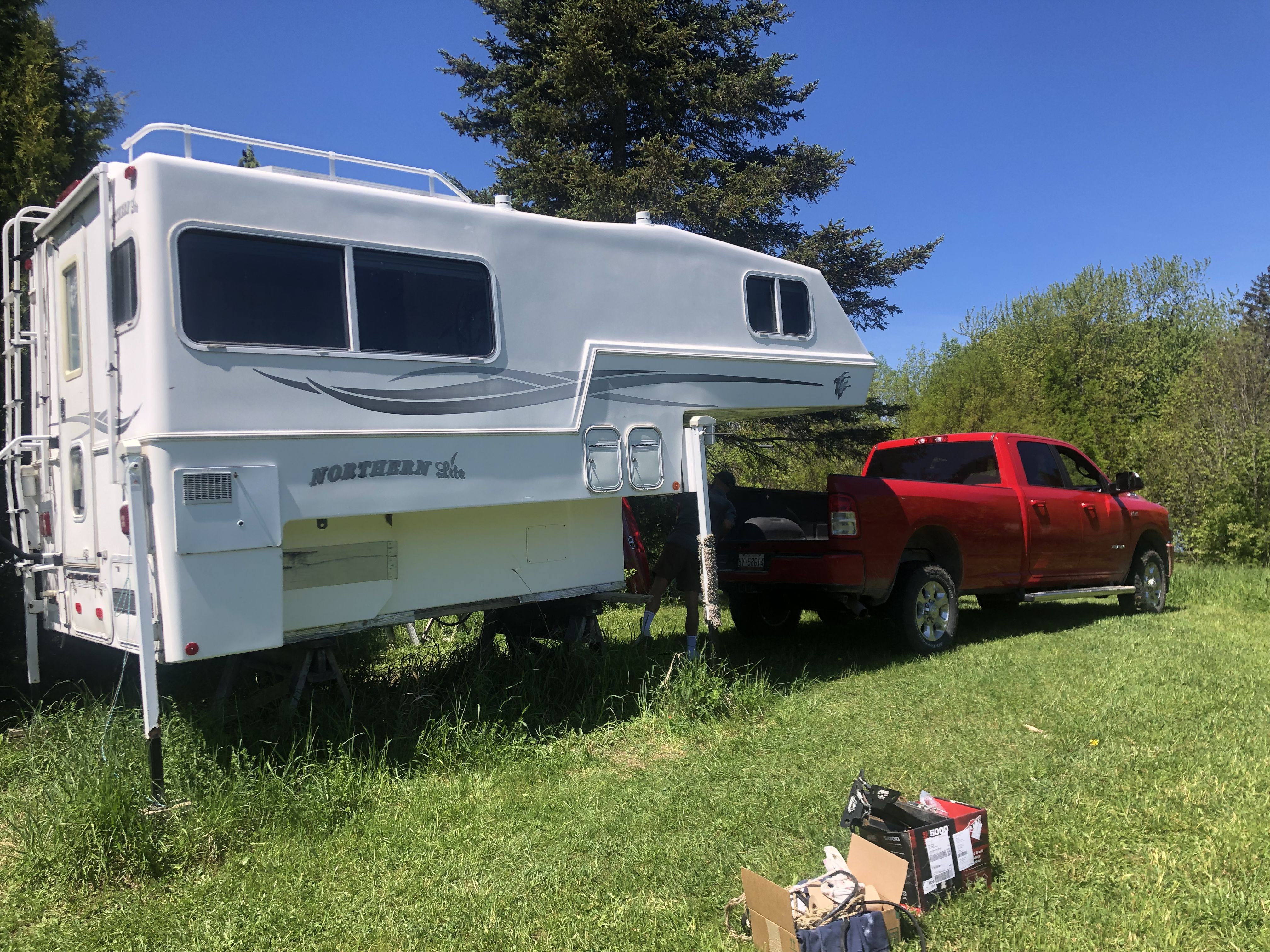
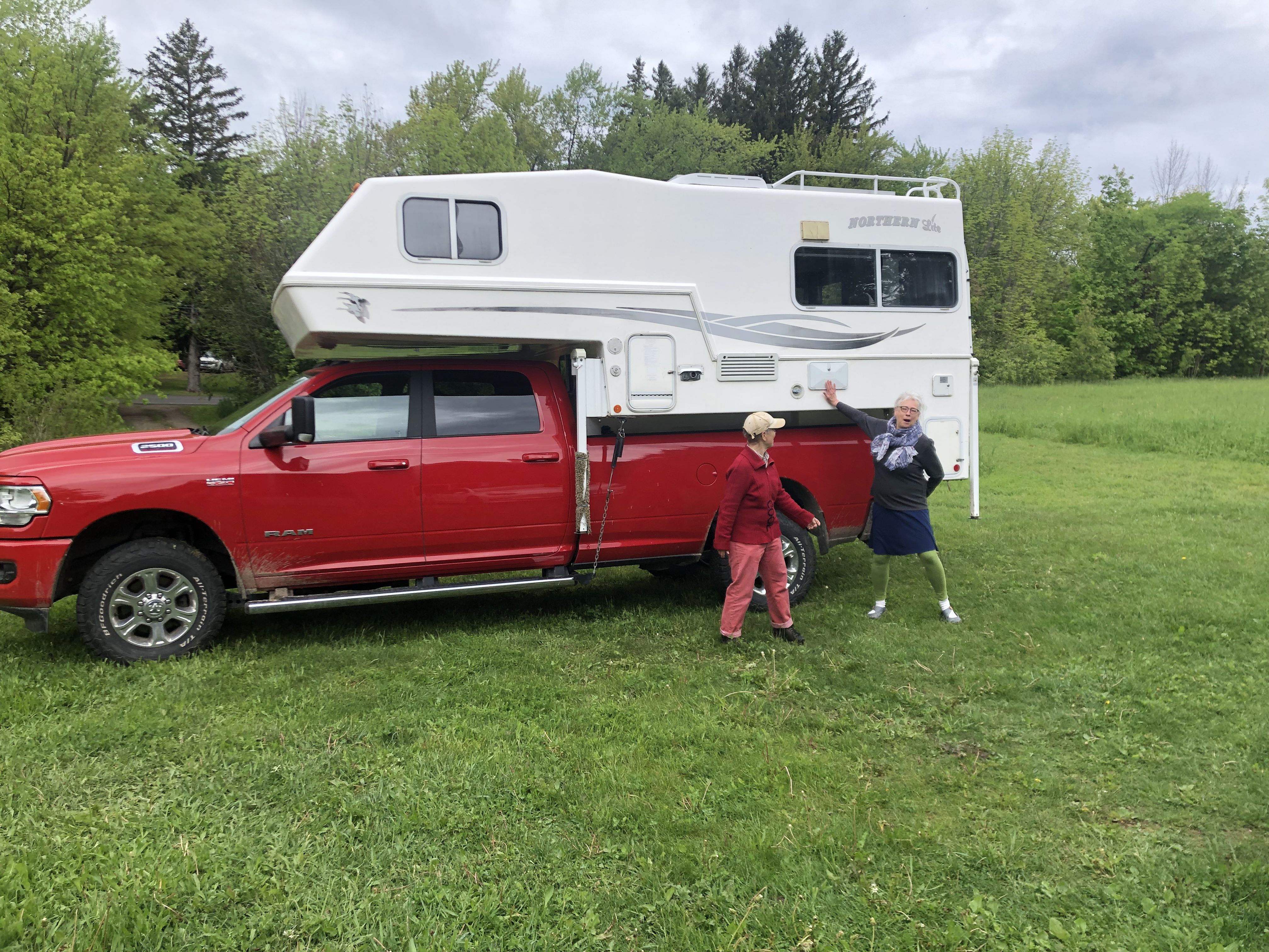
The start of our journey was slightly delayed due to some unexpected repairs on the camper. I had also planned to install a DC-DC charger between the truck’s alternator and the camper battery to improve the charging rate significantly while driving.
One of the biggest challenges was replacing the freshwater intake hose. This task involved cutting a hole in the side of the camper—yikes! Even then, accessing the clamps and fittings was incredibly difficult. Fortunately, Benno’s courage and nimble hands allowed him to remove the old hose and install the new one. Tim and Benno also helped polish the fiberglass hull—a task that demands a lot of patience and leaves your arms sore. Huge thanks to Benno and Tim for their hard work!
Meanwhile, Susi was busy finishing her semester and working on curriculum development.
In the midst of this hectic period, Annette arrived. She and I took a three-day break to visit our cabin on Manitoulin Island and check how it had survived the winter.
Finally, on May 28, 2024, we reached Tobermory and boarded the Chi-Cheemaun, the ferry connecting to Manitoulin Island!
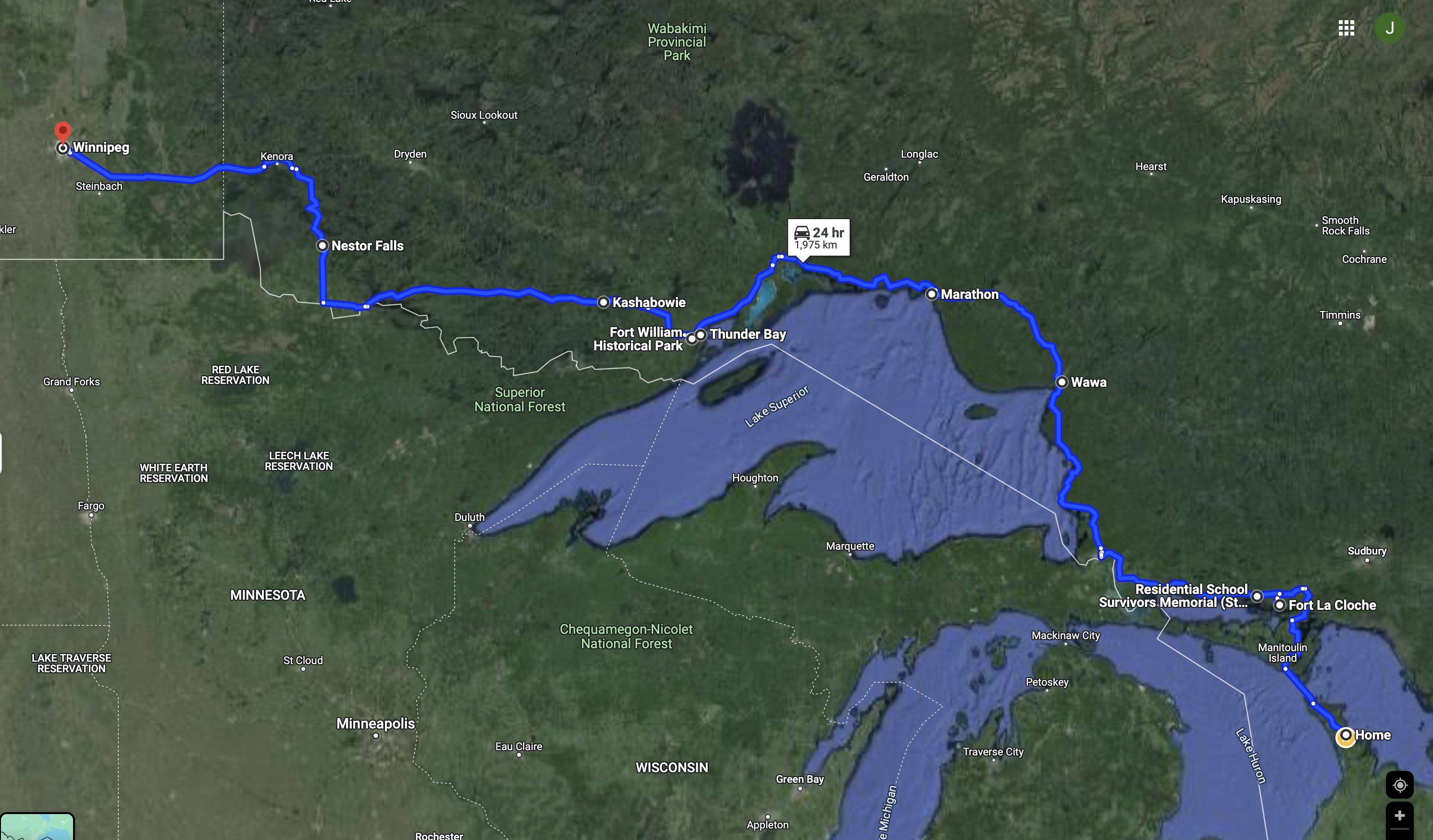
We began our trip on May 28 from Lion’s Head and arrived in Winnipeg on June 3.
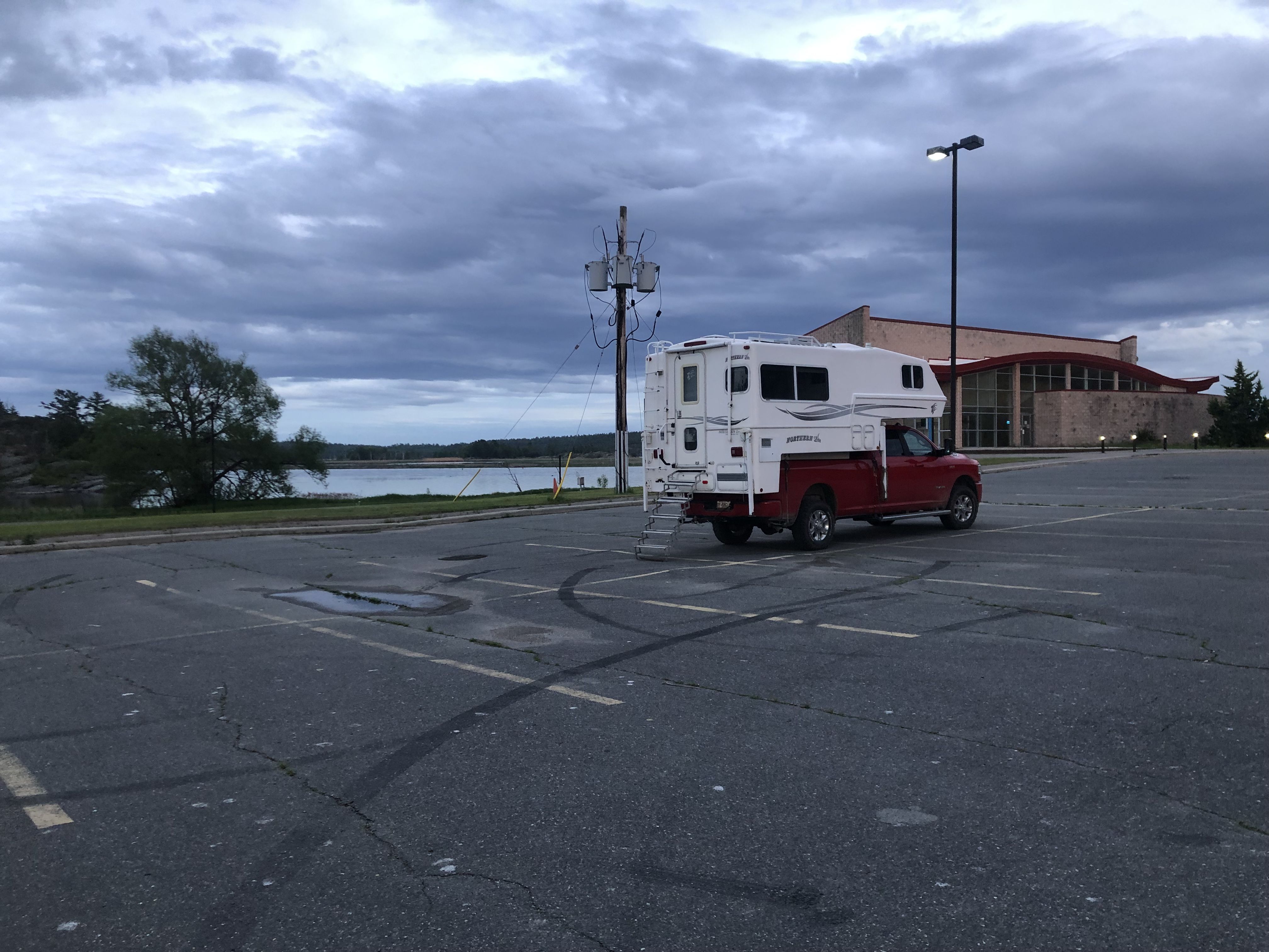
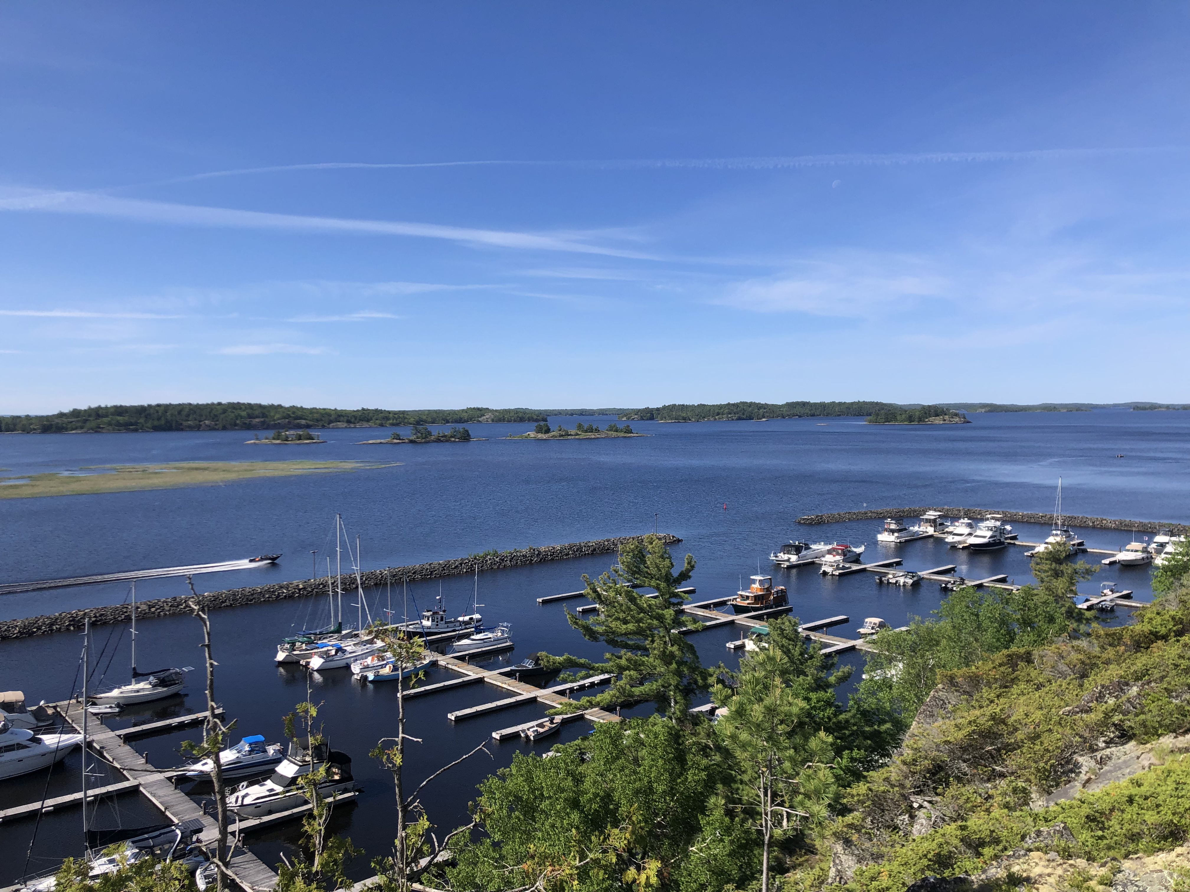
Our first campsite was at the marina in Spanish, located on the north shore of Lake Huron.
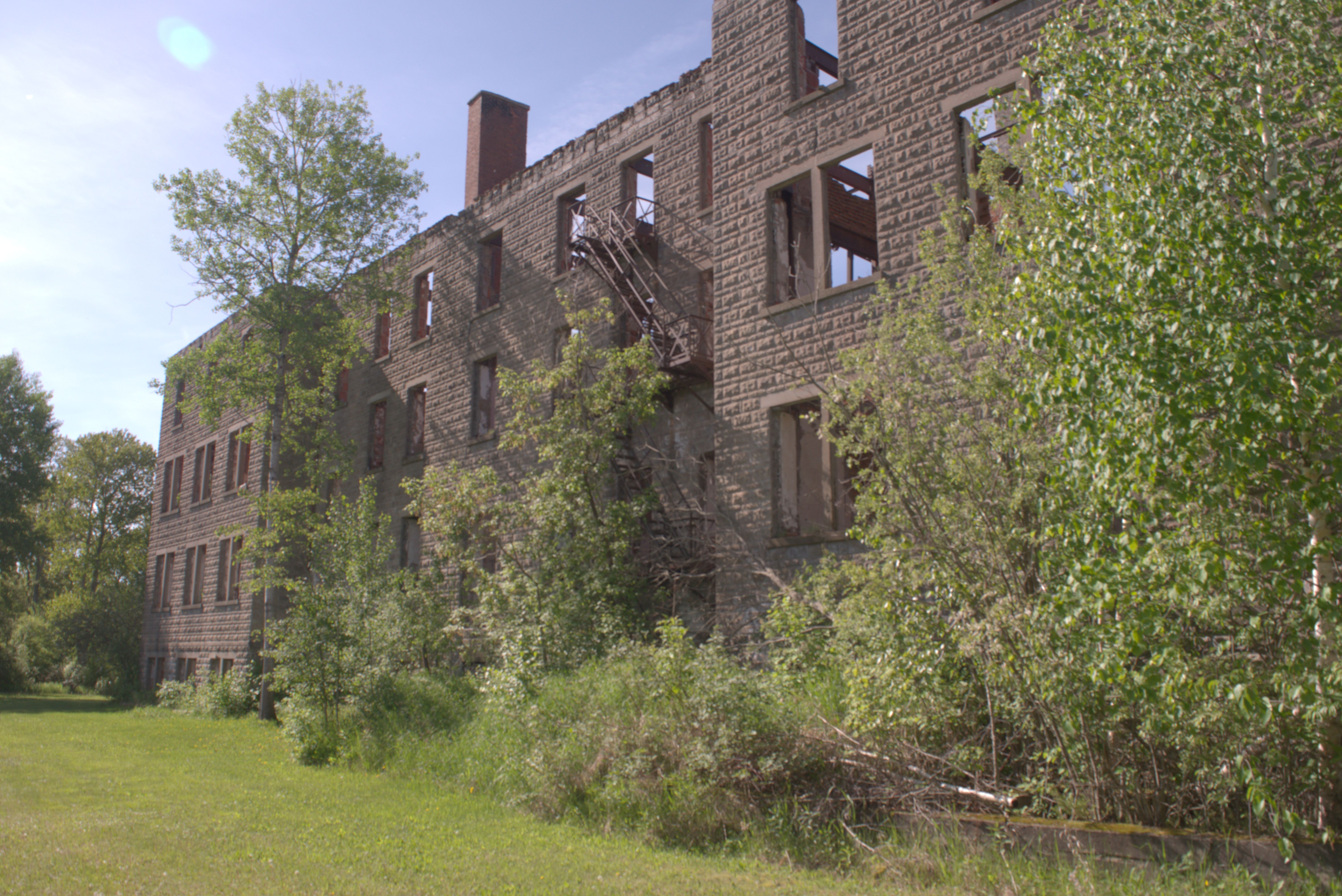
First Nation children from the Bruce Peninsula were sent to the Spanish Indian Residential School,which was operated by the Jesuits. Parents could only reach the school by crossing the lake from Tobermory to South Baymouth, even if they had been allowed to visit their children.
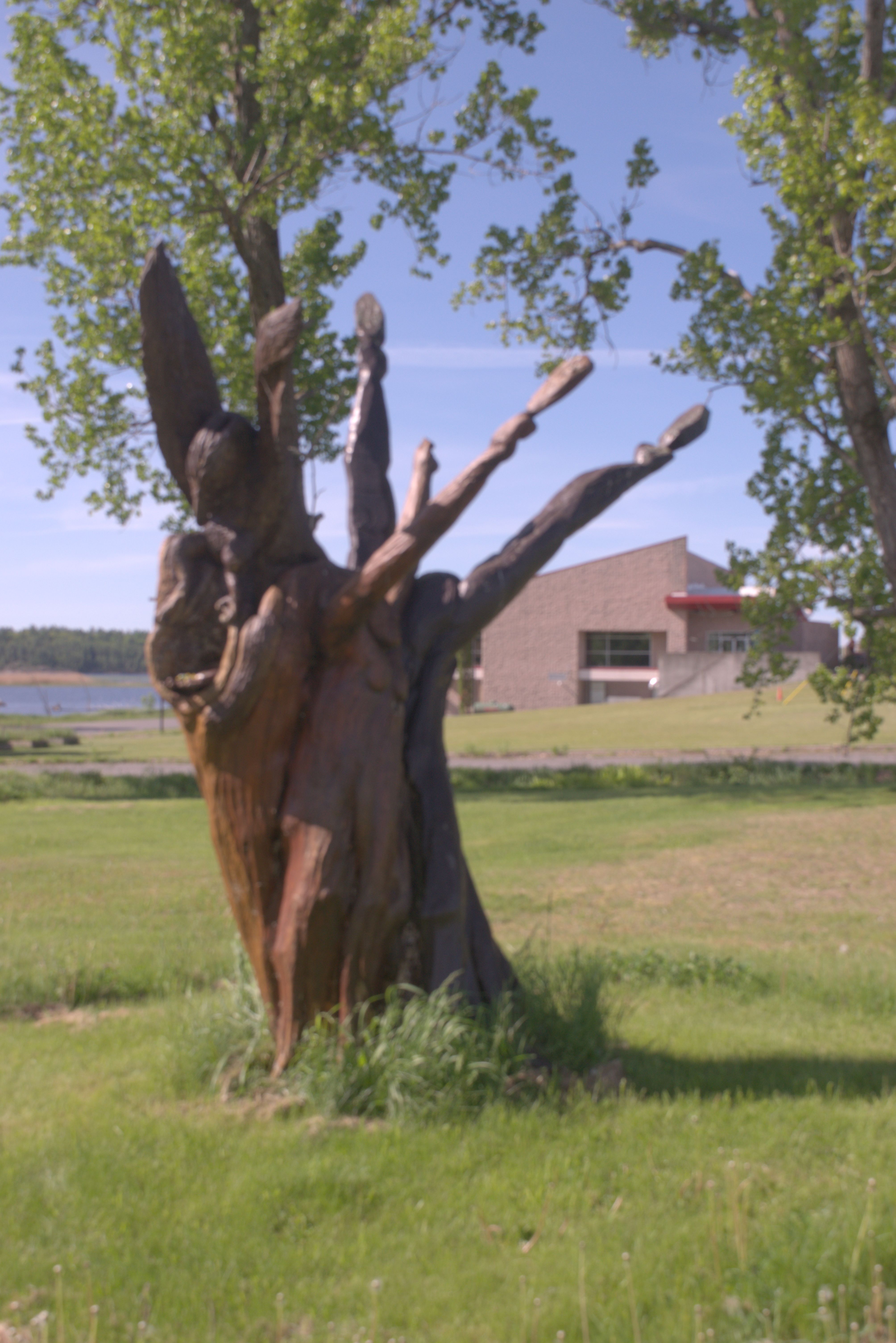
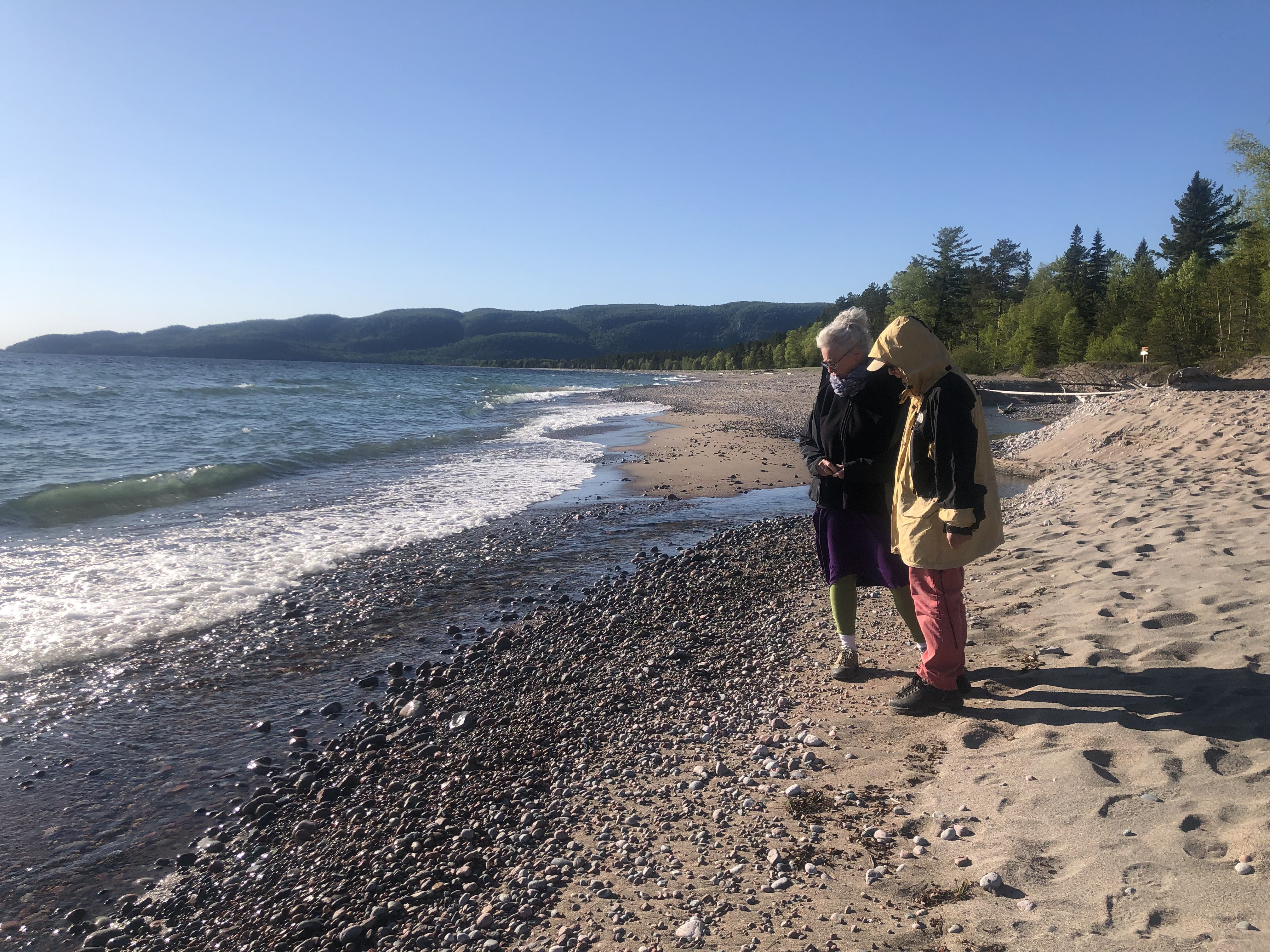
We spent our second night in Wawa, on the shores of Lake Wawa. The town is famous for its large Canada Goose sculpture.
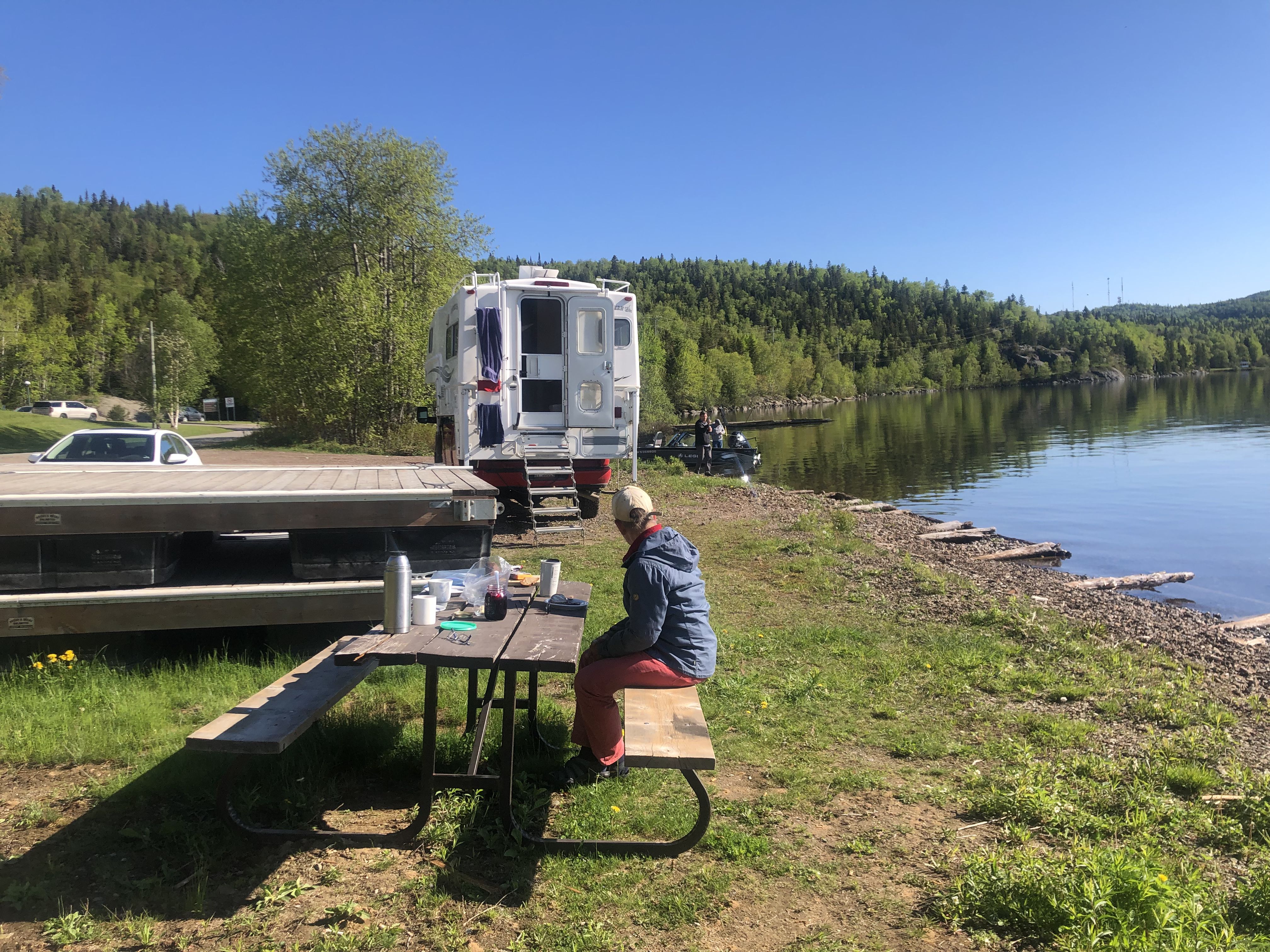
The next morning, we hiked to a smaller lake over a ridge that offered beautiful views.
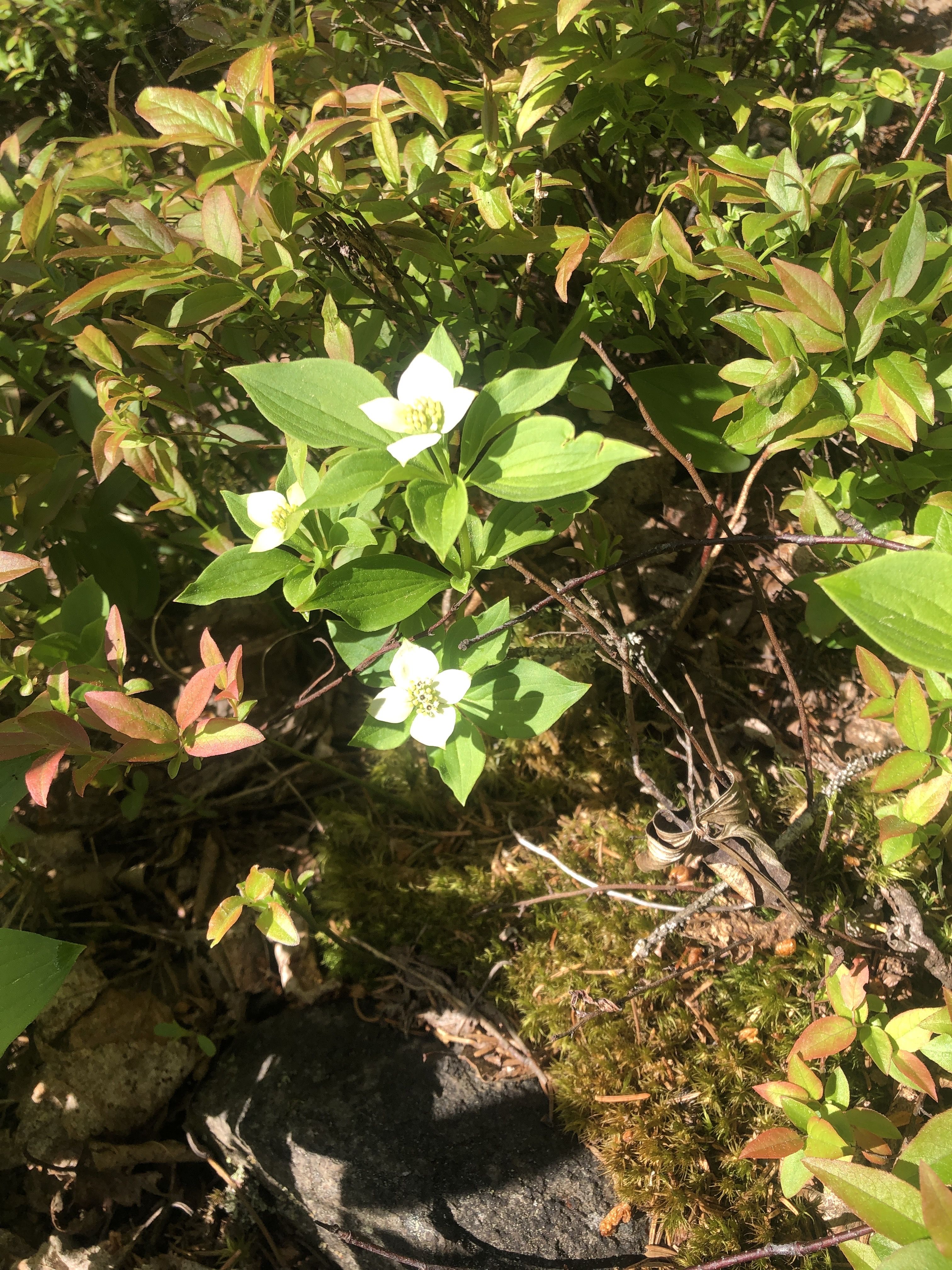
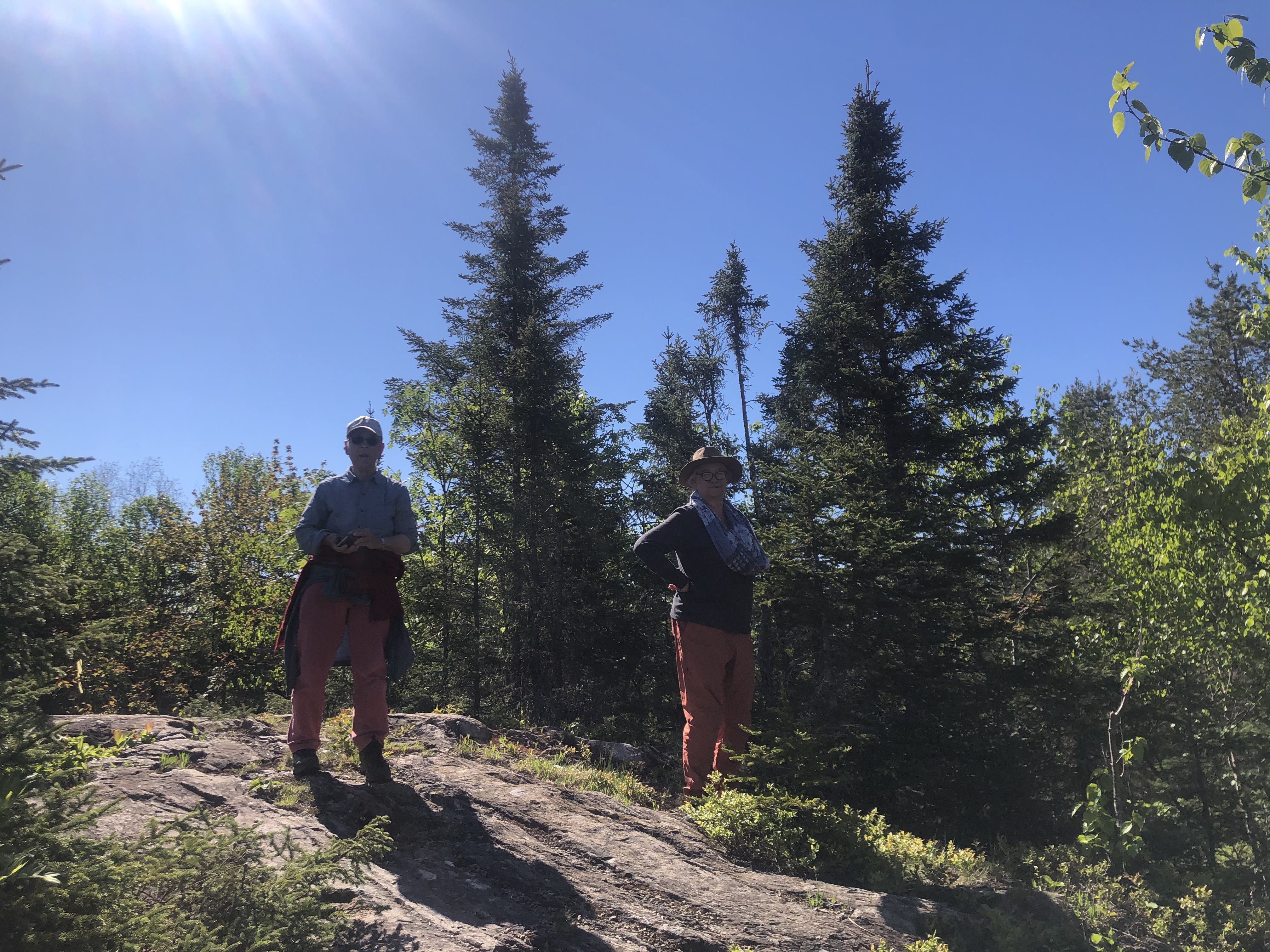
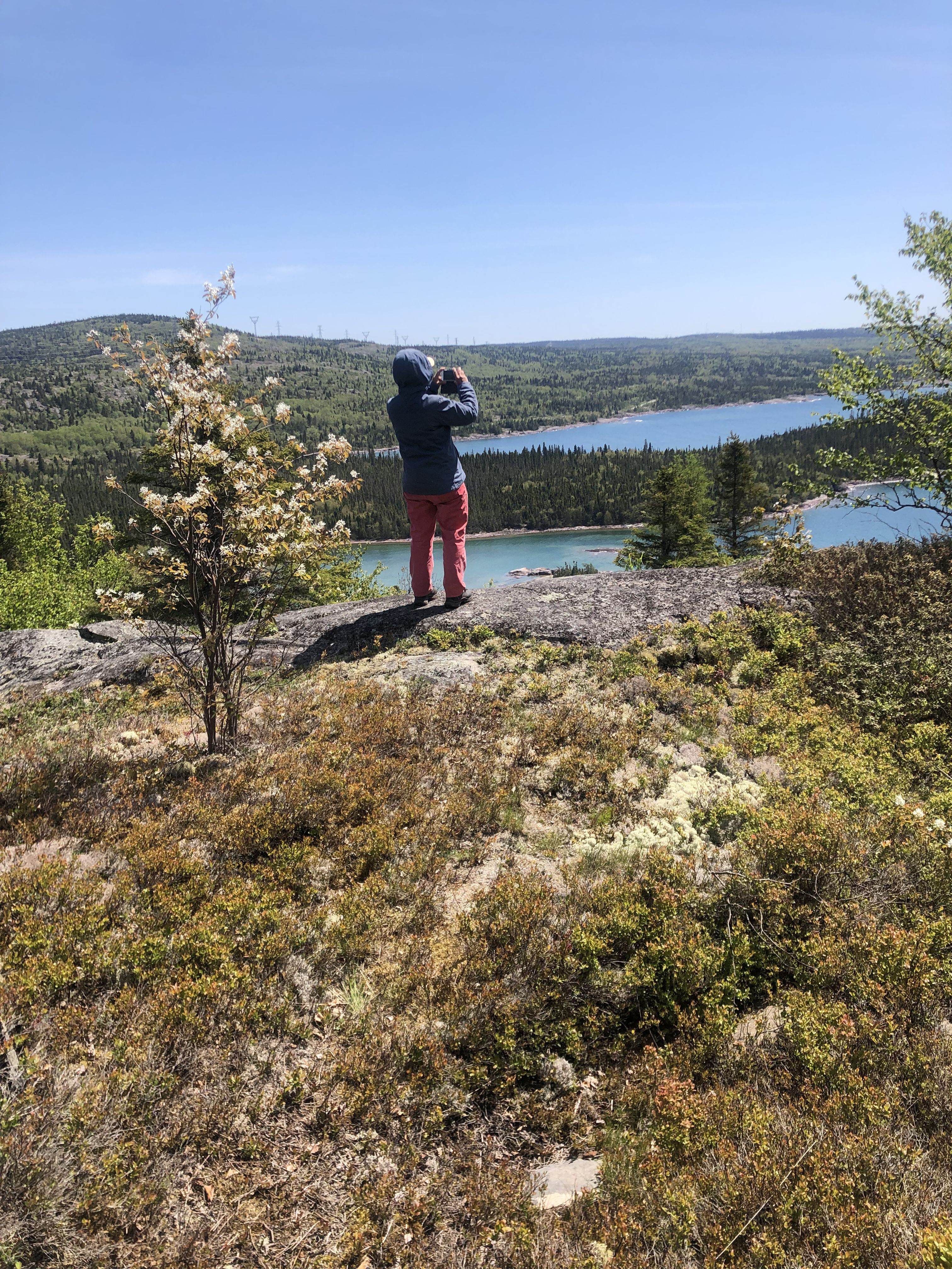
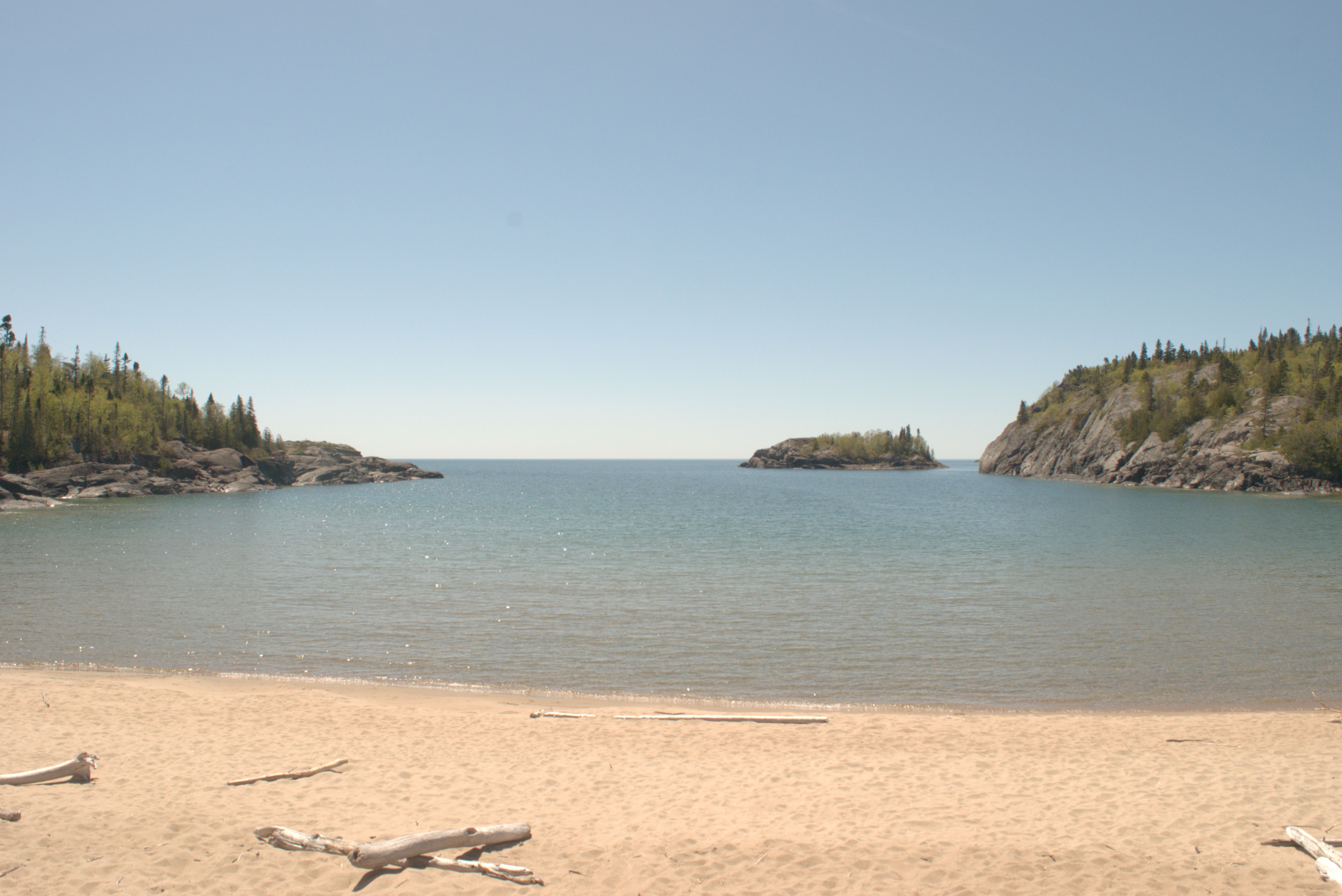
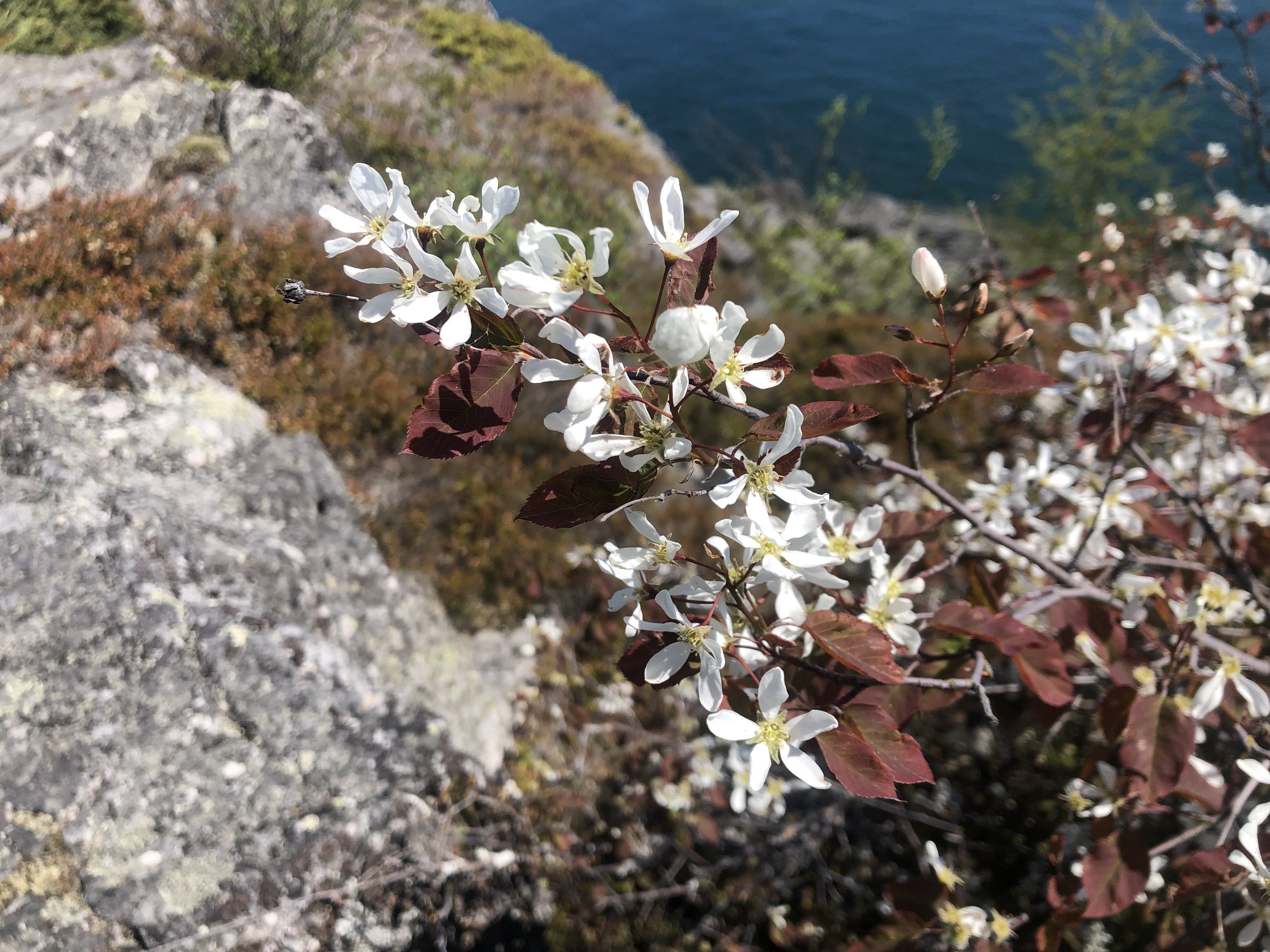
After spending the night near the site of the former lumber mill in Marathon, we hiked the Painters Loop in the morning.
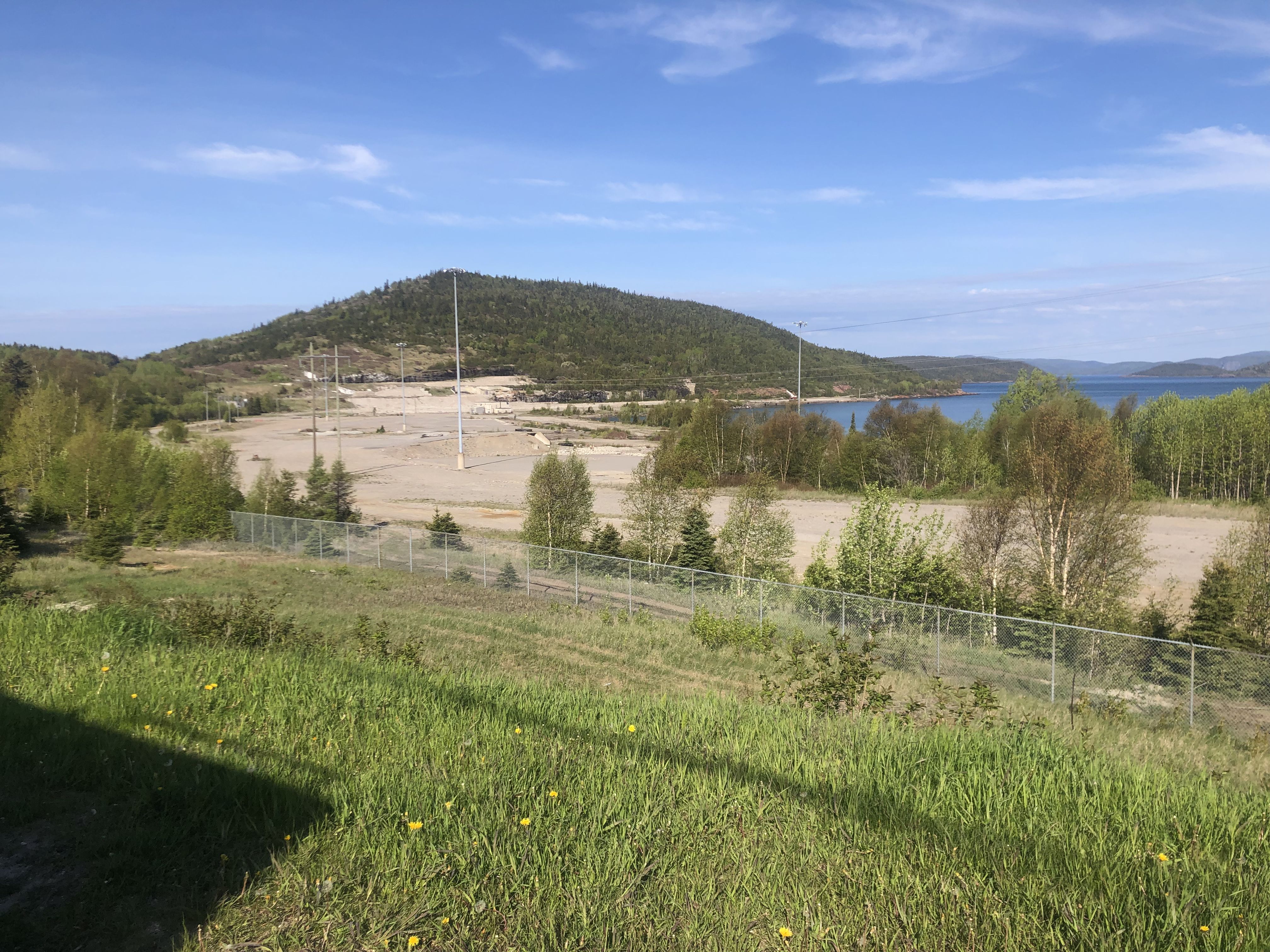
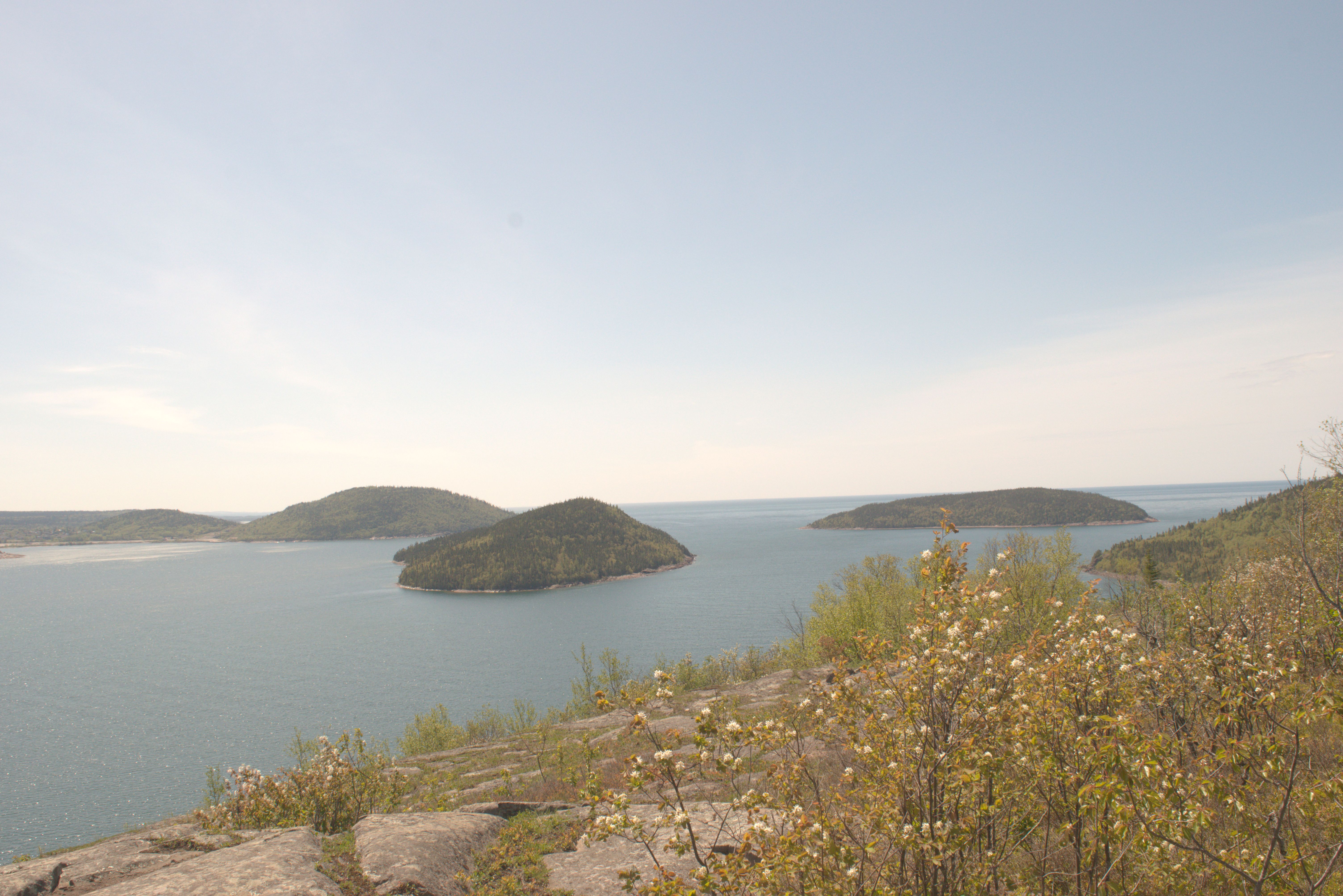
Members of the Group of Seven used the lookout as inspiration for their work.
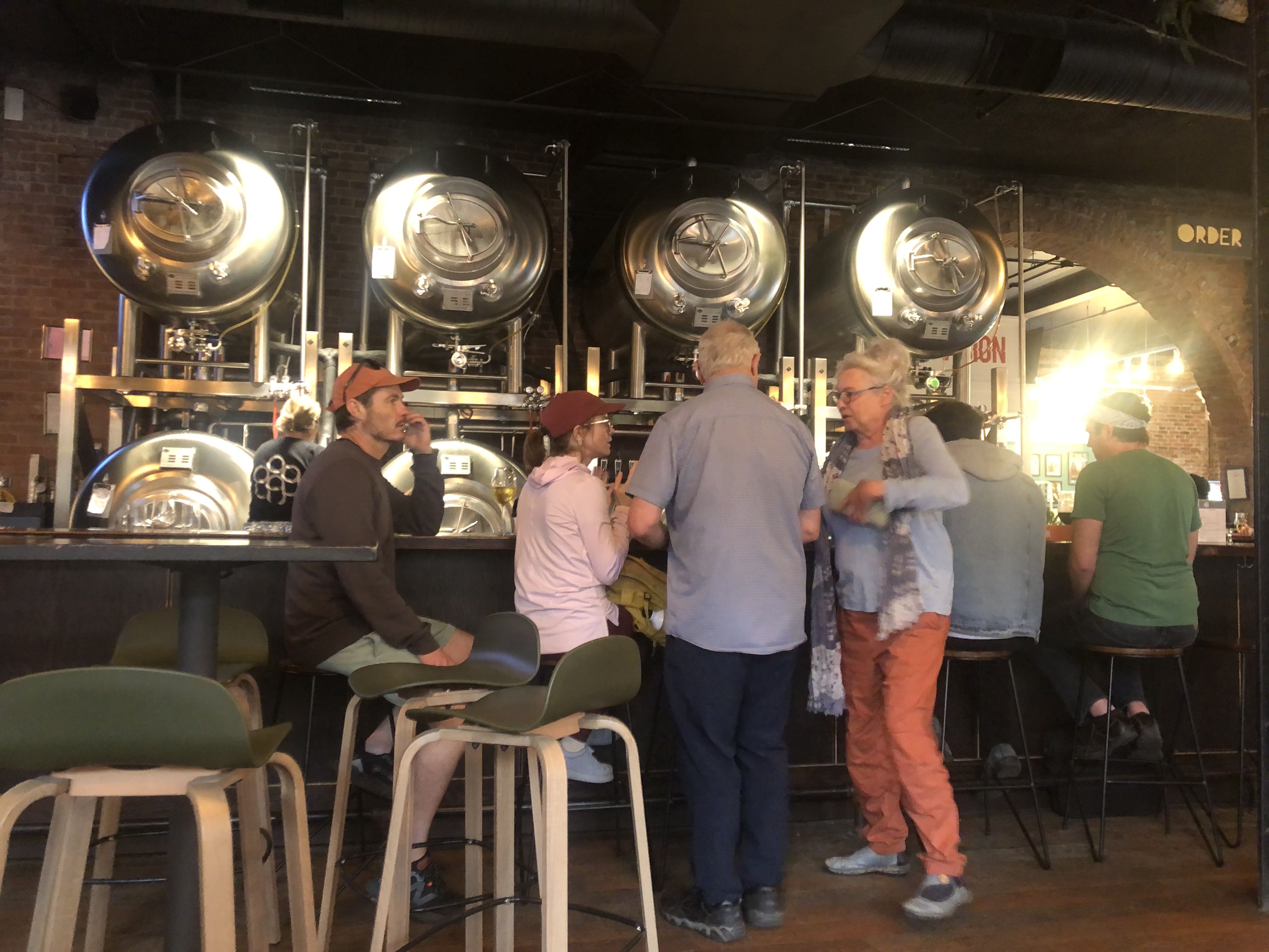
After the hike, we continued toward Thunder Bay. During the drive, we imagined spending the evening at a nice brewpub. However, it was more challenging than expected to find one. Thanks to Susi’s creativity, we eventually succeeded and enjoyed a pleasant evening before spending the night in a nearby parking lot.
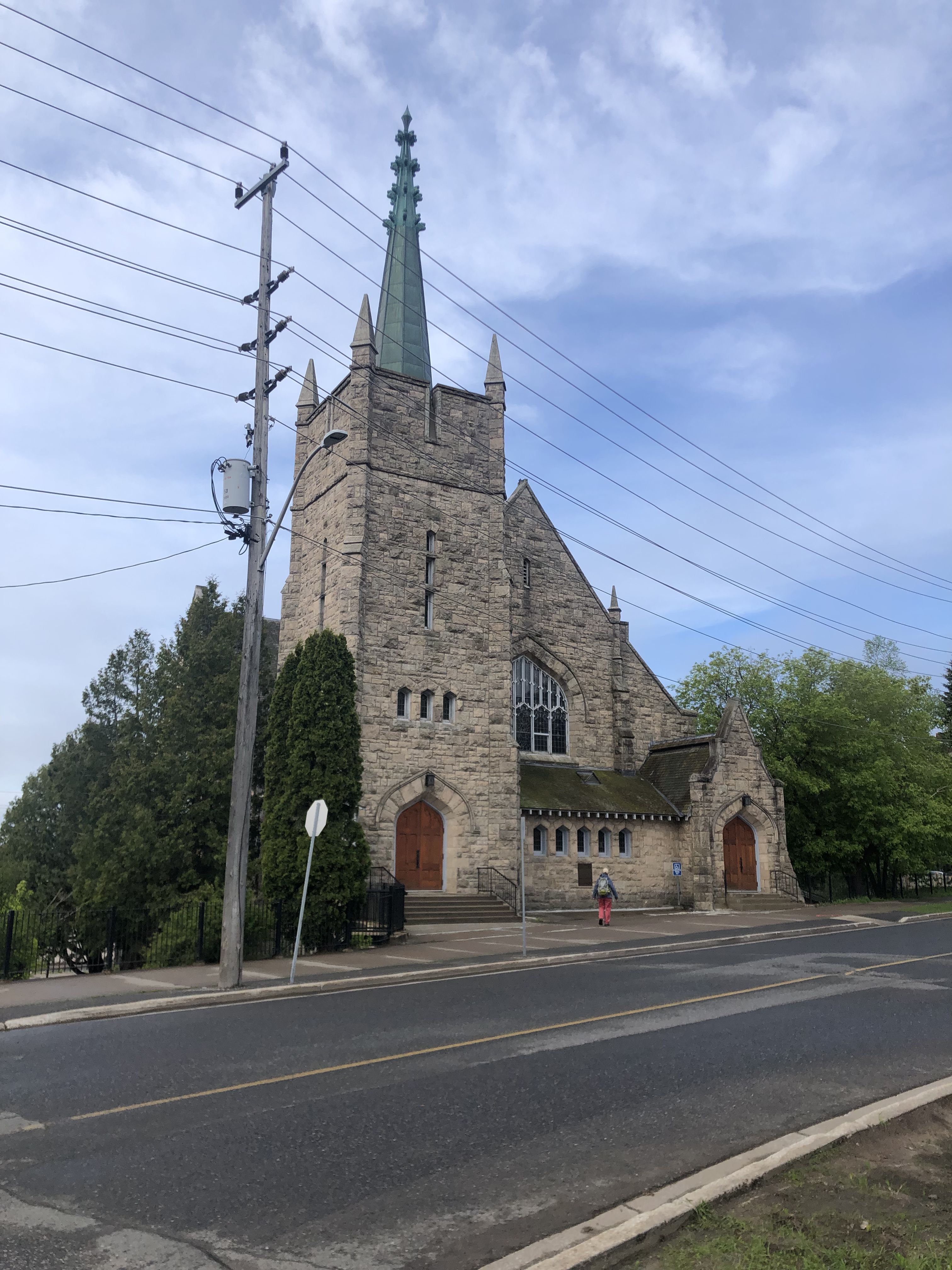
We enjoyed coffee and snacks at this church-turned-coffee shop and community meeting place.
On our way to Kenora, we visited Fort William and enjoyed a partially guided reenactment tour of the compound. The historic site was gearing up for the season, so some buildings and displays were not yet open.
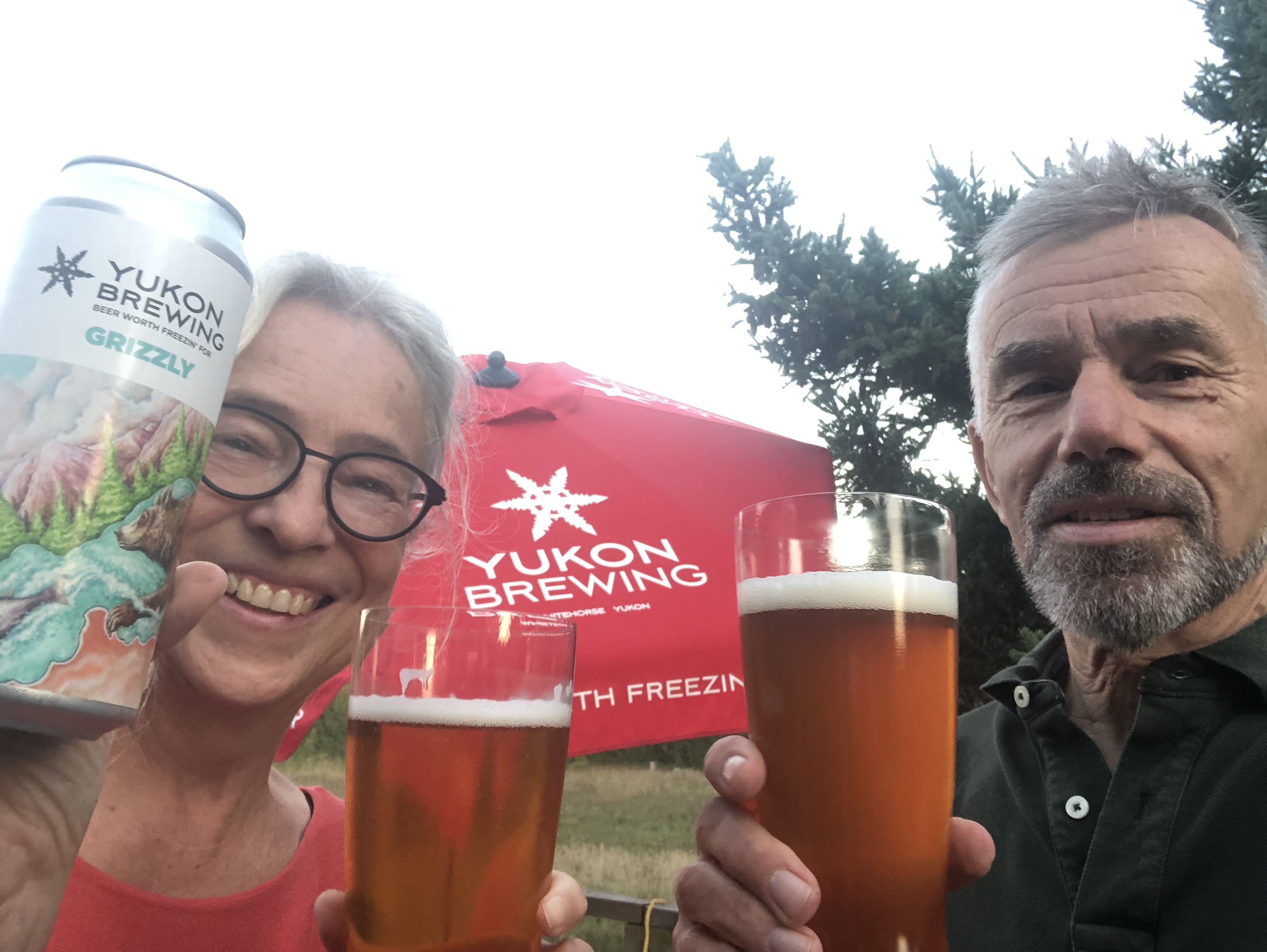
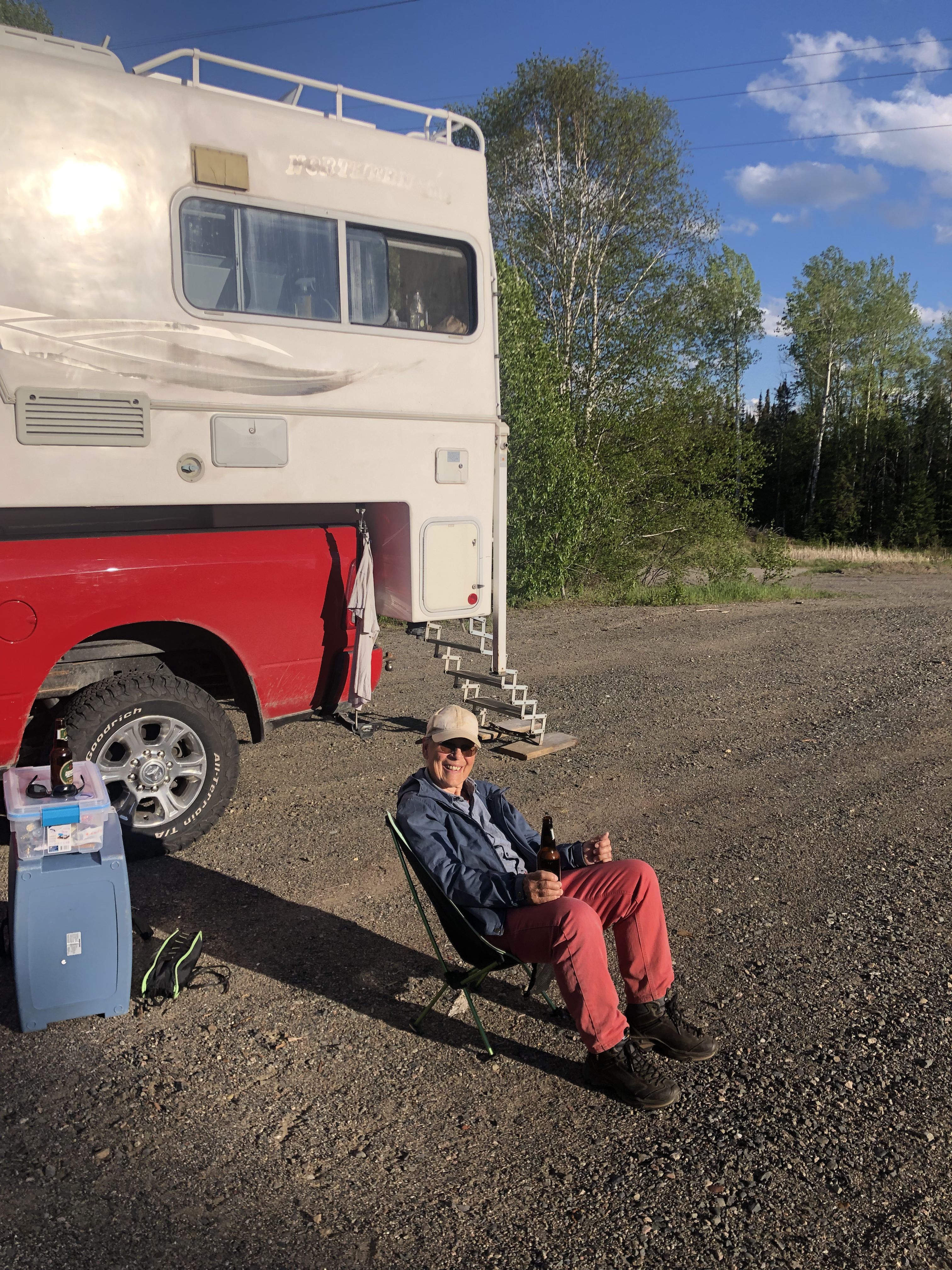
Annette enjoyed a beer in the evening sun at our resting spot for the night.
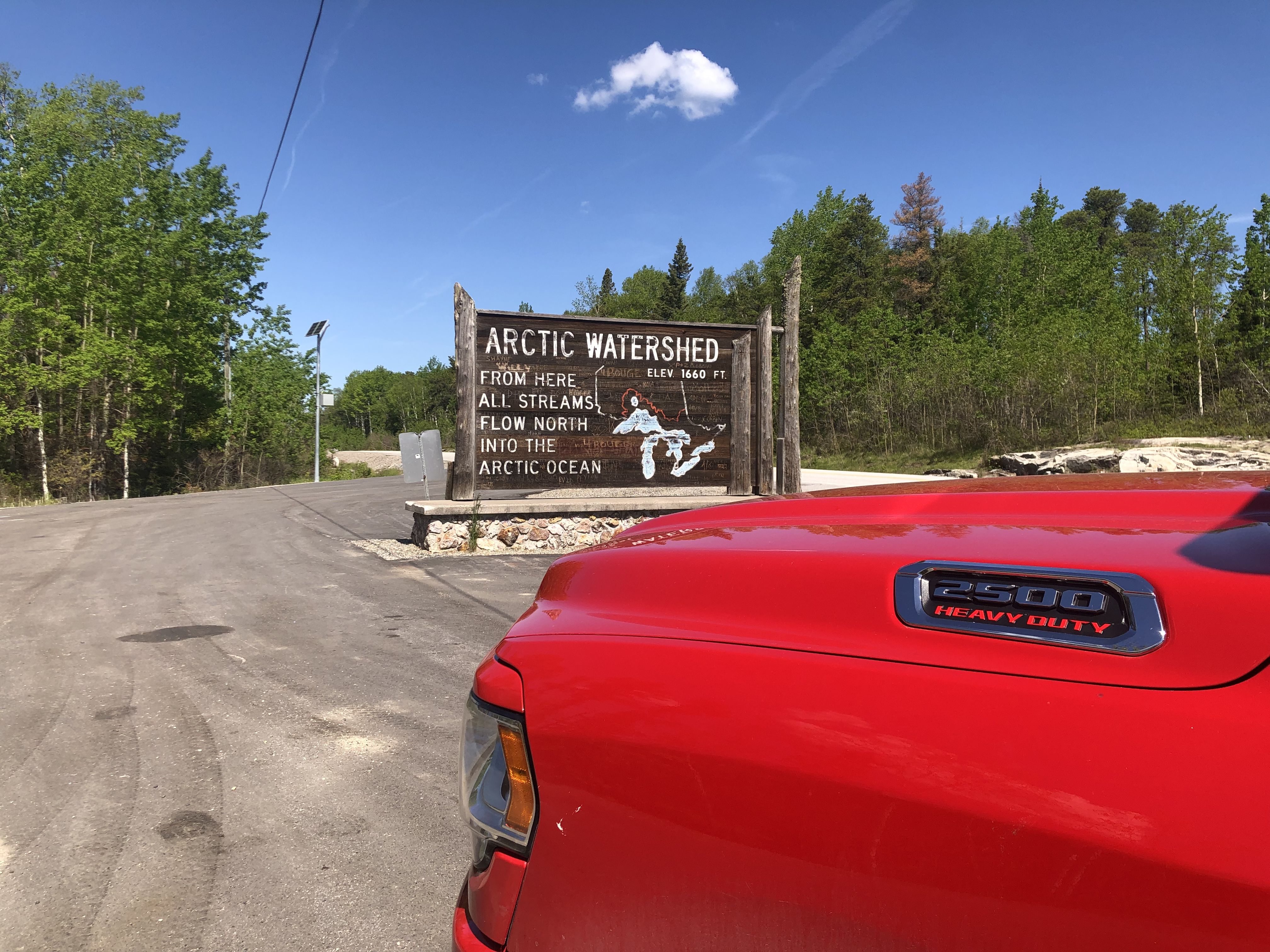
Just west of Quetico, we crossed the Arctic/Atlantic Watershed boundary.
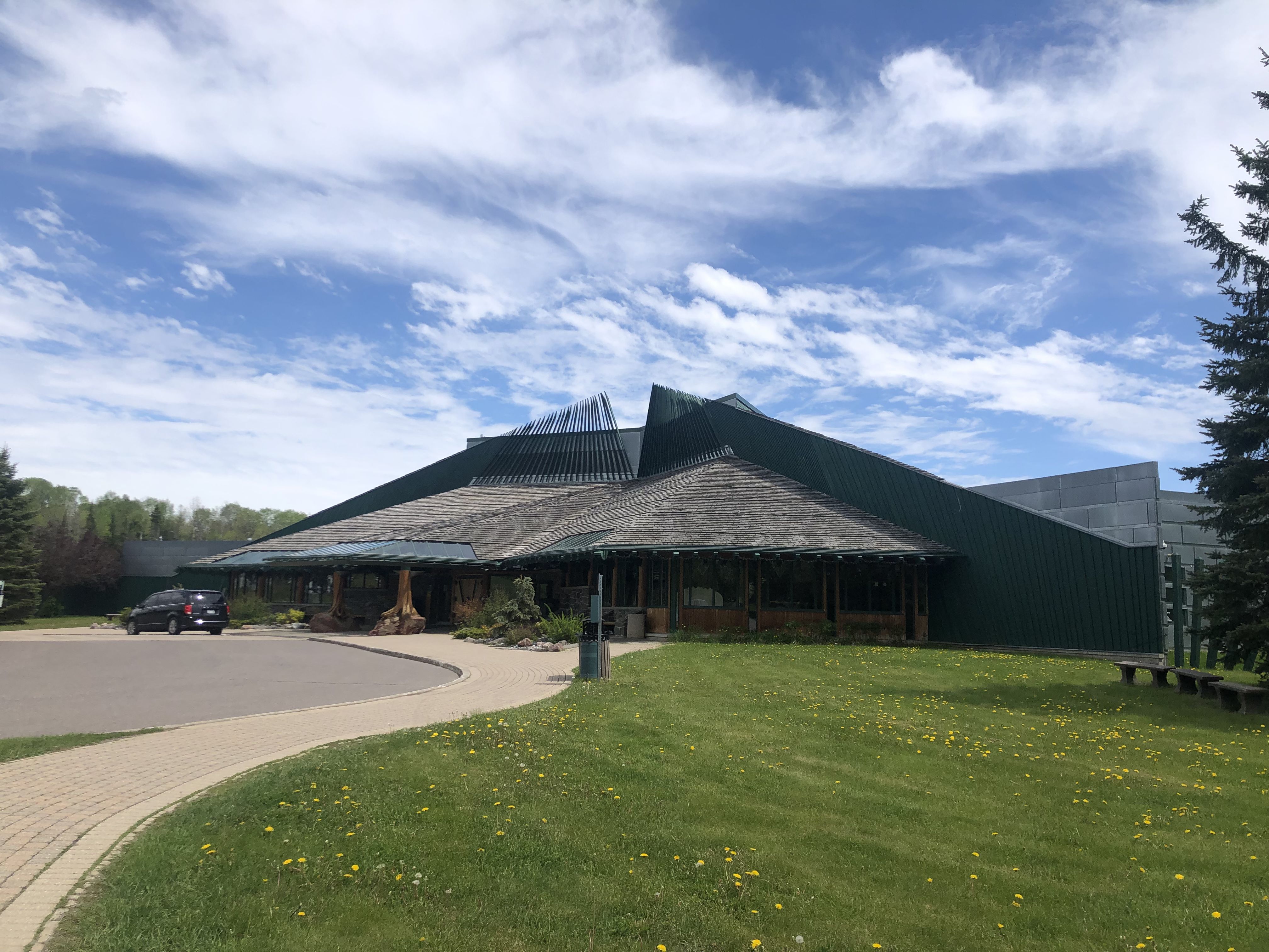
Our next stop was the Quetico Provincial Park Visitor Centre. The Canadian side of the park is almost twice the size of the German state of Saarland. In addition to learning about the natural and cultural history of this significant boundary water, I enjoyed browsing the free book exchange.
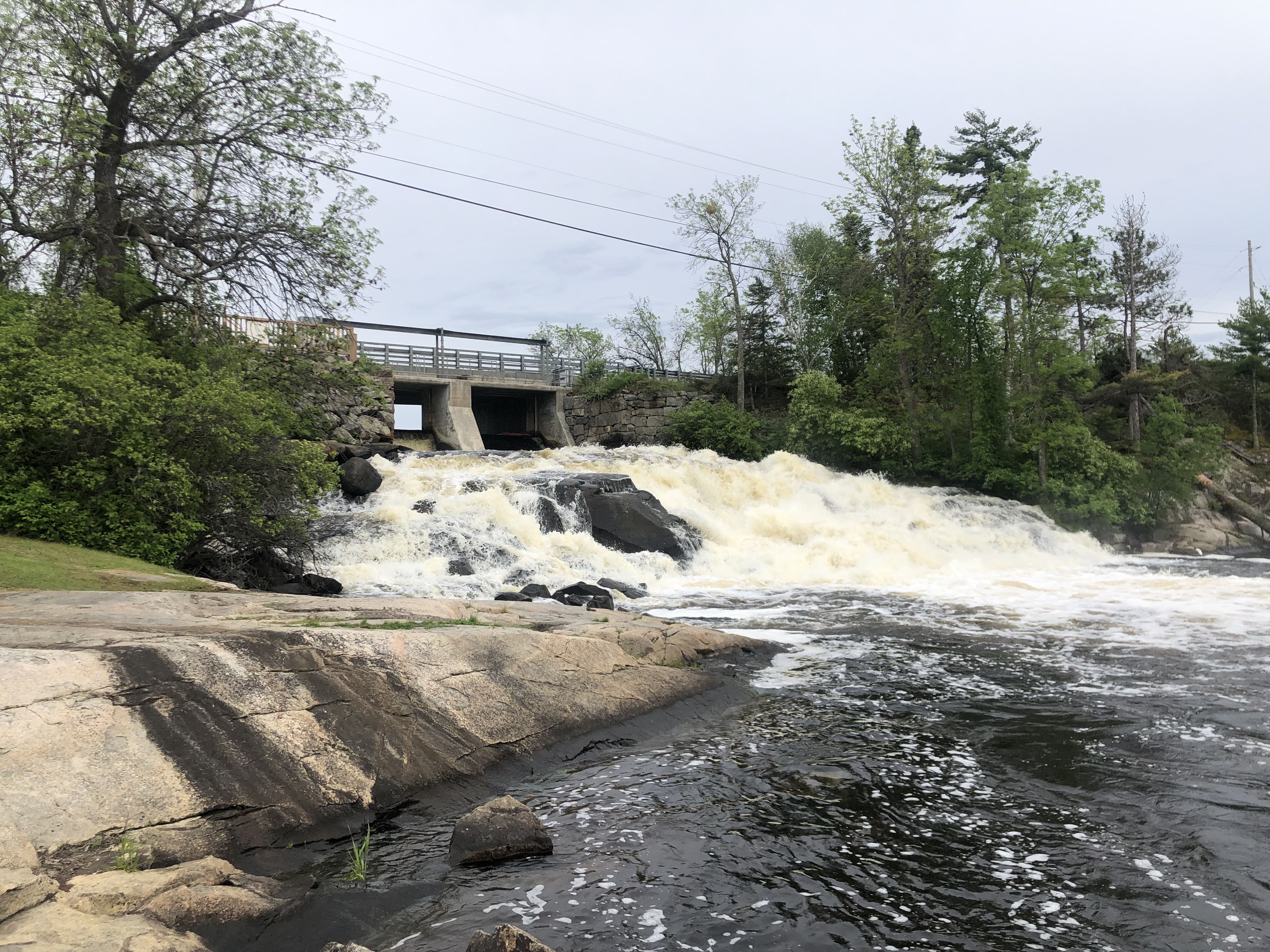
We camped for the night at Nestor Falls on Kakabikitchiwan Lake.
In Kenora, we stopped to stock up on wine and beer before leaving Ontario and spent some quality time in a laundromat.
After crossing into Manitoba, we continued to Winnipeg. The Forks, located at the confluence of the Red River and the Assiniboine River, is a place we have visited in the past while passing through Winnipeg. During the summer, many cultural festivities are held here. In recent years, the area has undergone significant upgrades.
We stayed overnight in a nearby parking lot, albeit for a steep fee. That night, heavy rainfall caused Annette’s bed to get wet because we closed the window too late. Fortunately, each parking space is equipped with a power outlet for engine block heaters in winter. We used the power supply to dry the bedding with a hairdryer.
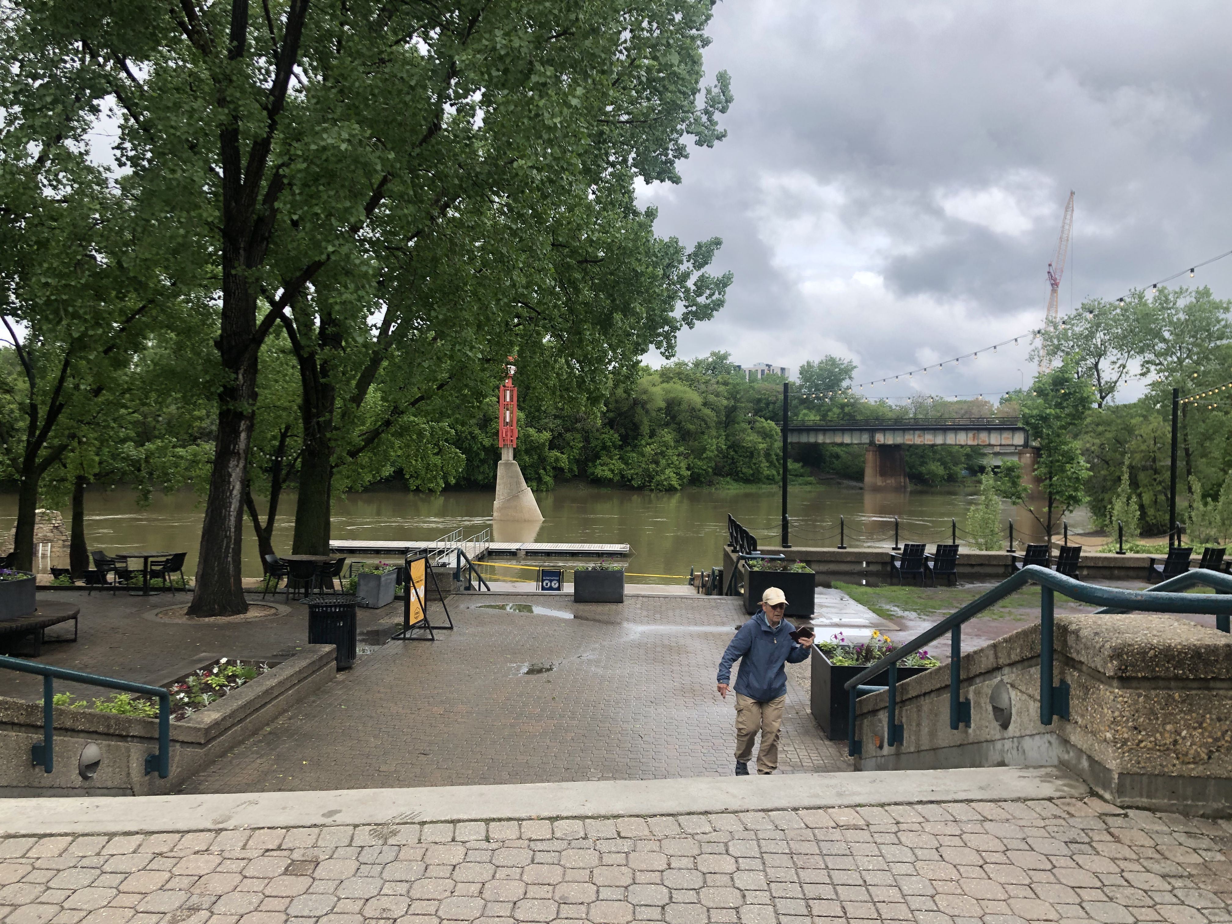
While Susi visited the Museum for Human Rights, Annette and I explored a First Nations cultural information center.
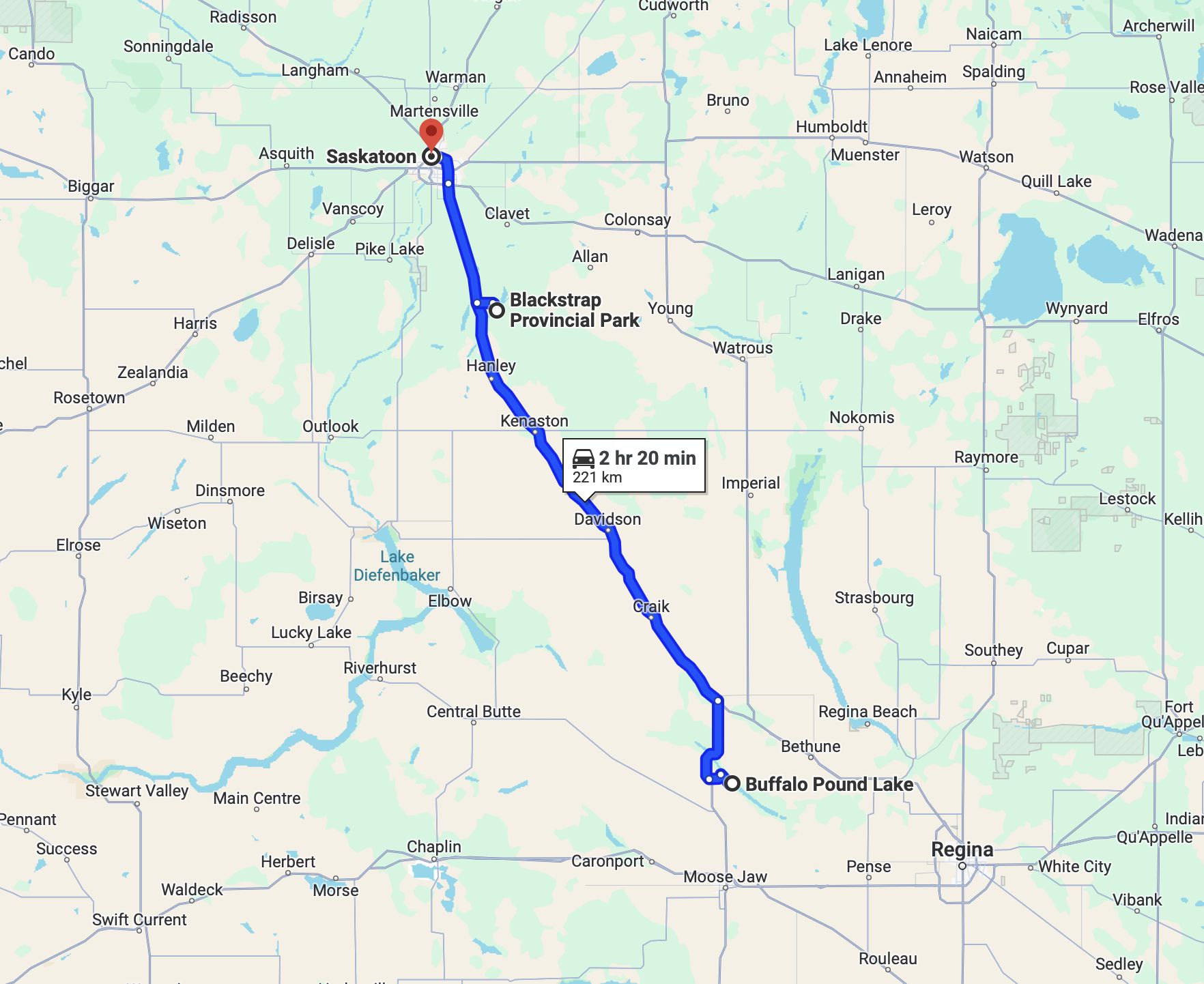
From Winnipeg, we headed towards Buffalo Pond Lake, arriving on June 10.
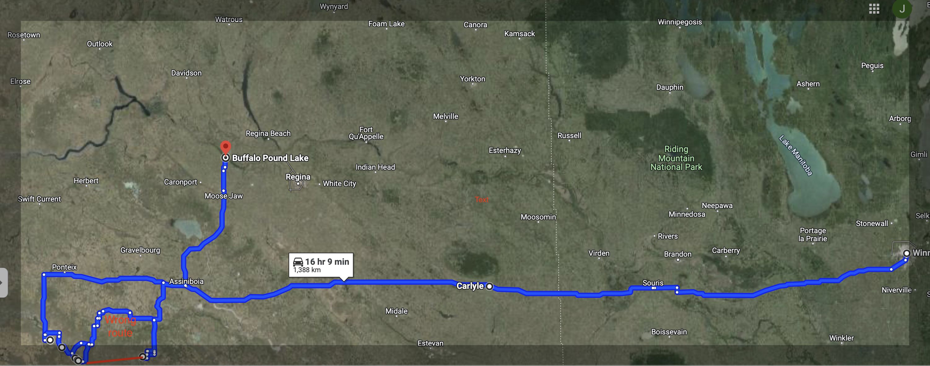
The lower boundary of the map above represents the border with the USA.
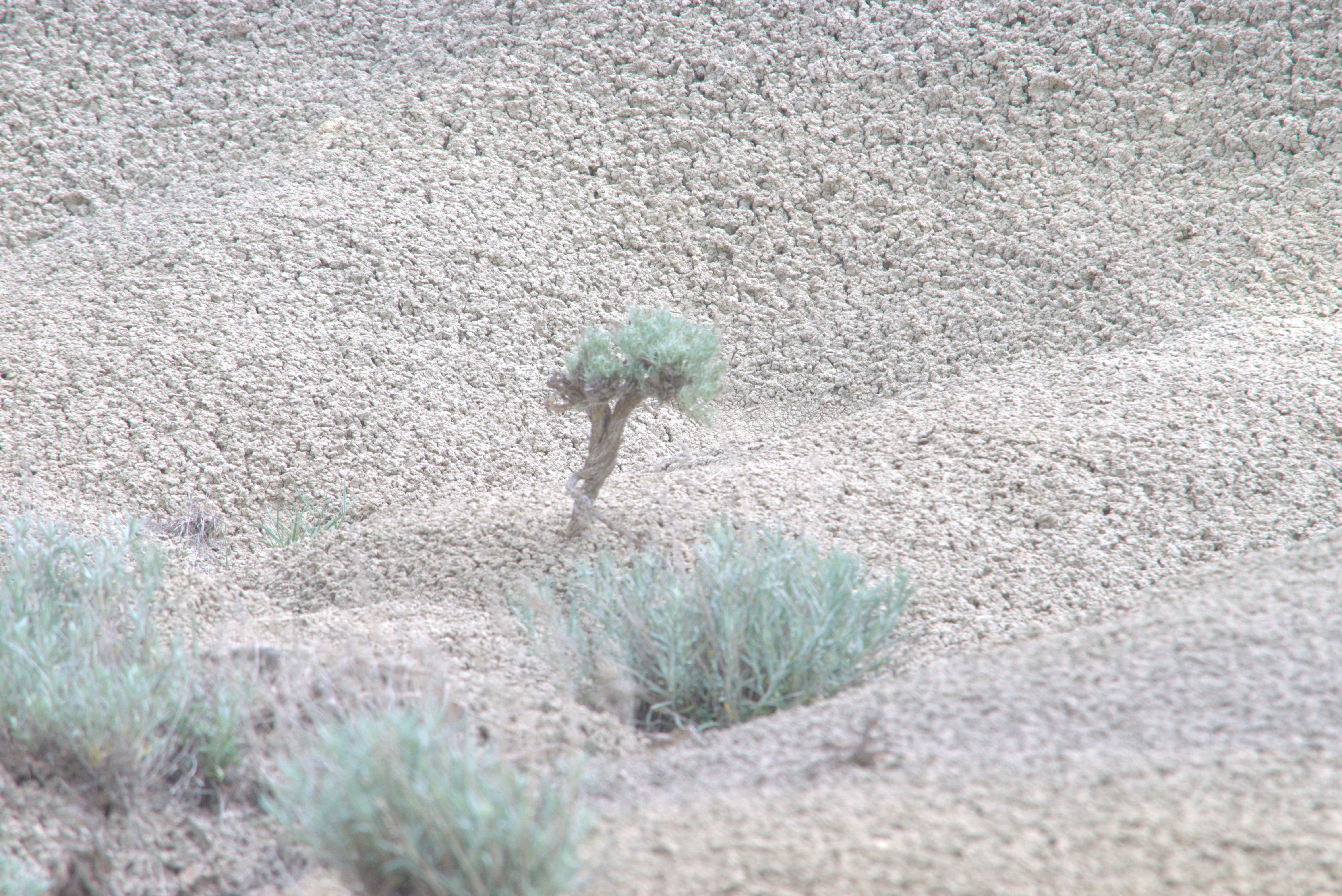
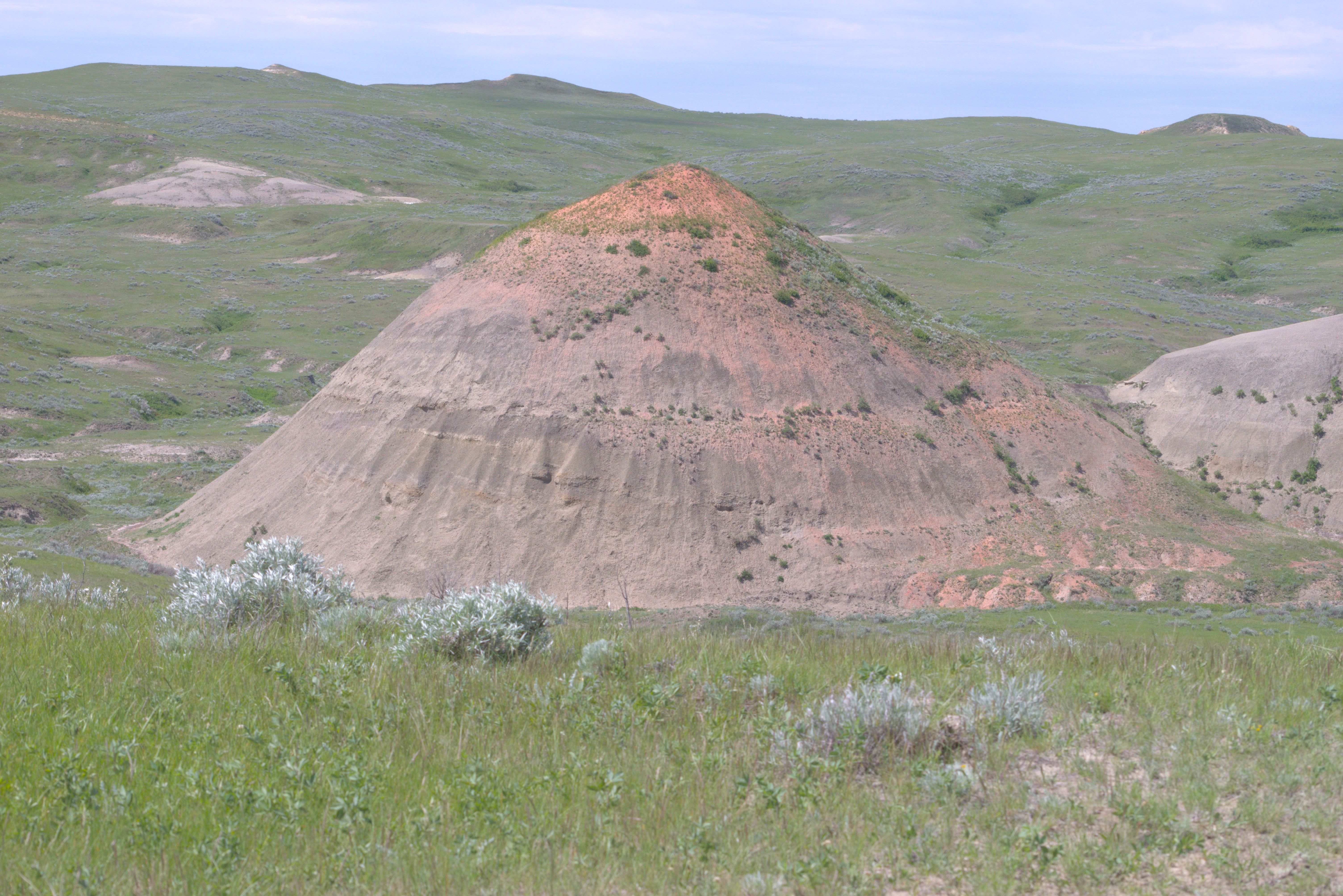
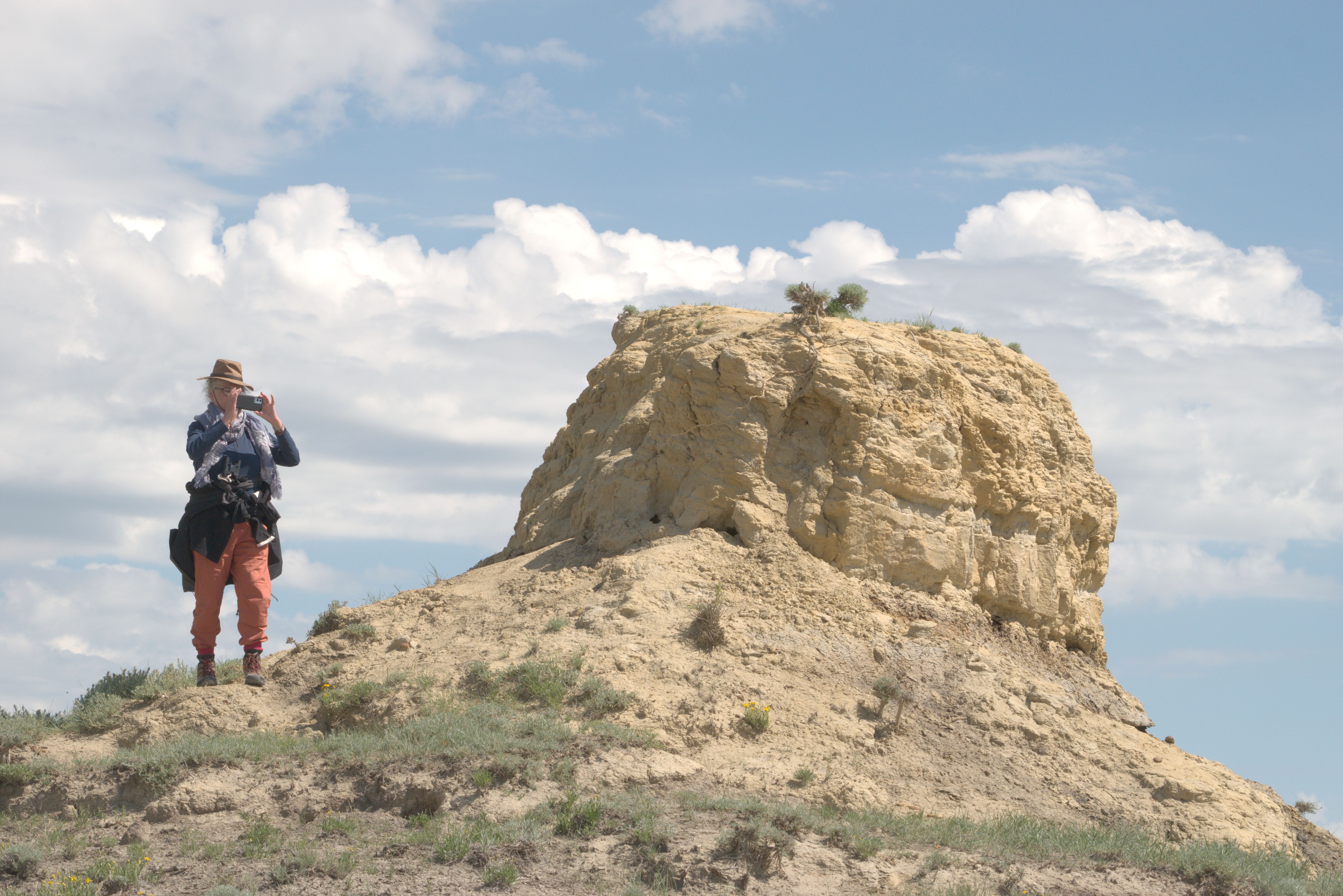
The map does not accurately represent our route through Grasslands National Park. Google Maps omits the gravel road connecting the two southern points in the West Block. Refer to the red line on the map—this marks the road we took instead of the northern loop indicated by Google.
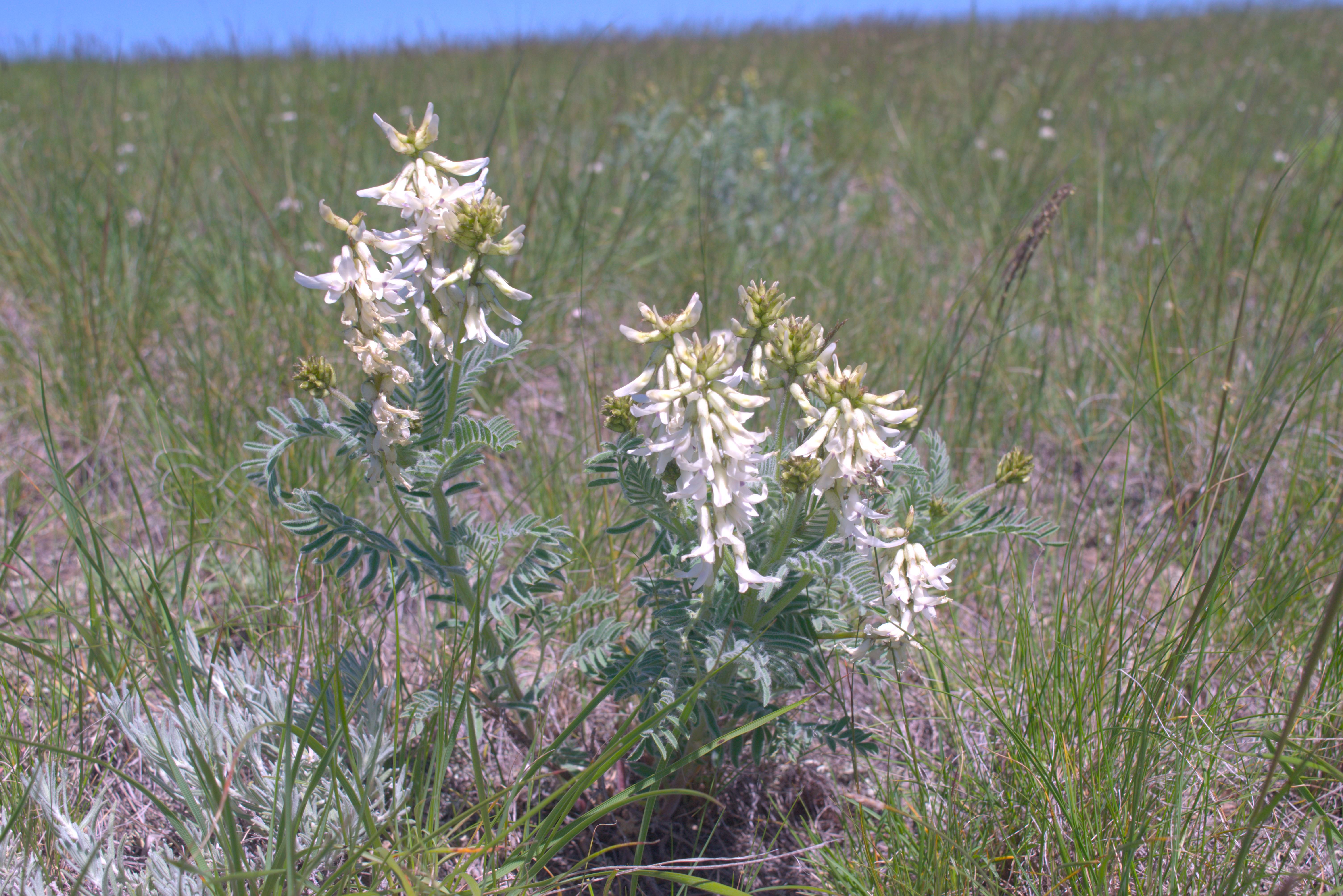
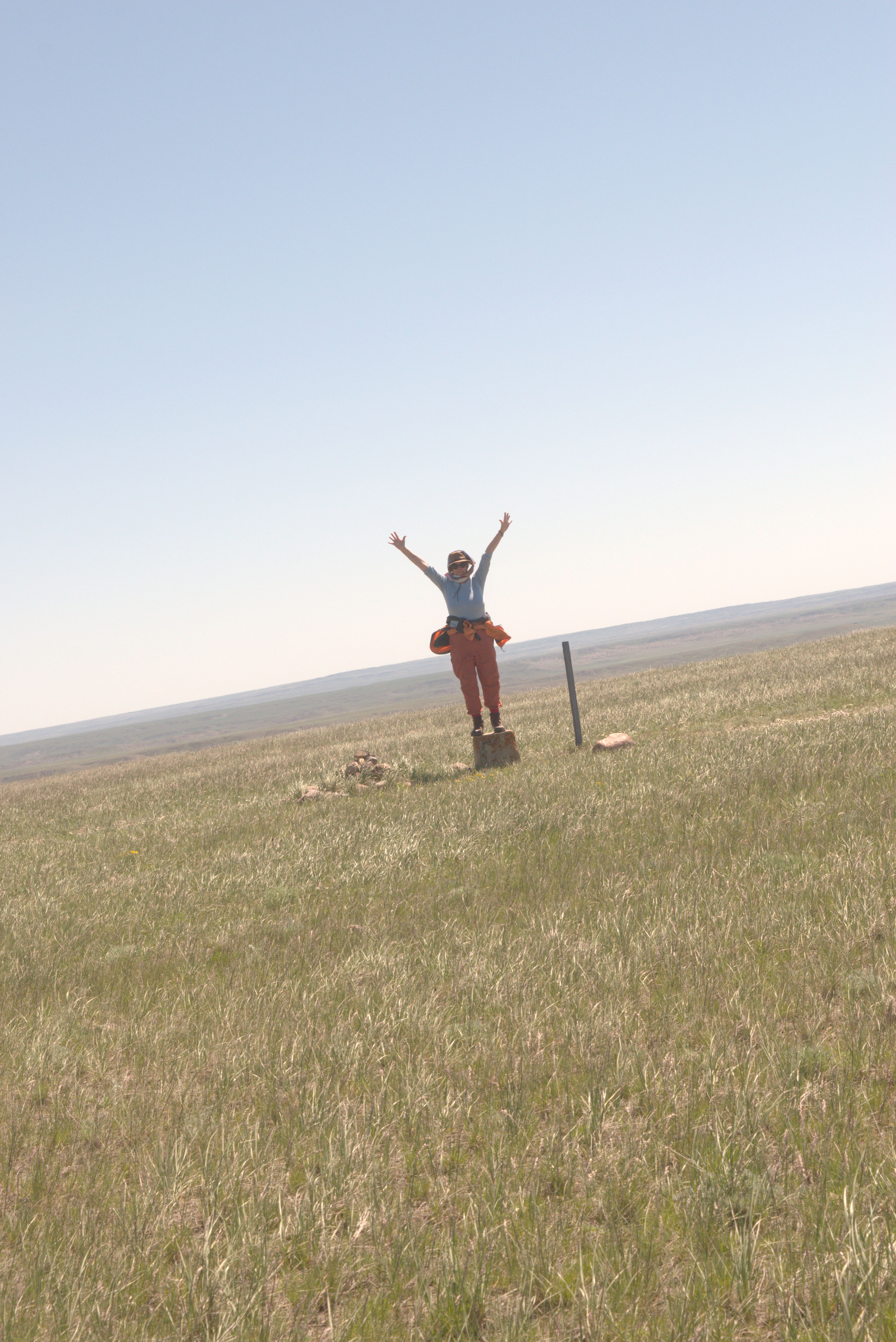
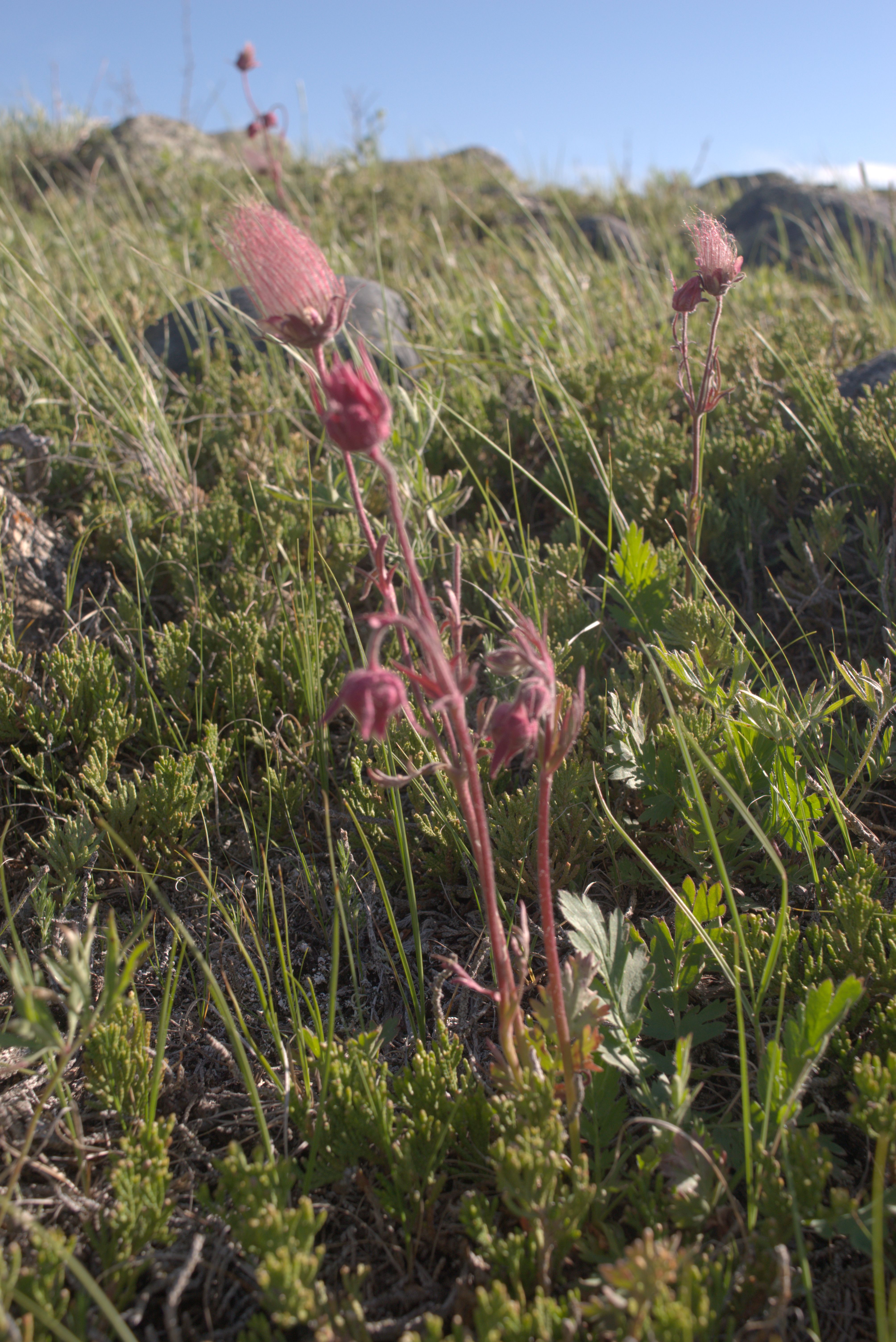
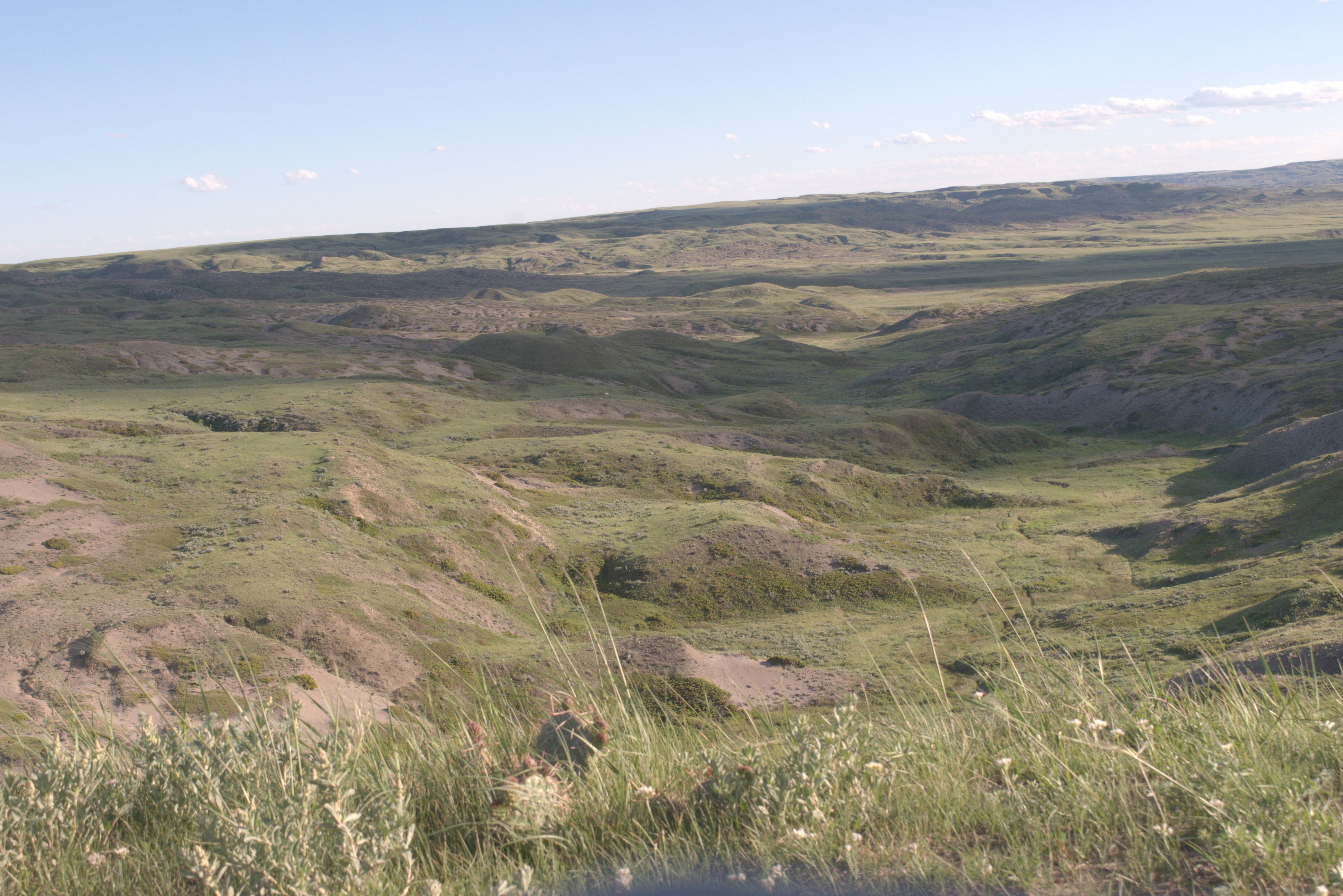
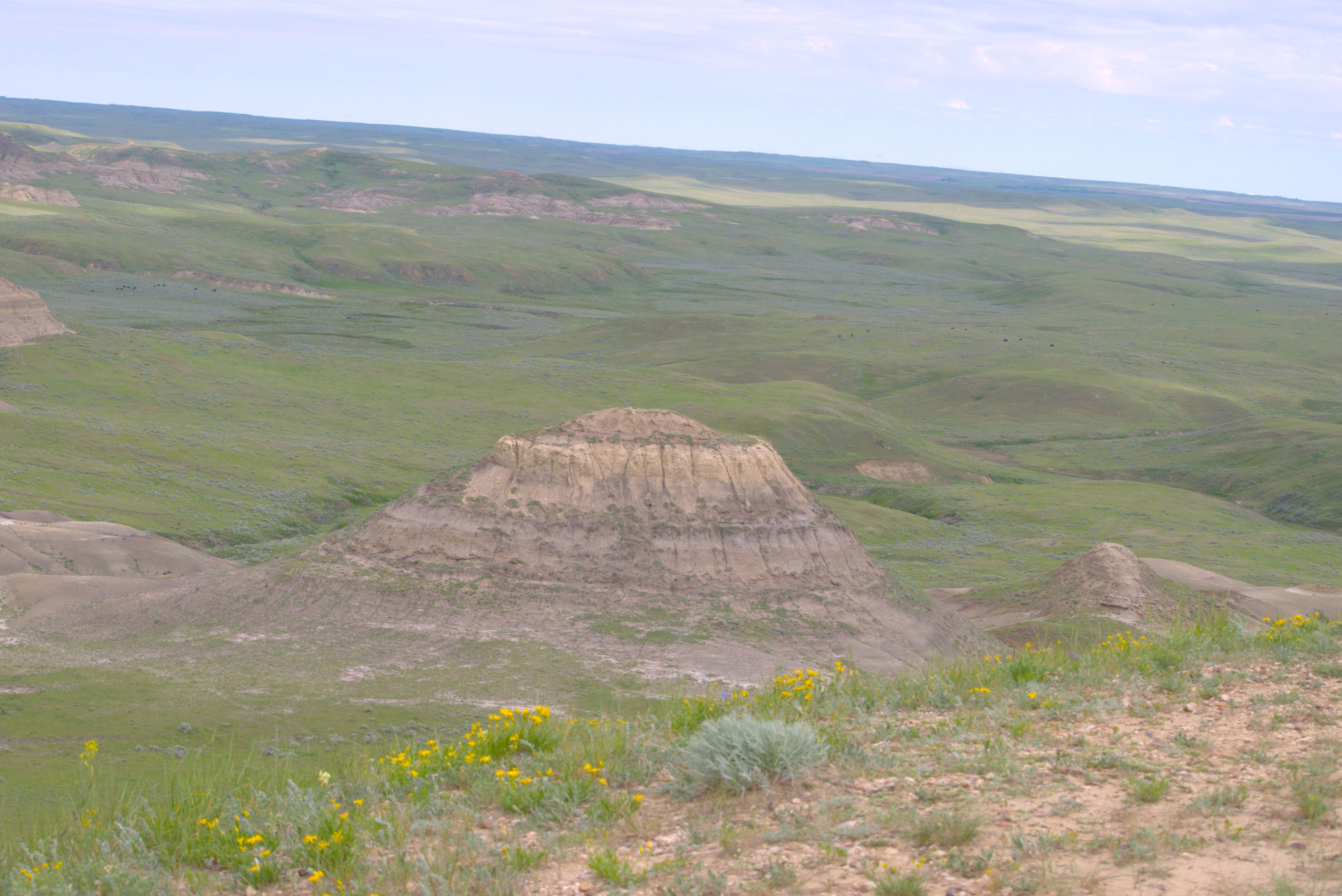
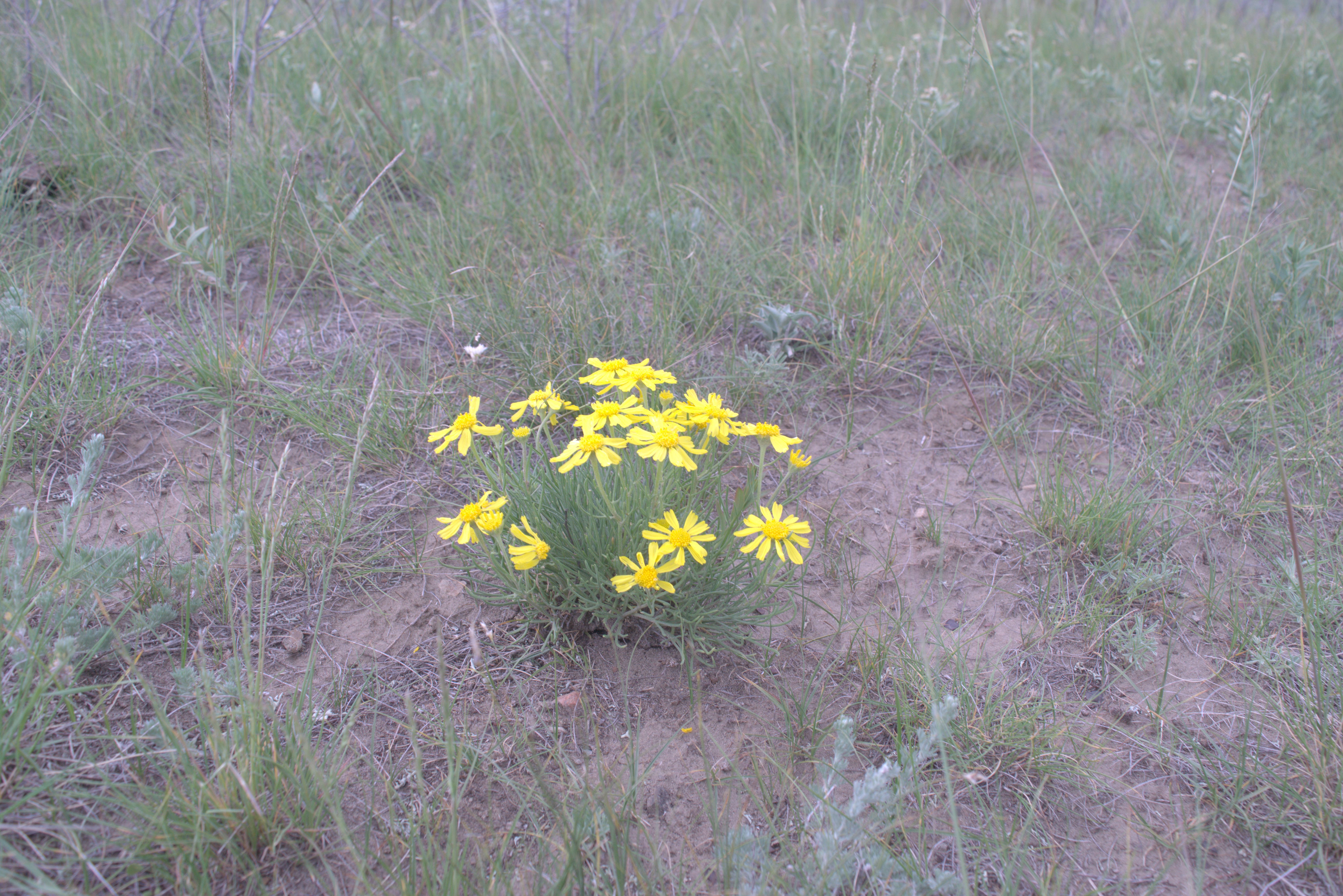
From Buffalo Pond Lake to Saskatoon, arriving on June 14.
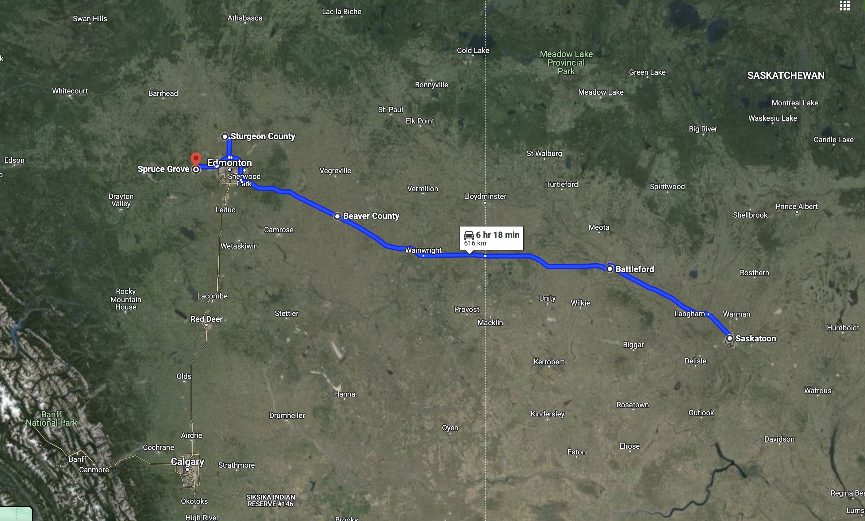
Leaving Saskatoon on June 16, we traveled toward the Catholic Church in Spruce Grove, northwest of Edmonton, arriving on June 17.
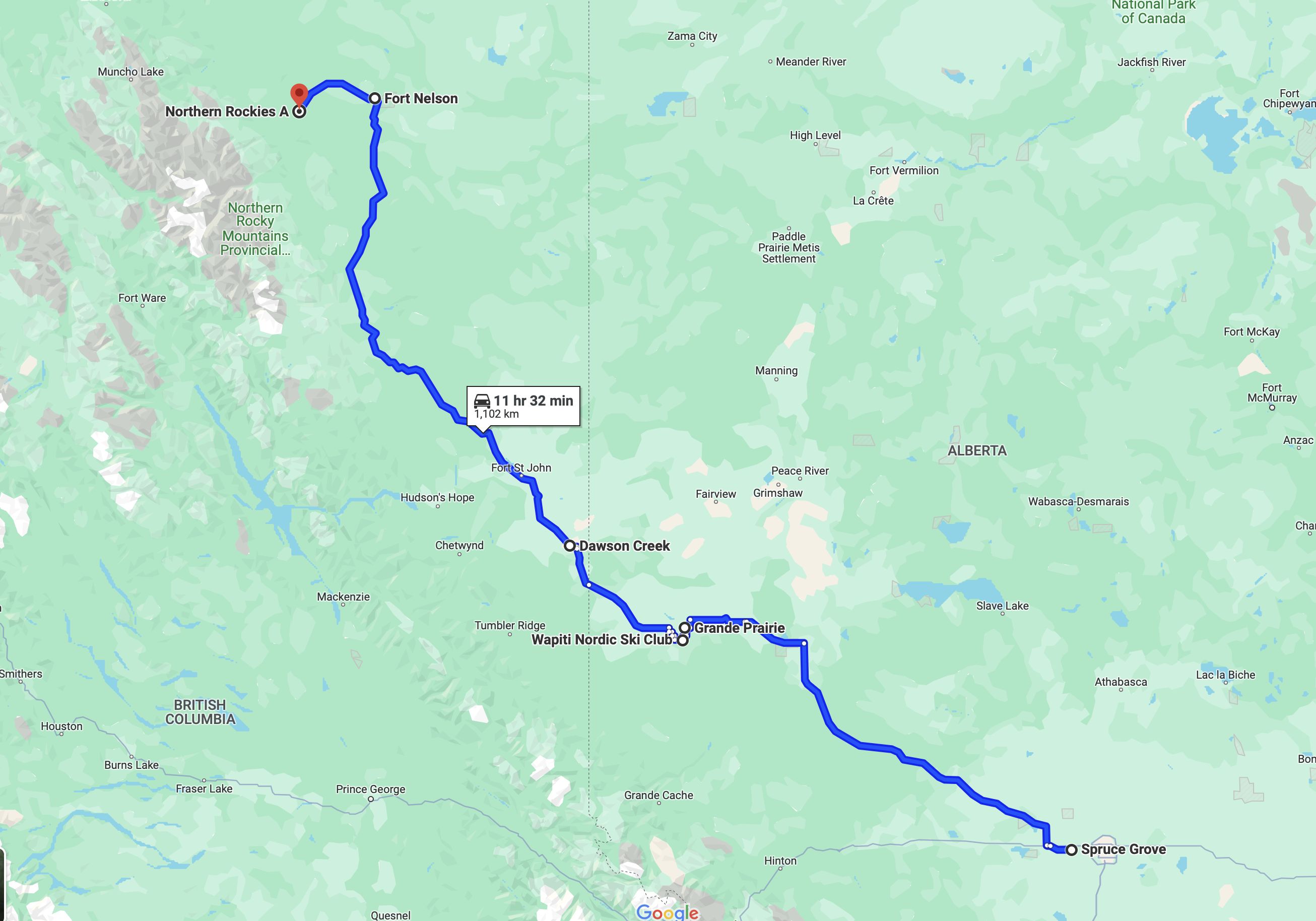
Traveling from Spruce Grove toward Steam Boat, we arrived on June 21.
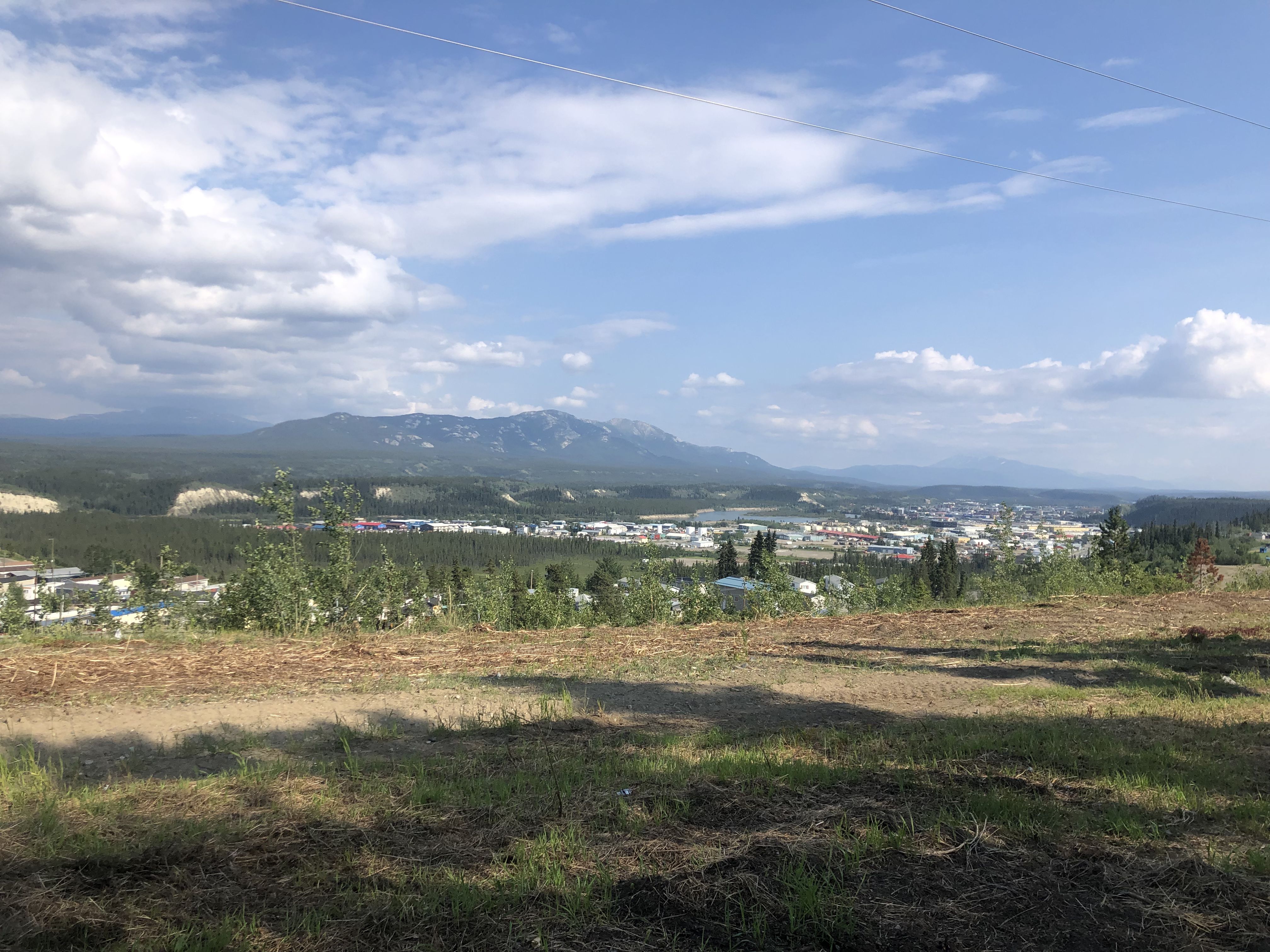
Traveling from Steam Boat toward Whitehorse, we arrived on June 27.
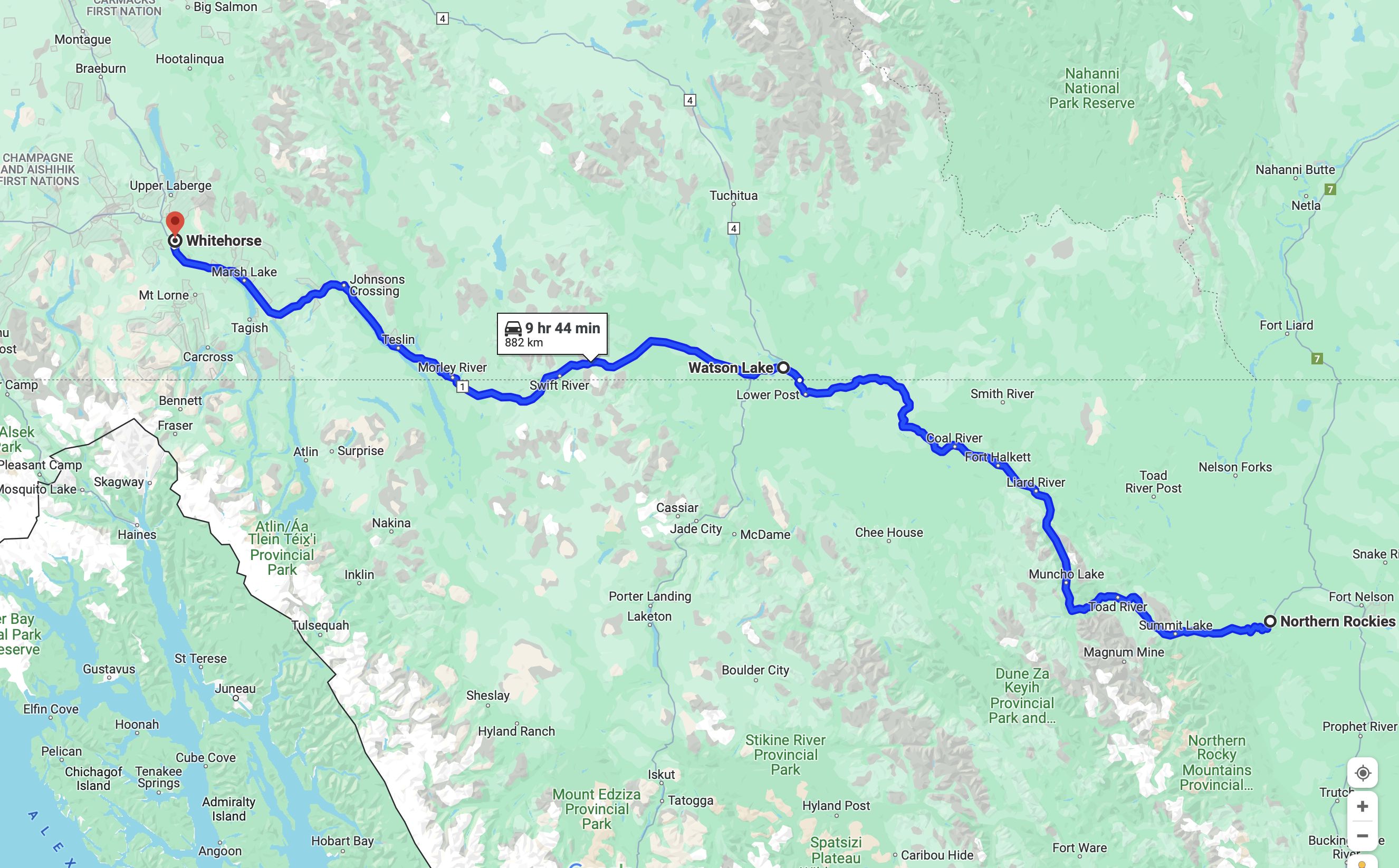
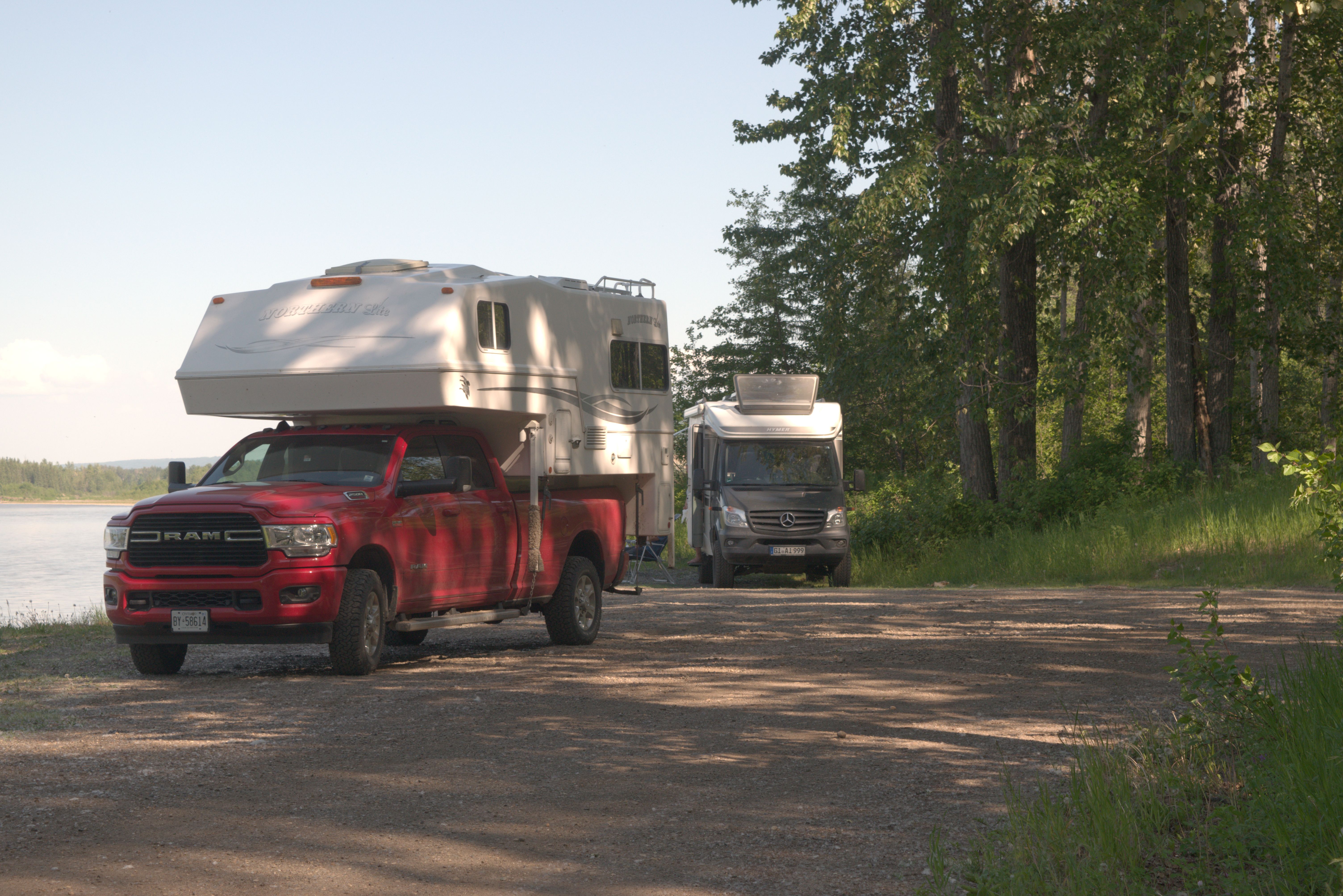
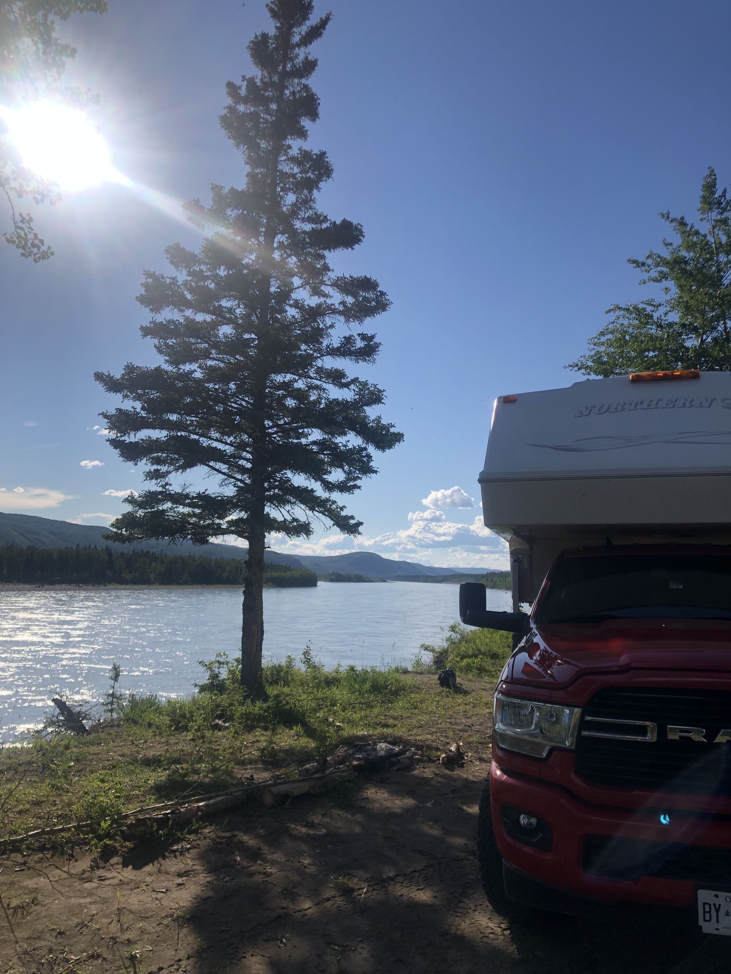
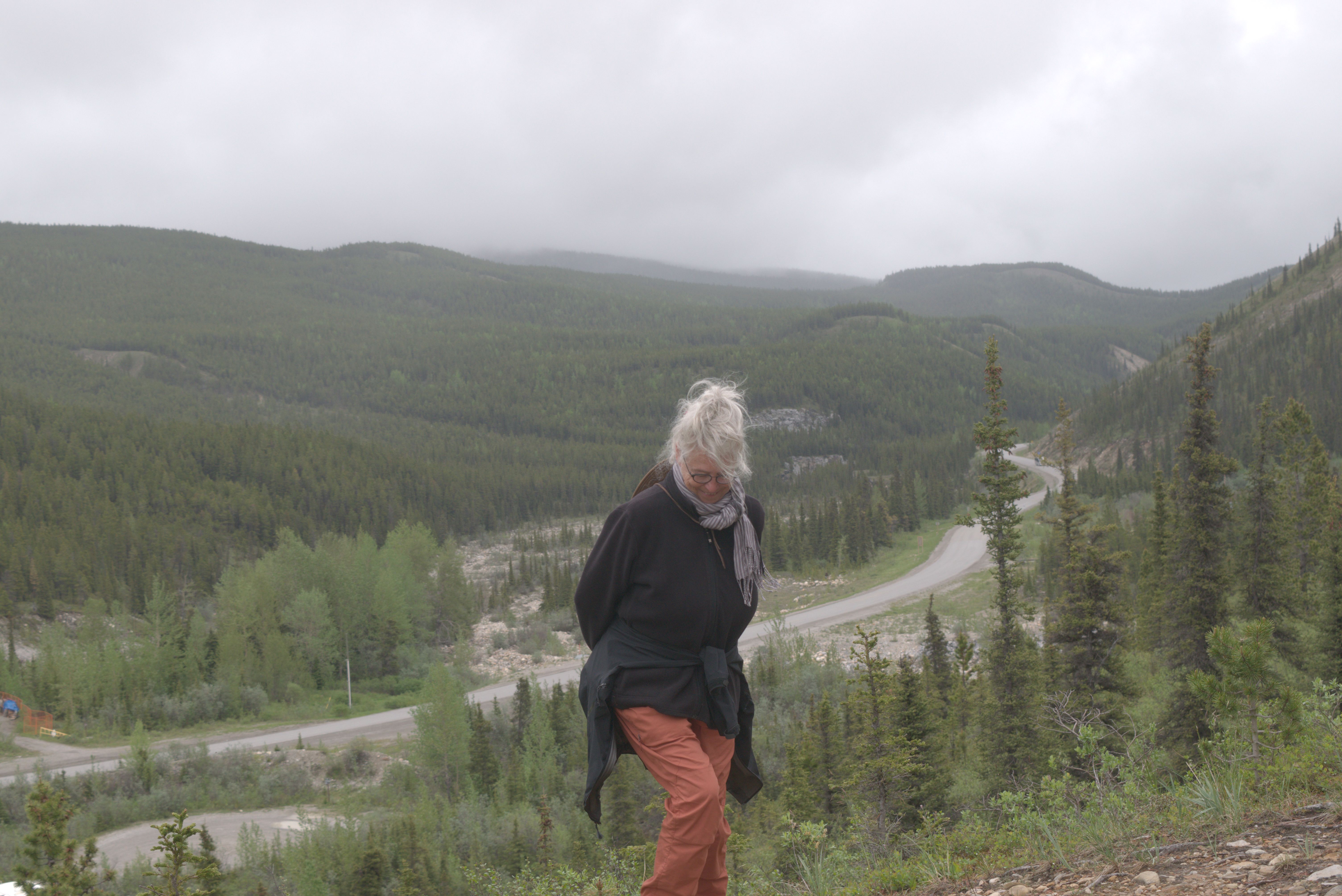
It was incredible to experience the majestic northern rivers in person. We had read about them while planning our canoe trips on the Peace River and Albany River. Oh, what we would have given for the current—minus the cascades of the Liard—while paddling downstream on the lazy Peace River.
We encountered a surprising number of camper vans from Germany and Switzerland. Their owners had shipped their vehicles from Hamburg to Halifax to tour Canada and the USA.
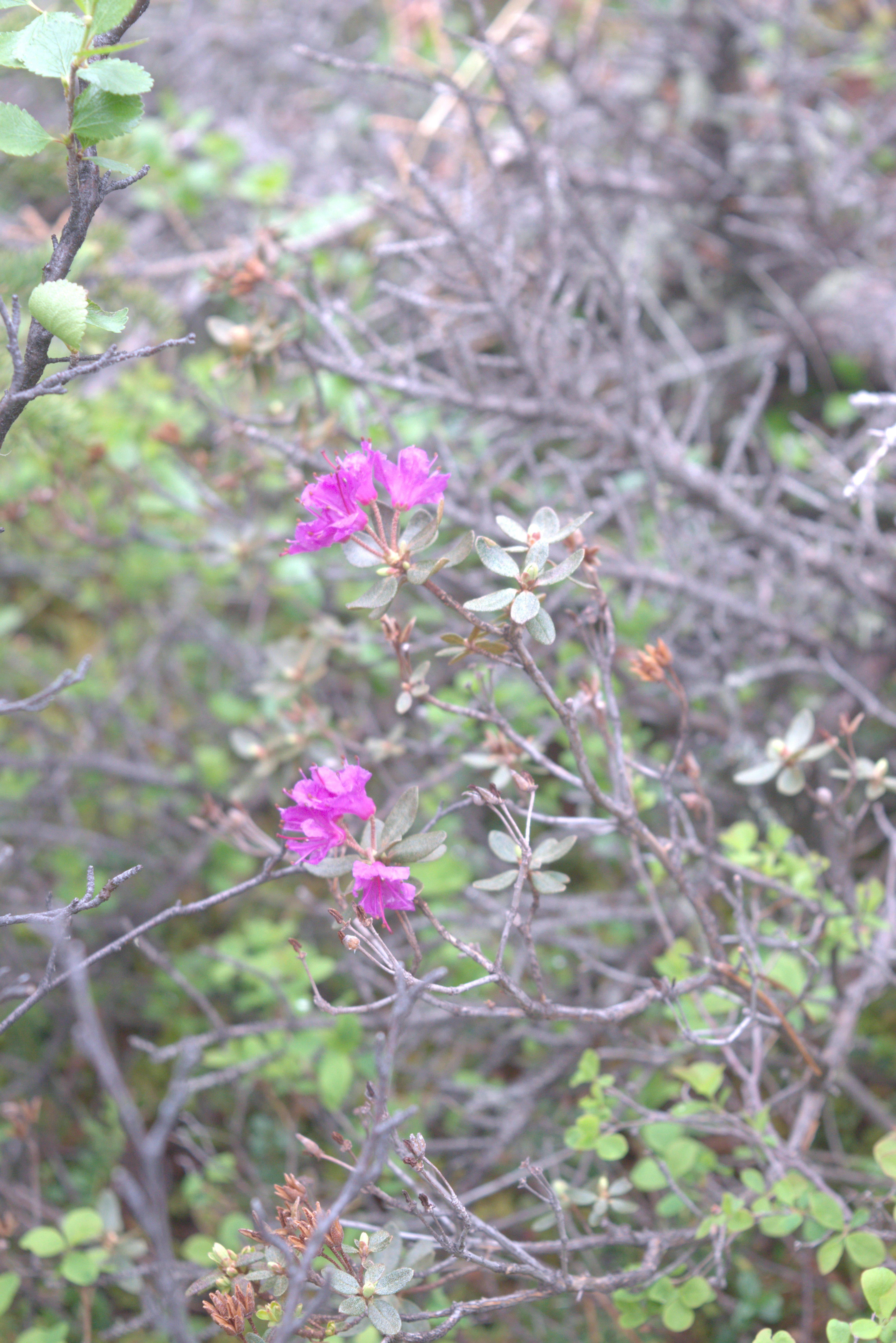
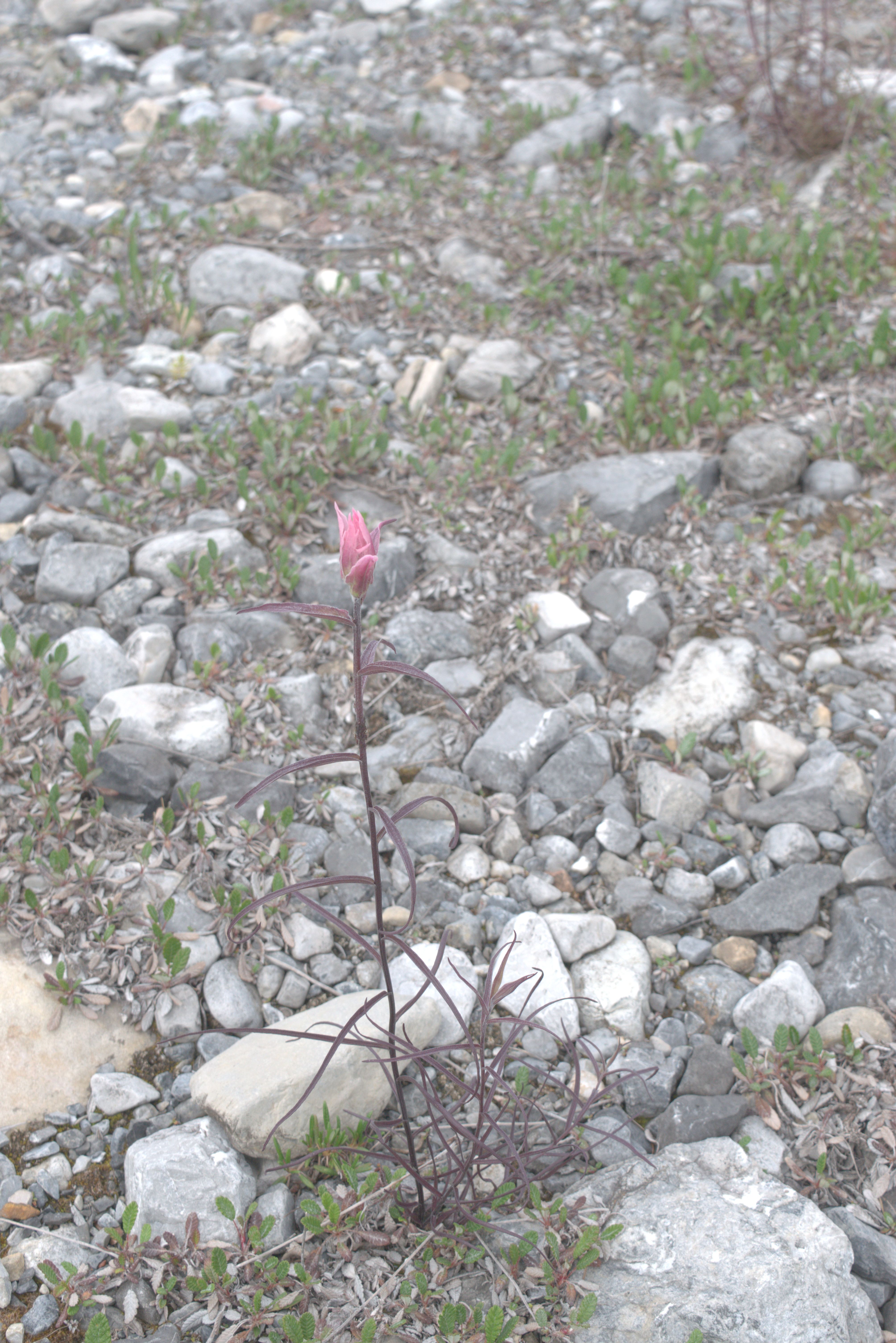
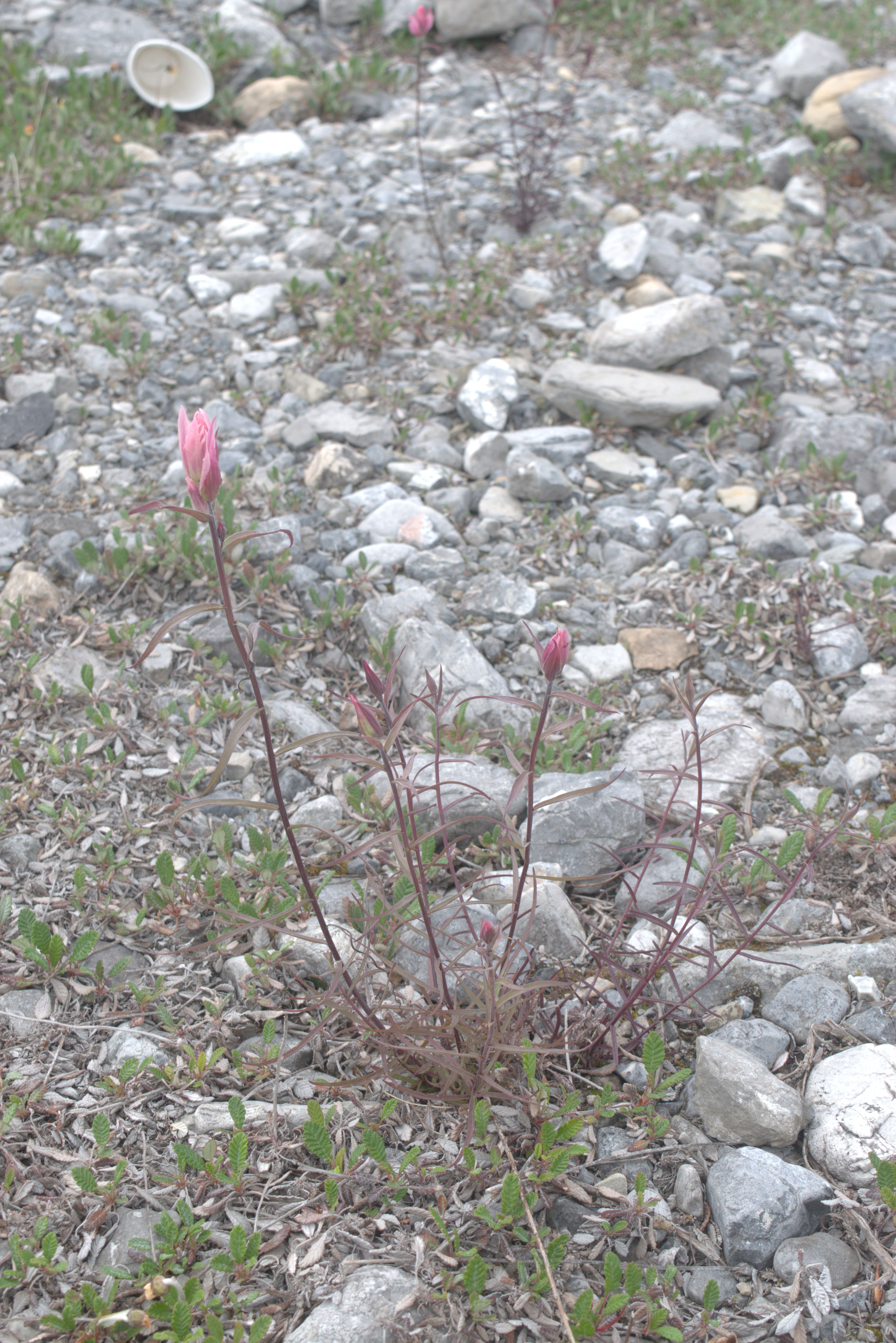
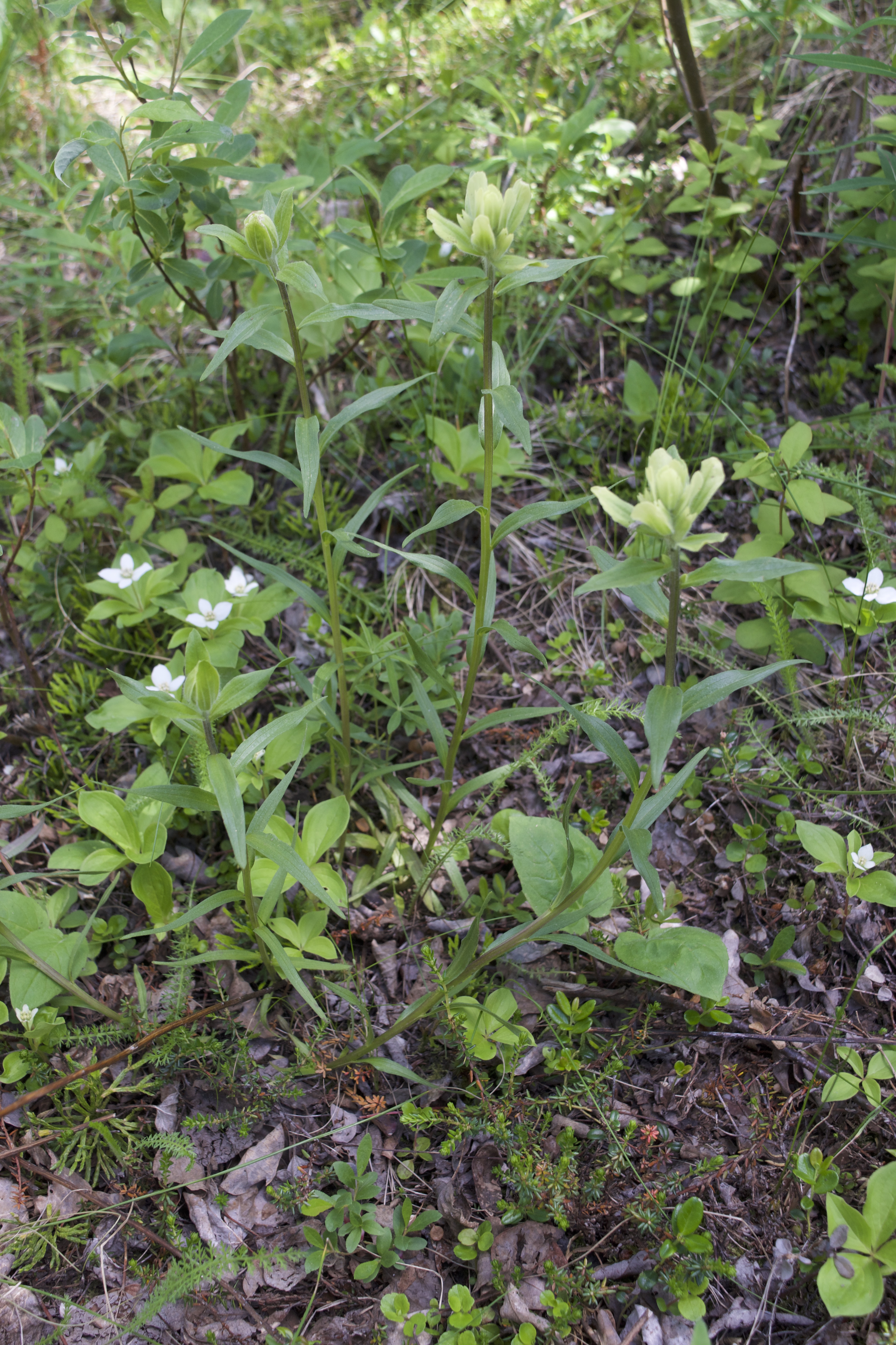
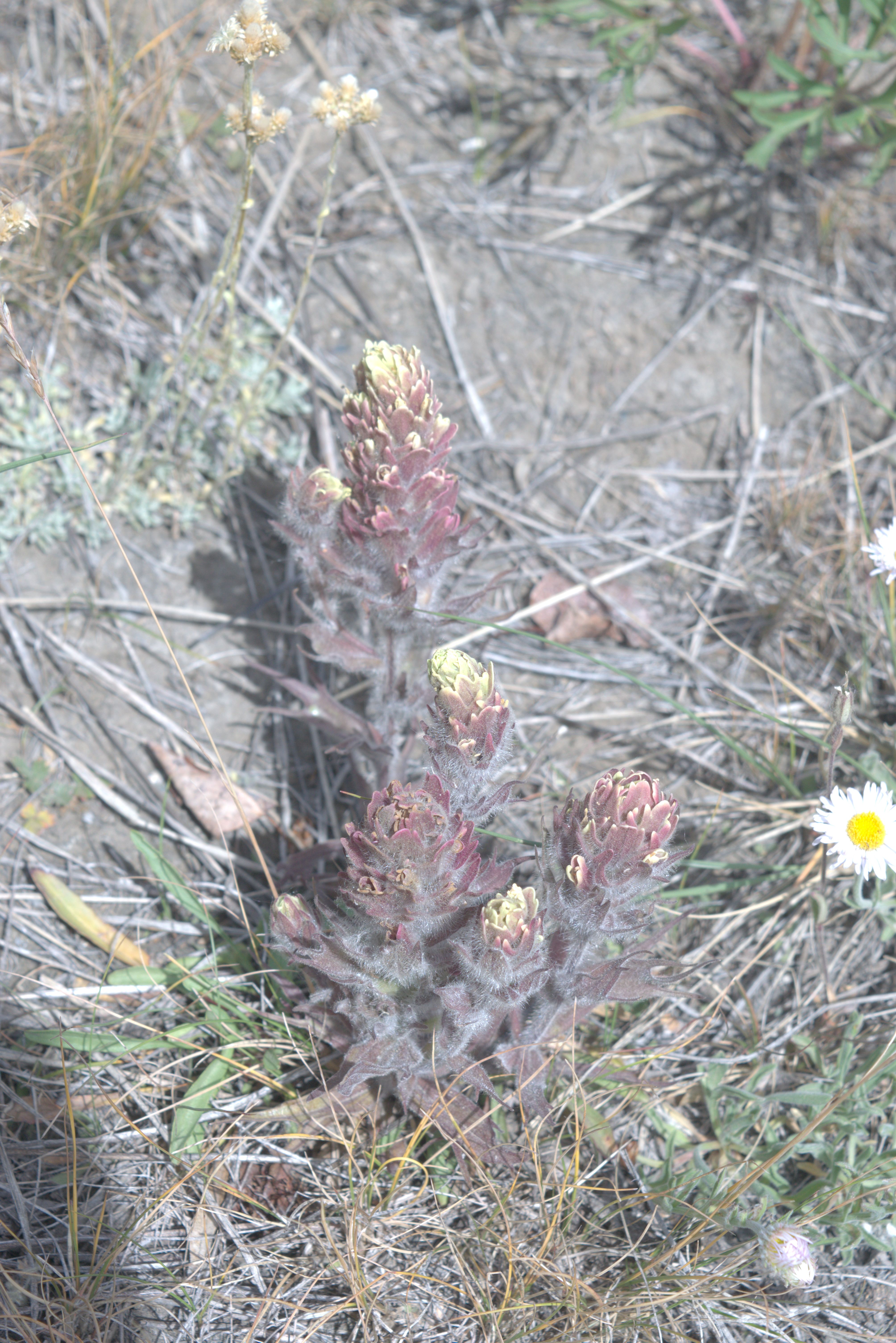
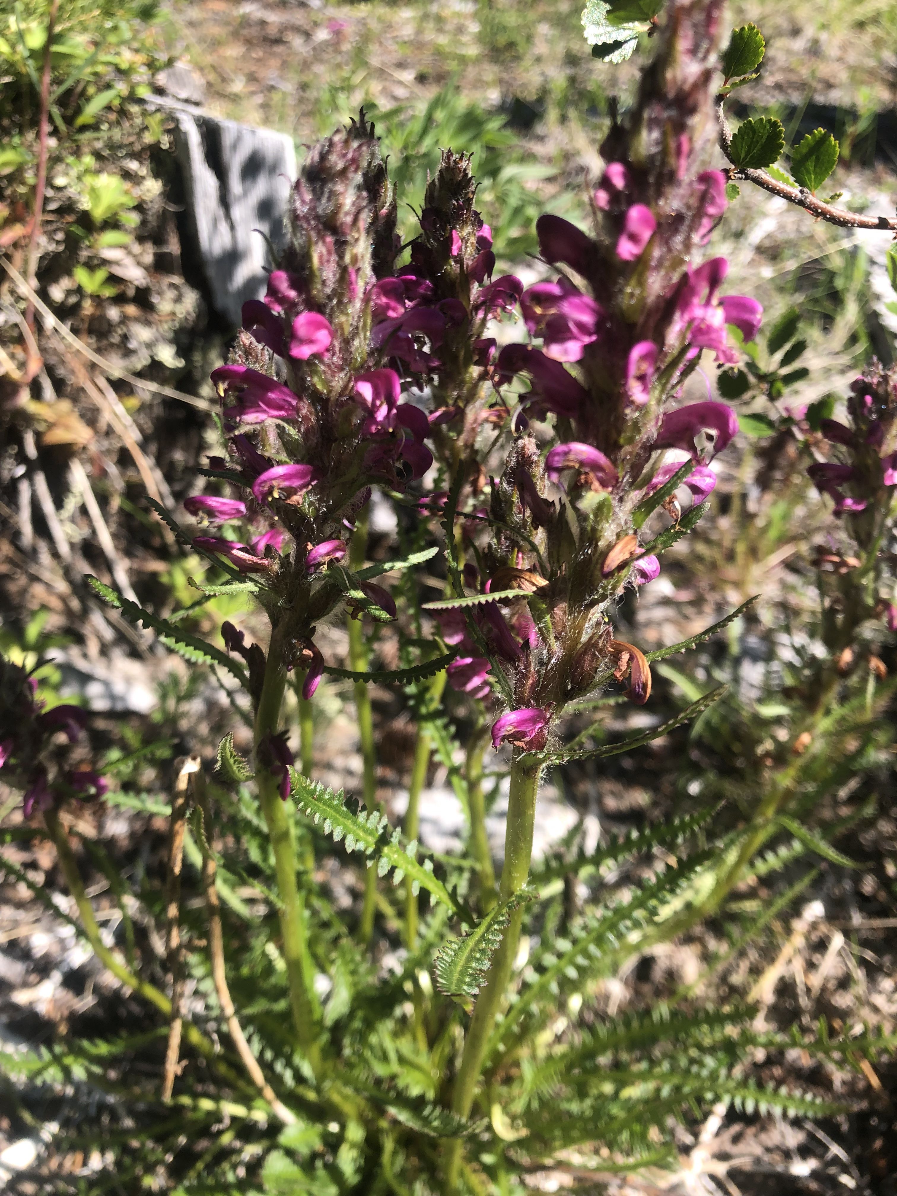
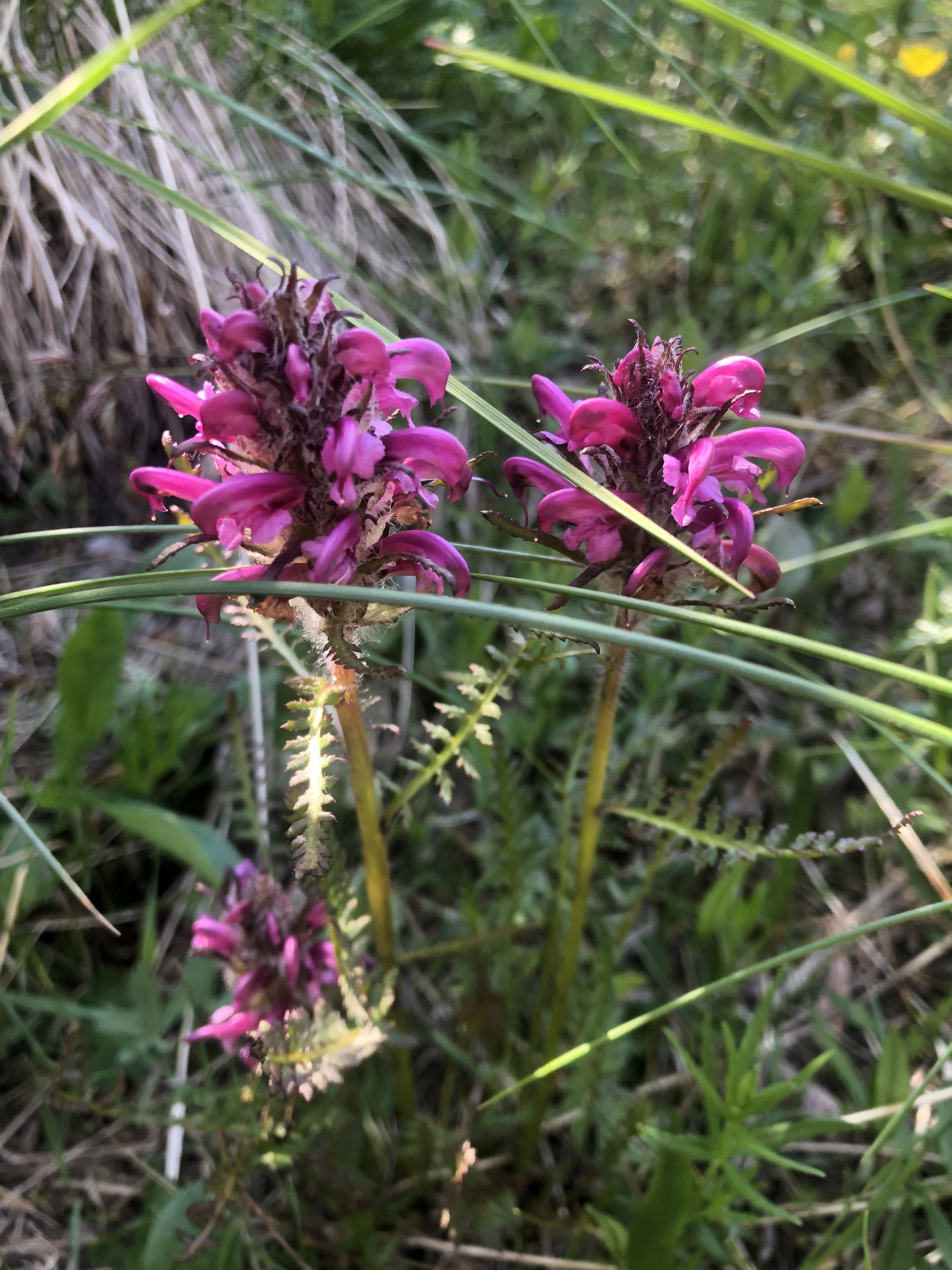
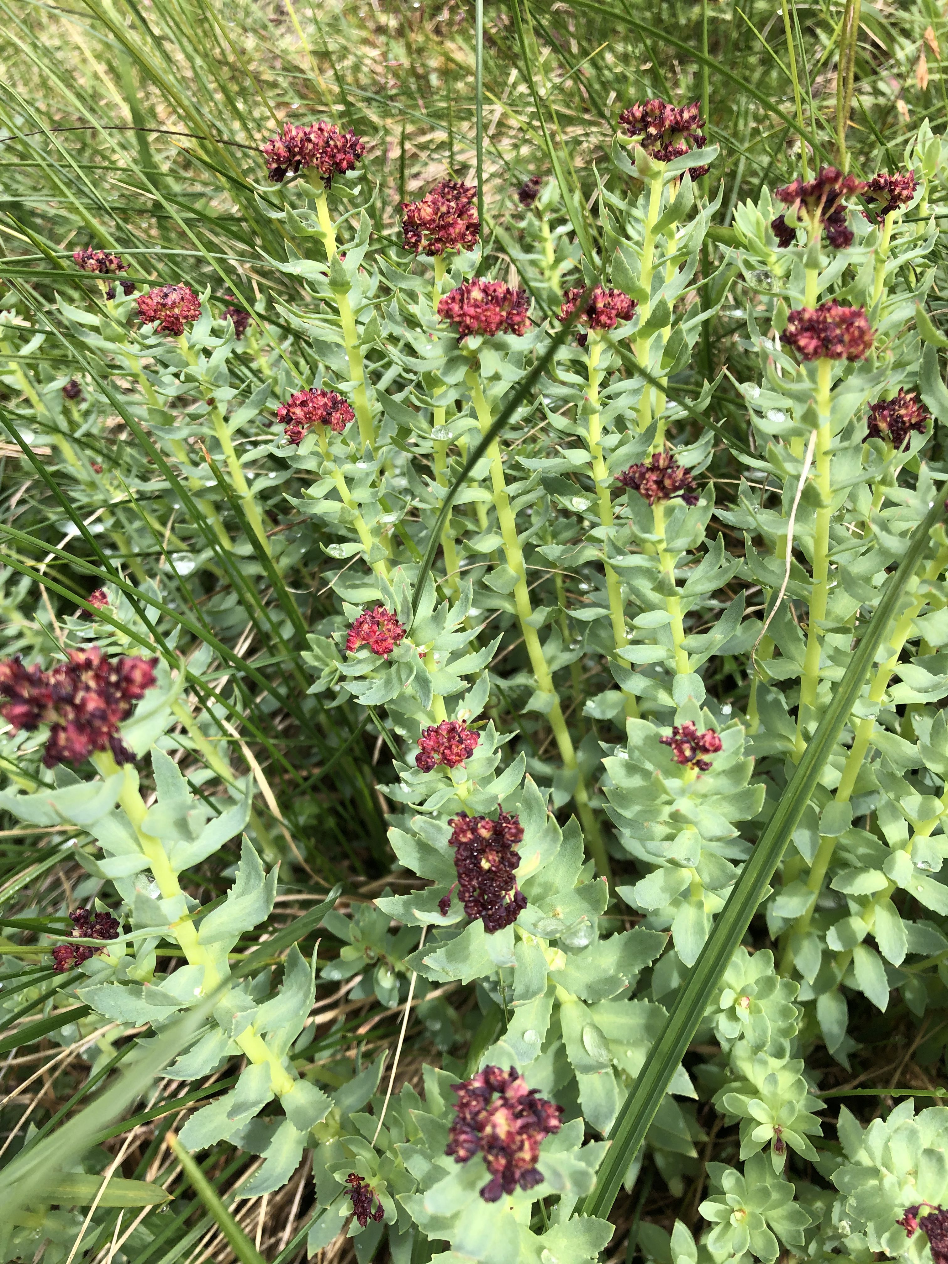
Raup’s Paintbrush
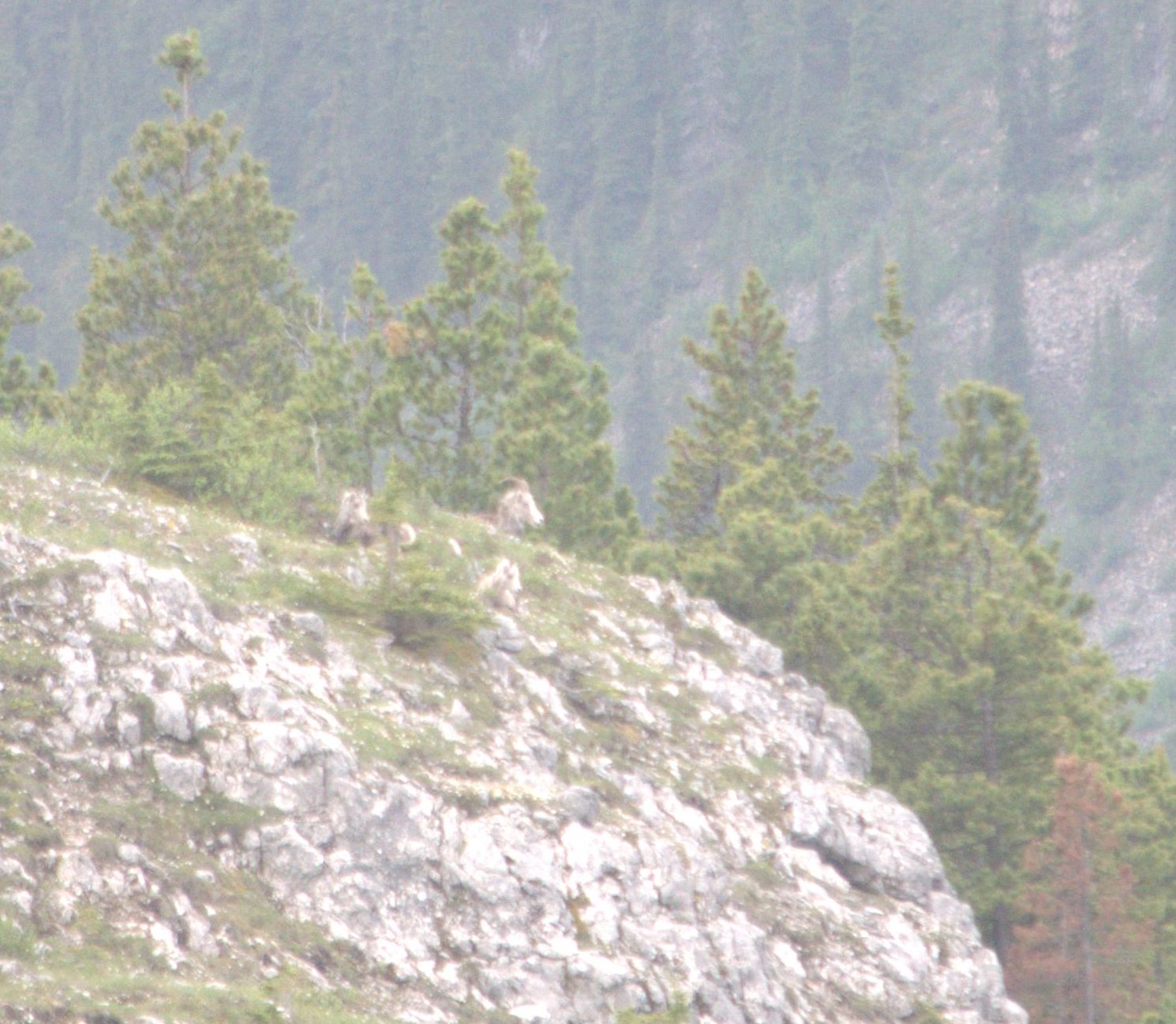
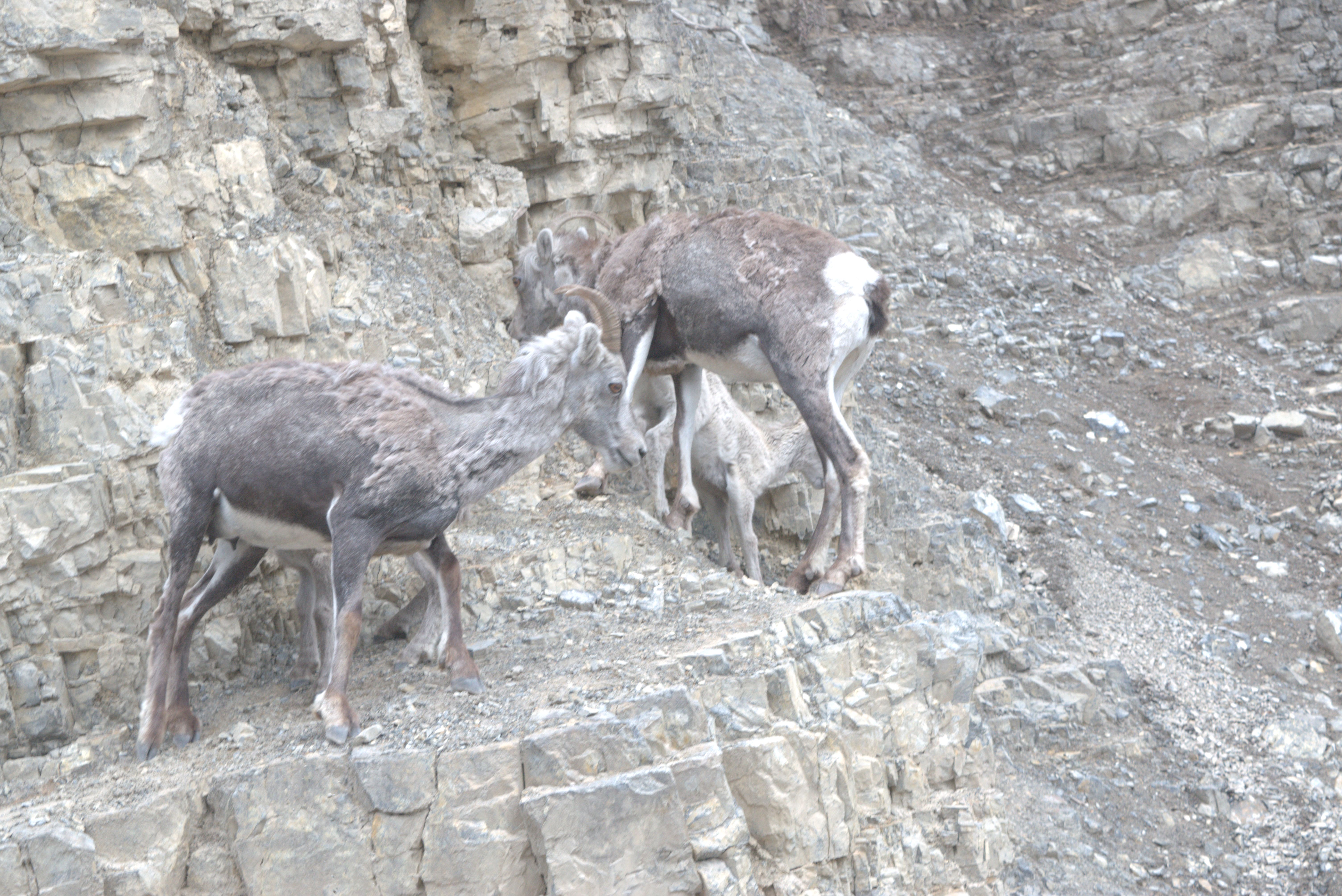
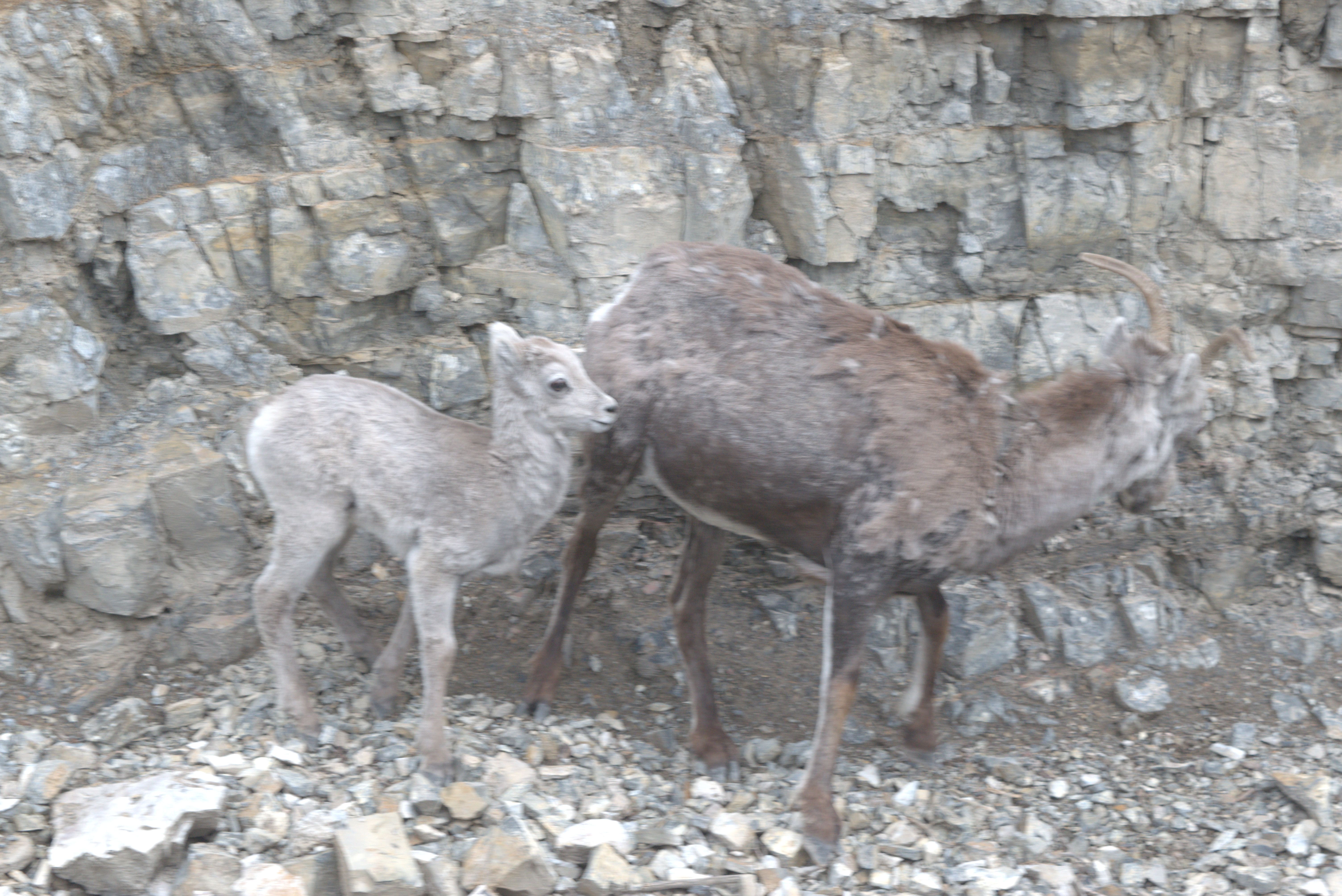
Stone Sheep—surprisingly, they can move despite their name!
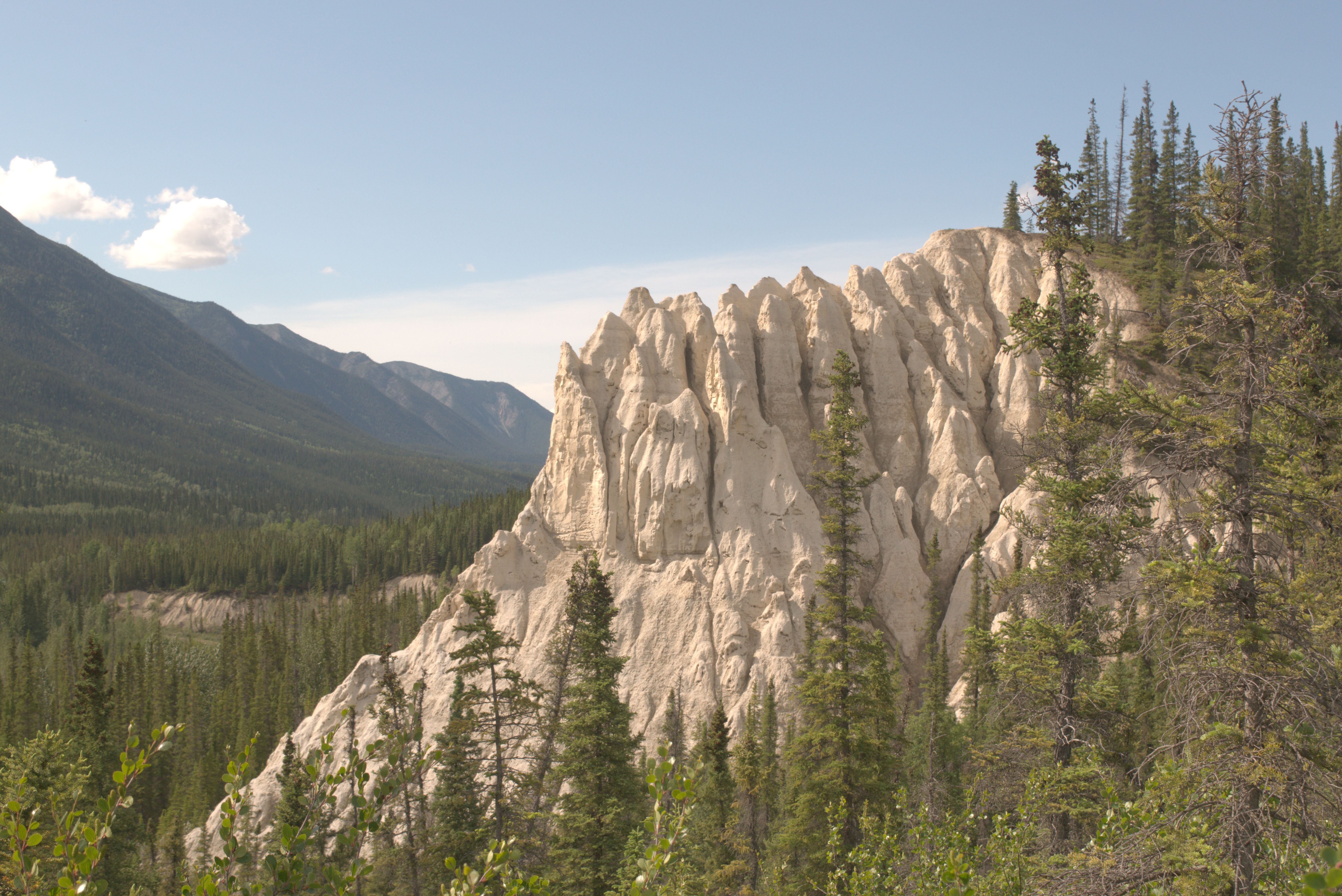
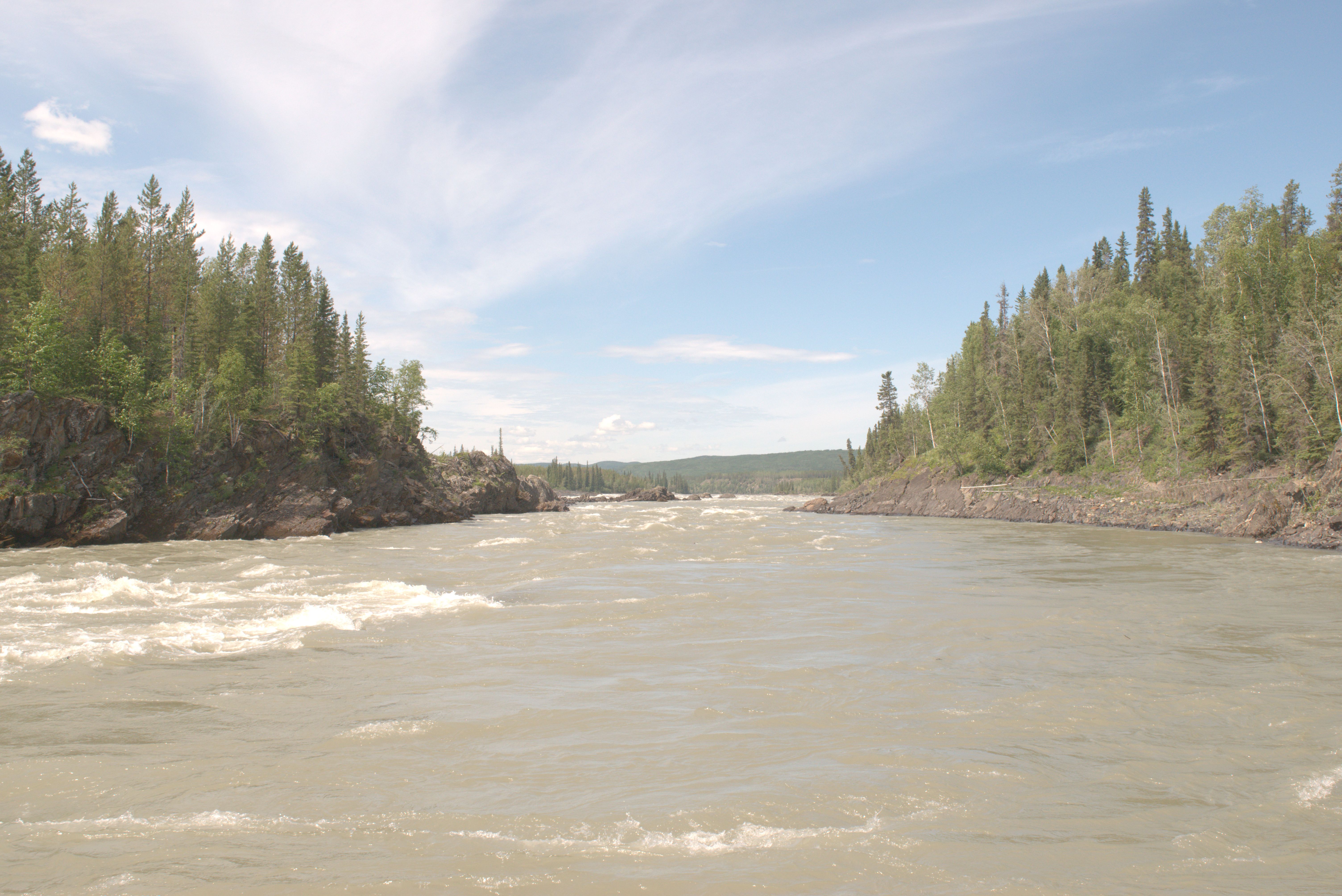
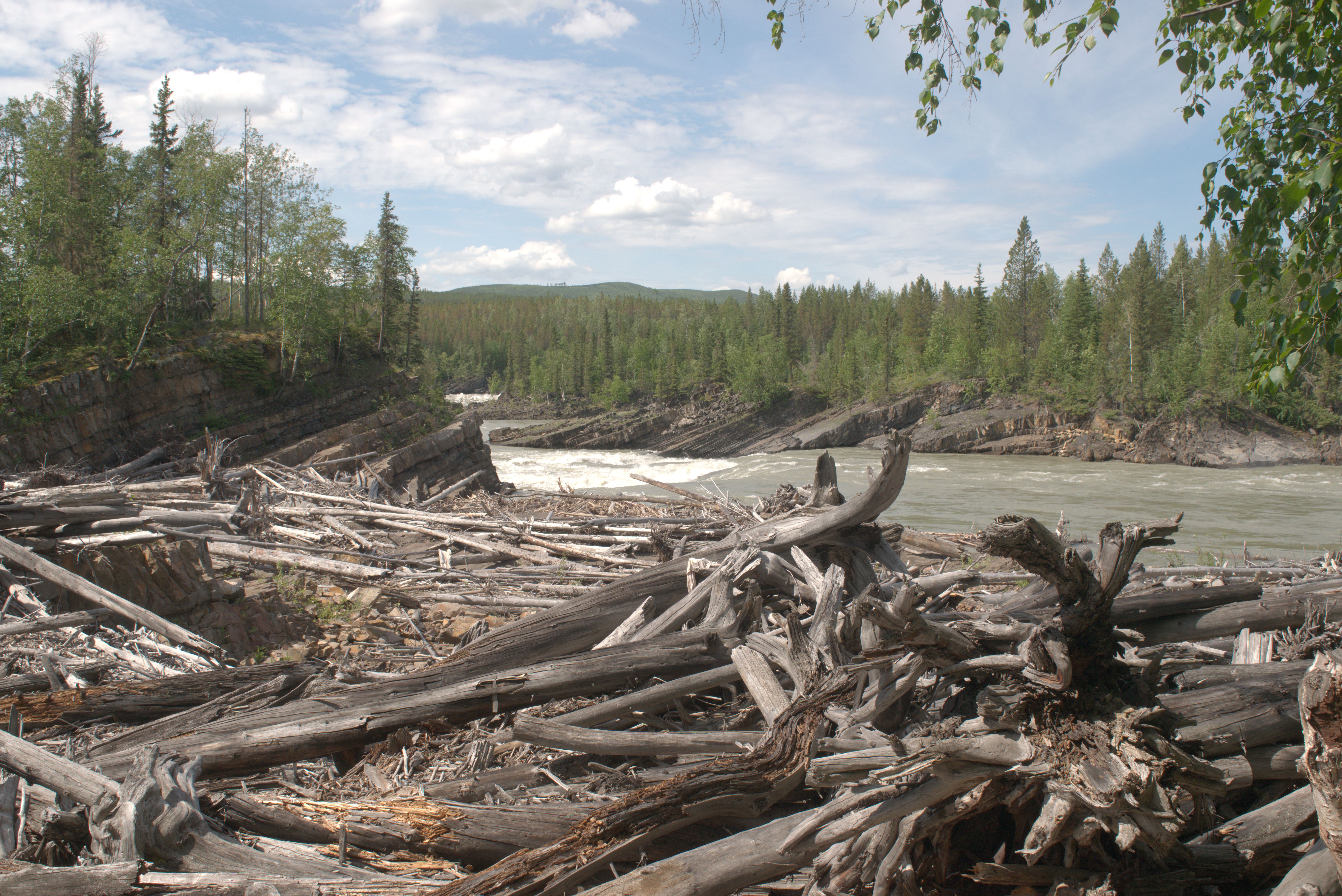
The Liard River flows through a canyon, making its way around a bend.
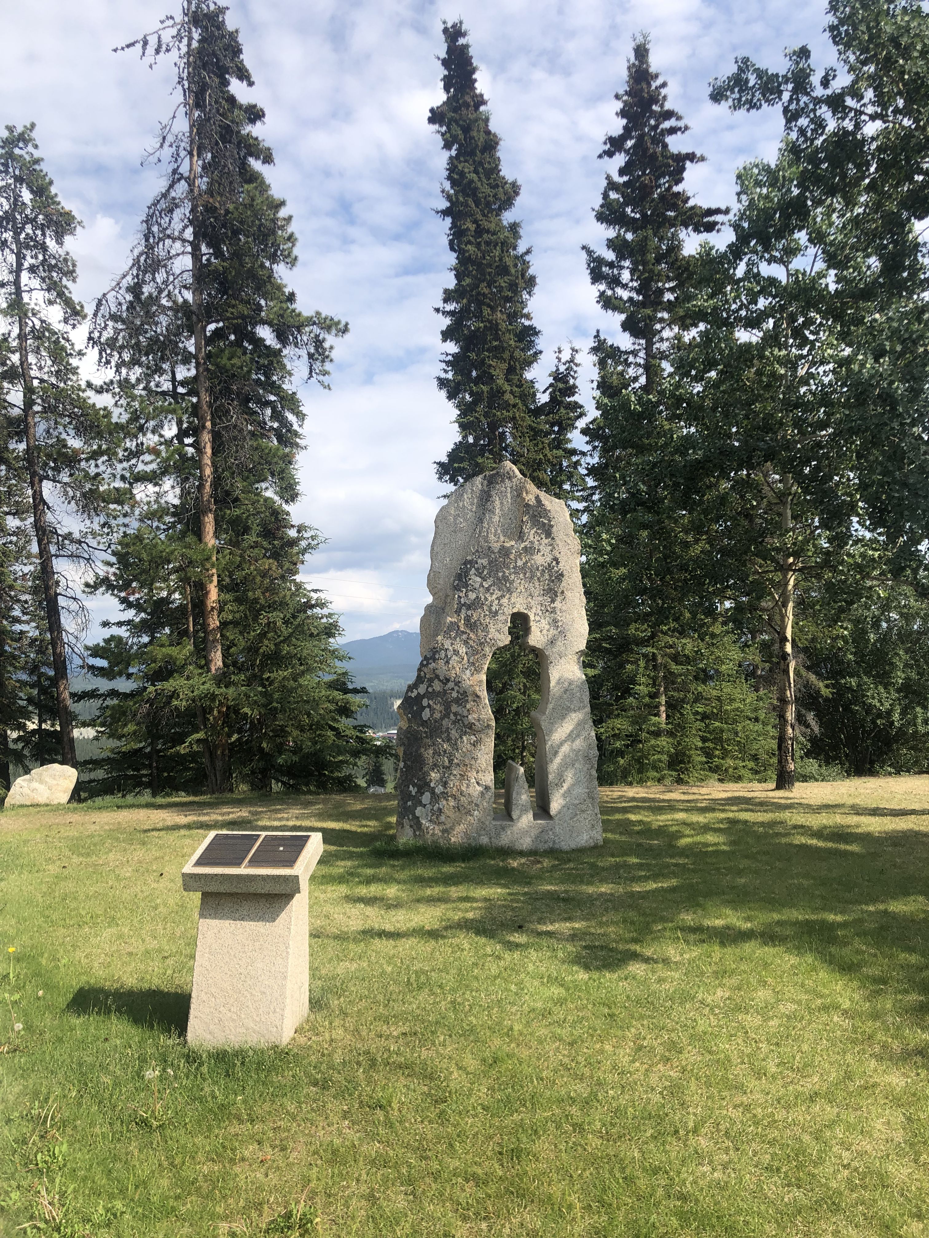
A human form cut out of rock, inspired by the shadows left by people on the walls in Hiroshima.
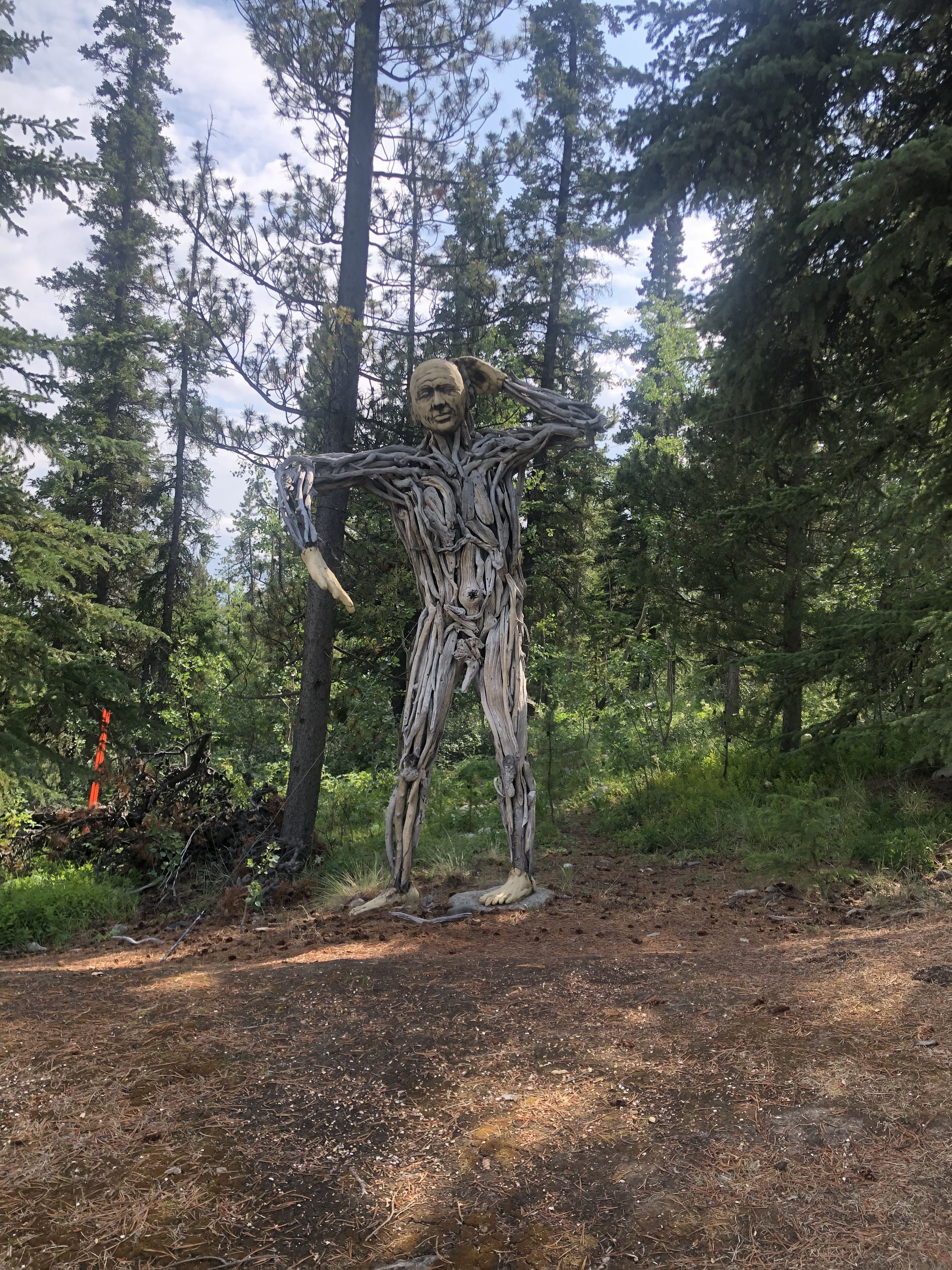
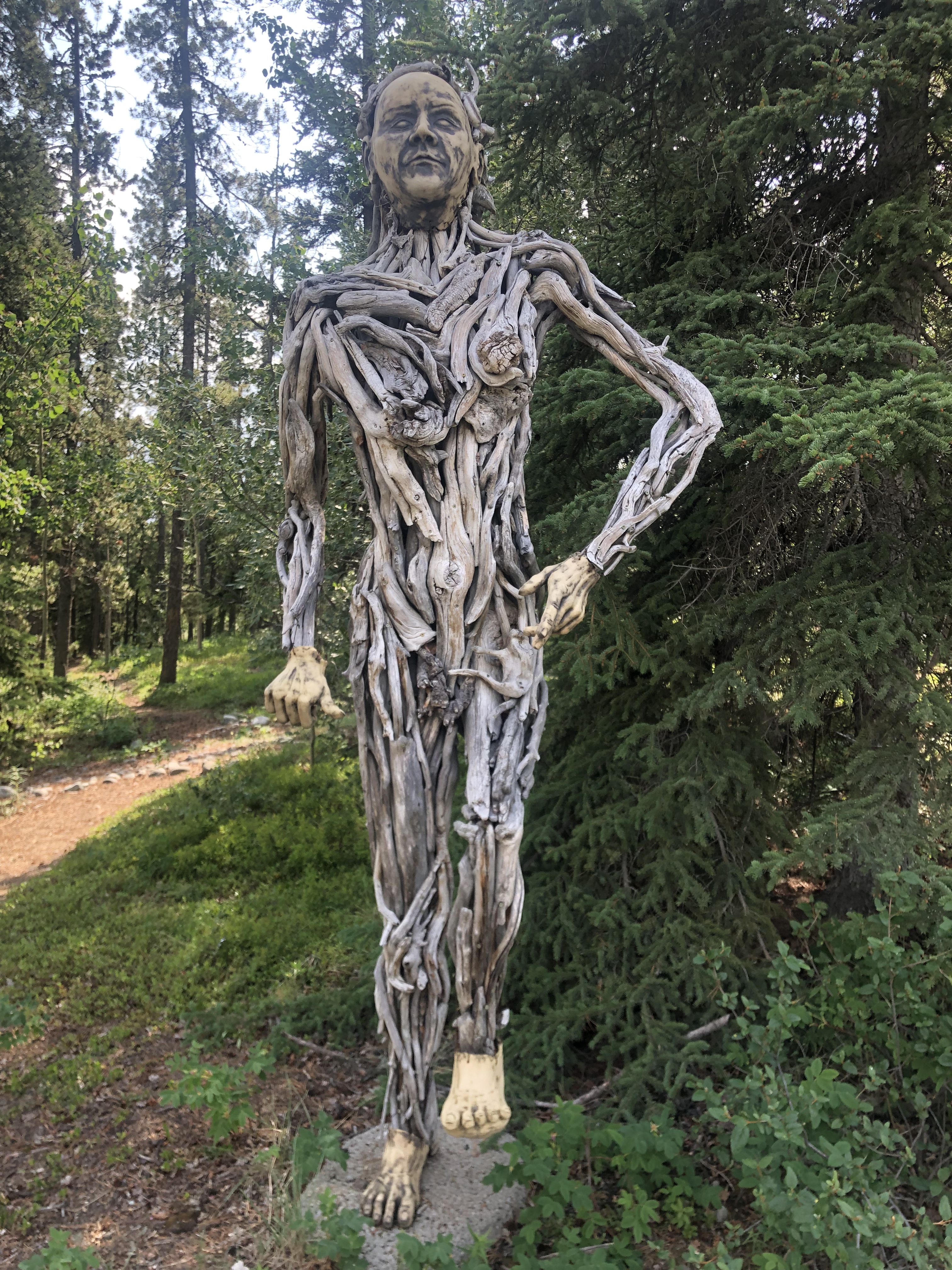
Human Forest by Suzanne Paleczny.
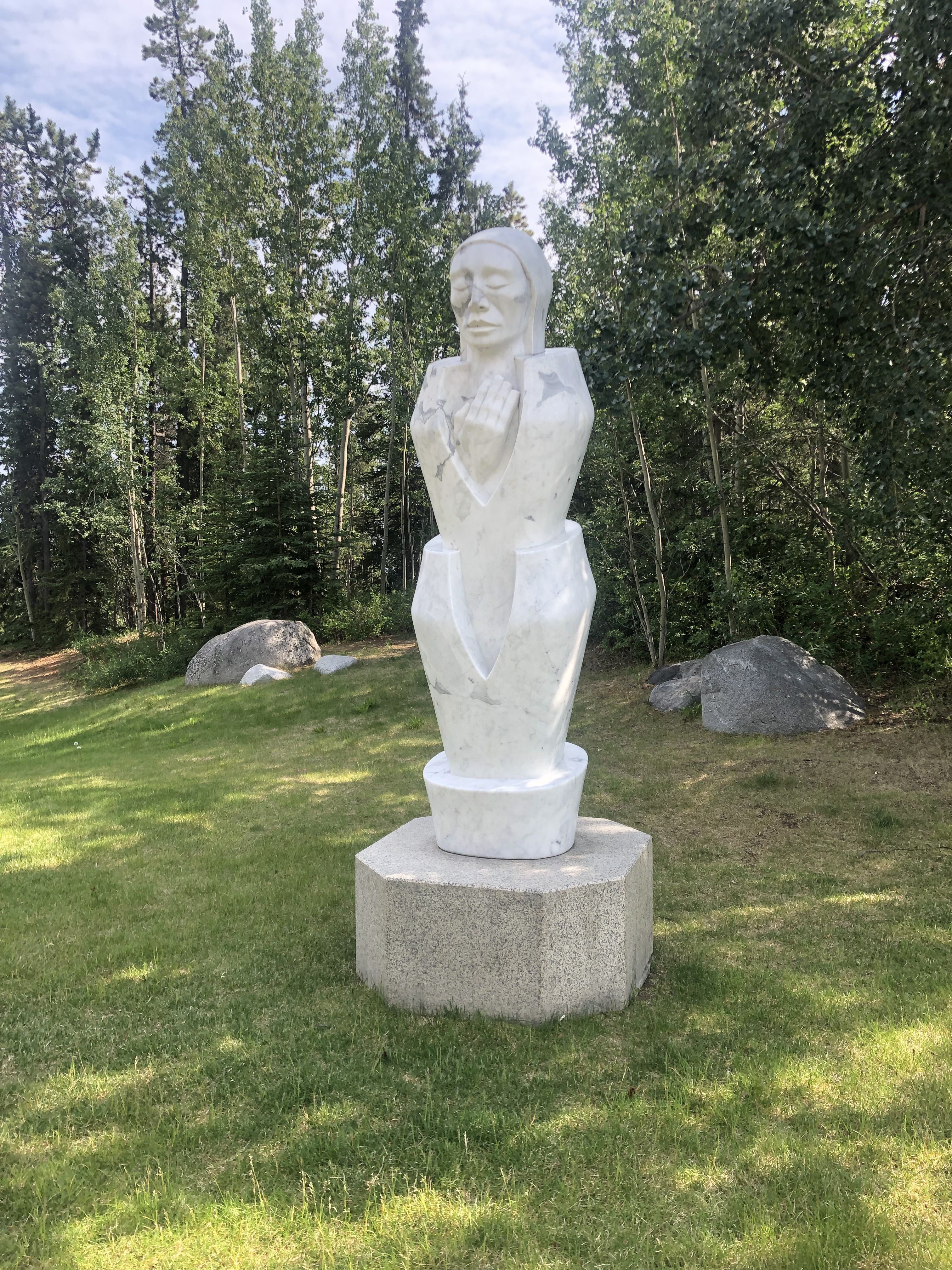
A person evolving from a flower-bud-like form, created by Béla Simó, who was born in the Transylvanian Mountains.
Traveling from Whitehorse to Haines Junction and Kluane National Park.
We are leaving Whitehorse on July 4.
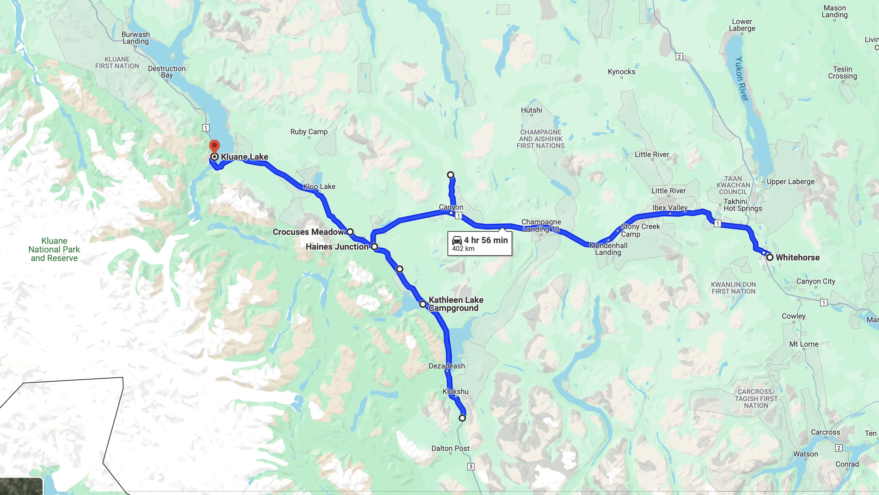
The lower boundary of the map above is near the border between Yukon and British Columbia.
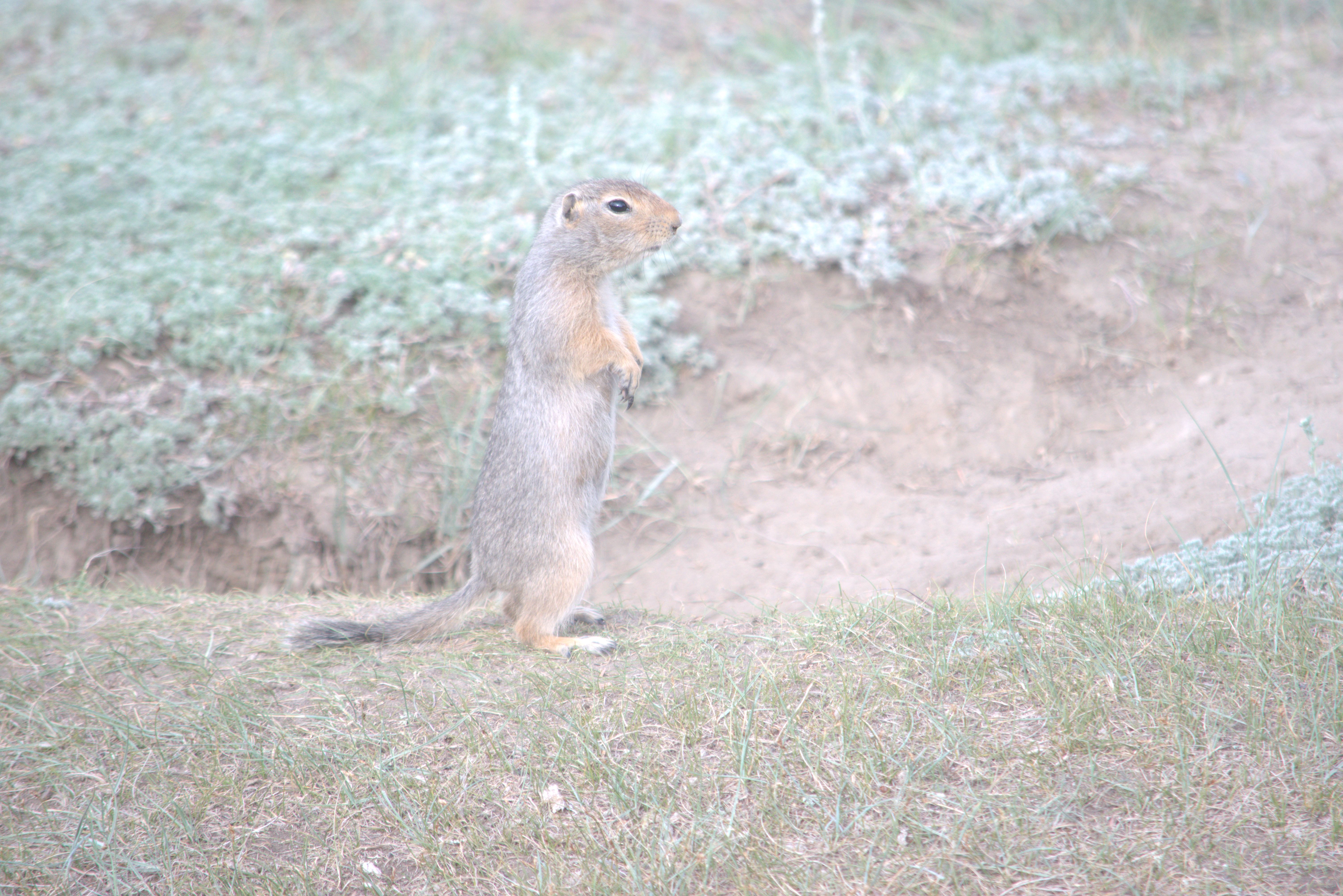
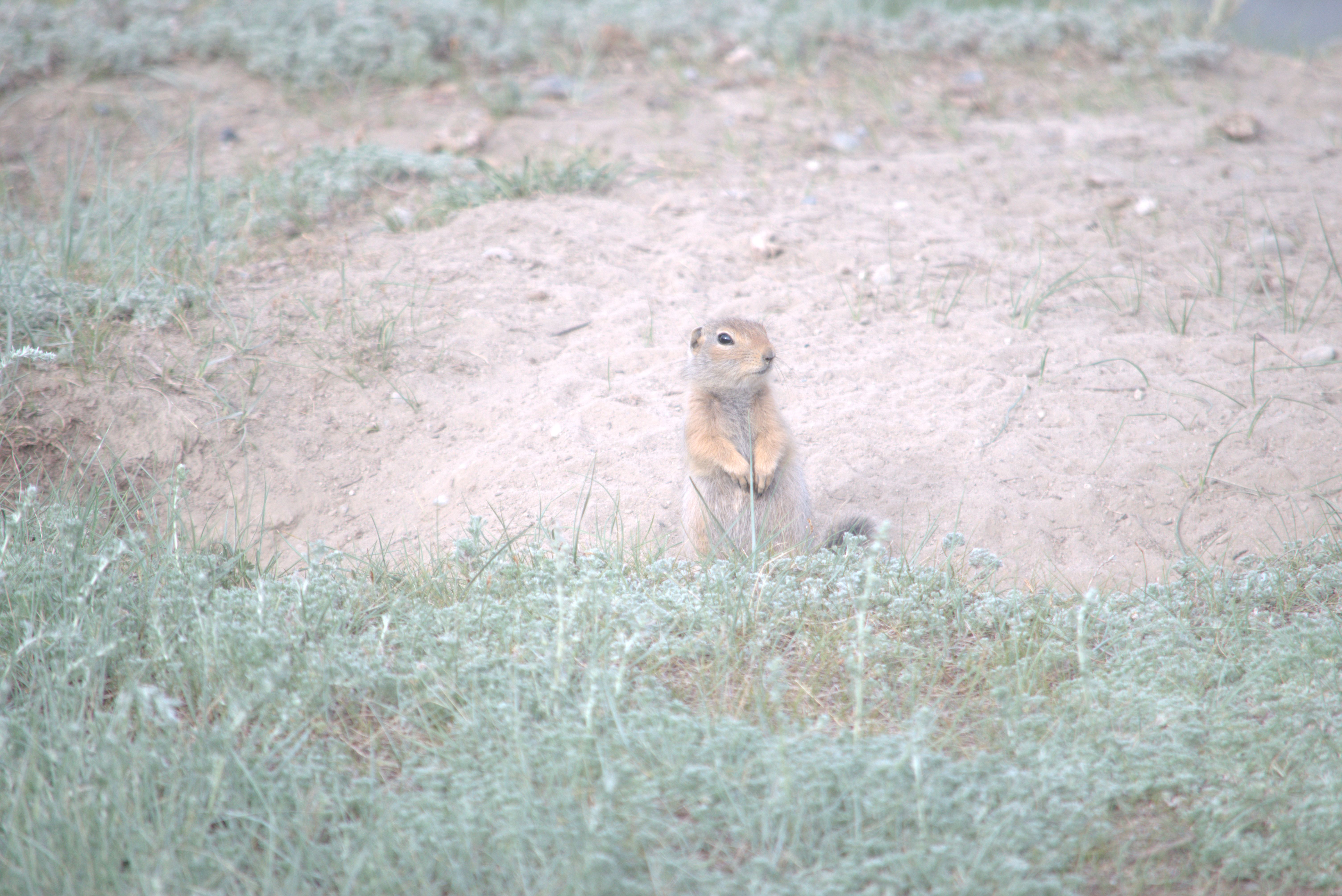
Friendly neighbors, (e.g., prairie dogs) as long as you don’t get stuck in their vast underground burrows.
We explored Haines Junction. The Visitor Information Center for Kluane National Park has wonderful displays and is very informative. It is located right beside the First Nations Administrative Building. Stretching our legs on a hike along the Dezadeash River near Haines Junction.
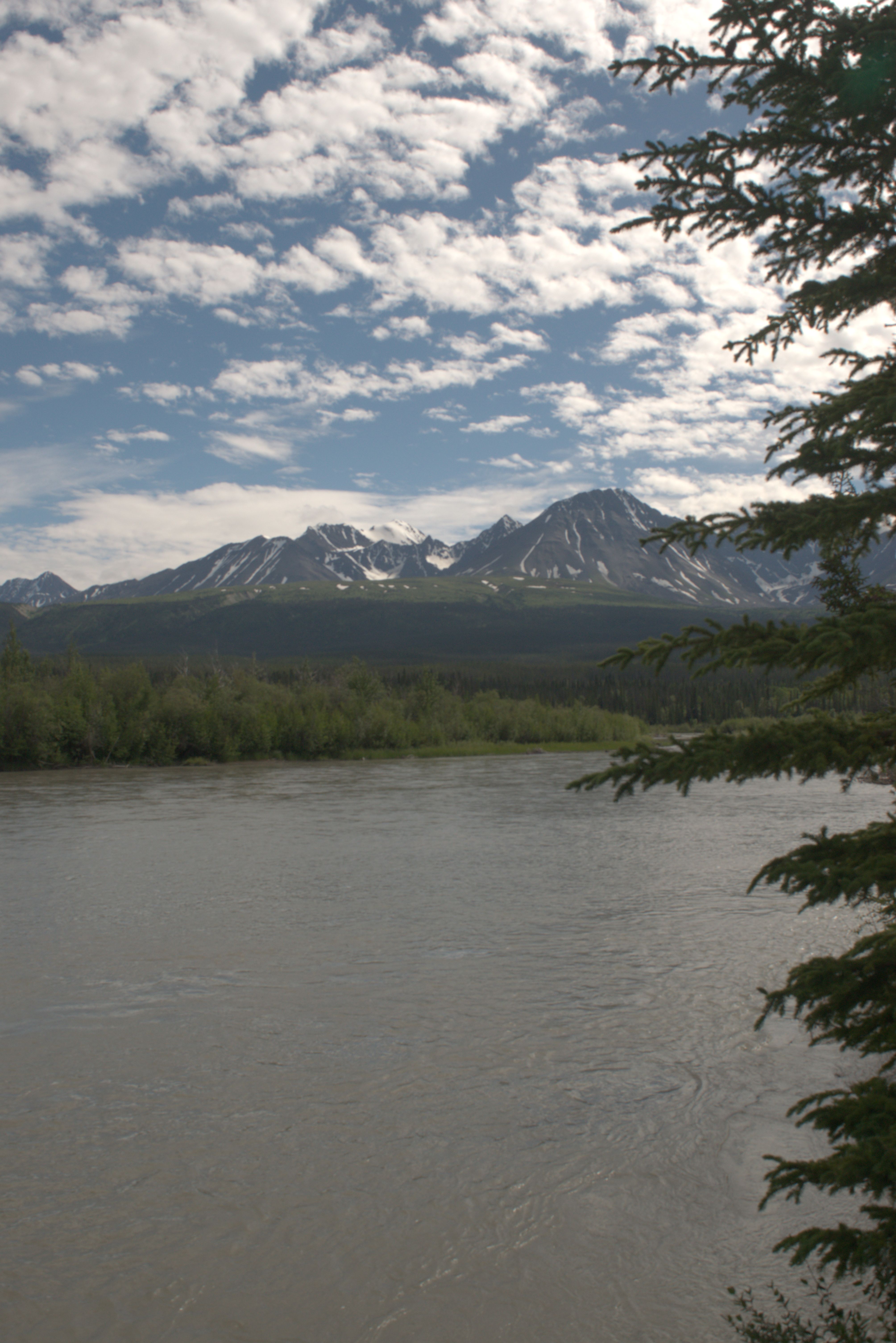
A view over the Dezadeash River, with the Kluane Range in the background.
We are camping overnight beside the Kathleen River, off the Haines Road, on the way to King’s Throne.
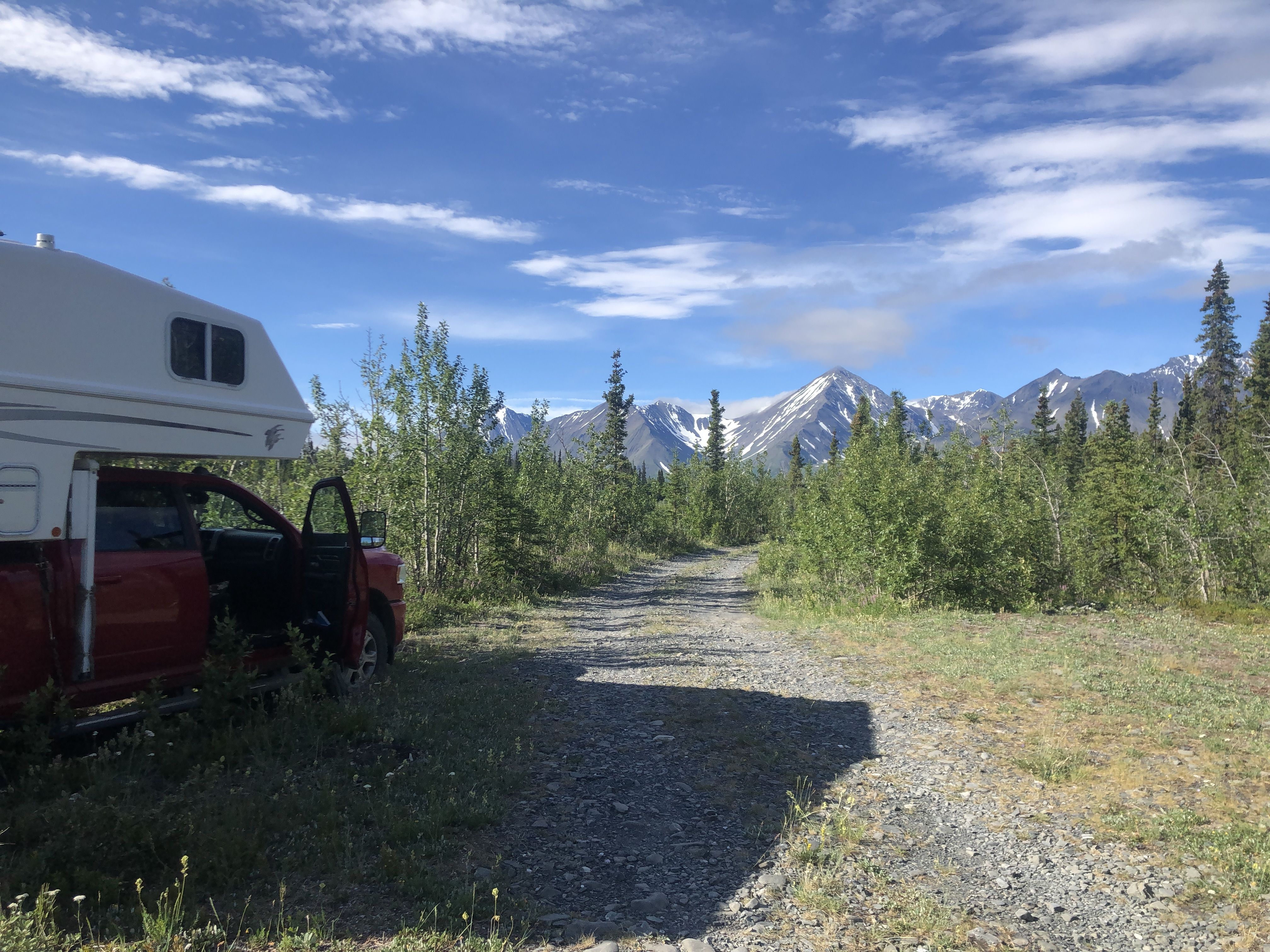
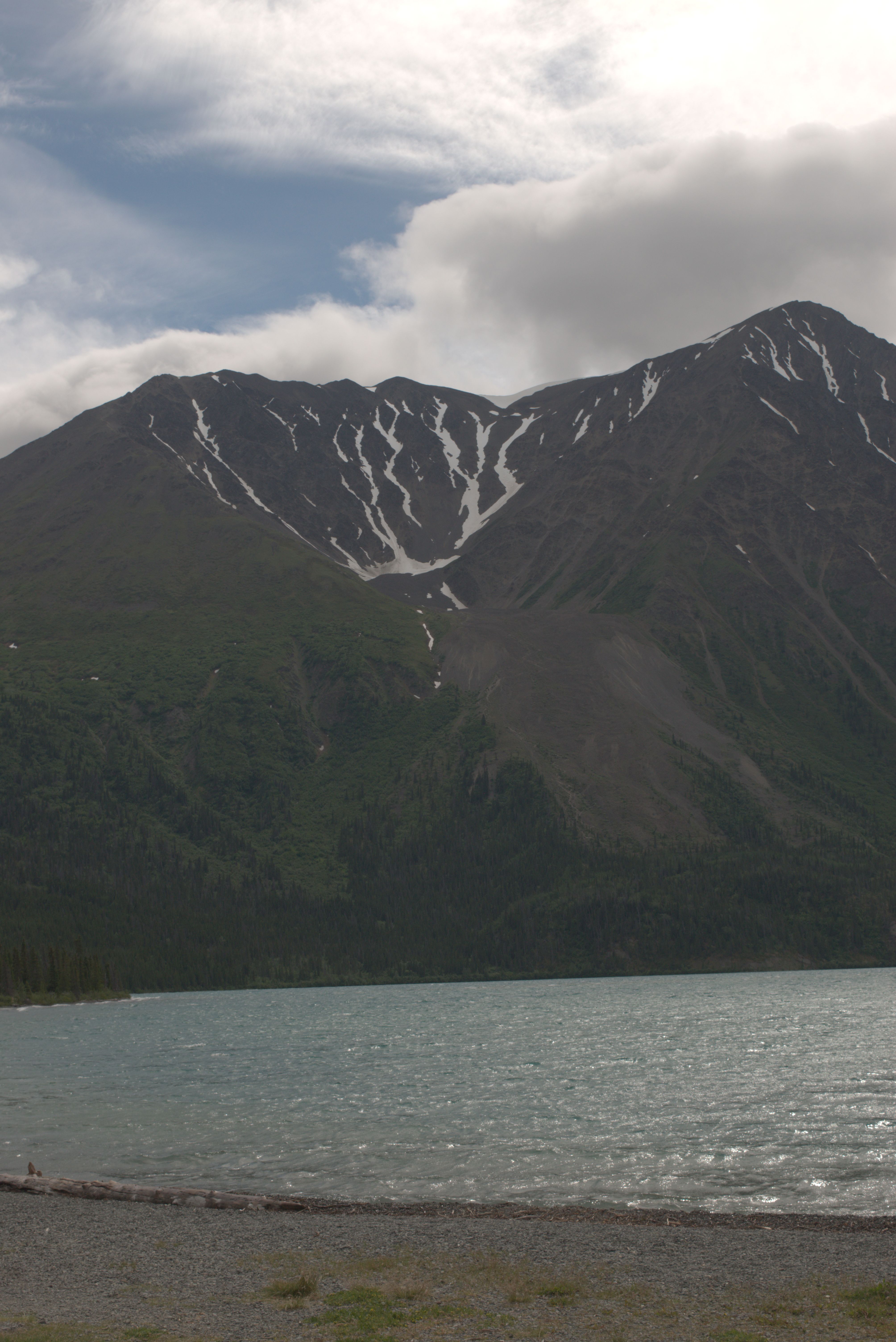
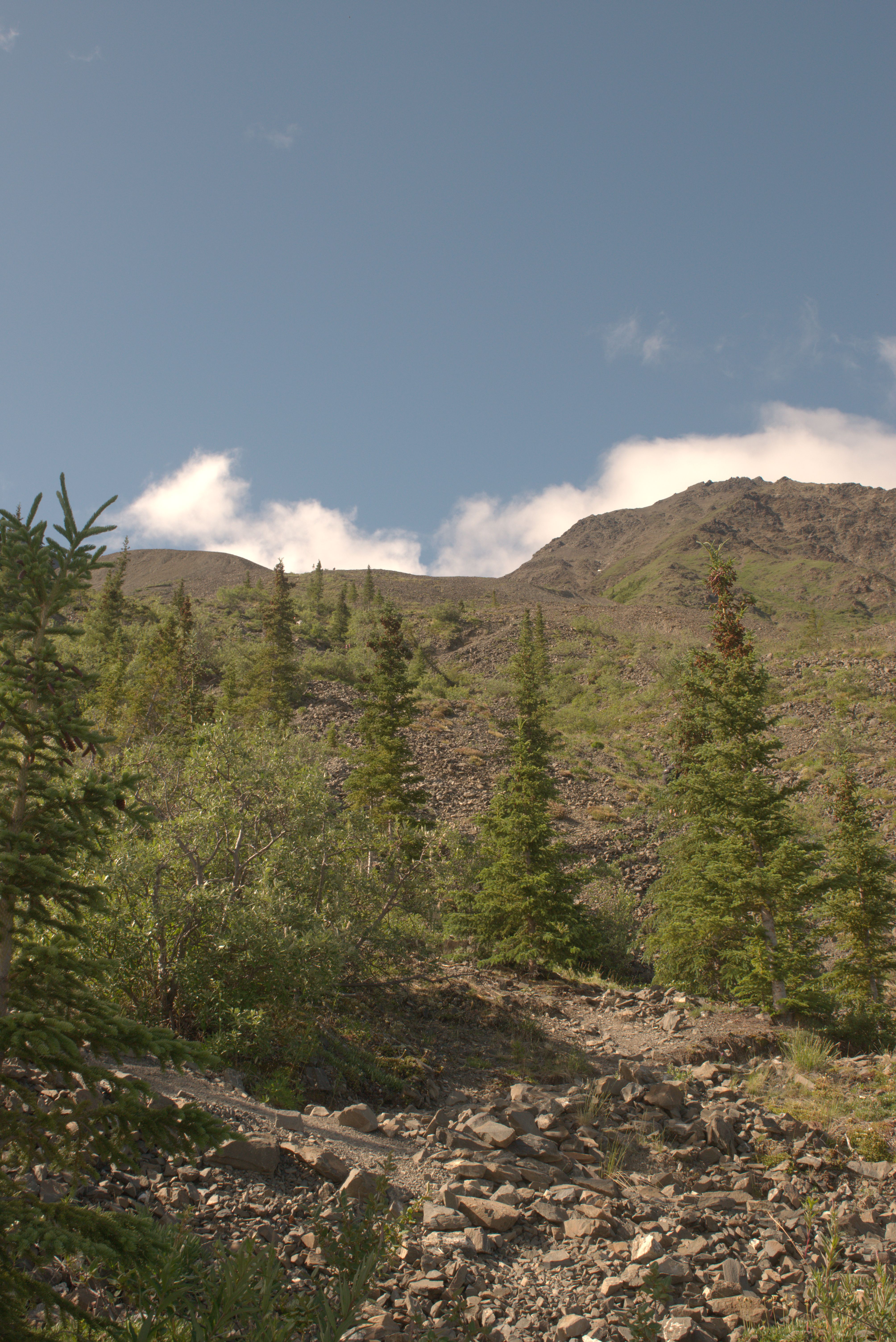
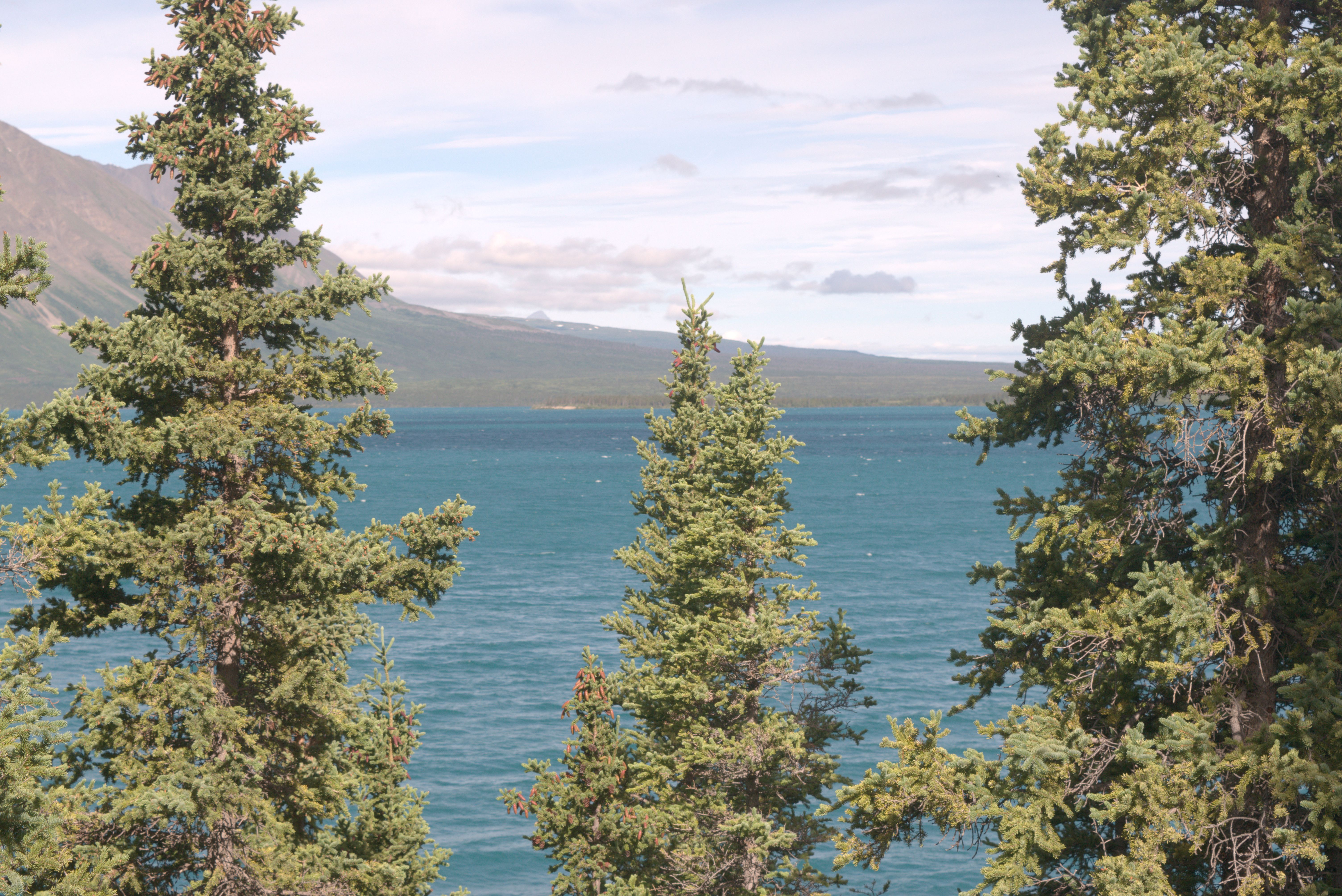
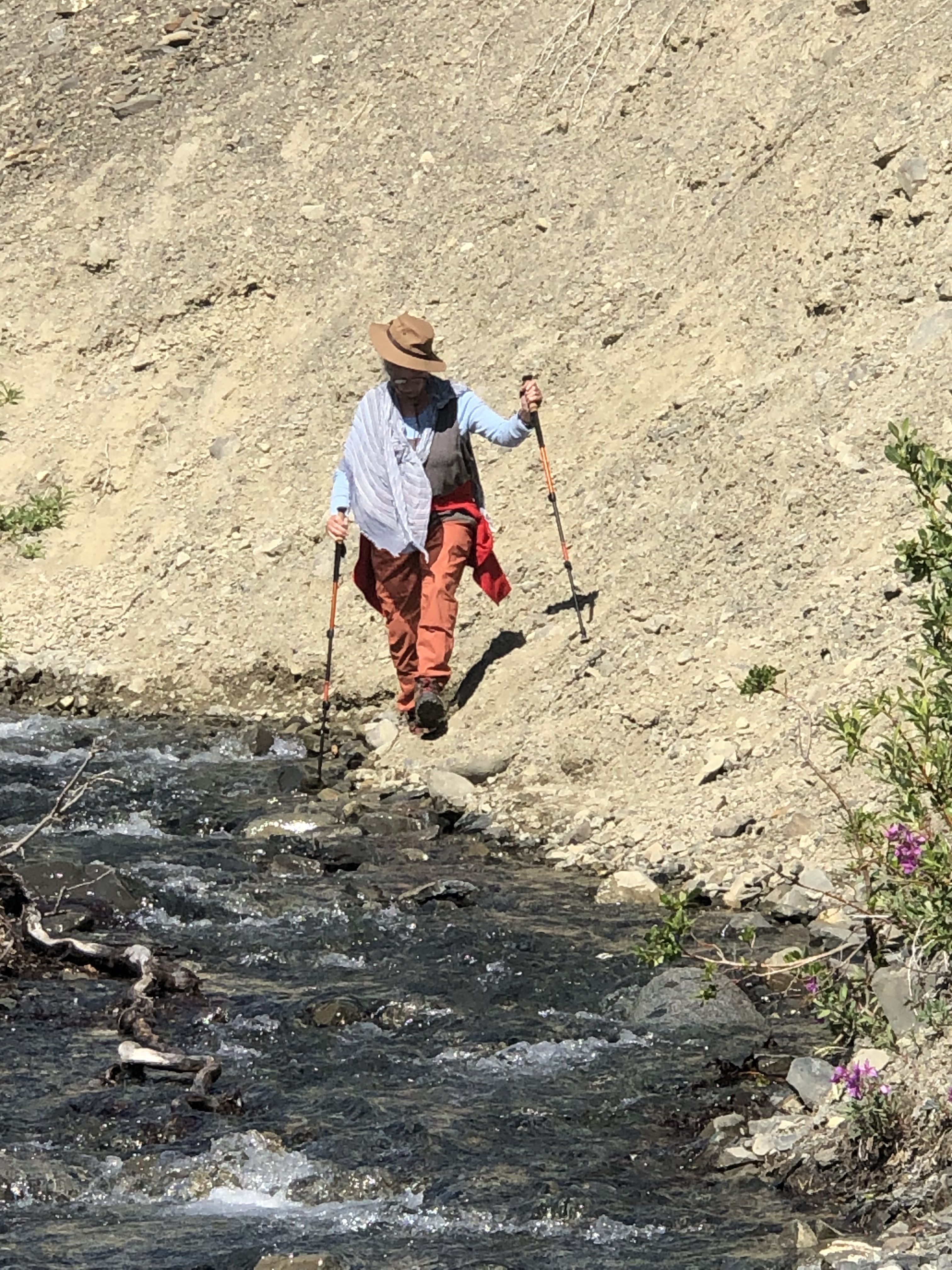
The trail up to King’s Throne is very steep, with sections over scree fields. This tested our flatlander legs, which were not yet accustomed to the mountains. The new hiking poles proved to be very helpful.
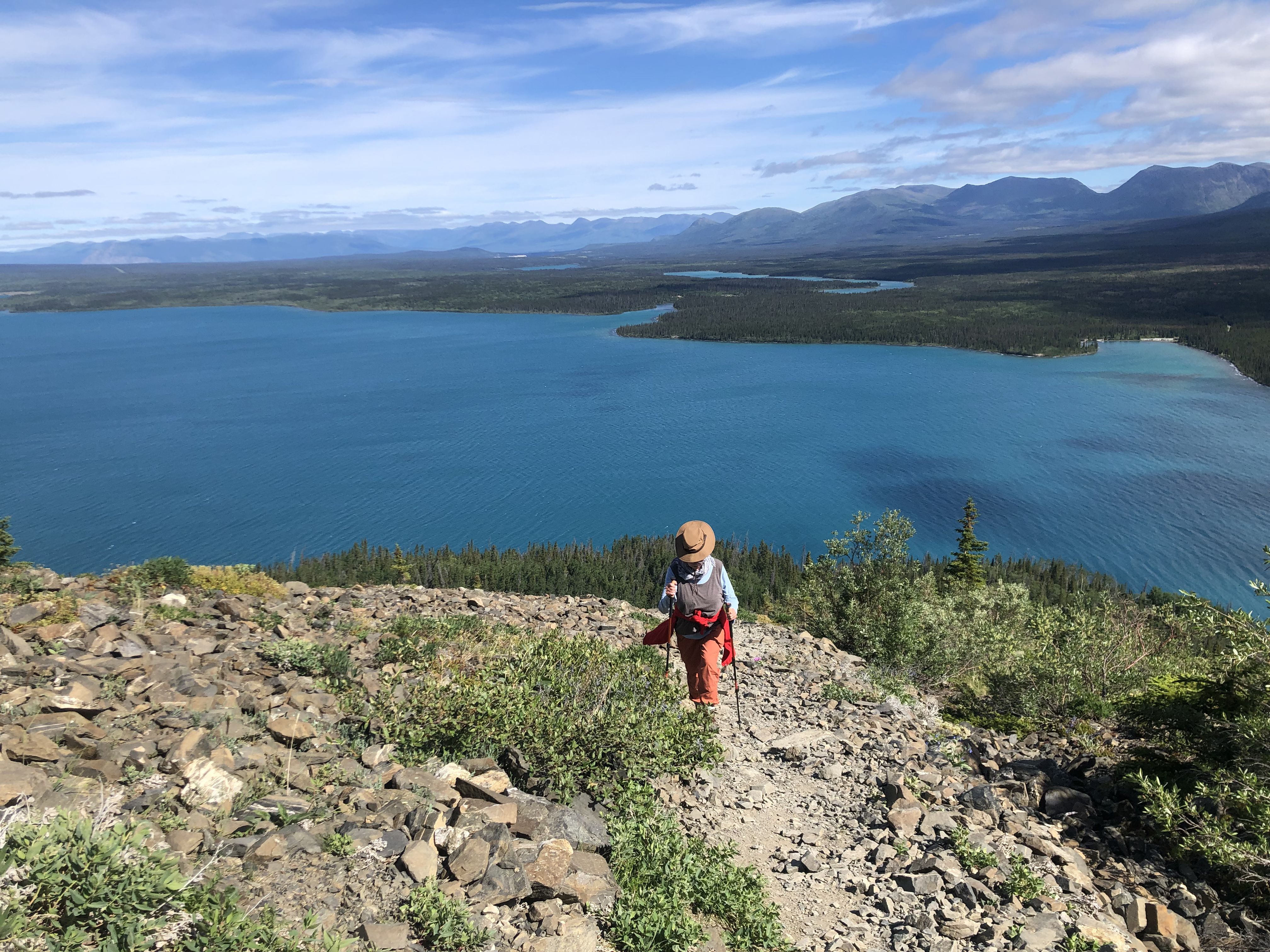
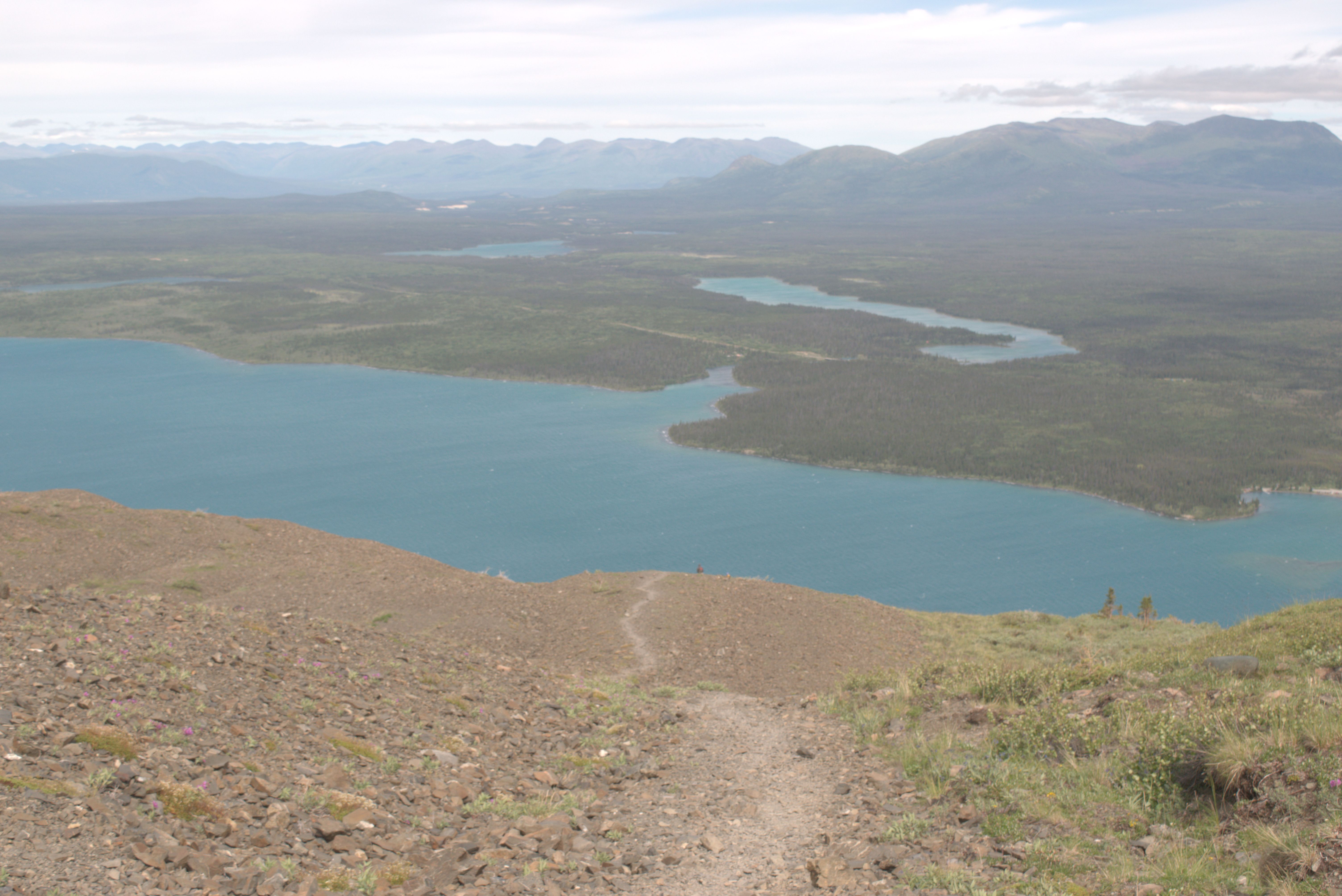
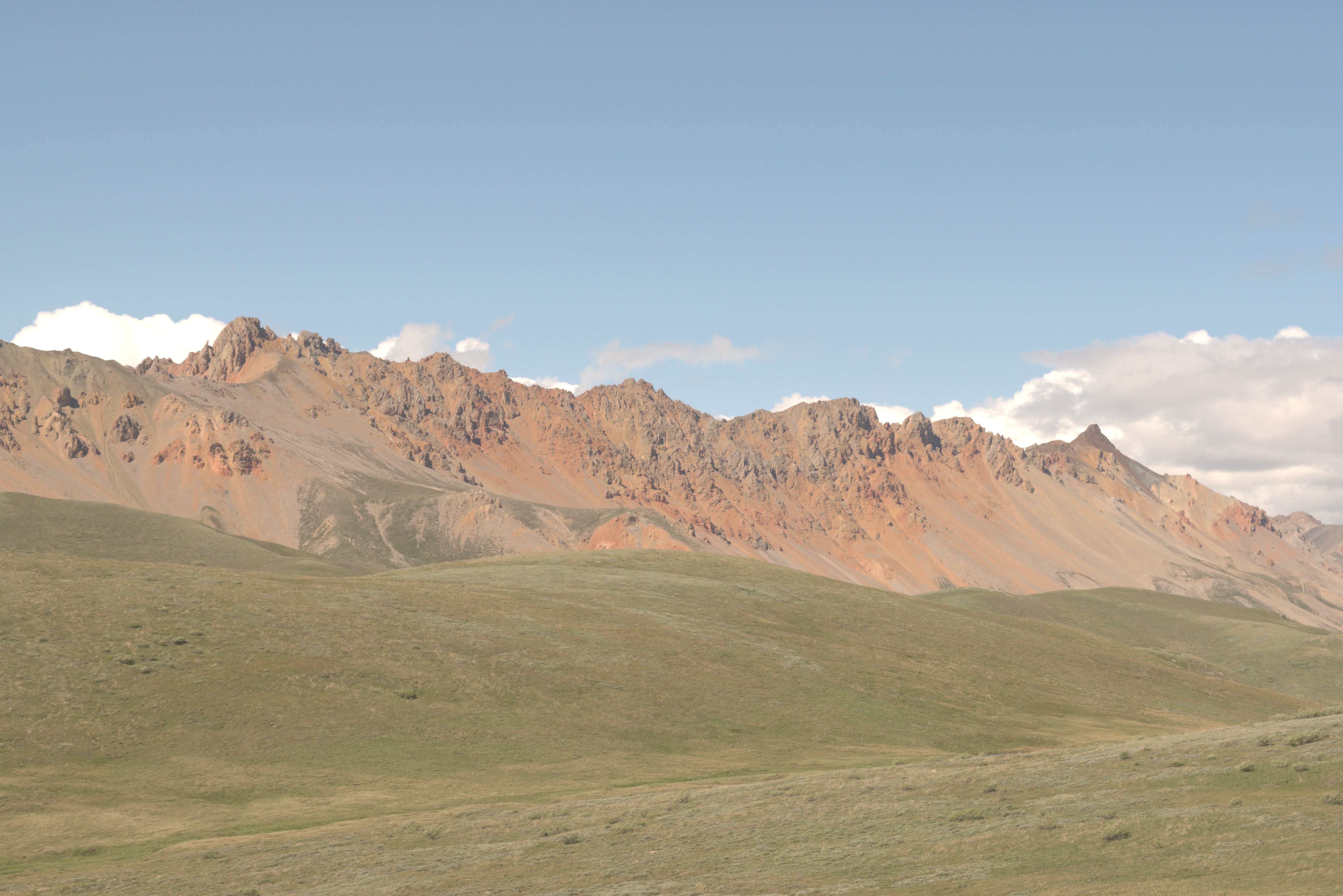
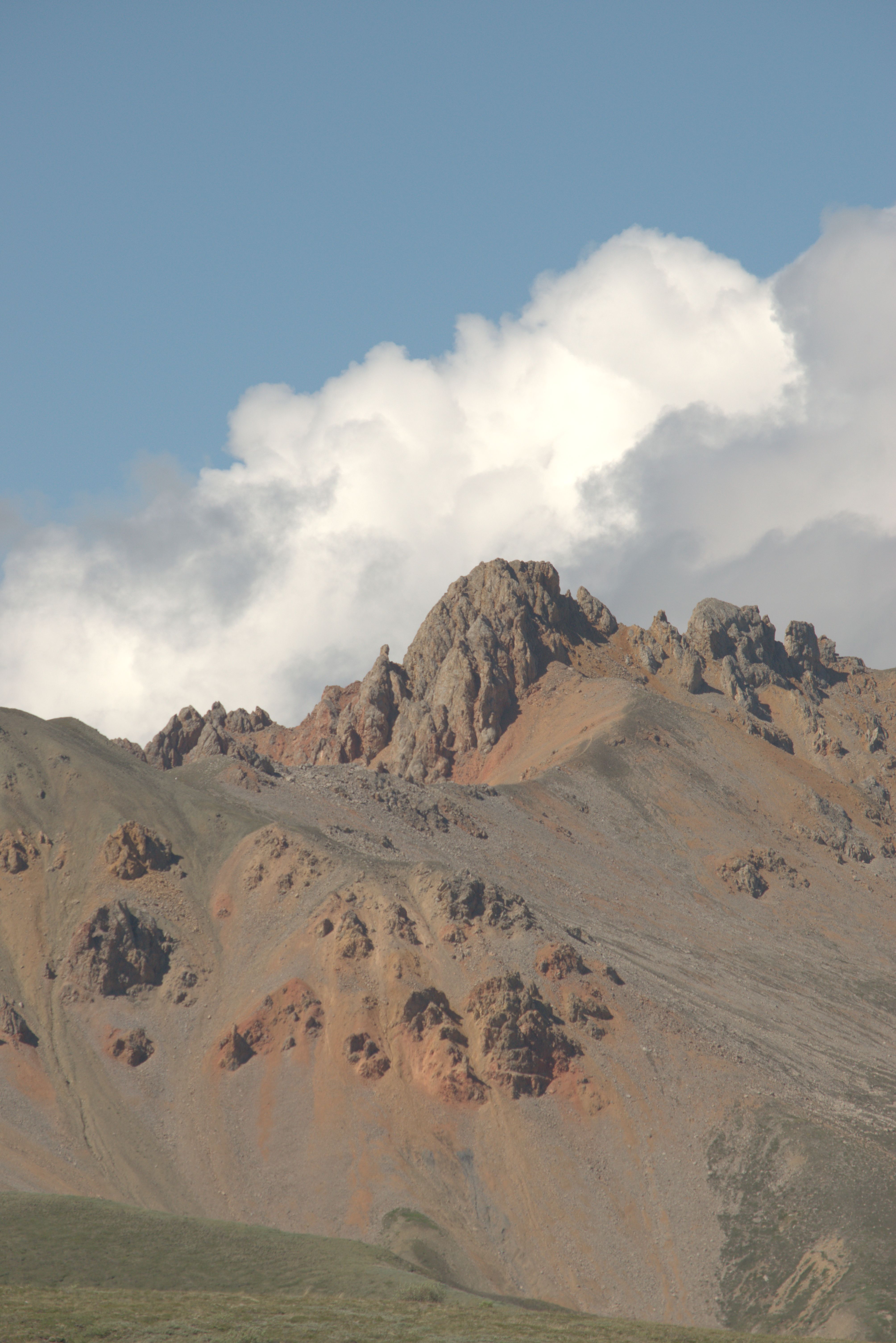
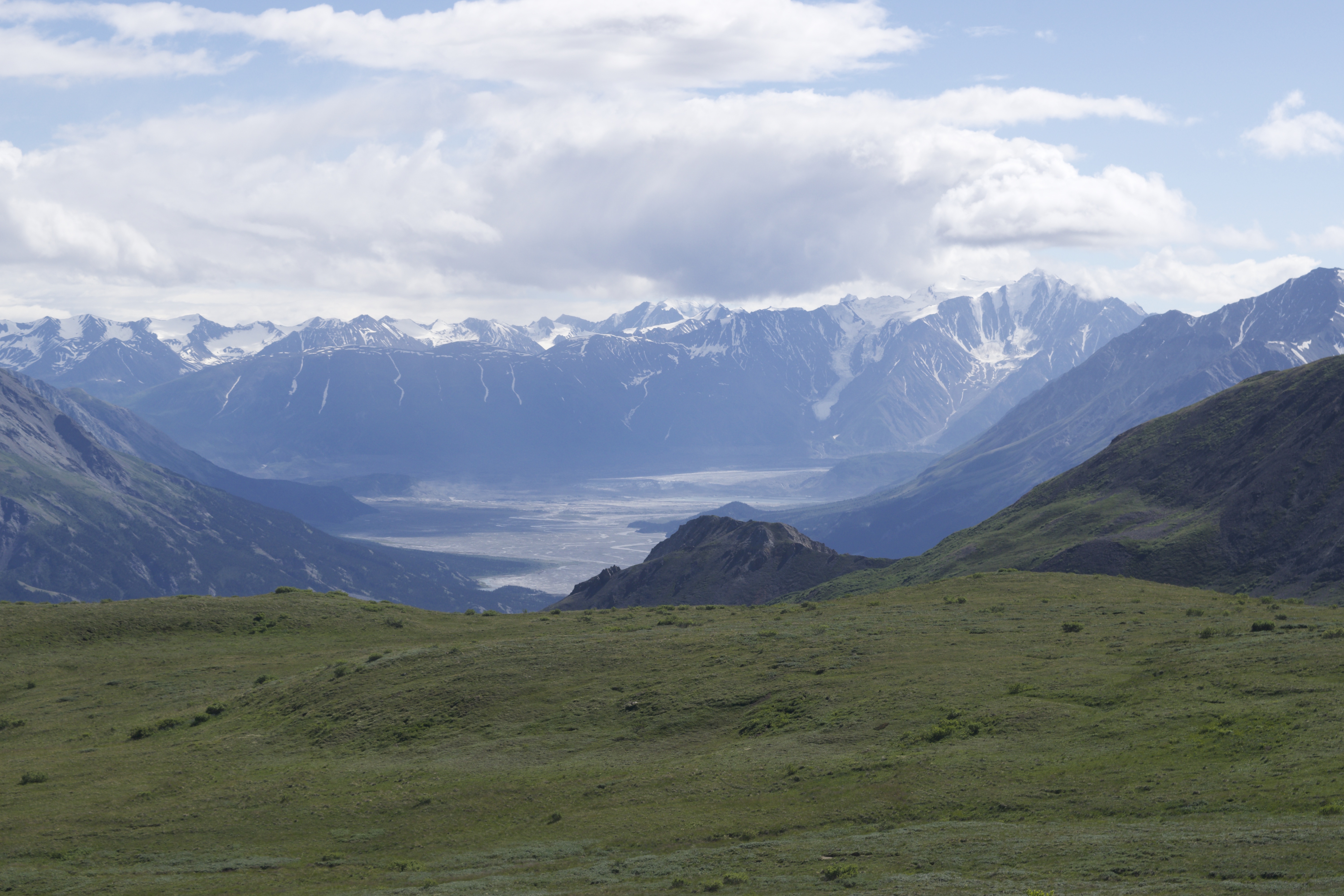
The views over Lake Kathleen and the Kluane Mountains to the north are breathtaking. The winds picked up, becoming strong and cold—providing the perfect excuse to skip the ascent to the peak today.
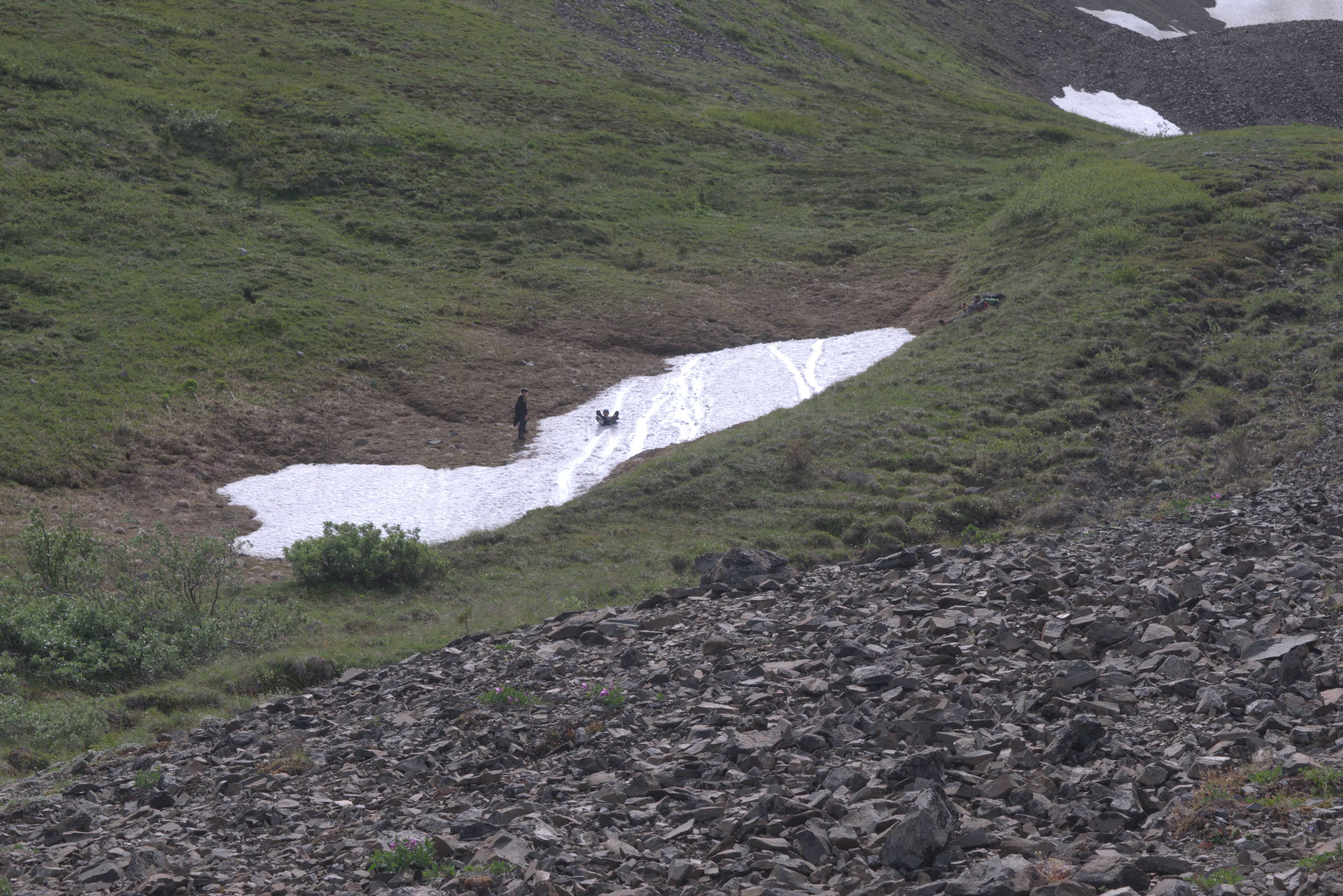
Sliding down steep snowfields never gets old!
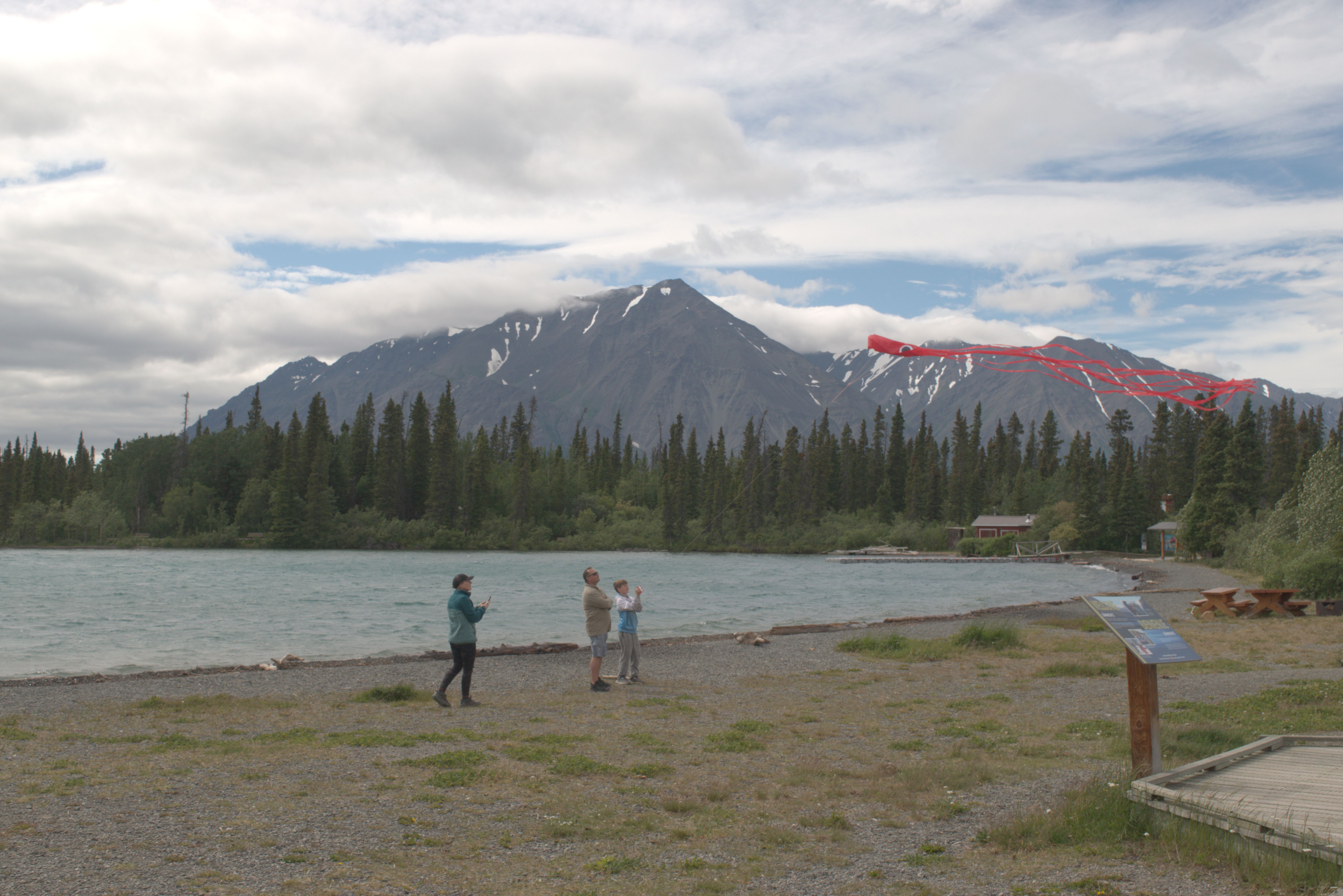
The strong wind from the lake created perfect conditions for flying a kite, as long as you were dressed warmly.
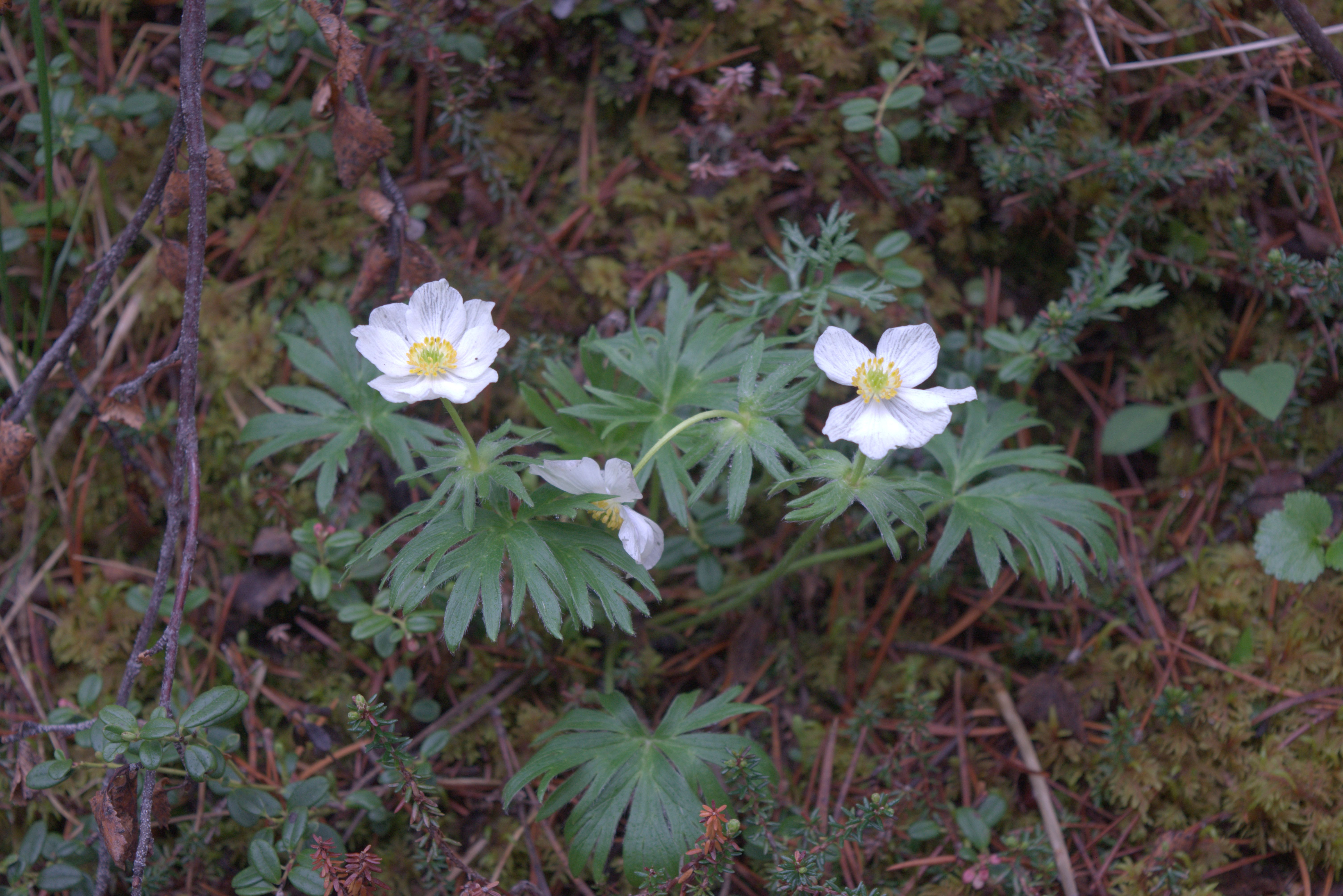
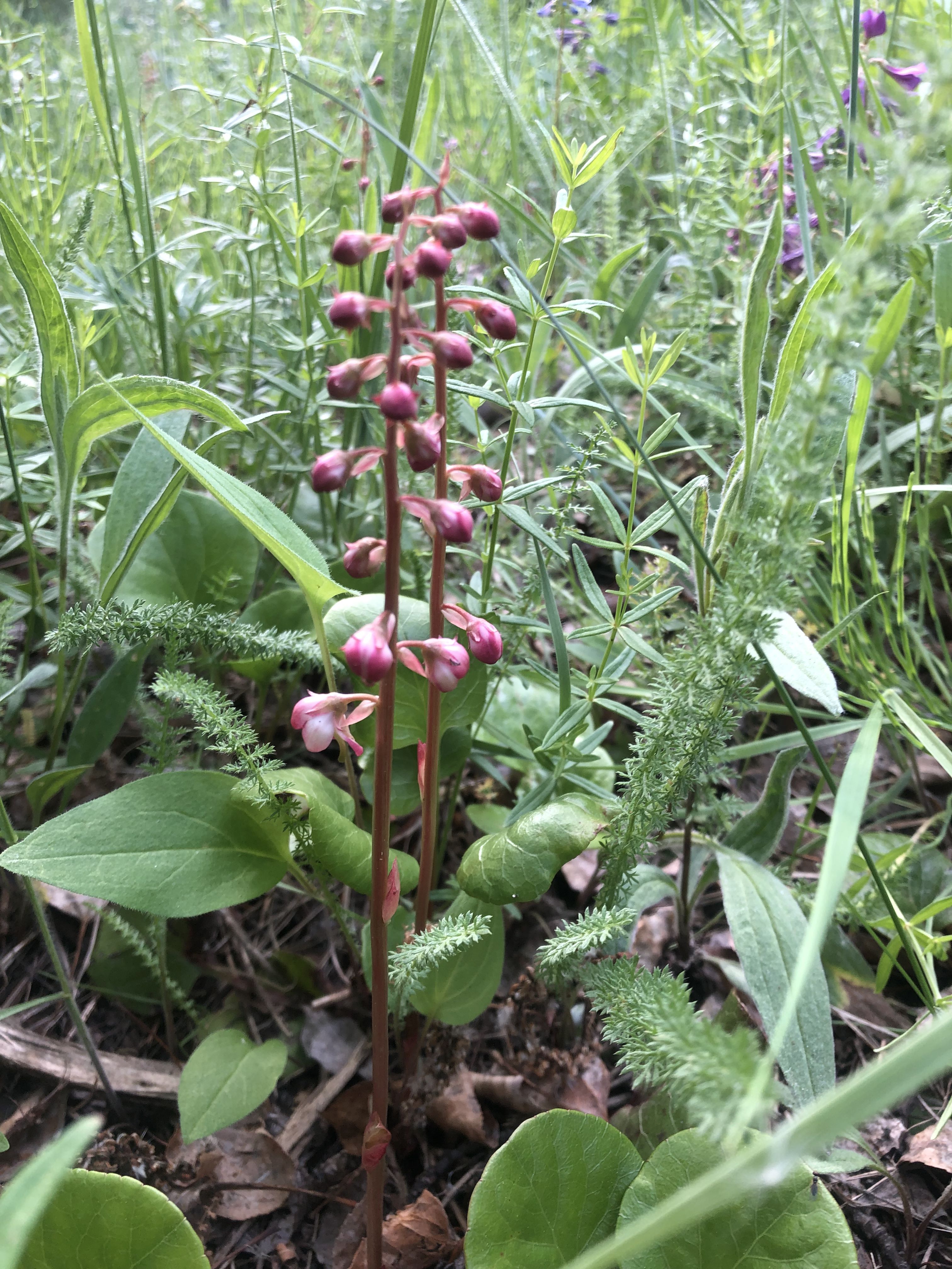
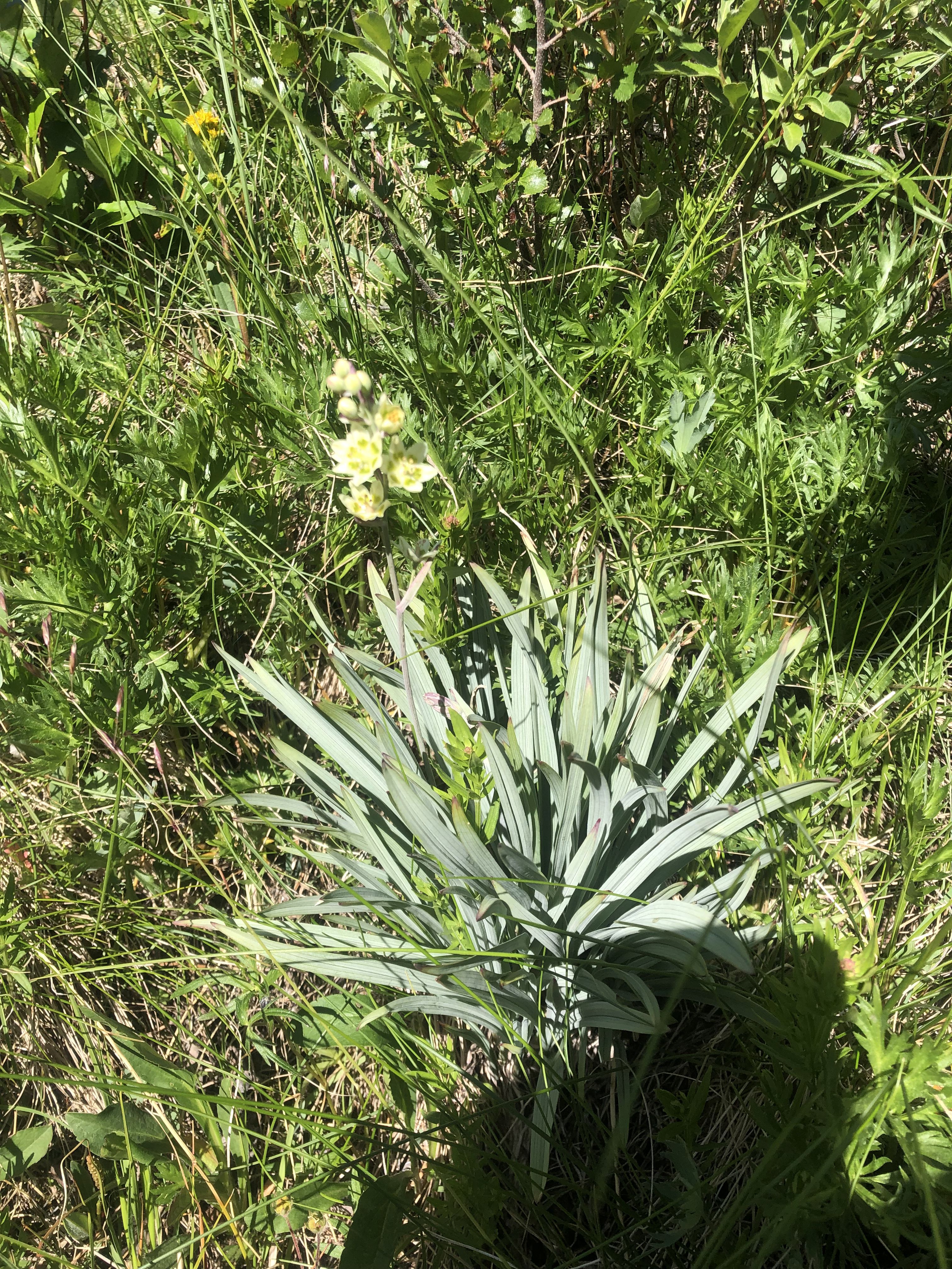
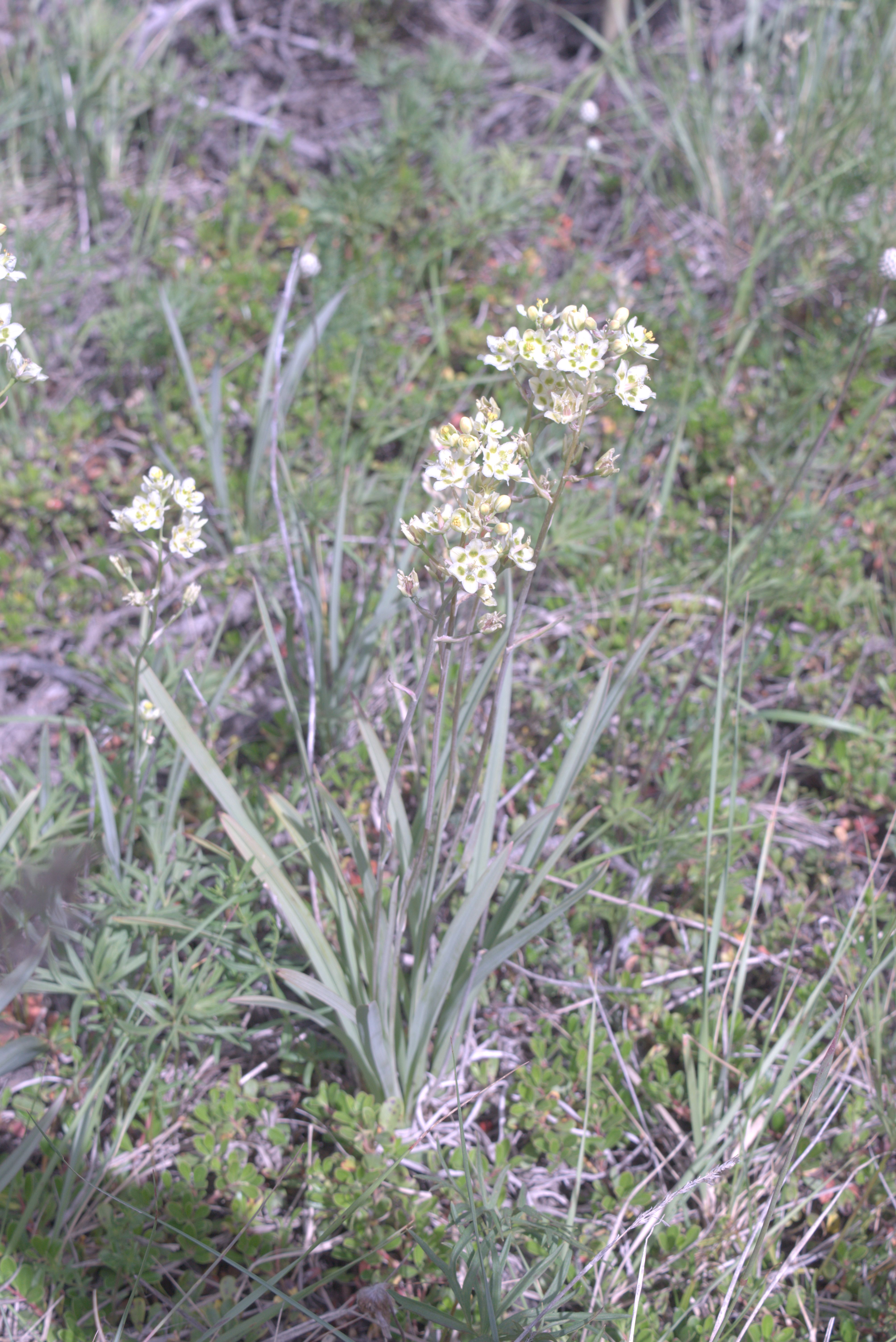
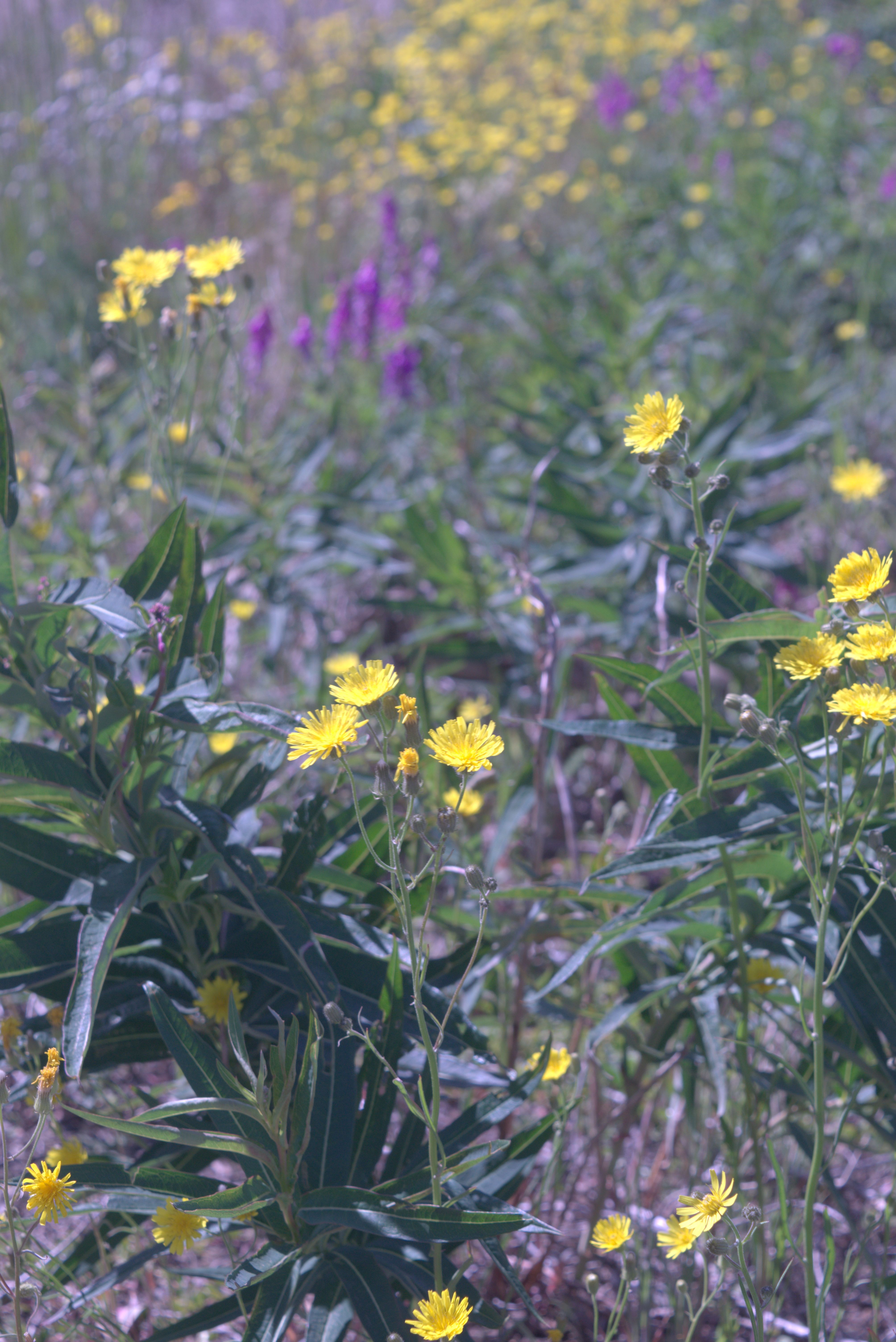
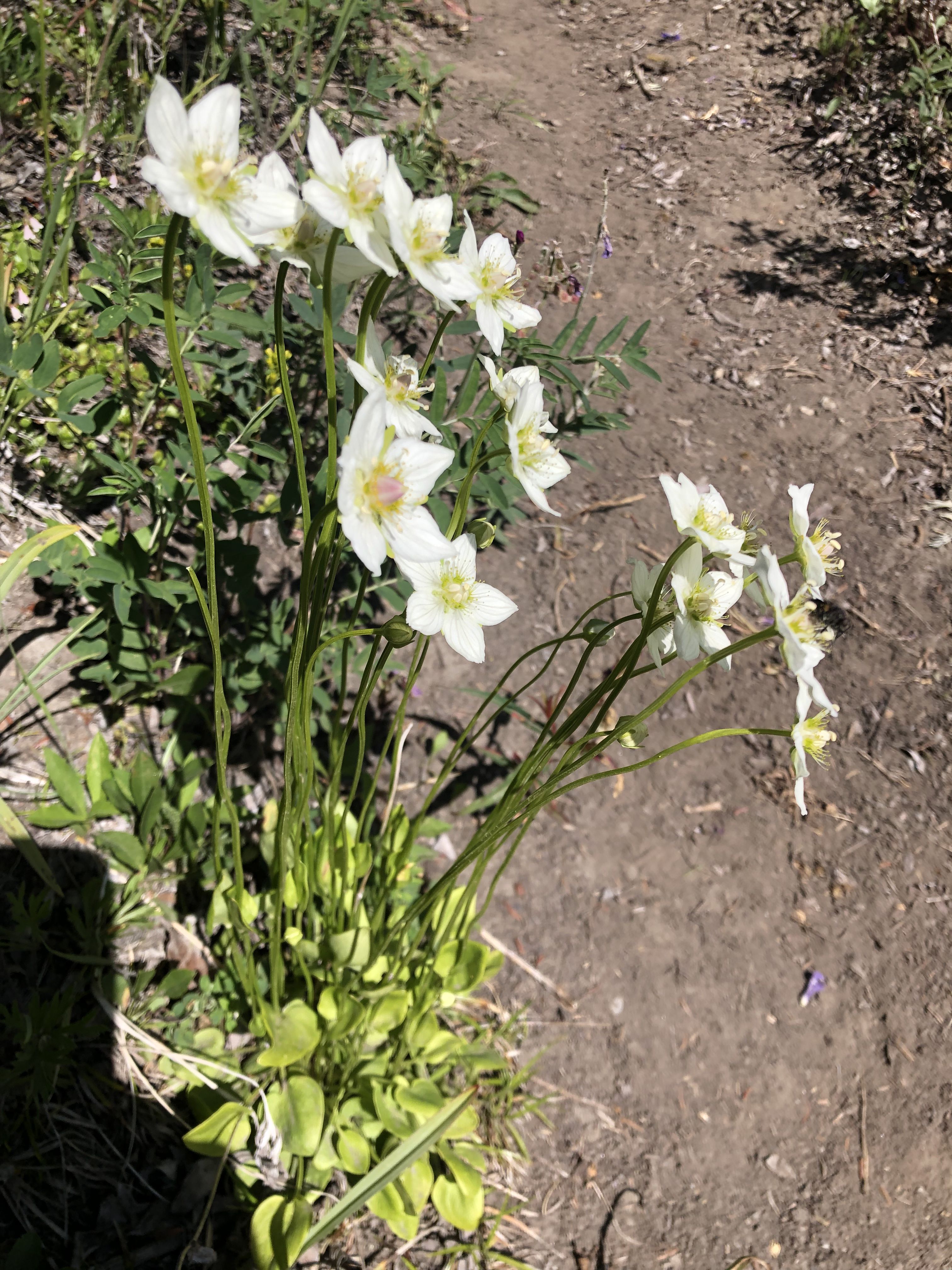
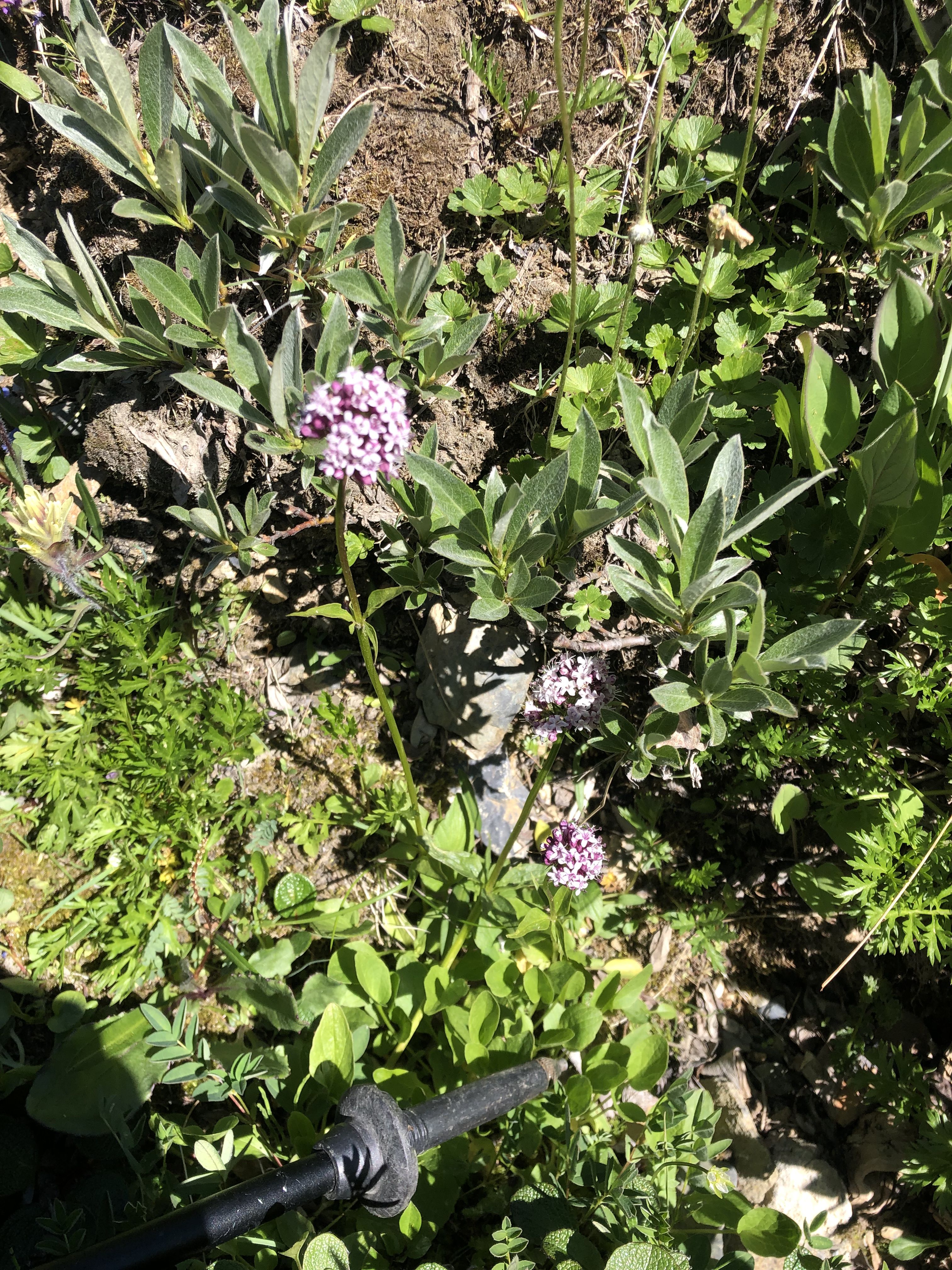
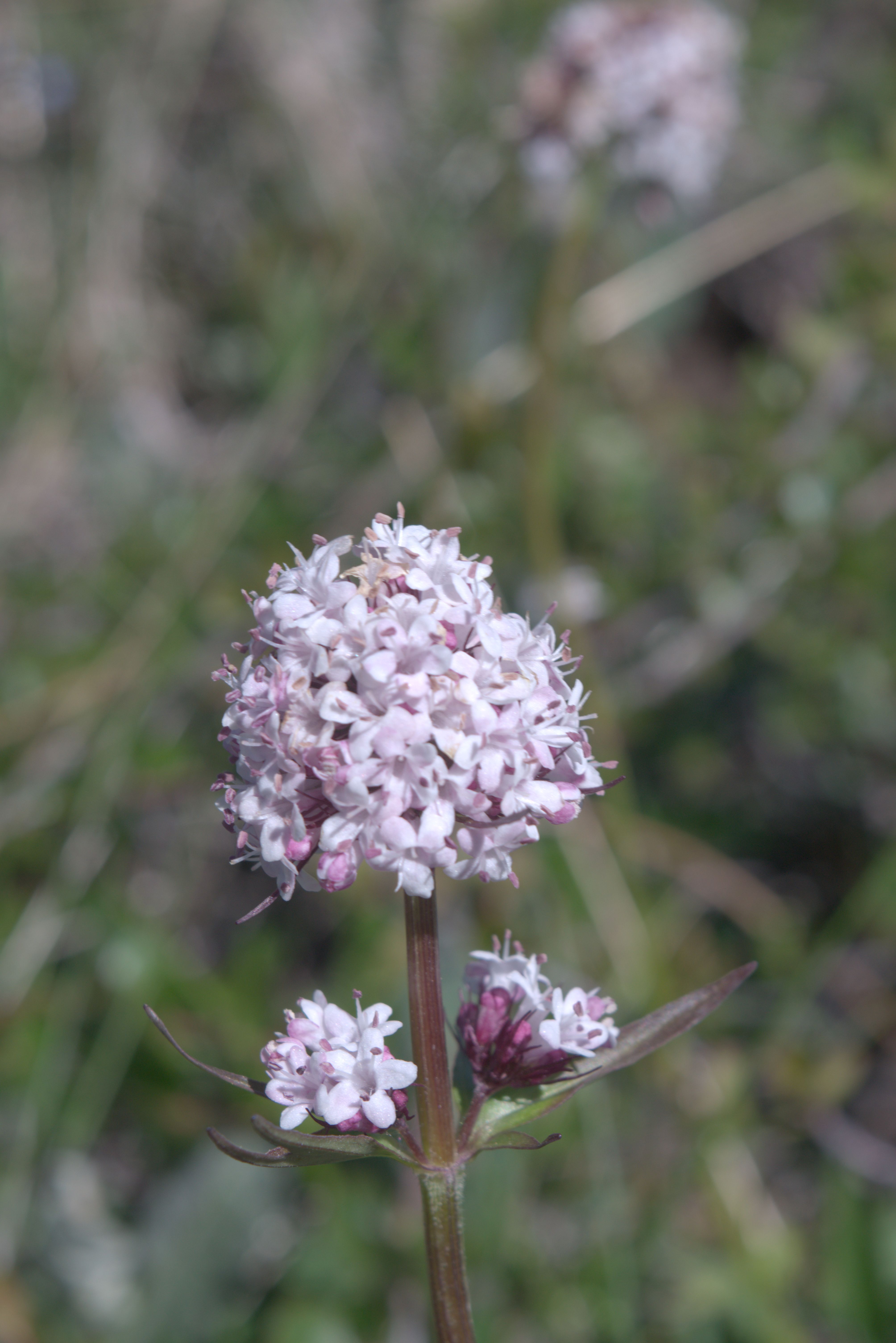
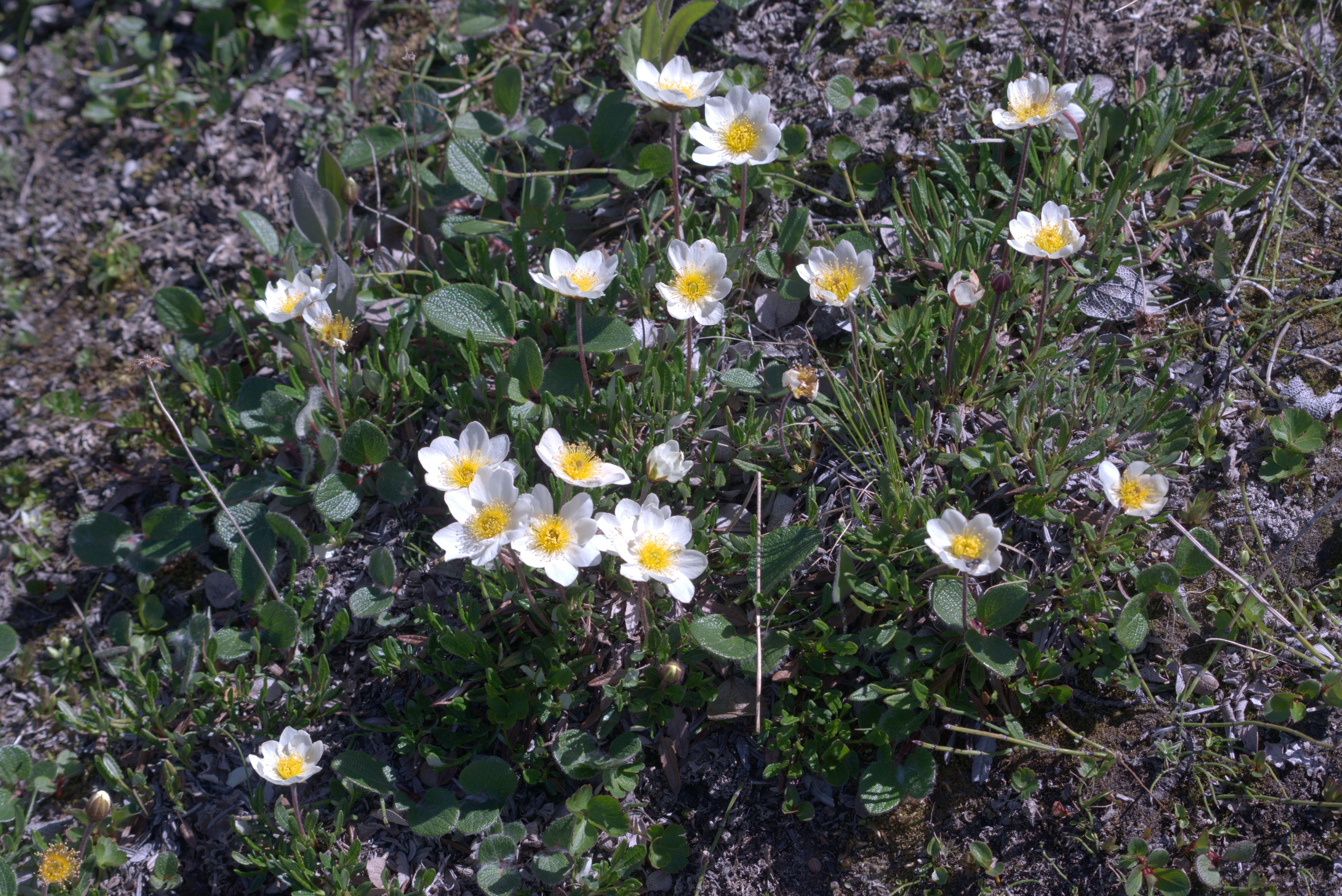
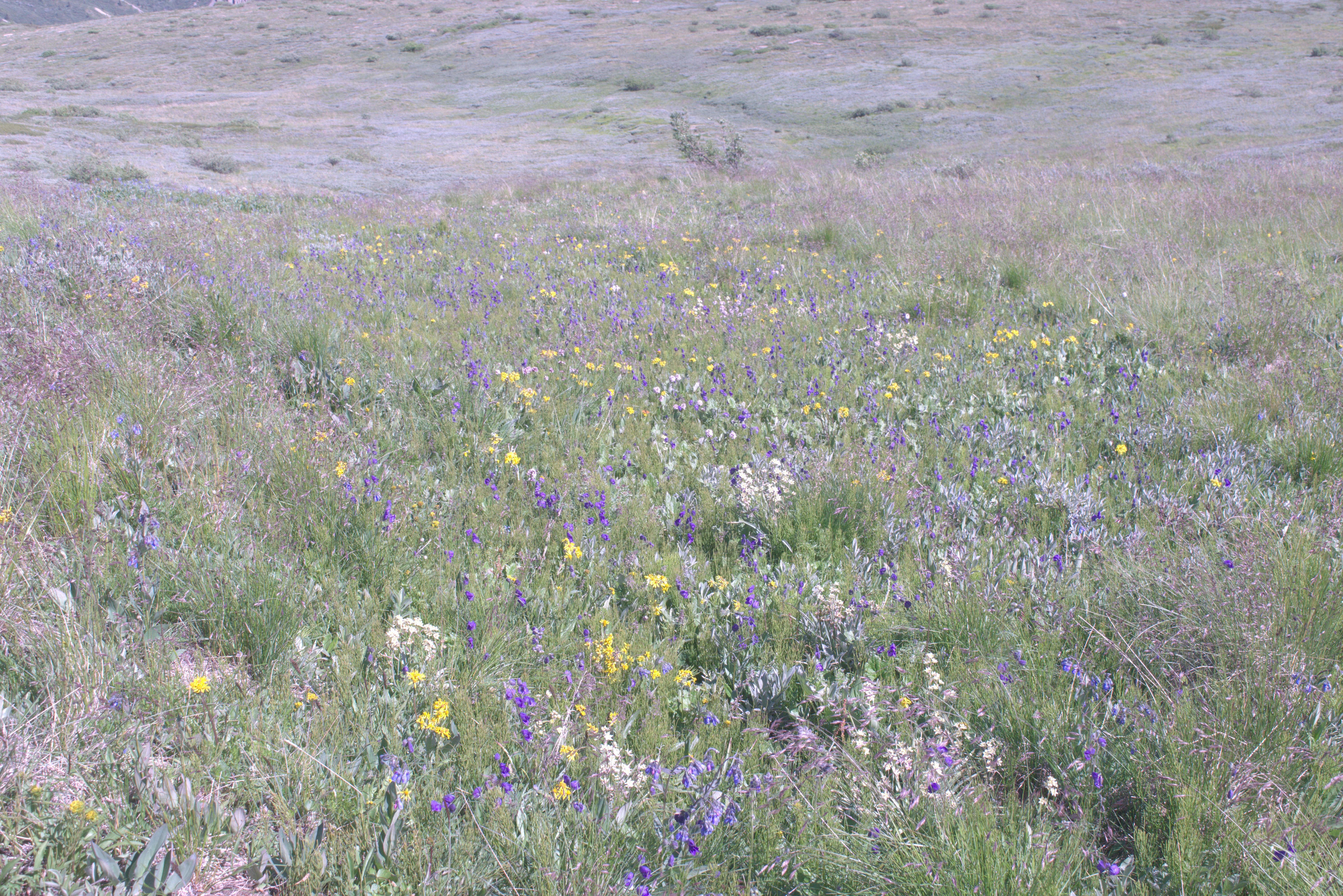
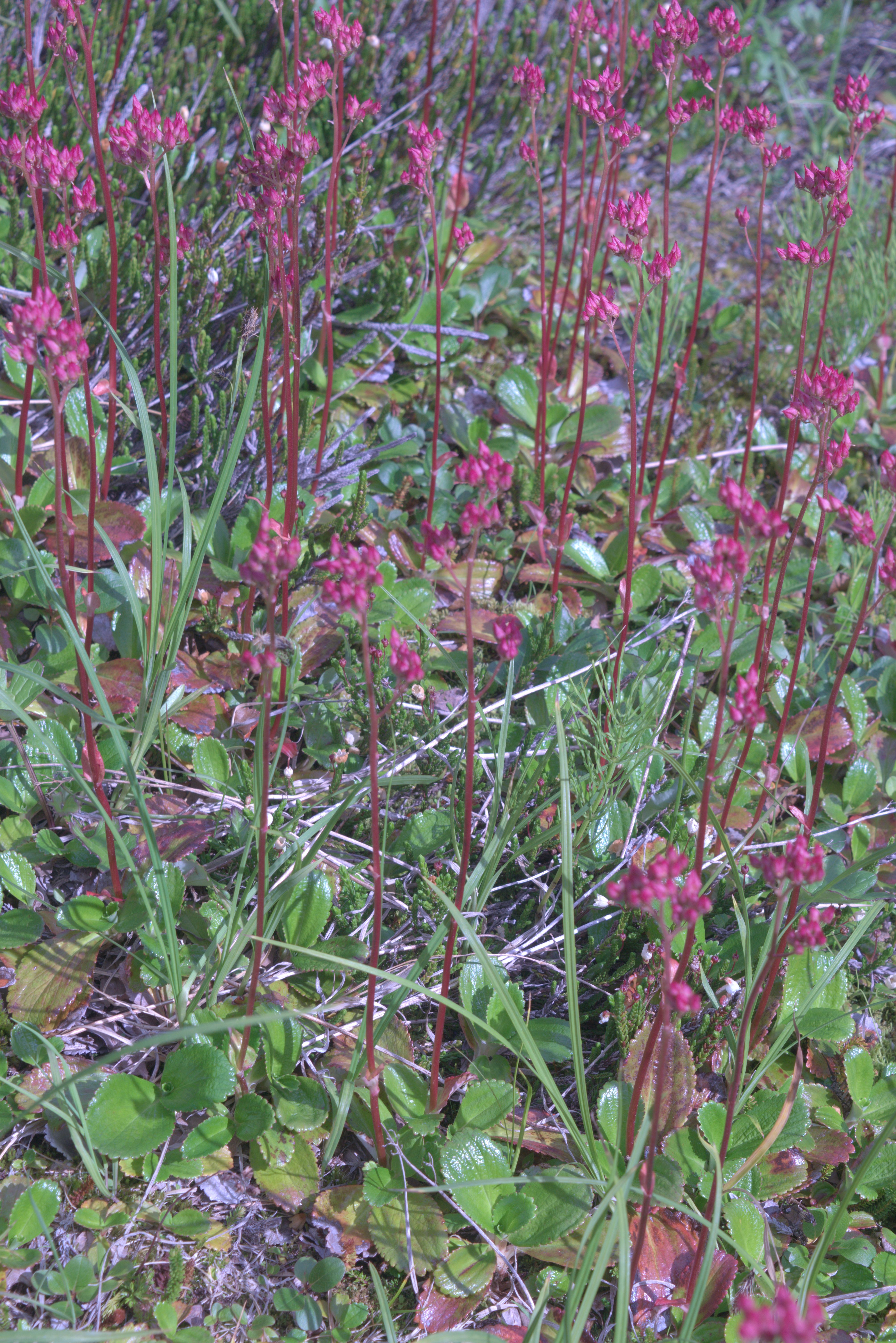
Some of the flowers we found on the trail.
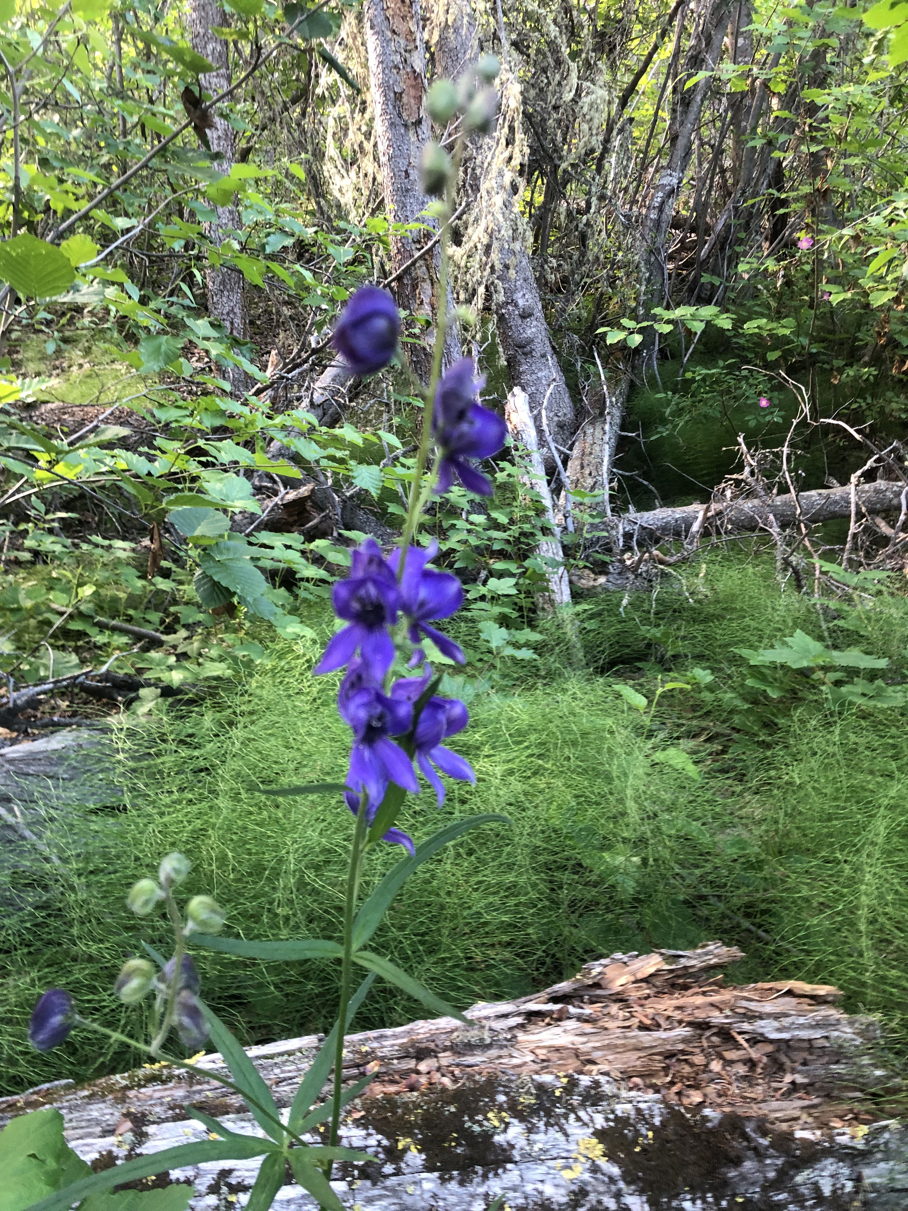
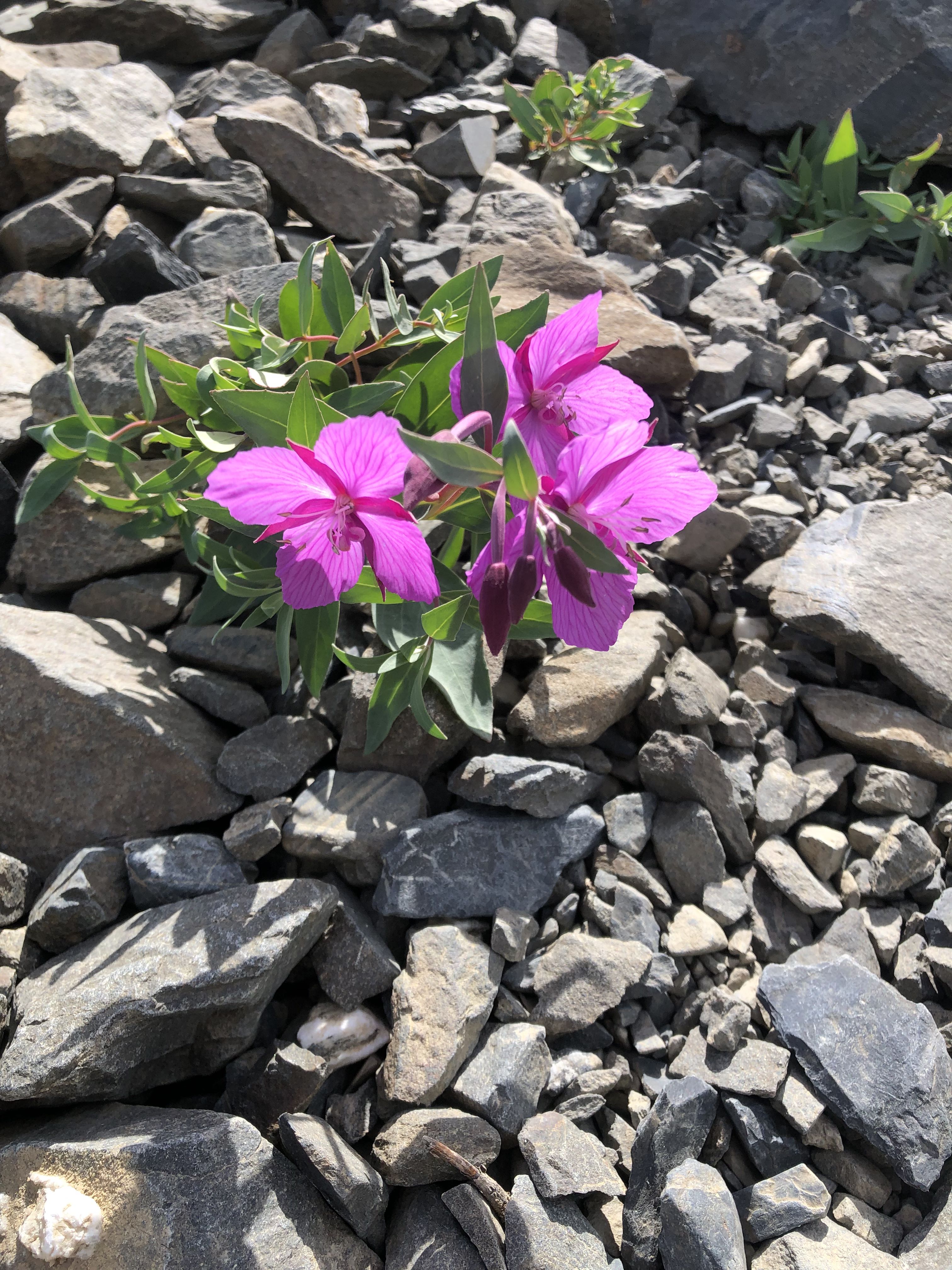
After returning from the hike to King’s Throne, we headed south along the Haines Road and visited the temporarily occupied First Nations fishing village of Klukshu. That night, we found a lovely spot just south of the village on the western side of the Haines Road.
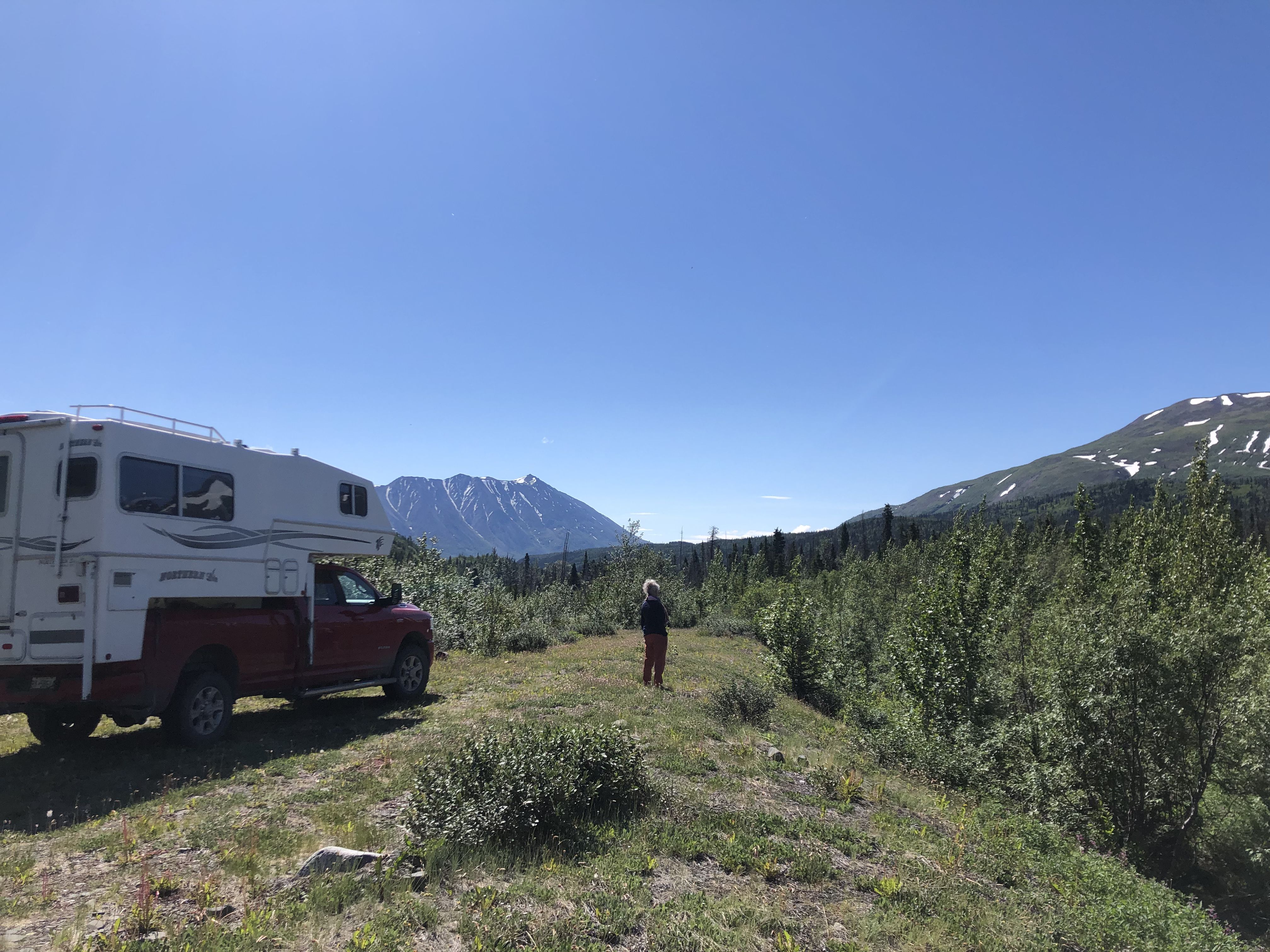
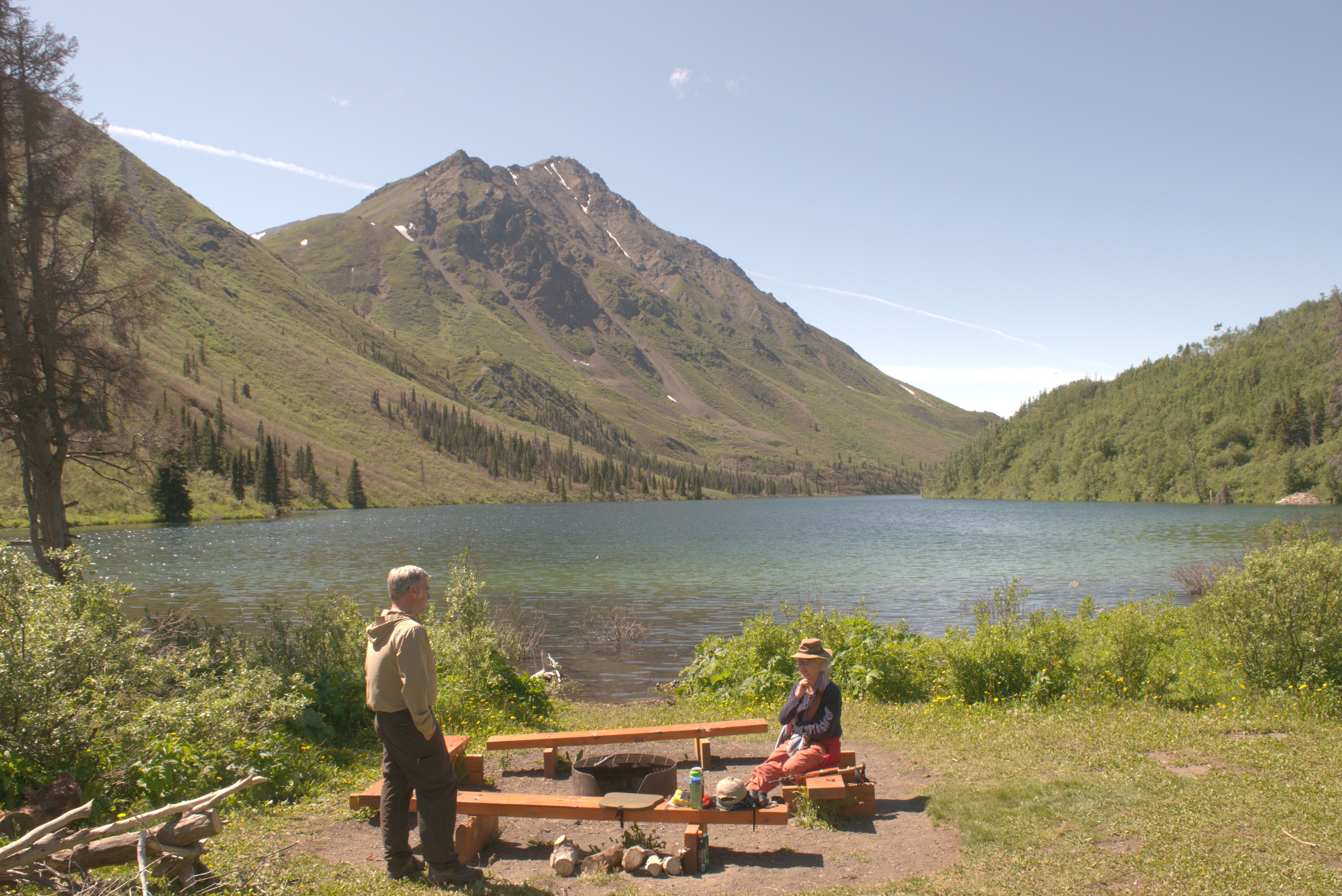
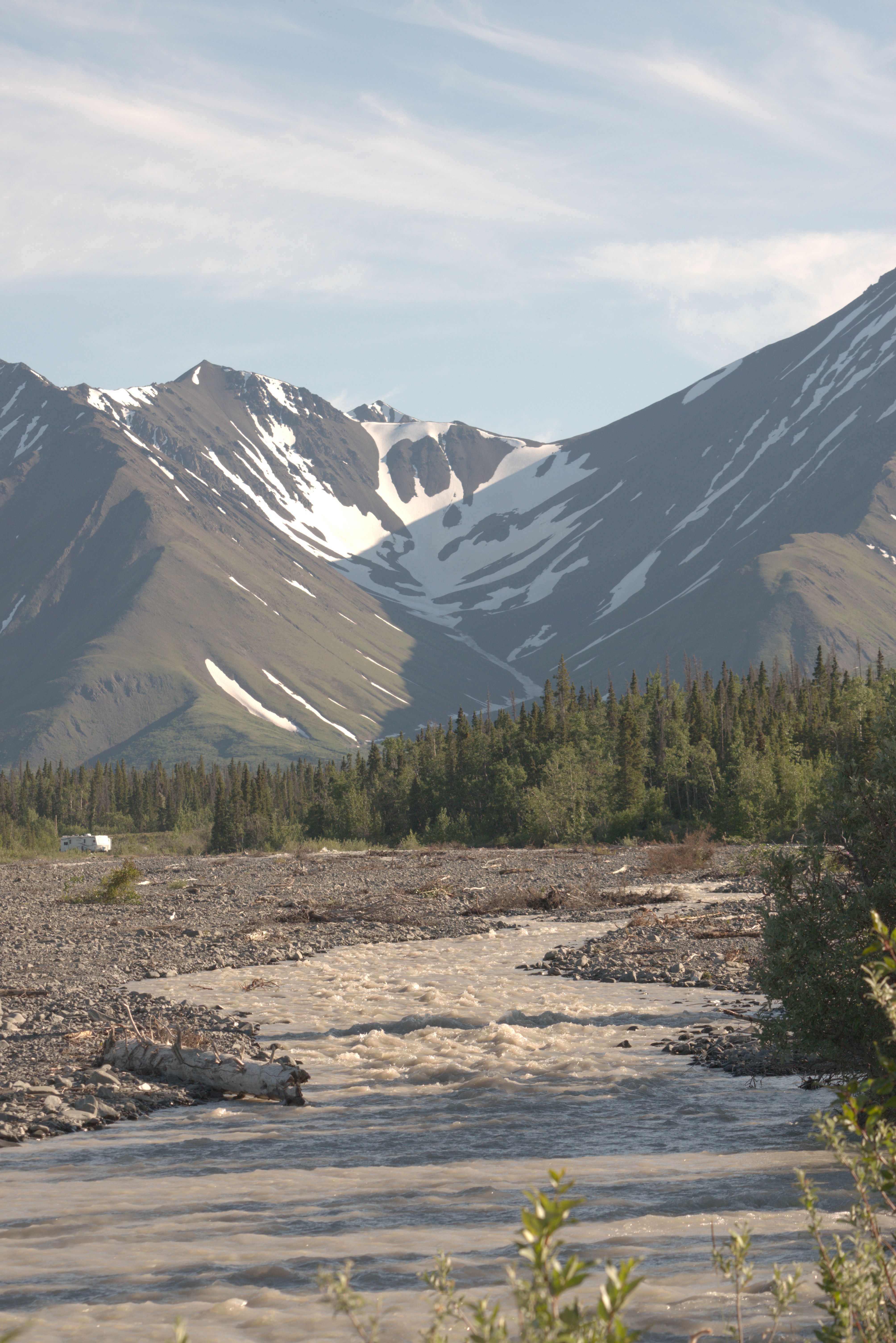
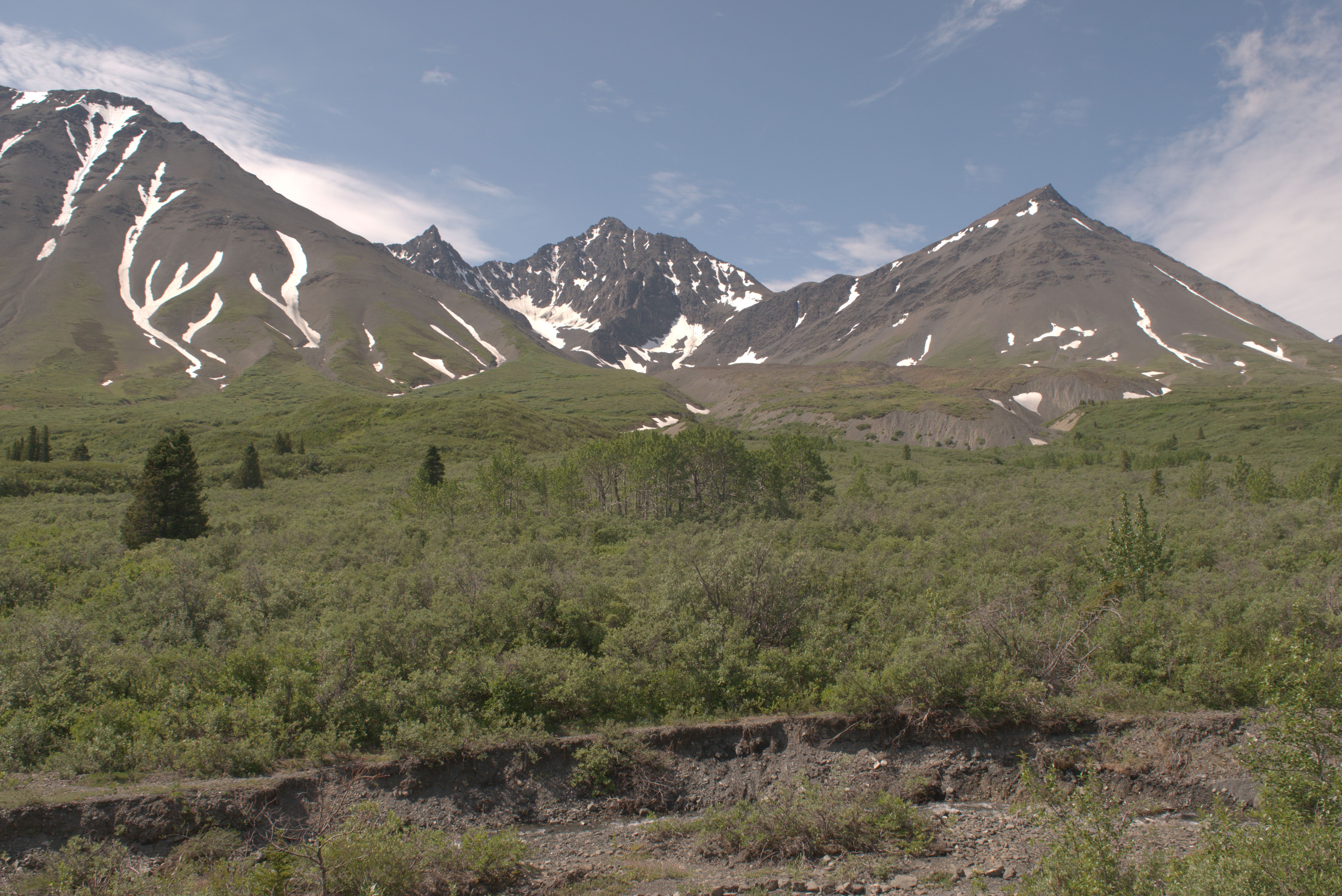
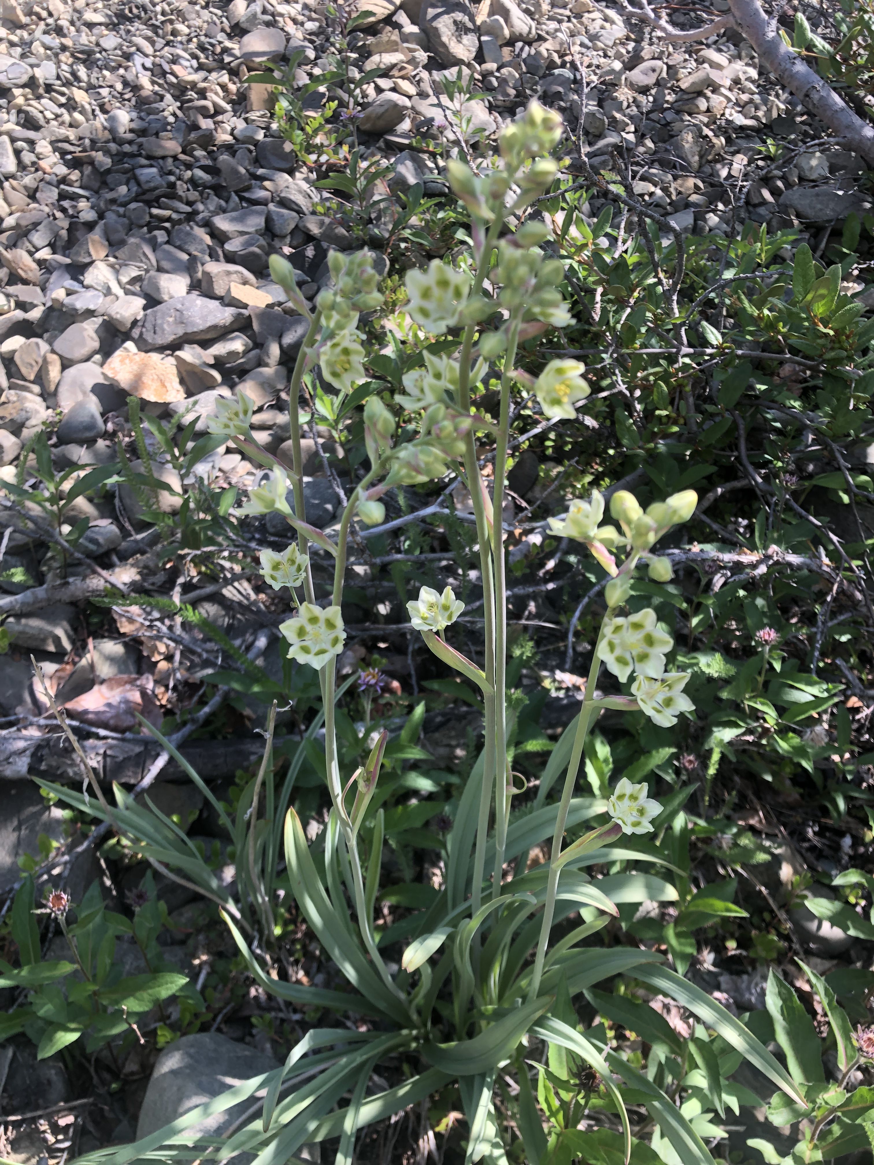
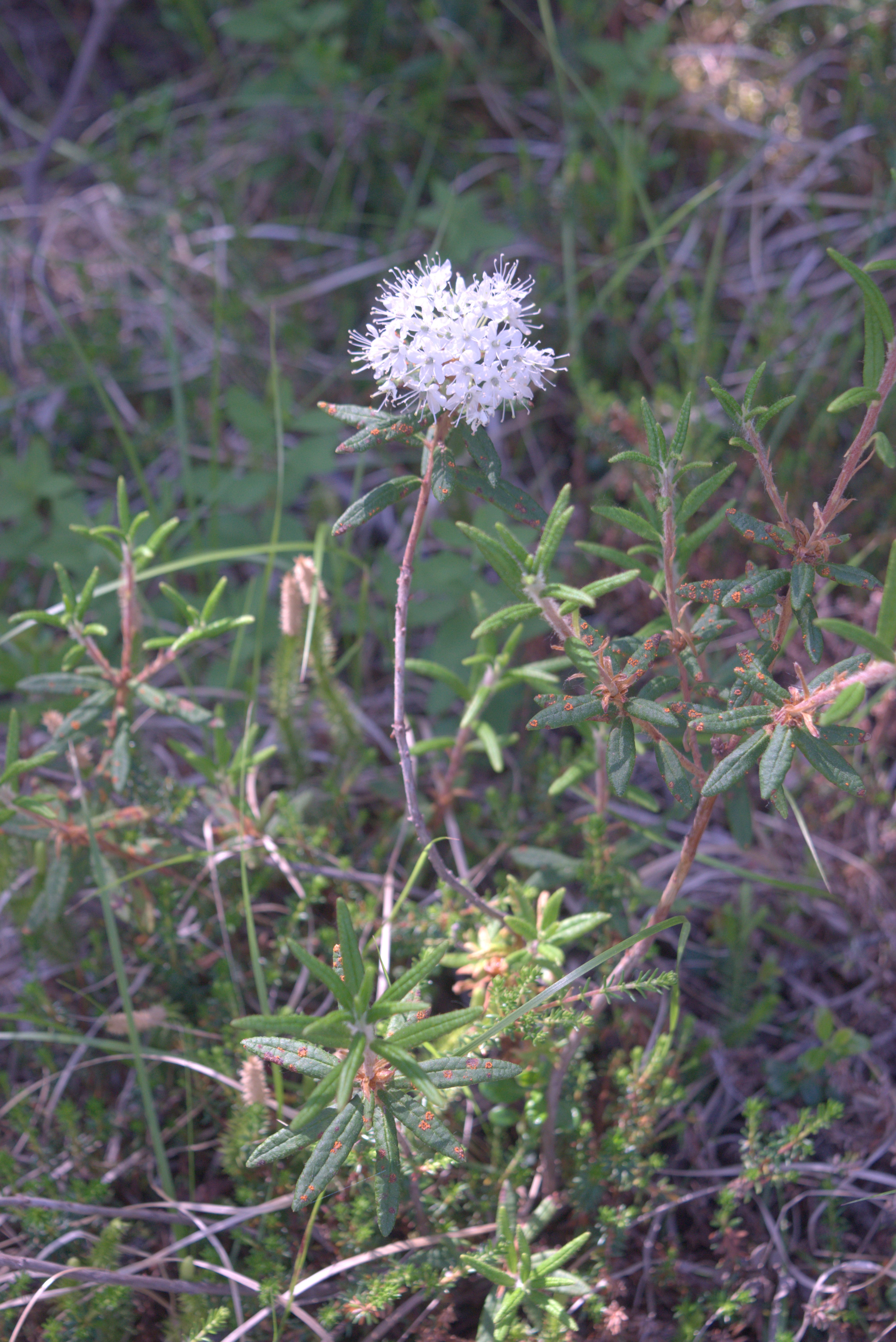
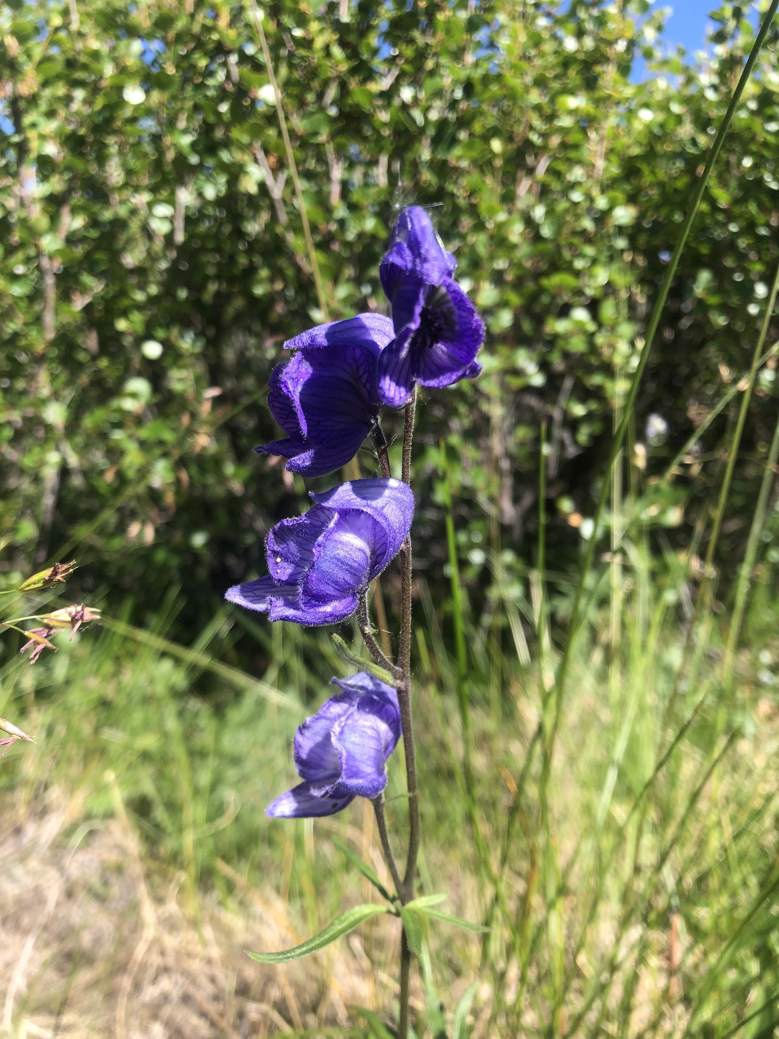
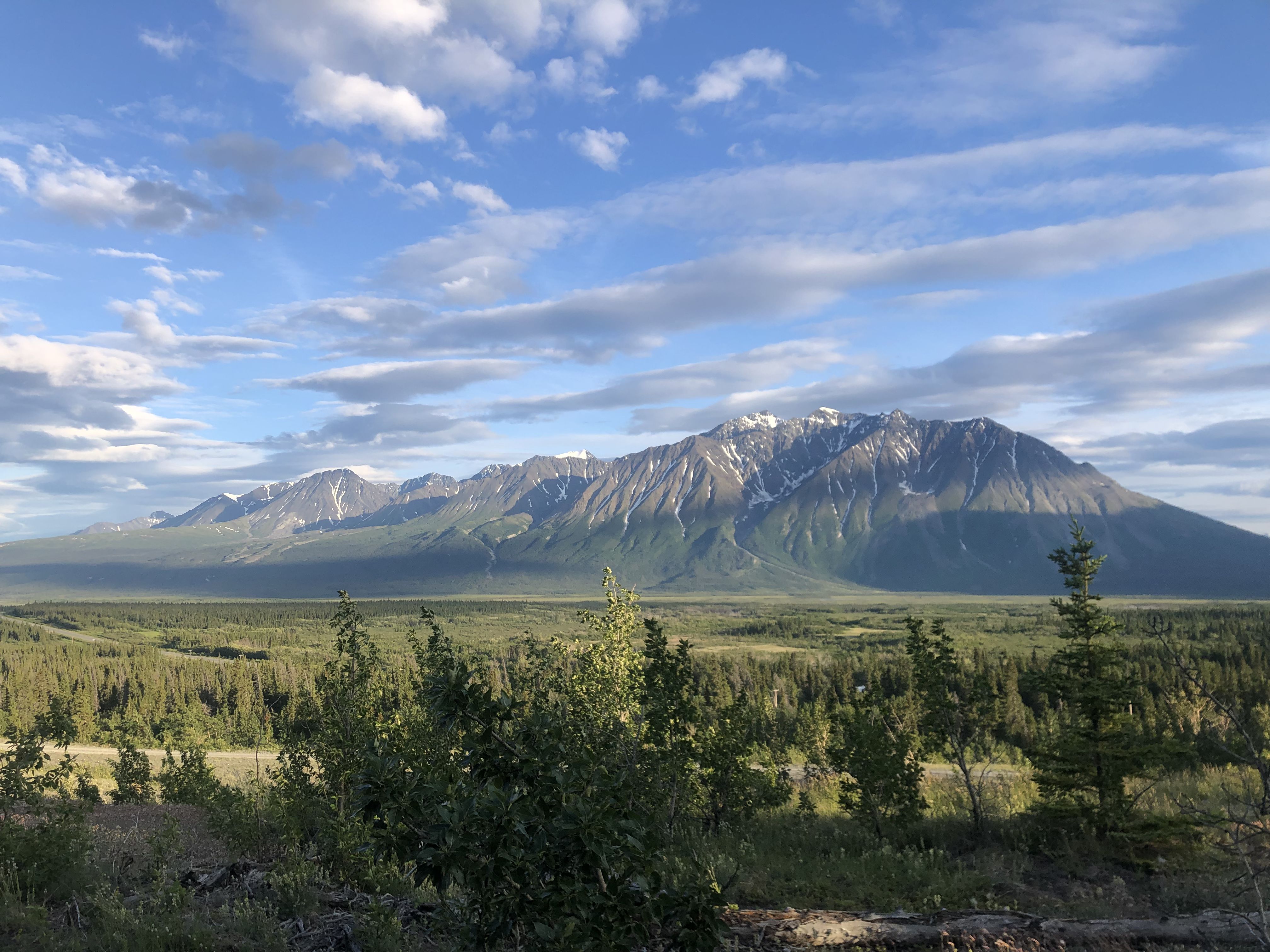
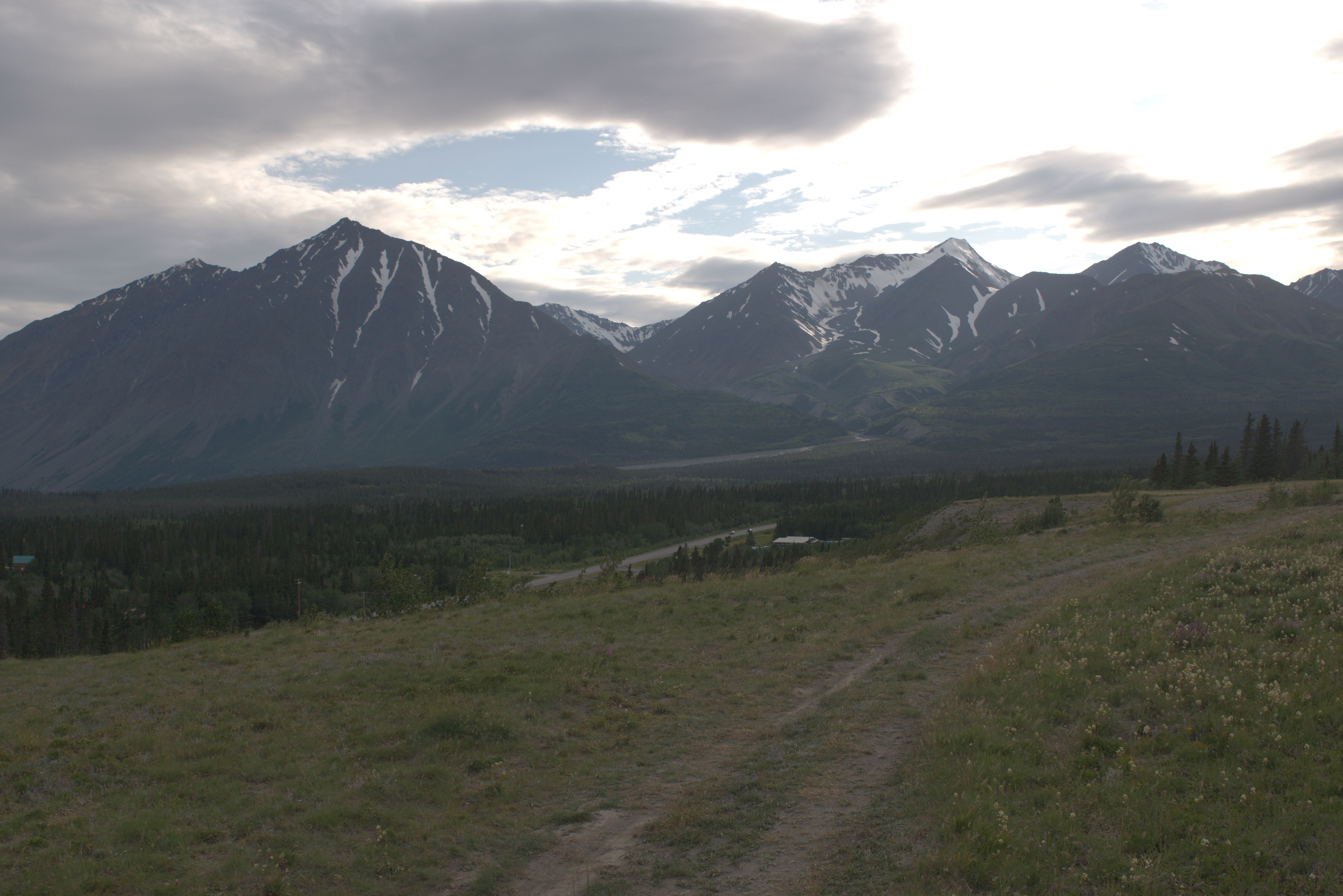
Fantastic views from this place! Strong and blustery winds come from Mt. Archibald, shaking our camper. Getting out of the door requires quite an effort.
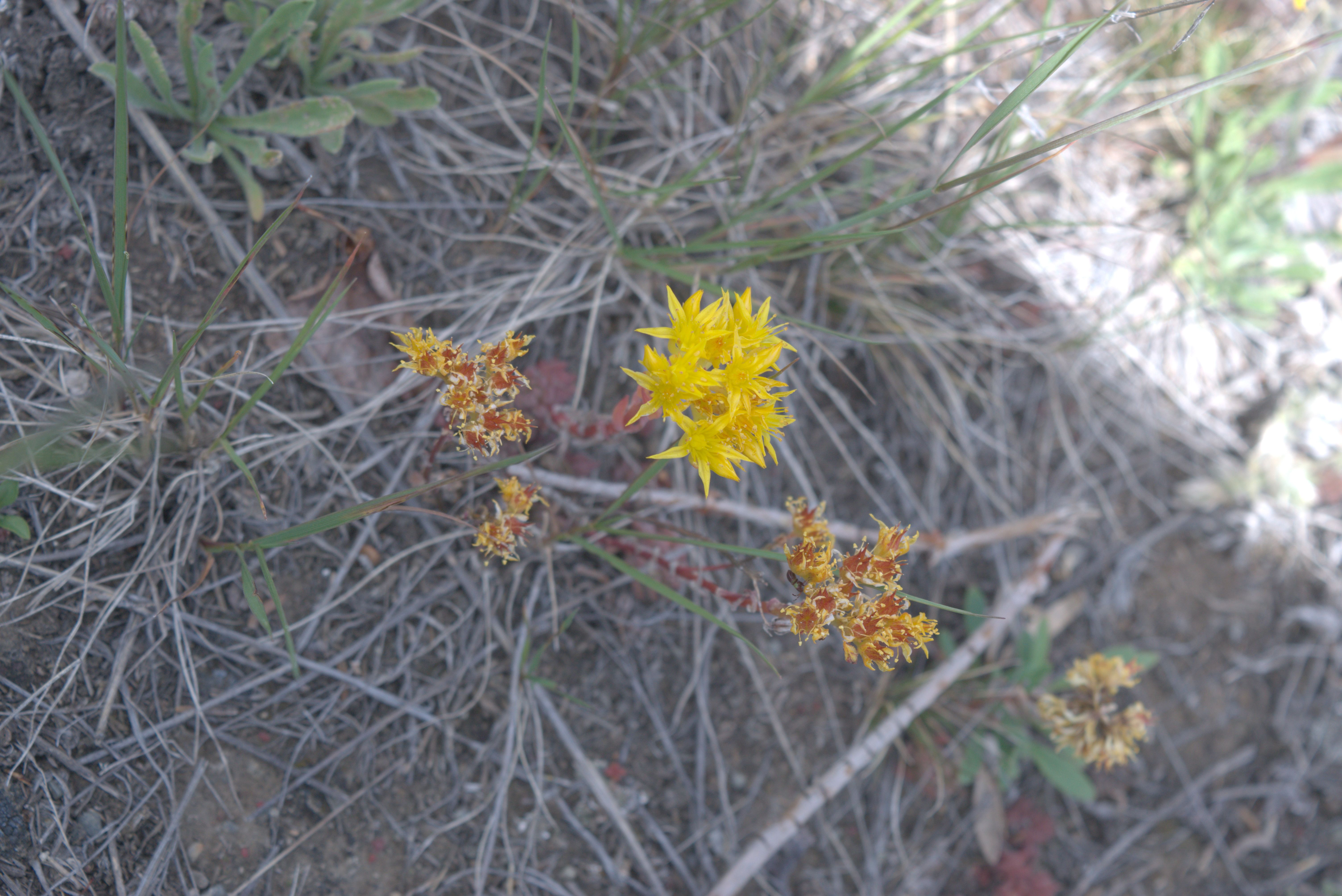
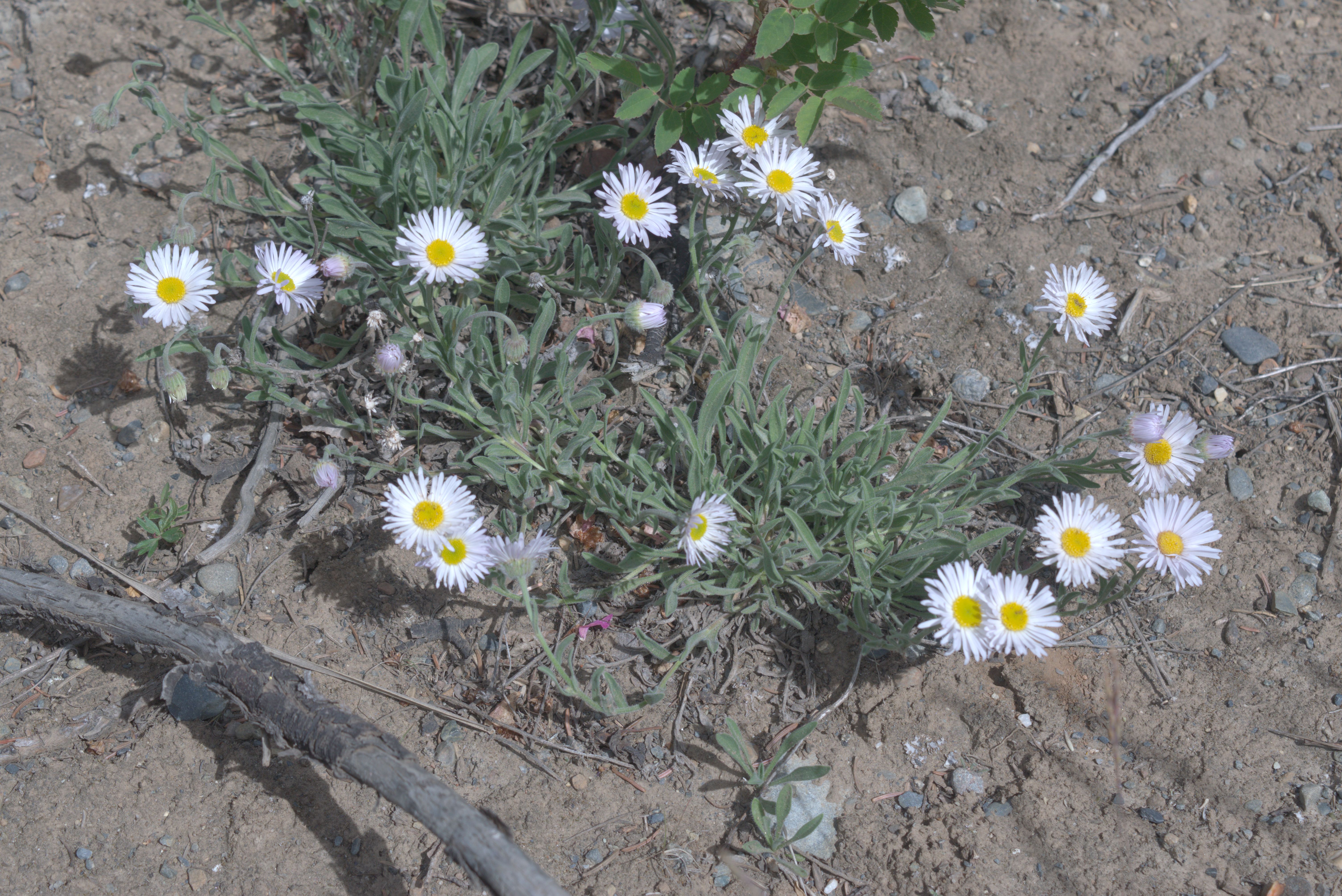
Some believe that hanging this plant in a room drives the fleas out, hence the name. In northern Canada, people often use the term “flea” to refer to all kinds of flying insects.
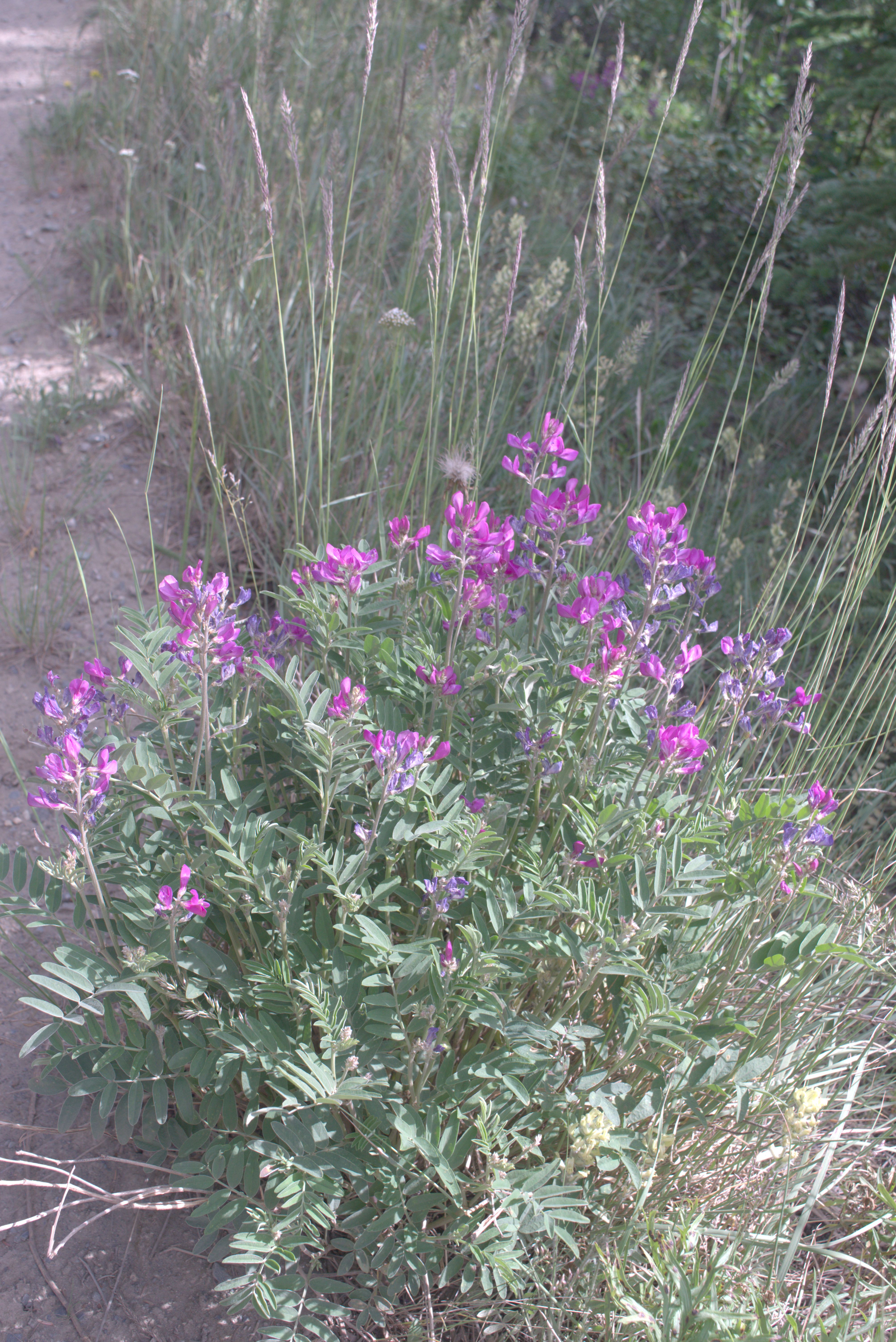
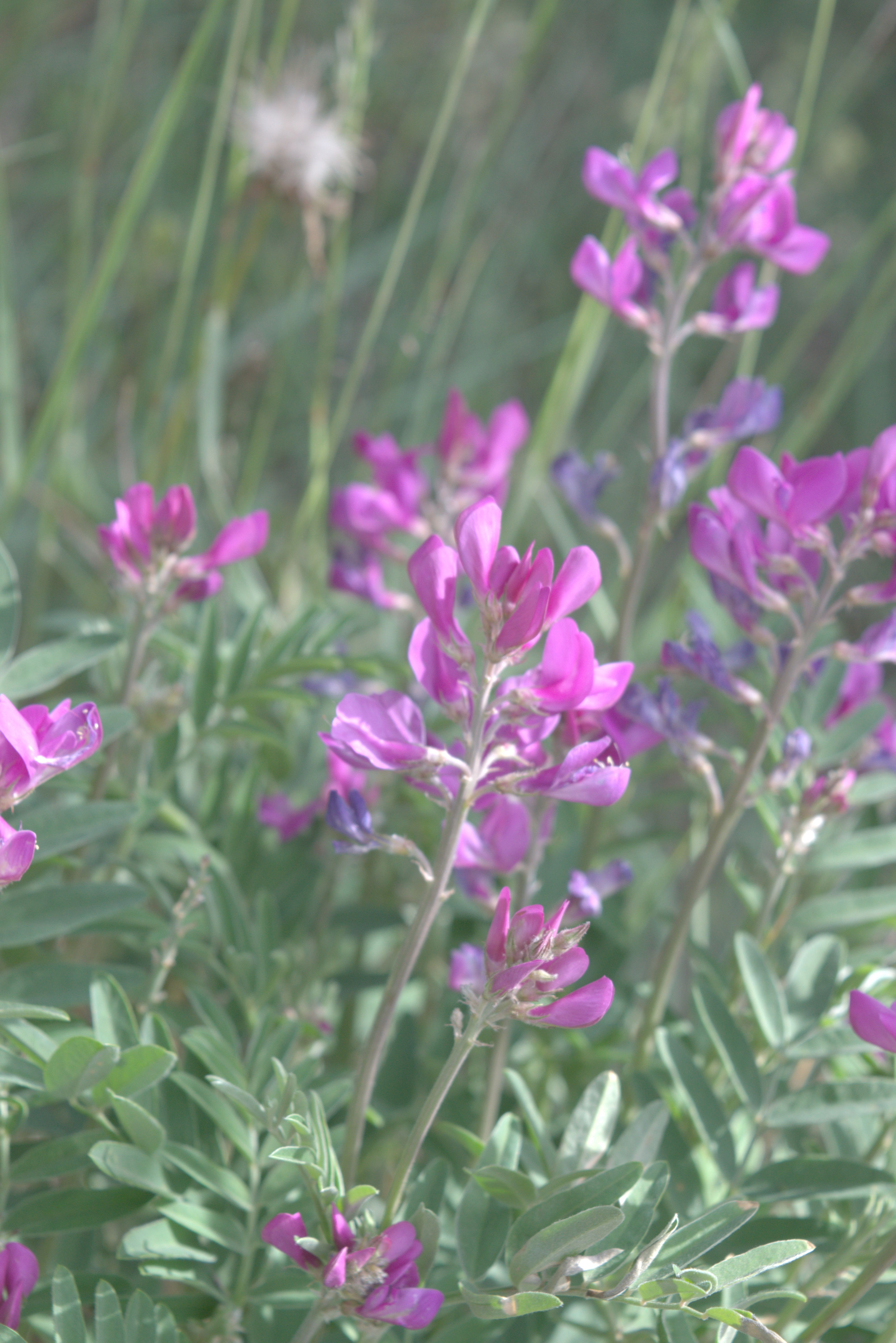
Bear-root, also called Indian Potato, is a colorful plant that often grows in the gravel banks beside the roads. This plant is difficult to differentiate from Northern Sweet-vetch. While Northern Sweet-vetch is poisonous, Bear-root is edible for humans and is also eaten by bears.
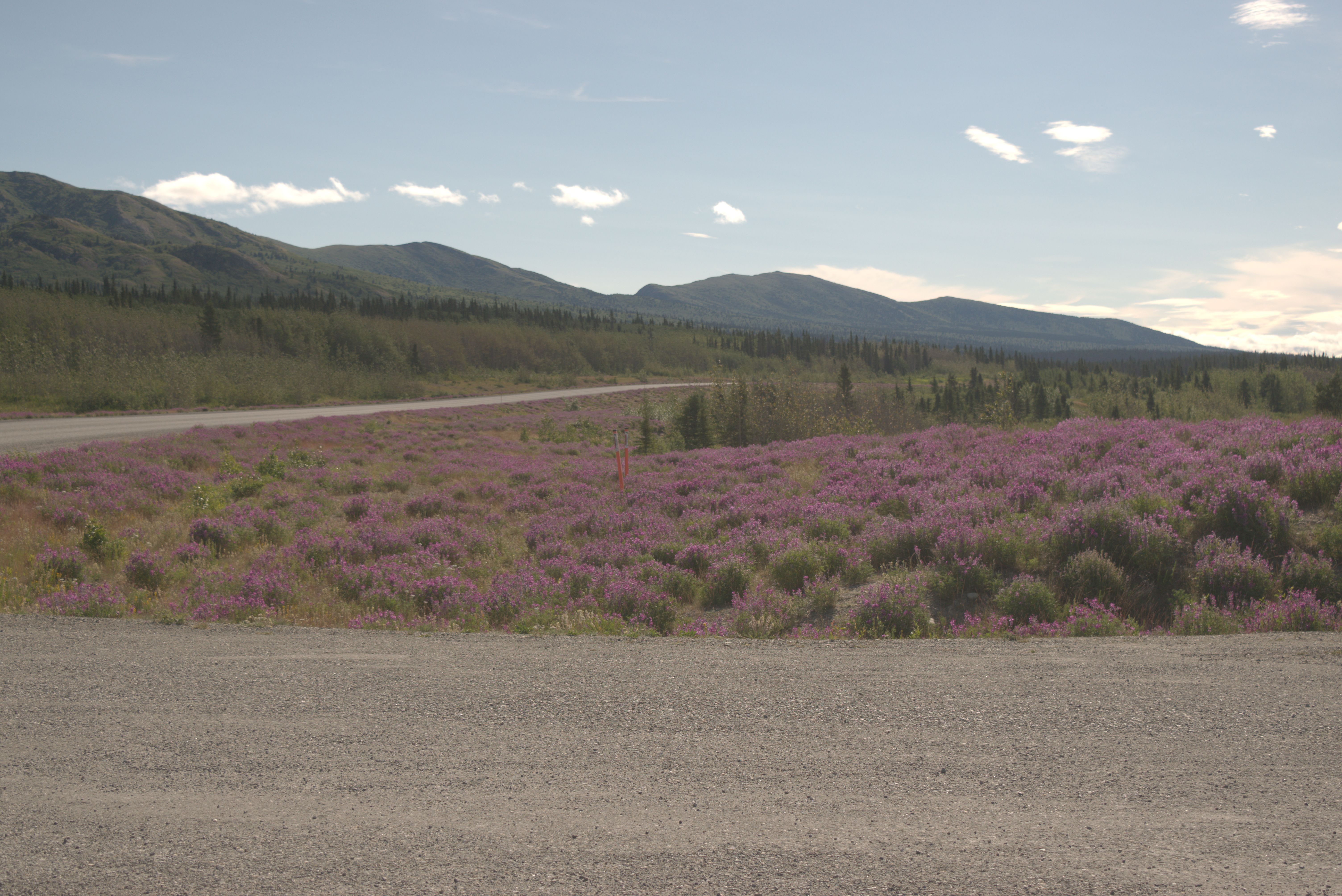
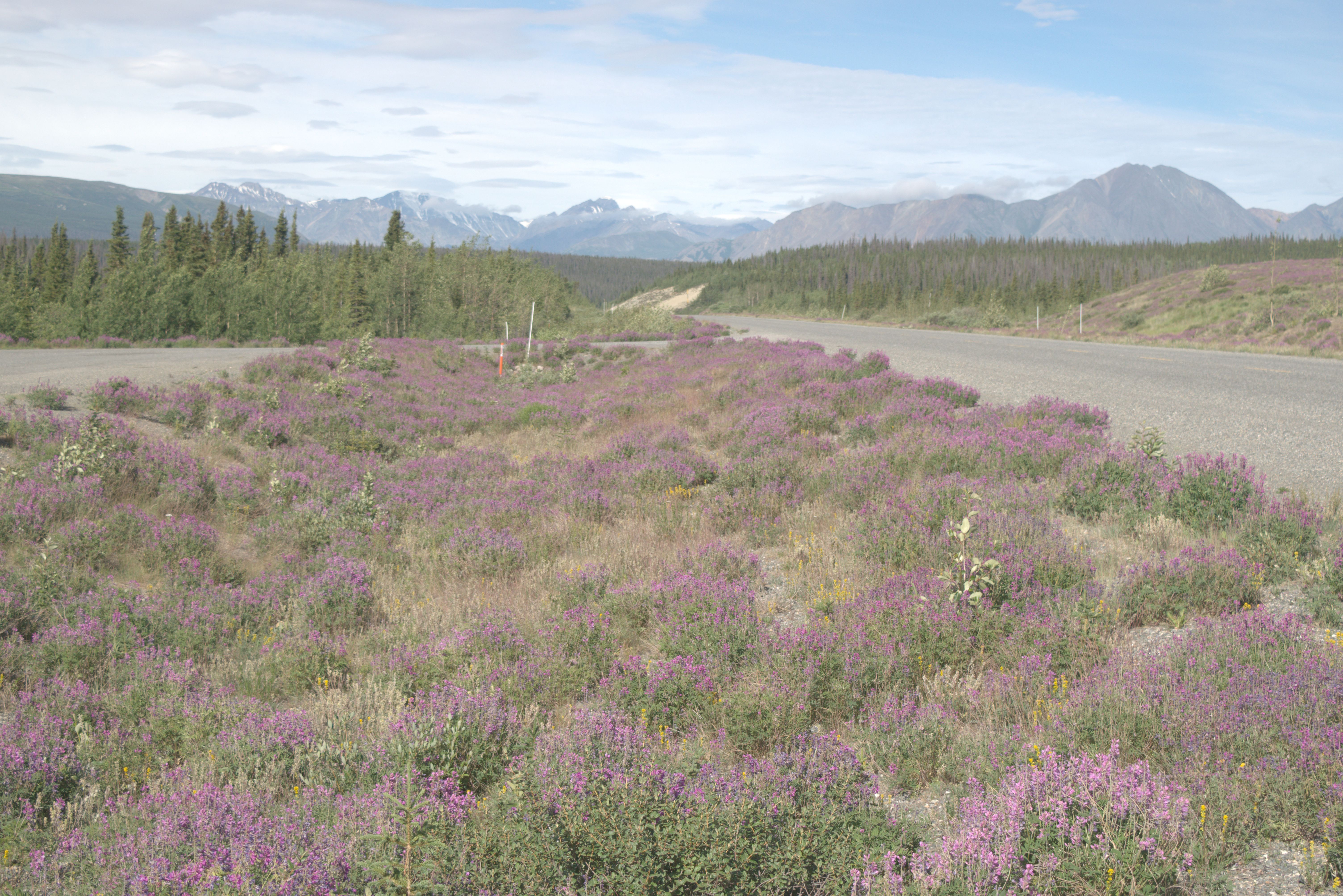
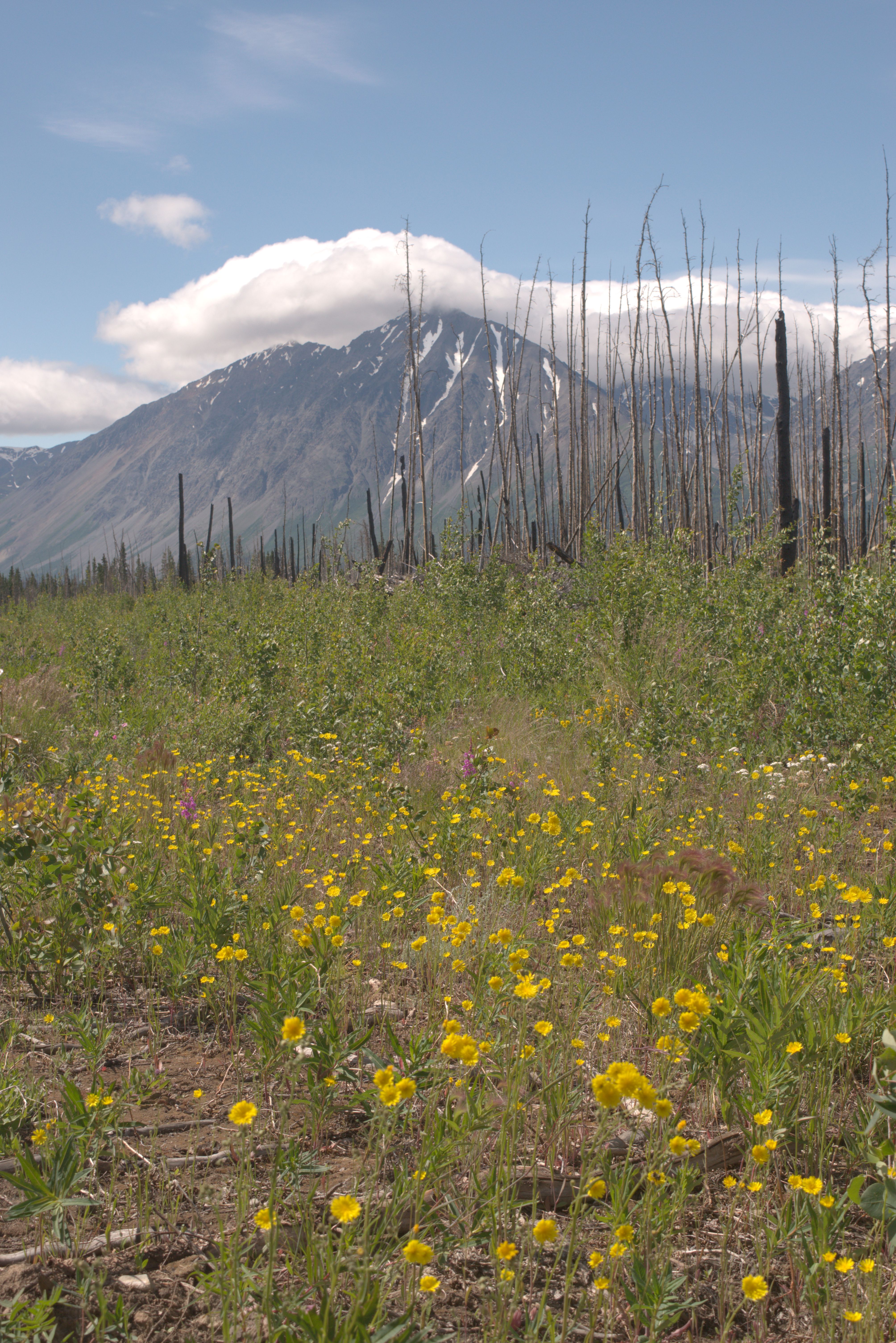
Heading north on the Alaska Highway toward Silver City and the northern Kluane Visitor Center, named Thech’al Dhal, where Ä’äy Chù (Slim’s River) flows into Kluane Lake. The water levels of Slim’s River dropped dramatically in 2016 due to changes at the mouth of the Kaskawulsh Glacier. Now, vast areas of sandy former riverbeds are exposed, and the sometimes strong winds coming from the mountains stir up large sandstorms blowing toward Kluane Lake.
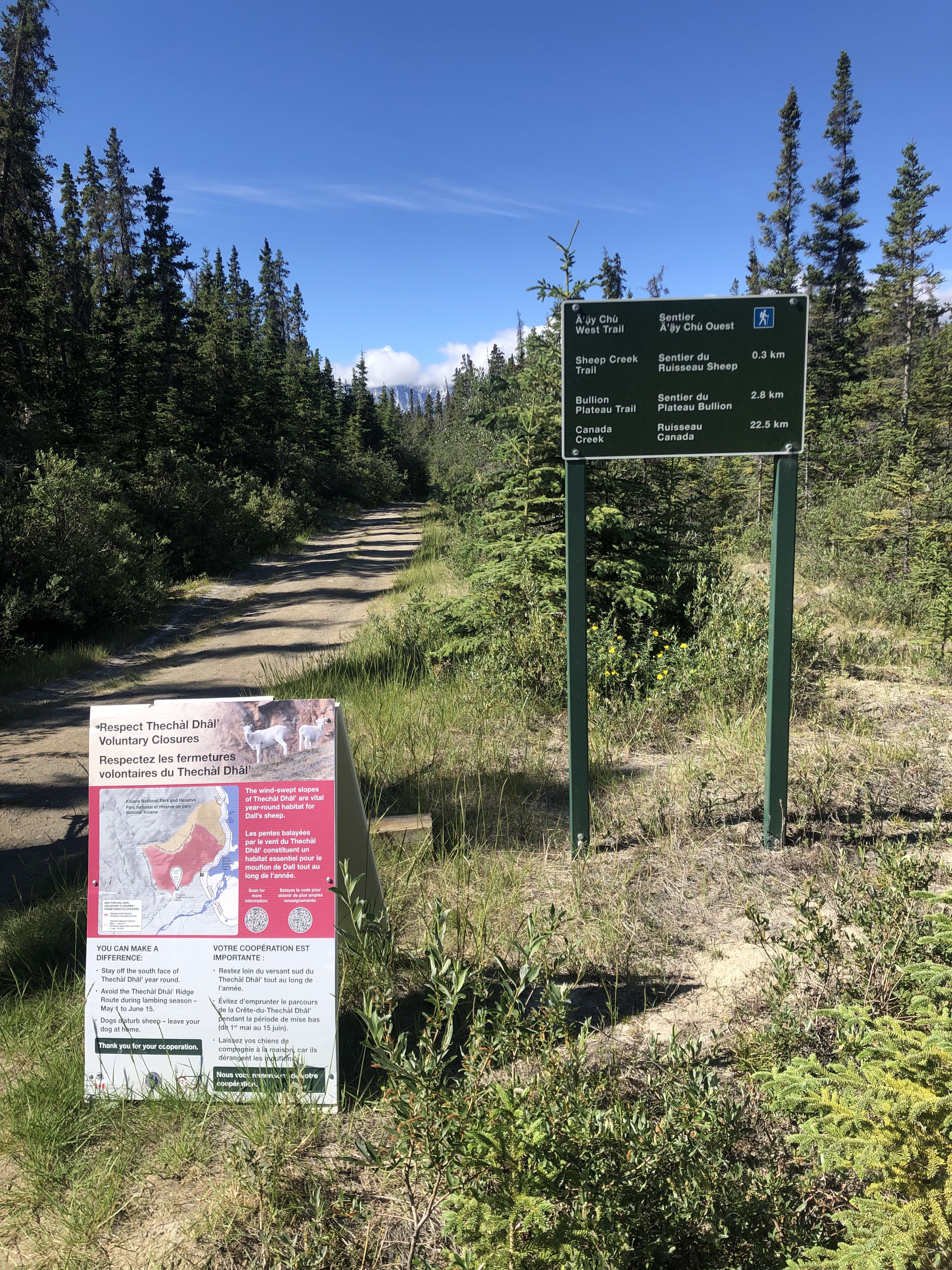
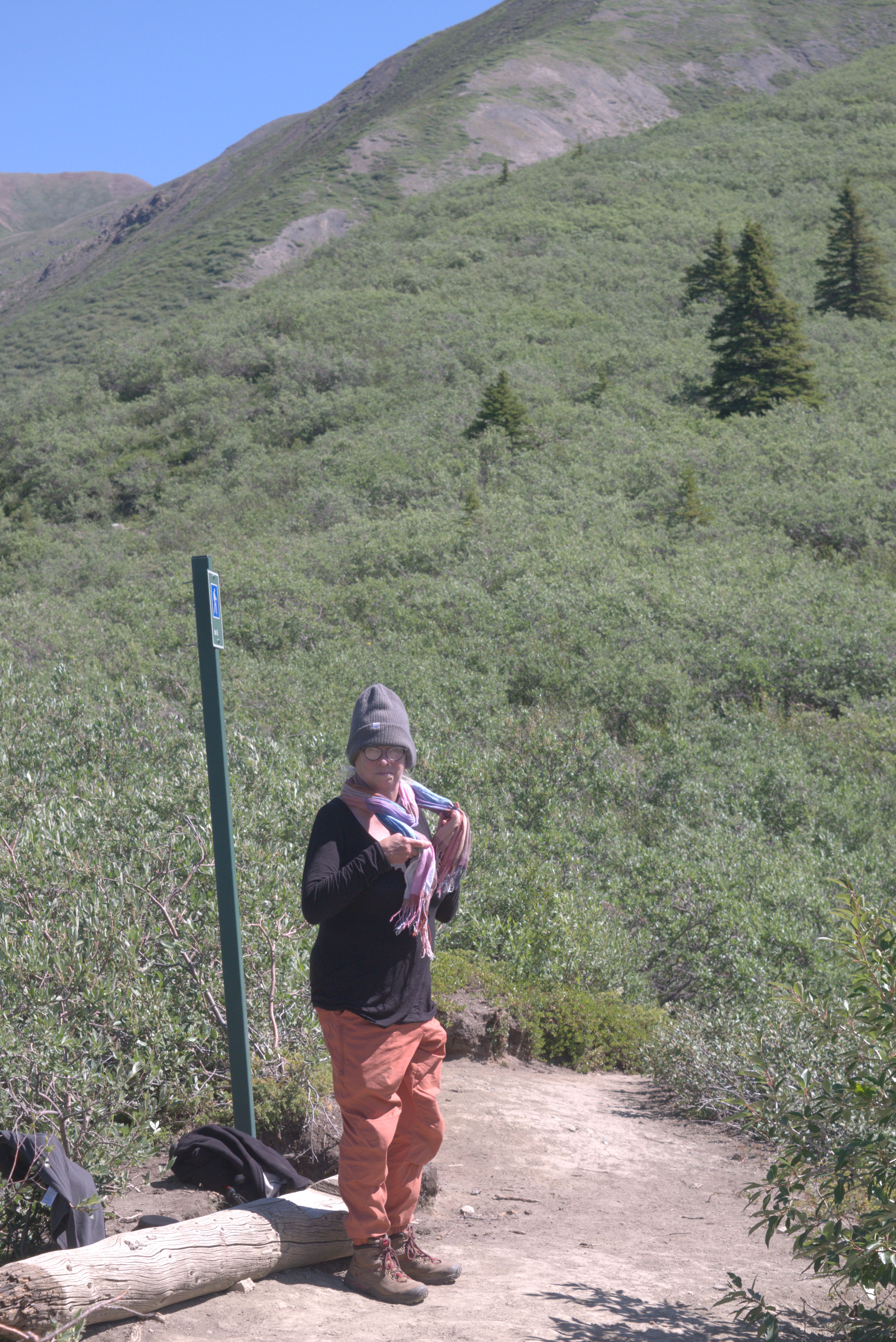
The beginning of the trail is very sandy. Like the King’s Throne trail, this is one of the more popular trails, and many feet have stomped the sand into dust.
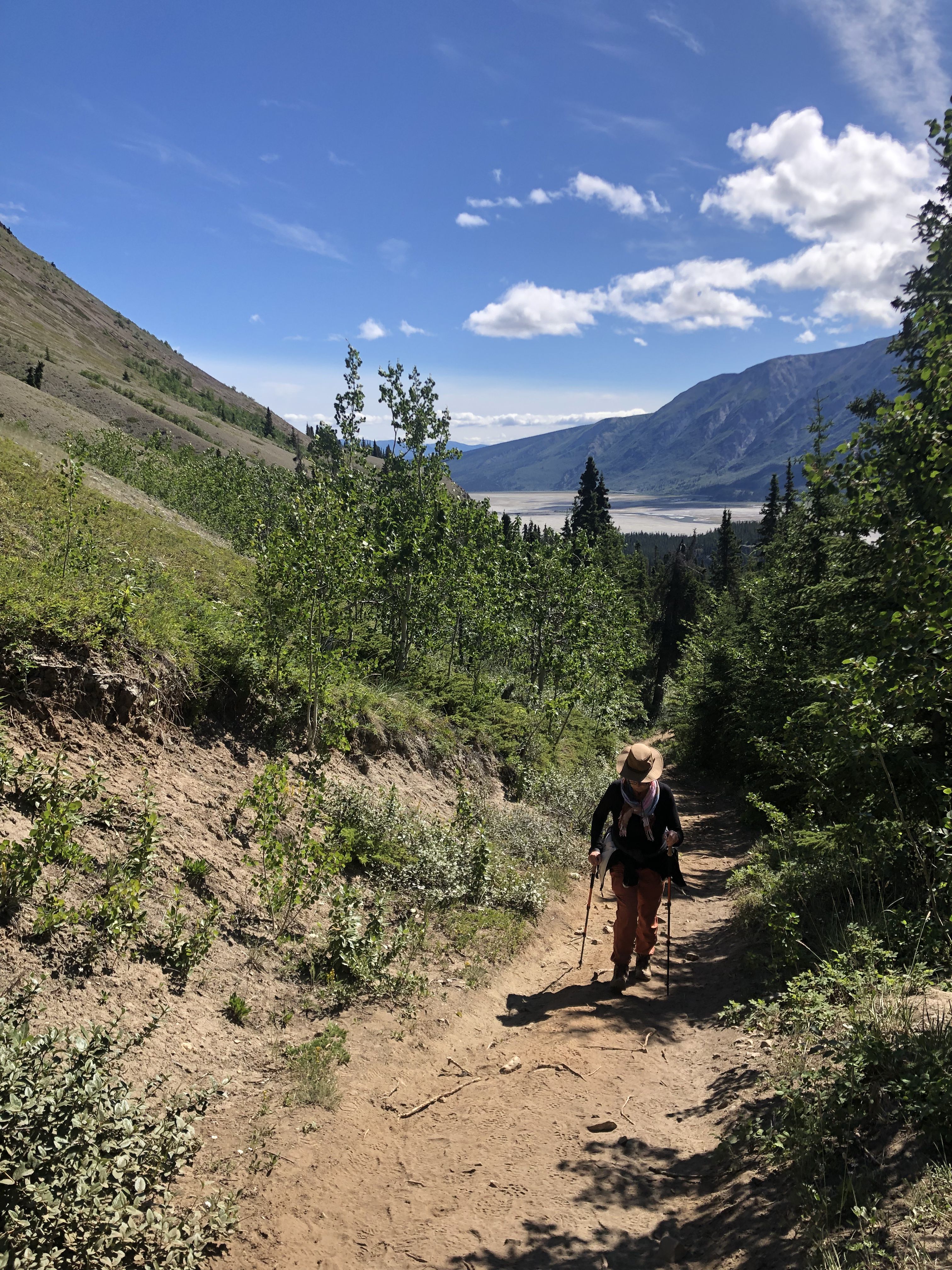
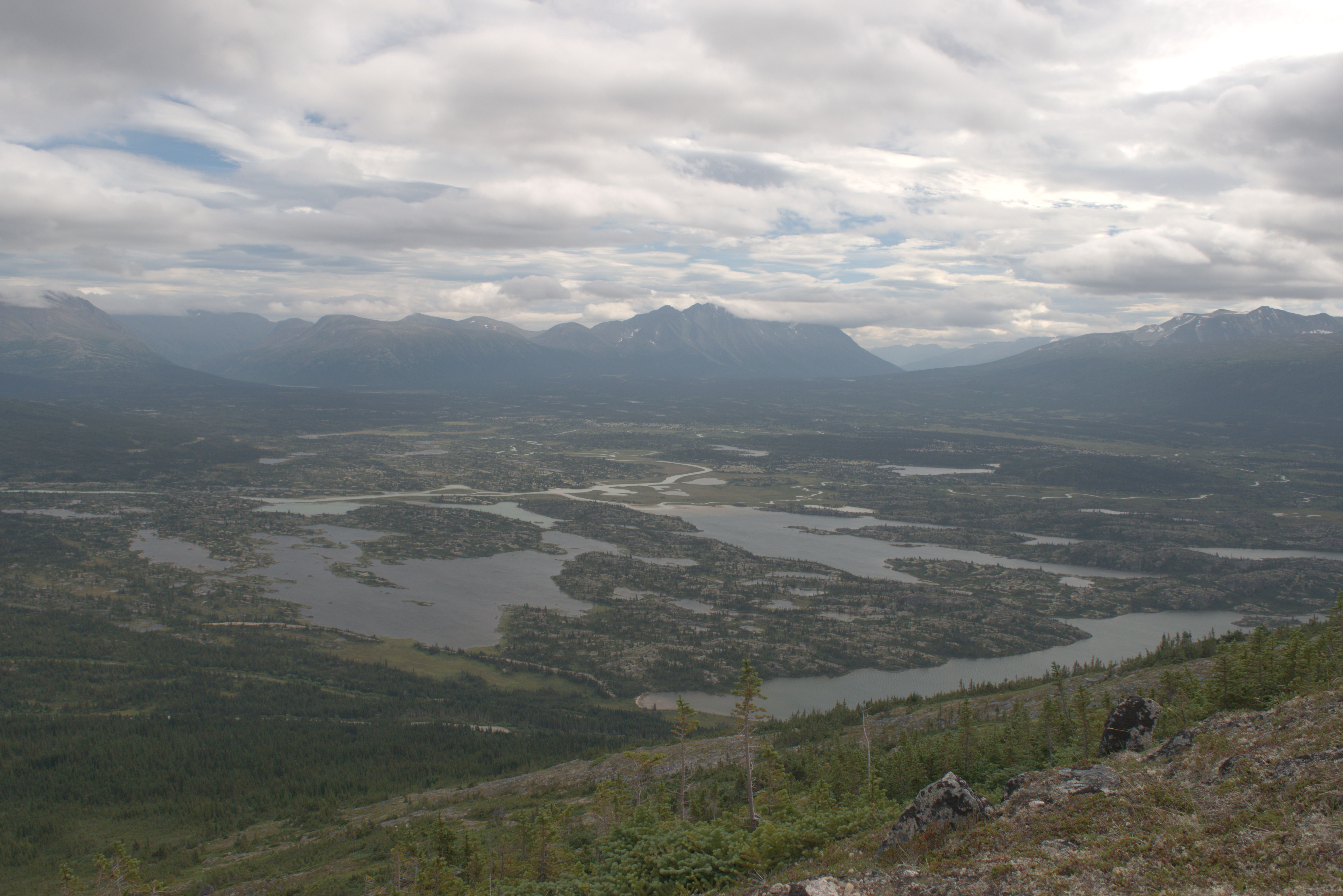
After gaining some elevation on the trail through the forest, beautiful vistas begin to open up.
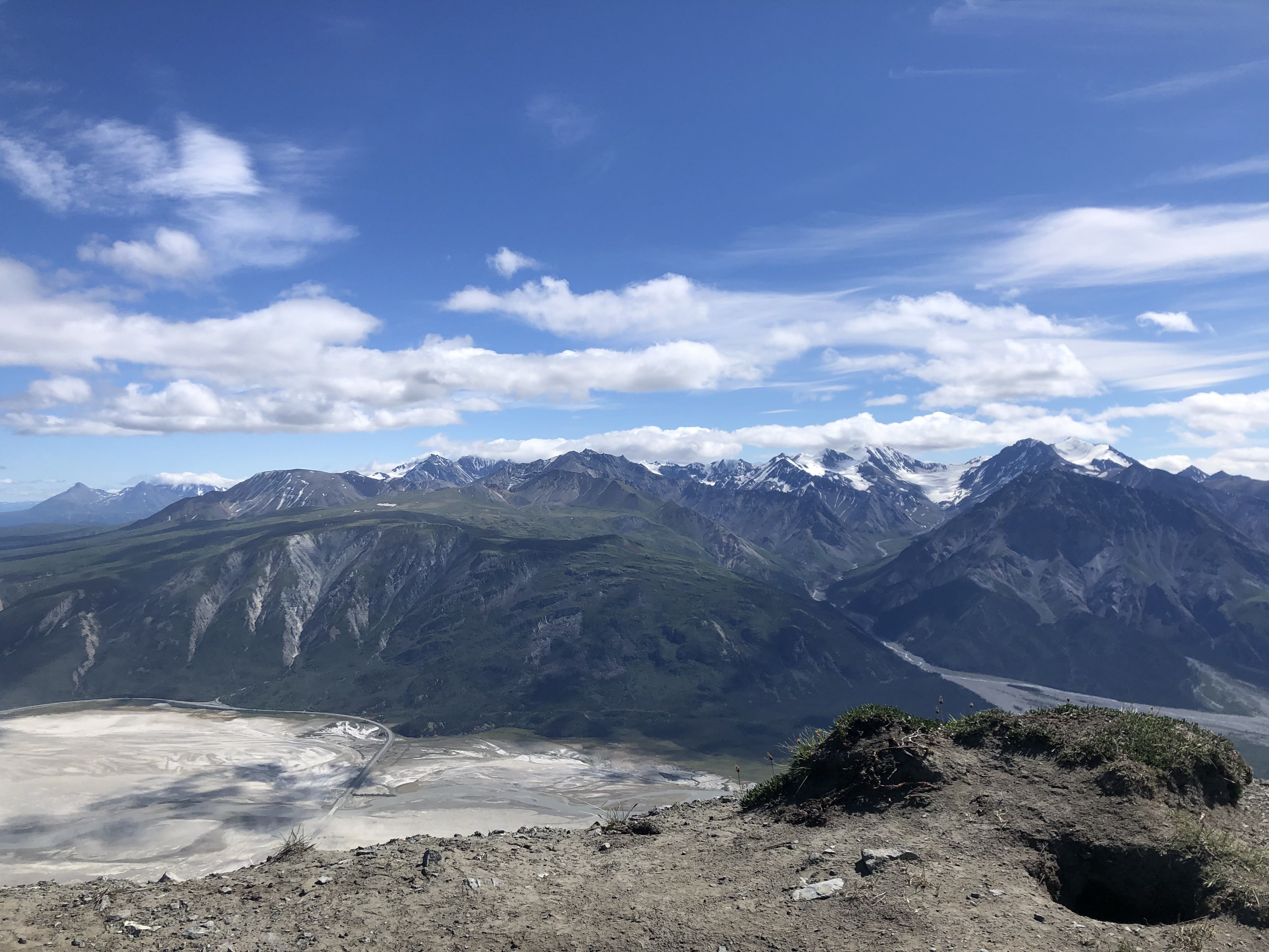
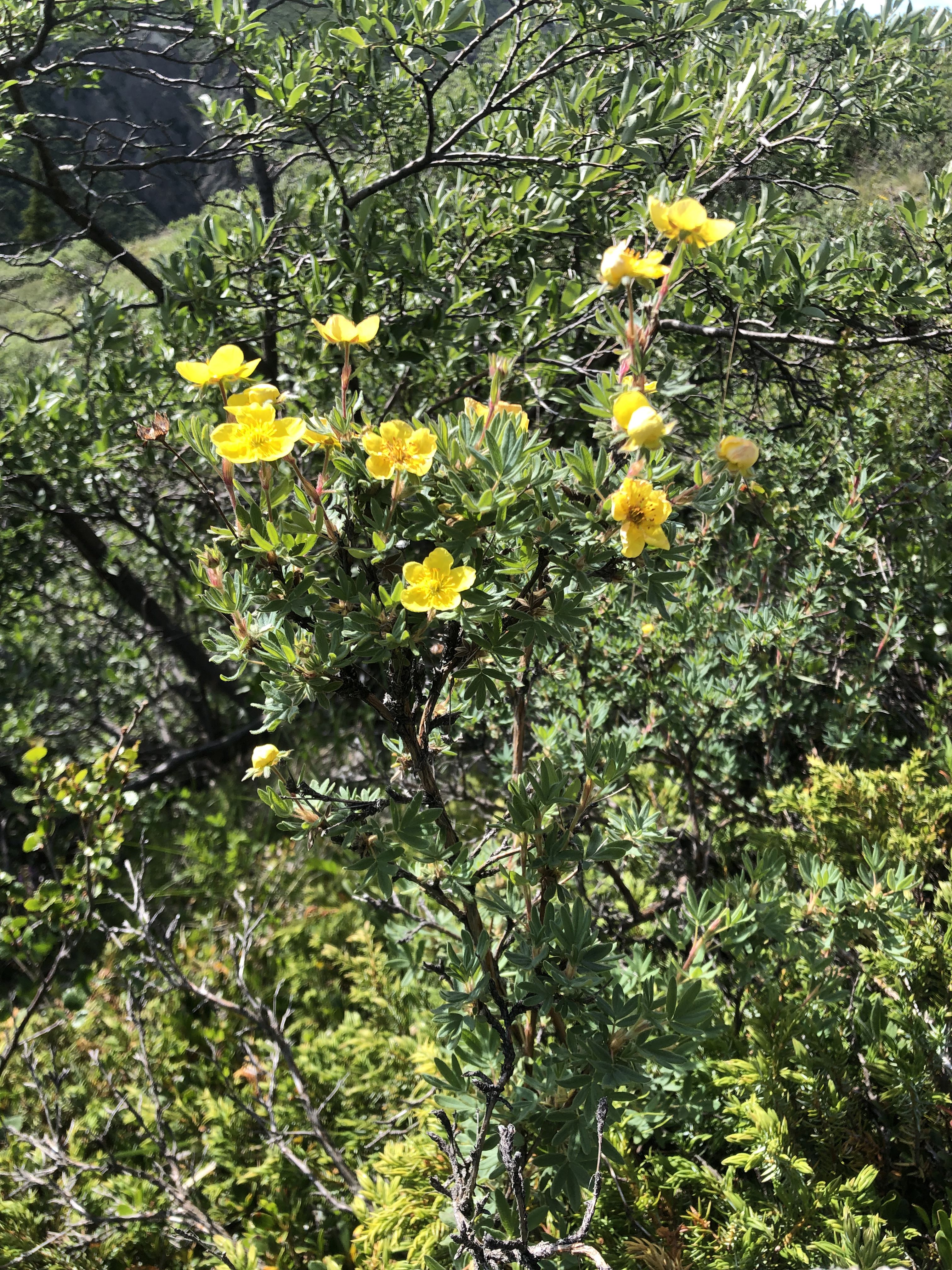
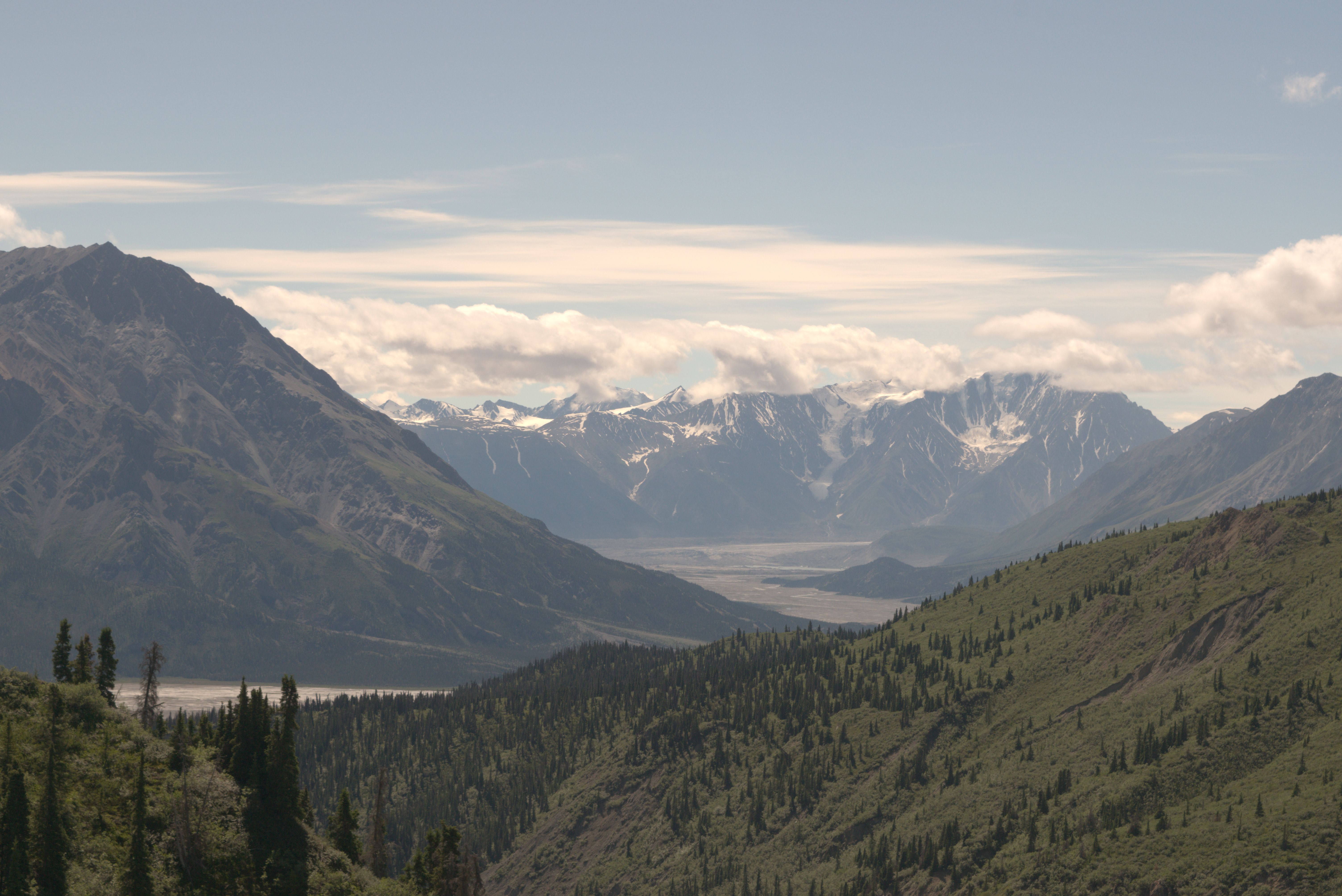
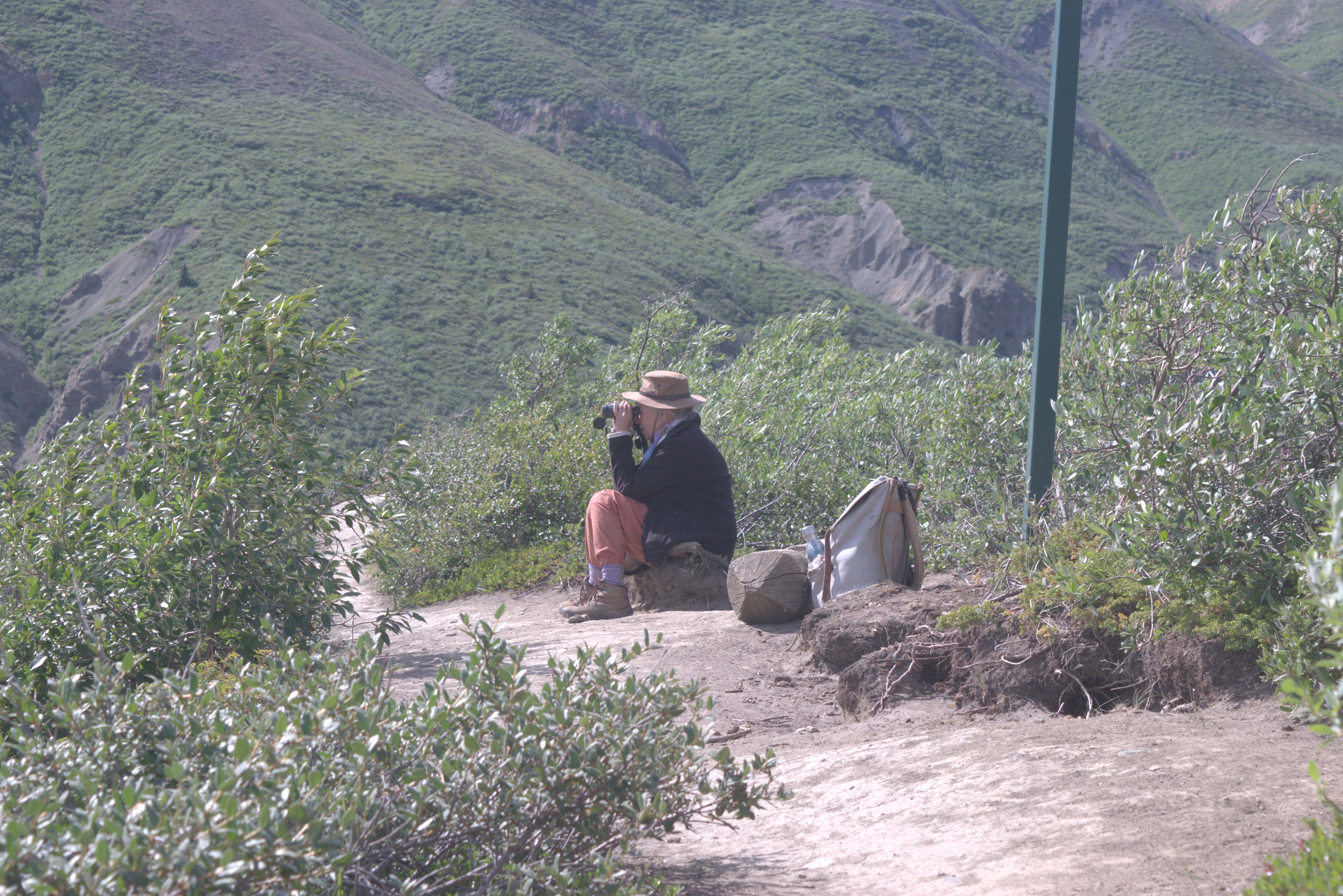
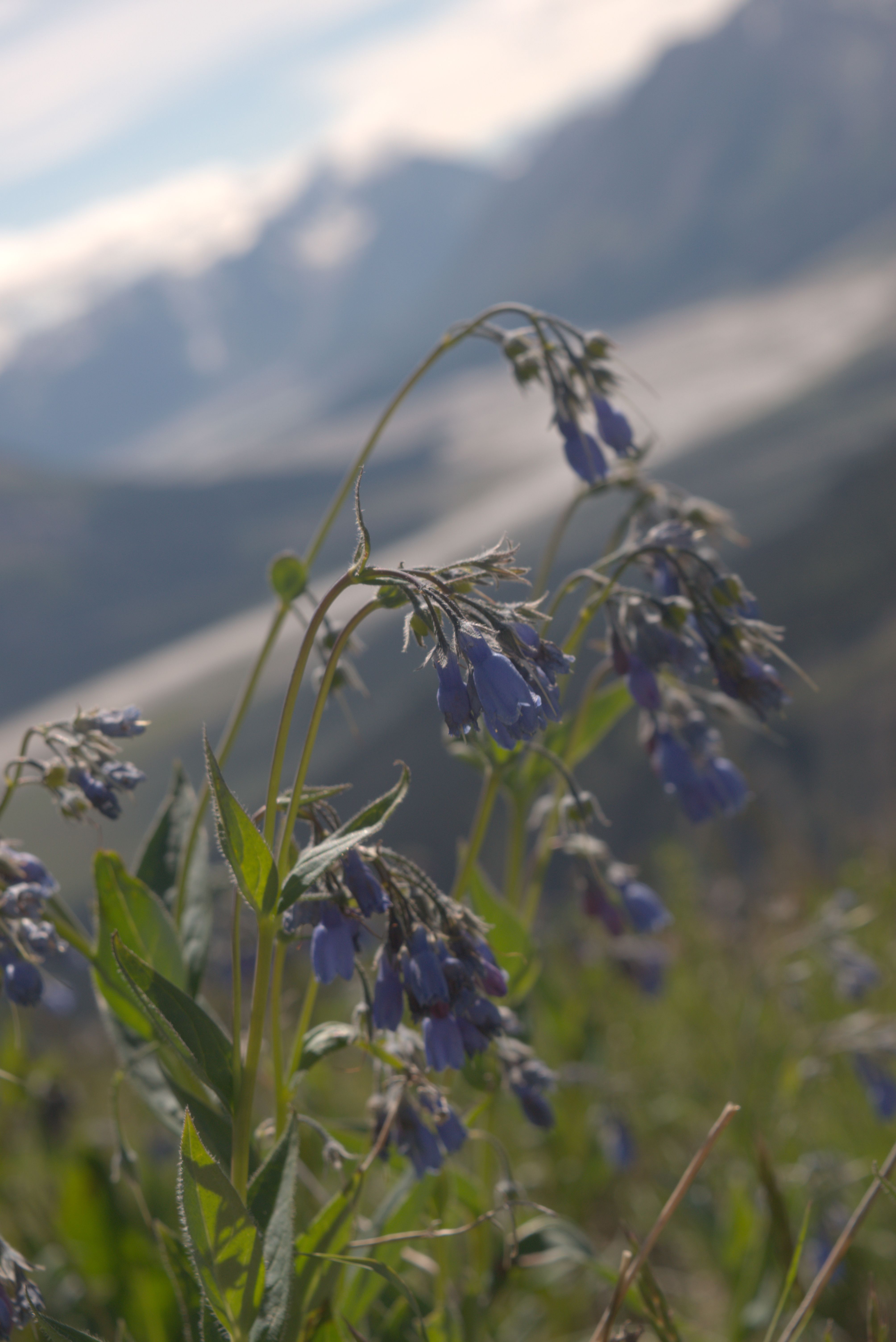
The steep climb to the top of Thechál Dál was a challenge, not only for my fitness but also for my nerves. Some sections were so steep that I had to focus straight ahead to avoid feeling giddy.
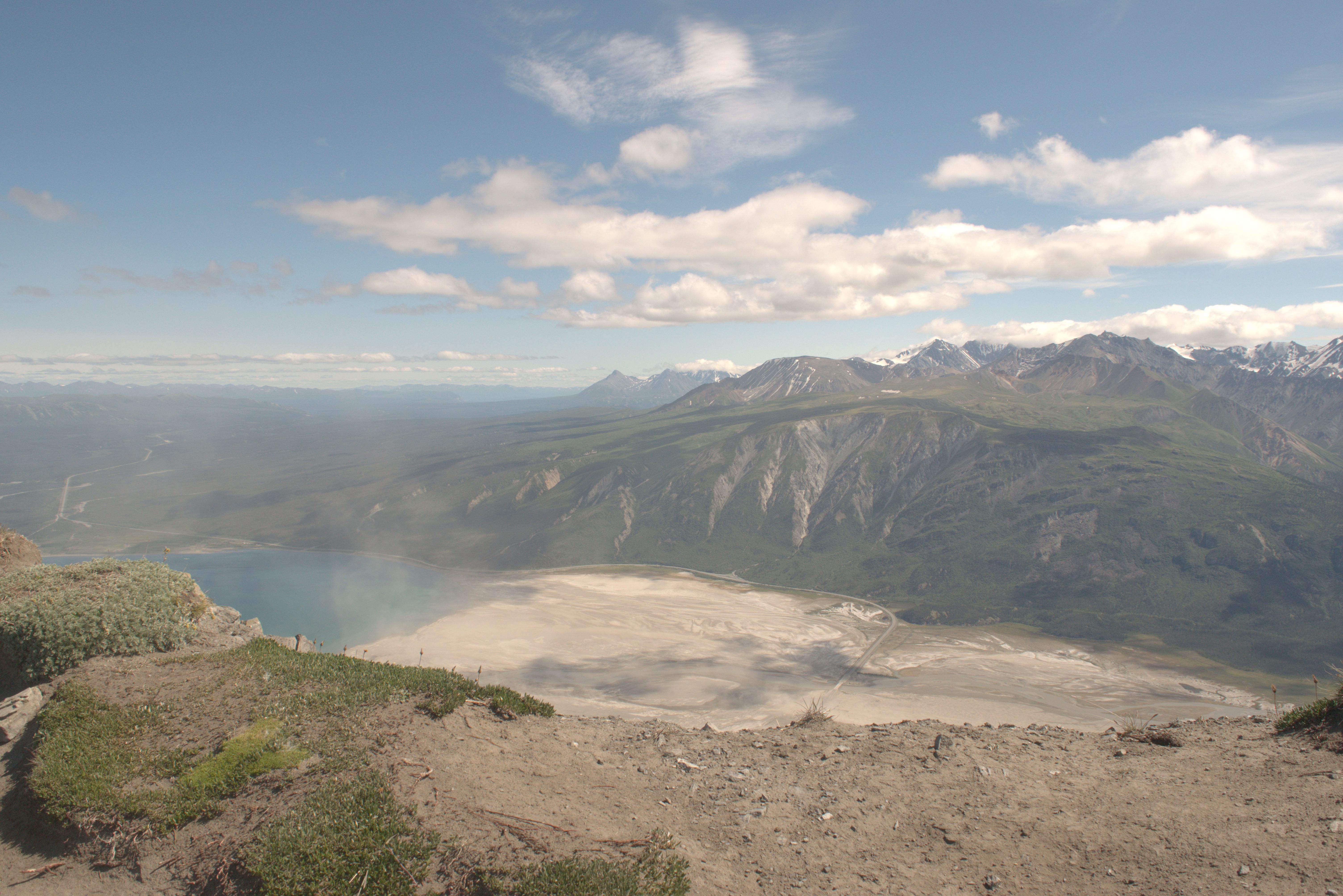
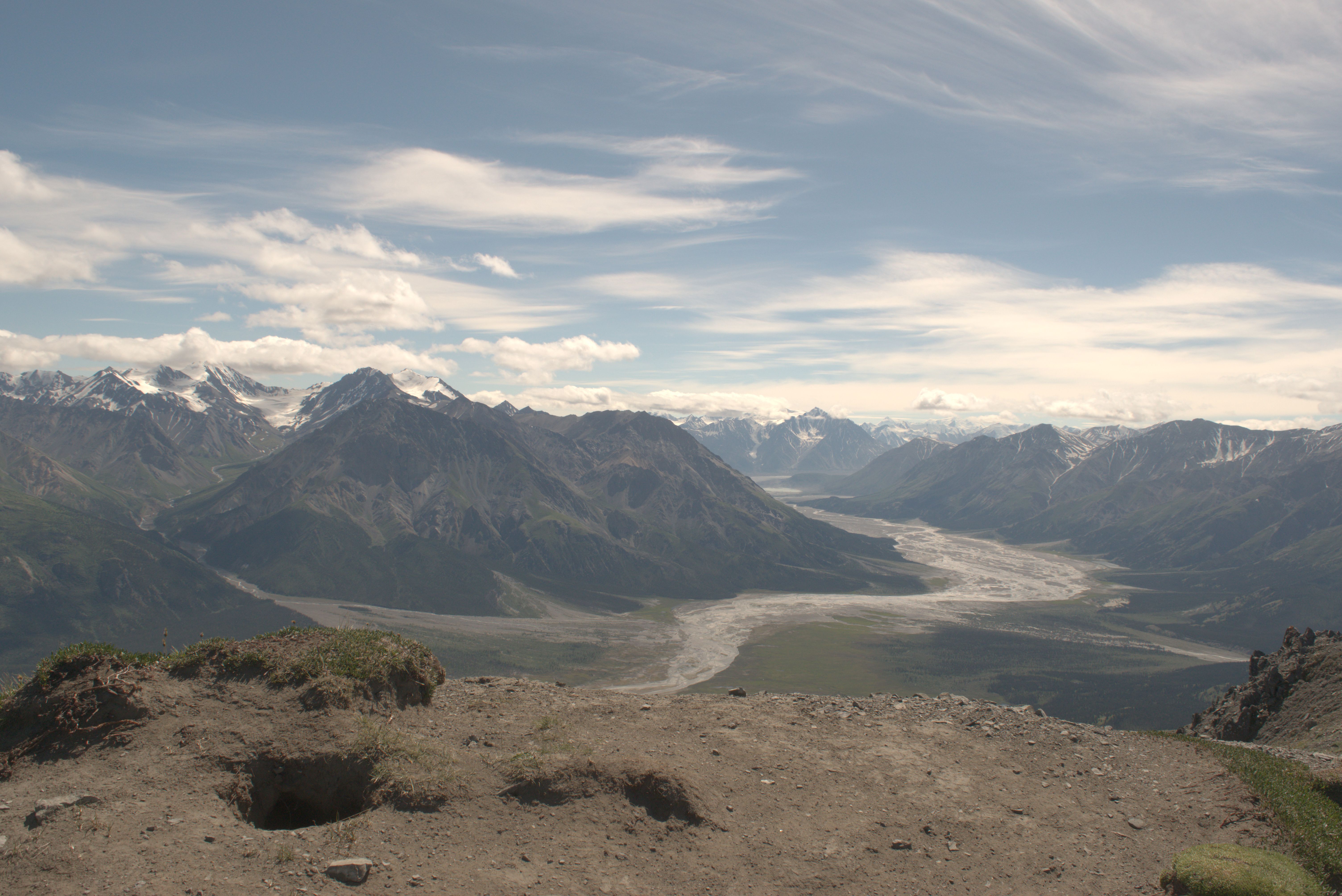
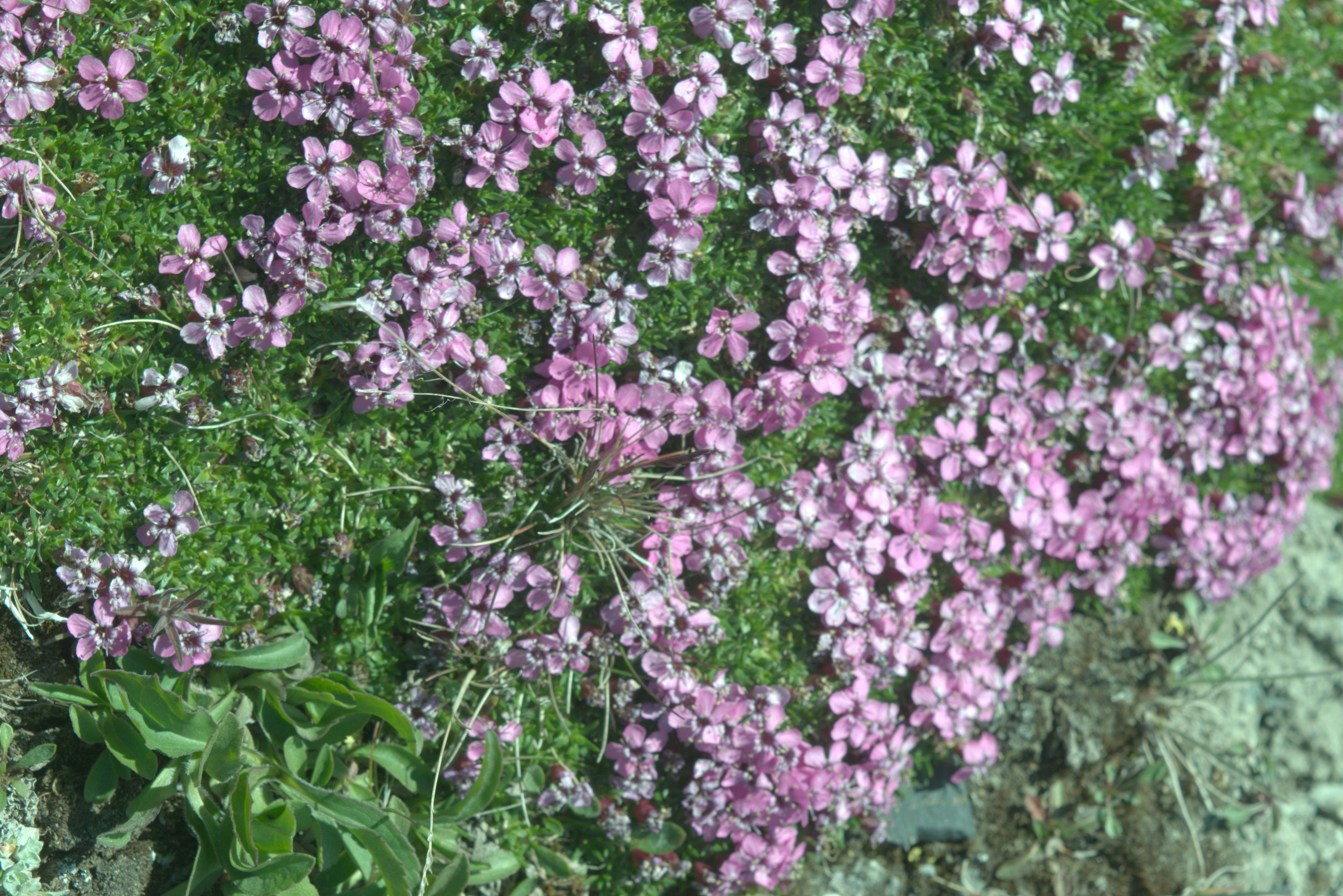
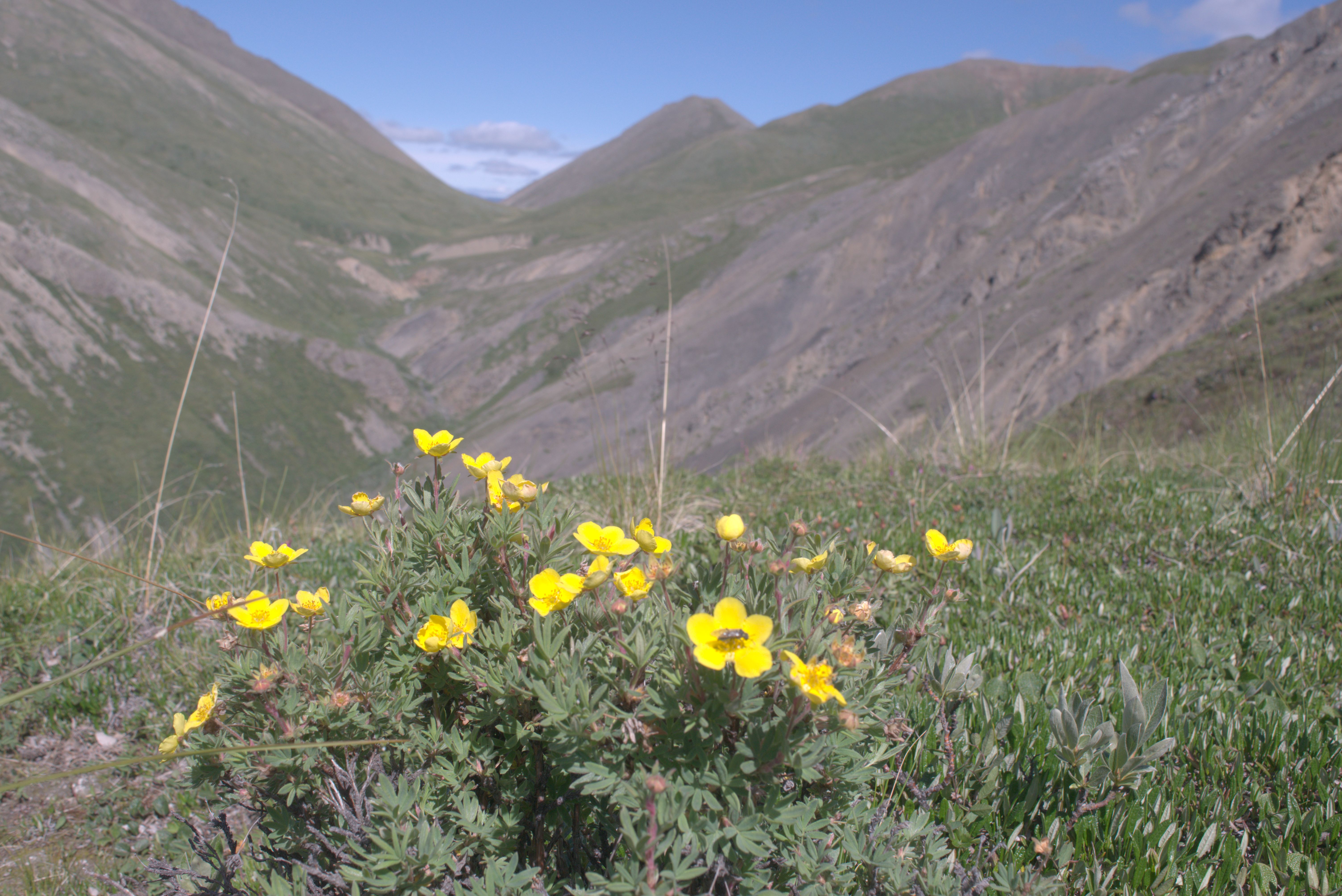
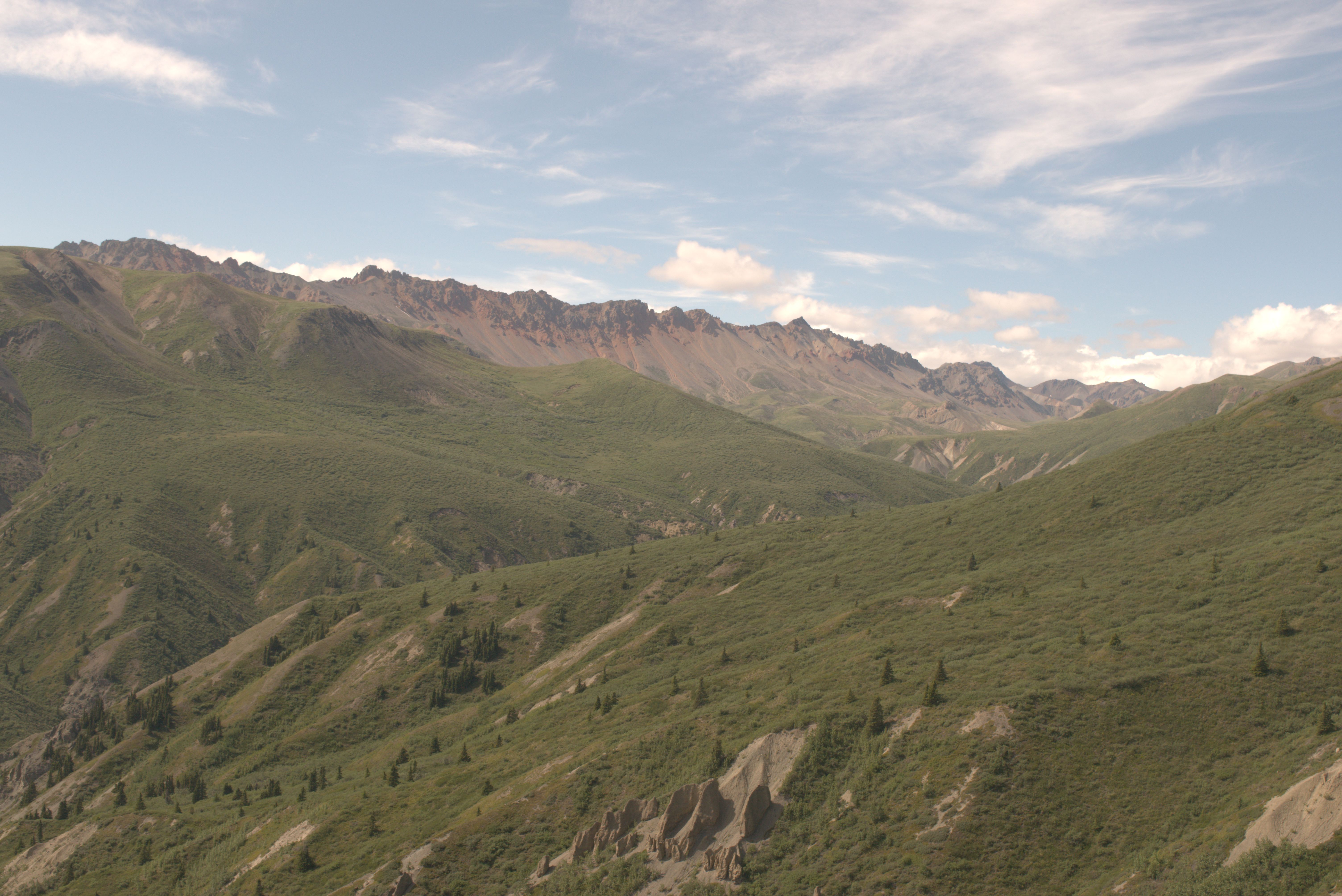
For the night, we stayed near the Soldiers Summit Trailhead on the shore of Kluane Lake.
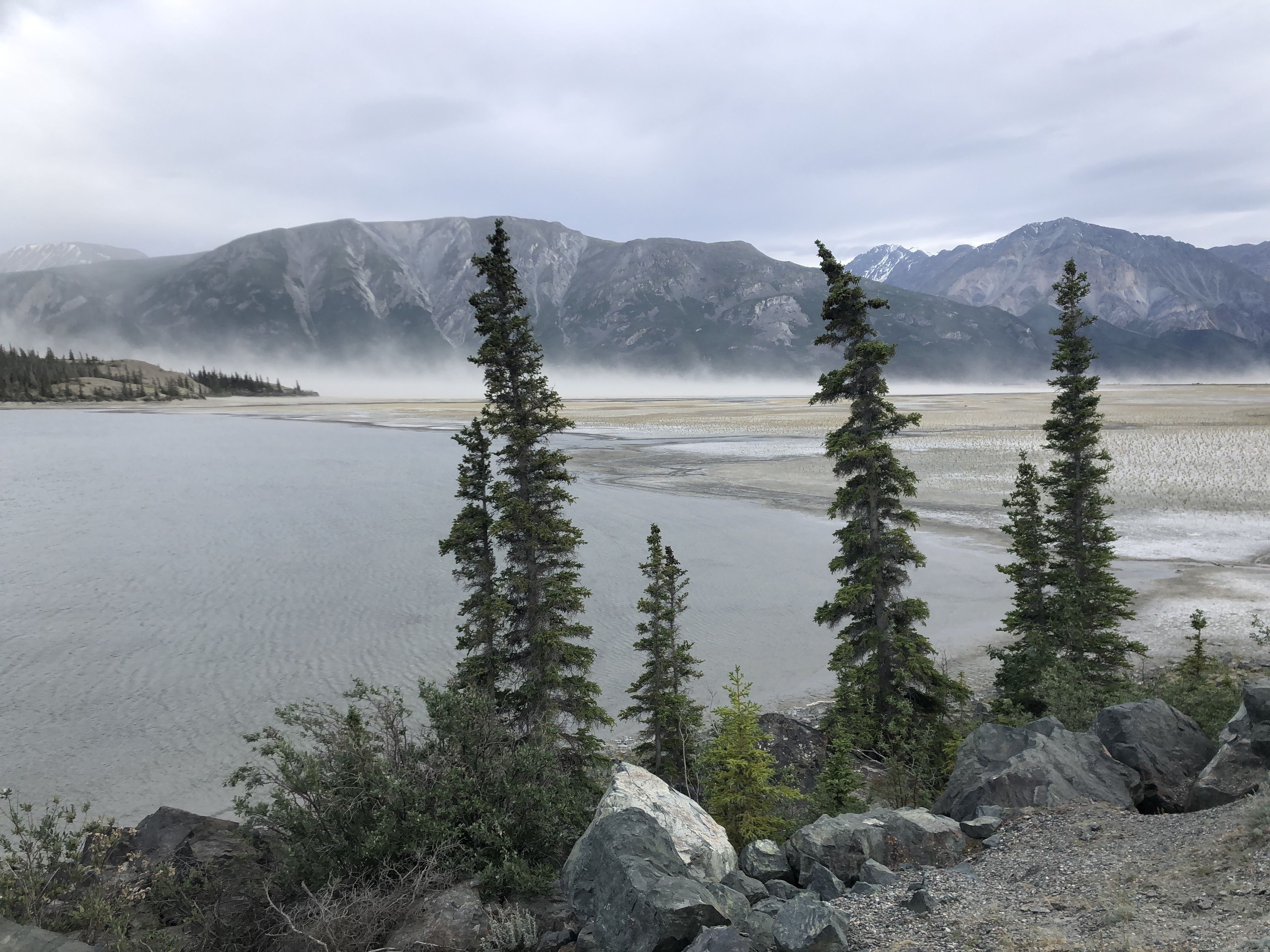
The next day, Susi focused on looking for sheep and resting, while I hiked the Bullion Trail.
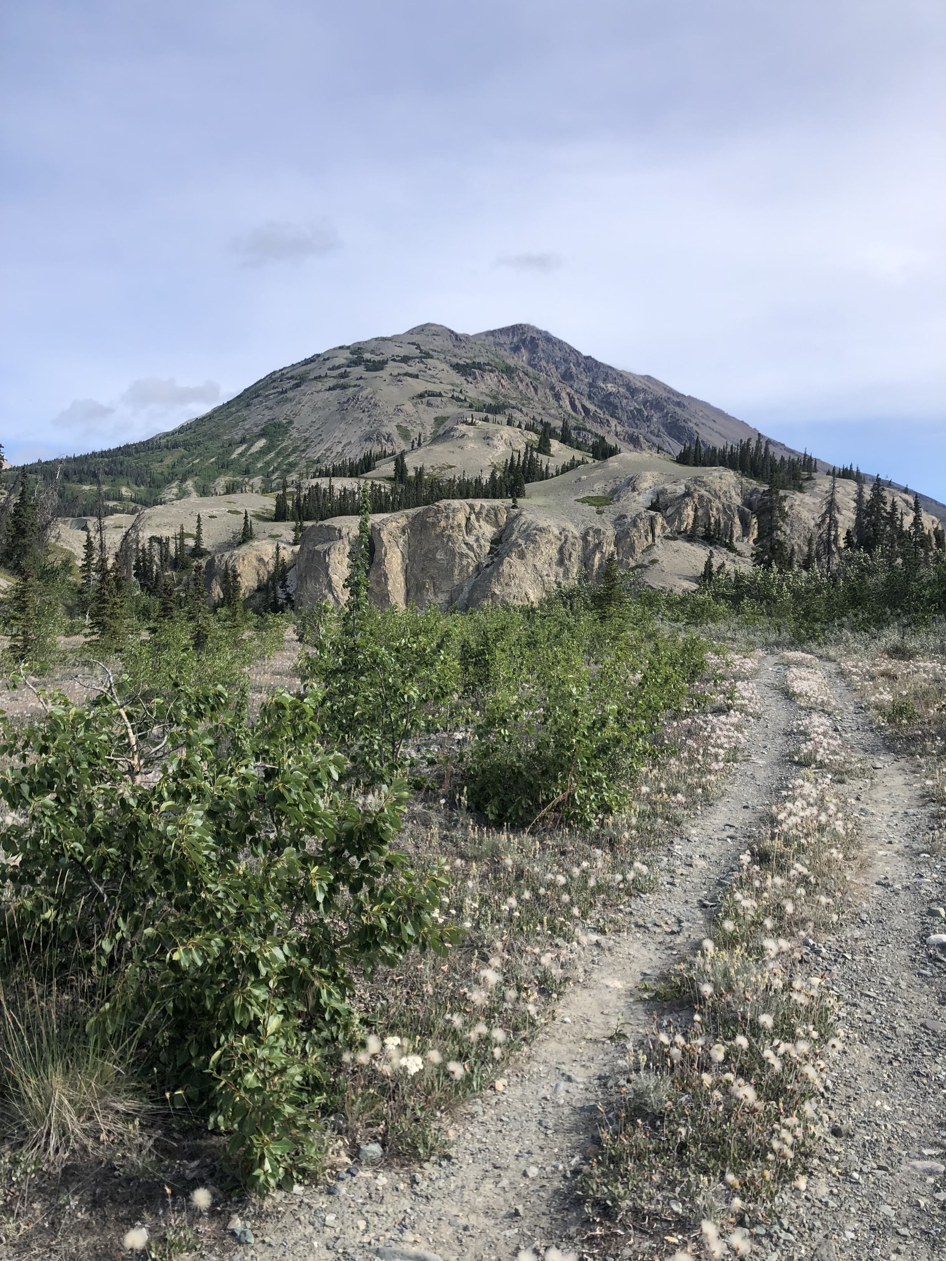
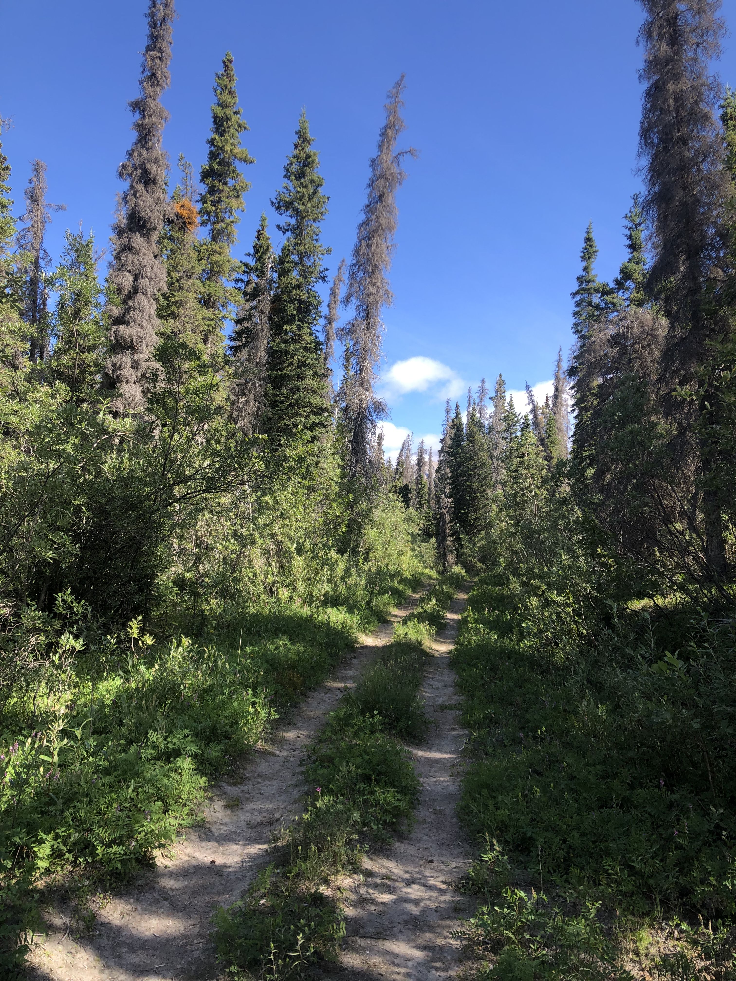
A pleasant trail winds through the forest up to the Bullion Plateau.
Back in Whitehorse, we splurge on dinner at the Big Bear Tap House. In addition to upscale pub food and great beer, they specialize in quirky bathroom signs.
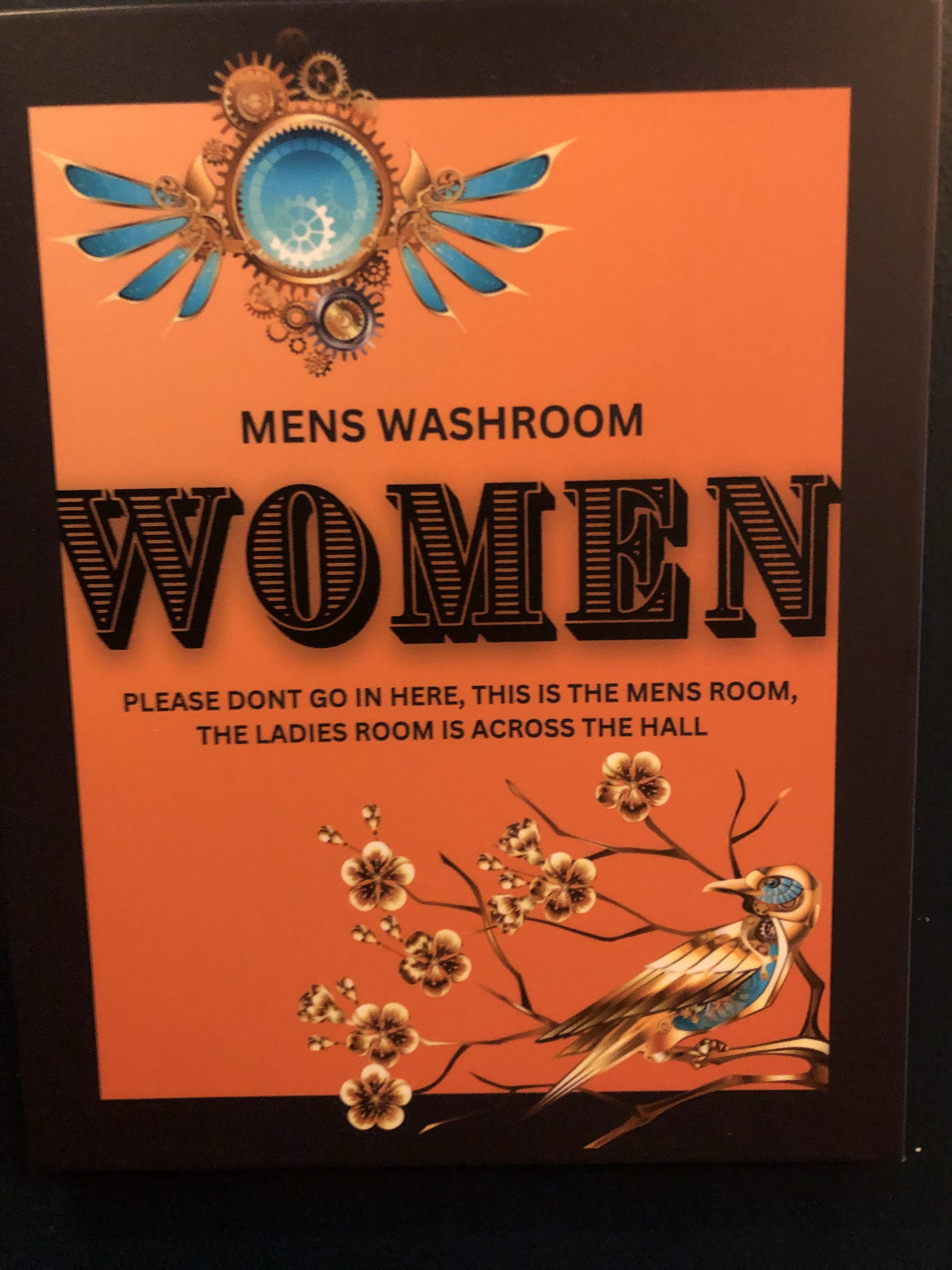
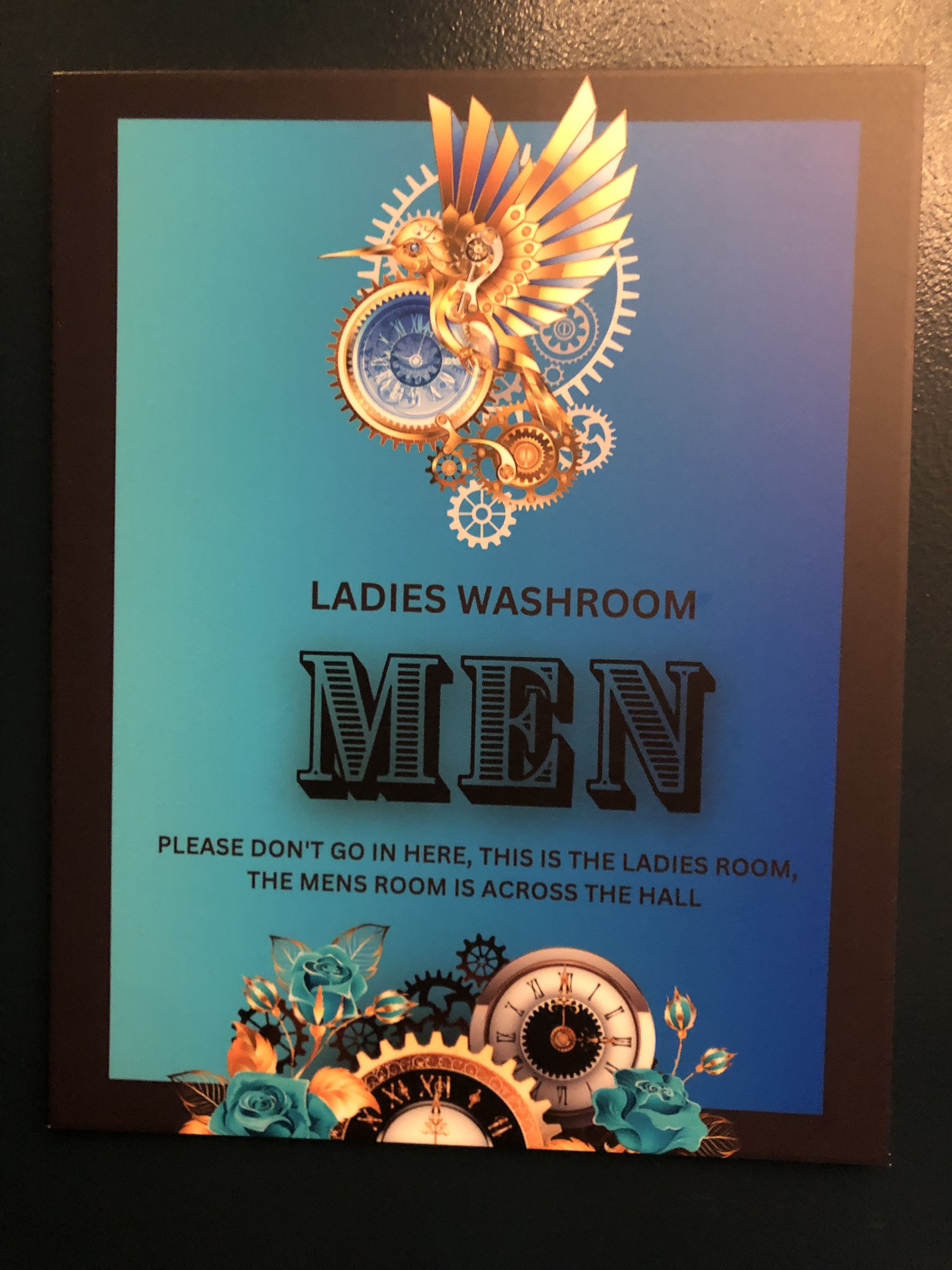
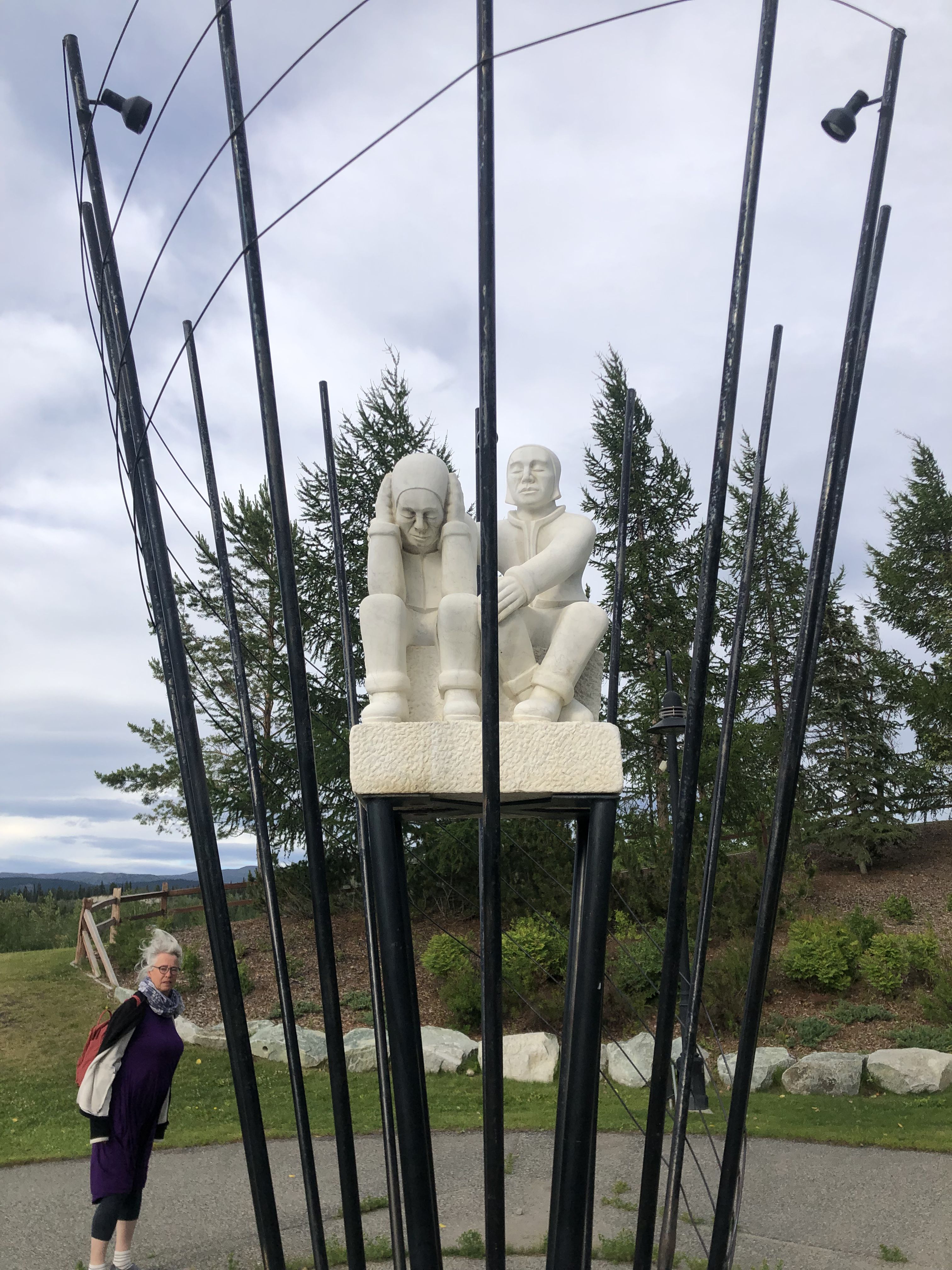
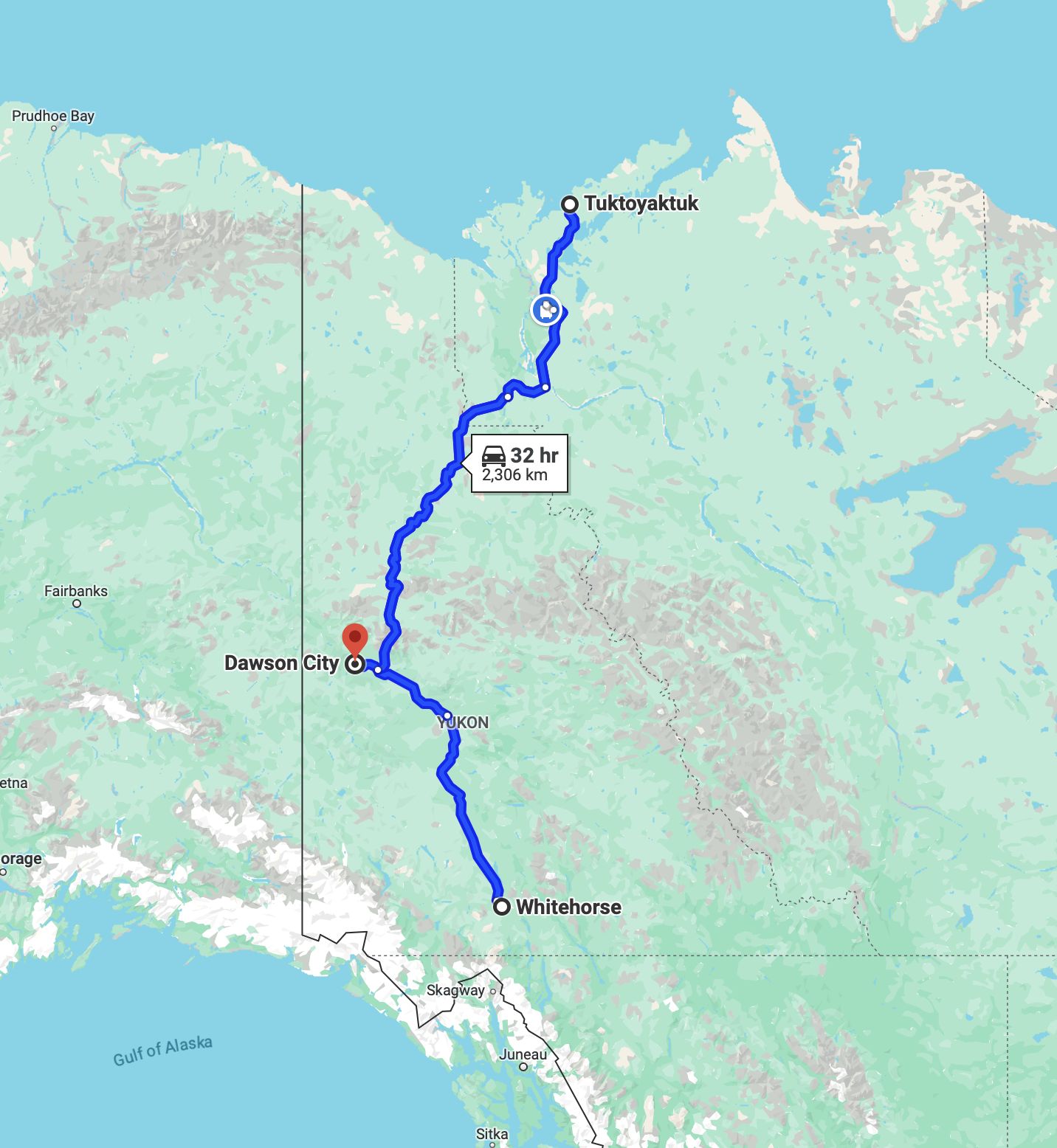
From Whitehorse to Tuktoyaktuk and Dawson City.
We left Whitehorse on July 14 and arrived in Dawson City on July 26.
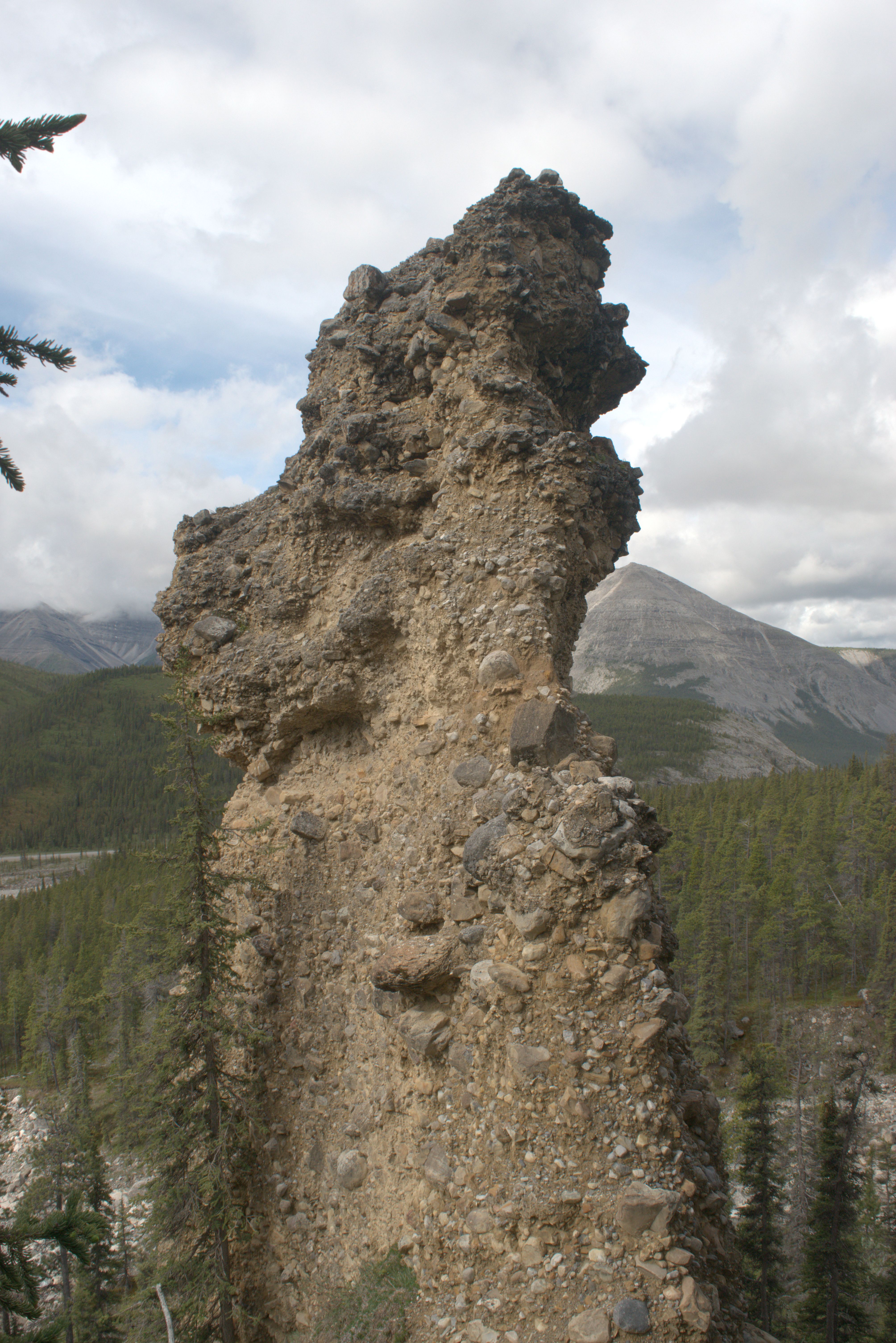
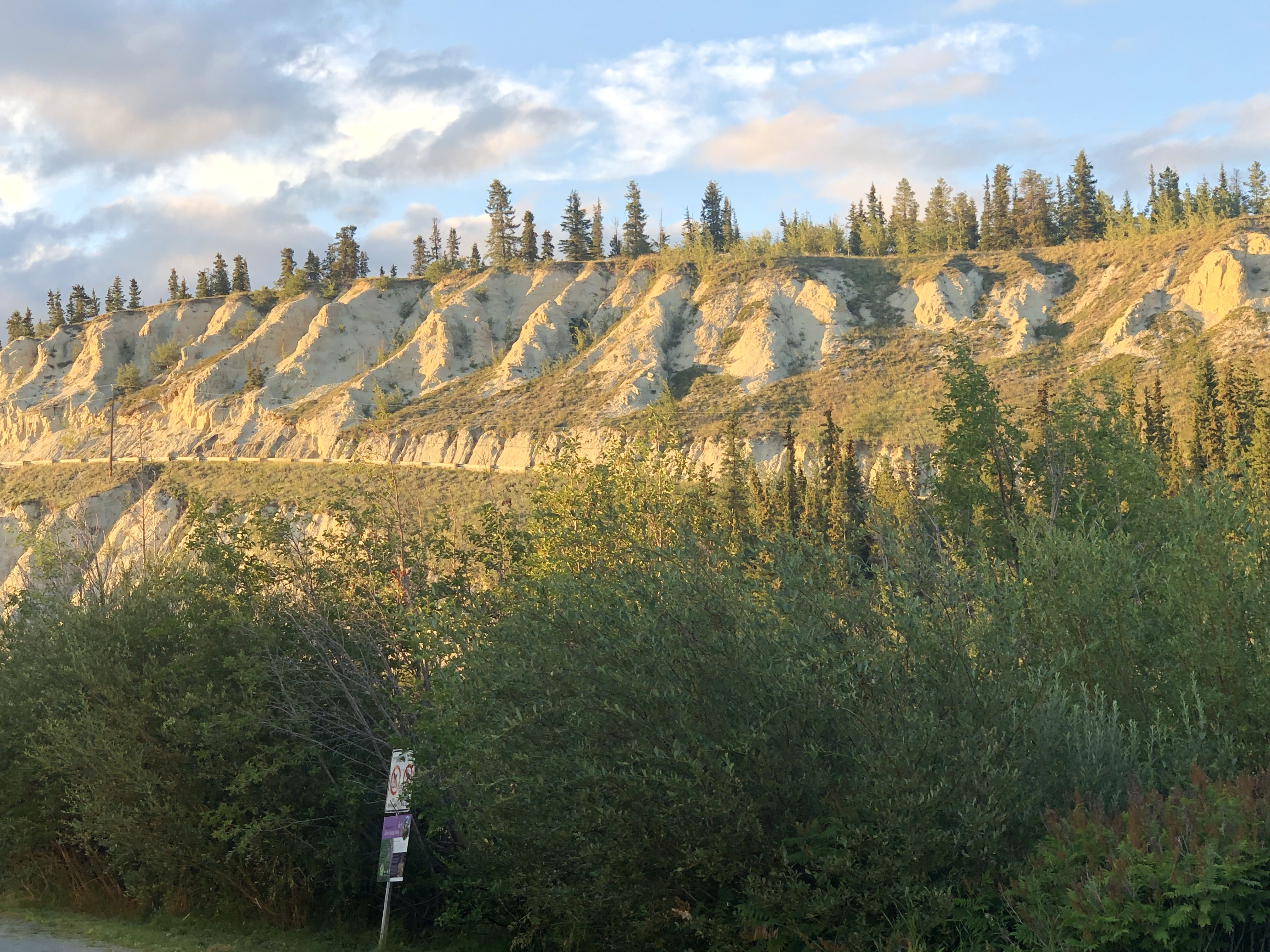
Just north of Carmacks, the Five Finger Islands lie in the Yukon River. The Conglomerate Pillars presented a challenge for boats navigating up and down the river during the Gold-Rush.
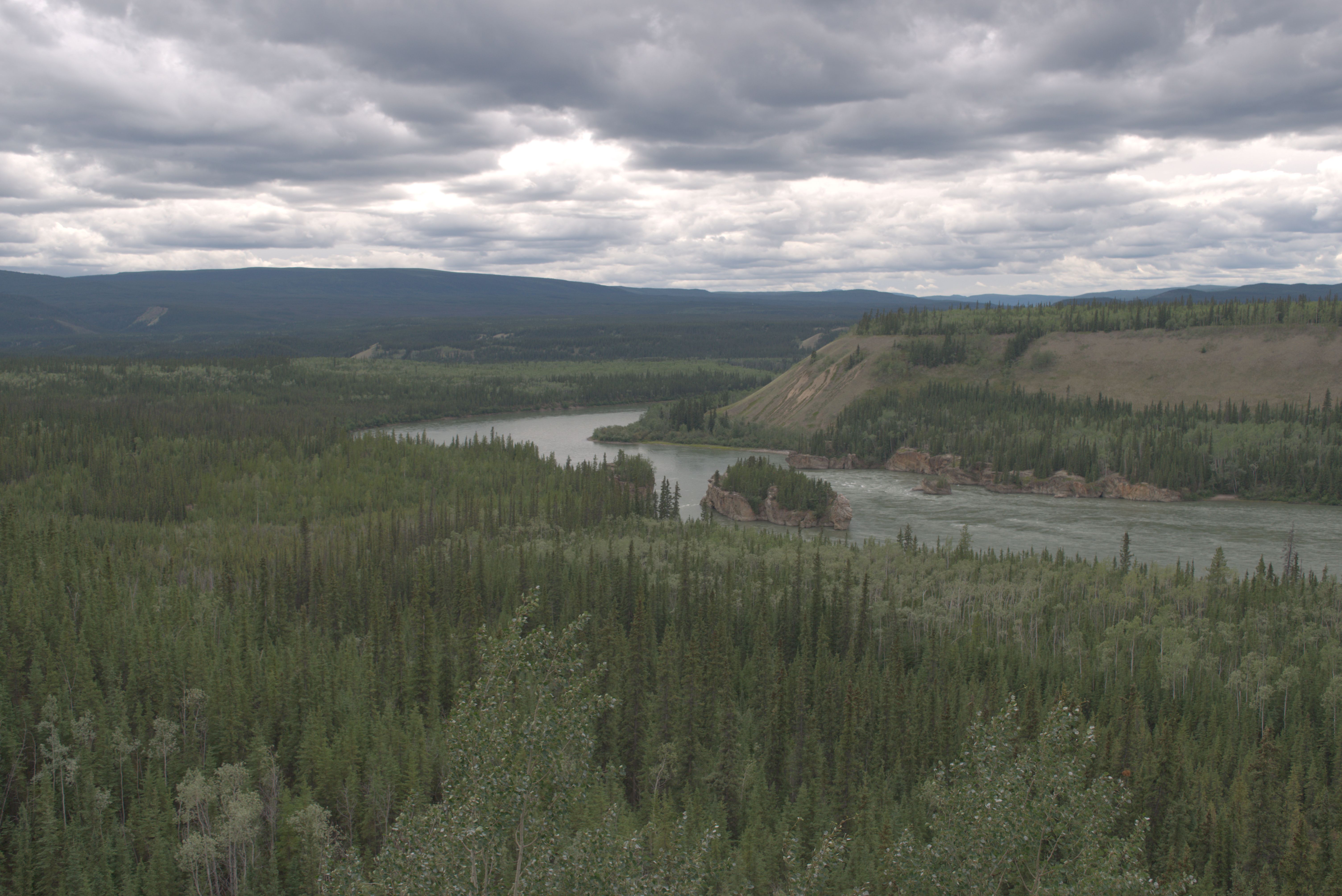
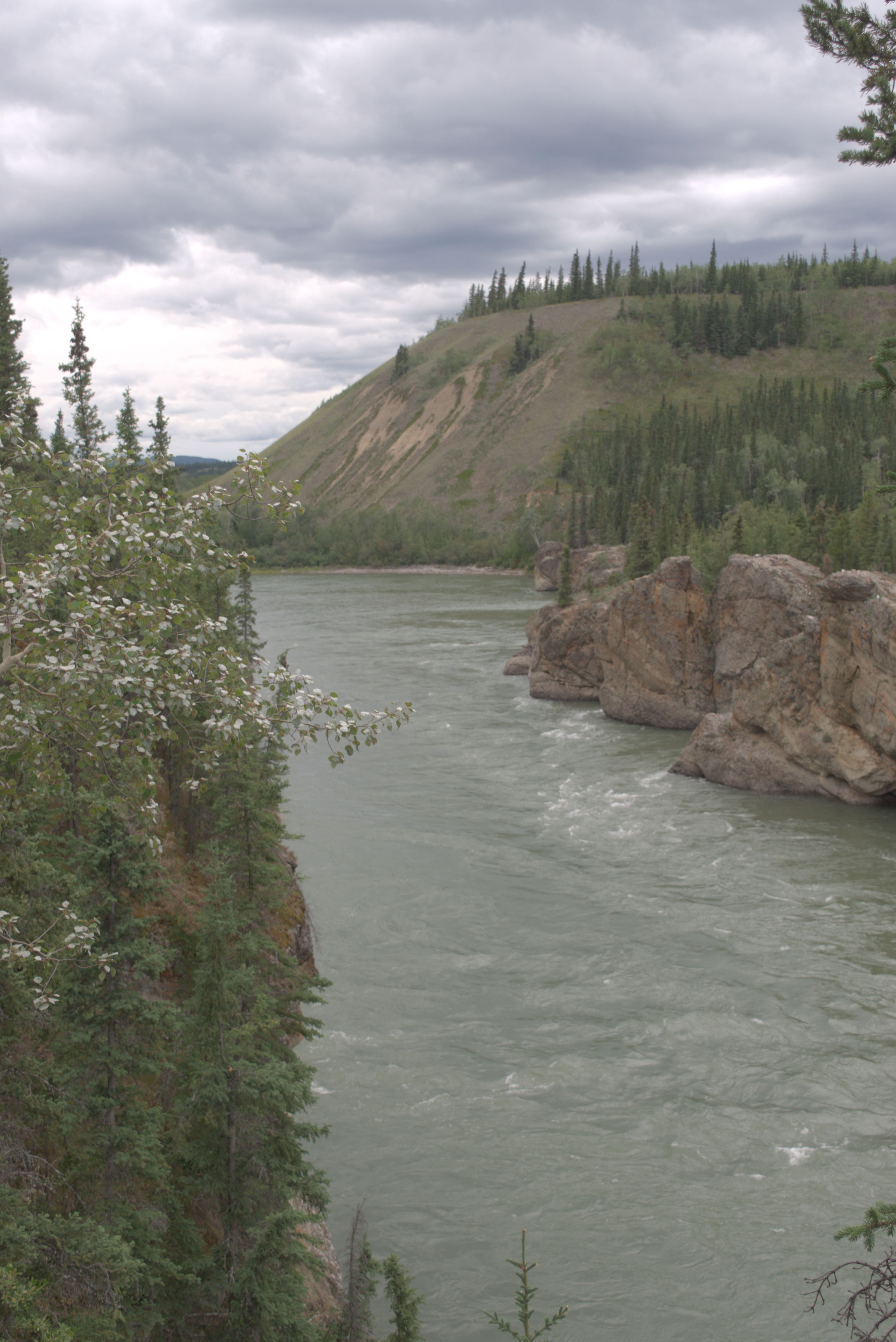
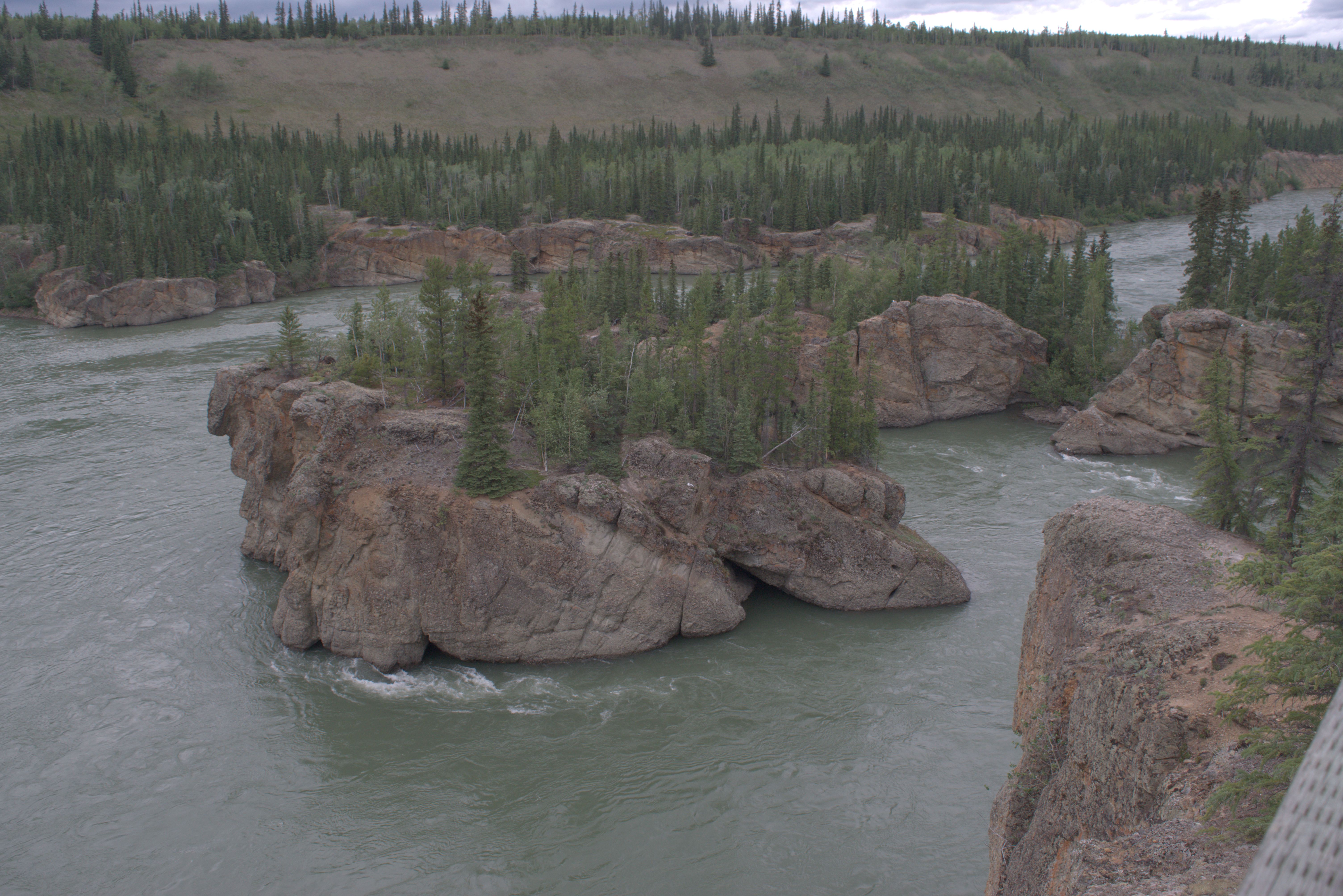
We camped at the “hidden campsite” on the Yukon River, across from Tachun Campground. Swiss fishermen had lit a big bonfire to grill steaks, just after we had driven through the remnants of a large forest fire that had blocked the road for a week.
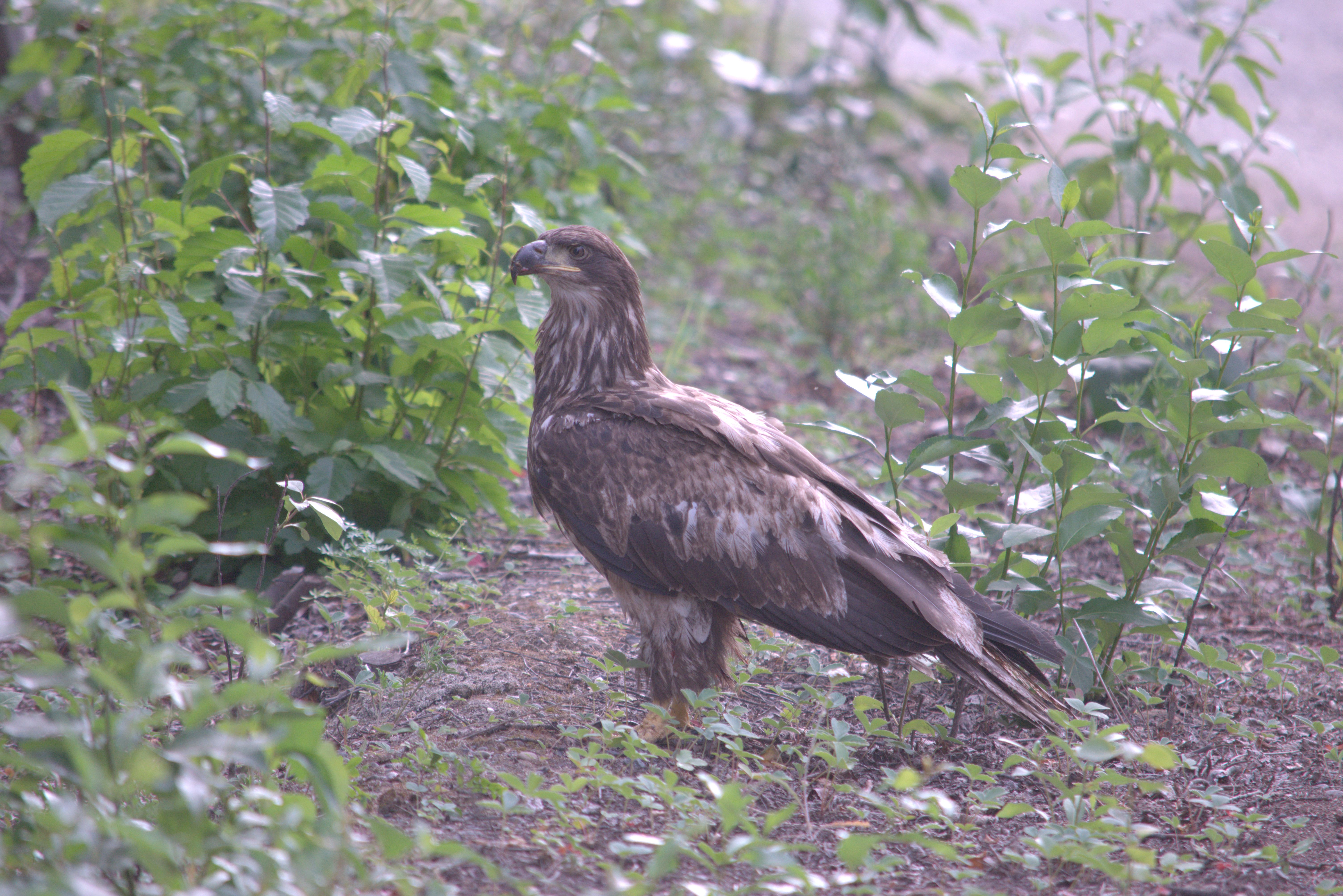
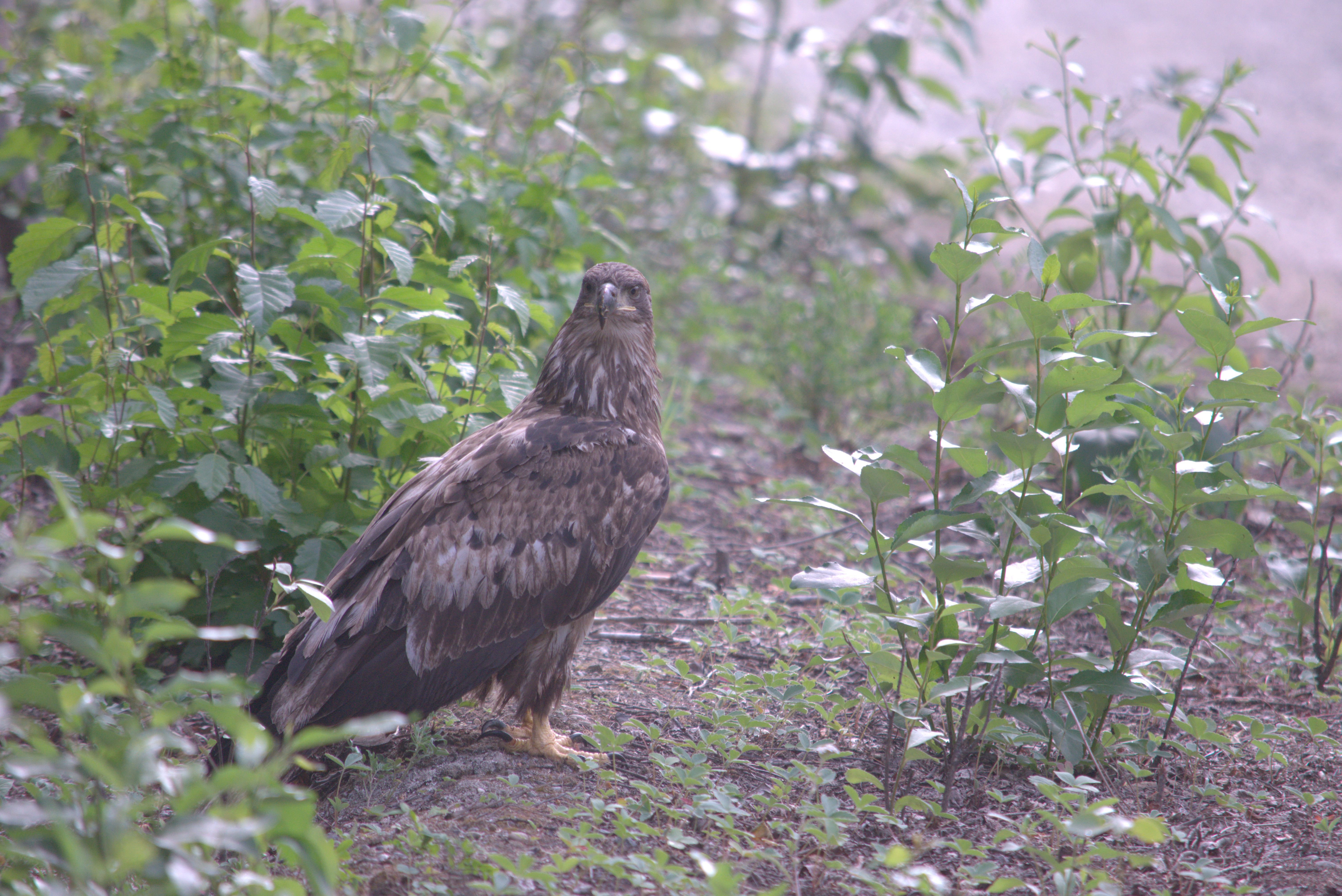
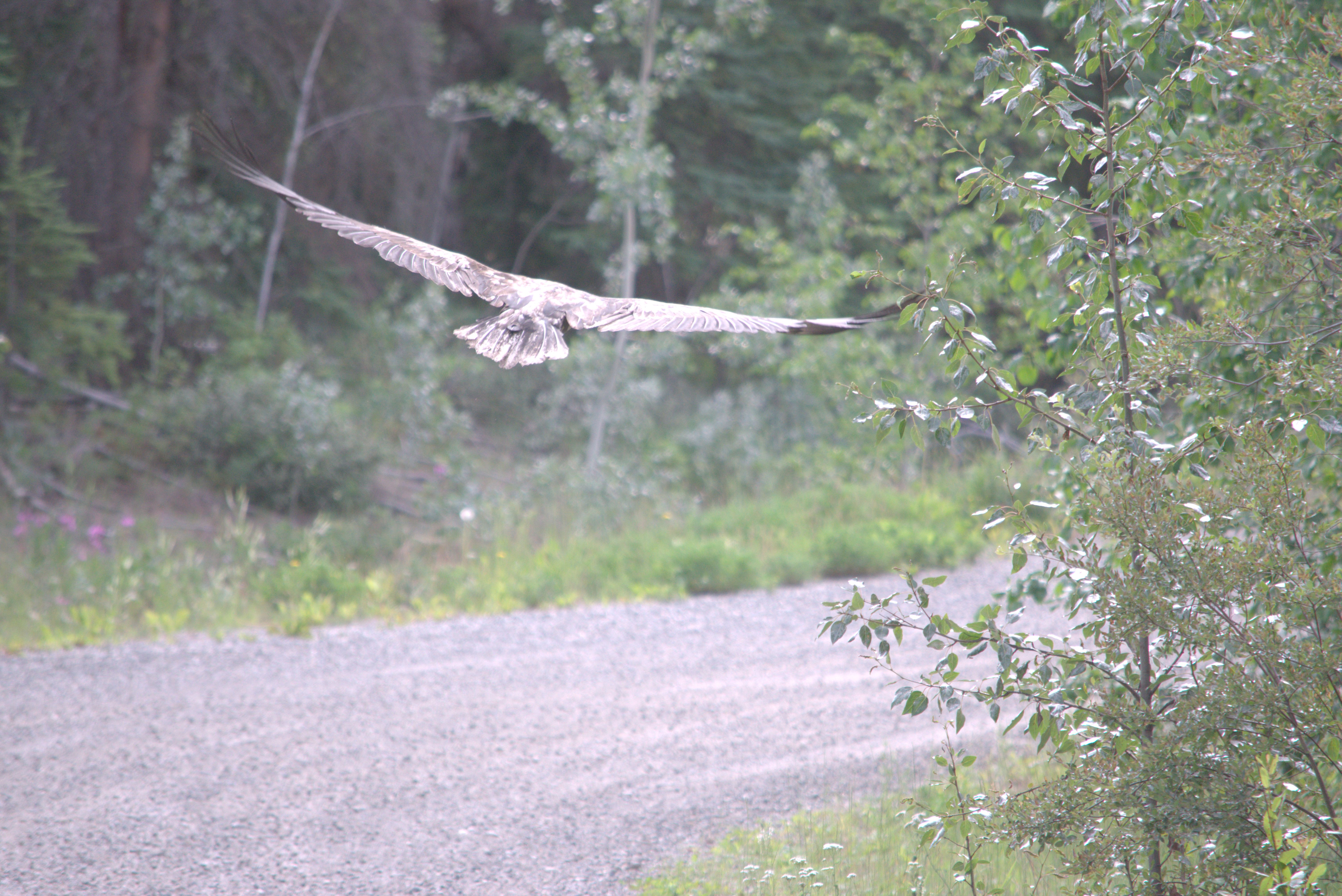
The next morning, we saw a golden eagle as we left.
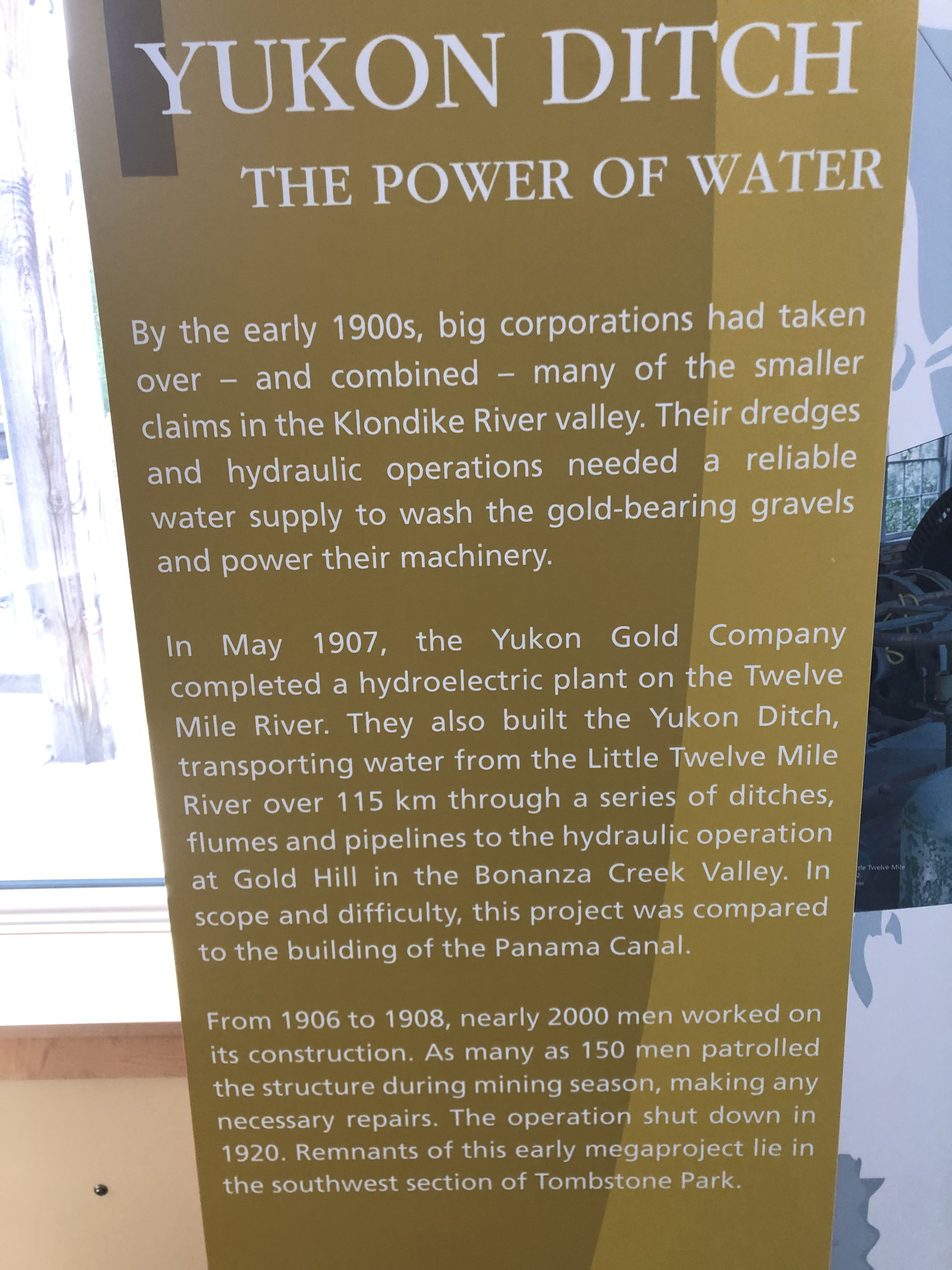
Similar to the canal system in the Harz Mountains, Germany, water was used as a power source for mining in this area.
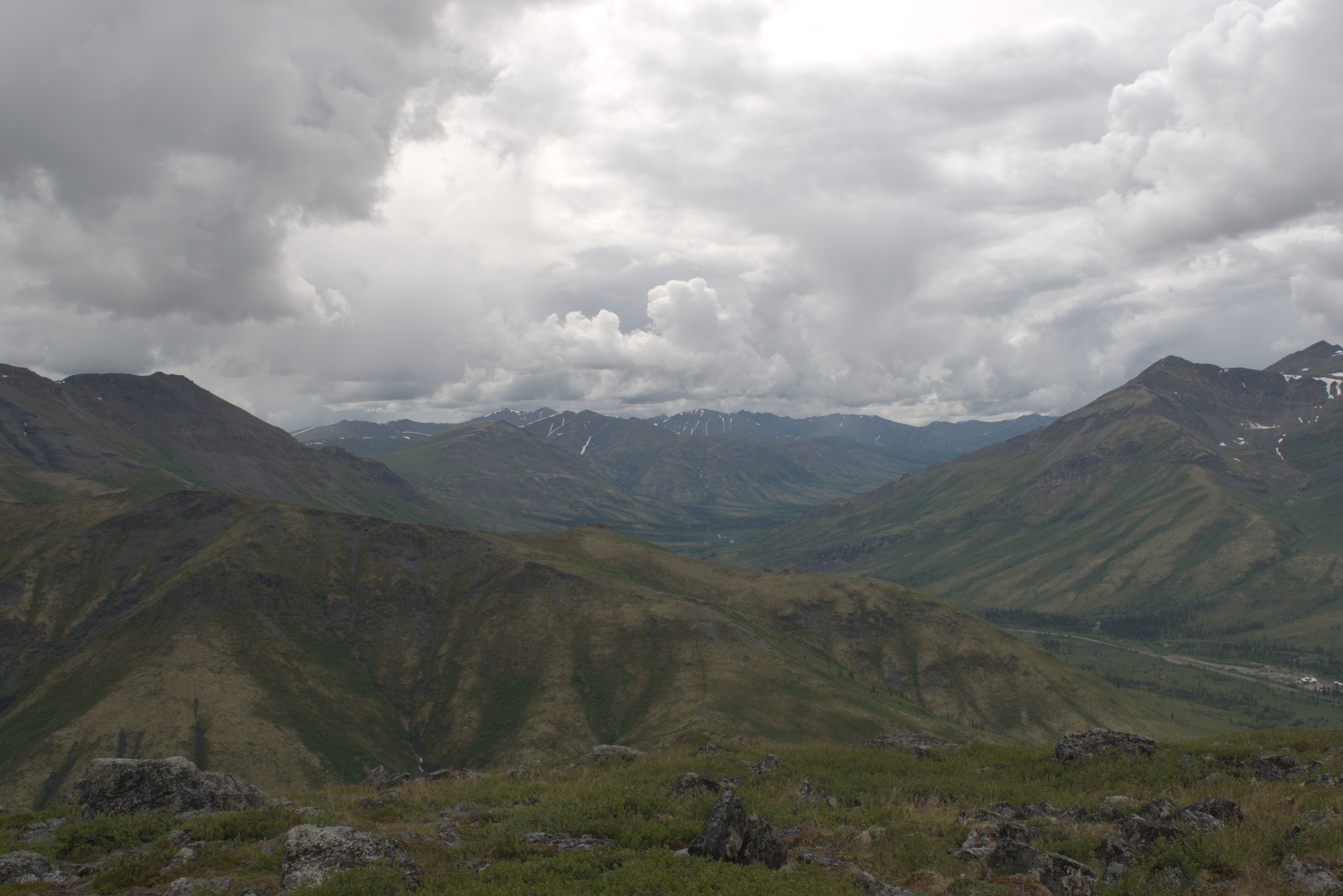
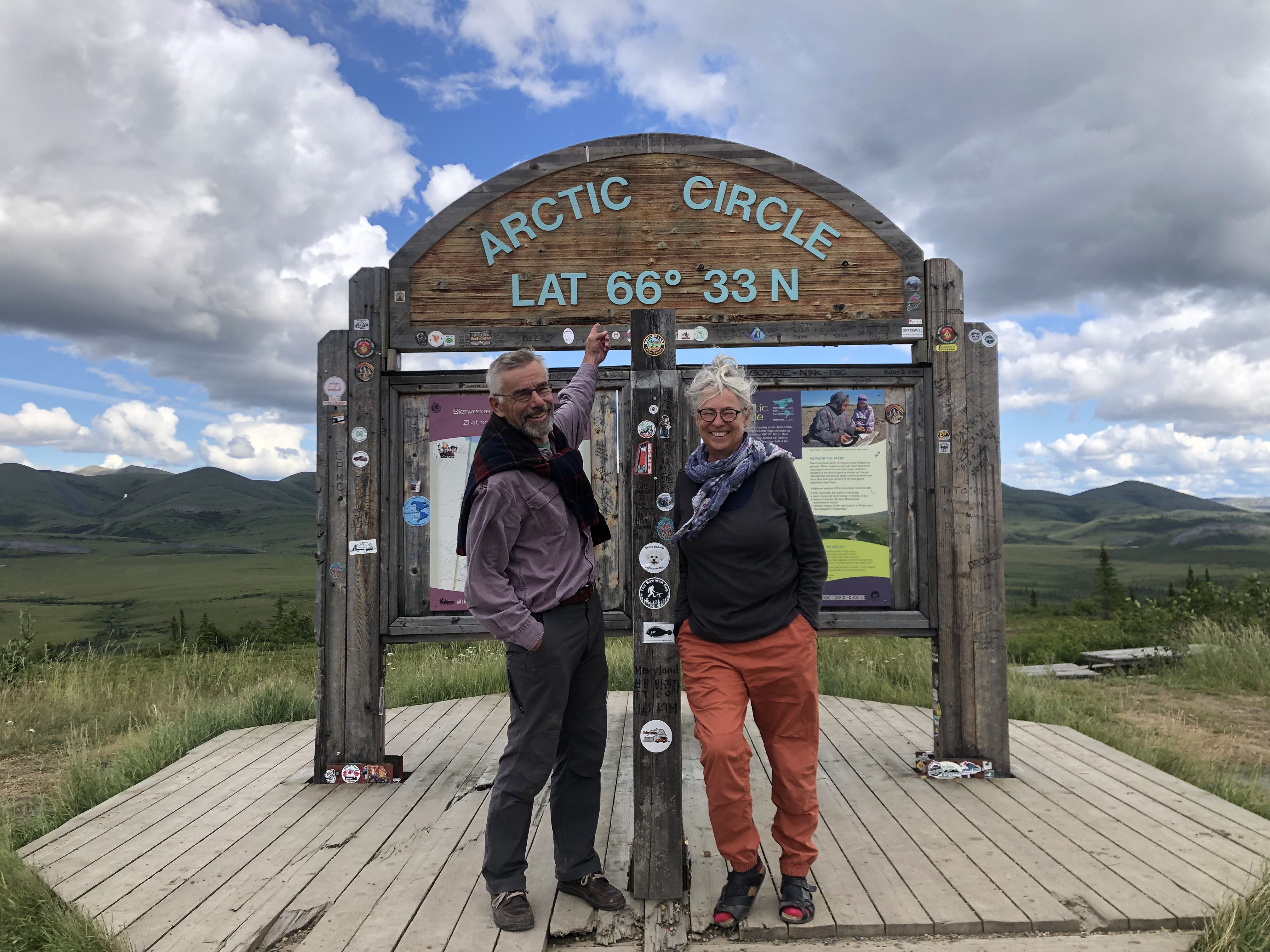
We stayed overnight beside the Swiss Hanomag-based stealth RV. For our North American friends, Hanomag was a well-respected brand in Germany, known for manufacturing municipal multi-purpose vehicles, as well as military trucks.
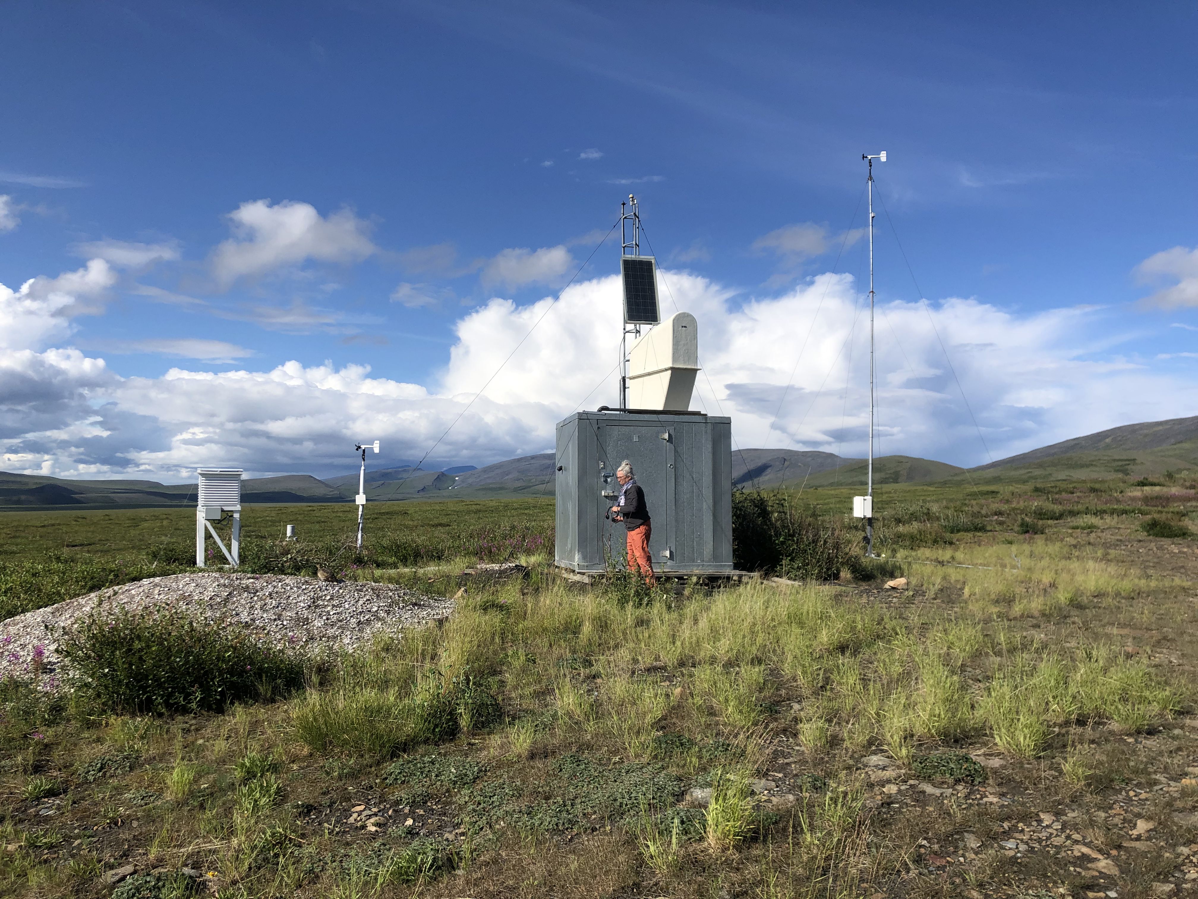
Camping beside a Weather Station.
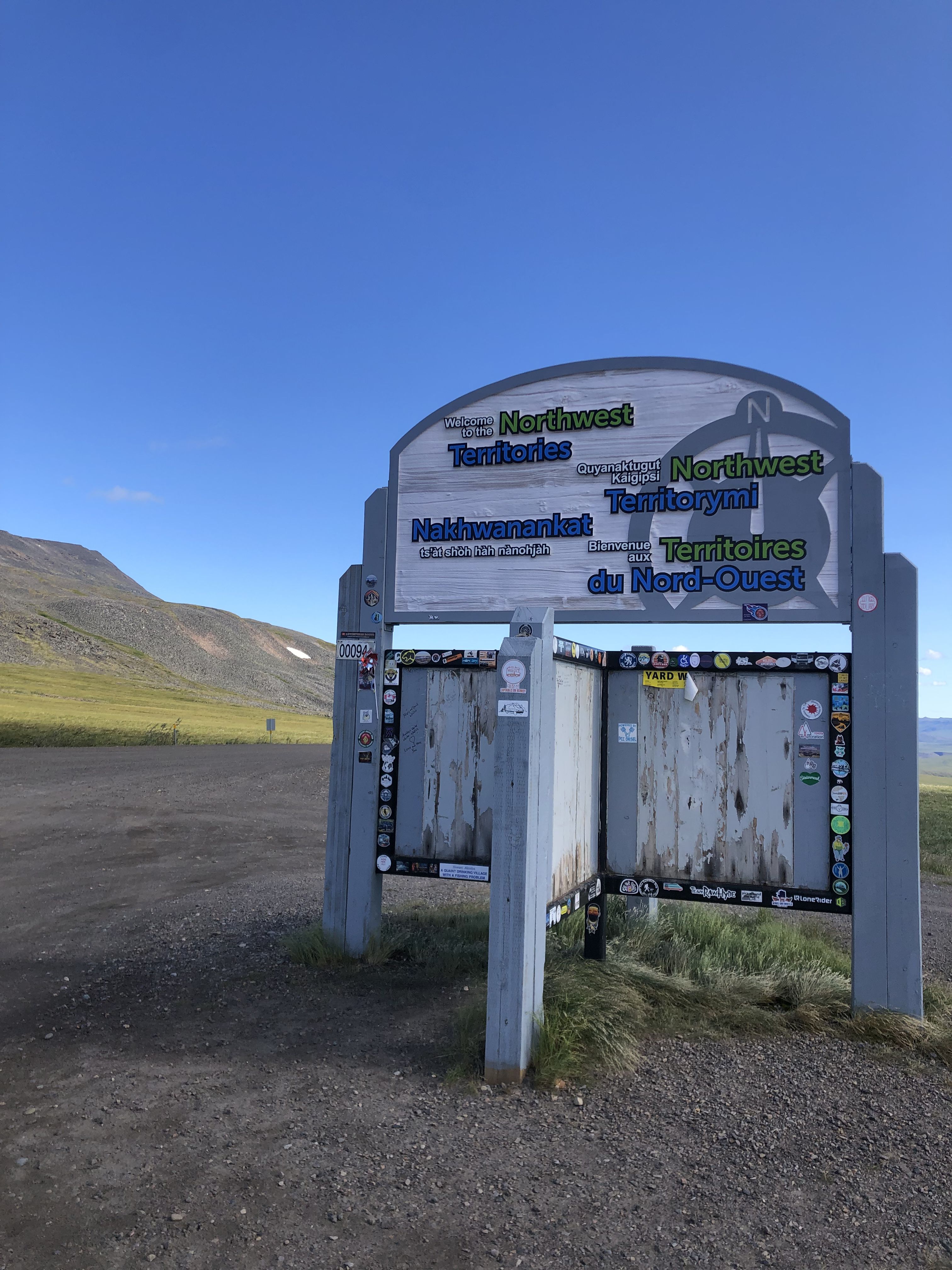
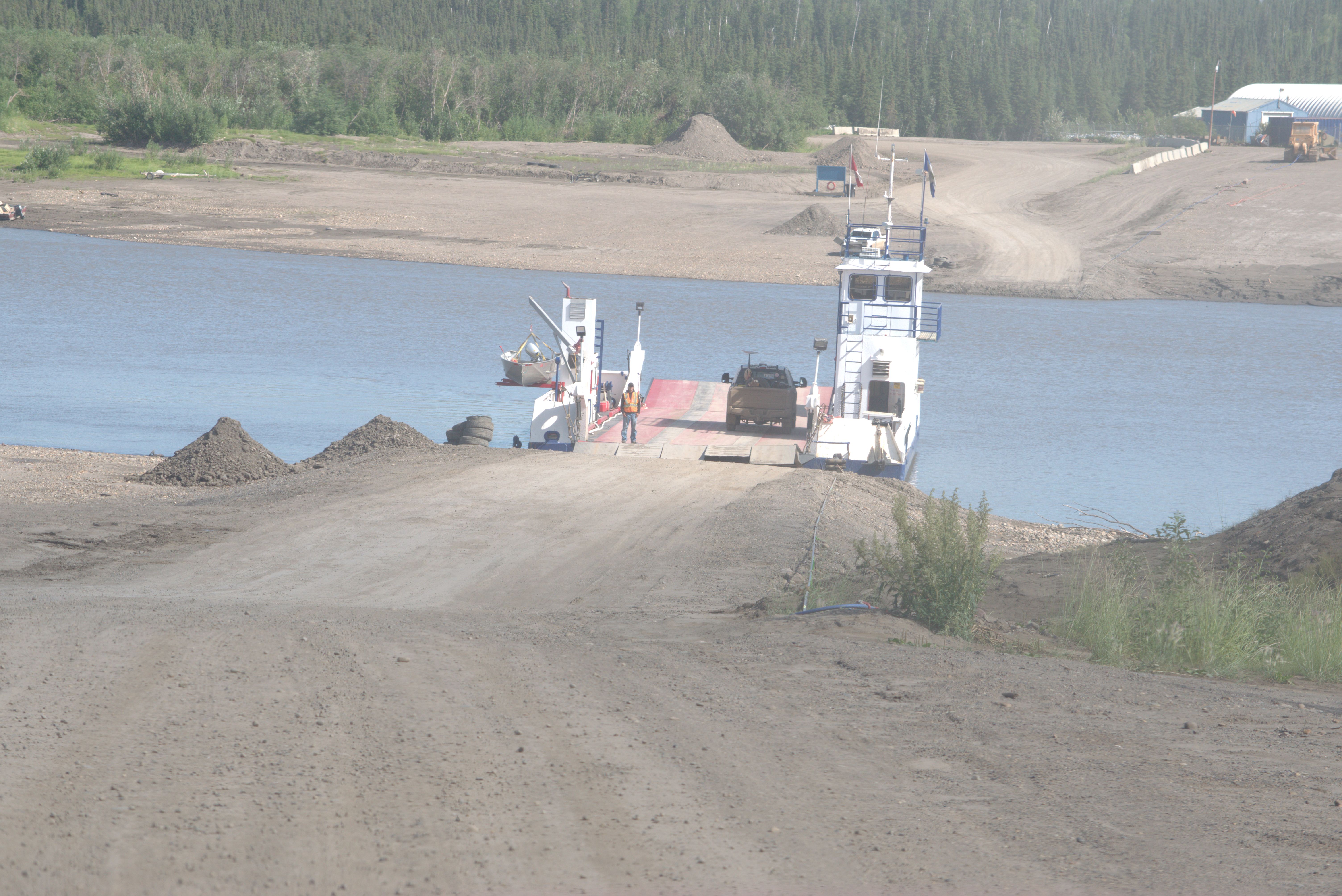
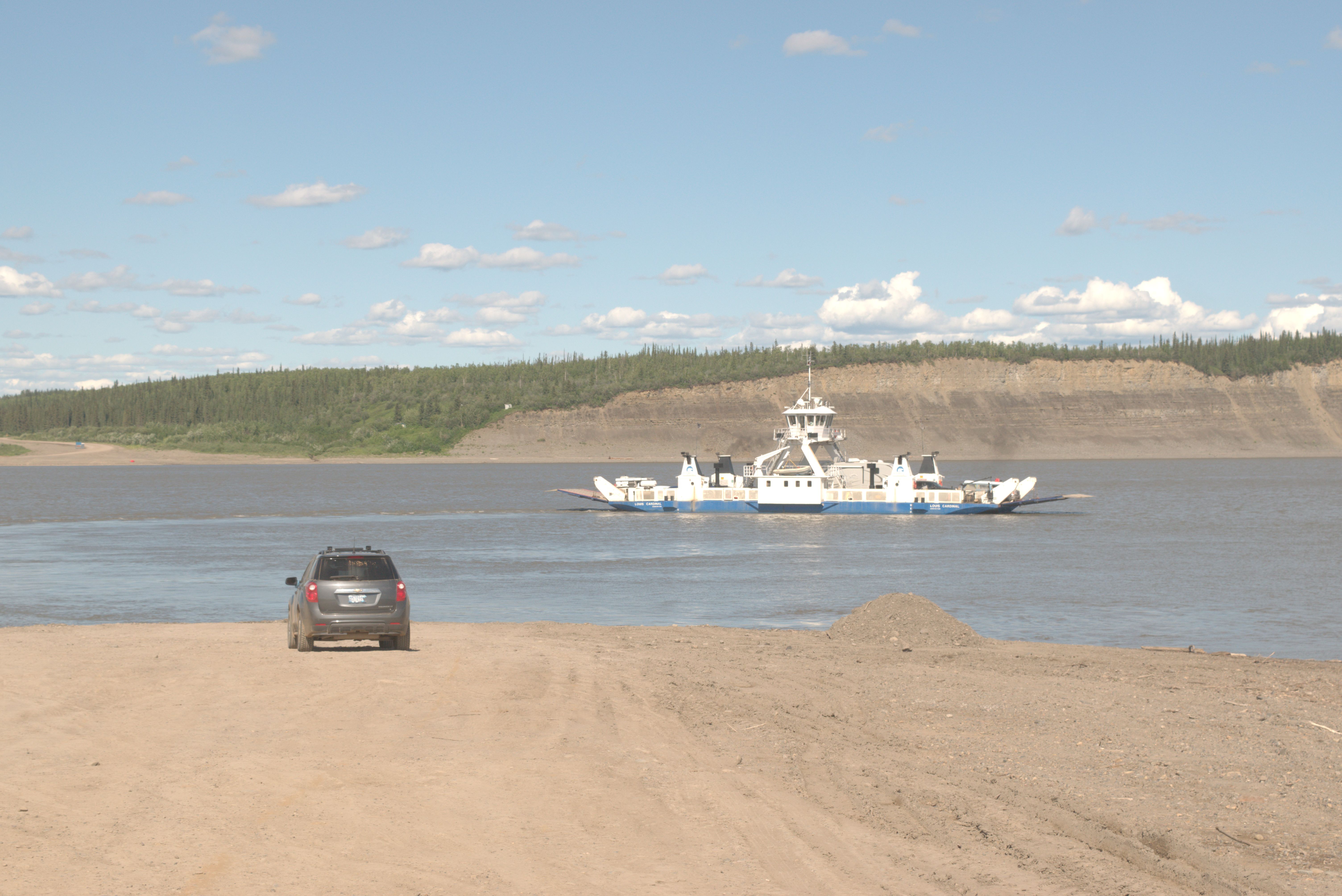
Visited the “museum” and campground office in Fort McPherson. We crossed the Peel River and the Mackenzie River by ferry. Disappointed by Inuvik, we continued toward Tuktoyaktuk, which everyone refers to as “Tuk”.
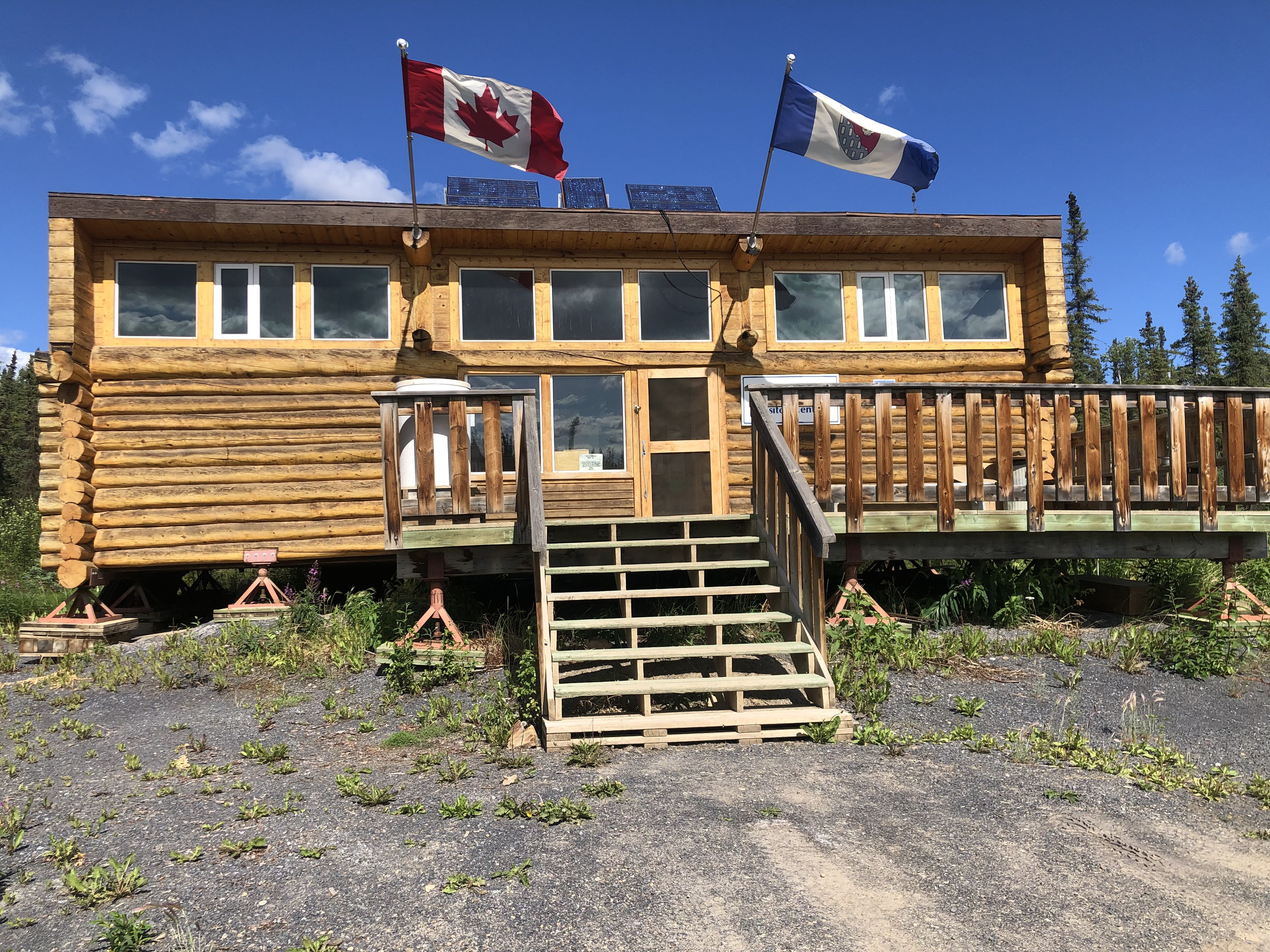
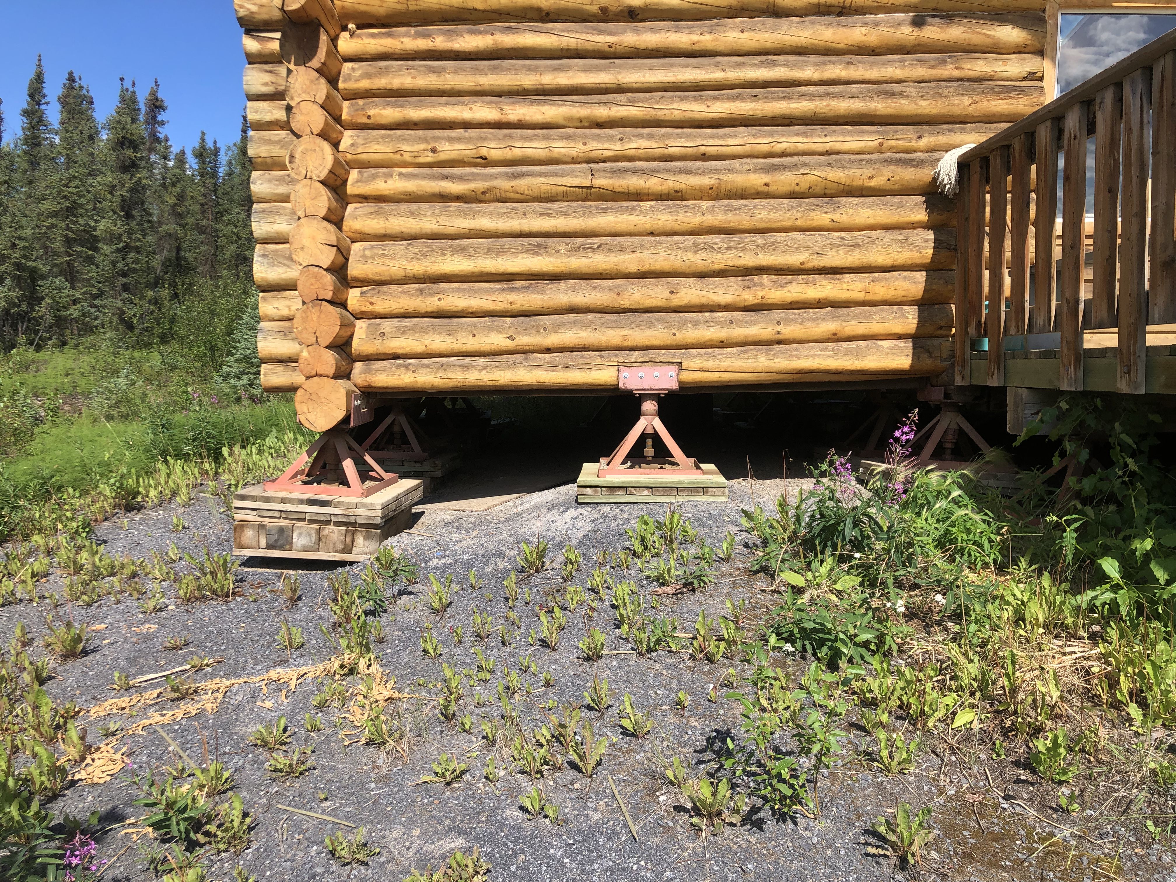
Building on permafrost presents unique challenges. Often, the structure rests on footings similar to these.
We stayed overnight just south of Tuk, one of the few places with a large number of mosquitoes.
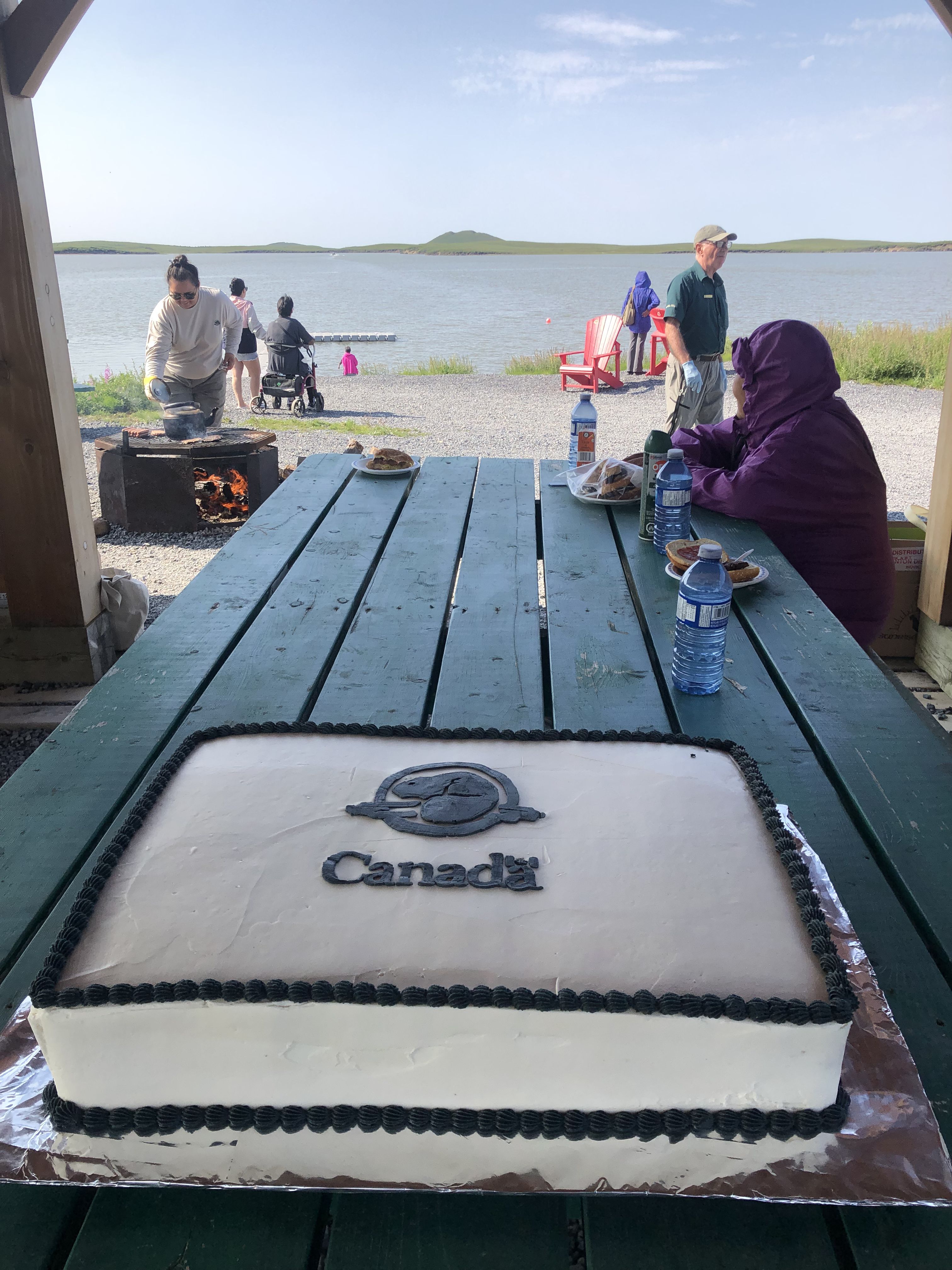
Parks Canada Landmark outside of Tuk.
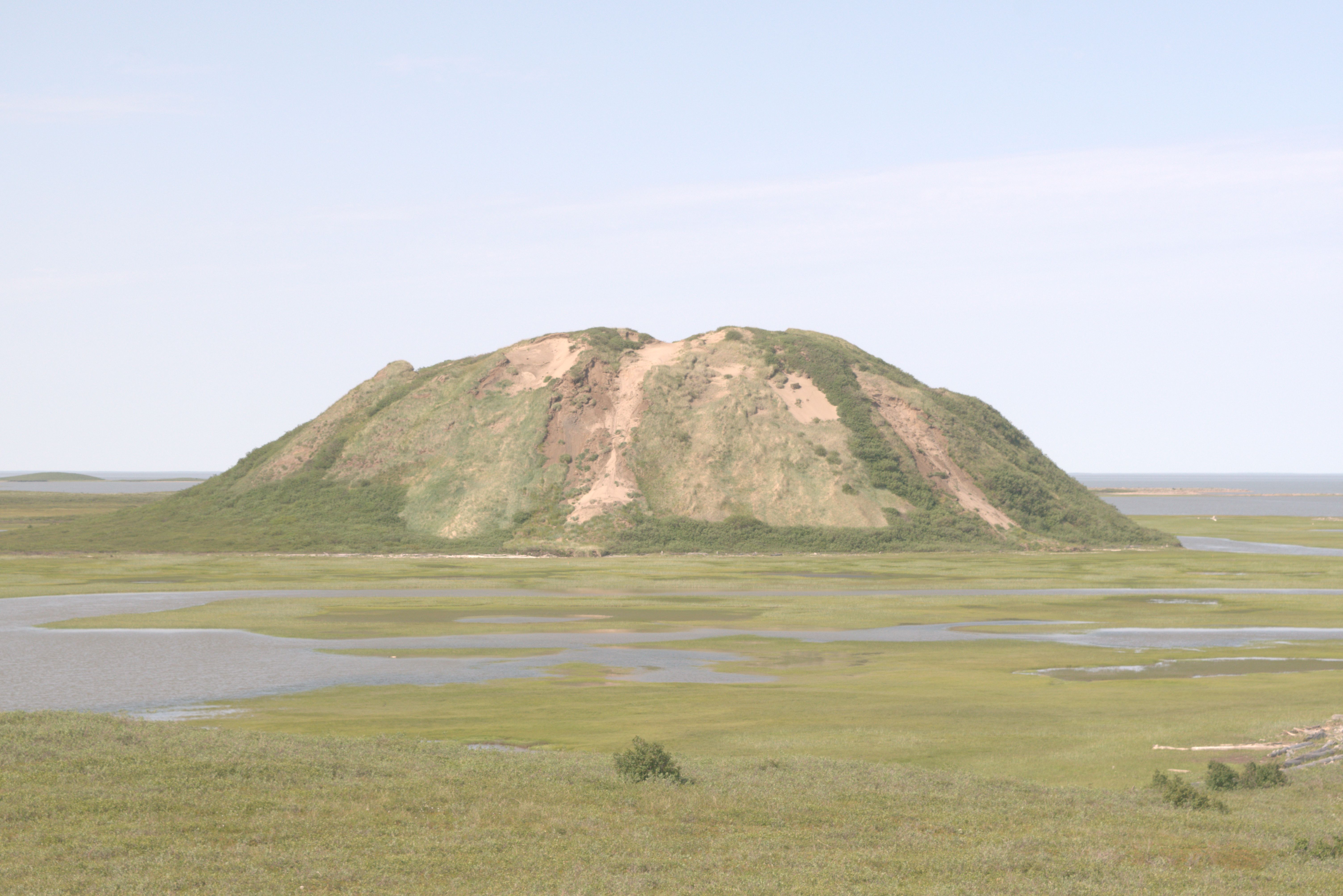
Parks Canada celebrates its birthday with guided trips to the Pingos. Local First Nations guides ferry us across a bay, with one accompanying us carrying a rifle in search of polar bears. In recent weeks, polar bears have been spotted close to Tuk.
The First Nations Elders we met at the picnic told us that the effects of climate change are dramatic, altering their entire way of life. Many older people don’t leave their homes in the summer because they can’t tolerate temperatures reaching 30 degrees Celsius. During our trip this summer, we often found it was warmer in Tuk than in our location much further south.
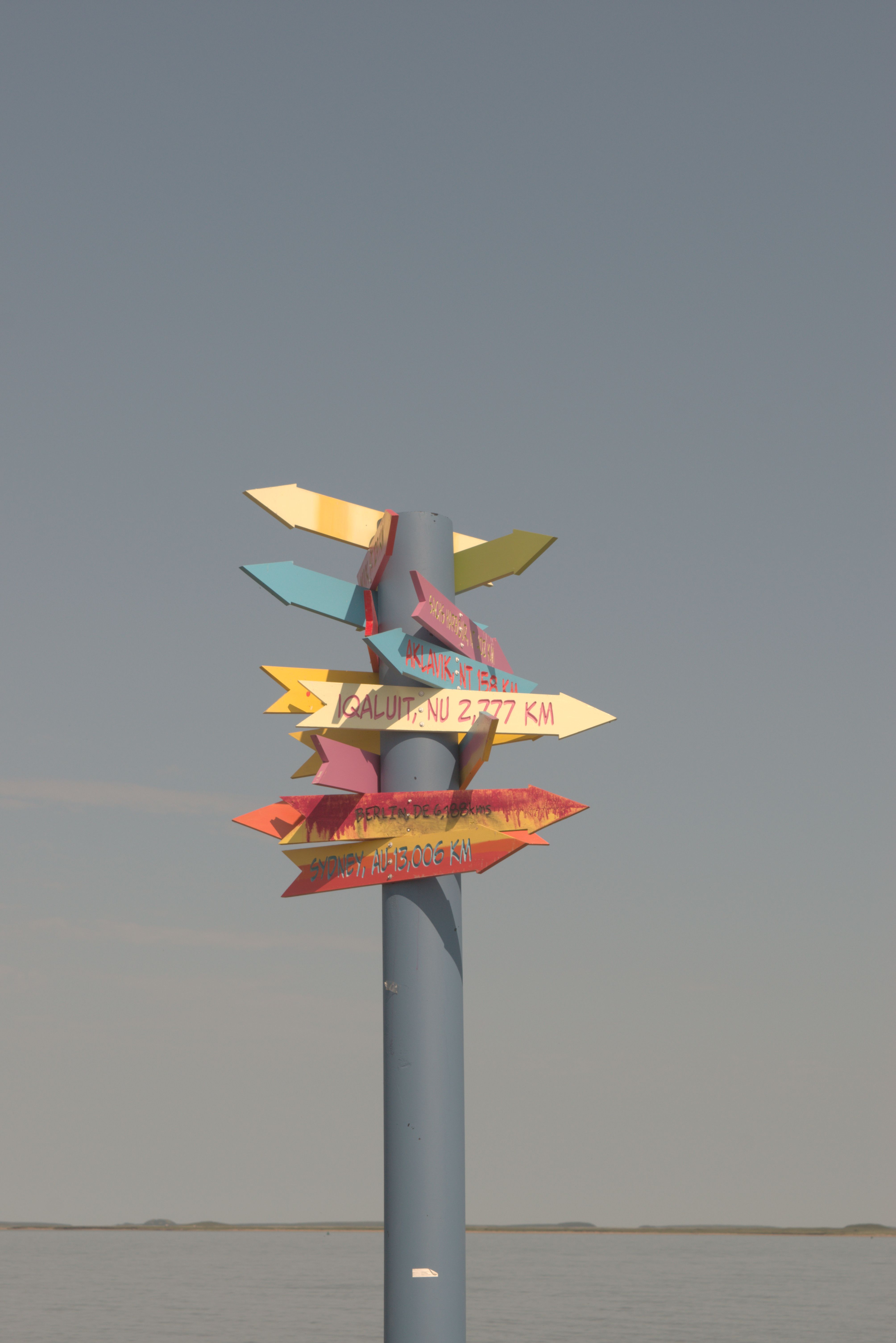
At the literal end of the road—in this case, the Dempster Highway—with the Arctic Ocean in the background.
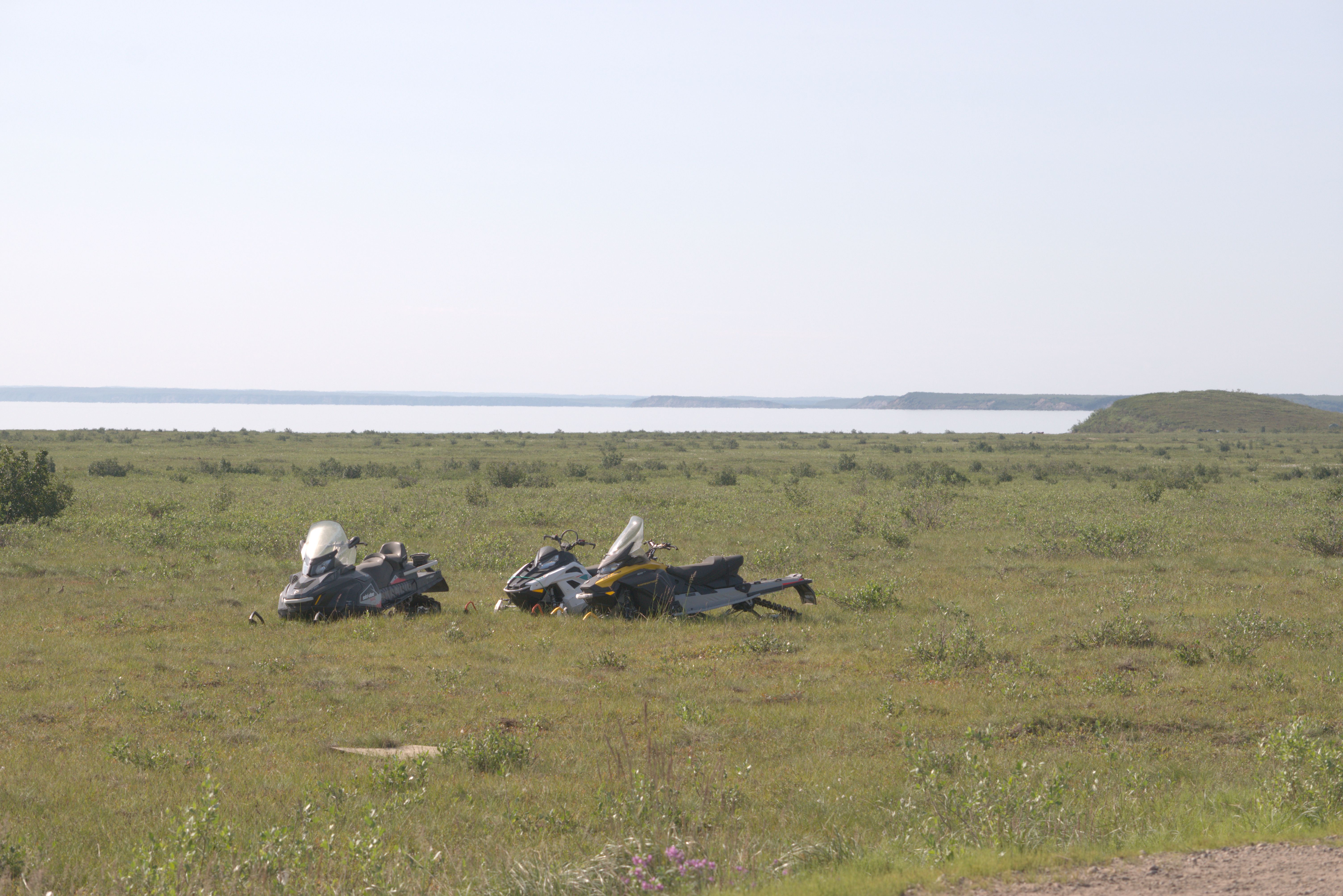
Snowmobiles “parked” beside the Dempster. Locals also use them in the summer to cross the tundra.
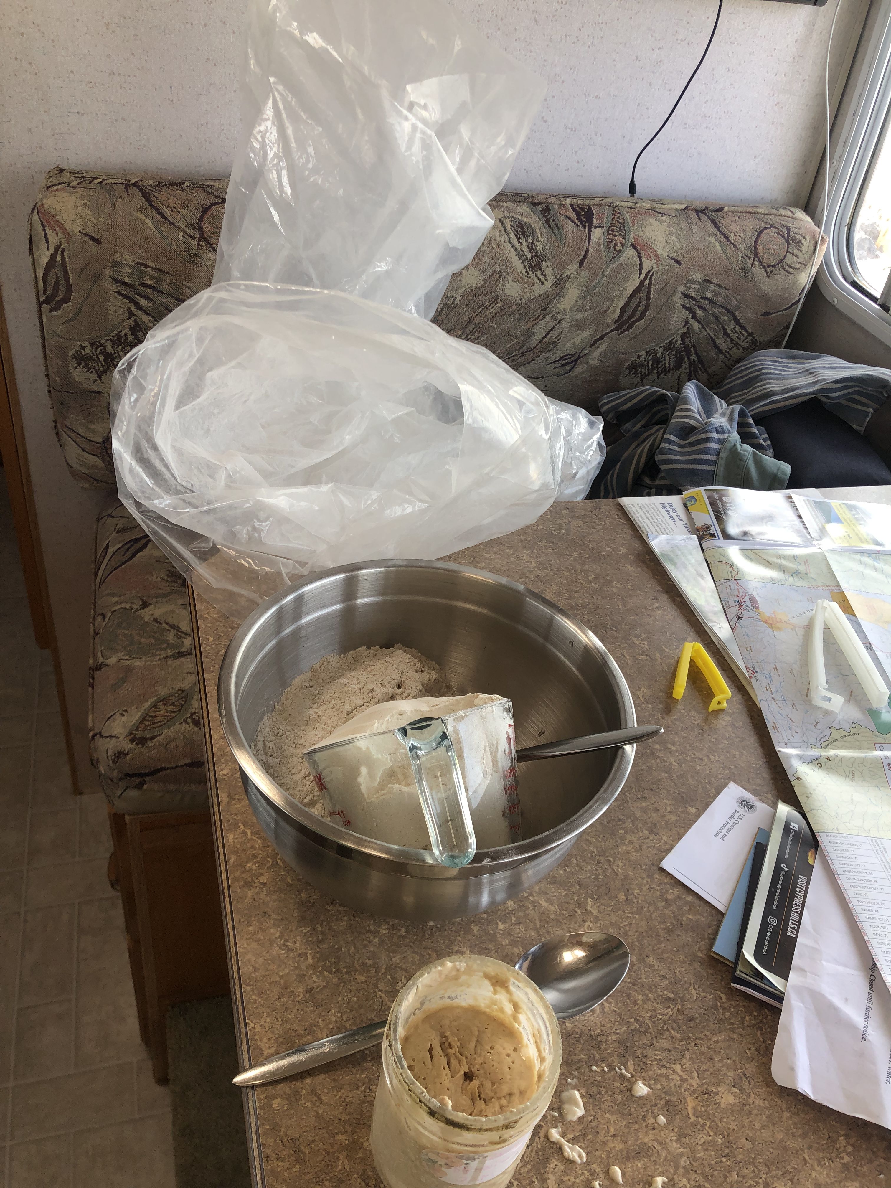
I do this about twice a week.
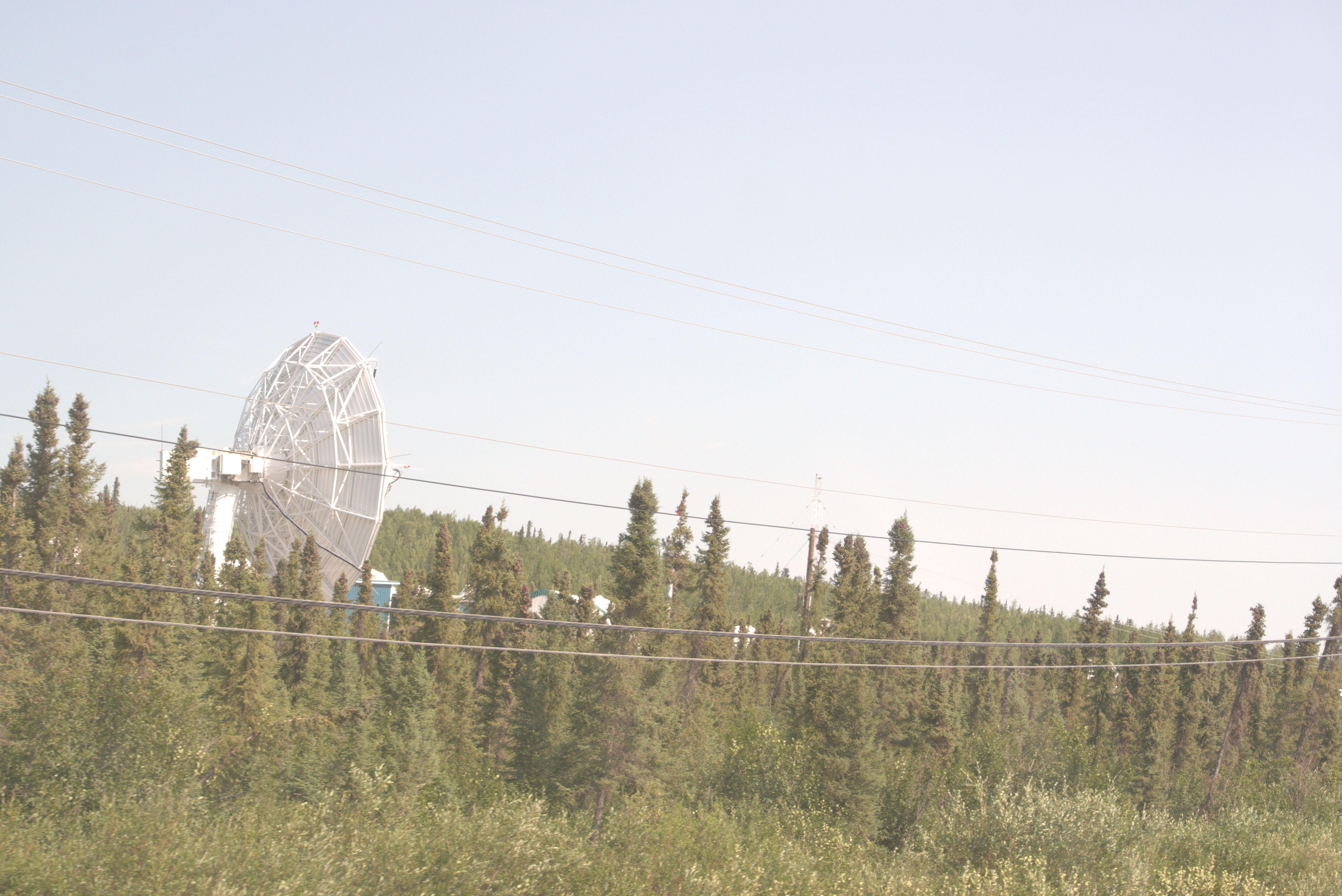
Federal satellite ground station just south of Inuvik.
Clarification of the terms ‘tundra’ versus ‘alpine tundra’ or ‘alpine meadow’:
The tundra begins north of Inuvik.
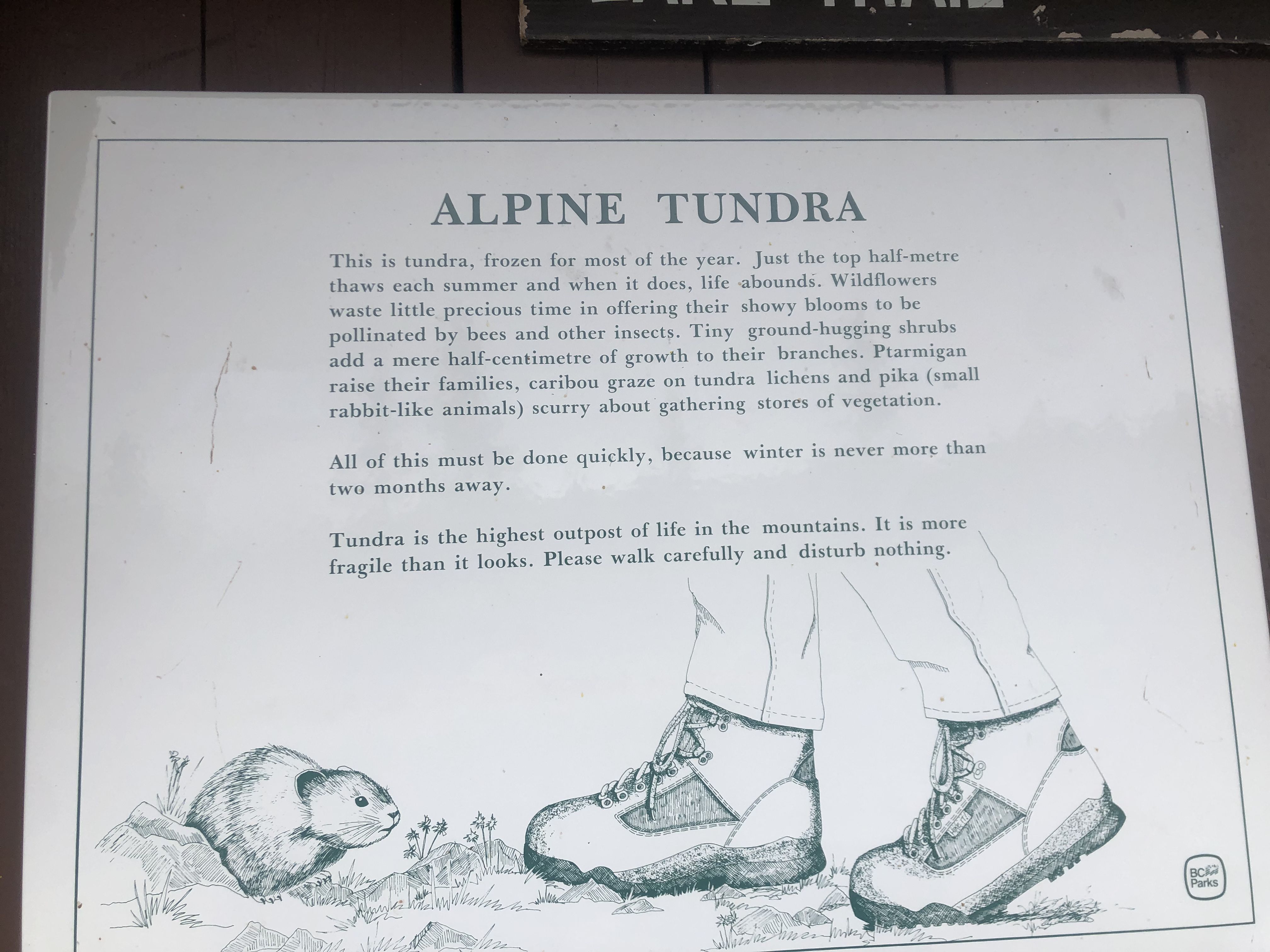
Alpine meadows or alpine tundra are types of vegetated natural habitats found at high altitudes, typically above the tree line.
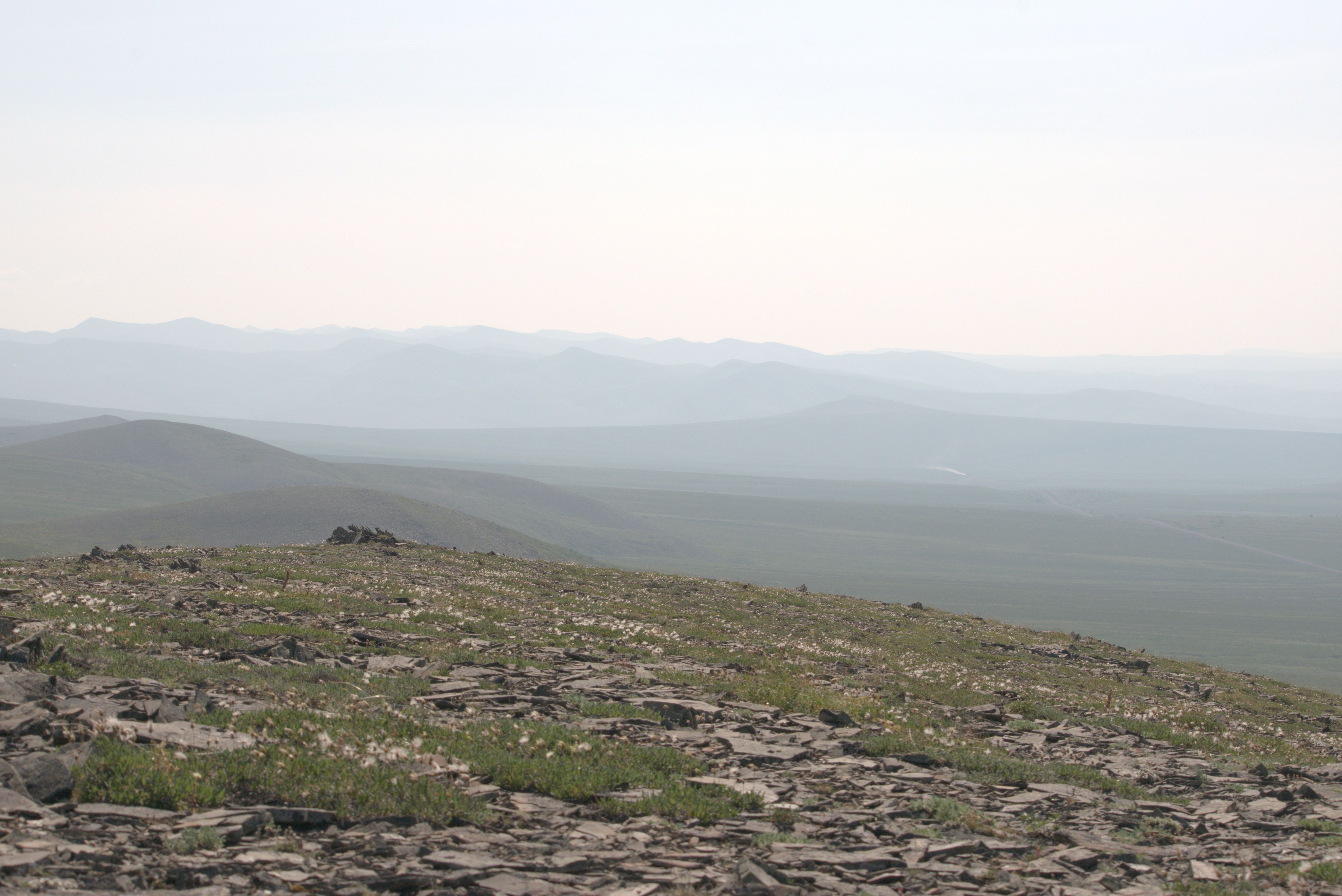
Alpine meadows near the border between Yukon and the Northwest Territories, where the vastness of the landscape was almost overwhelming.
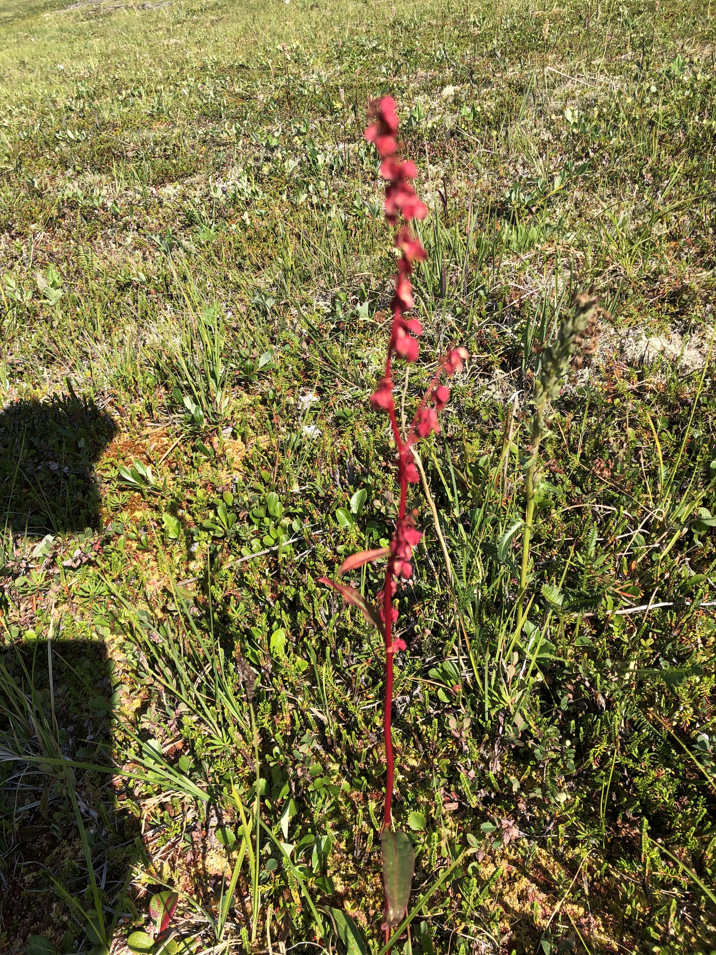
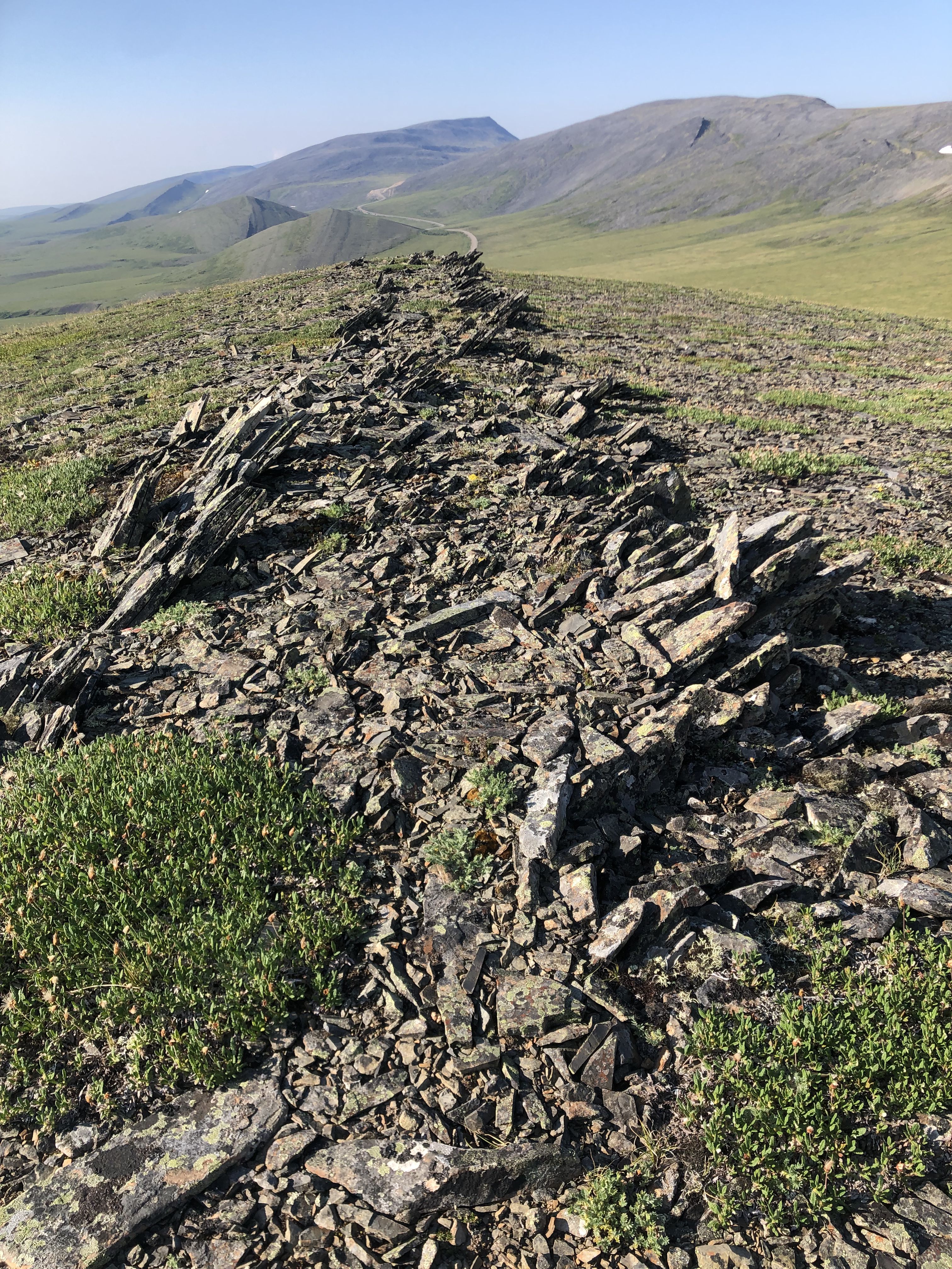
Sleeping near a radio station that was under construction.
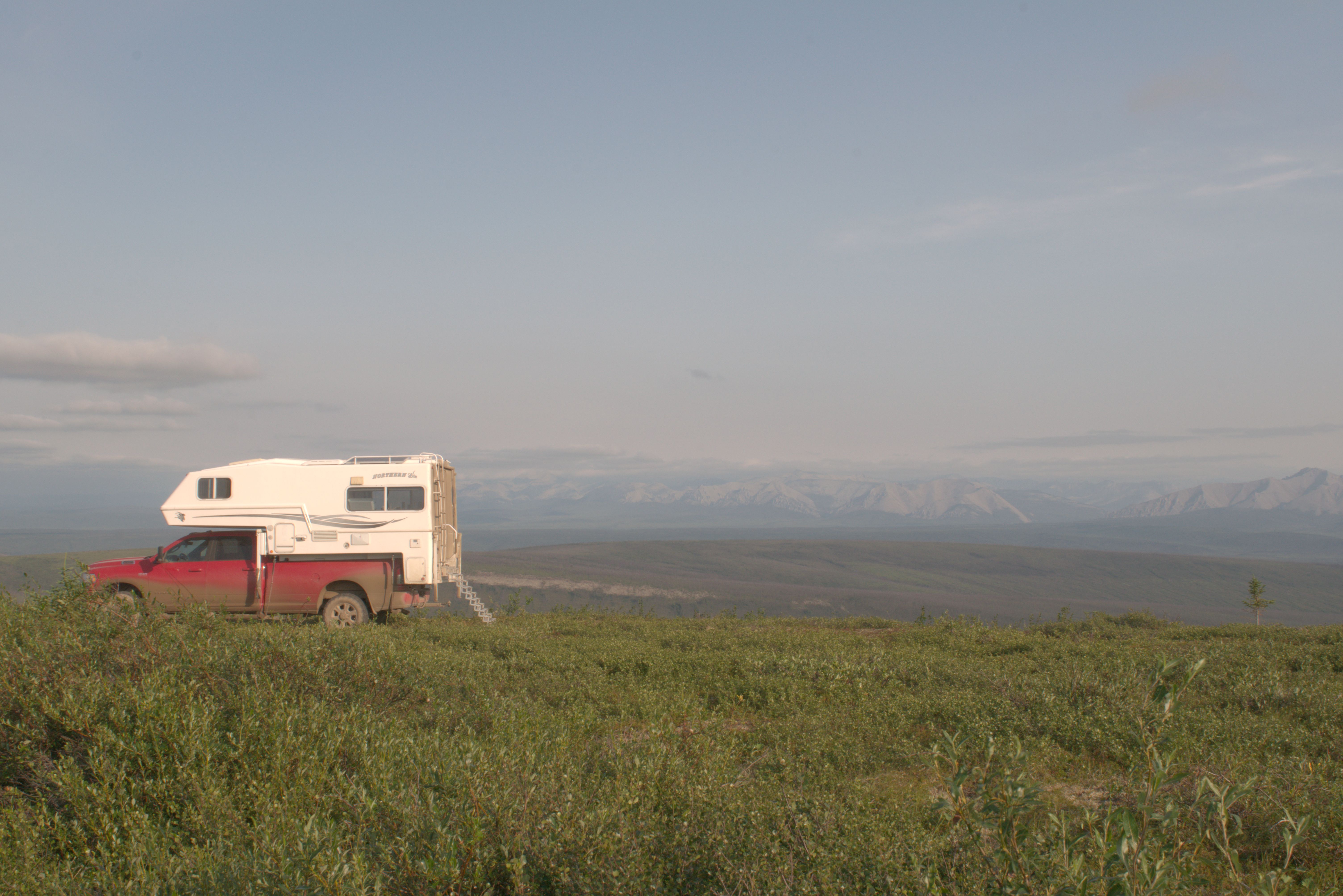
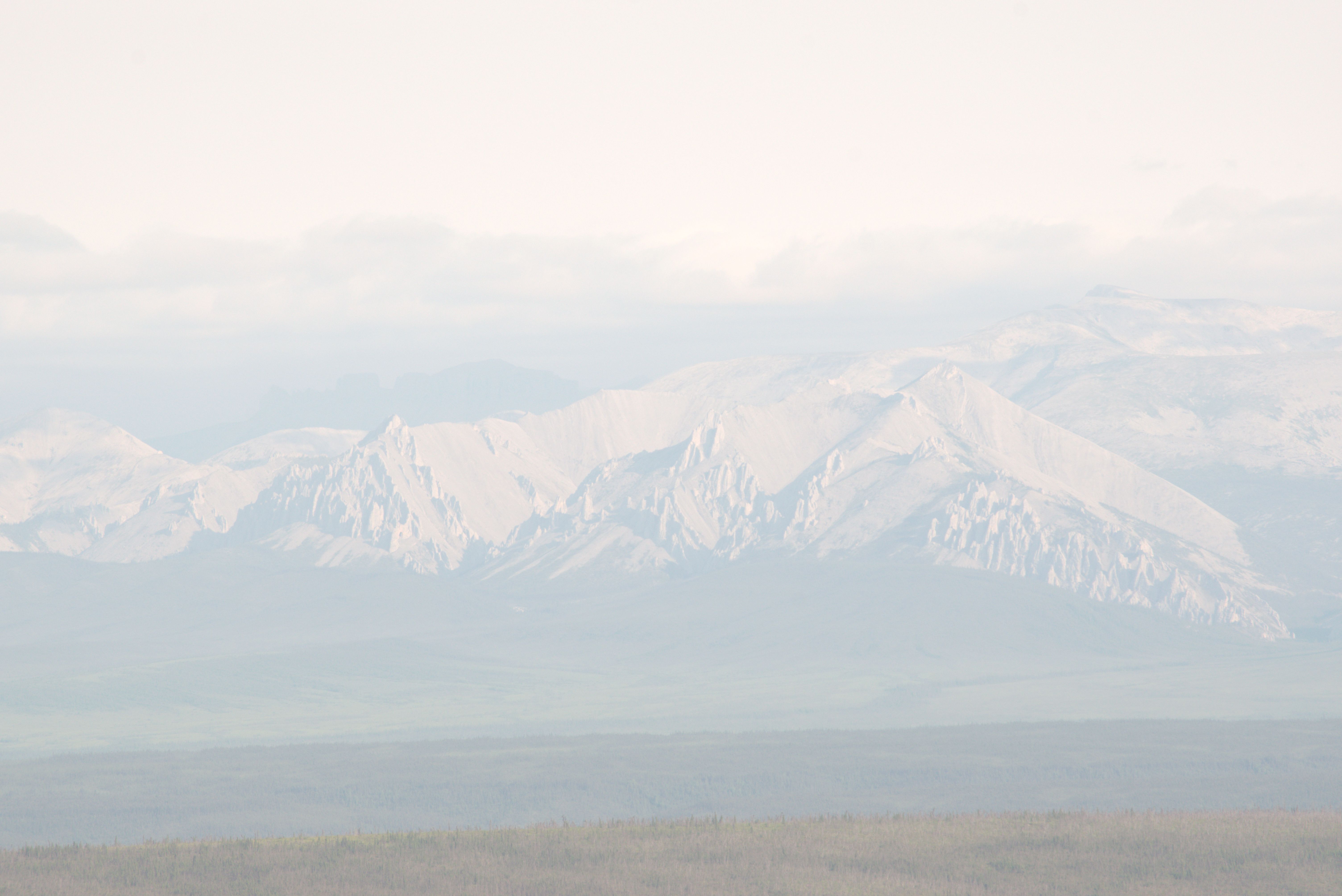
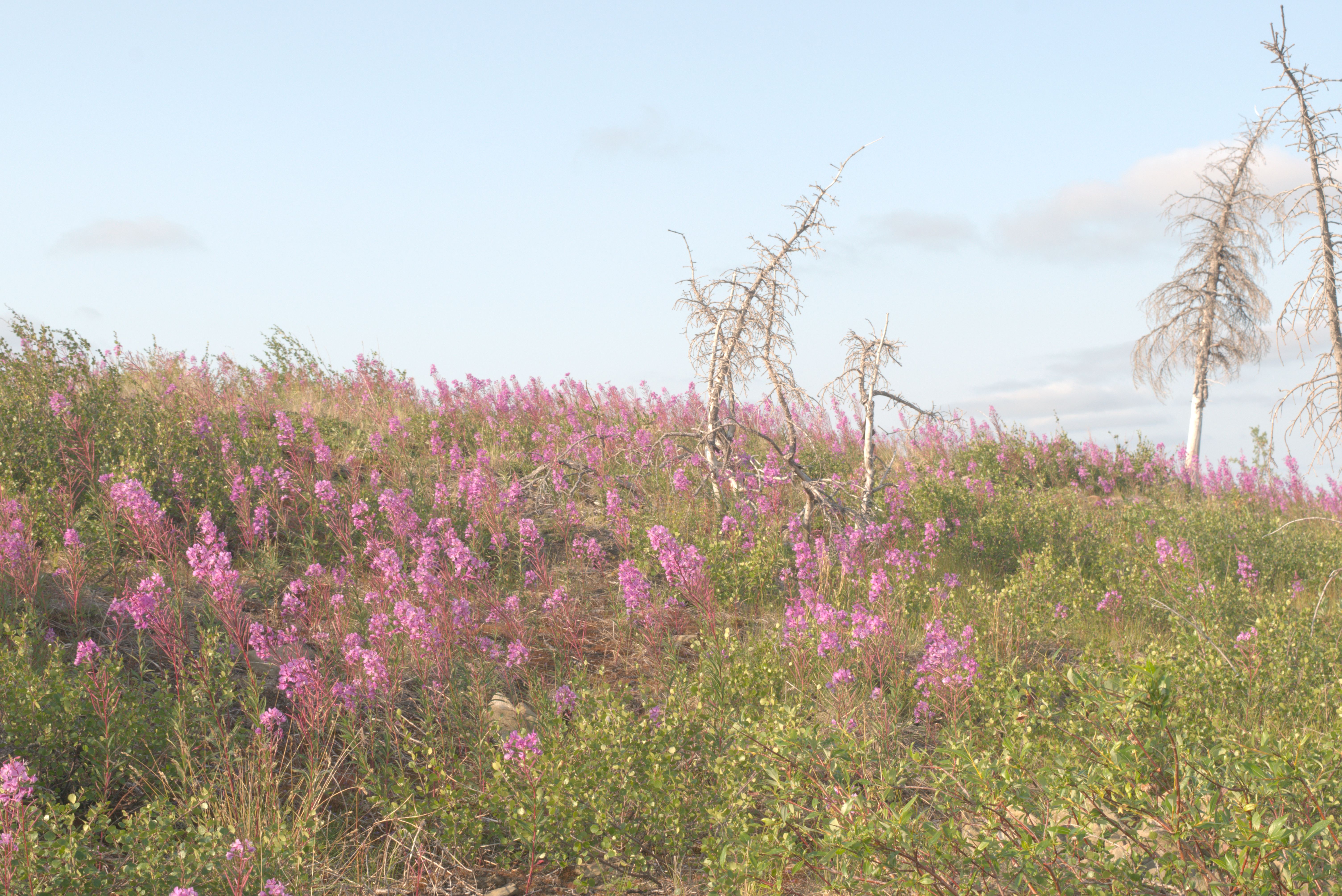
Stayed overnight by the Blackstone River, just north of Tombstone Provincial Park.
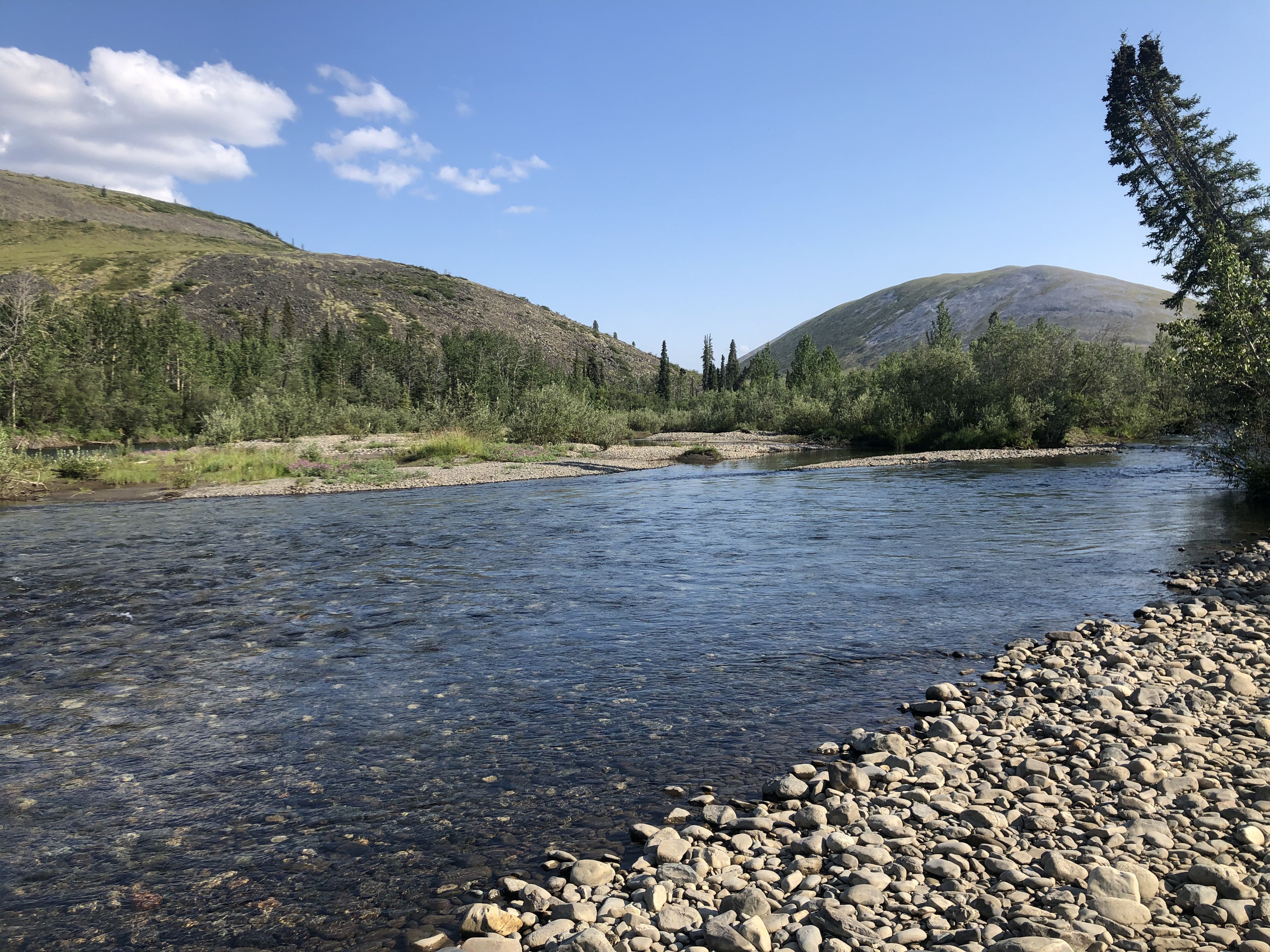
Blackstone River, just north of Tombstone Park. I took a bath here, and the current was so strong that I worried I might be swept away.
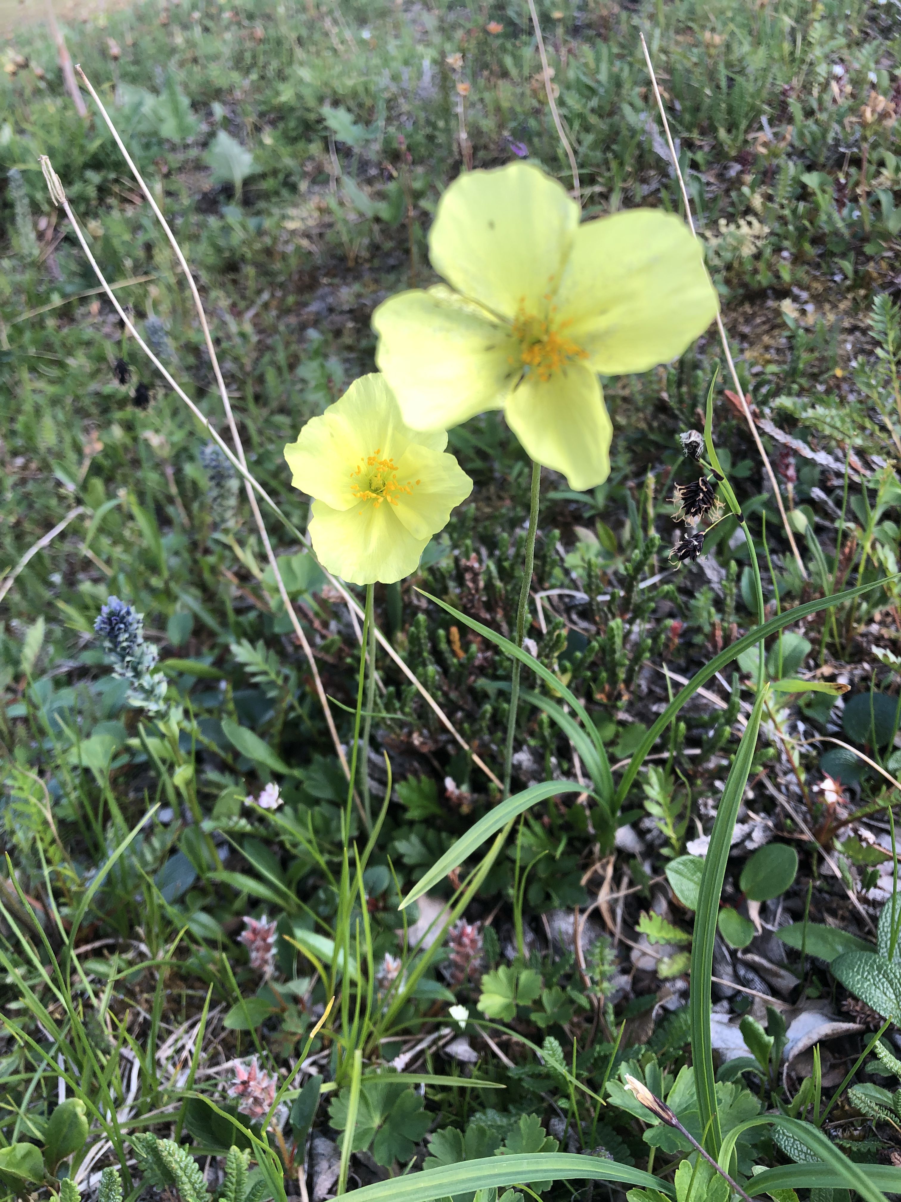
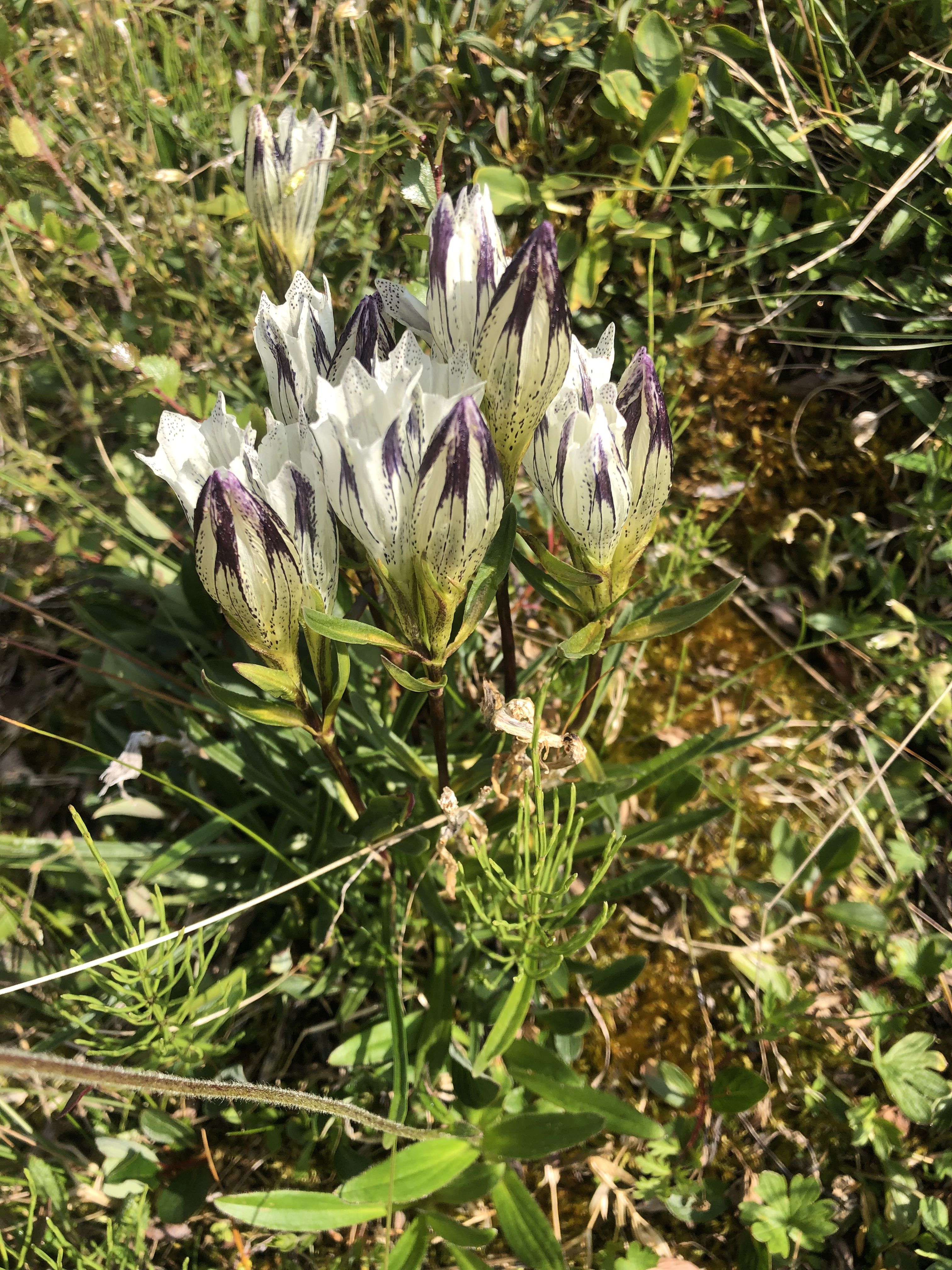
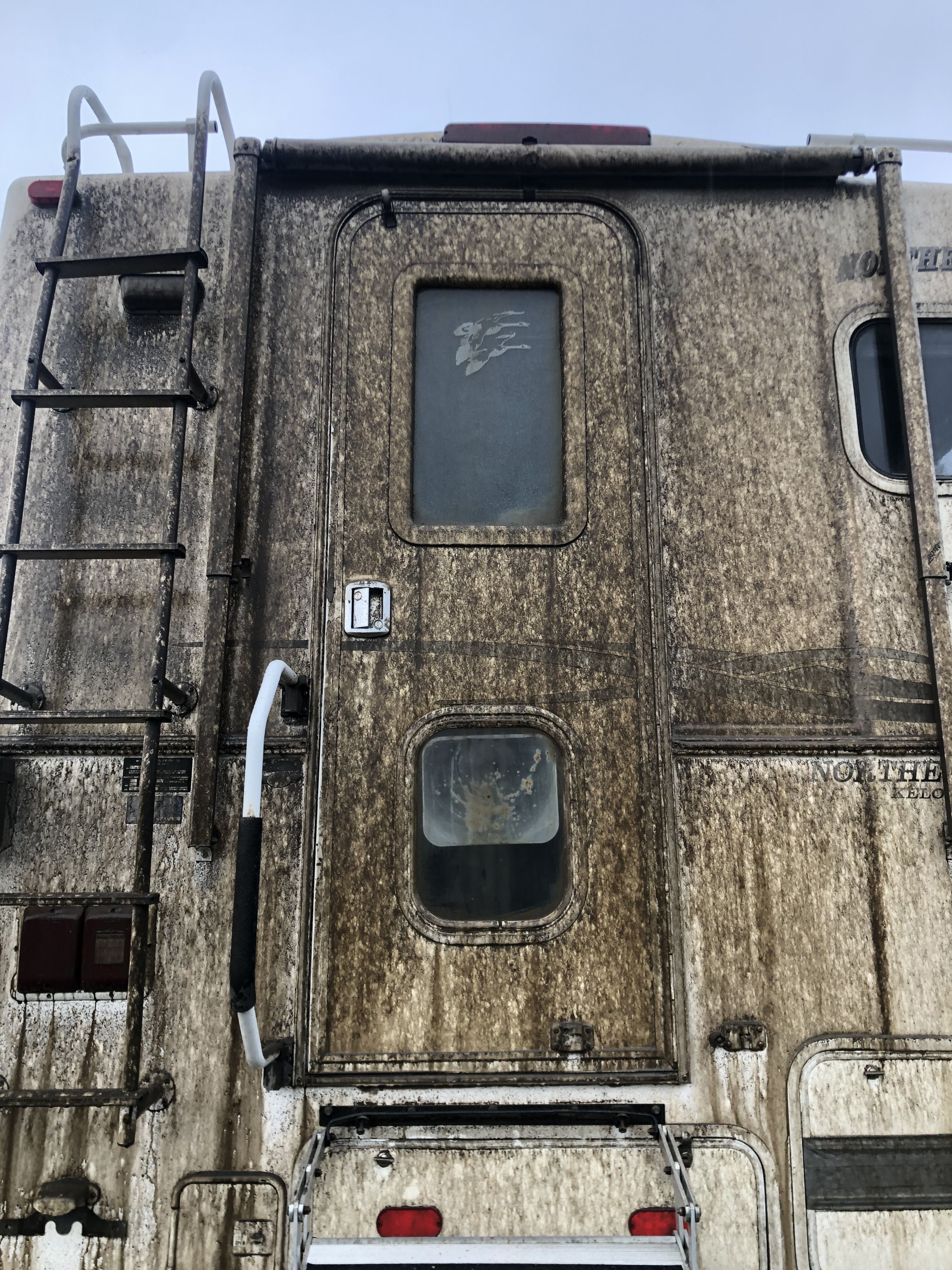
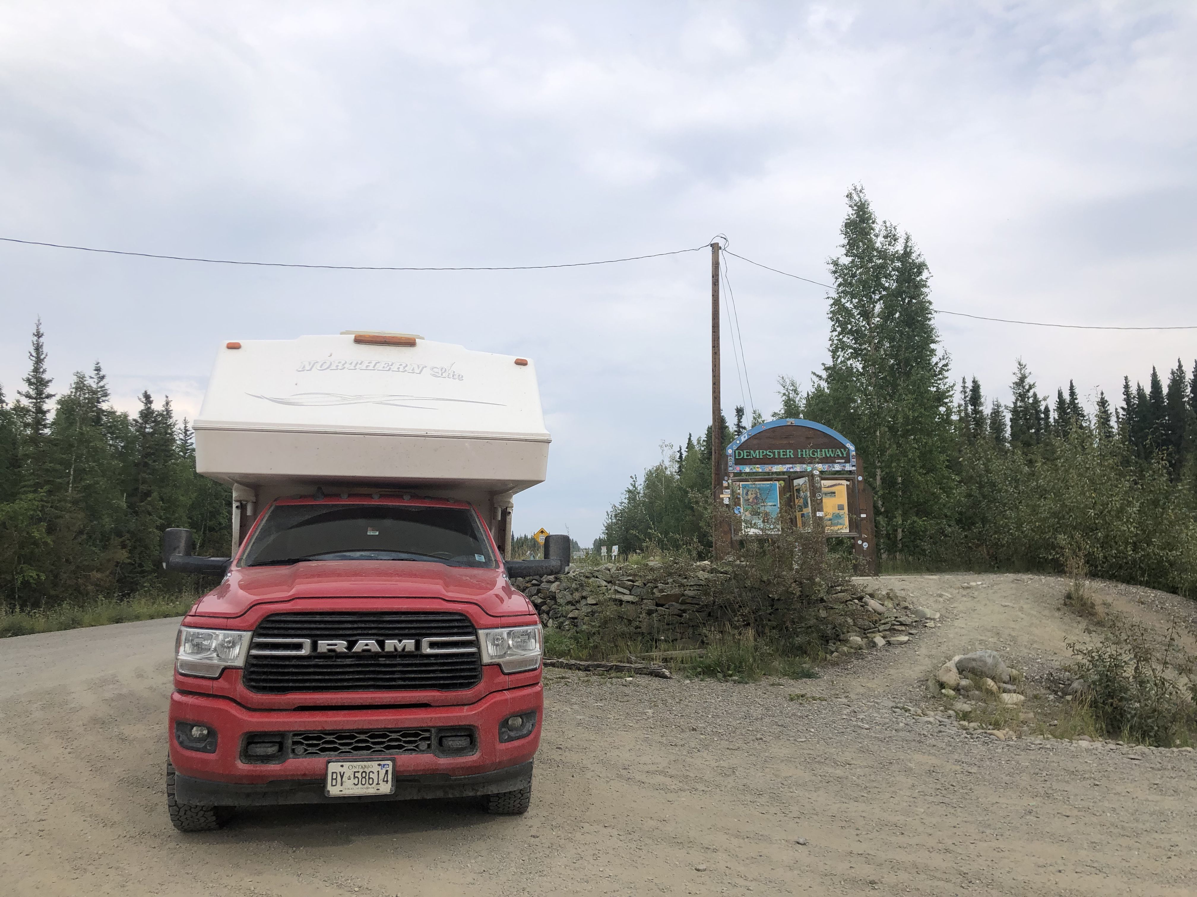
We are arriving in Dawson City.
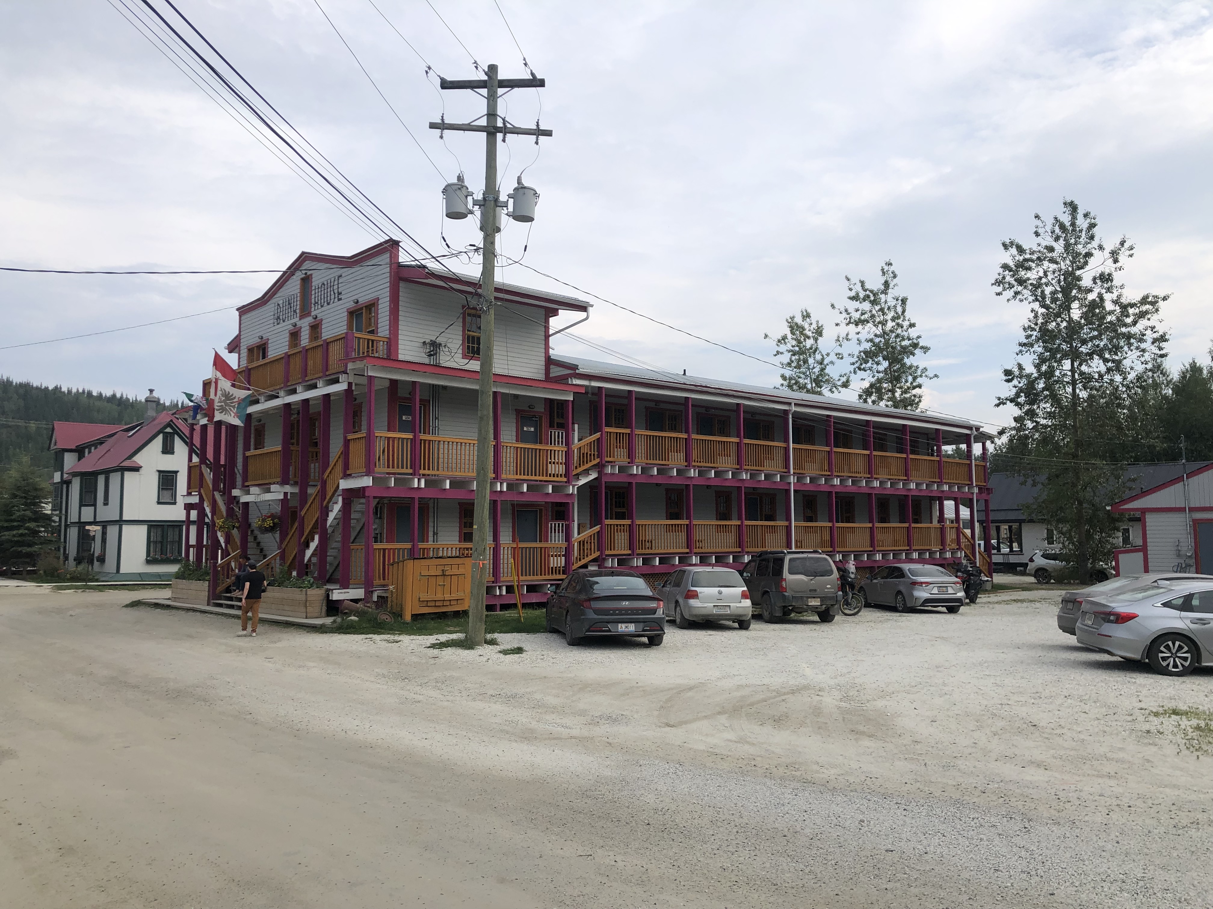
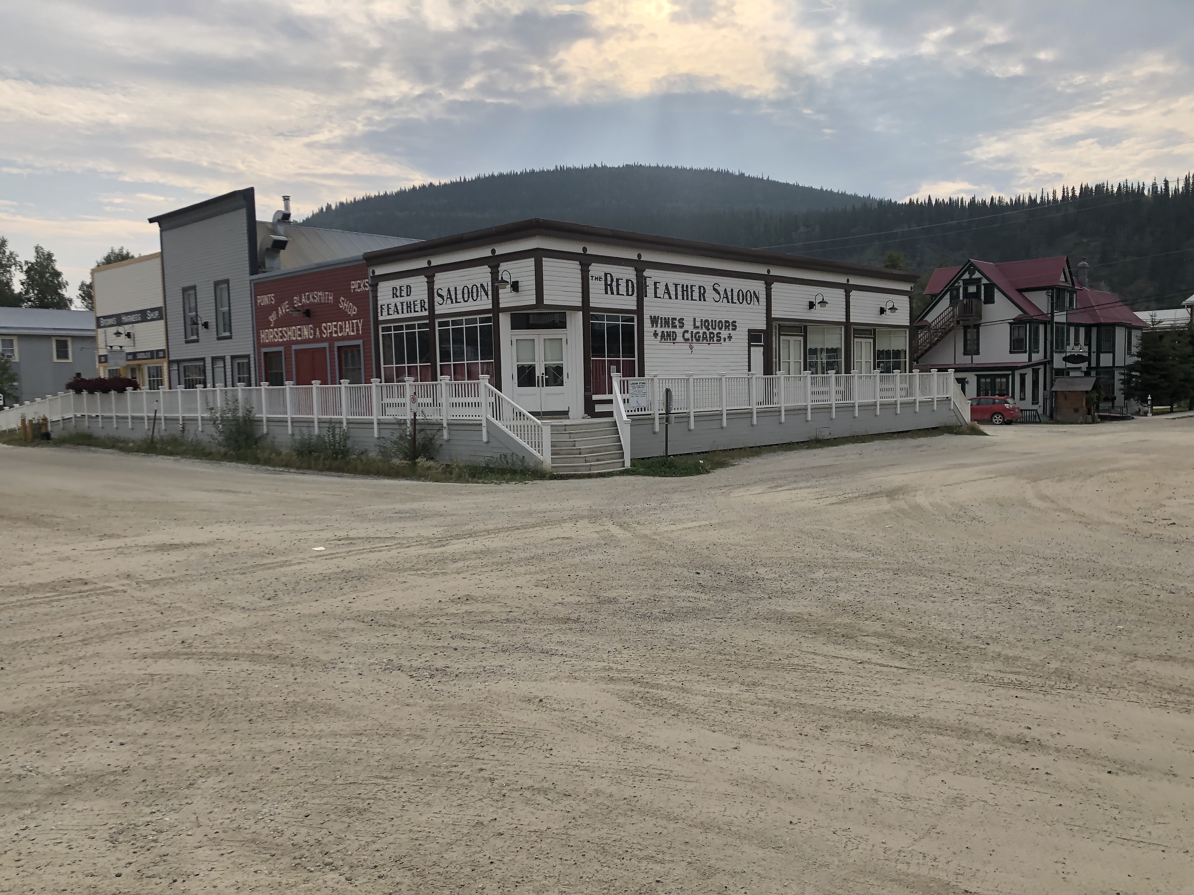
Dawson City is a Parks Canada Historic Site, where many of its historic buildings have been restored and revitalized by Parks Canada.
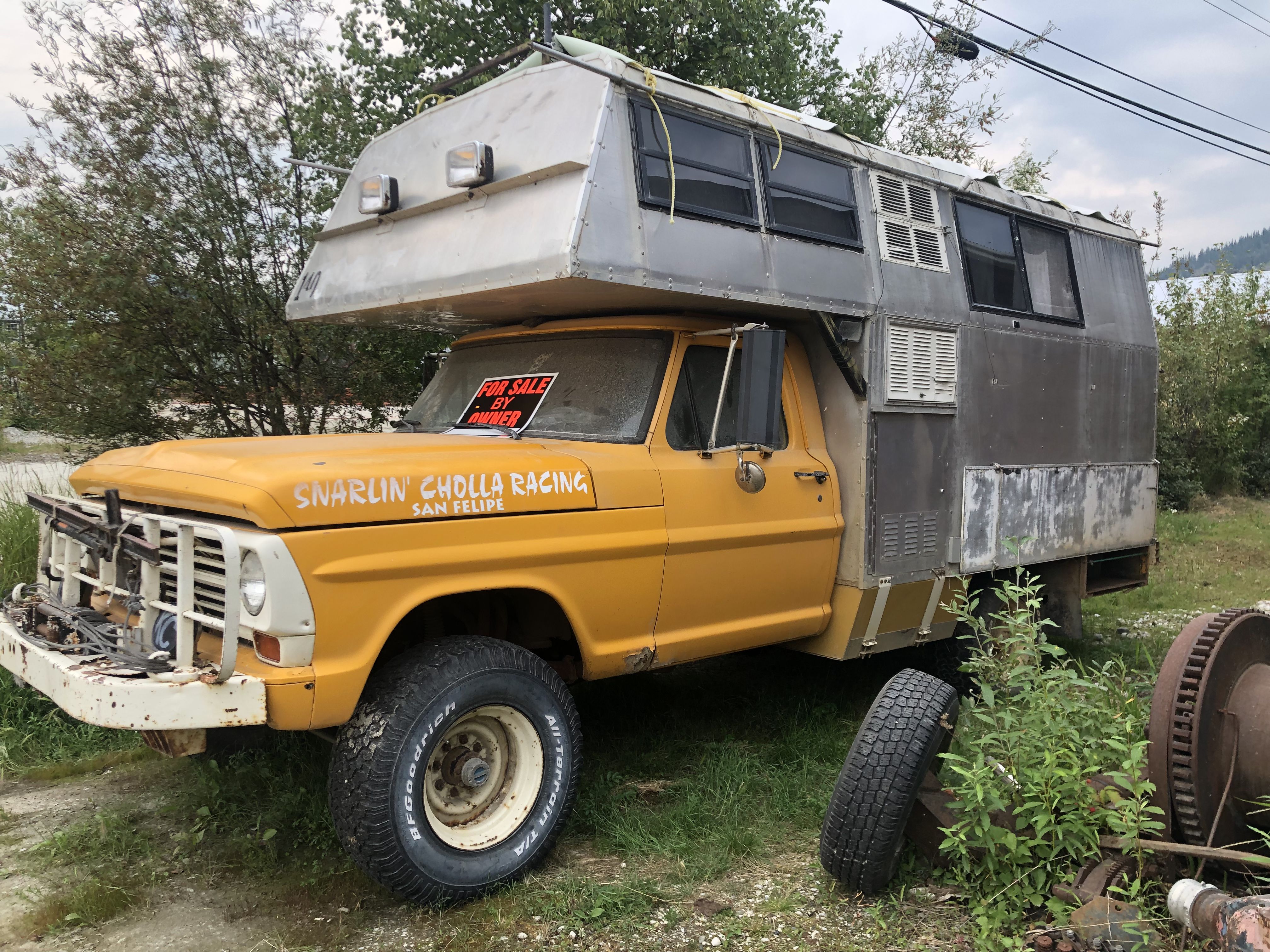
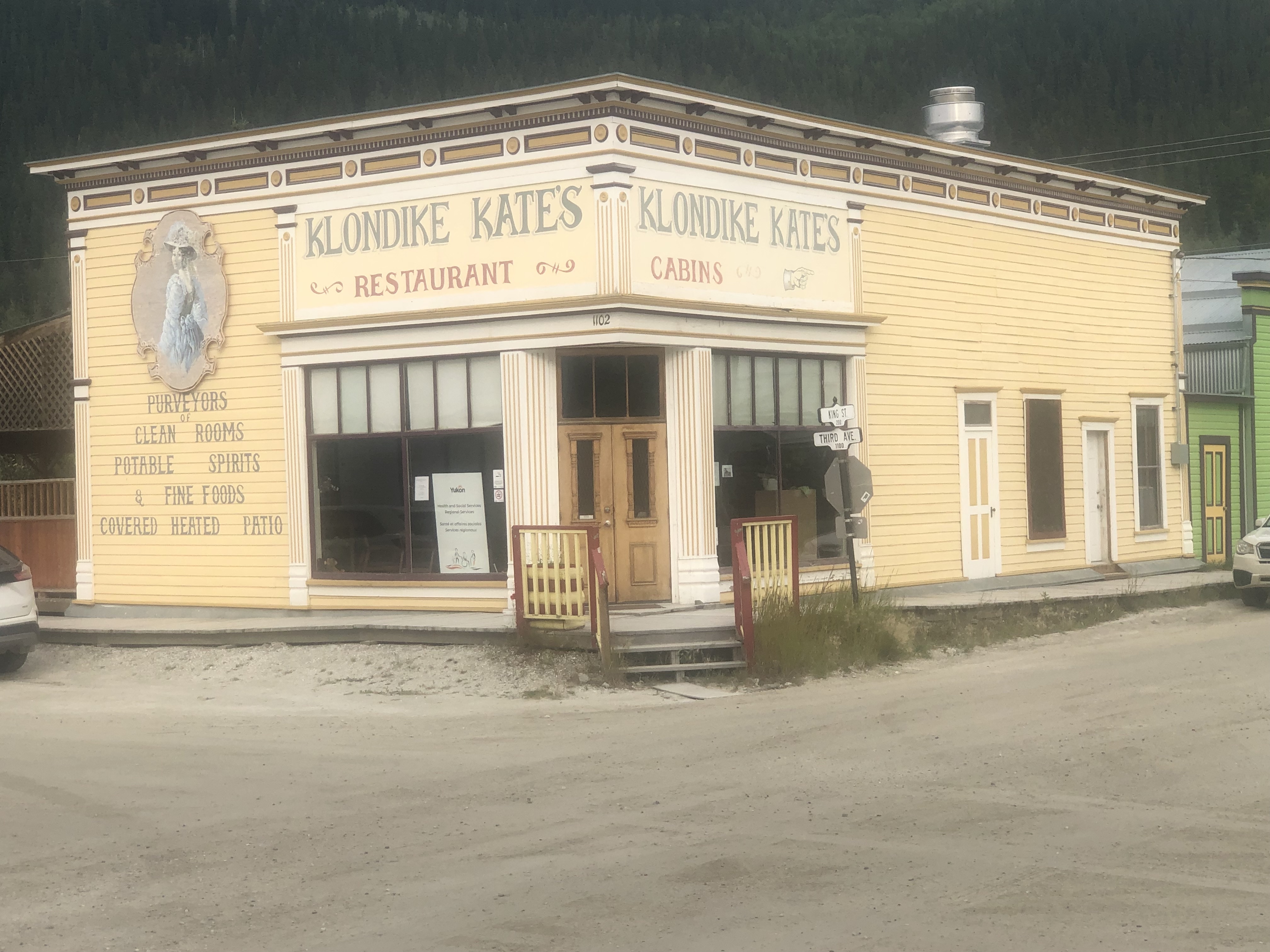
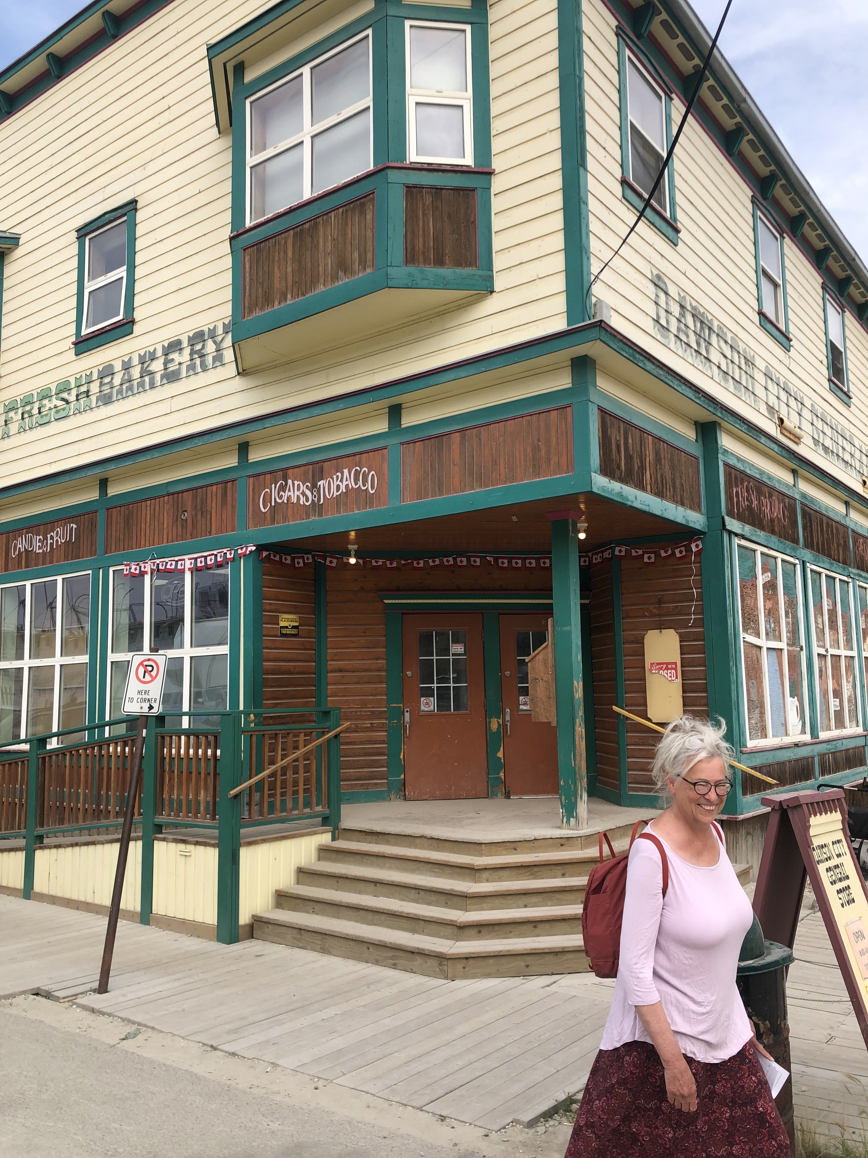
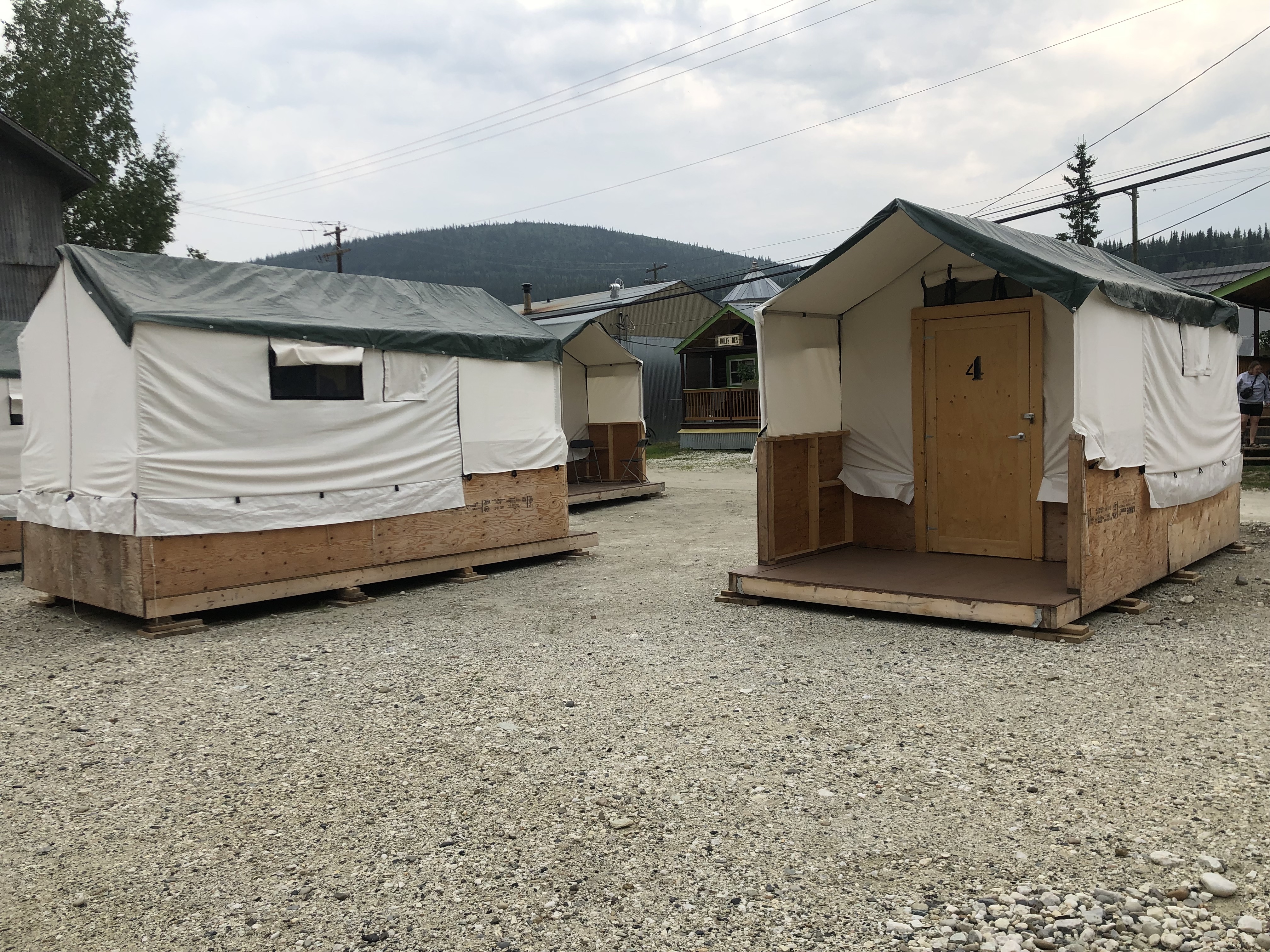
Want to sleep like a gold digger? This is close to how they did it back in the day. The tents were made of canvas, and in winter, they added spruce branches to the outside and shoveled snow on top for insulation.
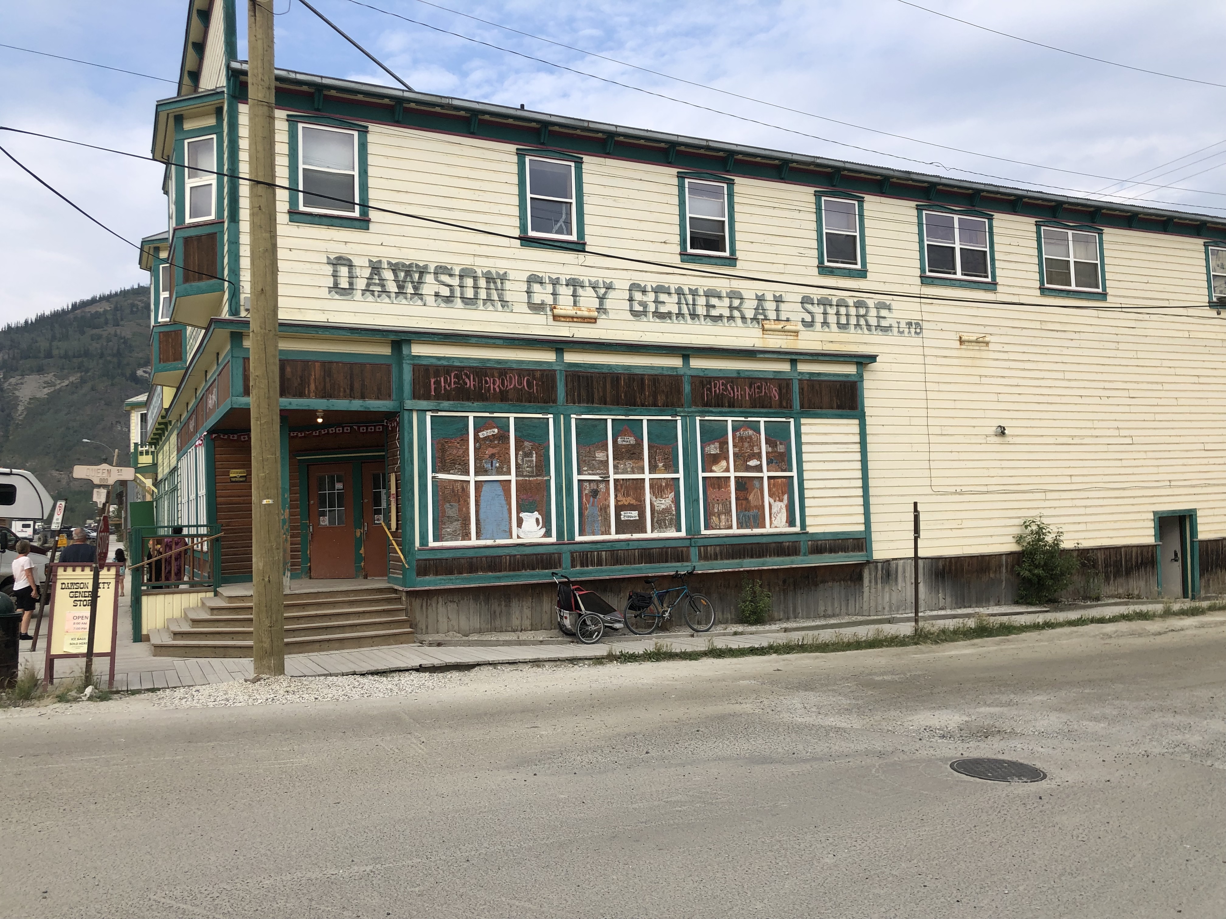
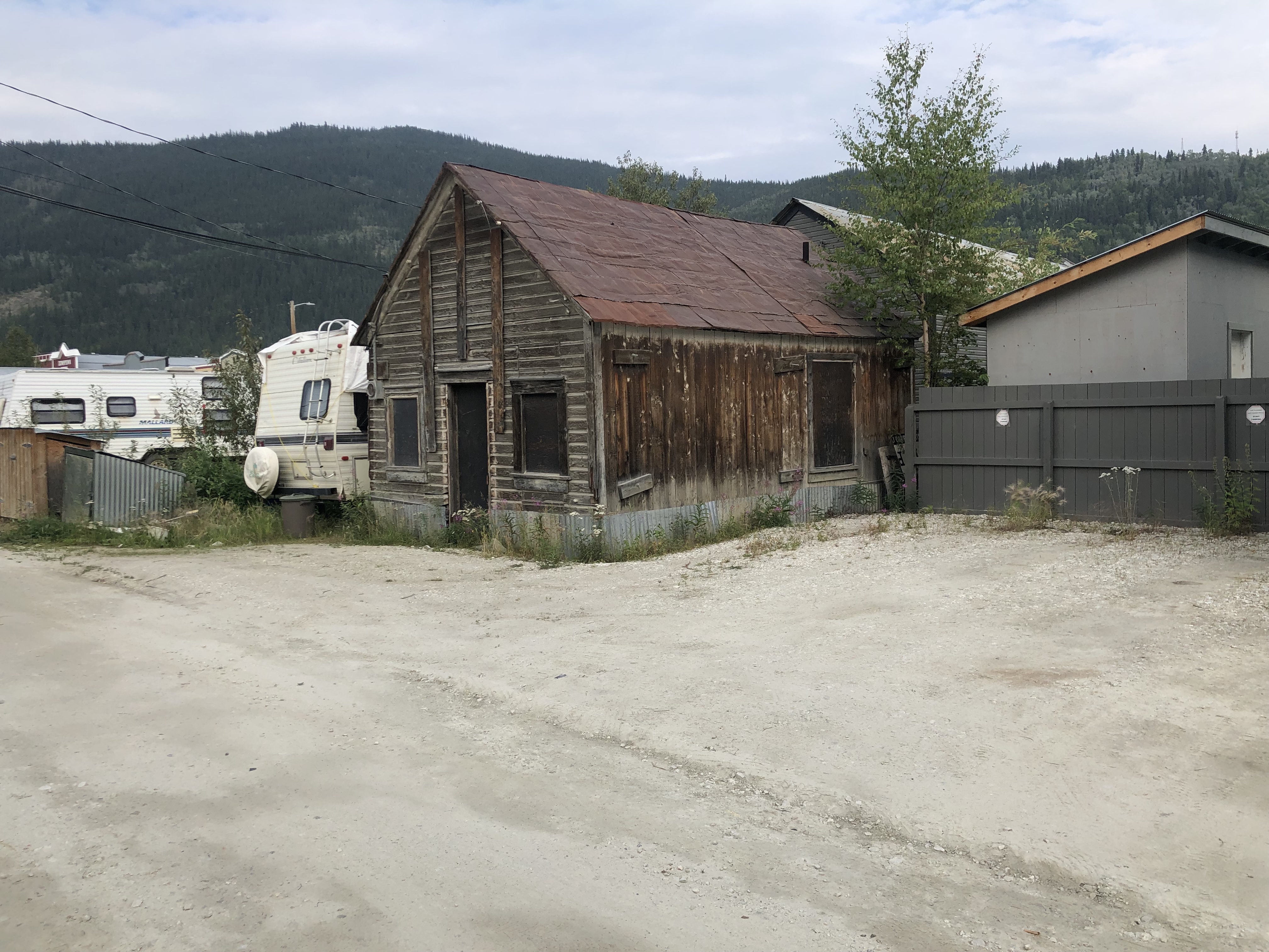
This one is still in need of some TLC. The morgue in Dawson looked very similar!
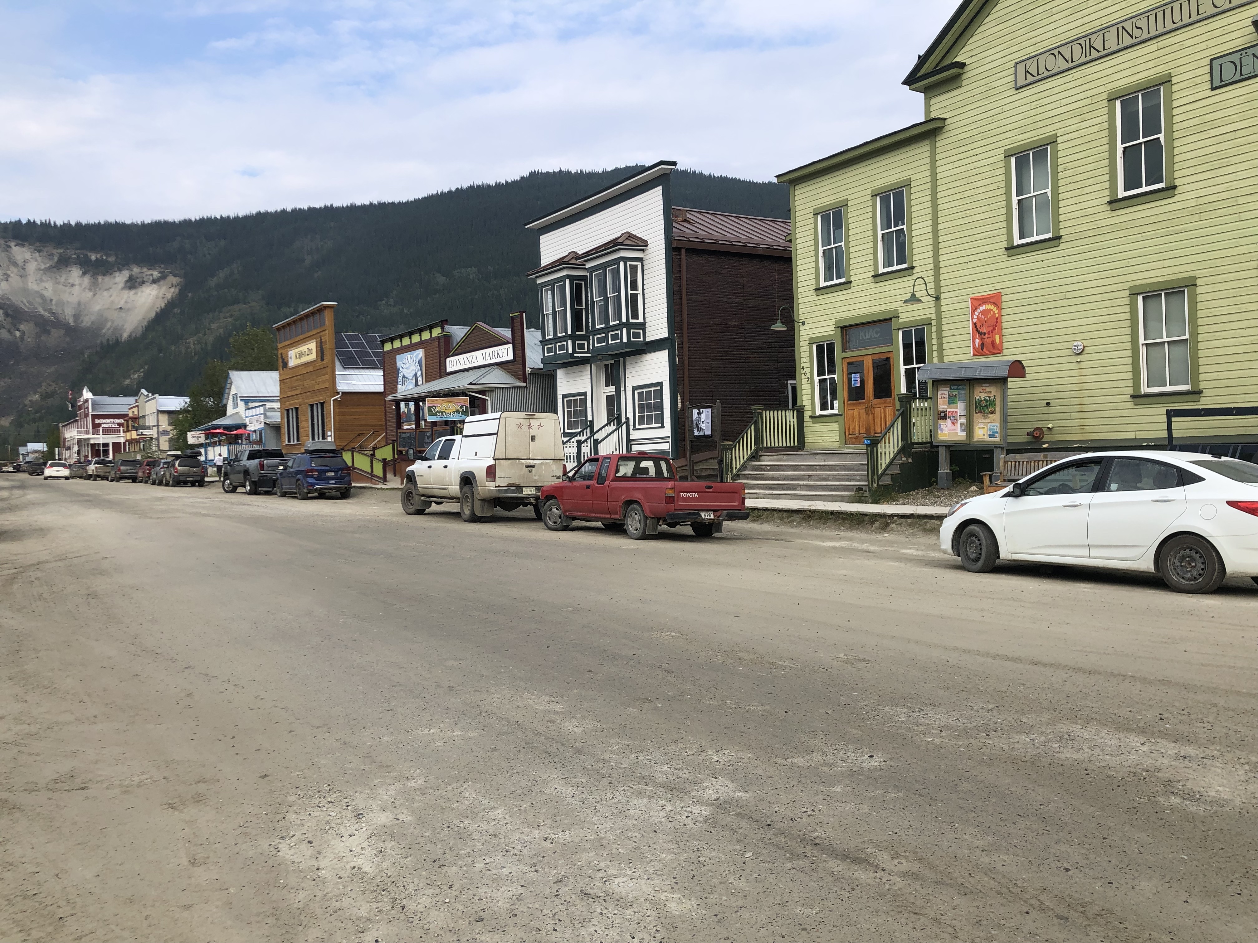
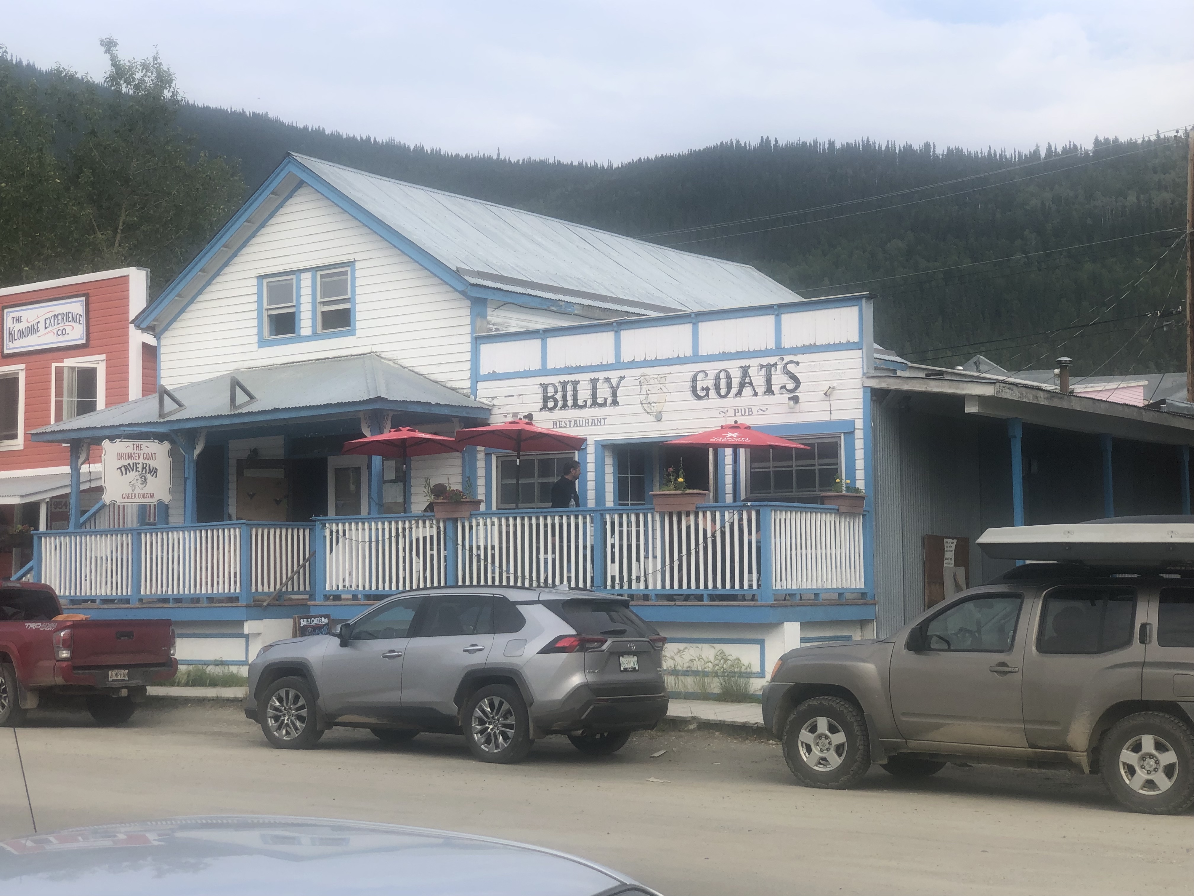
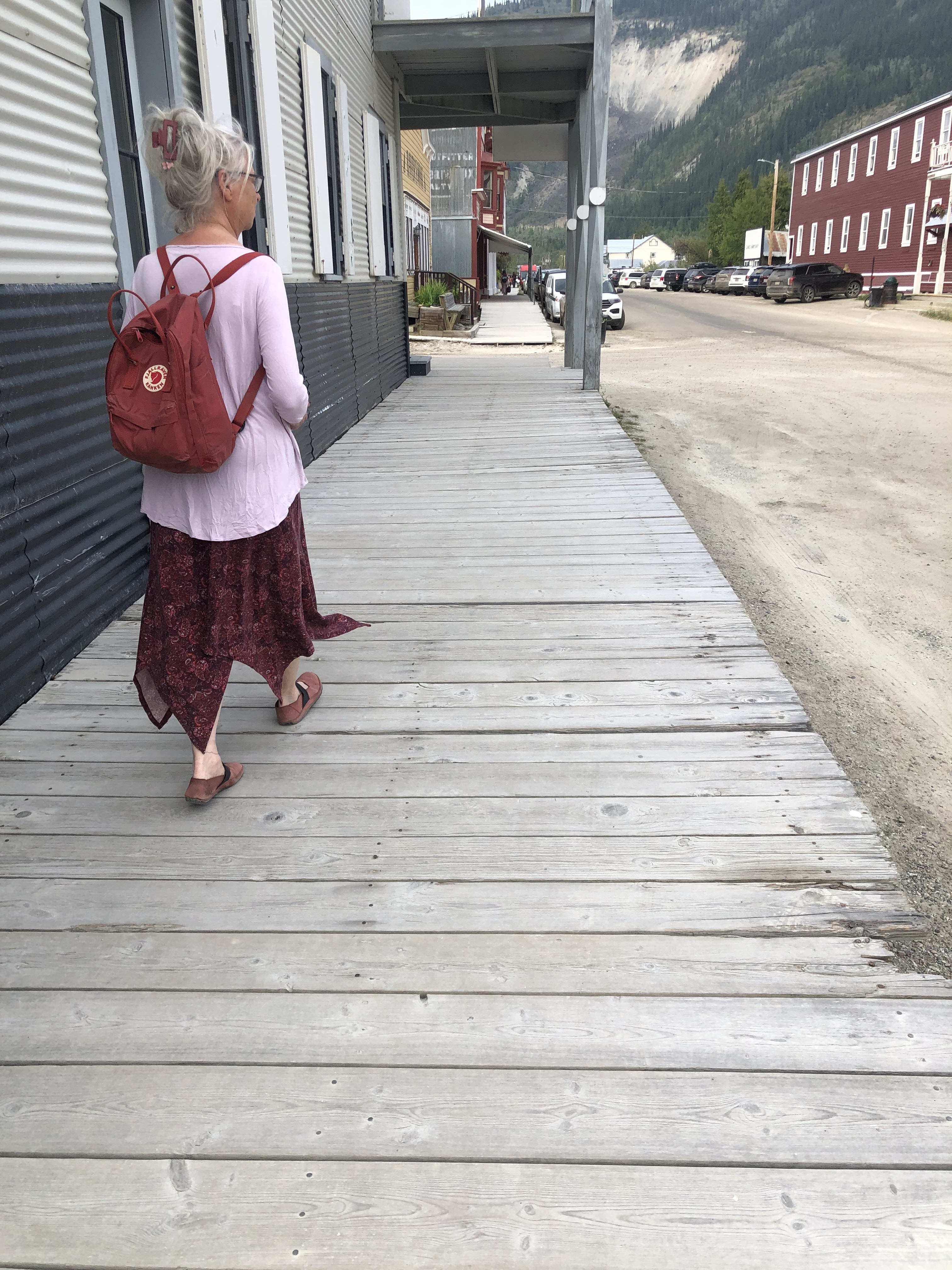
Since the roads are all dirt, these boardwalks are especially useful when it rains.
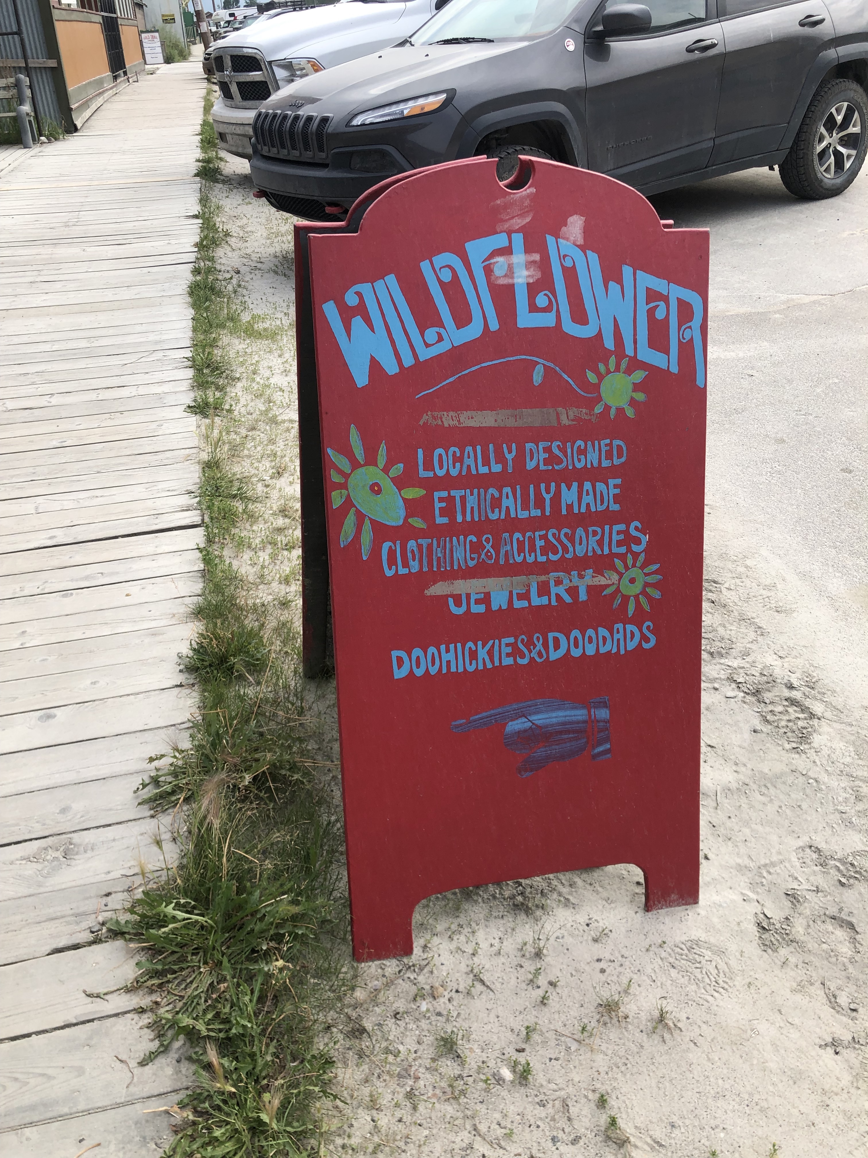
Doohickies are a thing, not just in our Lion’s Head yard.
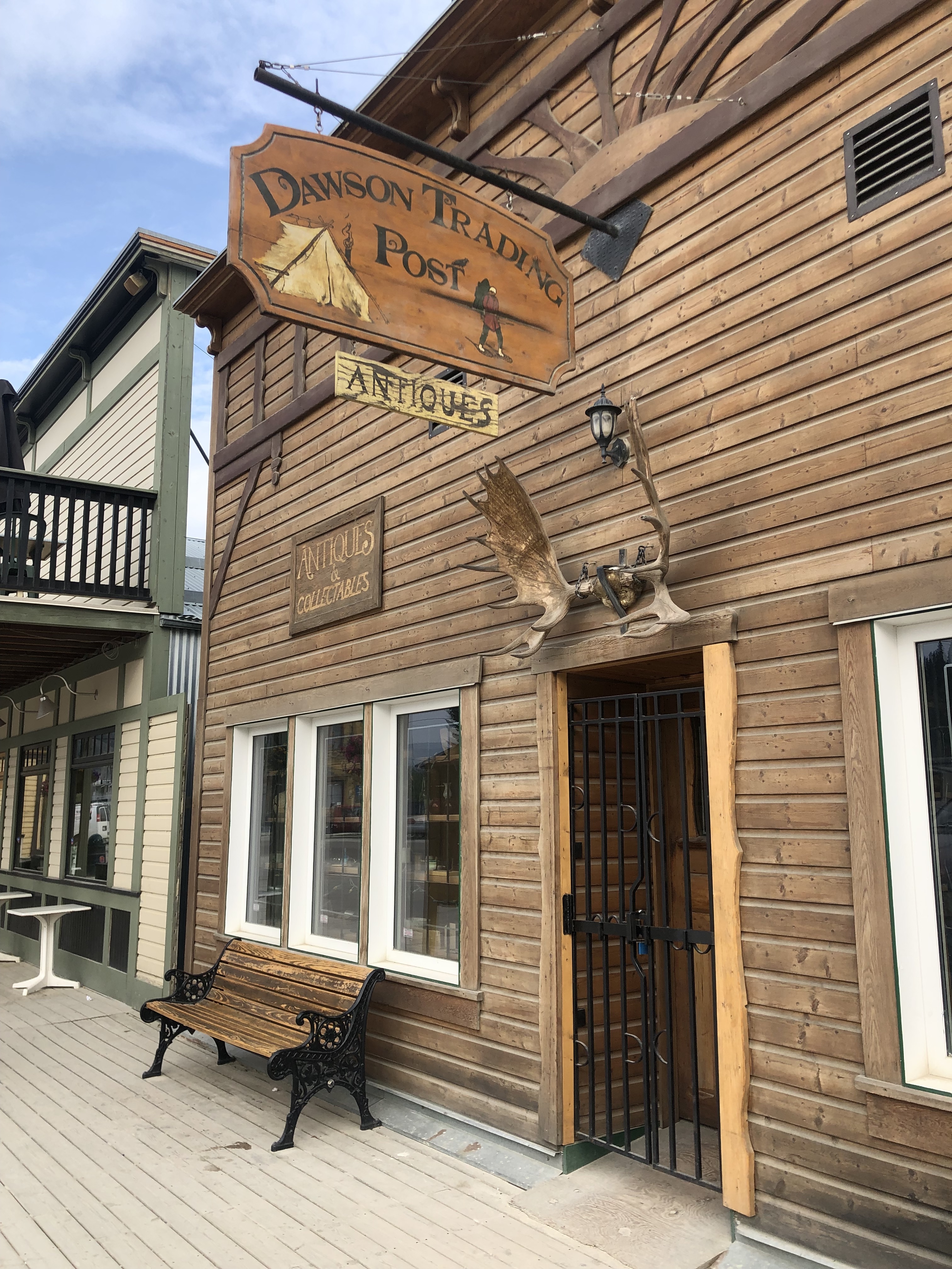
This is the most important place in town—second only to the liquor store.
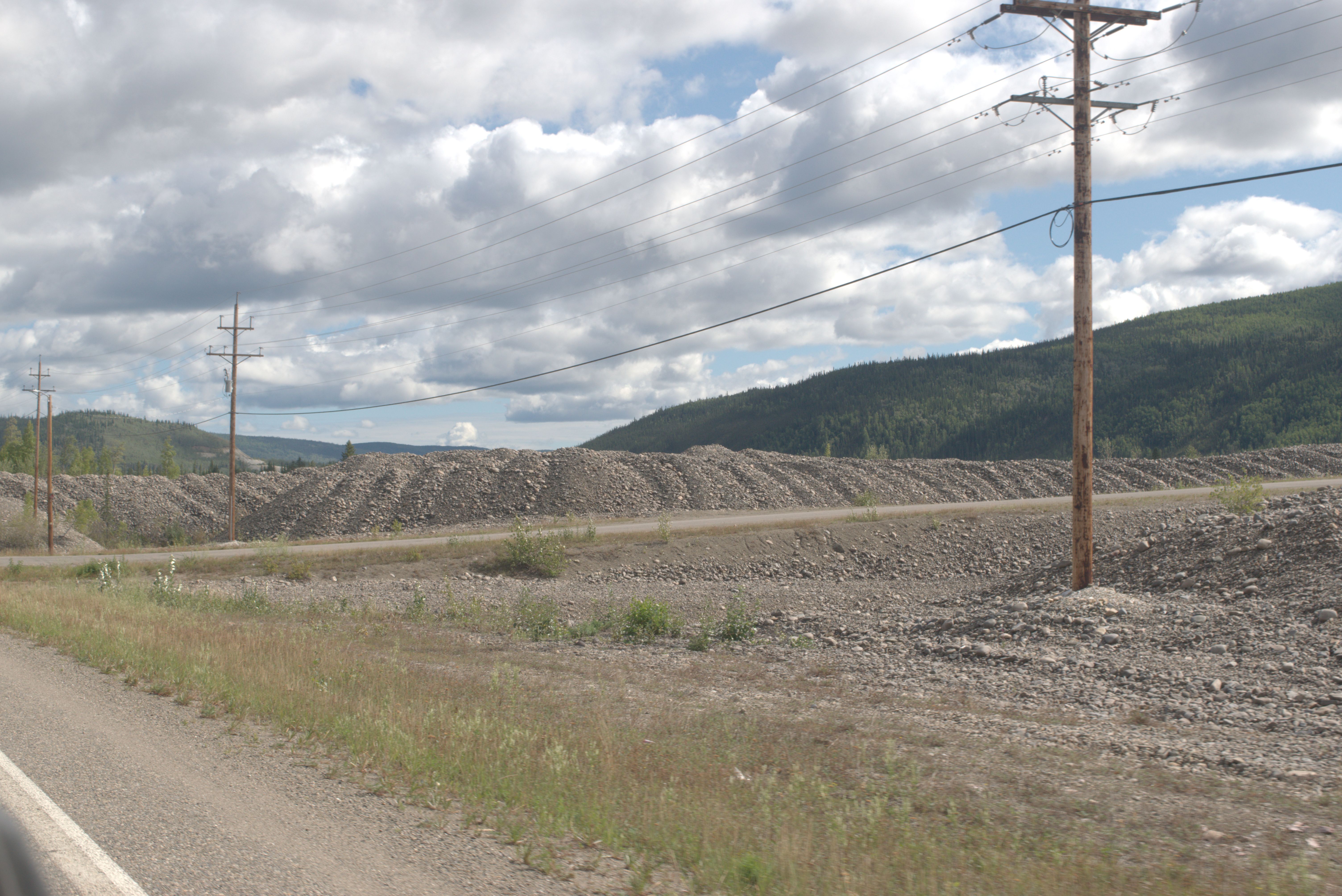
The floating dredging units dig up the river or pond bed, wash out the gold, and pile the rocks behind them.
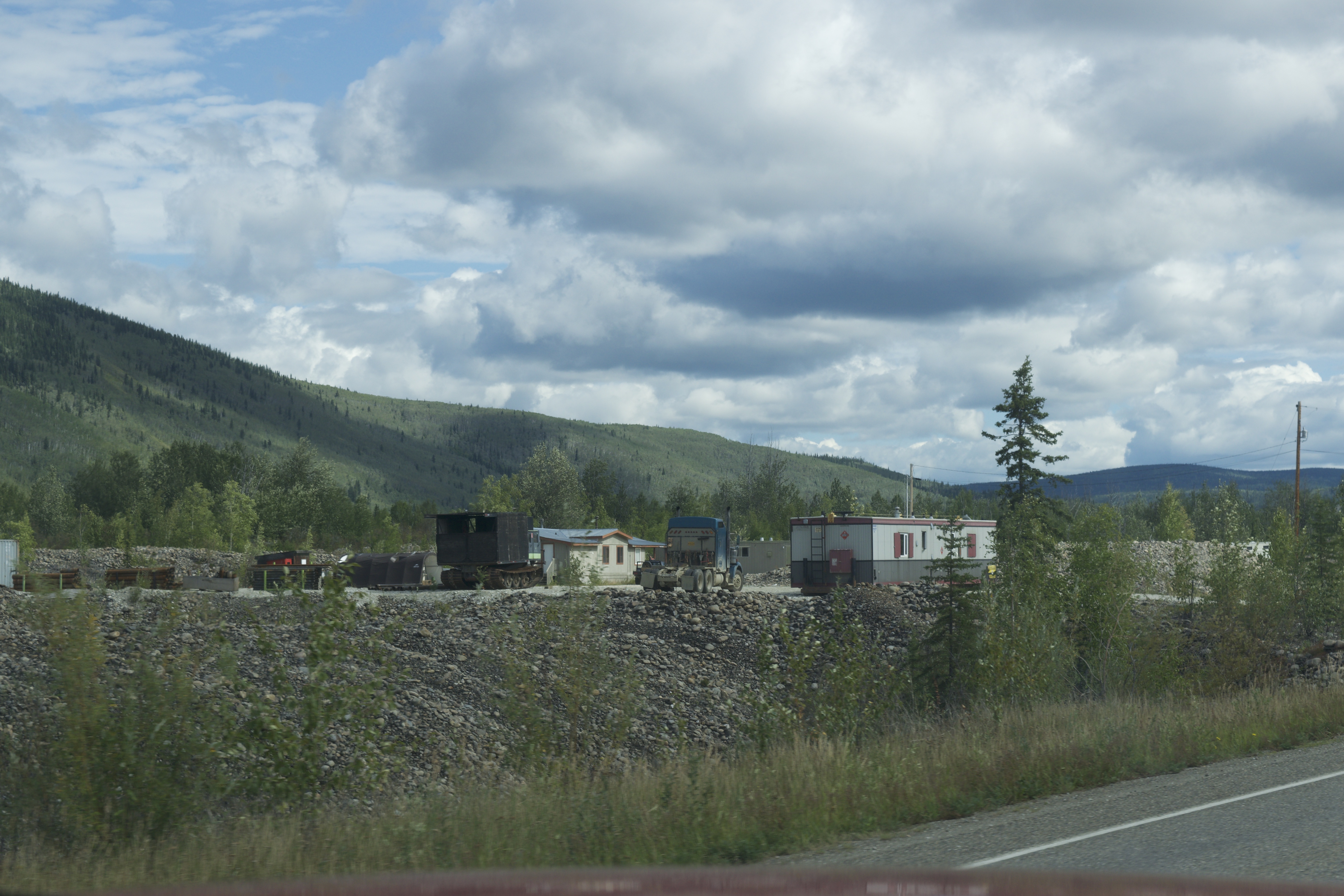
Building lots are in high demand, and real estate is very expensive, so subdivisions are developed on the gravel piles.
This is a great example of a successful restoration.
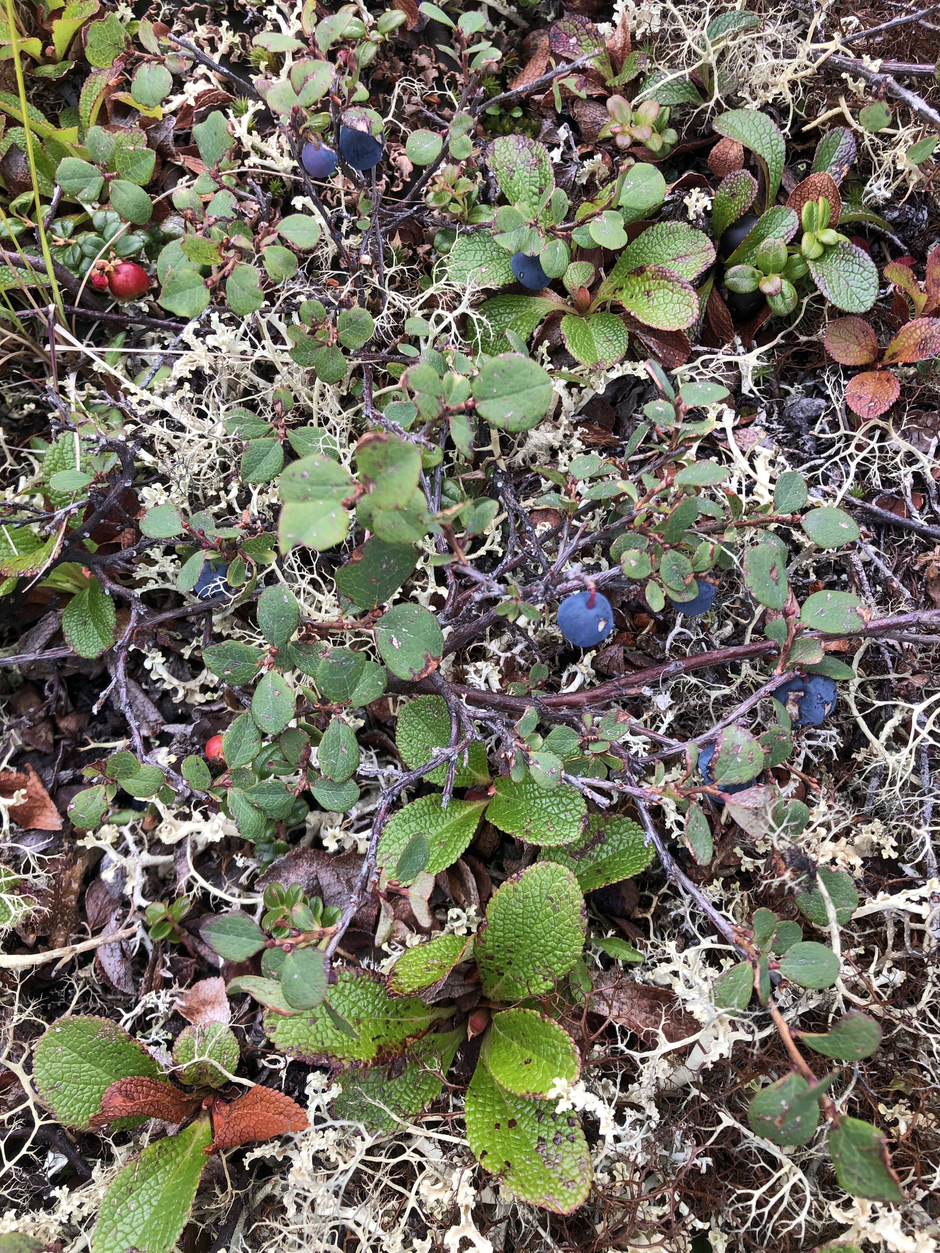
The blueberries don’t grow much higher than the lichen.
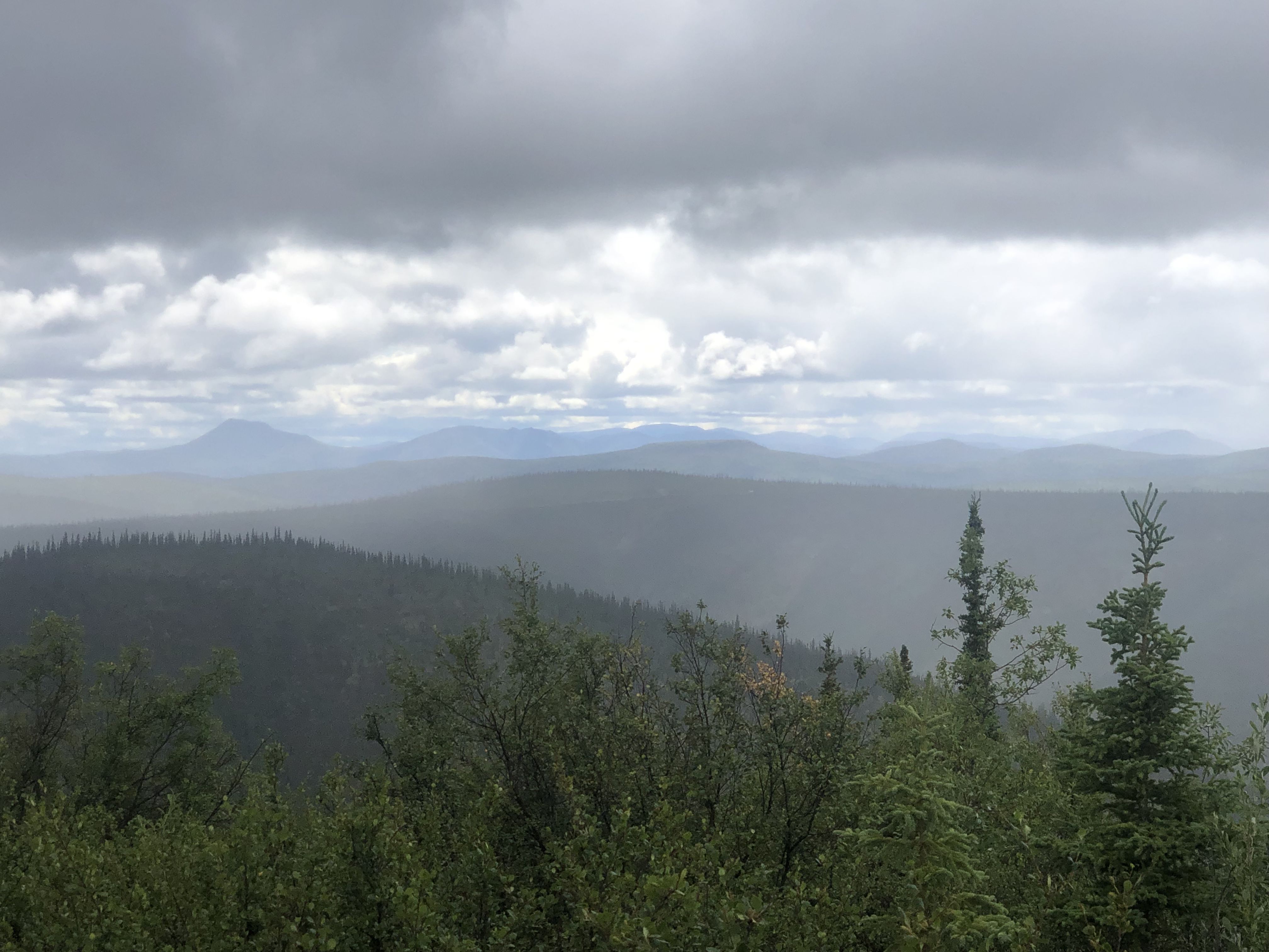
Standing on the hills offers expansive views of the landscape, this time under a cloudy sky.
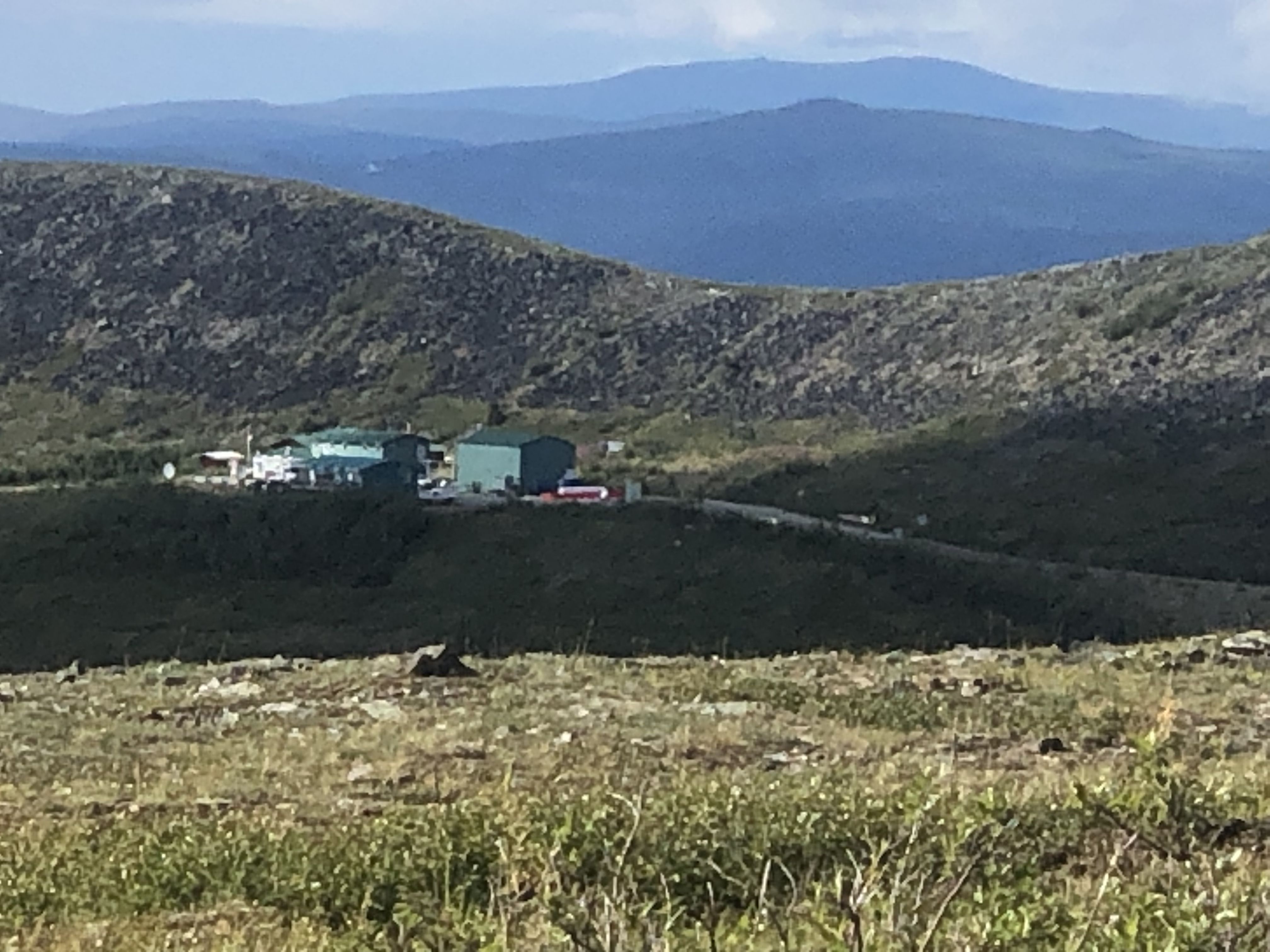
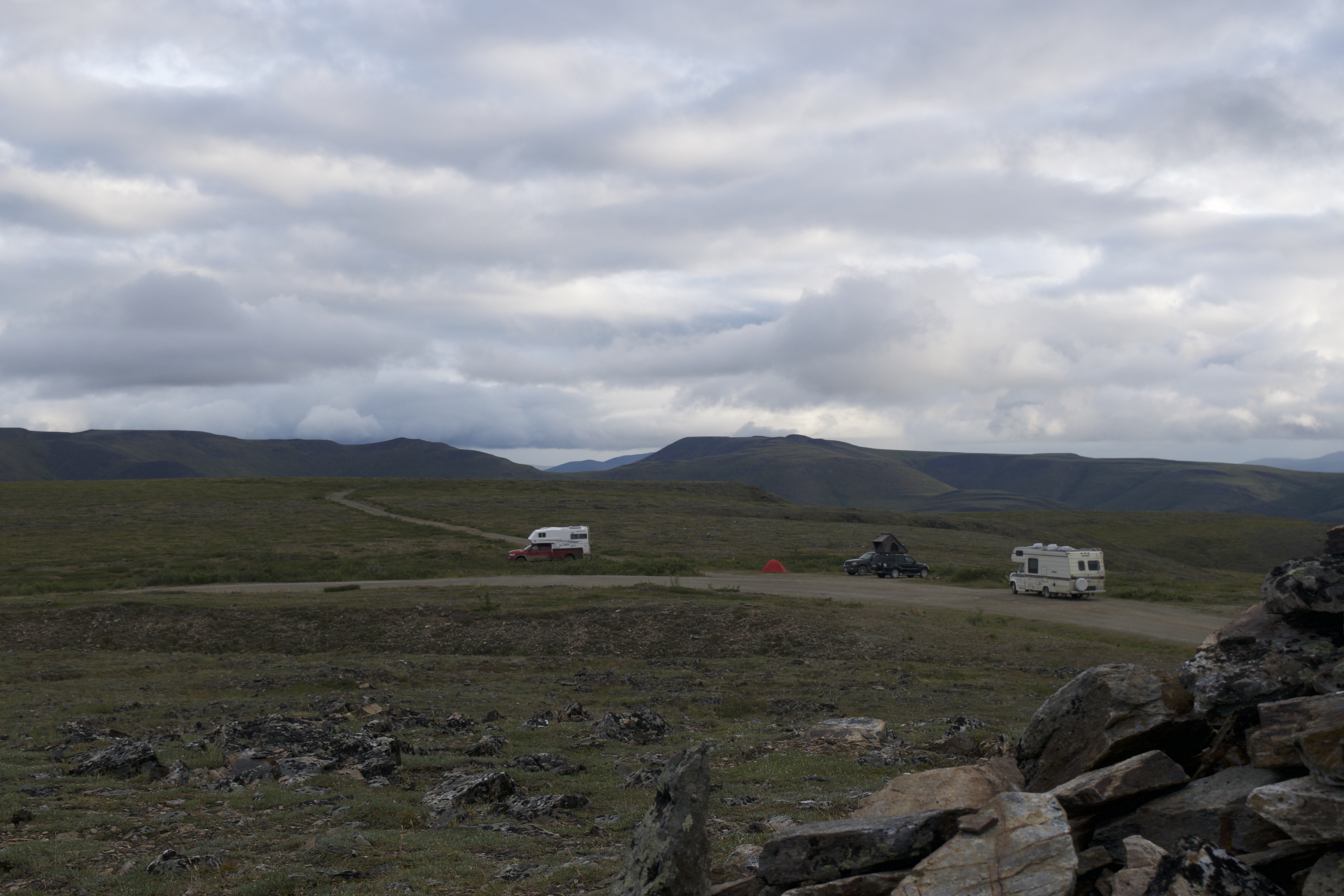
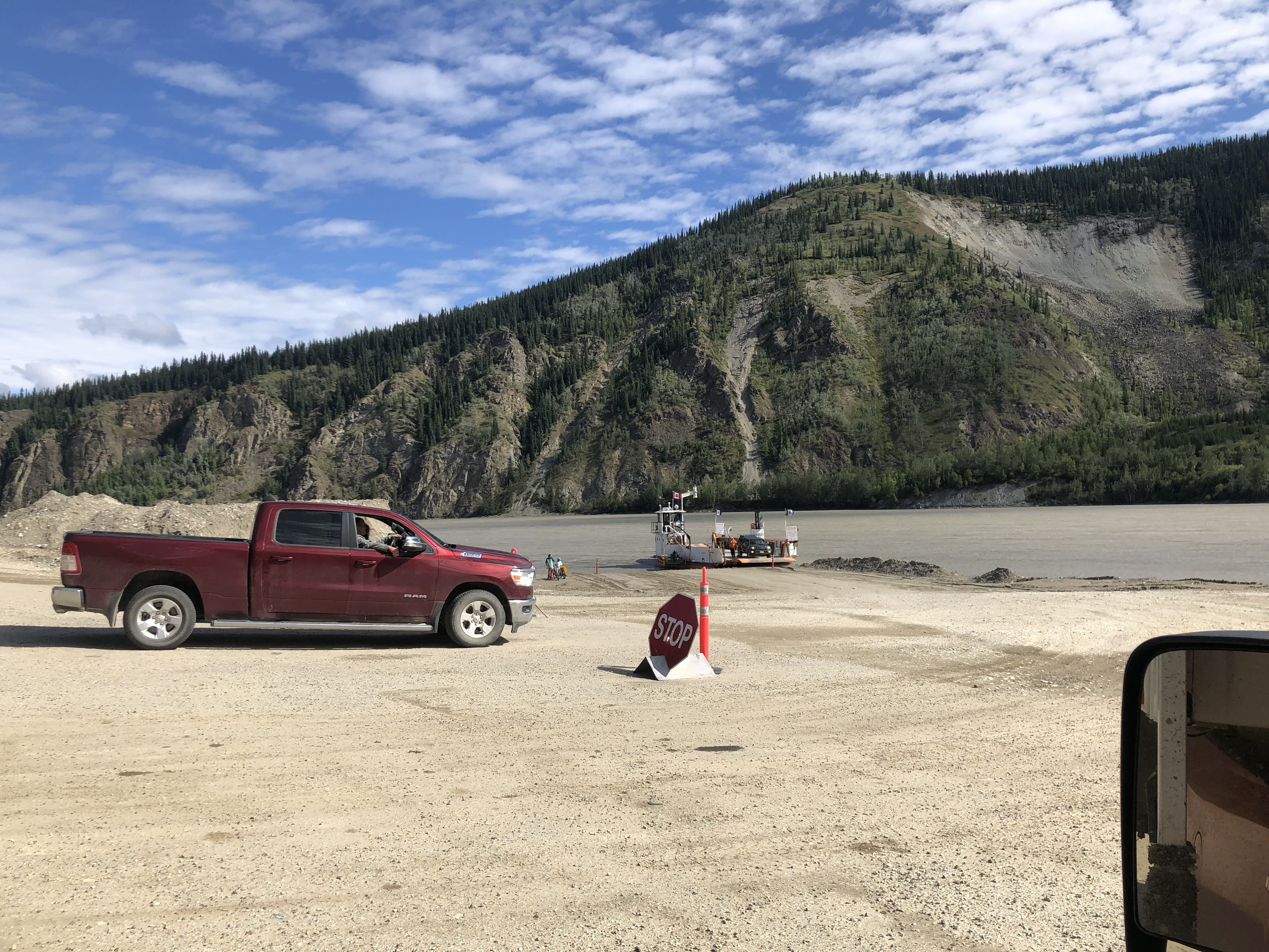
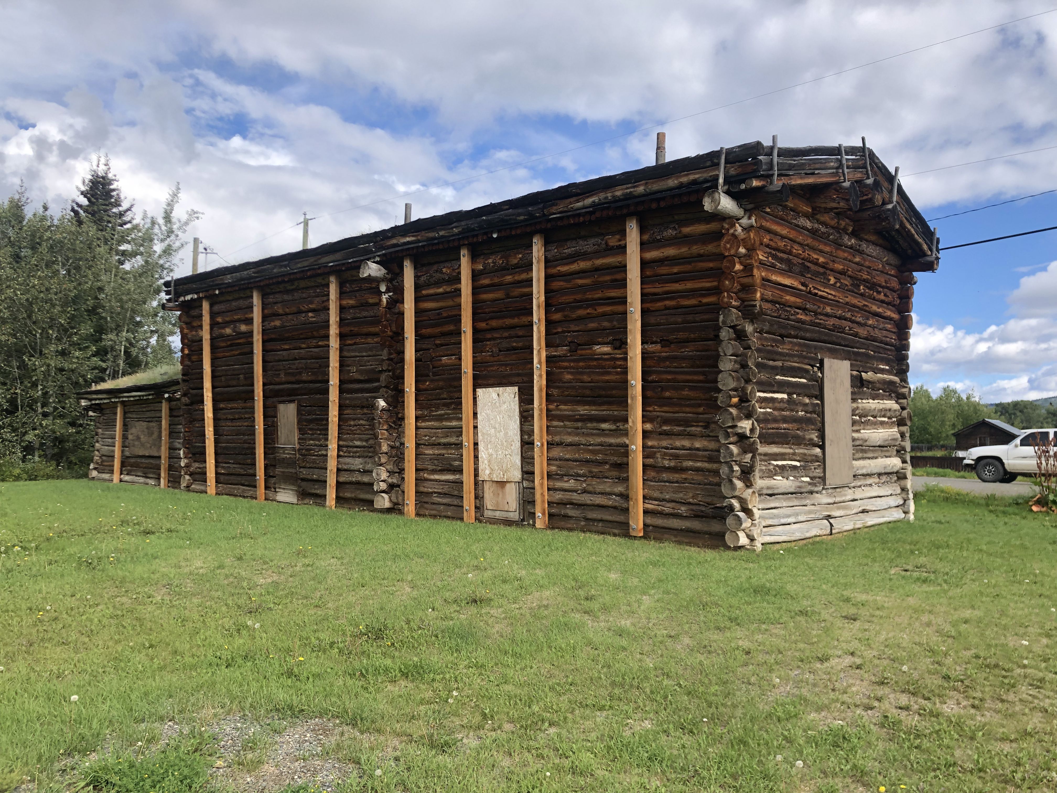
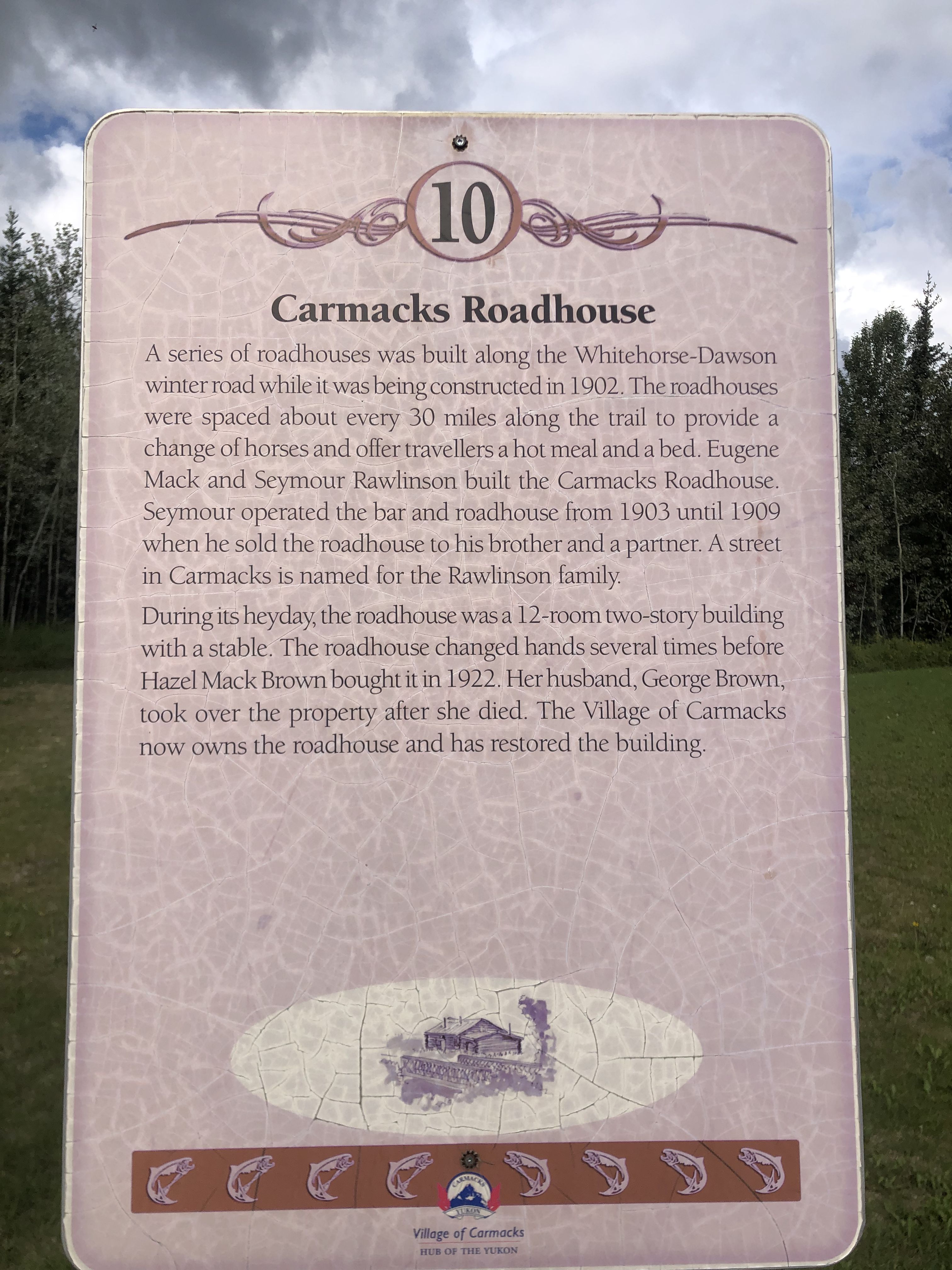
During the gold rush, roadhouses were built about every 30 miles (45 km) to provide fresh horses for the horse-drawn buggies, as well as food and shelter for travelers.
Some of these are now protected as heritage sites.
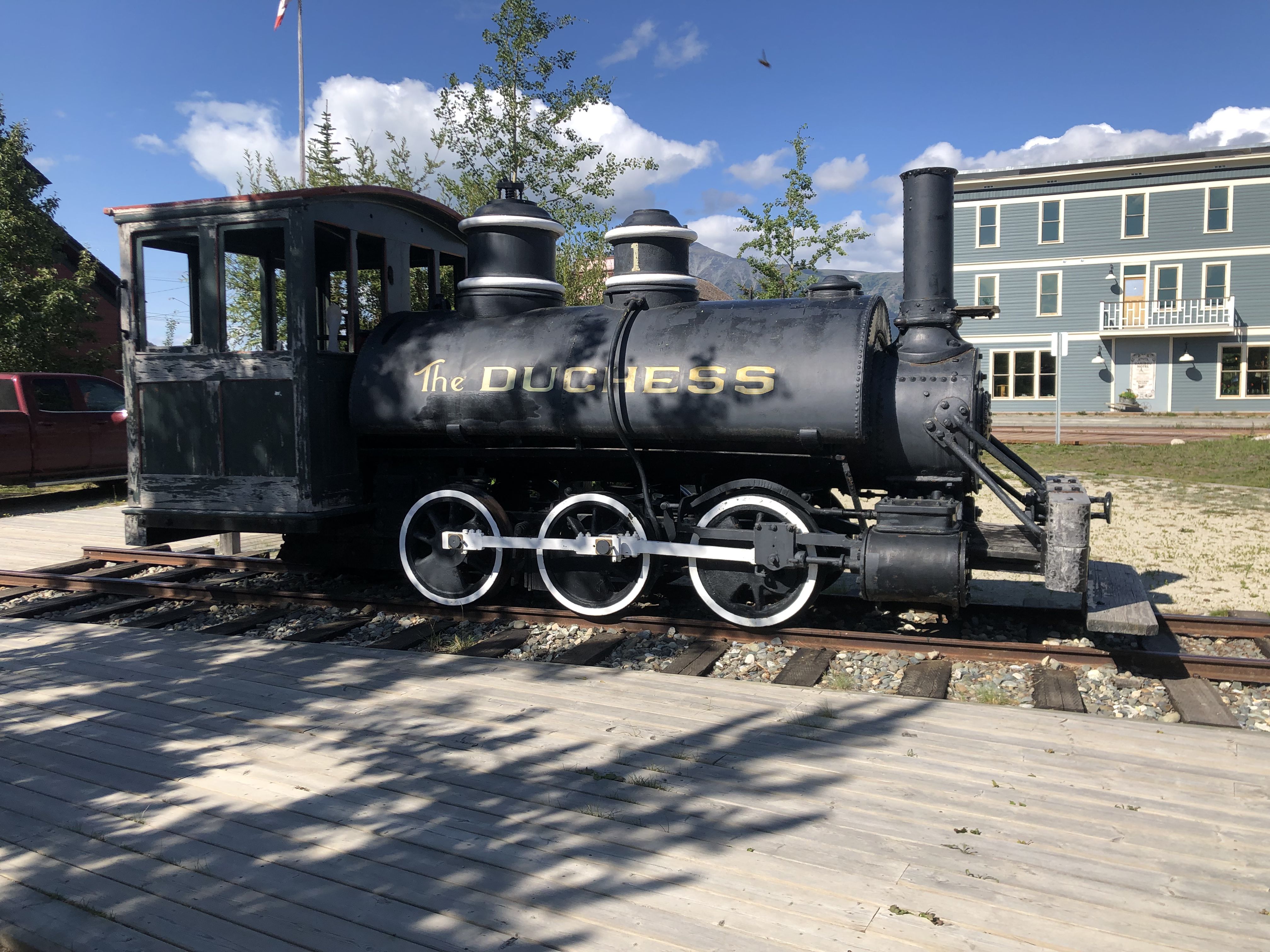
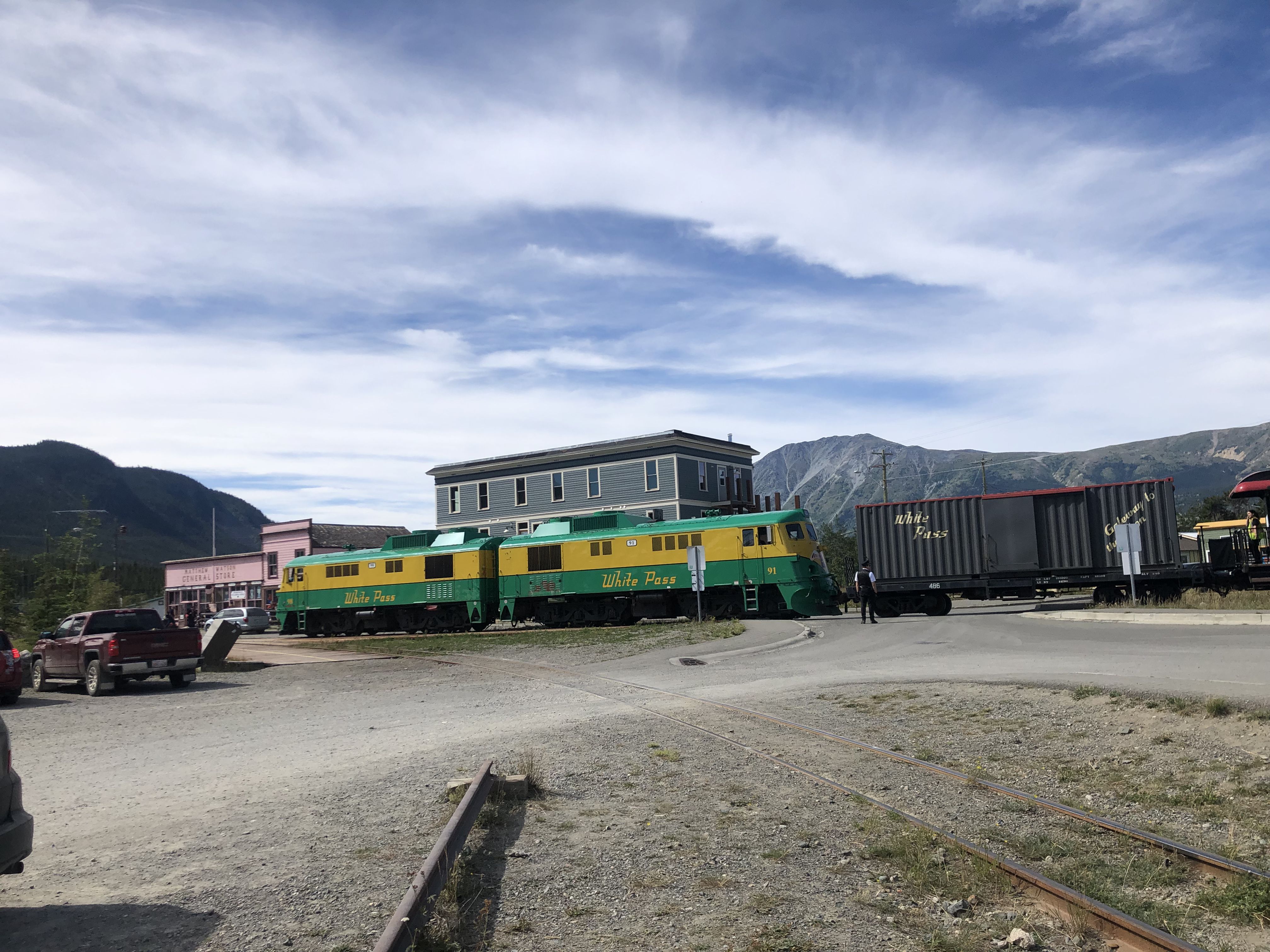
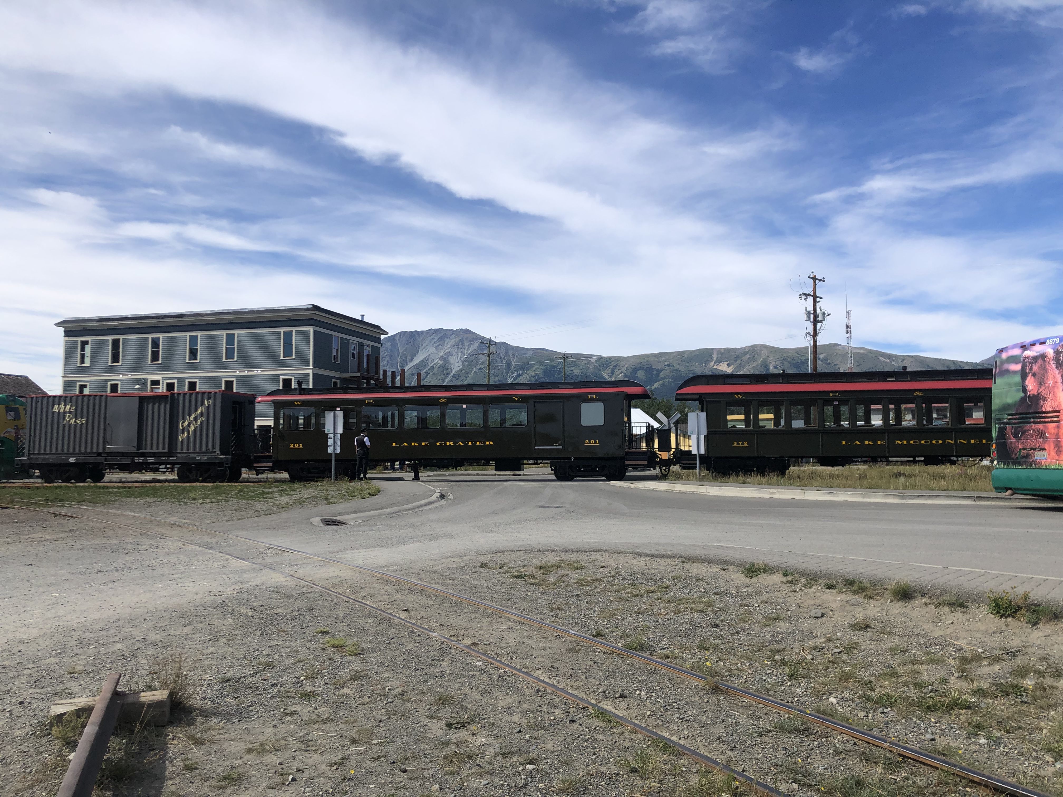
The historic engine that pulled the train from Whitehorse over the Carcross and White Pass to Skagway, USA.
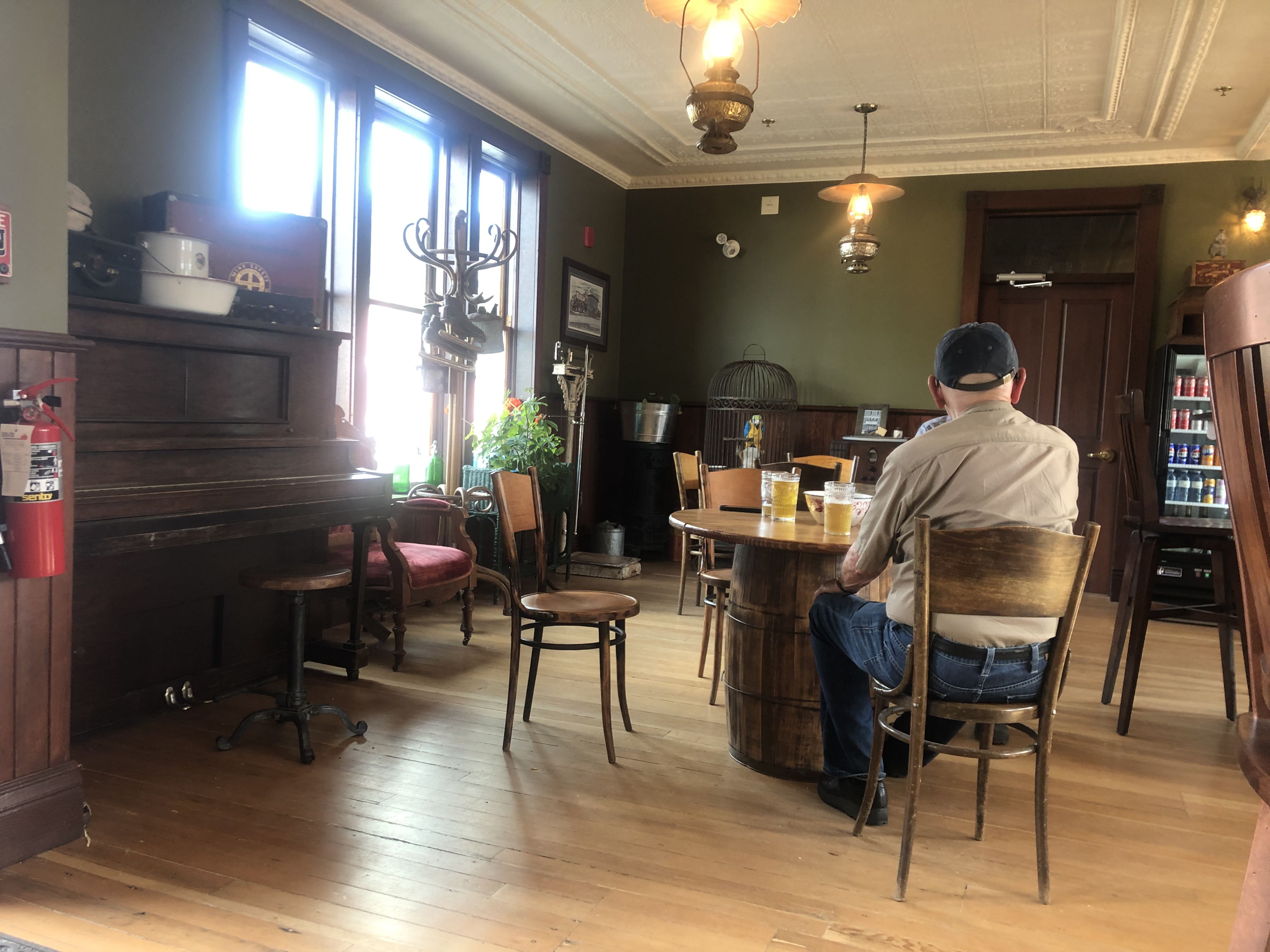
The granny who served the drinks told Susi and me that the guys have potty mouths. She’d probably like them to eat soap to clean up their language.
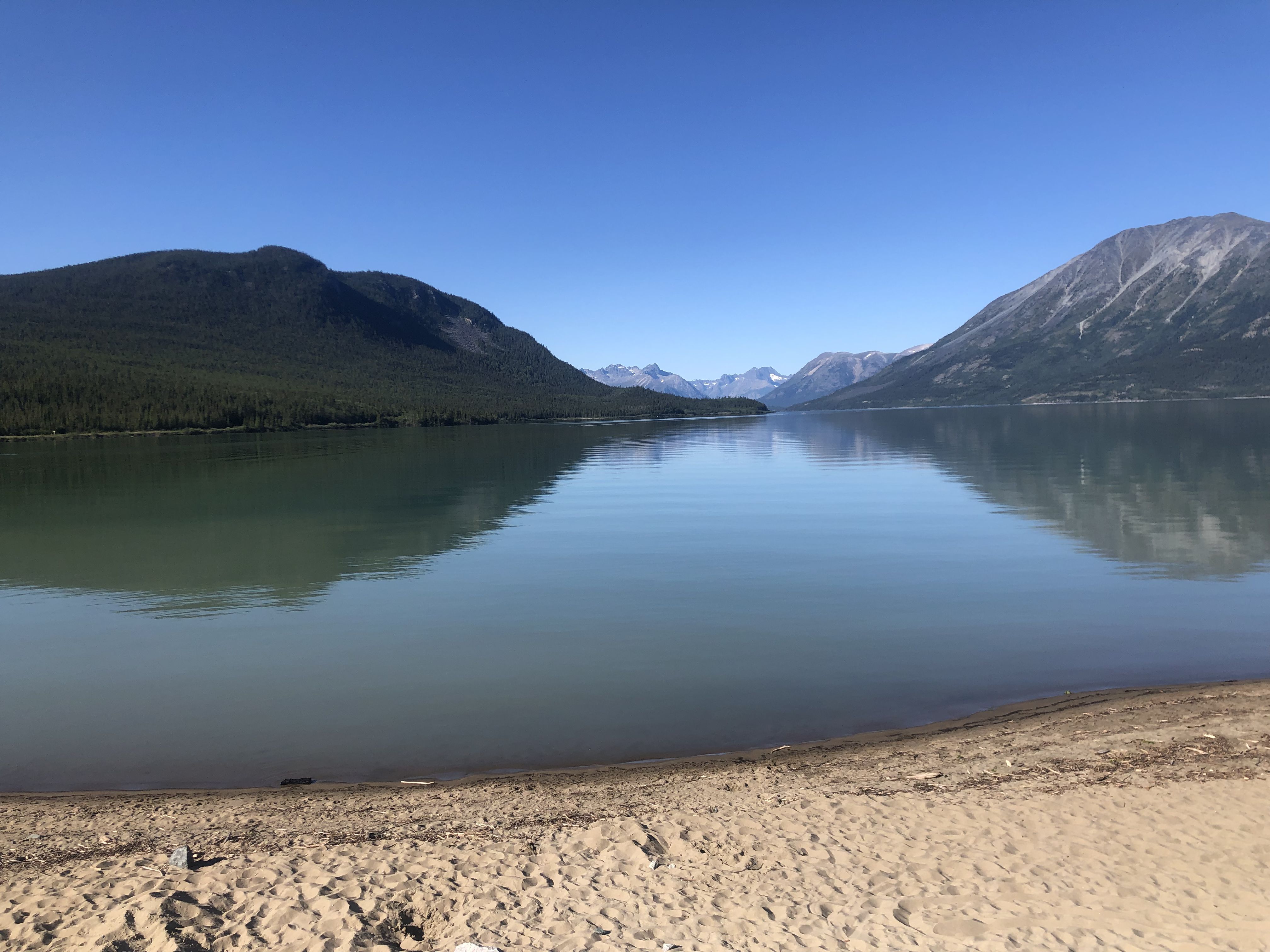
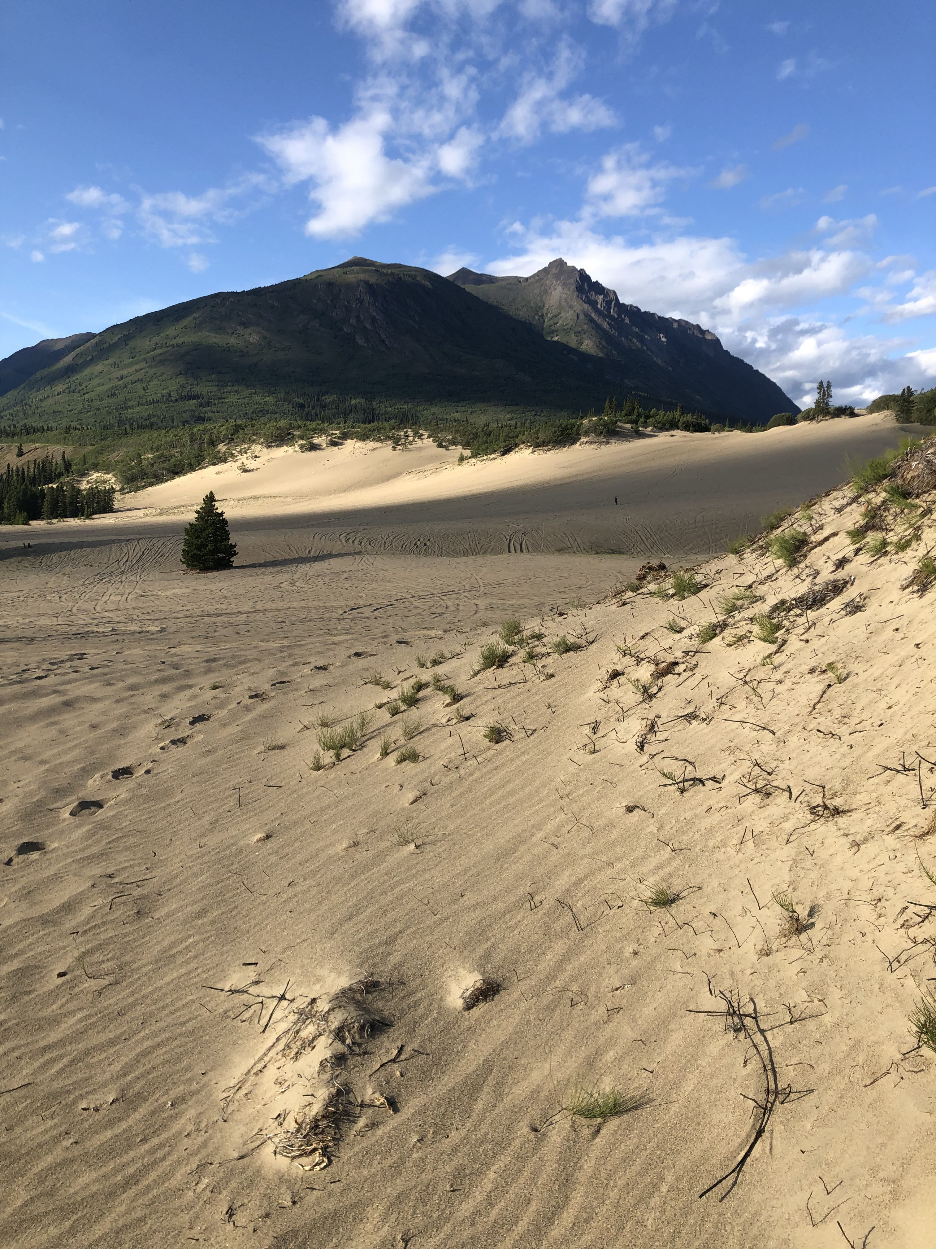
Carcross is our base station for exploring the many hiking trails in the area. After a long time without any cellphone connection, we enjoyed reconnecting with our kids—two of whom moved to Holland while we’ve been exploring the Yukon.
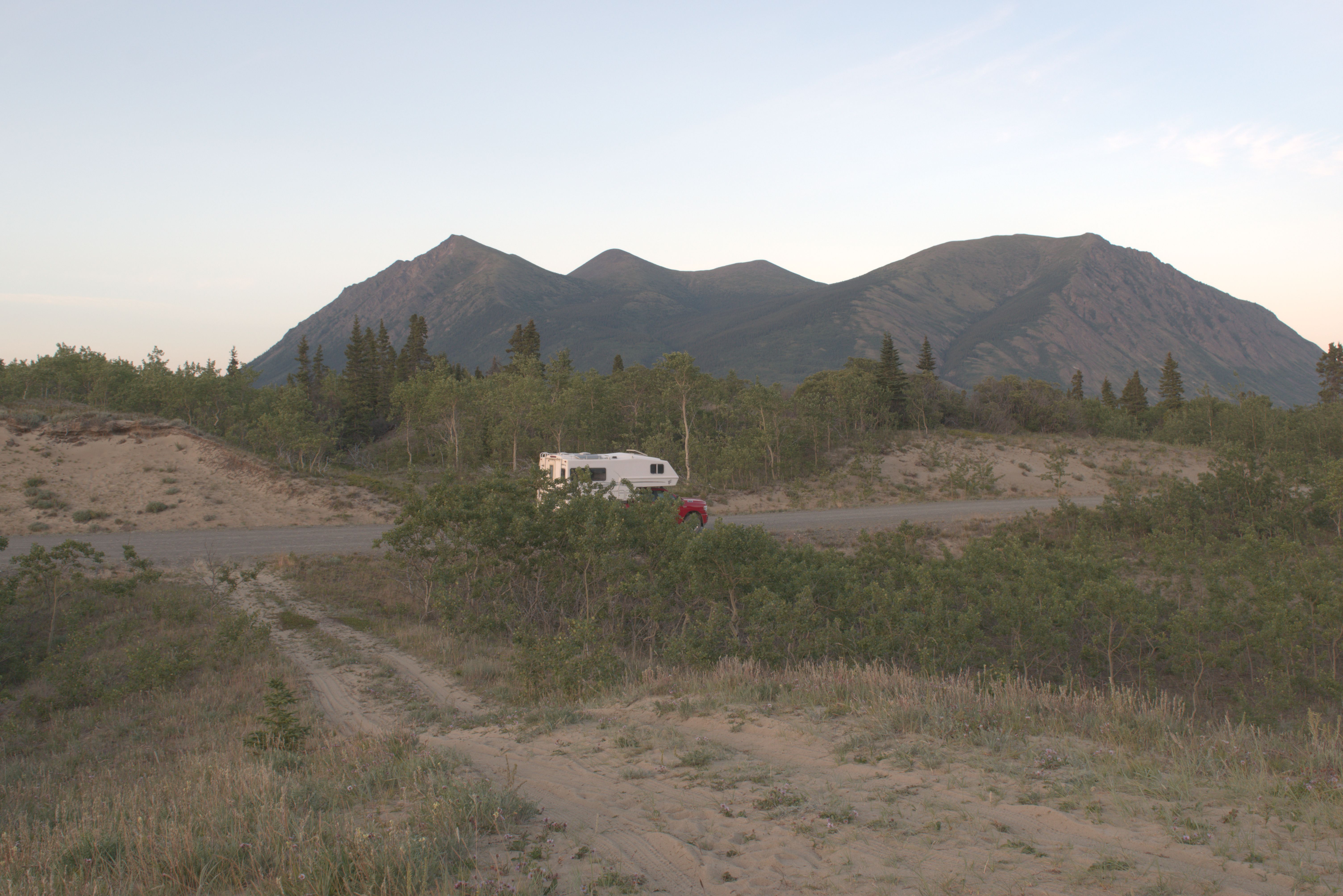
We returned to this wonderful spot where we could camp on the sandy beach and enjoy the fantastic view from the camper.
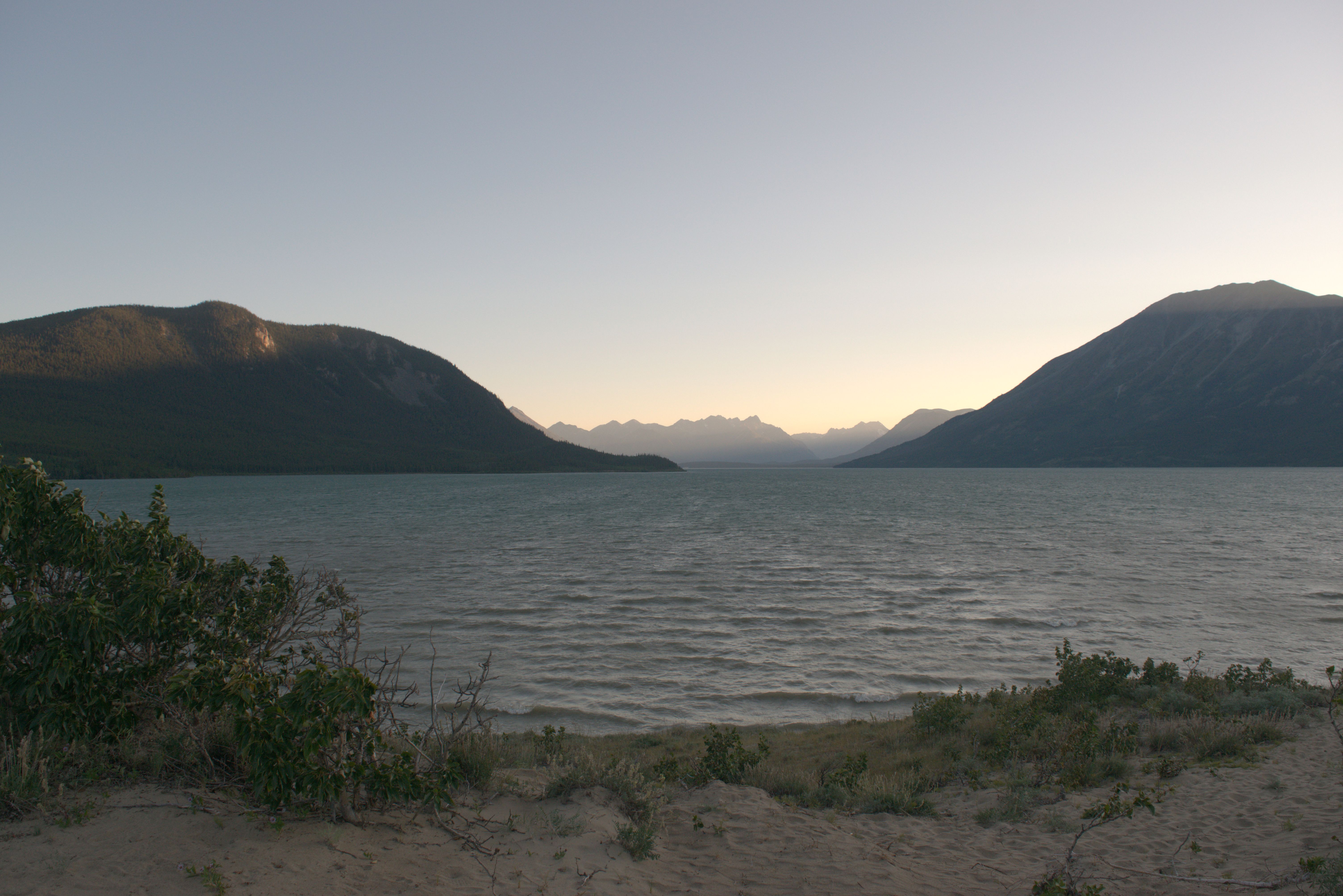
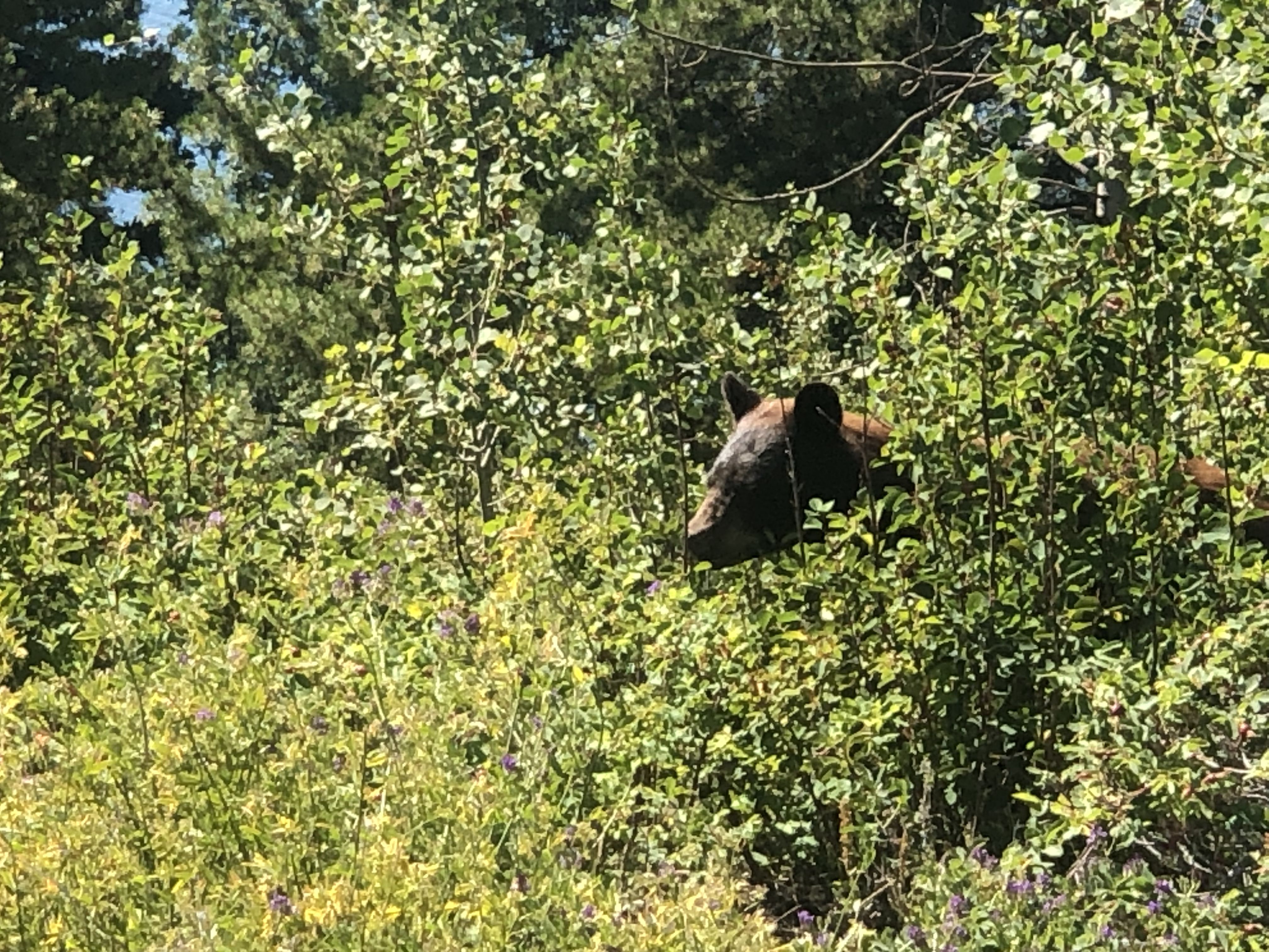
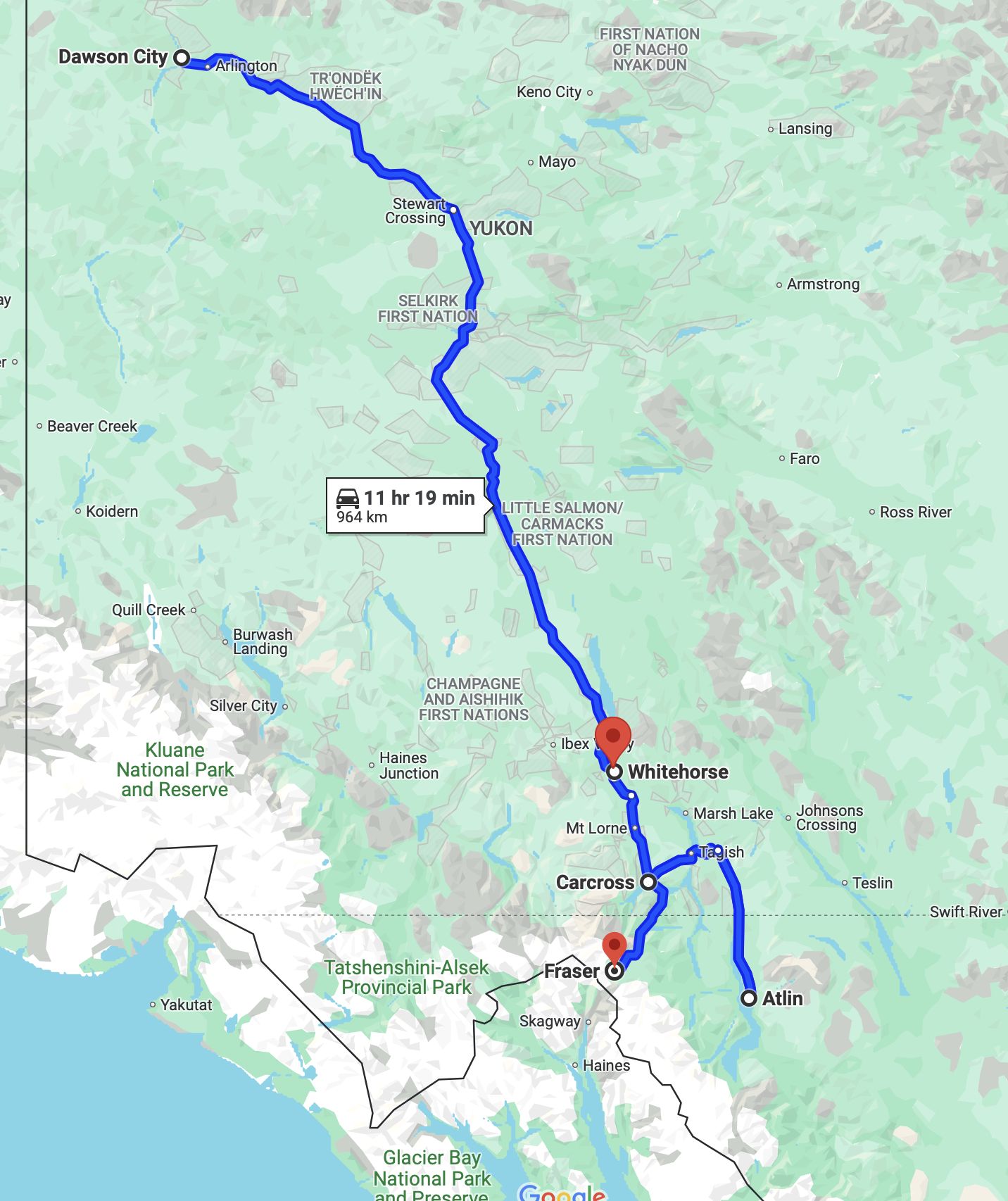
From Carcross, we went to Atlin, BC. This small community can only be reached by a dead-end road from Yukon. Some refer to it as the ‘Switzerland of the Rockies,’ as the village is located on a beautiful lake and surrounded by mountains. However, the Switzerland comparison didn’t quite resonate with us.
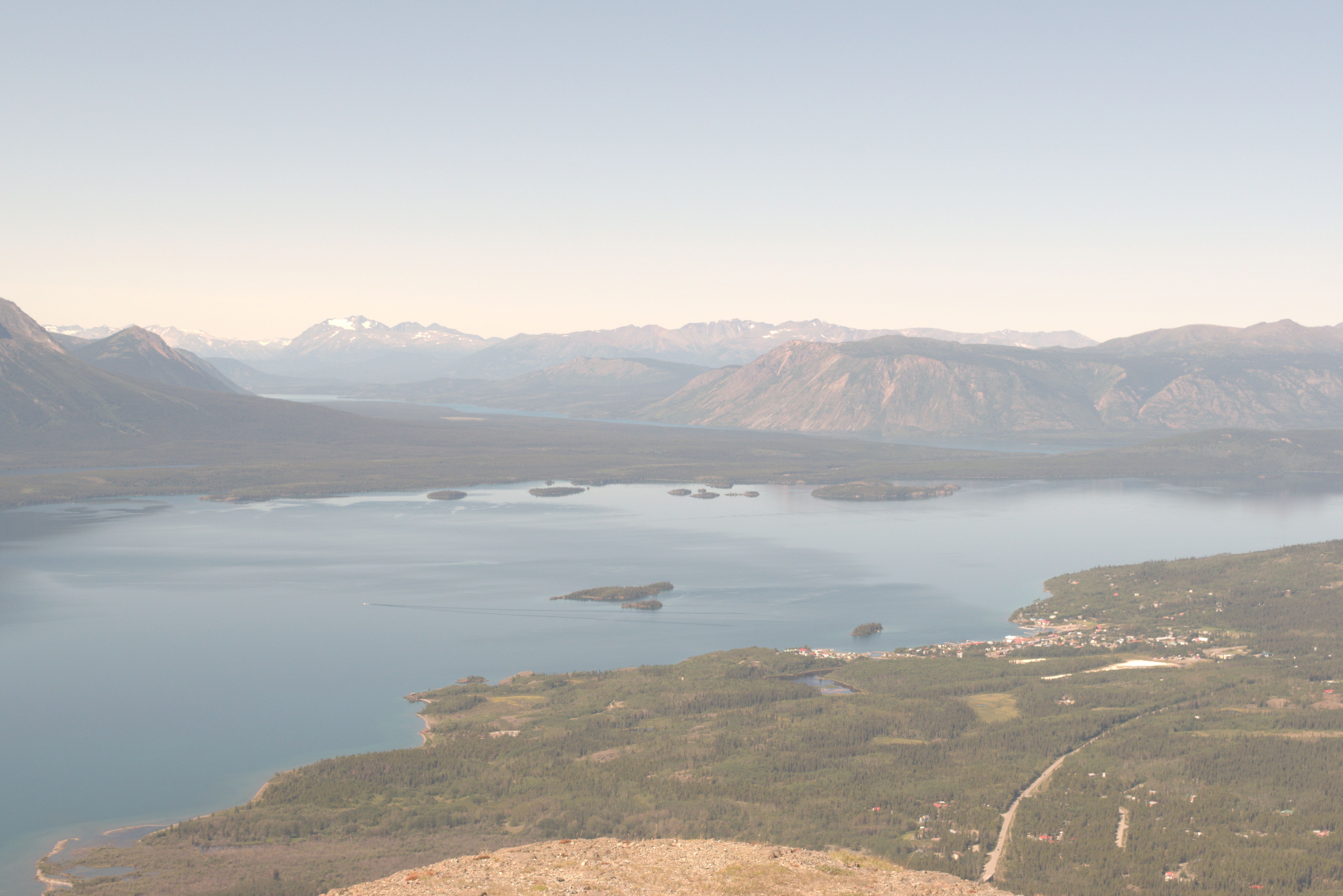
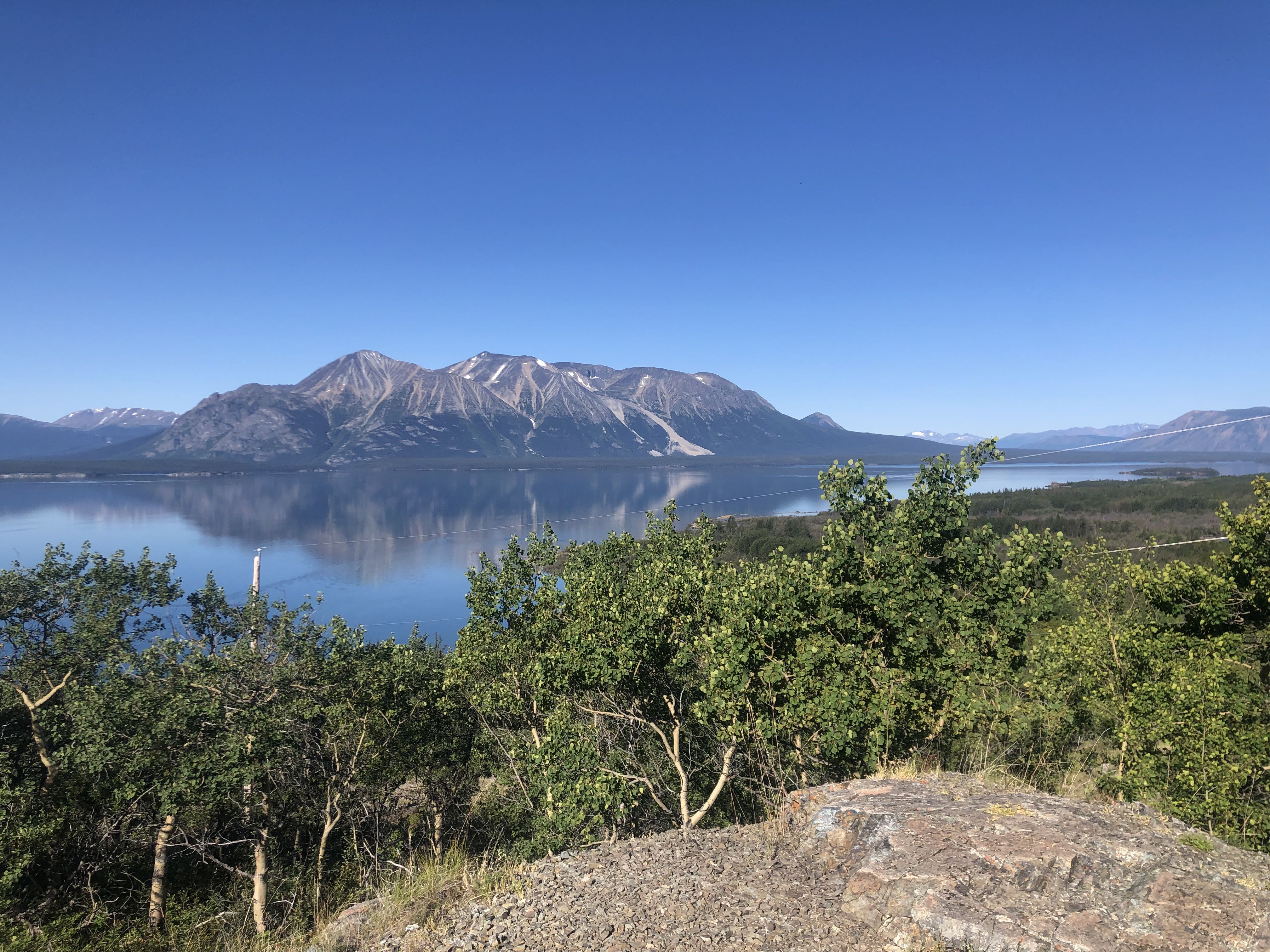
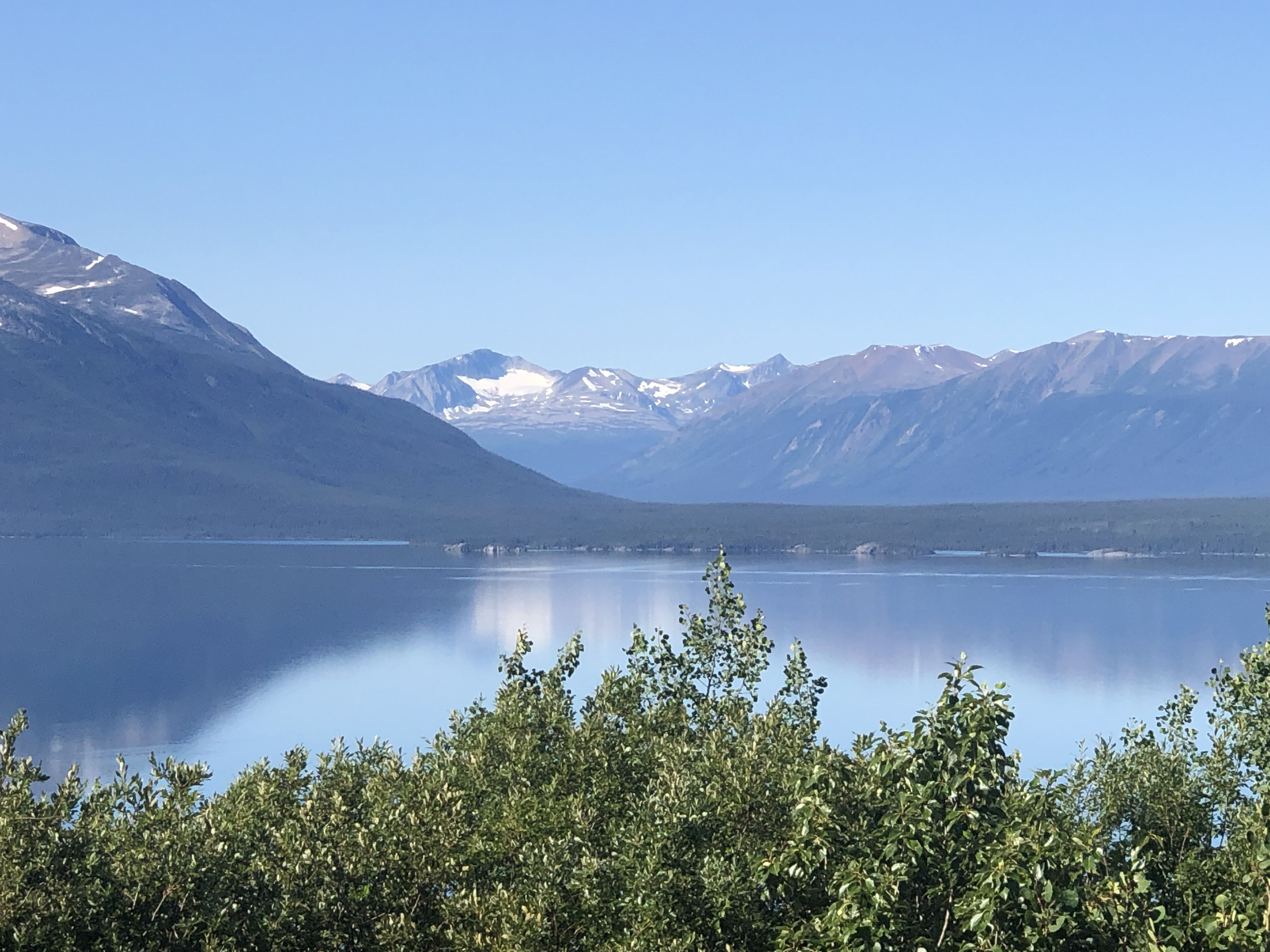
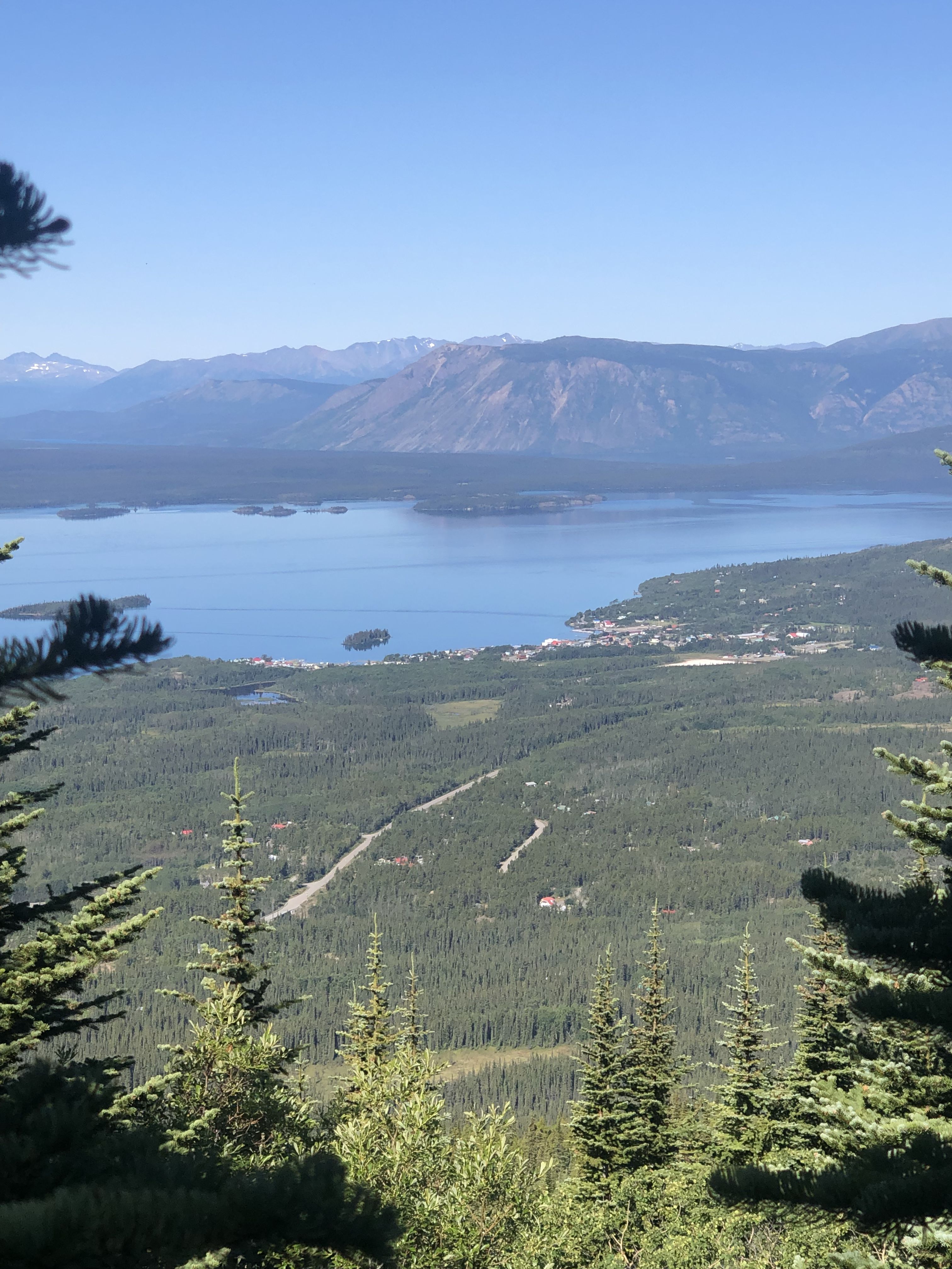
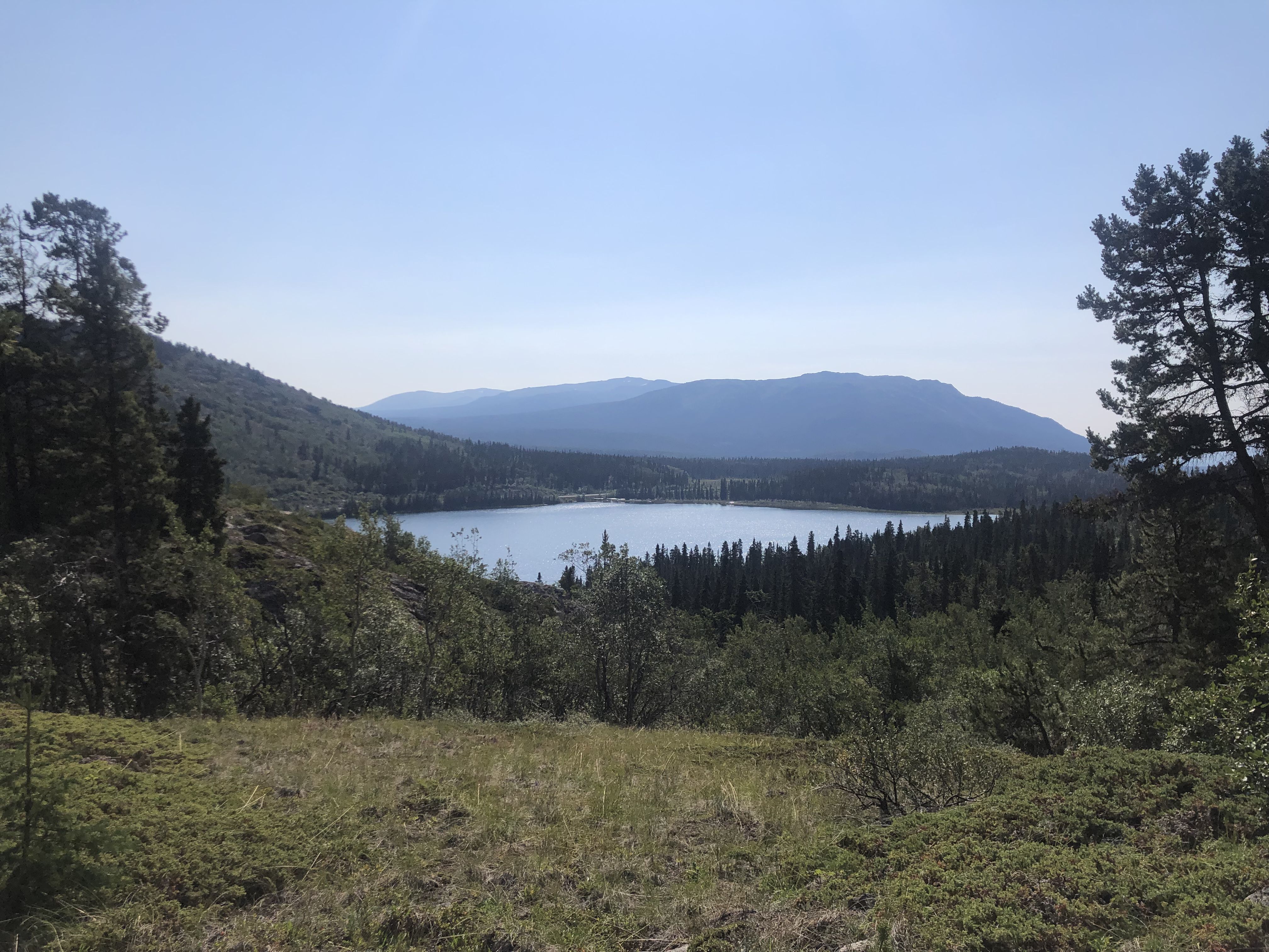
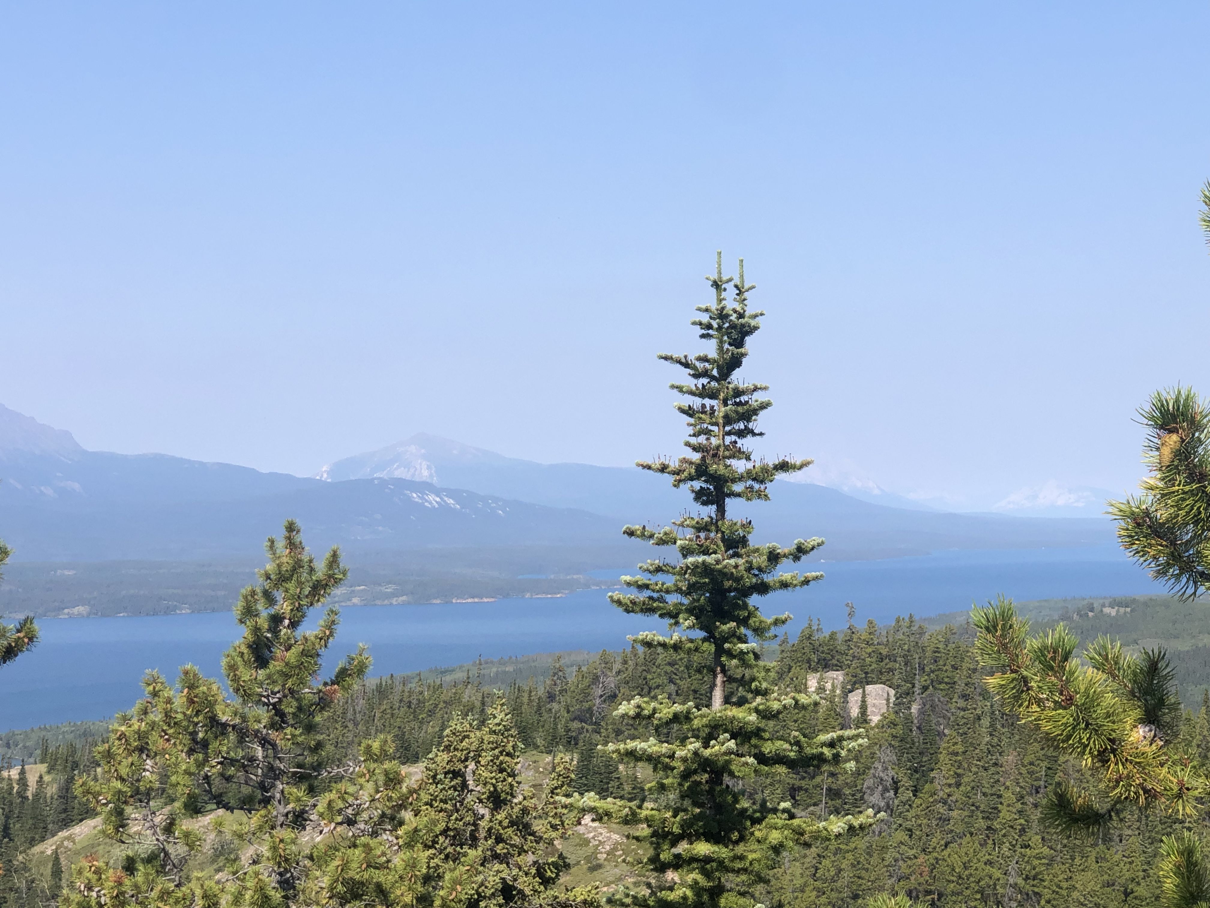
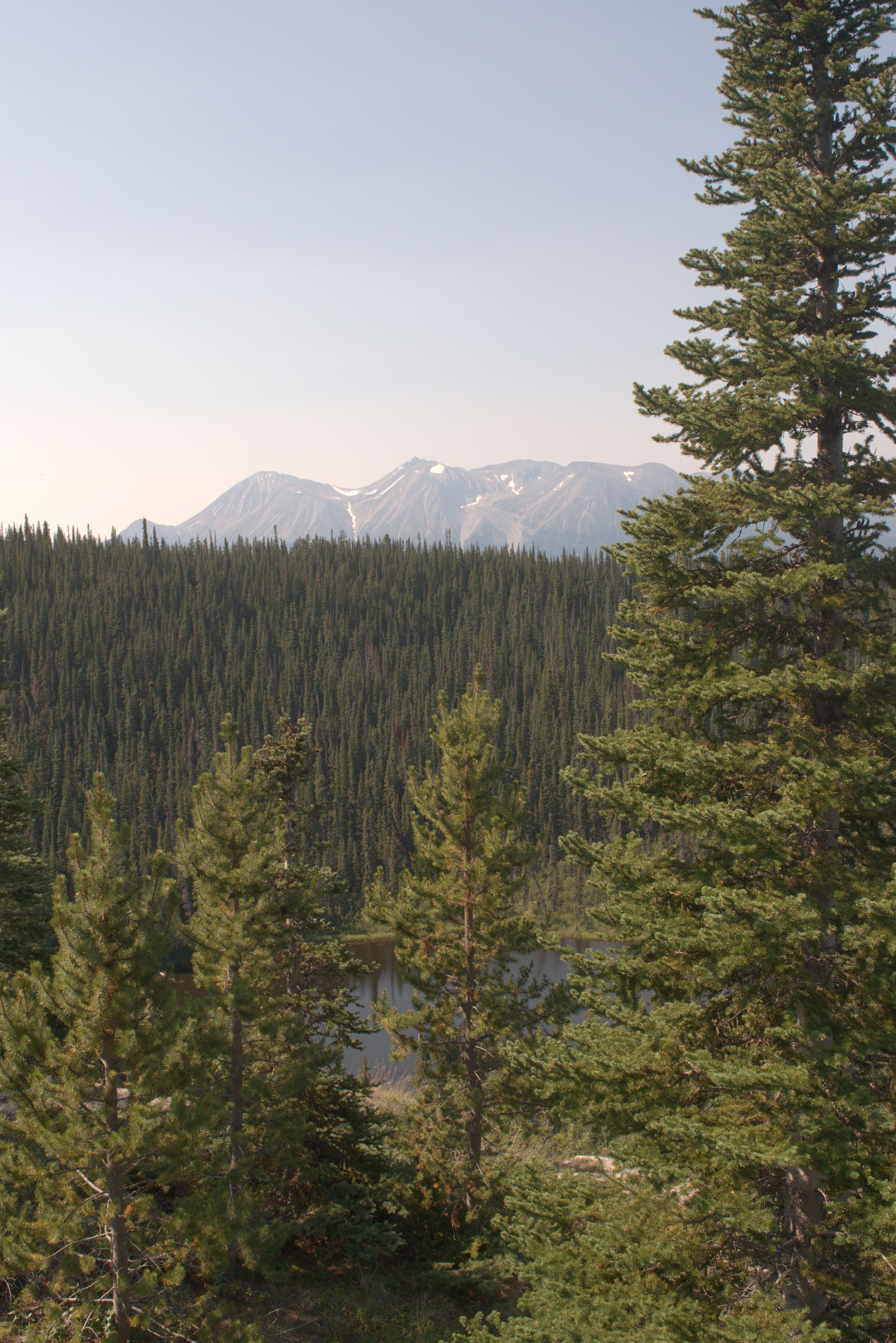
We stayed at a quiet recreation site on the shore of Lake Como for a couple of nights while exploring the area around Atlin.
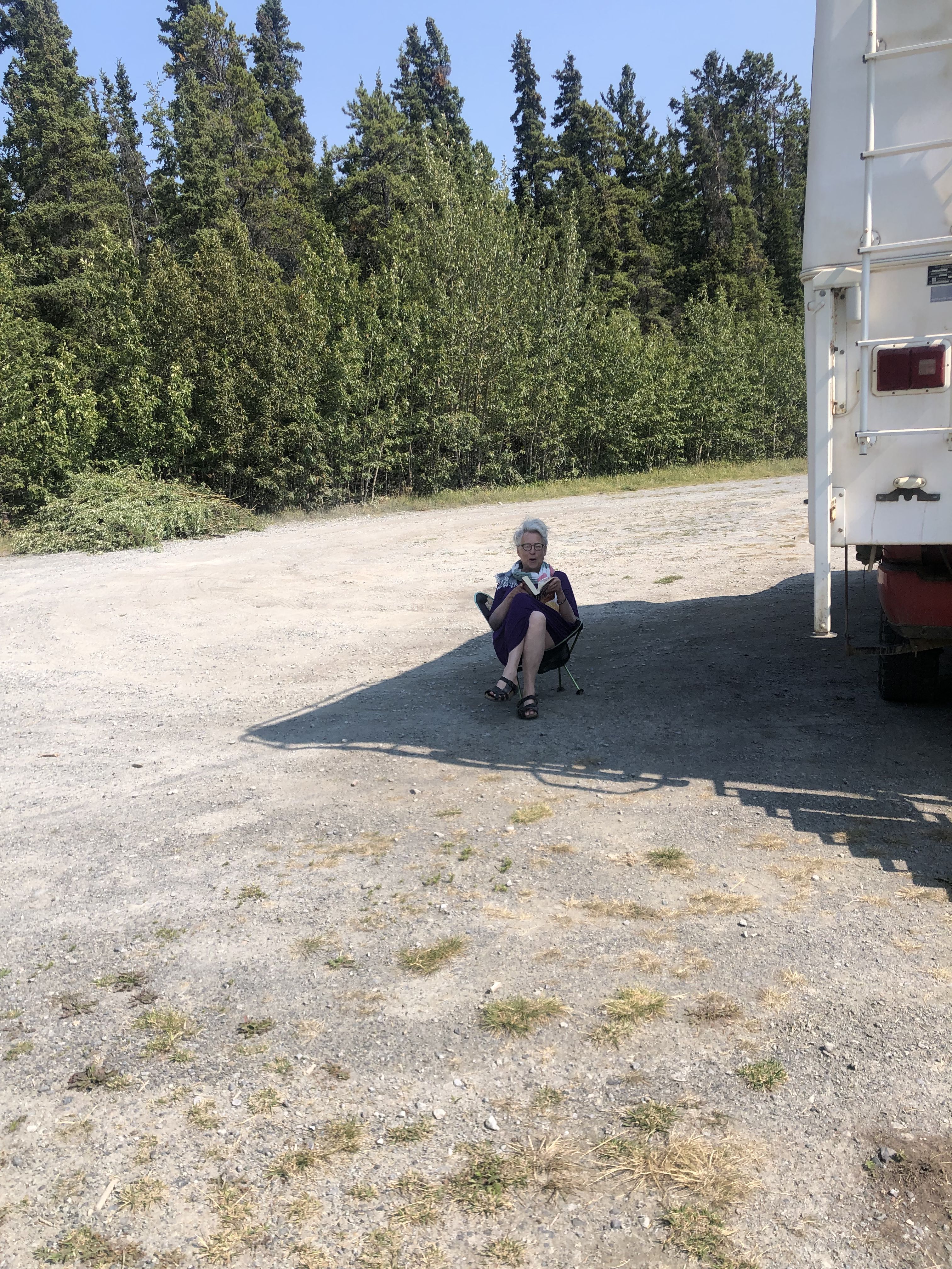
Susi is enjoying the shade with her book on one of the particularly warm days.
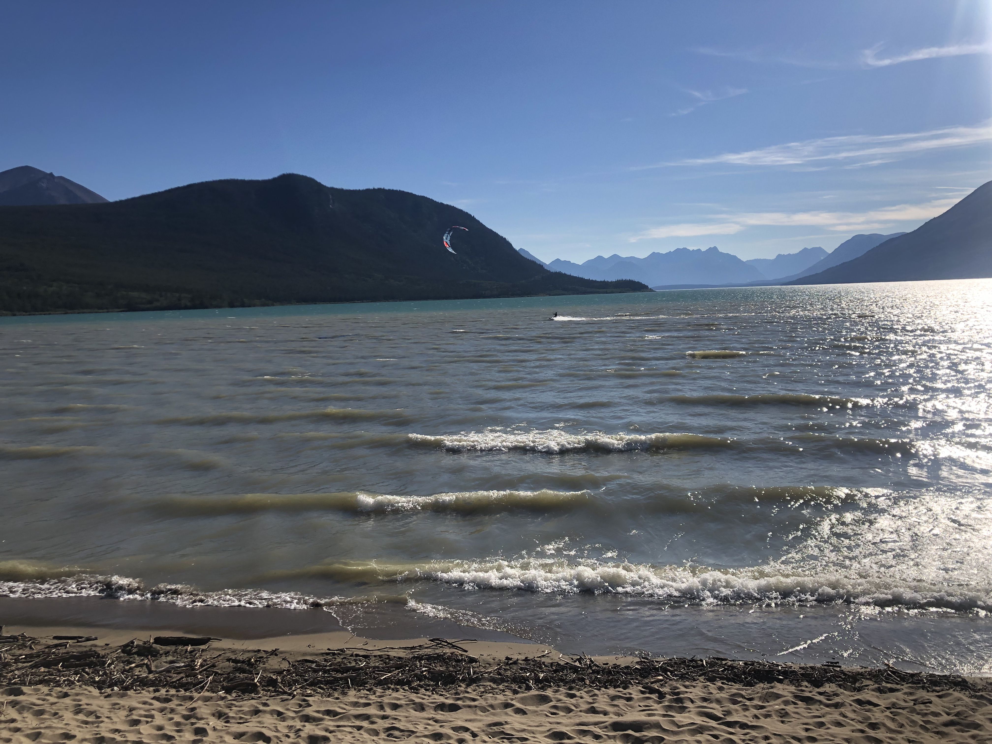
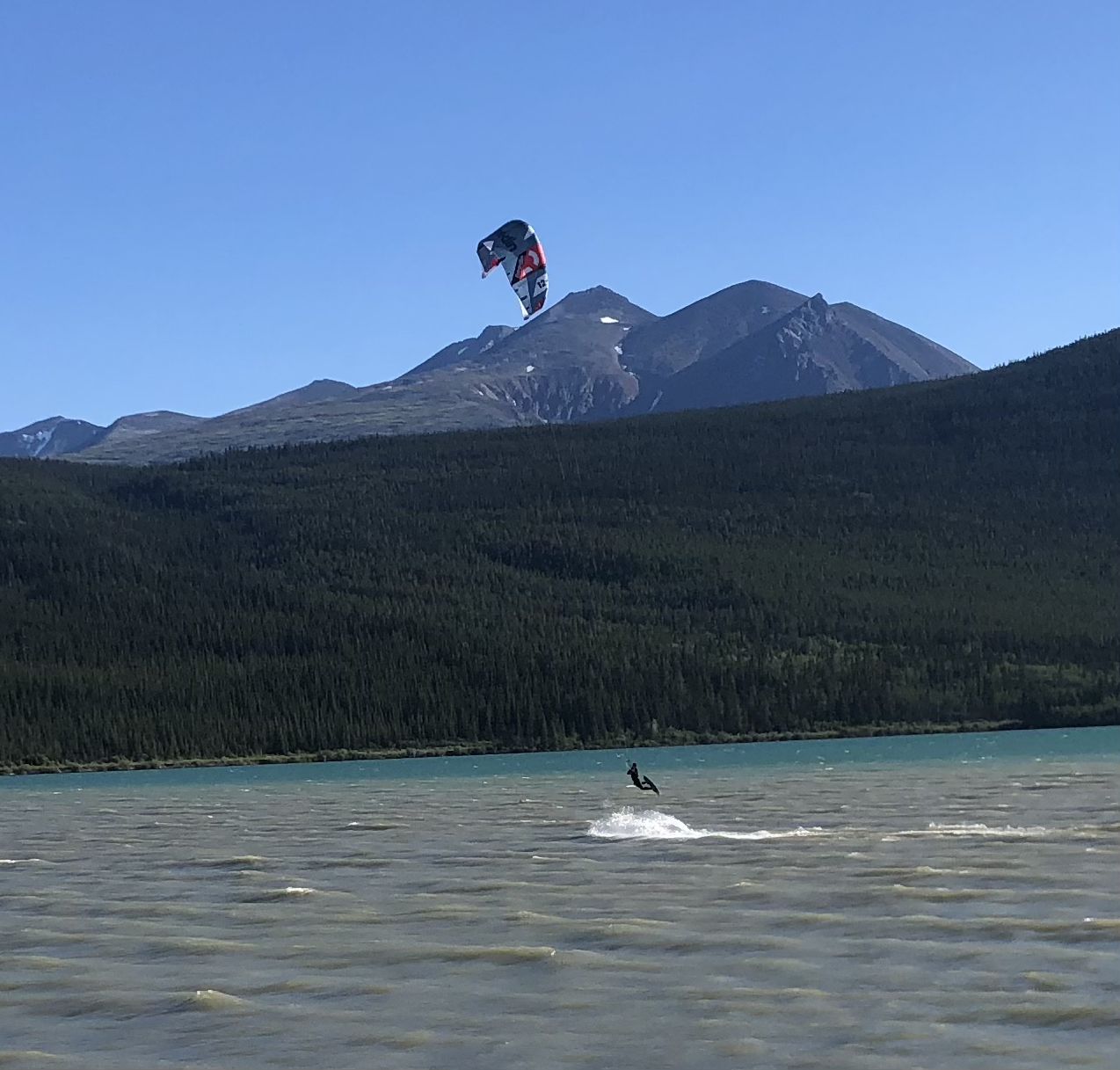
Back in Carcross, most evenings brought a very strong wind coming from the mountains over the lake.
These kiteboarders enjoyed it despite the low air temperatures. The water was warm enough for a dip, but only on sunny days!
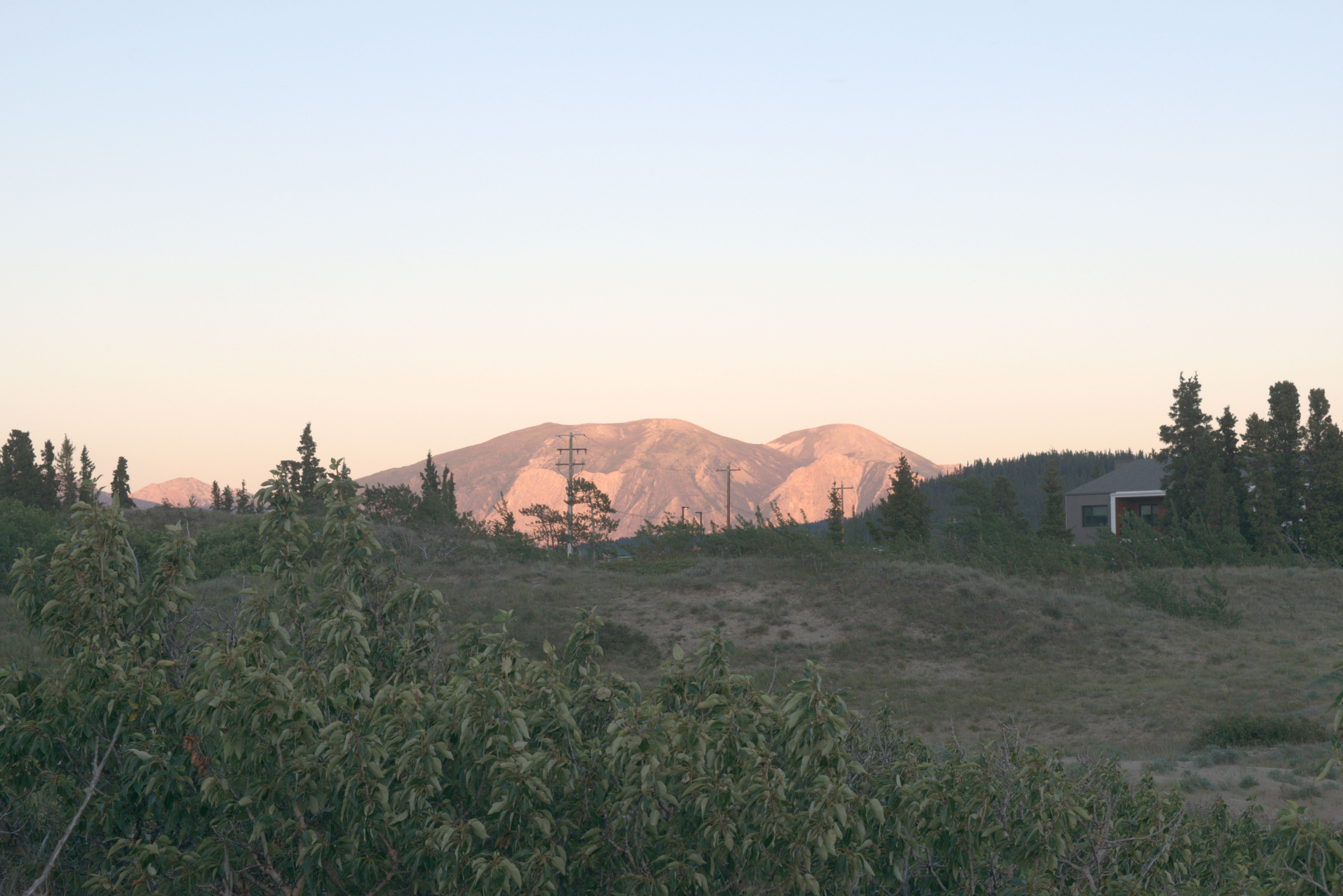
During our first stay in Carcross, we hiked up Montana Mountain from the west side, starting from Carcross. Today, we approach it from the east, 17 km down the Klondike Highway from Carcross on the SamMcGee Trail.
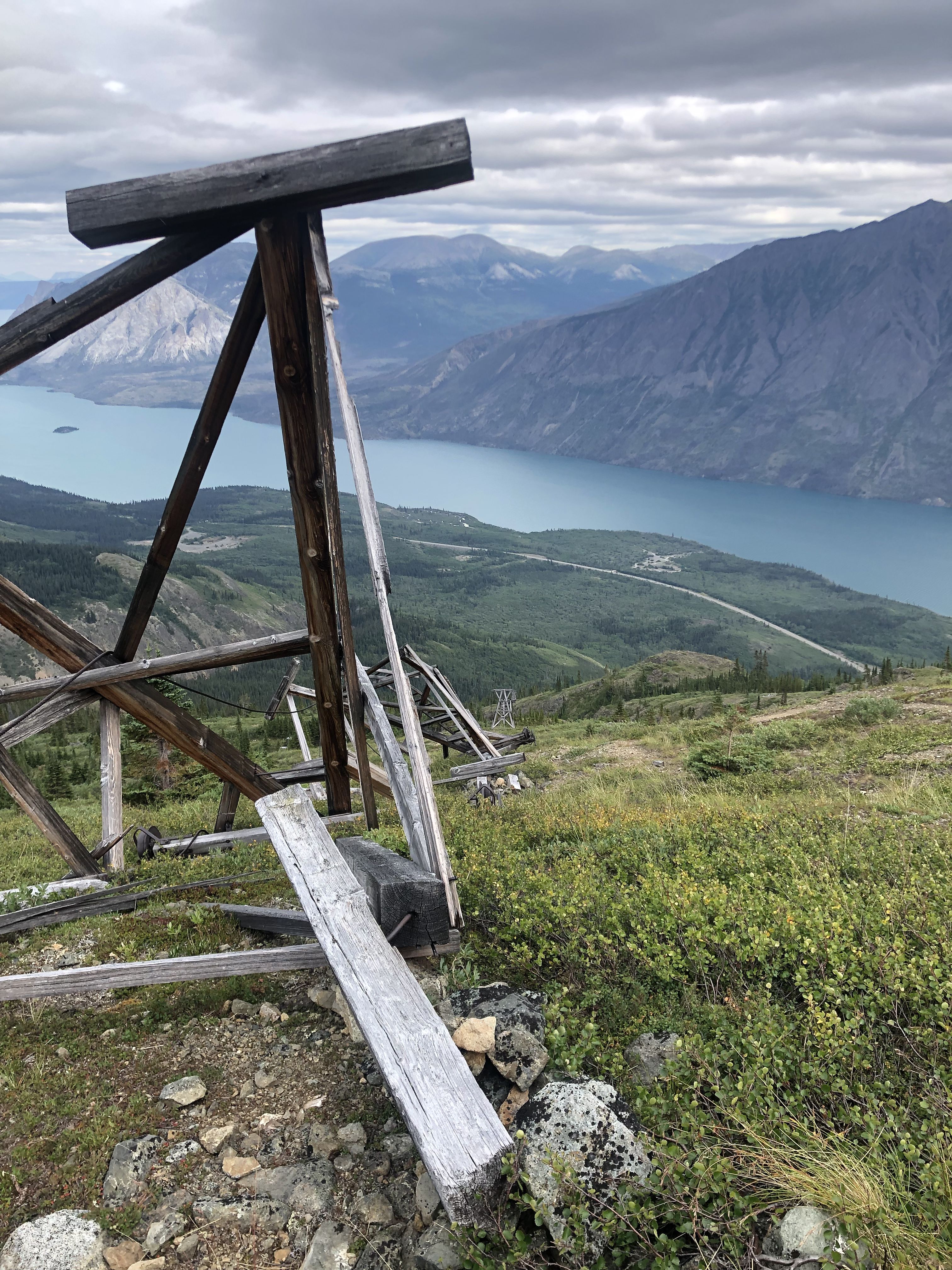
There used to be mining on Montana Mountain, which ceased about 100 years ago, but some of the remains can still be seen. On this hike, we followed the route where an ore gondola once operated. They extracted the ore near the top of the mountain and transported it down to Nares Lake using the gondola.
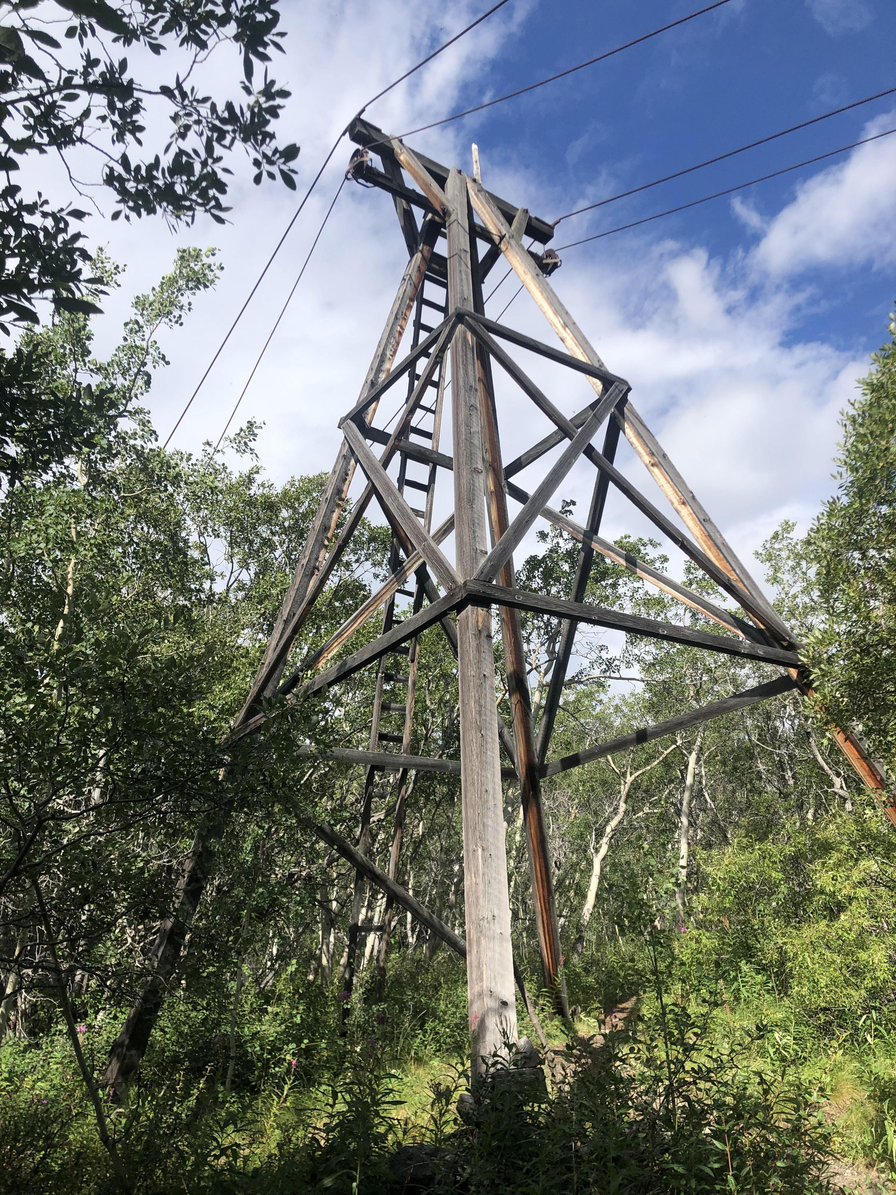
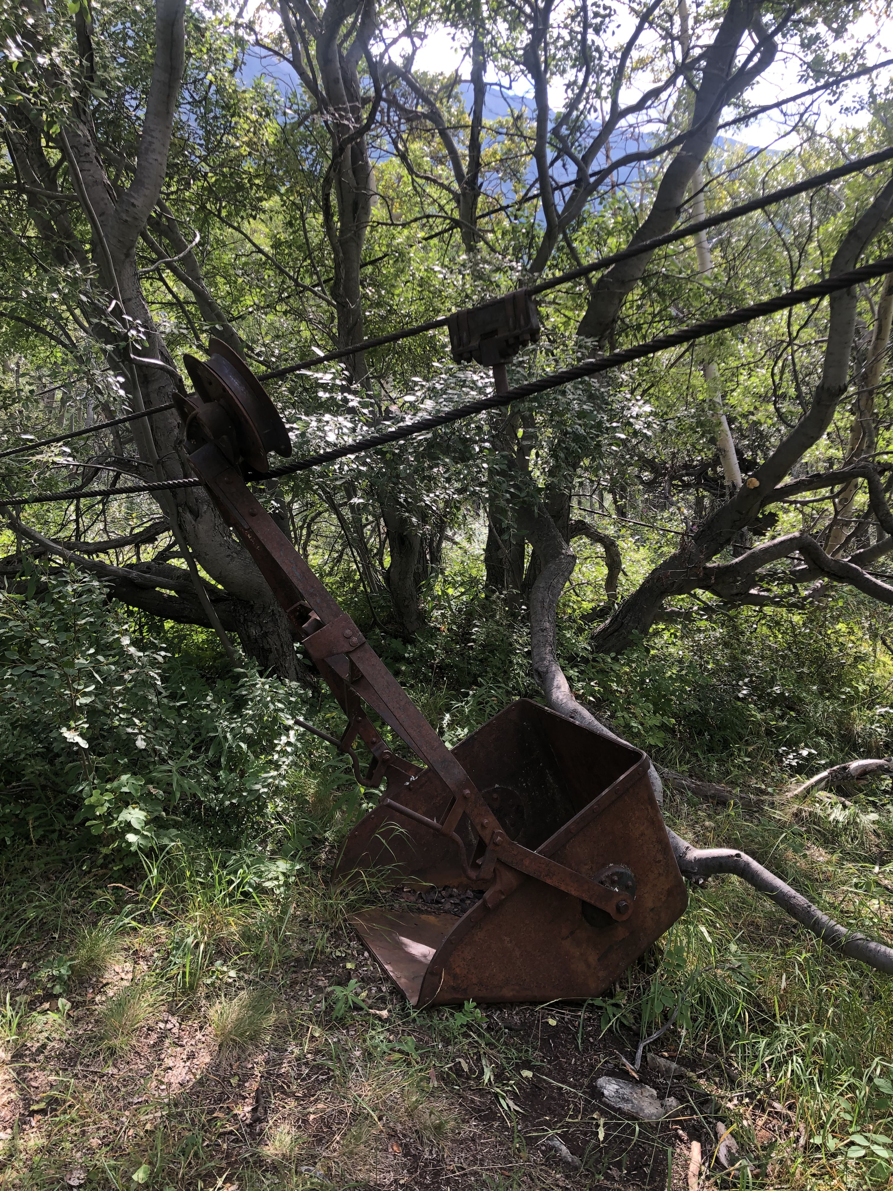
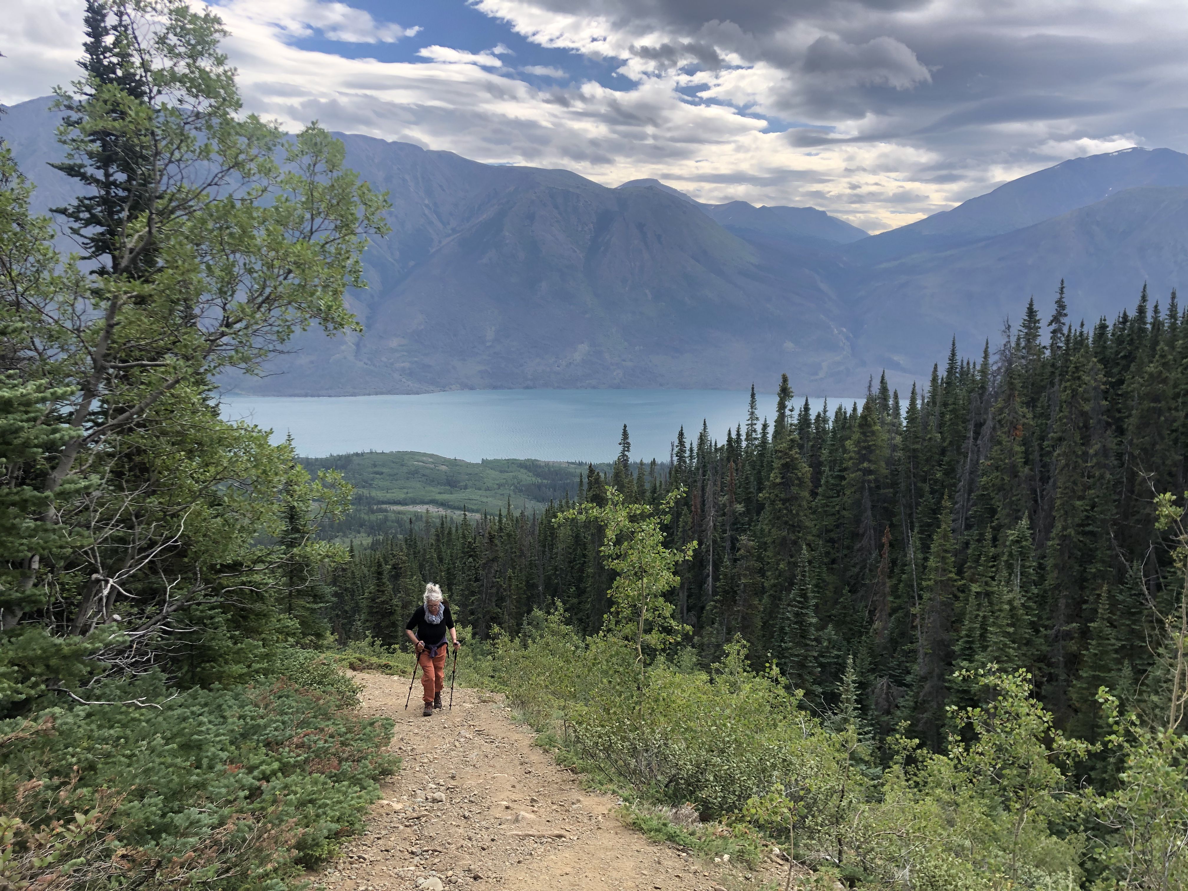
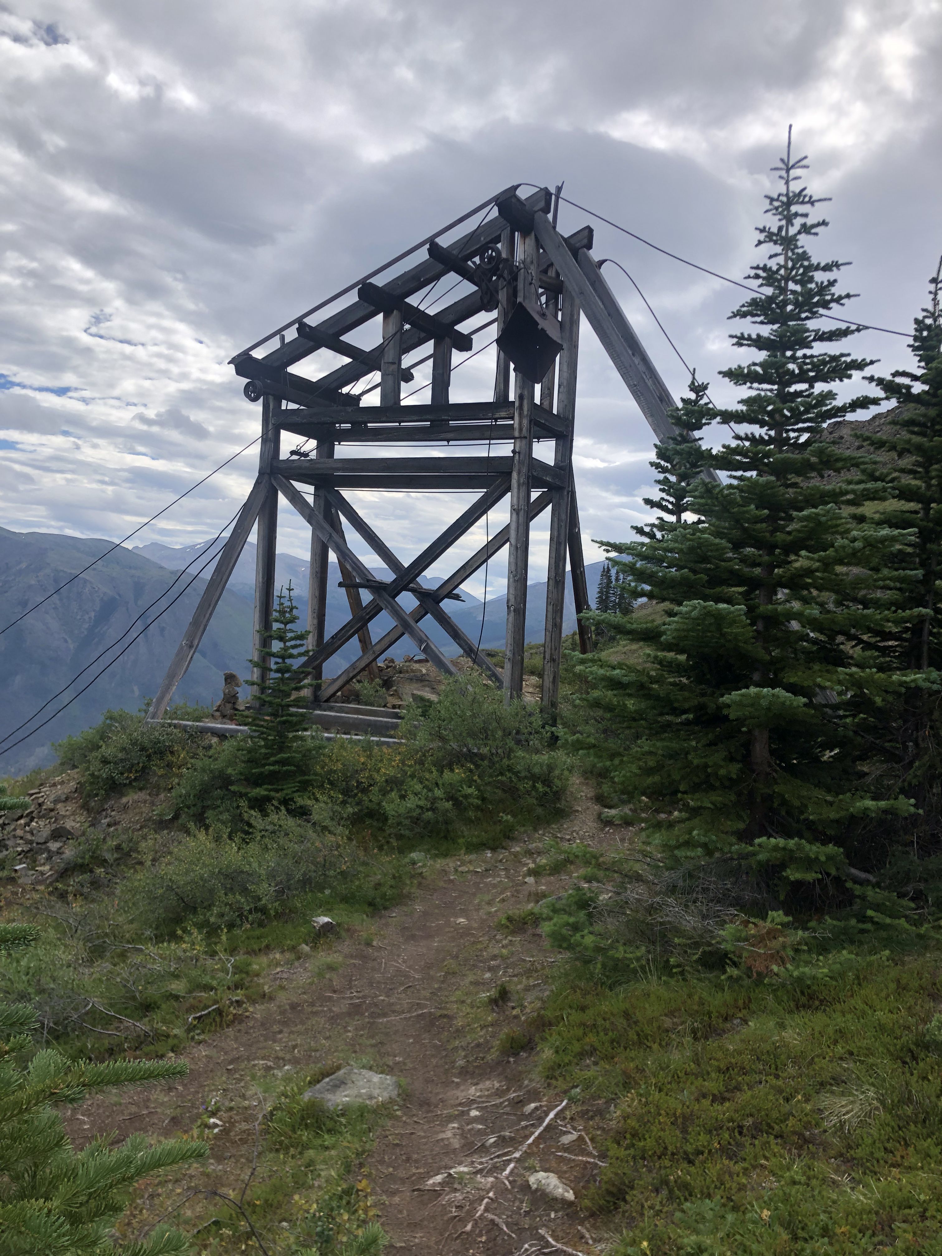
I was amazed at how well these structures have endured over time and through the harsh climate.
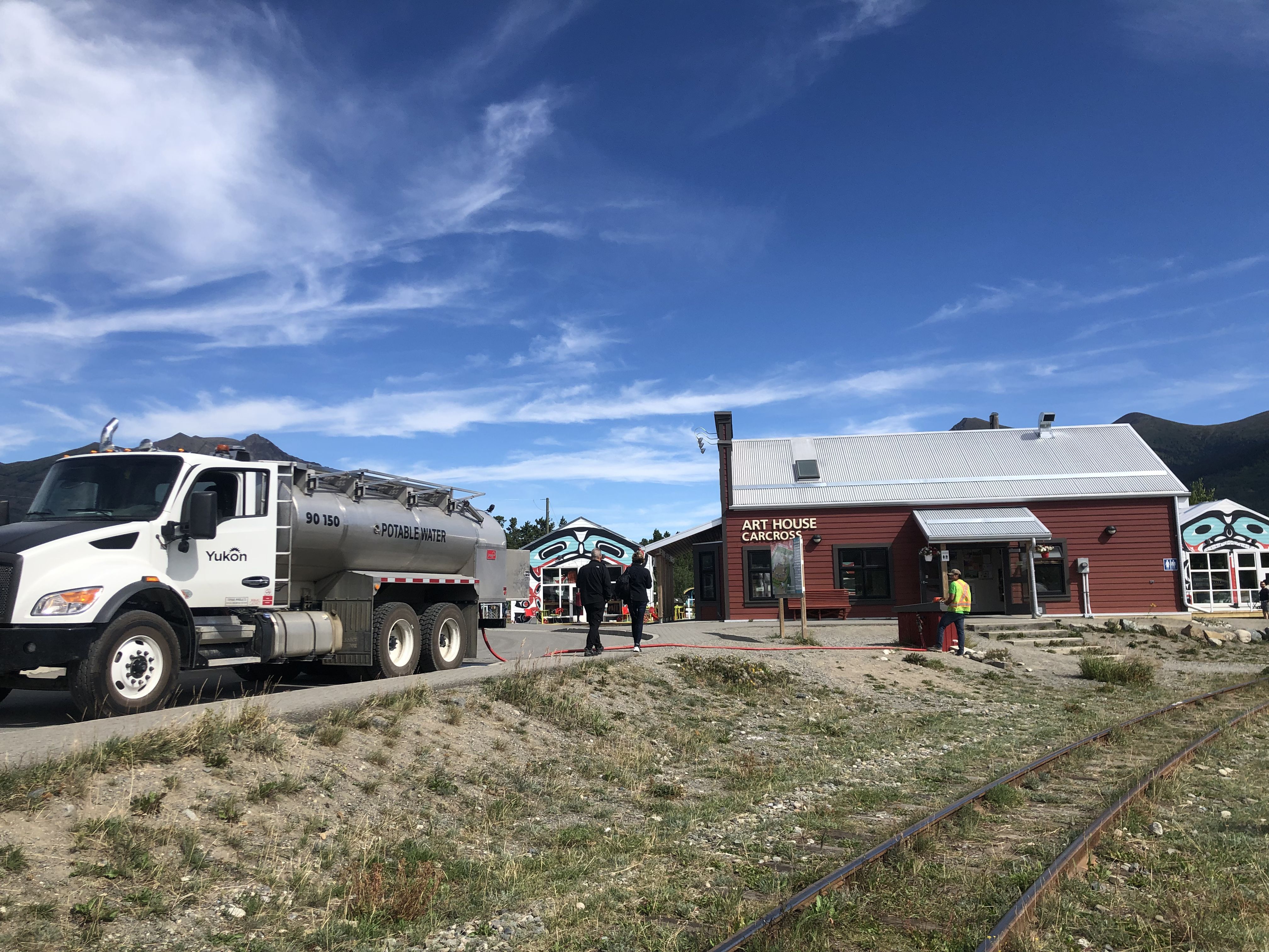
In Carcross, there are no waterlines for freshwater because the permafrost makes it difficult to build infrastructure. Freshwater is delivered to each house by water truck from the water treatment plant in the village.
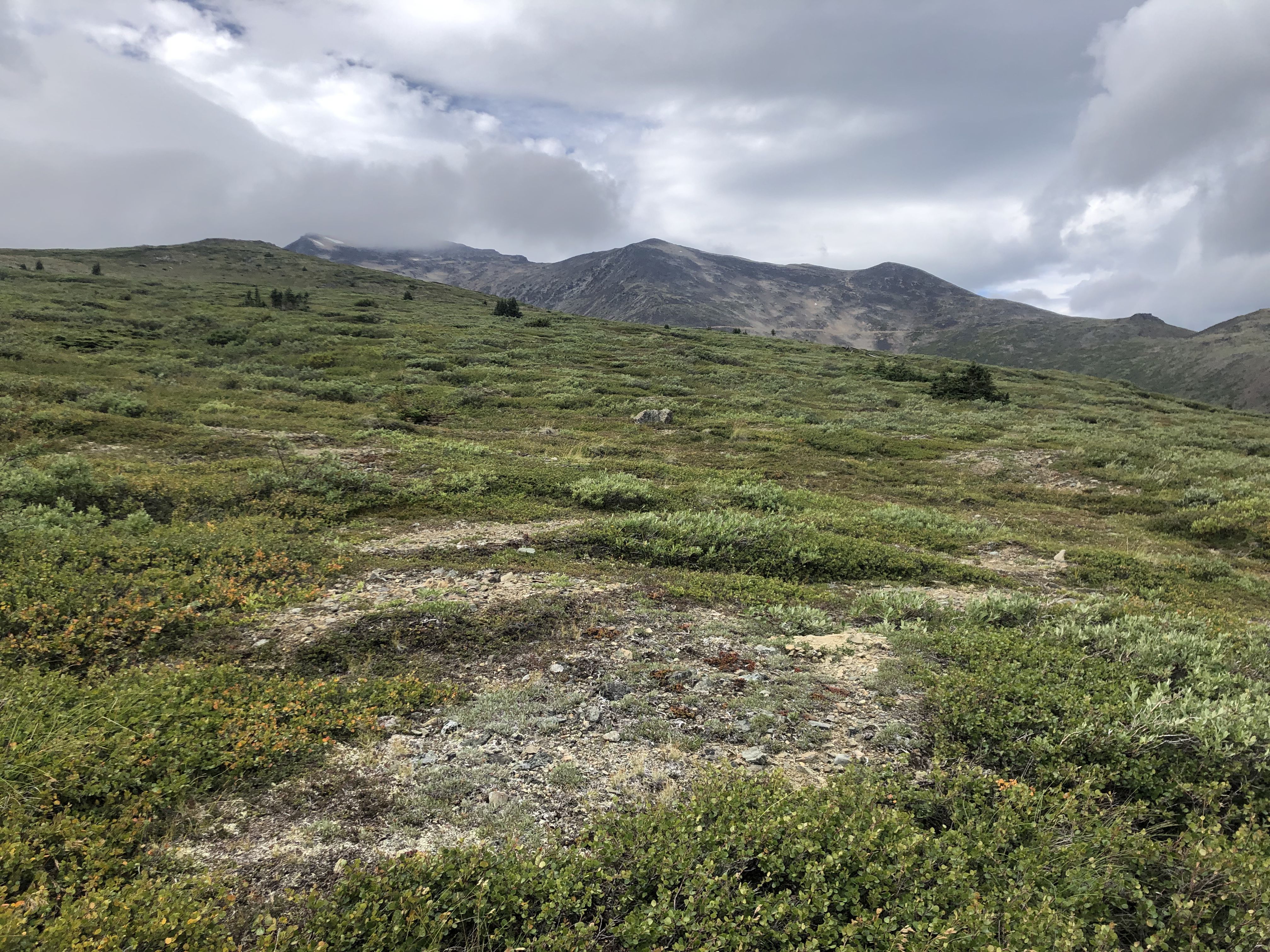
Hiking up to a lake connected by a water pipe to Fraser to supply drinking water. Part of this area is closed to hiking to protect the caribou’s summer grounds.
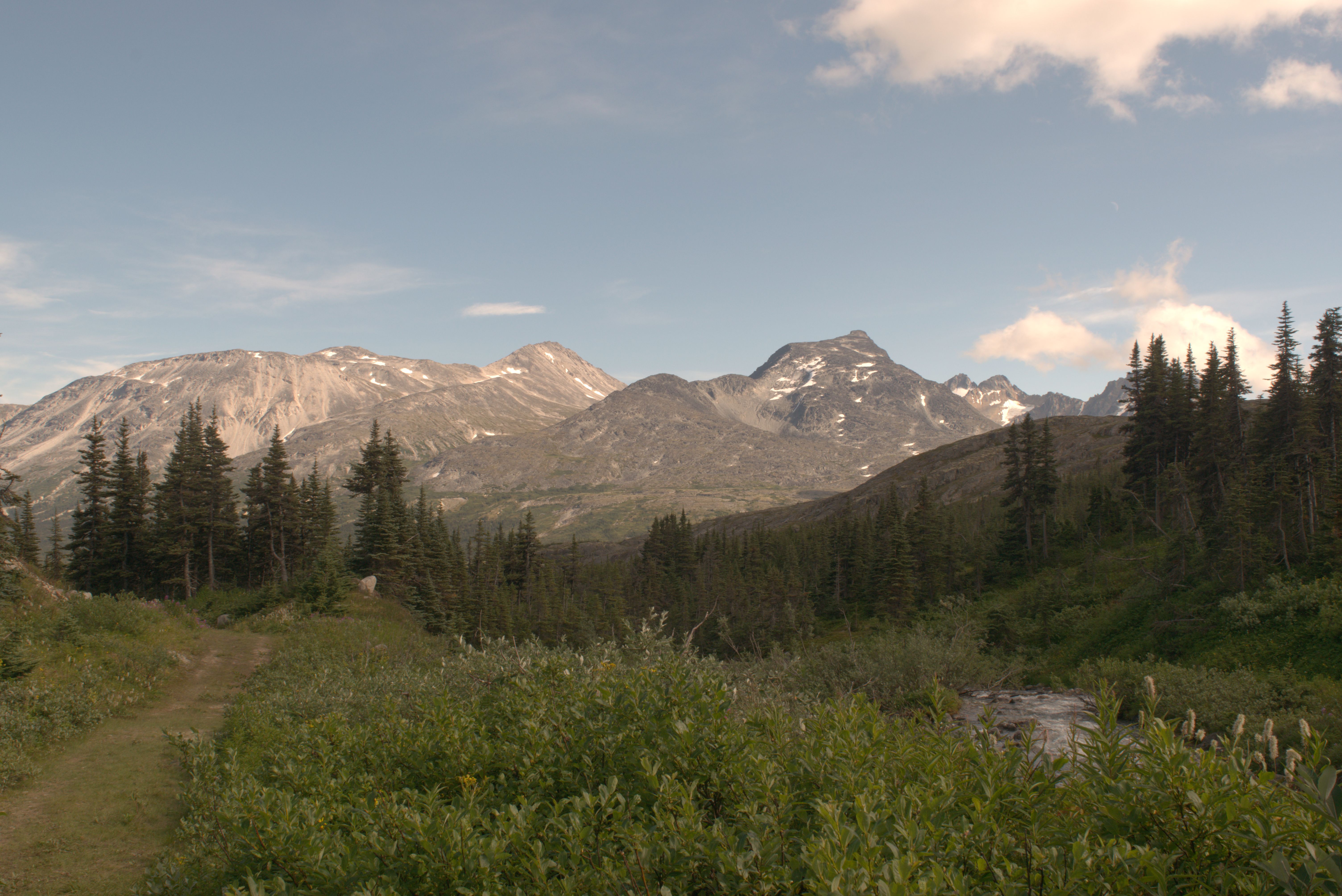
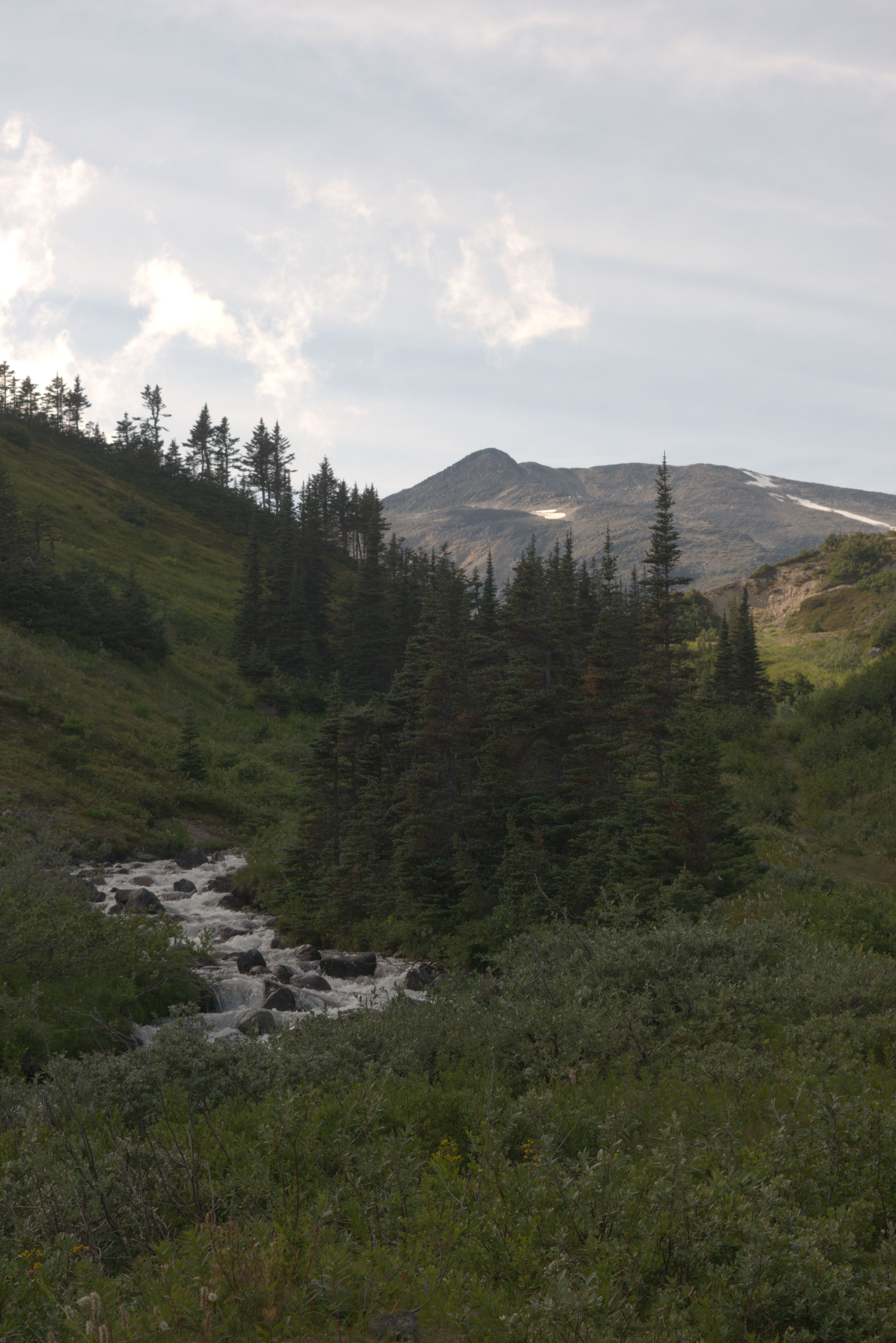
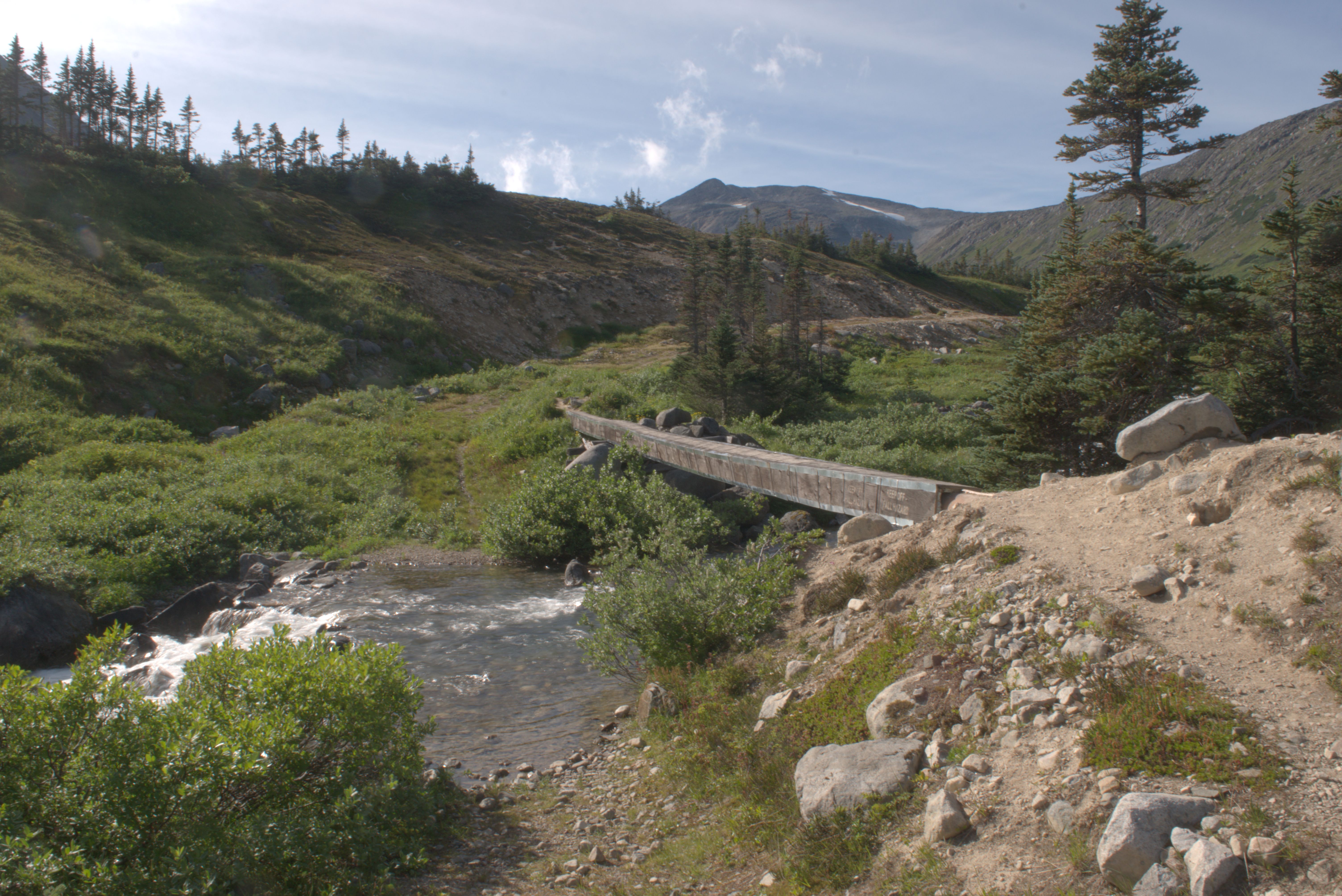
This makes a nice, though very narrow and tilted, footbridge.
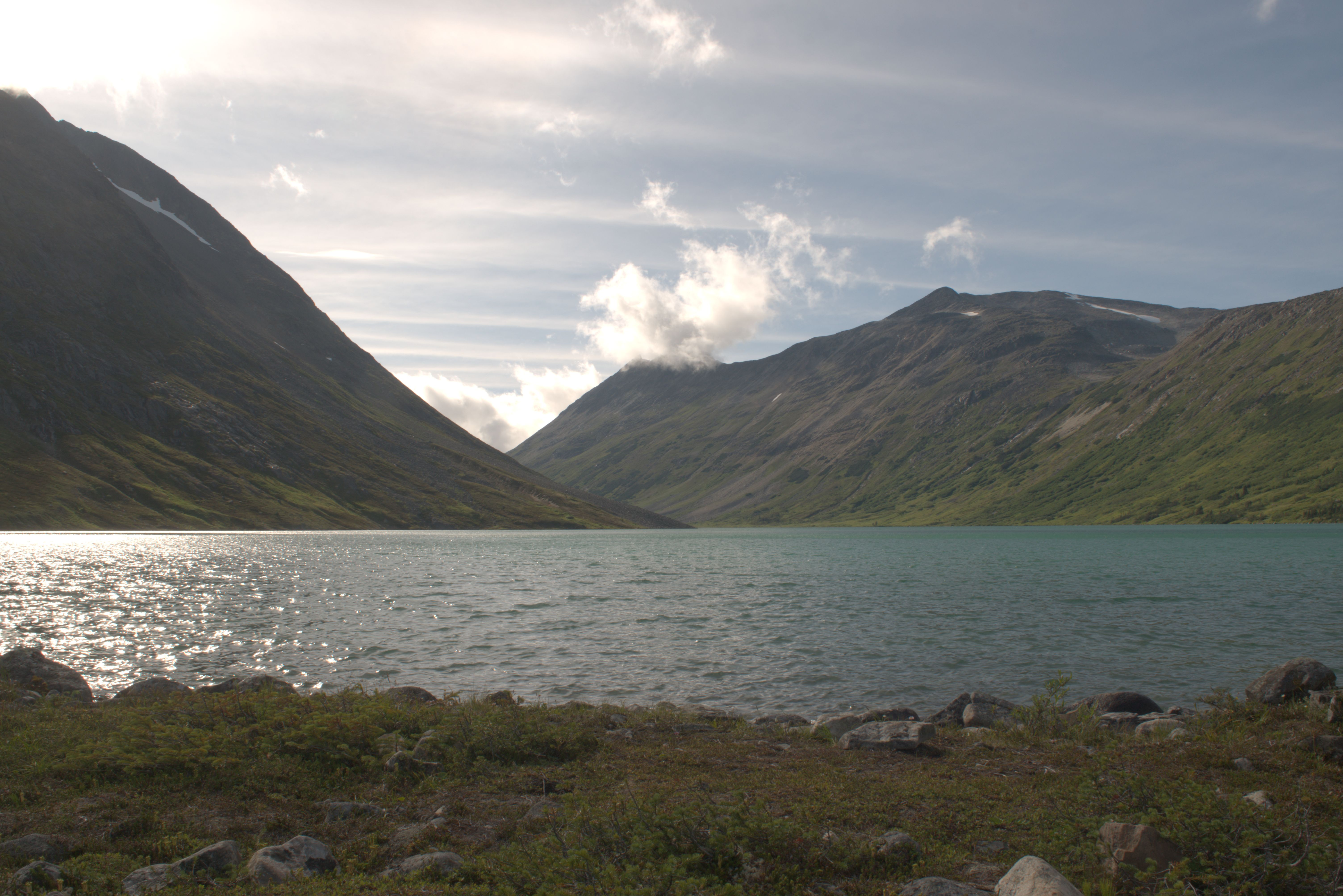
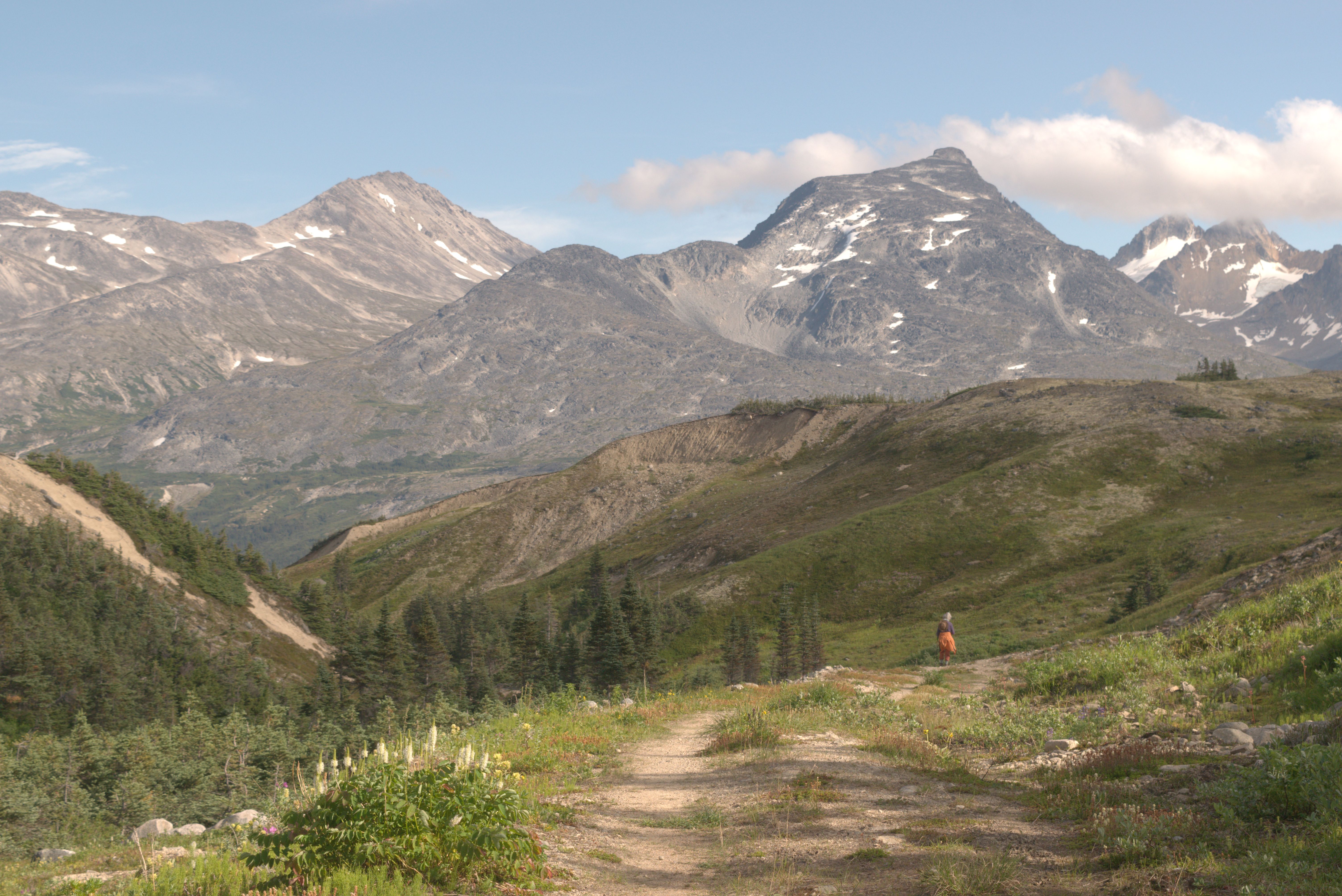
While Susi rested her overused knee, I explored the hill behind our campsite. An overgrown trail and a scrambling route above the tree line made this more time-consuming than I had anticipated. When I returned, Susi was ready to start searching.
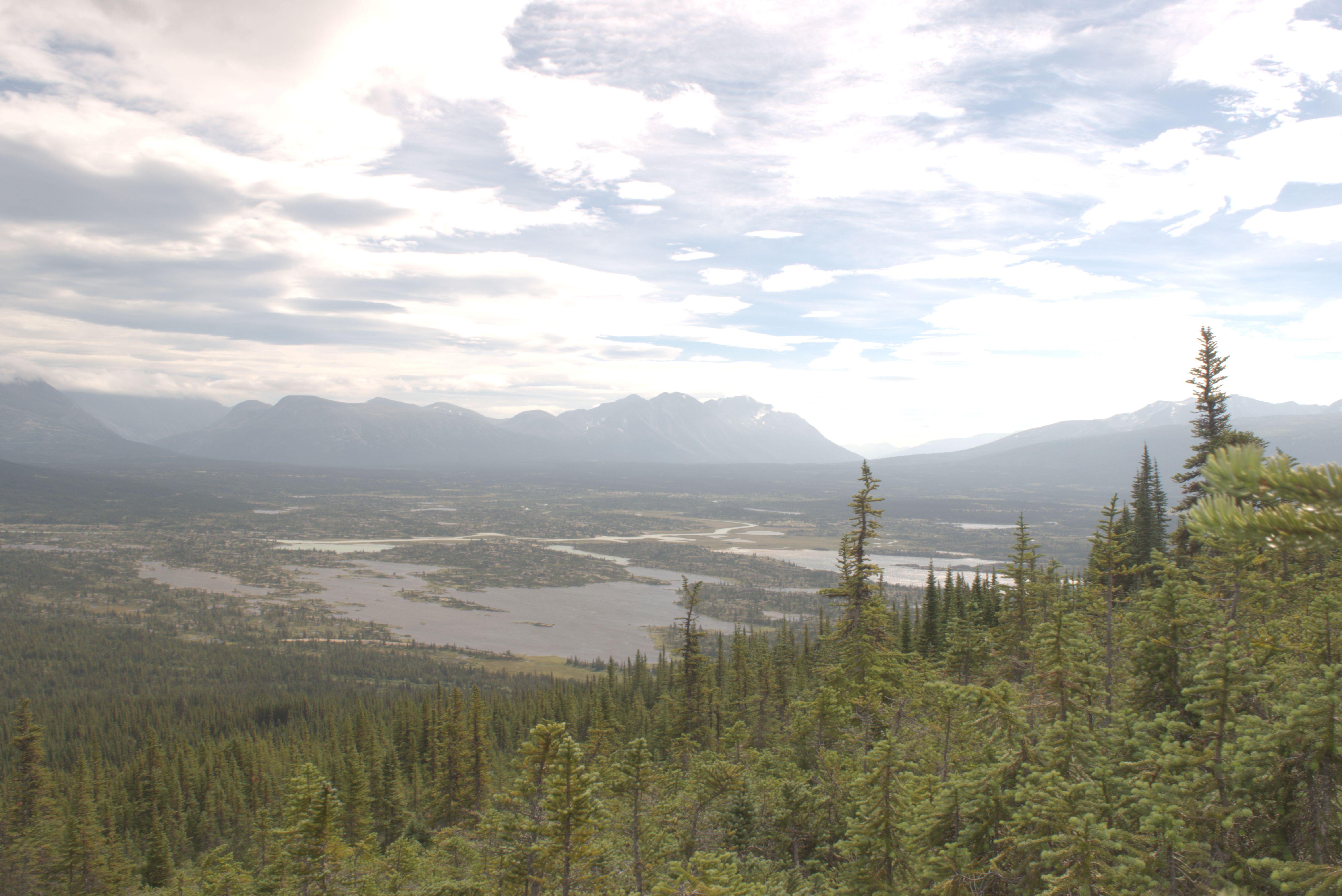
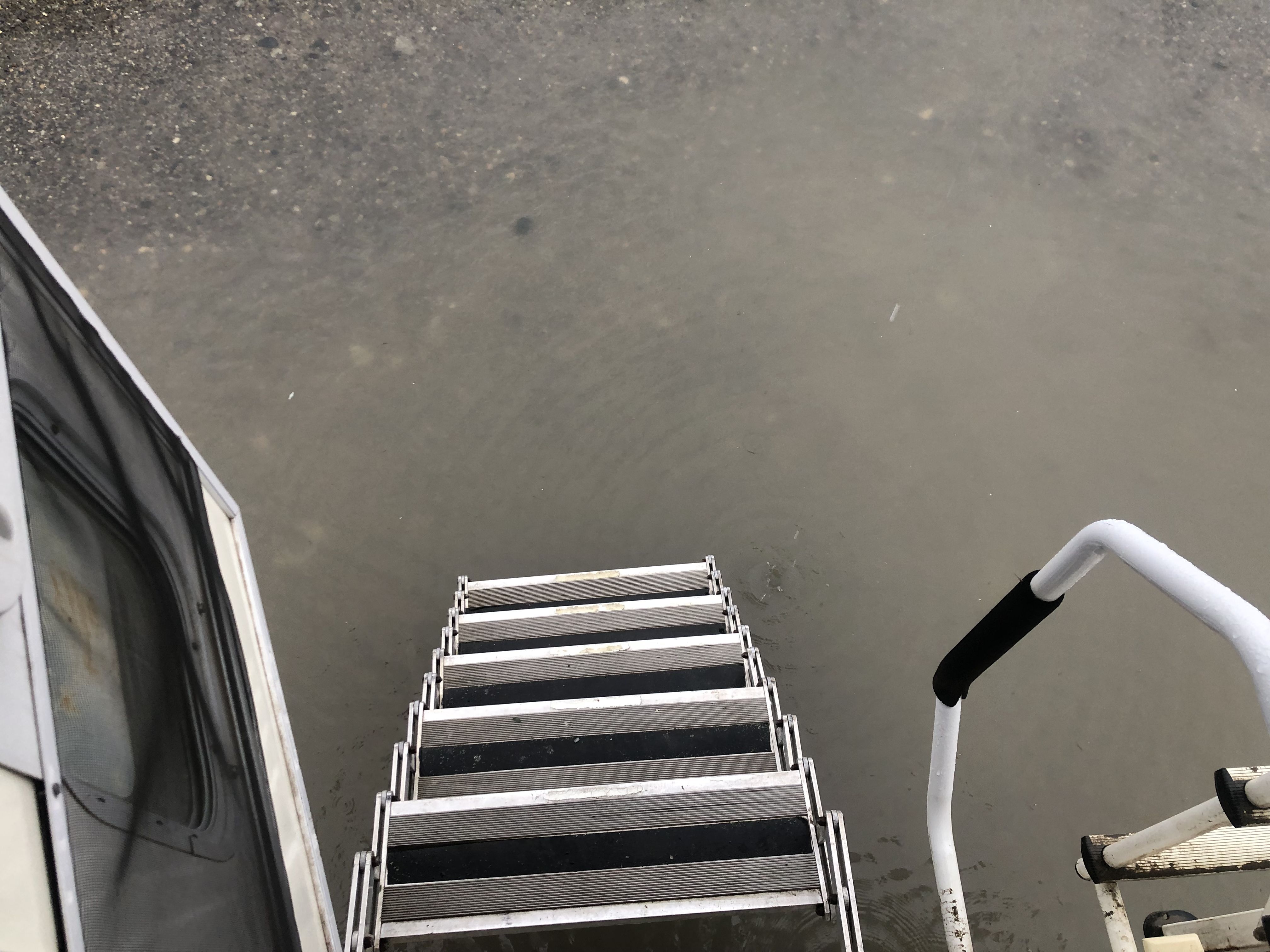
Back in Whitehorse. On Susi’s last night, it rained heavily, and we woke up to find ourselves in a lake.
The community bike repair shop, which operates out of the old trailers, is underwater too.”
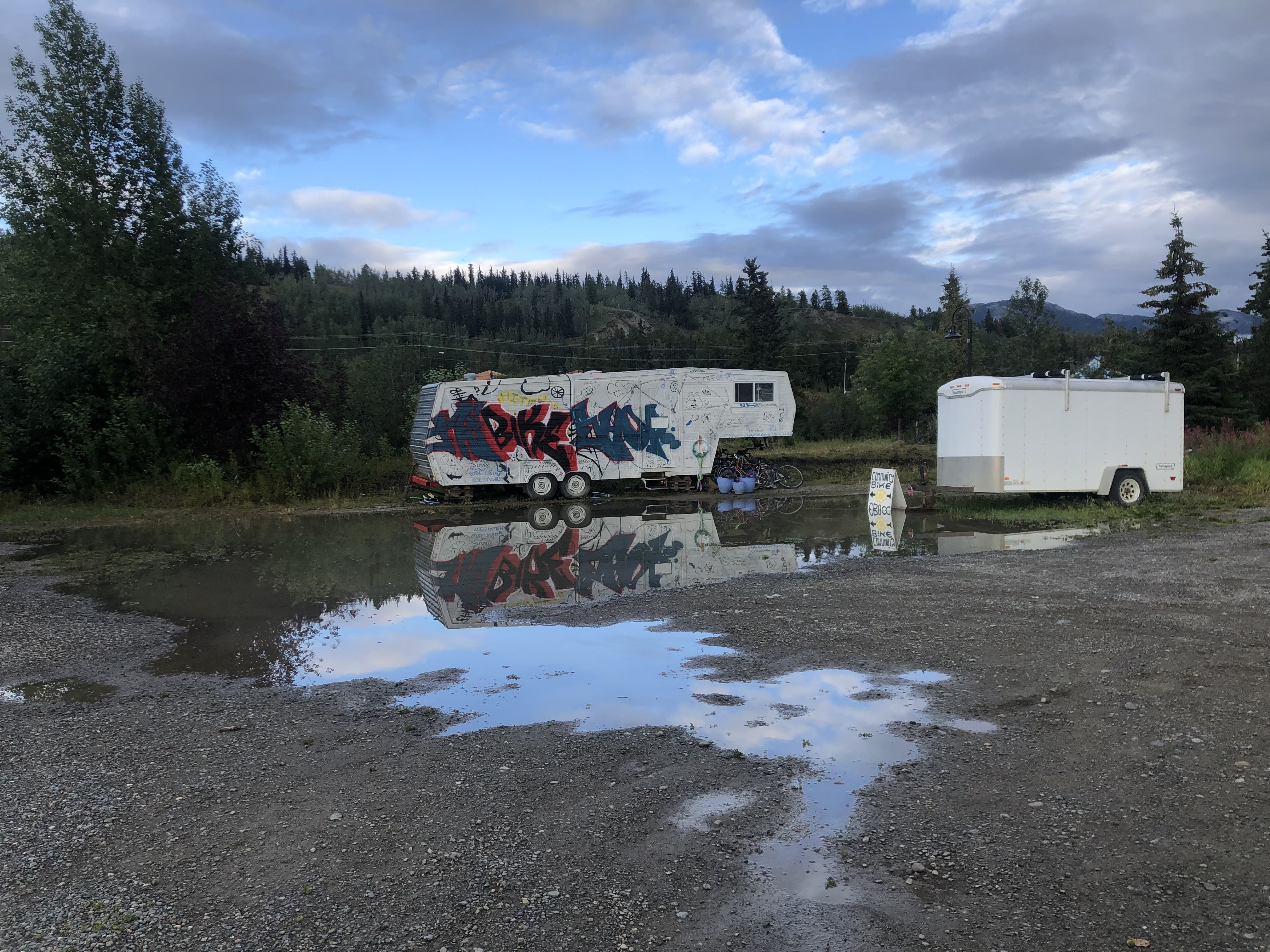
This is run by volunteers to help support the homeless community.
I spent two days in Whitehorse doing some camper clean-up and maintenance while Susi got her birthday bike in Windsor, Ontario, and took possession of our home in Lion’s Head again. The soles of my leather hiking boots came off, and since Whitehorse doesn’t have a resident cobbler, I glued them back on myself—curious to see how long that will last.
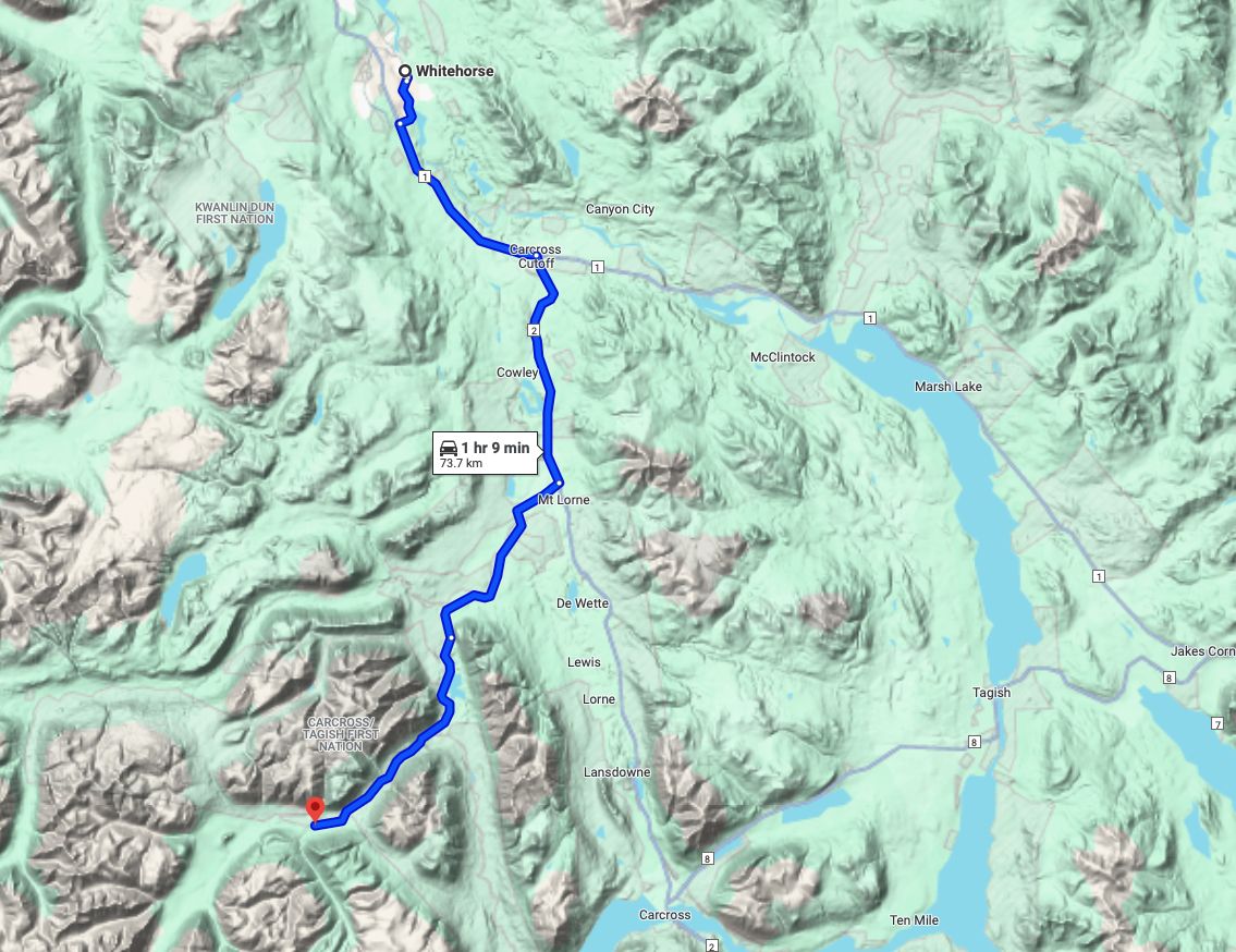
Part 12 Annie Lake Road Map Link
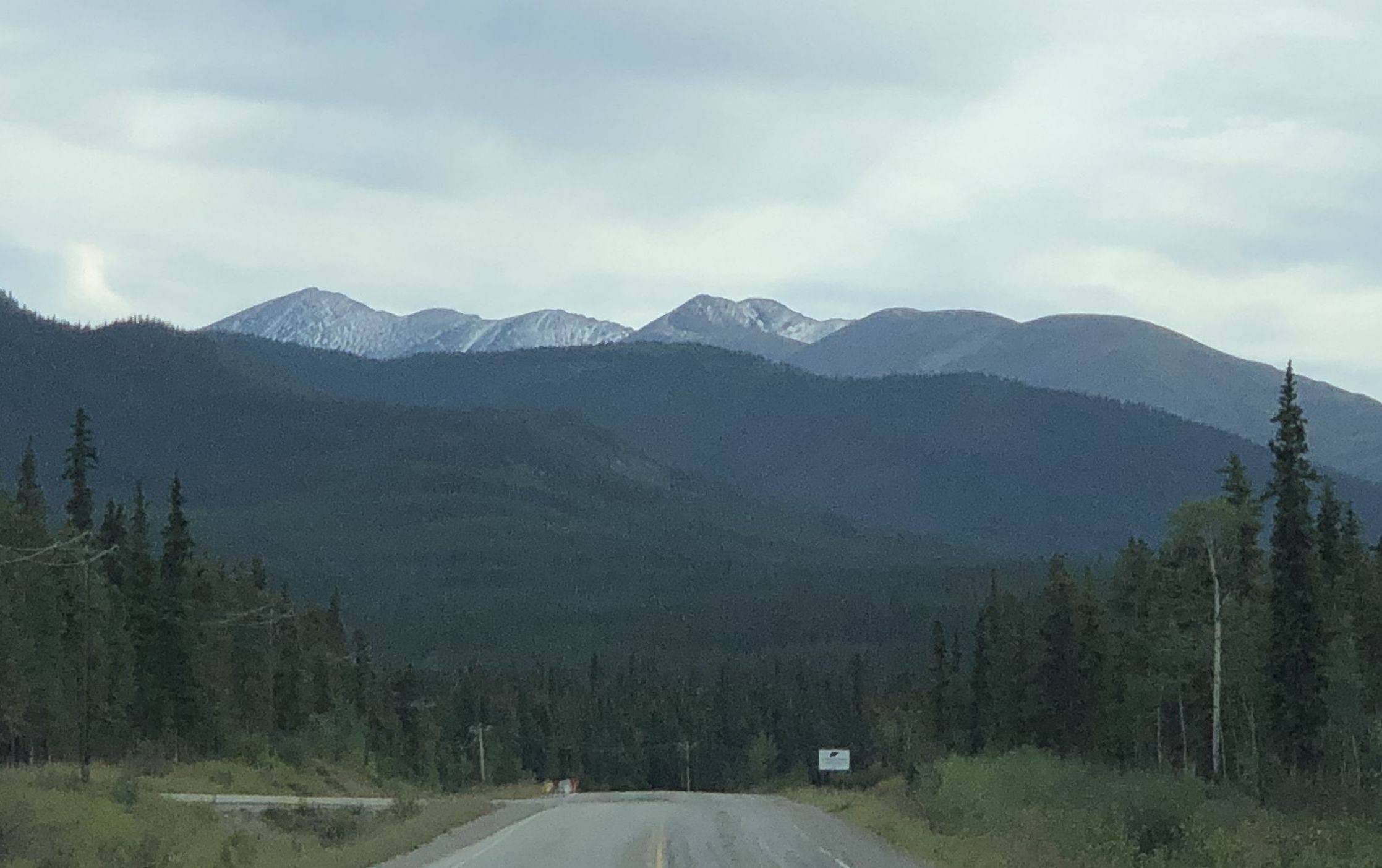
I saw the first fresh snow on the mountains as I headed south toward Annie Lake Road.
Annie Lake Road eventually turns into an unmaintained gravel road with poorly repaired washouts. After 36 km, the bridge is replaced by a ford. Trucks without heavy loads can cross, but I didn’t want to attempt that with the camper on the back.
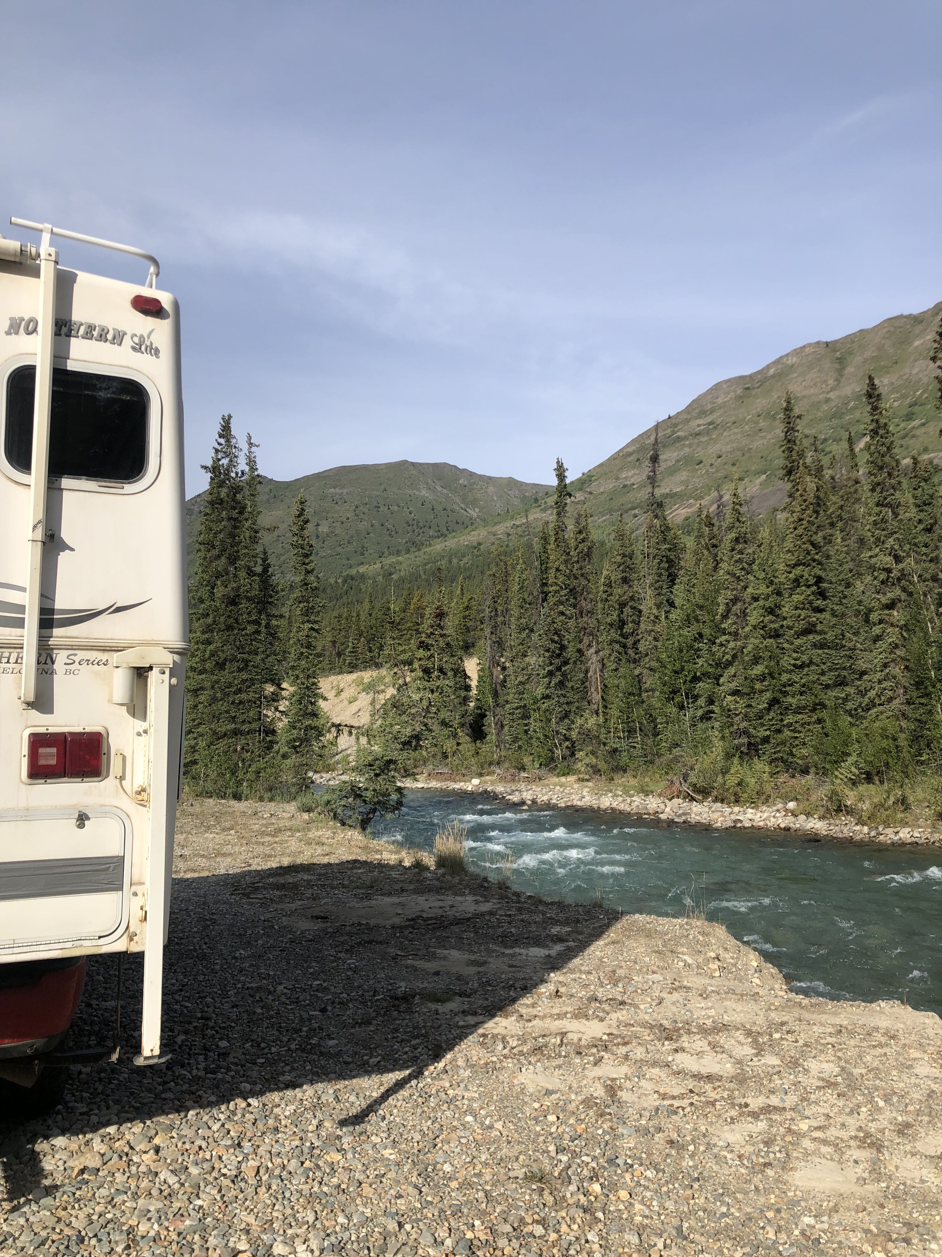
On the first night, I stayed beside the Wheaton River.
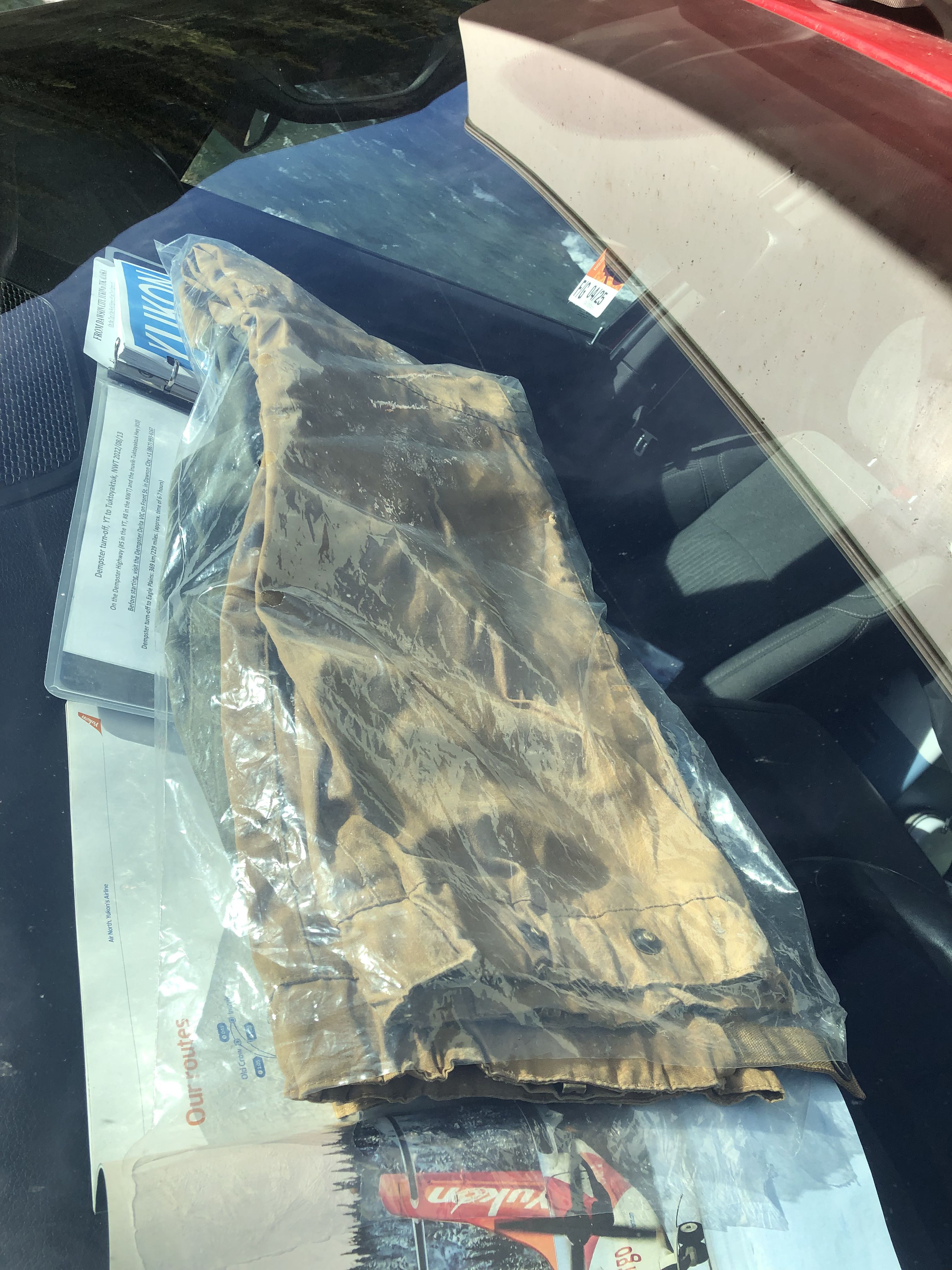
If you need to wax your pants but don’t have an iron to melt the wax, use your dashboard on a warm, sunny day.
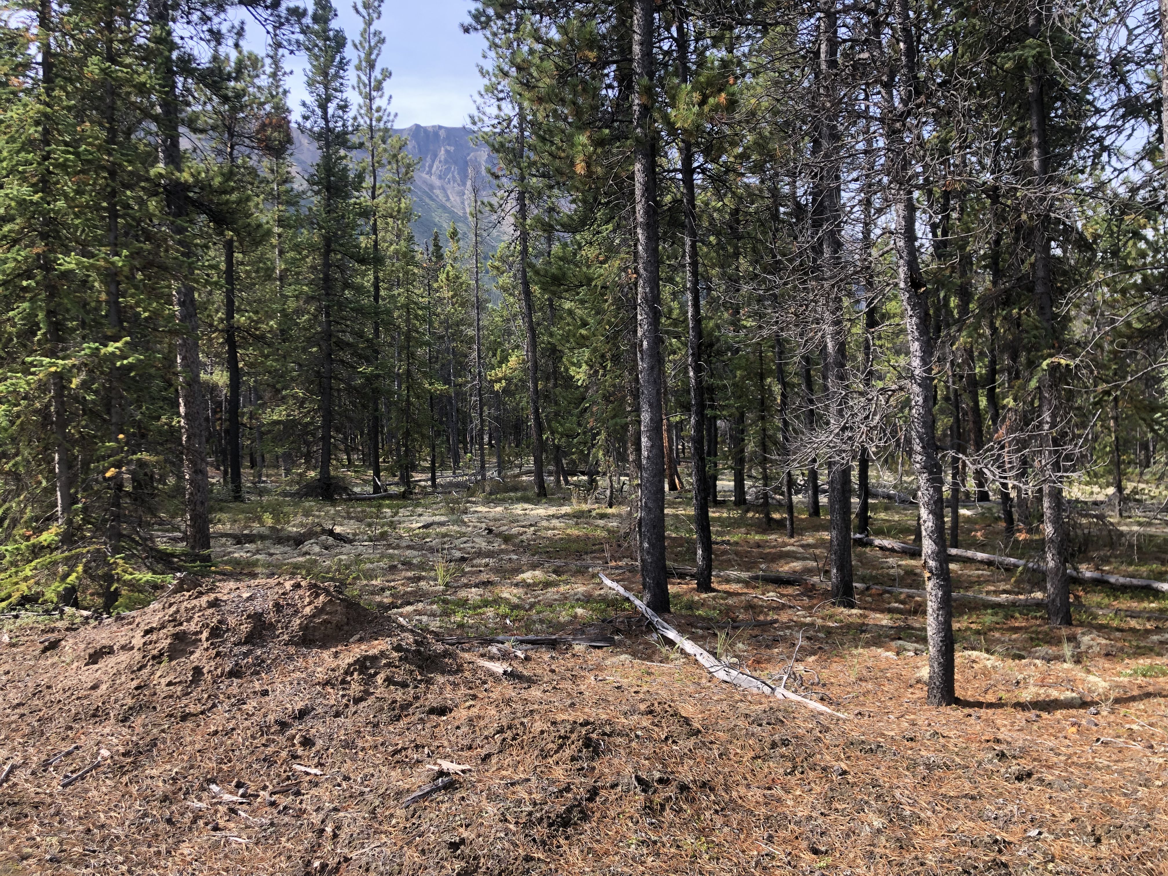
The walk begins through a beautiful pine forest, with lichen covering the ground.
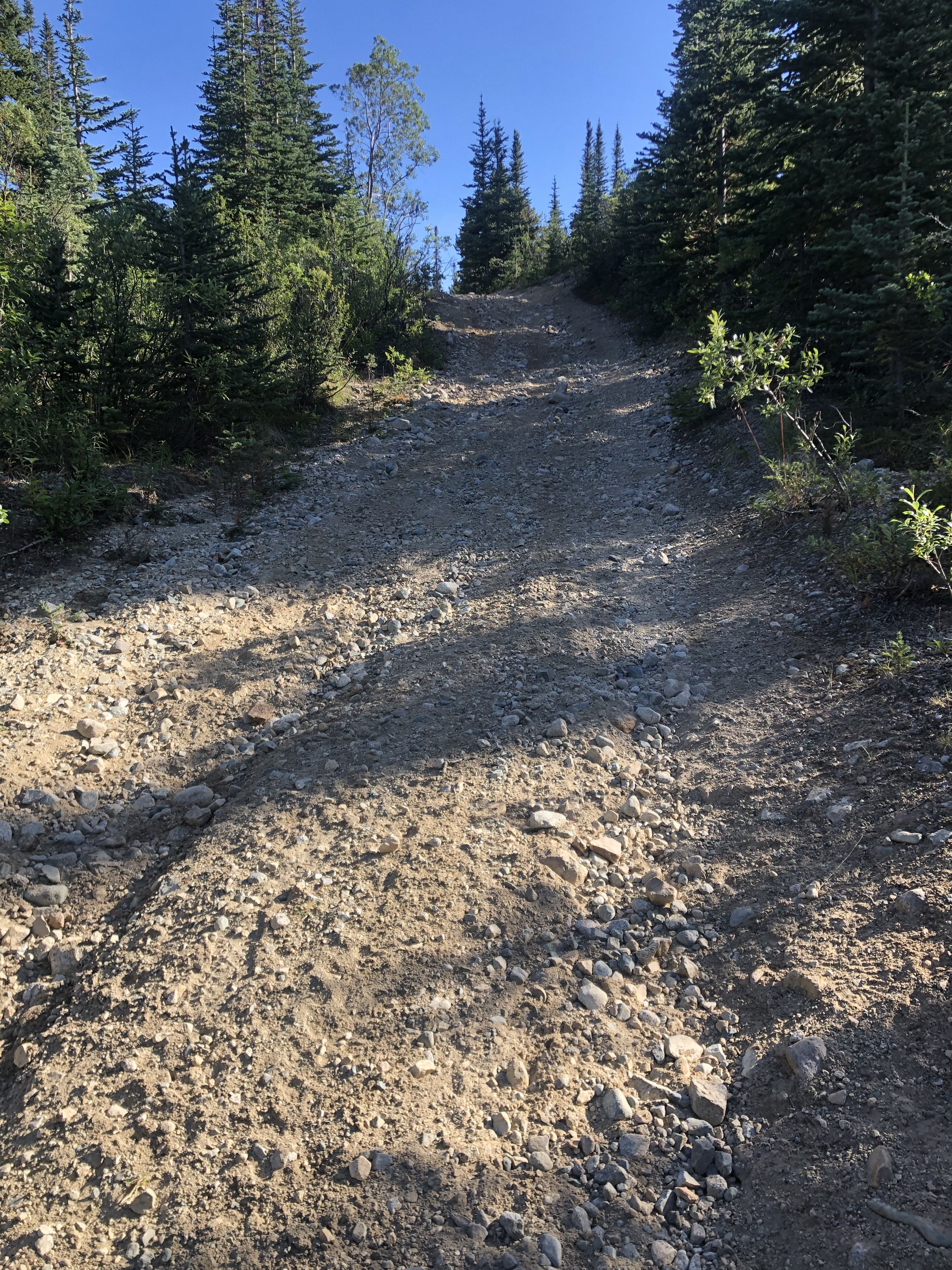
The ATV trail becomes steeper, about 45 degrees, with deep, loose gravel that makes walking challenging.
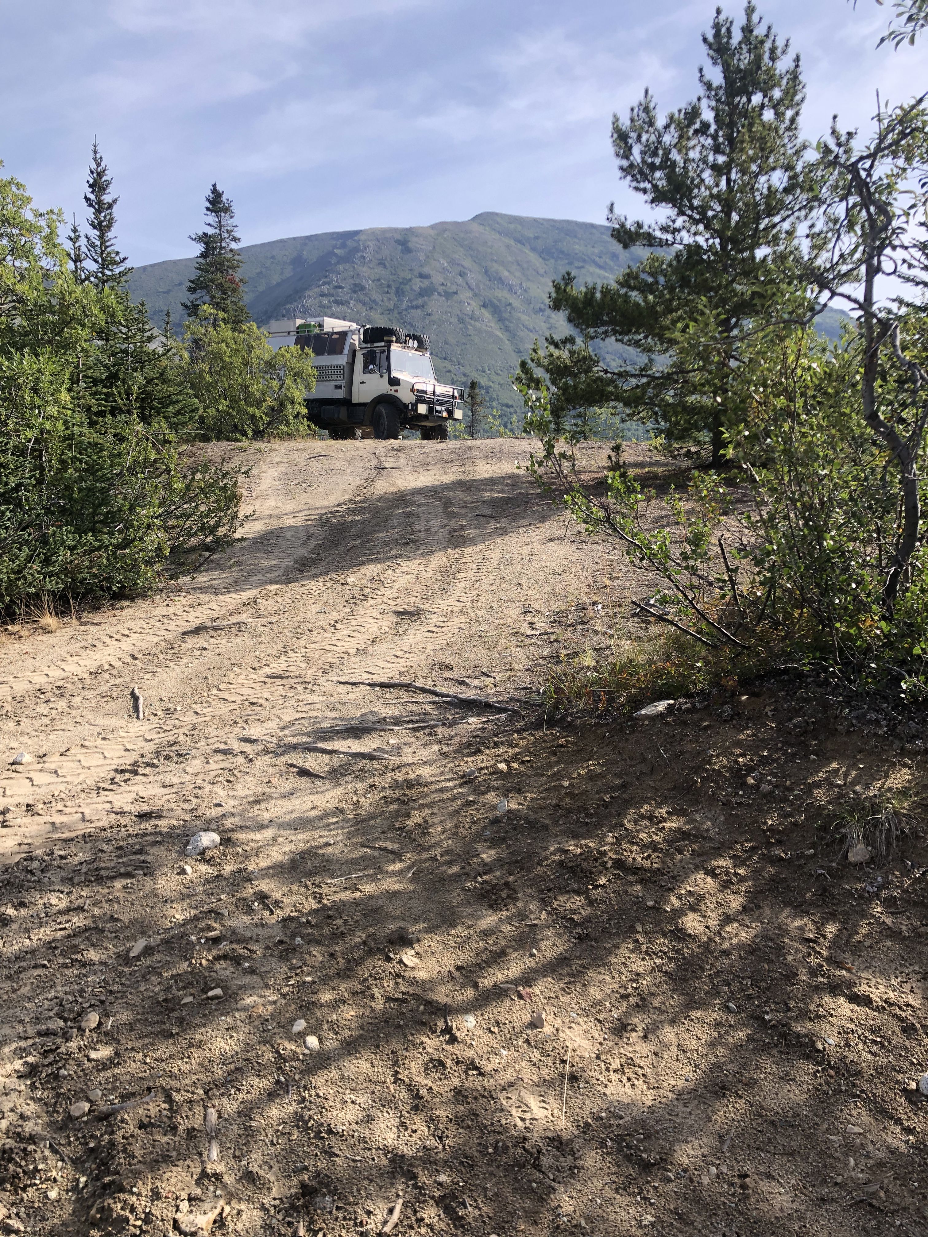
Yet, some still feel the need to drive up this path.
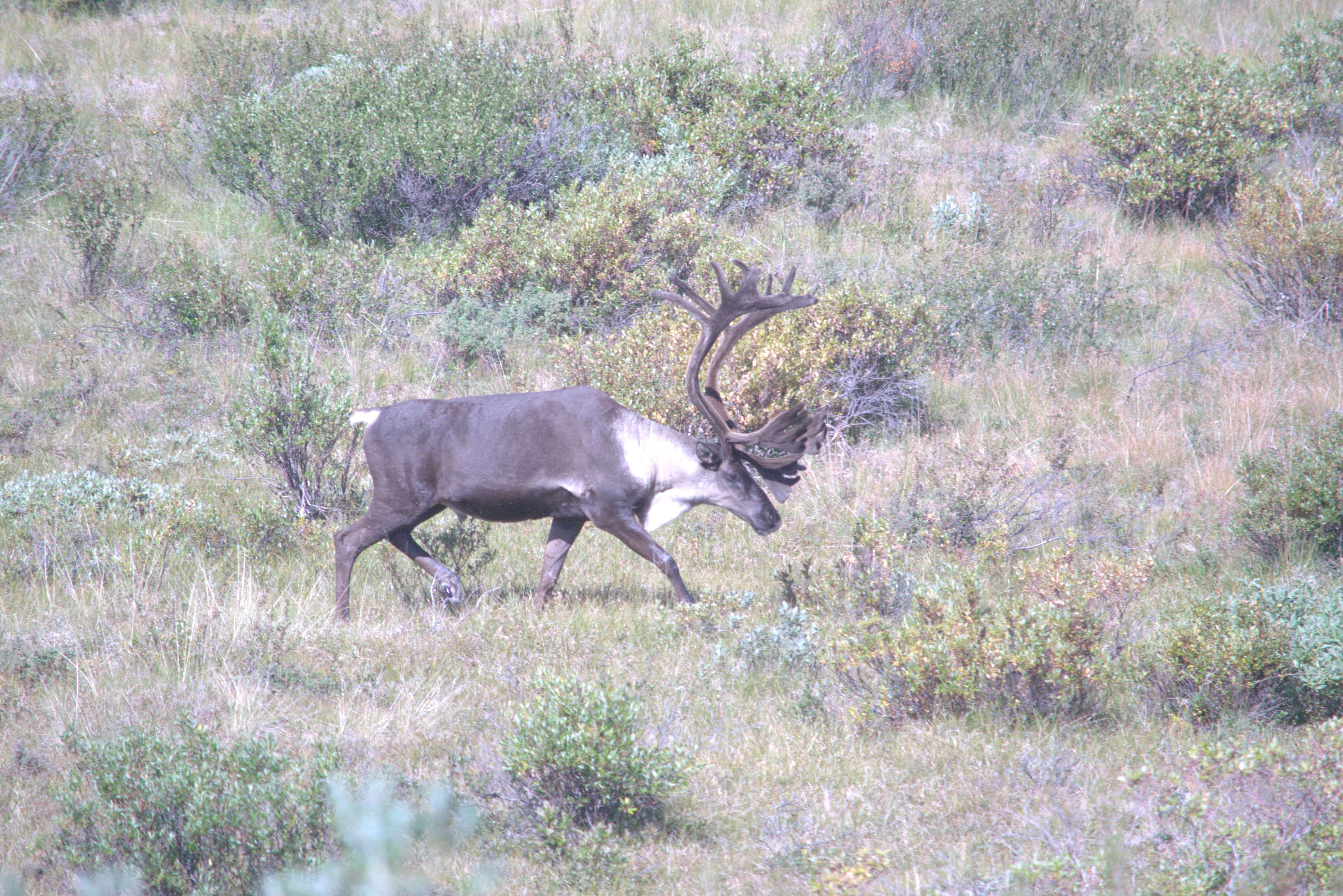
While reading a book, a large male caribou came by.
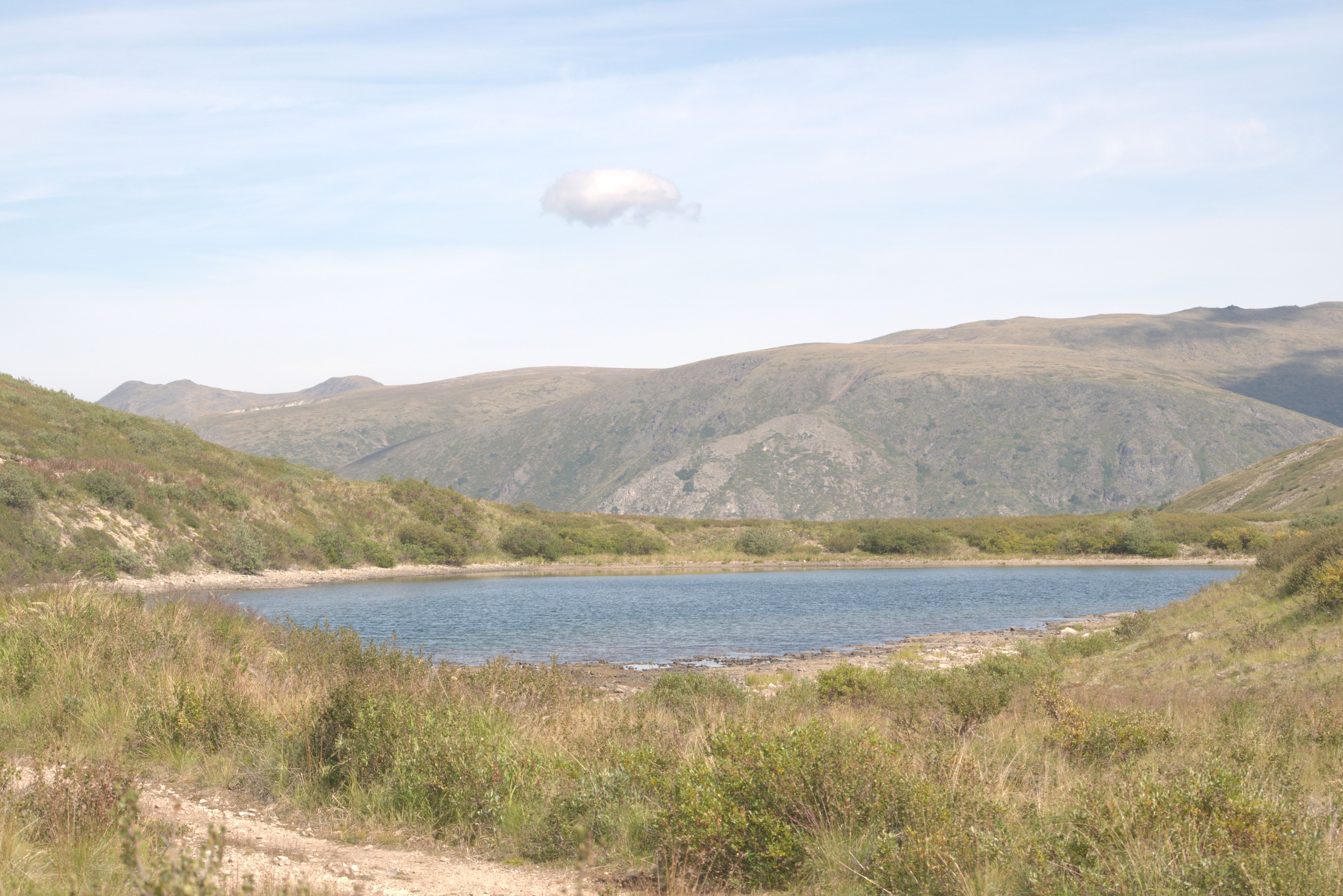
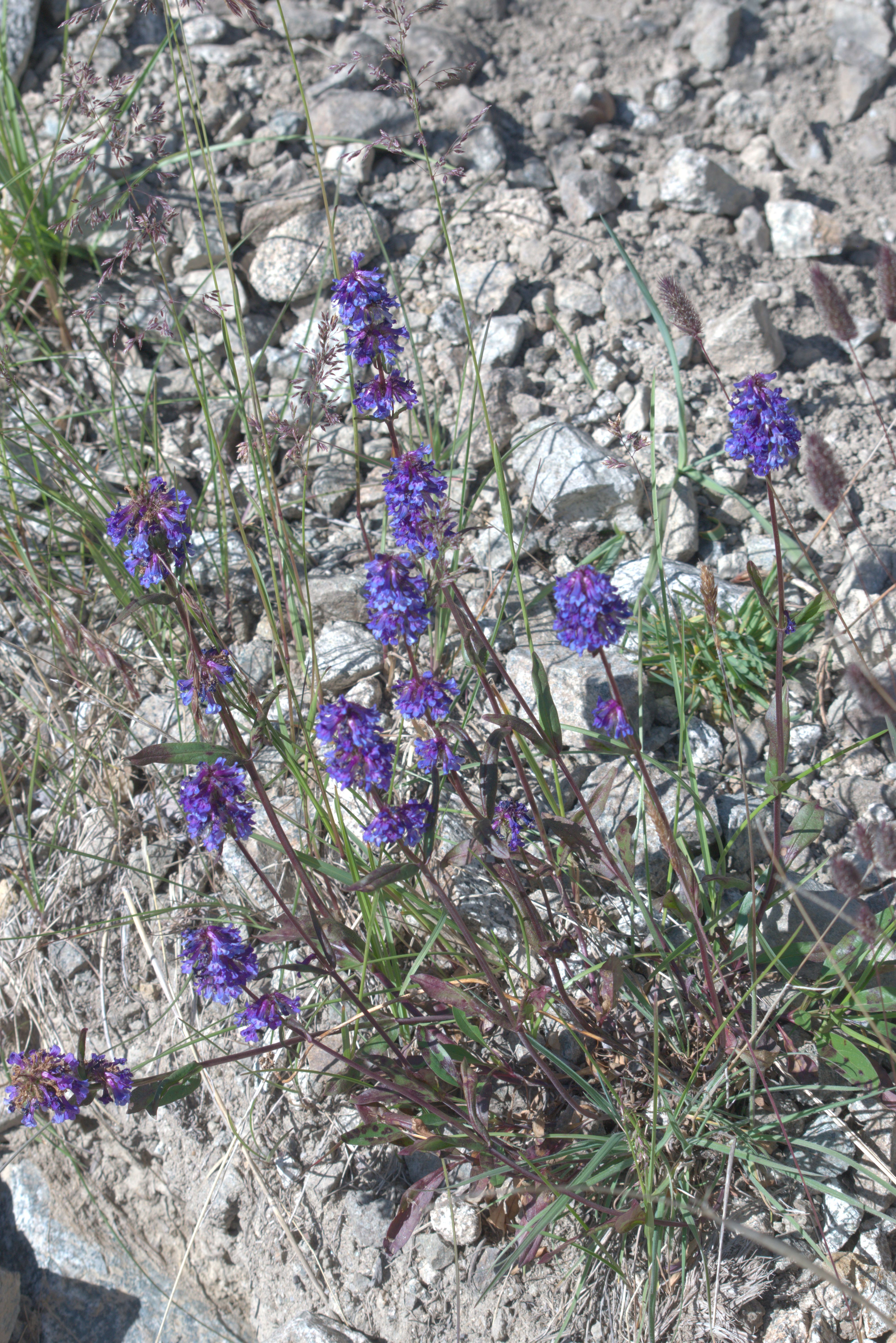
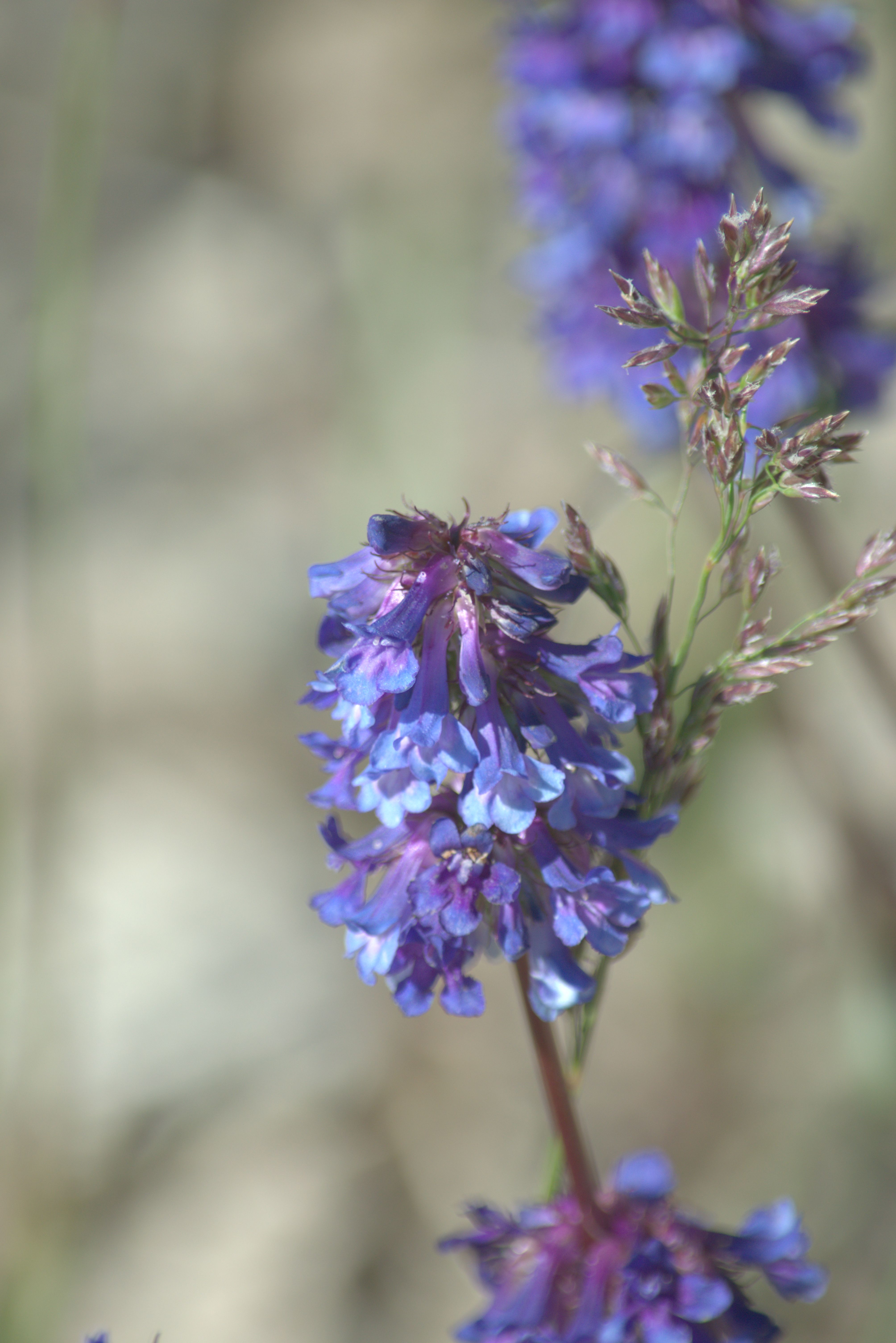
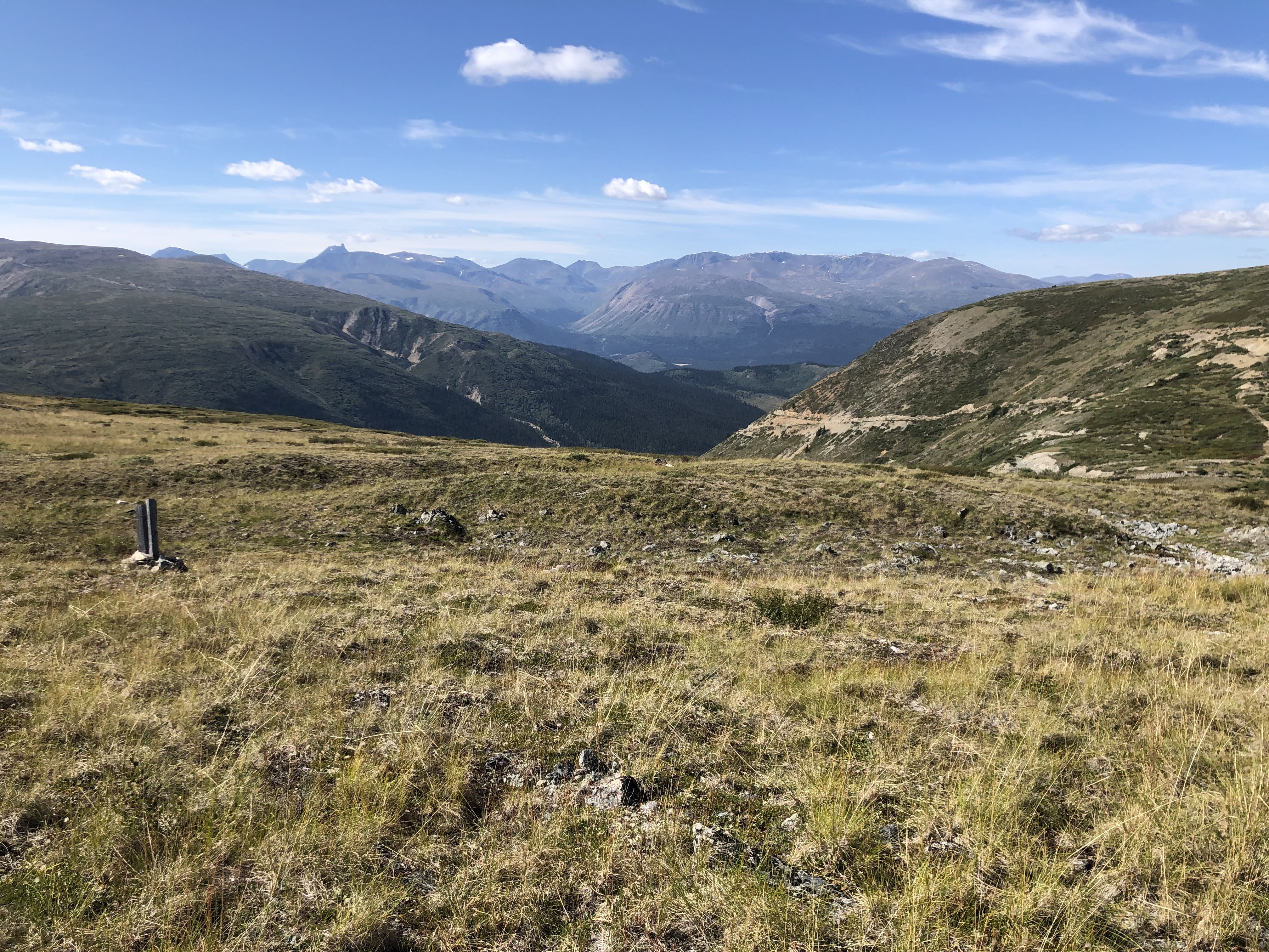
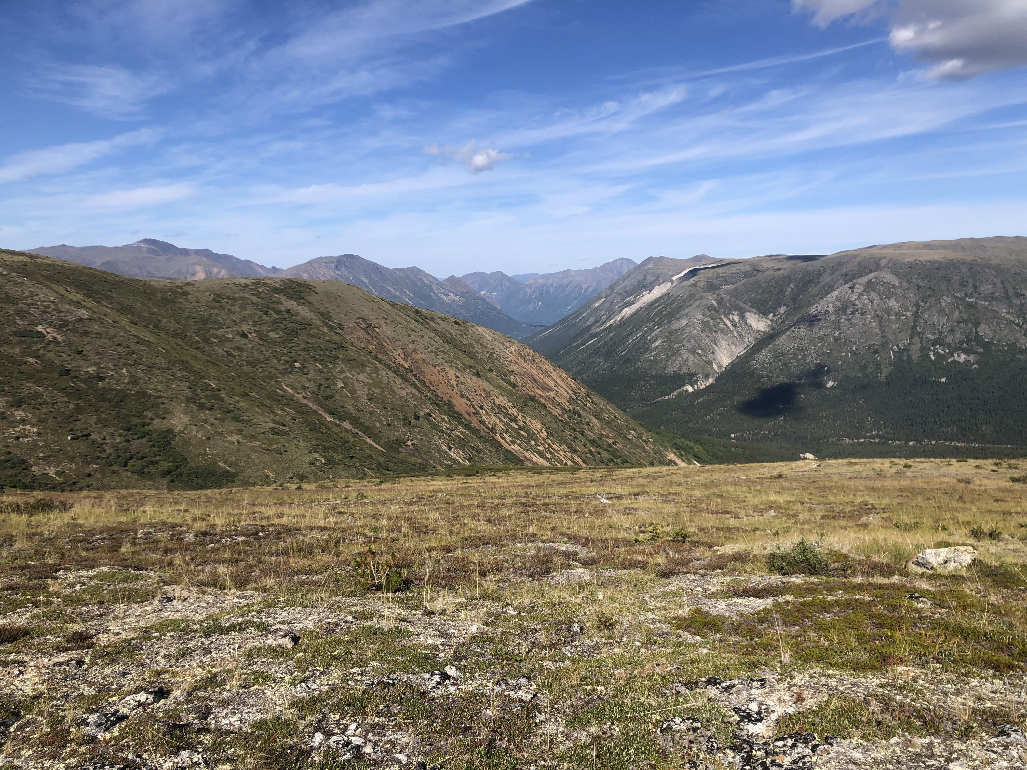
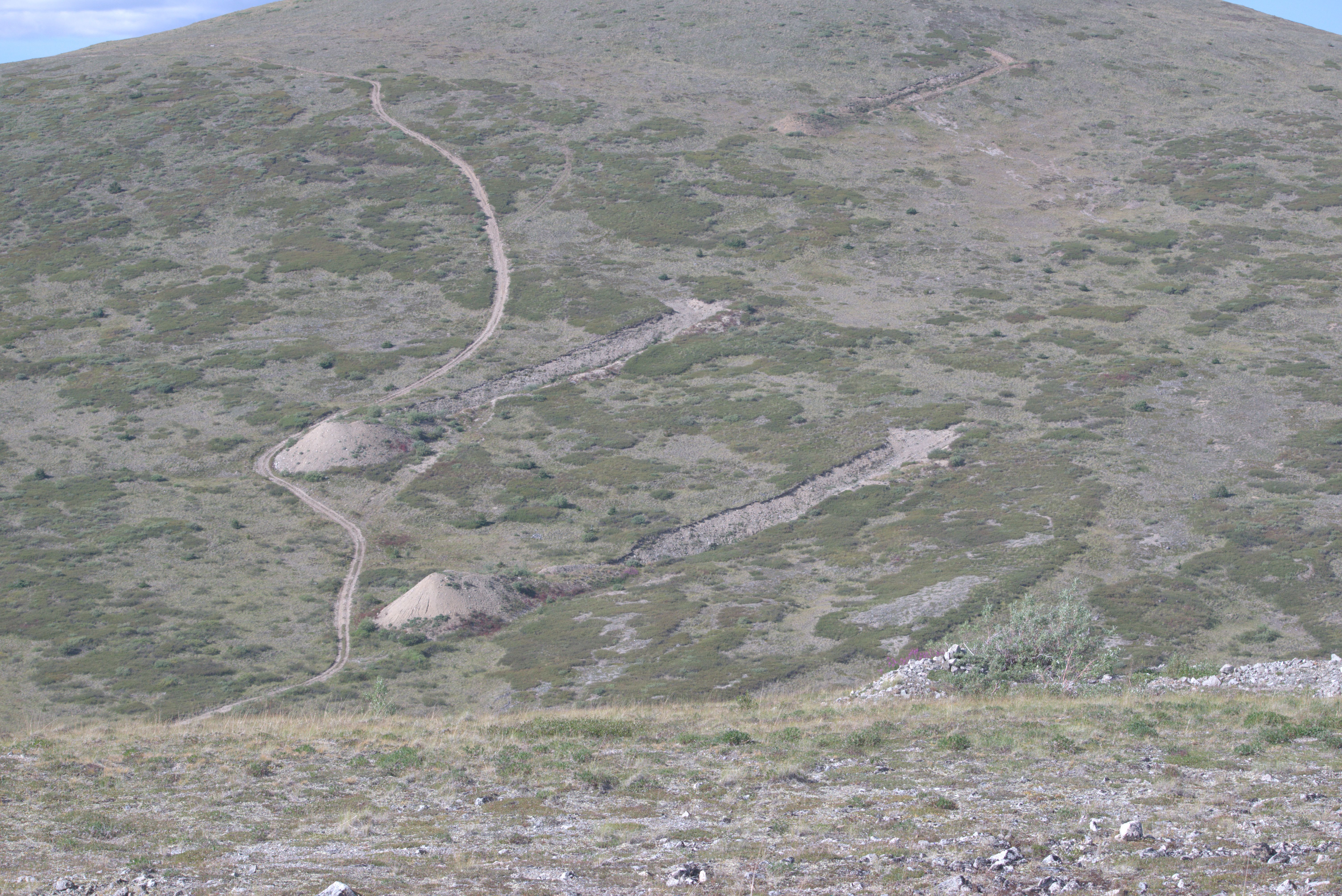
The ‘roads’—more like rough ATV trails leading into this area—were built by mining explorations.
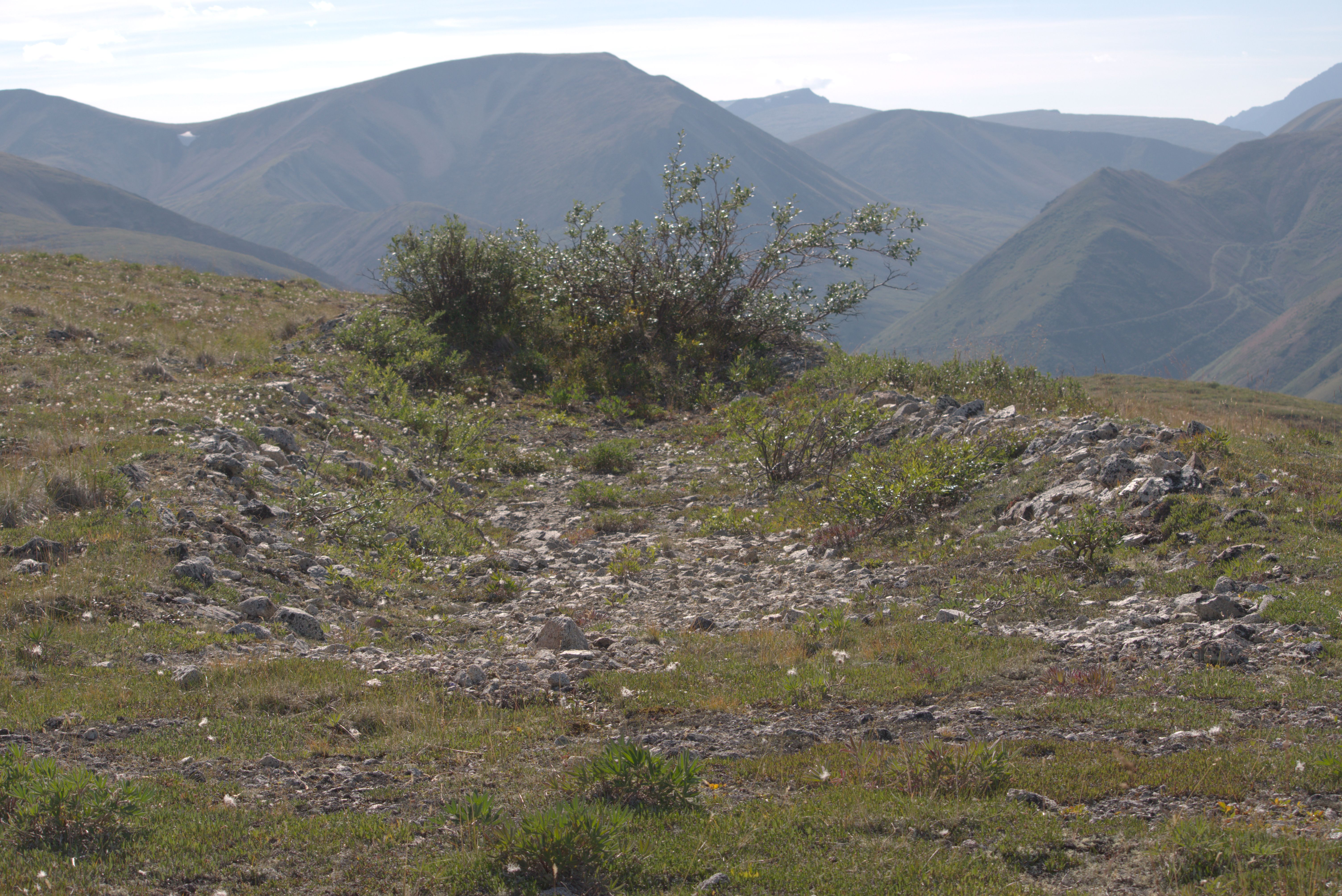
View over the Wheaton River valley.
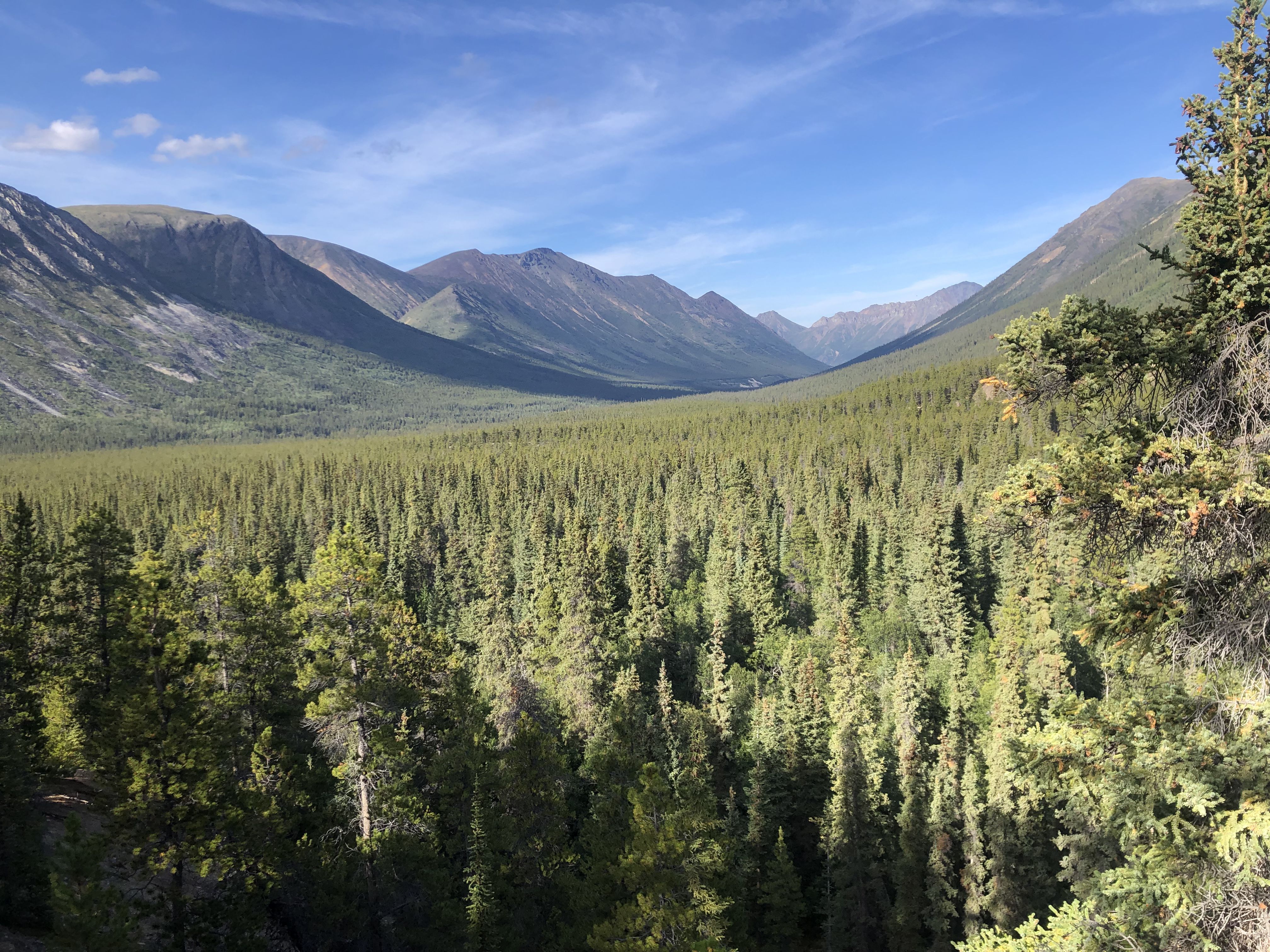
Camp at Becker Creek Ford, August 17th–20th.
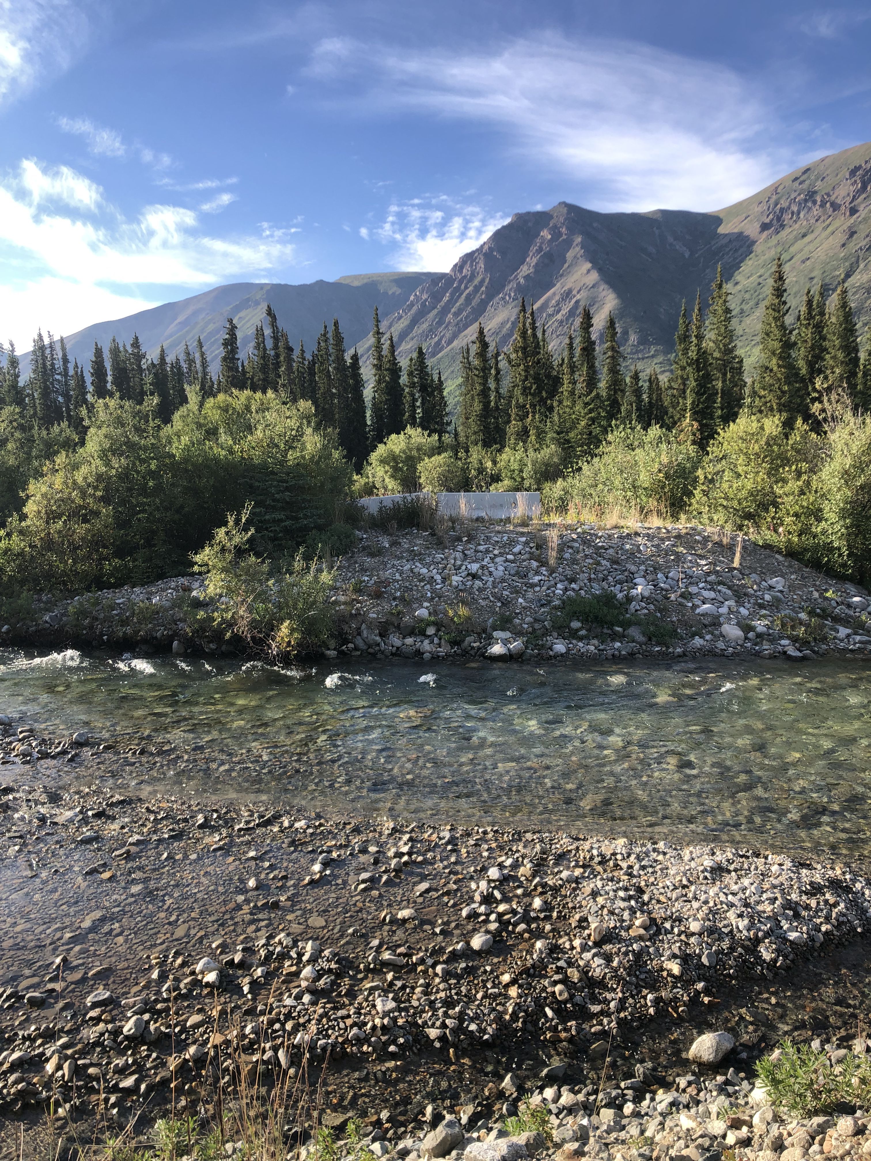
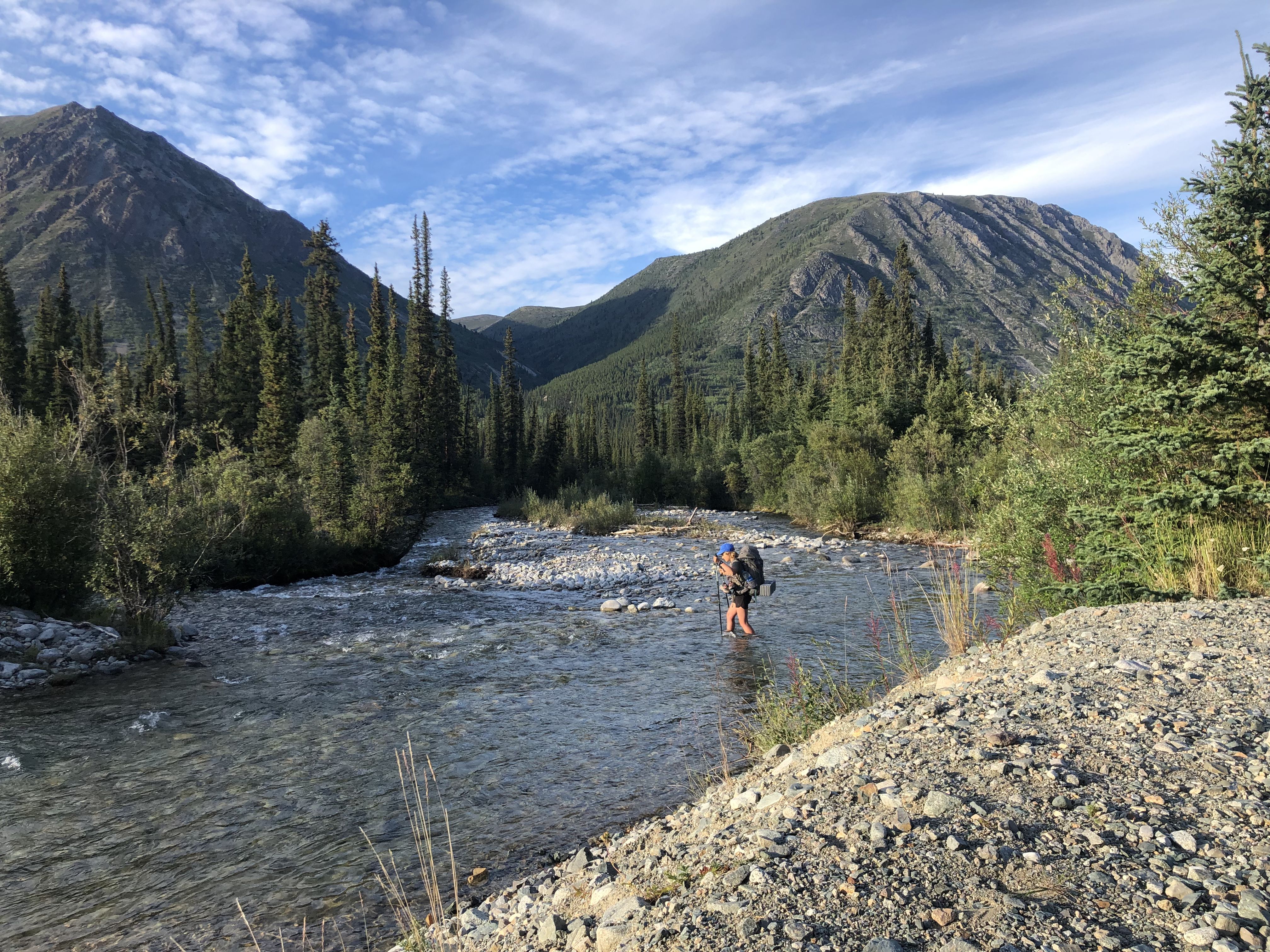
Reading day August 18th.
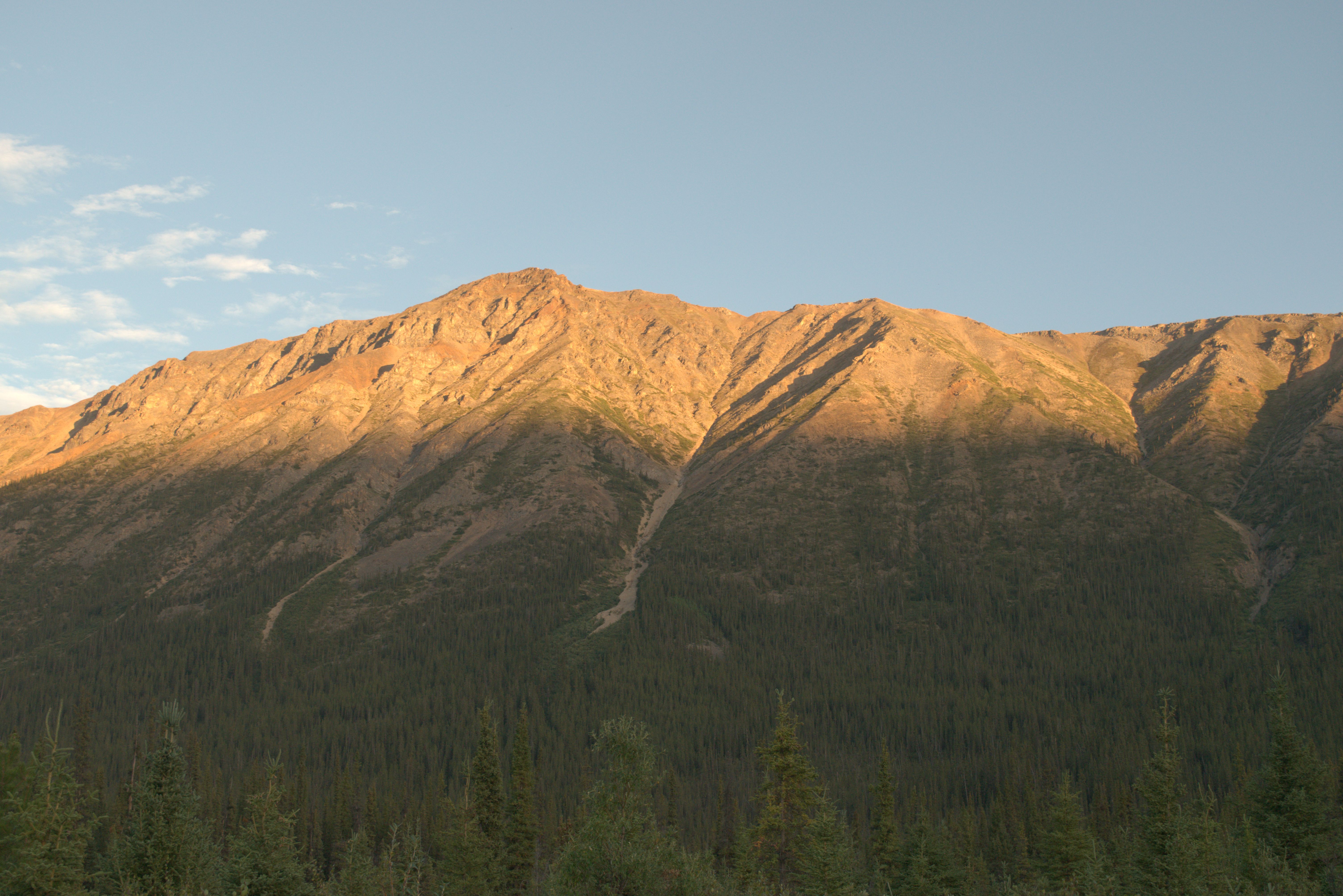
To access the trail, I crossed the ford barefoot. The hiking poles helped me maintain my balance in the strong current.
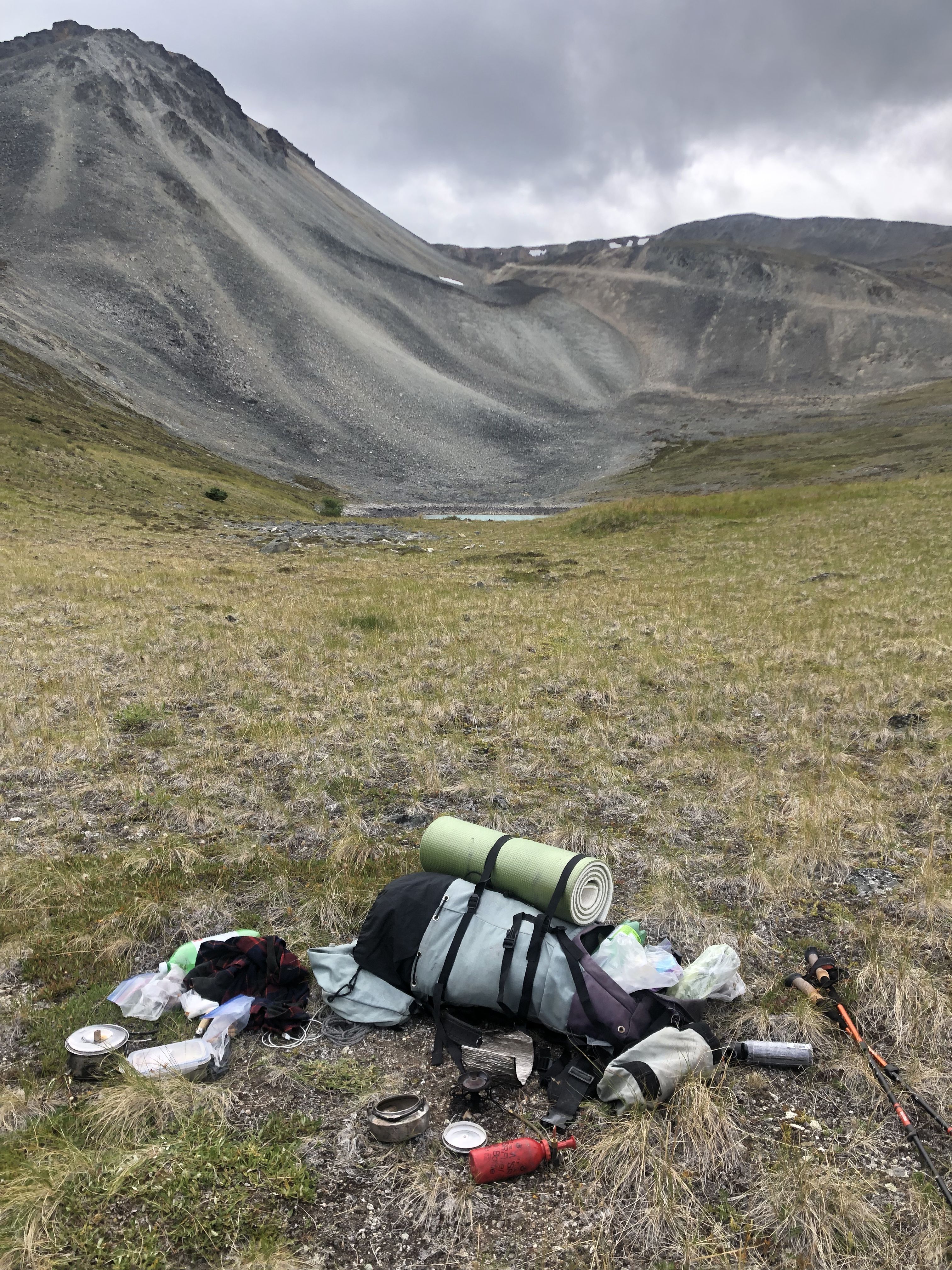
I planned to spend the night near the lakes, so I had a heavy backpack with overnight camping gear. It was fairly easy to follow the old mining exploration trail, now used by hikers and ATVs.
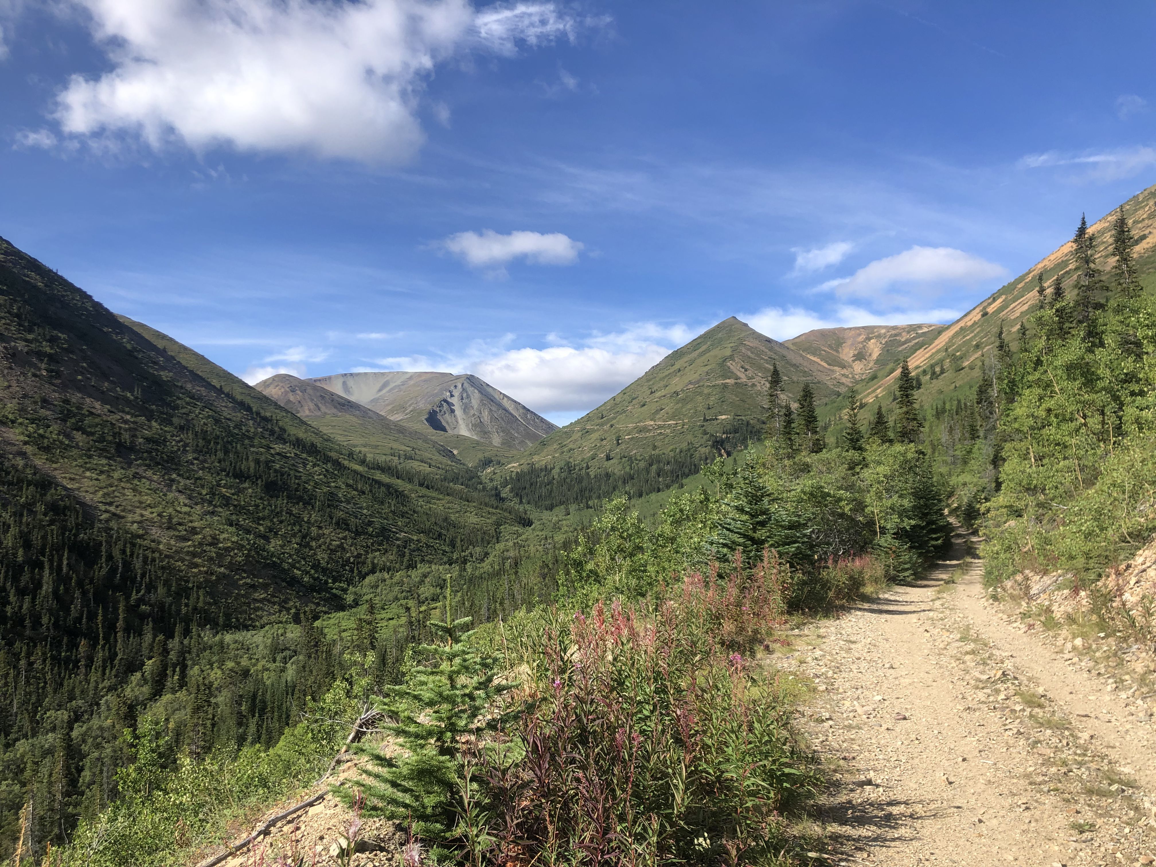
Beautiful views after I entered the subalpine zone. After 10 km and a 900 m elevation gain, I reached the lakes.
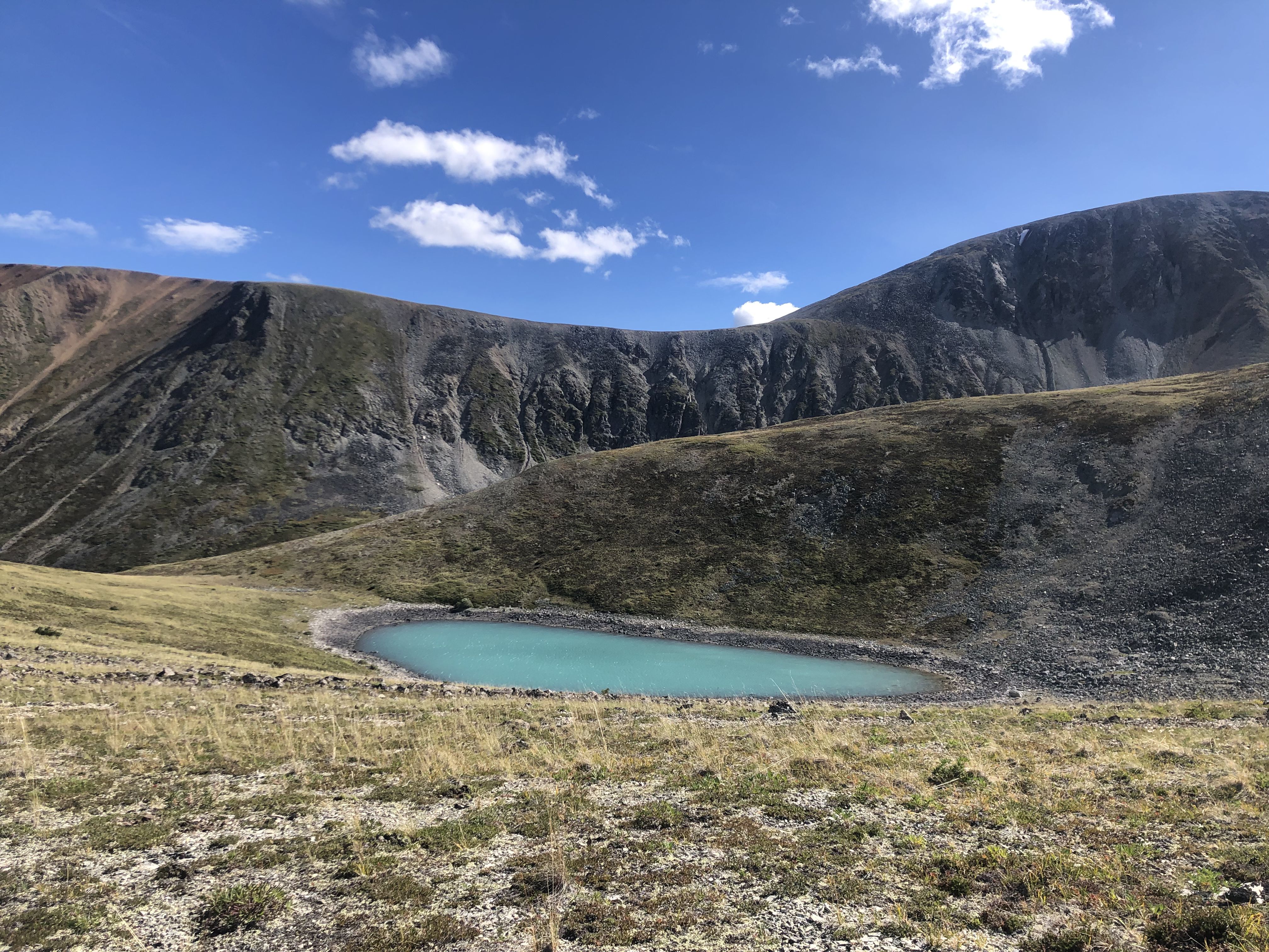
I was looking for a campsite sheltered from the very strong and blustery winds, but no vegetation or rock formations provided shelter. The wind was so strong that I wondered if my tent would withstand it.
The vistas are fantastic, and I only met two parties all day.
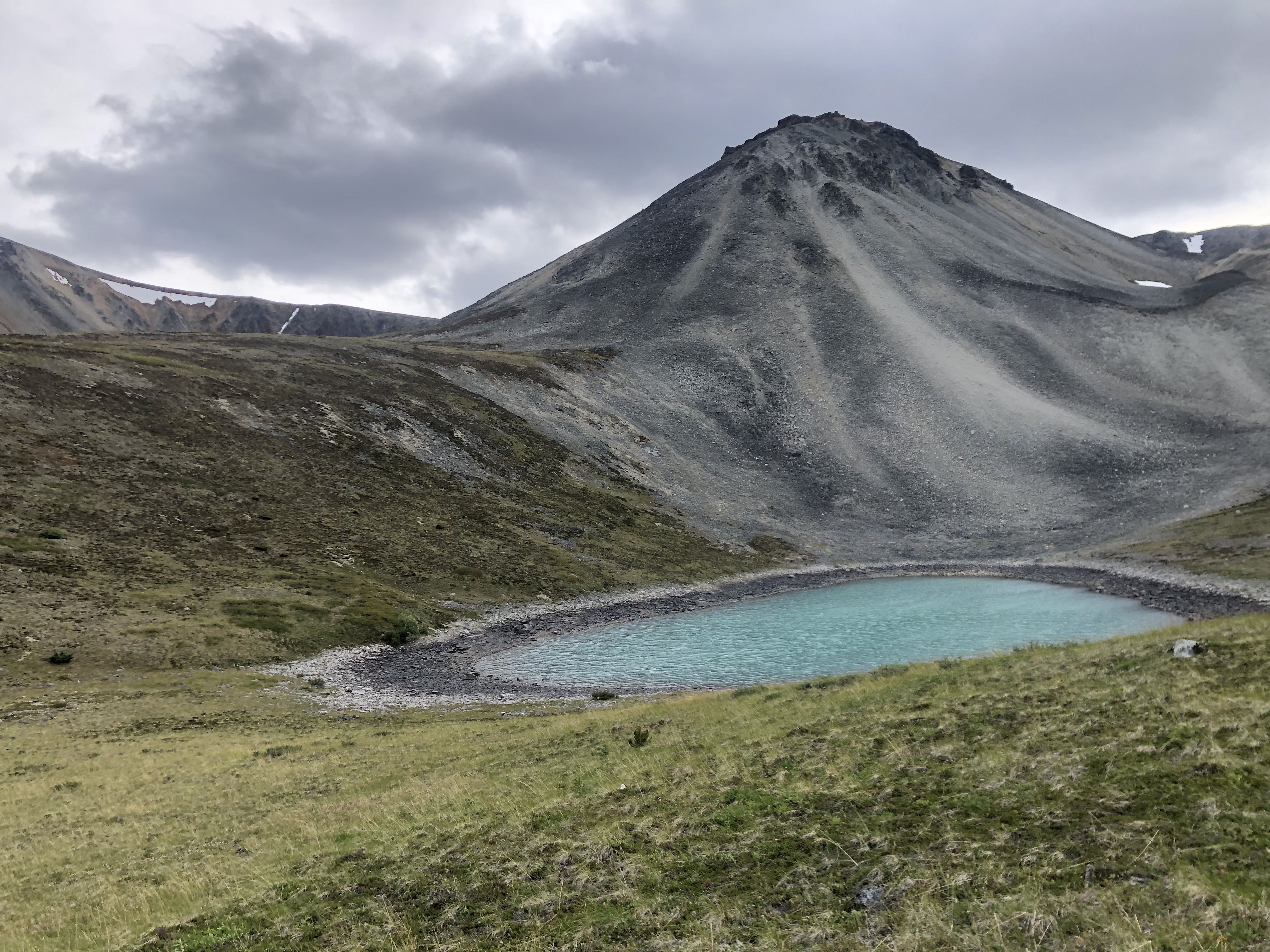
After lunch by one of the lakes, I met a group of local women from Whitehorse who had come halfway up with their UTV. They mentioned that a weather system might be coming in the next day. Sure enough, dark clouds soon blew over the ridge behind me.
Around 4 pm, I decided to head back to avoid spending the night in this very exposed location due to the approaching storm.
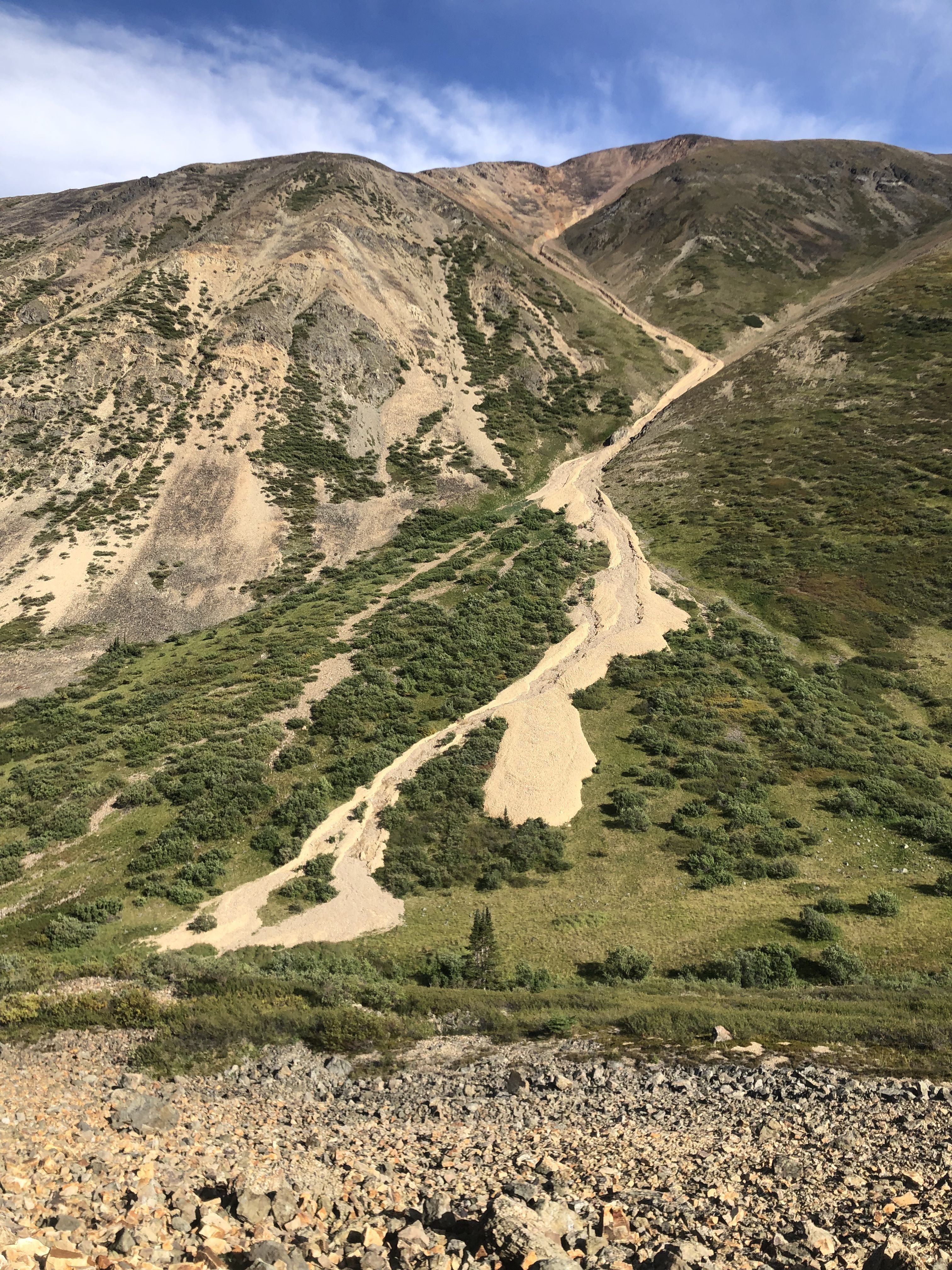
I was happy to reach the camper after this long day.
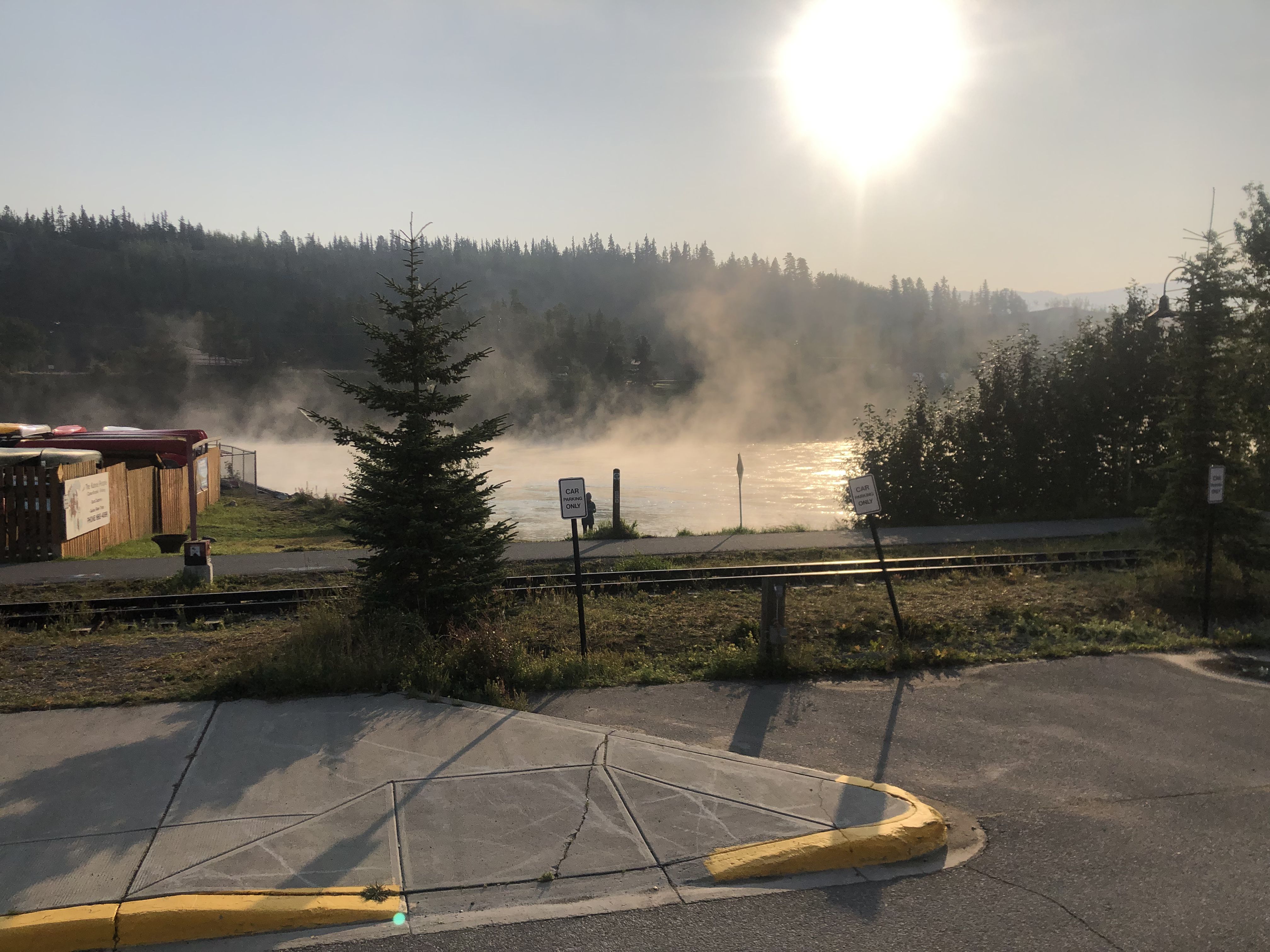
The temperature drops overnight, and it’s only 4 degrees in the camper in the morning. The cool morning air creates clouds over the Yukon River in Whitehorse.
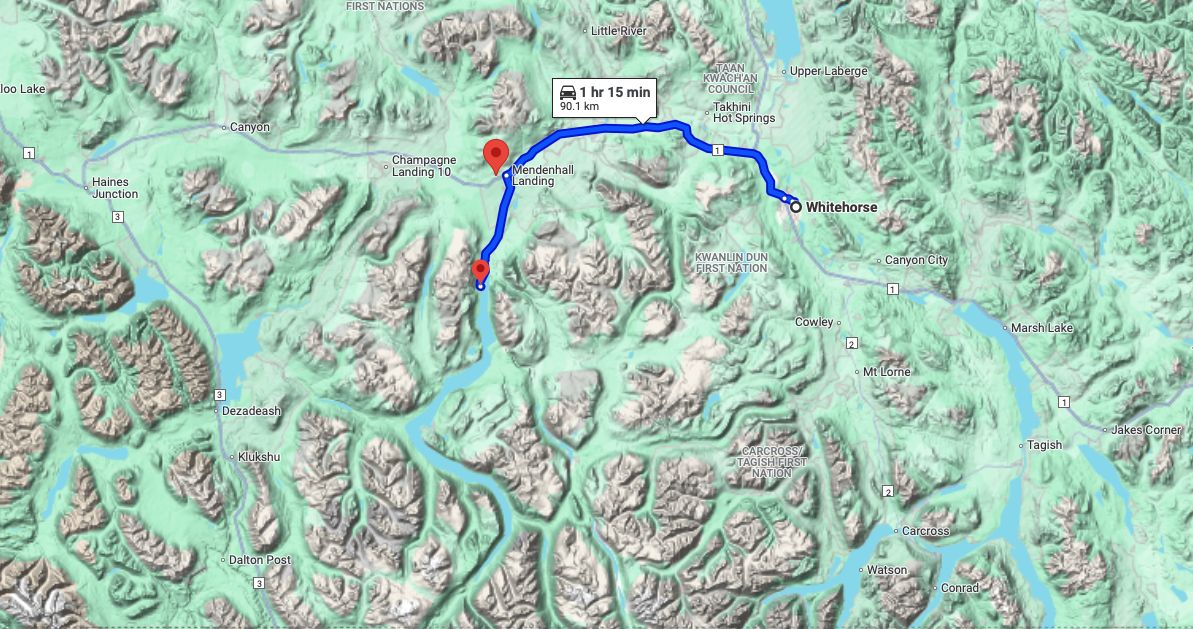
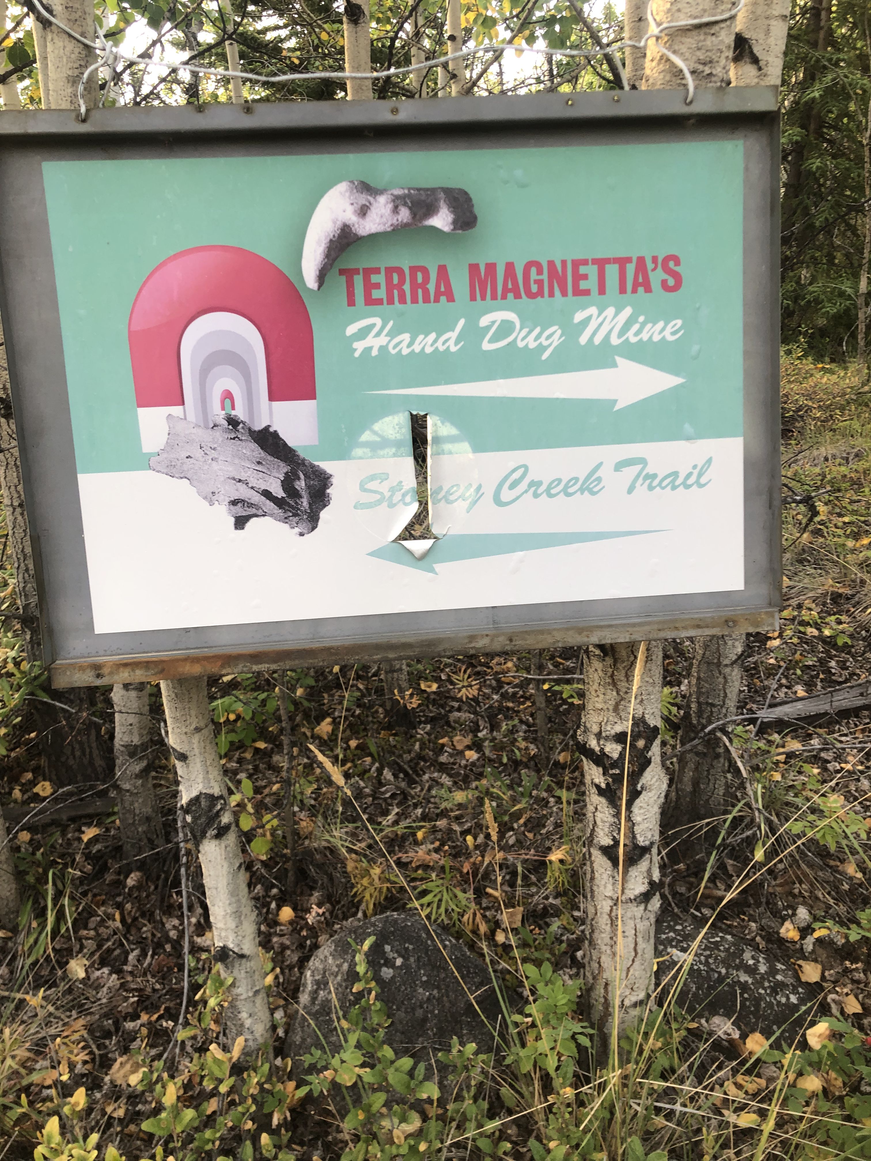
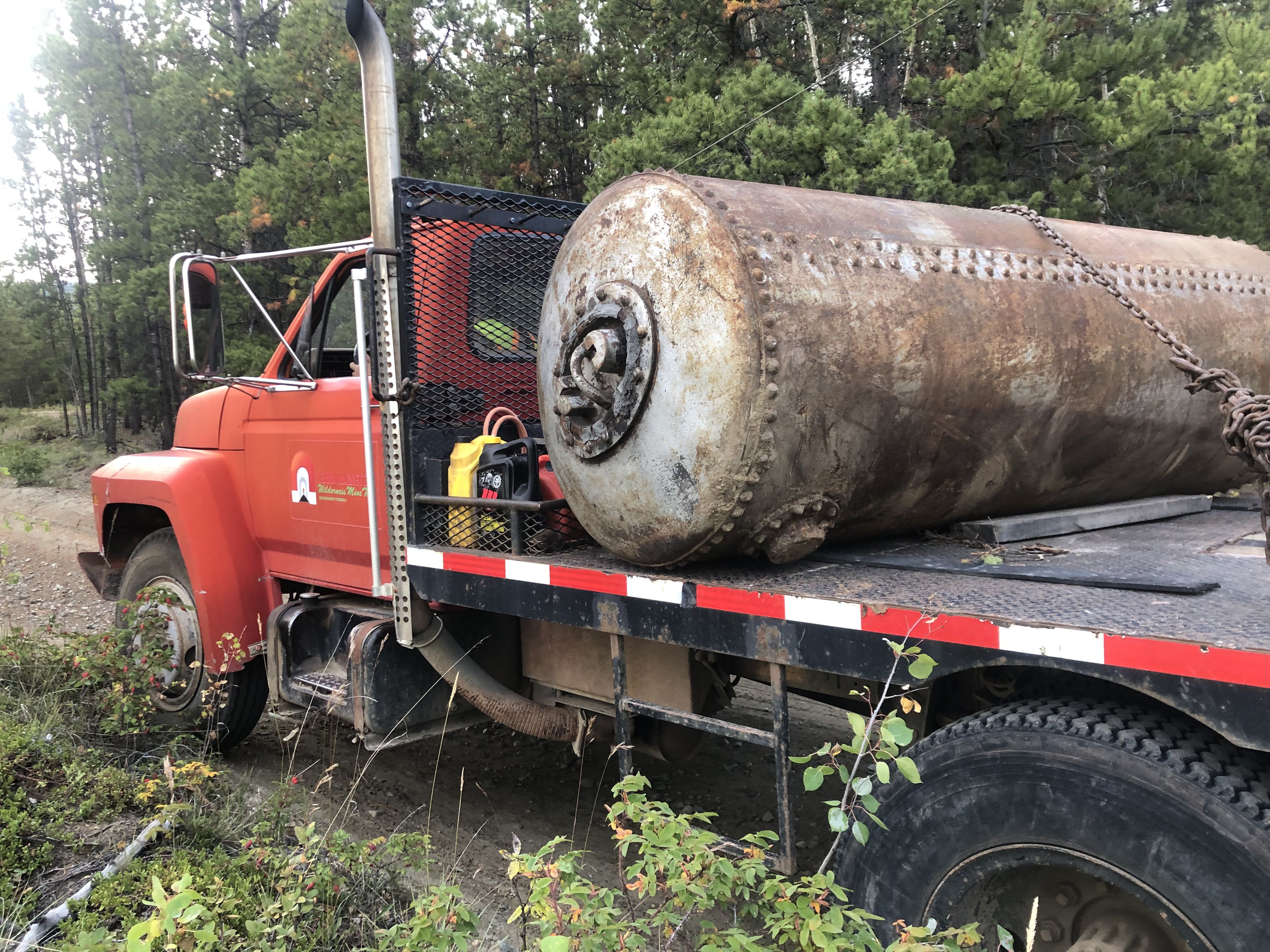
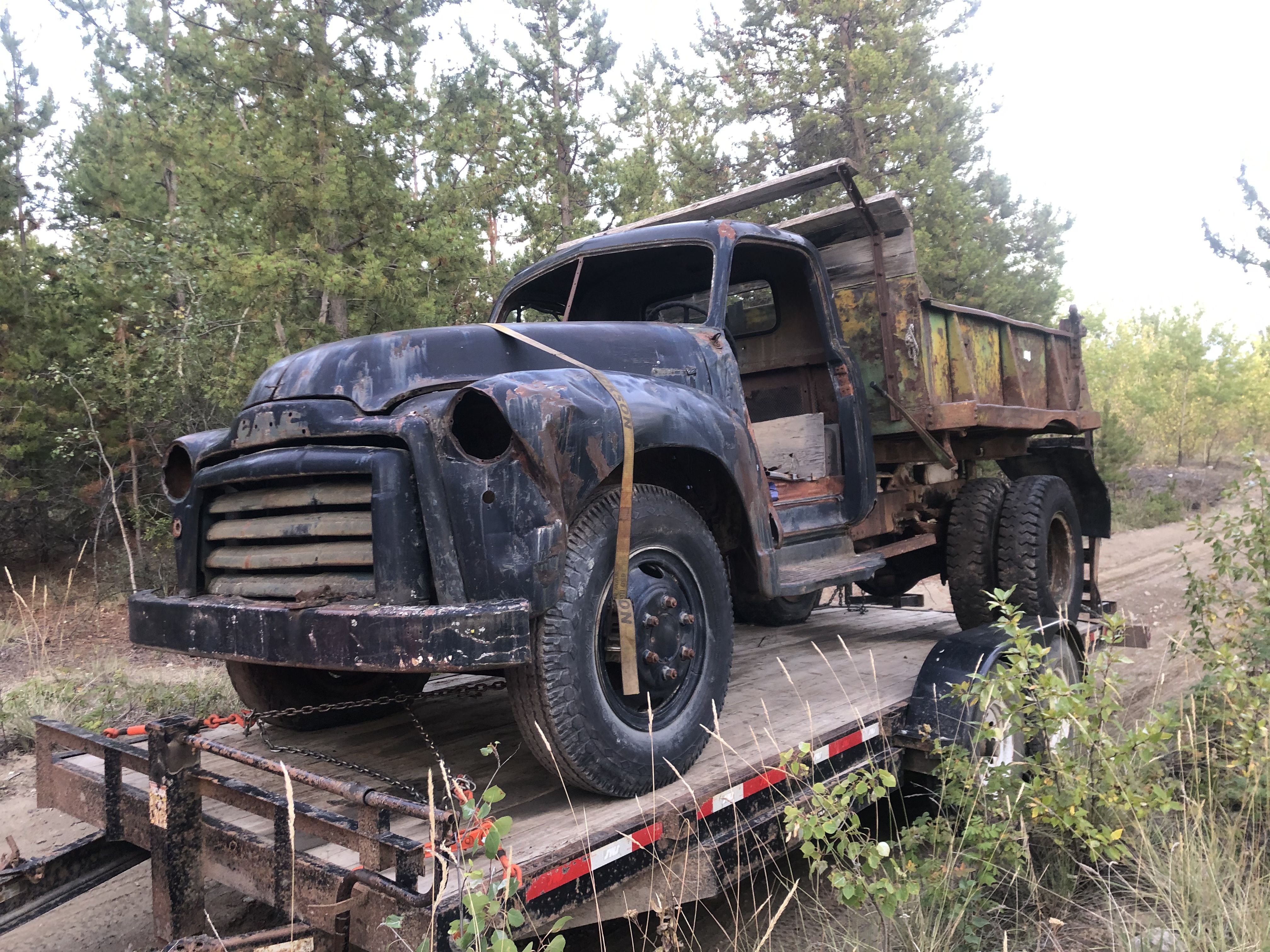
The trail begins as a rough dirt road leading to a few camps and a mine. The Terra Magnetta Mine was operated for several years by an enthusiastic and optimistic miner who believes he has located the source of the gold found in the surrounding sediments. He is currently driving a shaft toward this location. I met him on my way while he was bringing in more equipment.
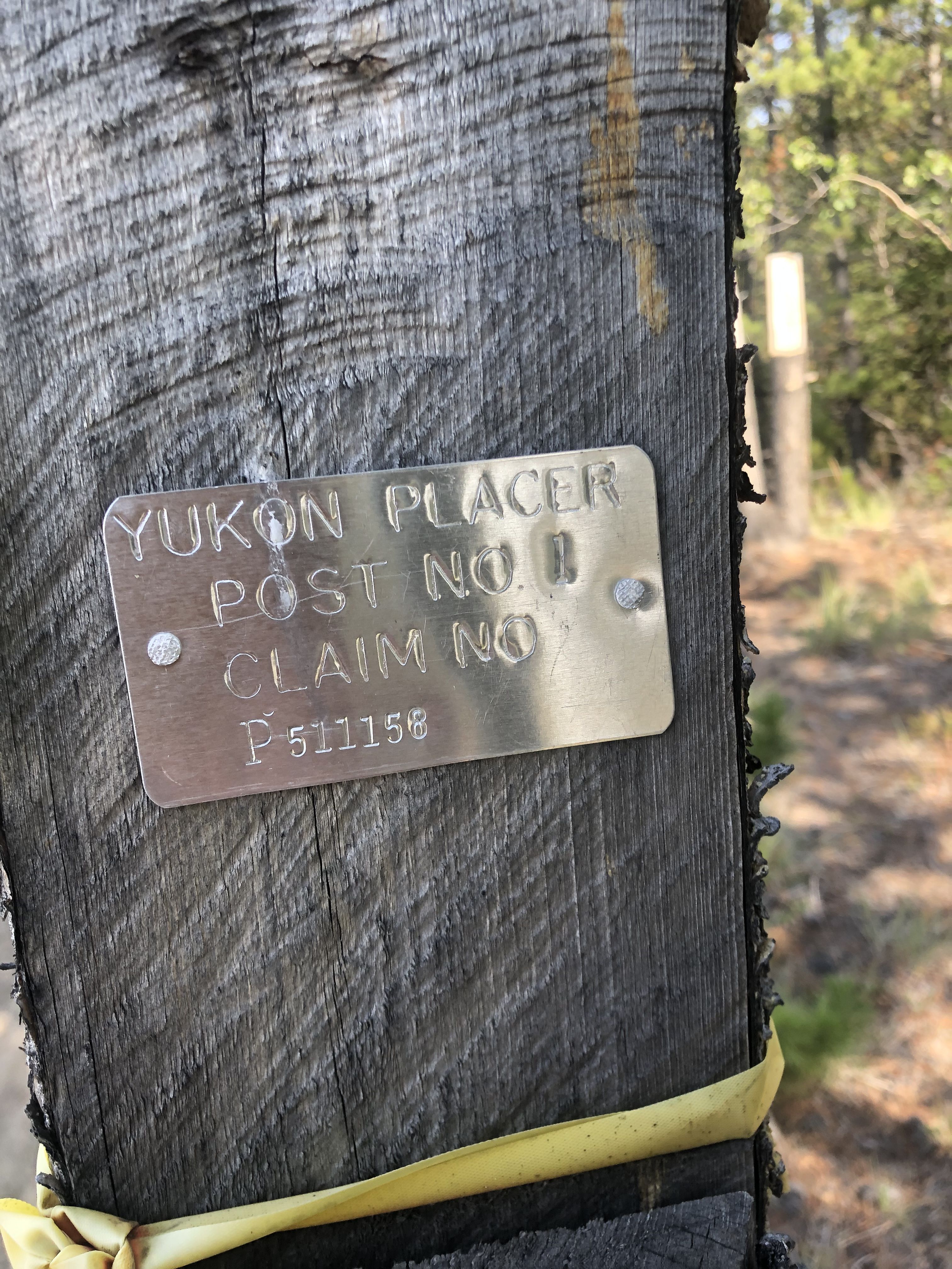
The way up to the peak passes many claim markers.
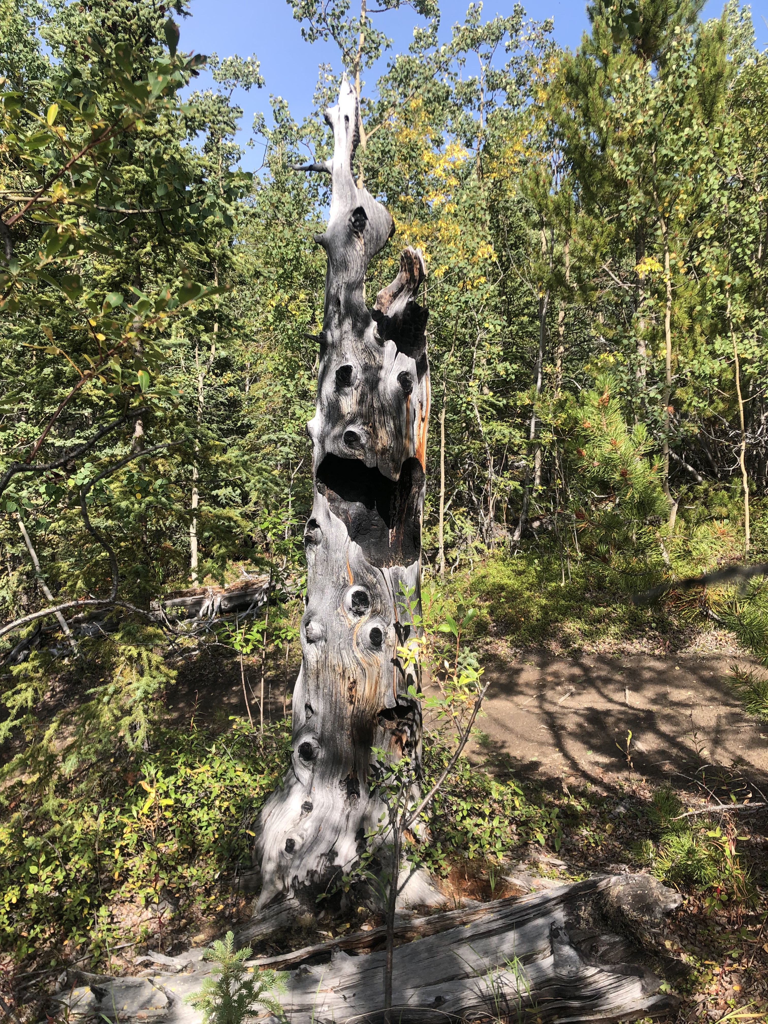
Leftover tree stumps from old forest fires act as ghostly markers.
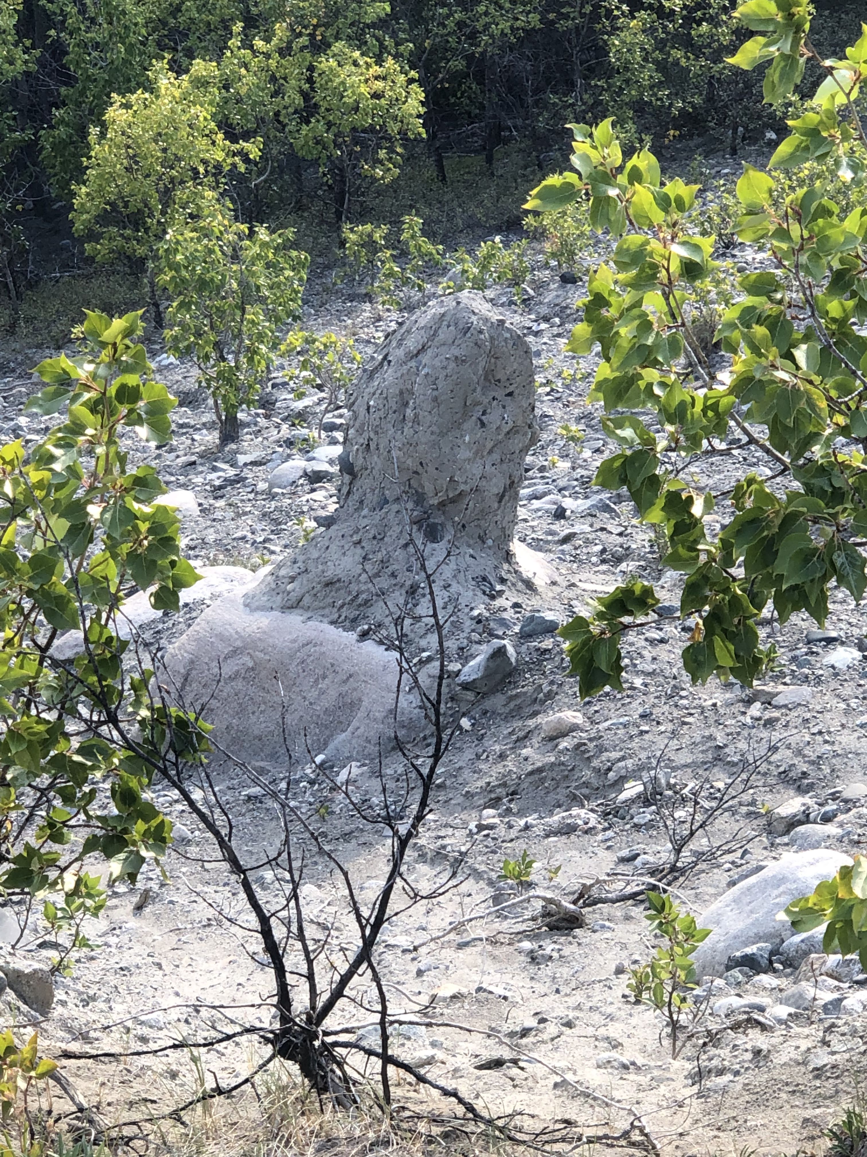
Water erosion can also create interesting forms.
After passing through the open forest, views of the alpine meadows, Ibex Valley, and Lake Laberge to the northeast open up.
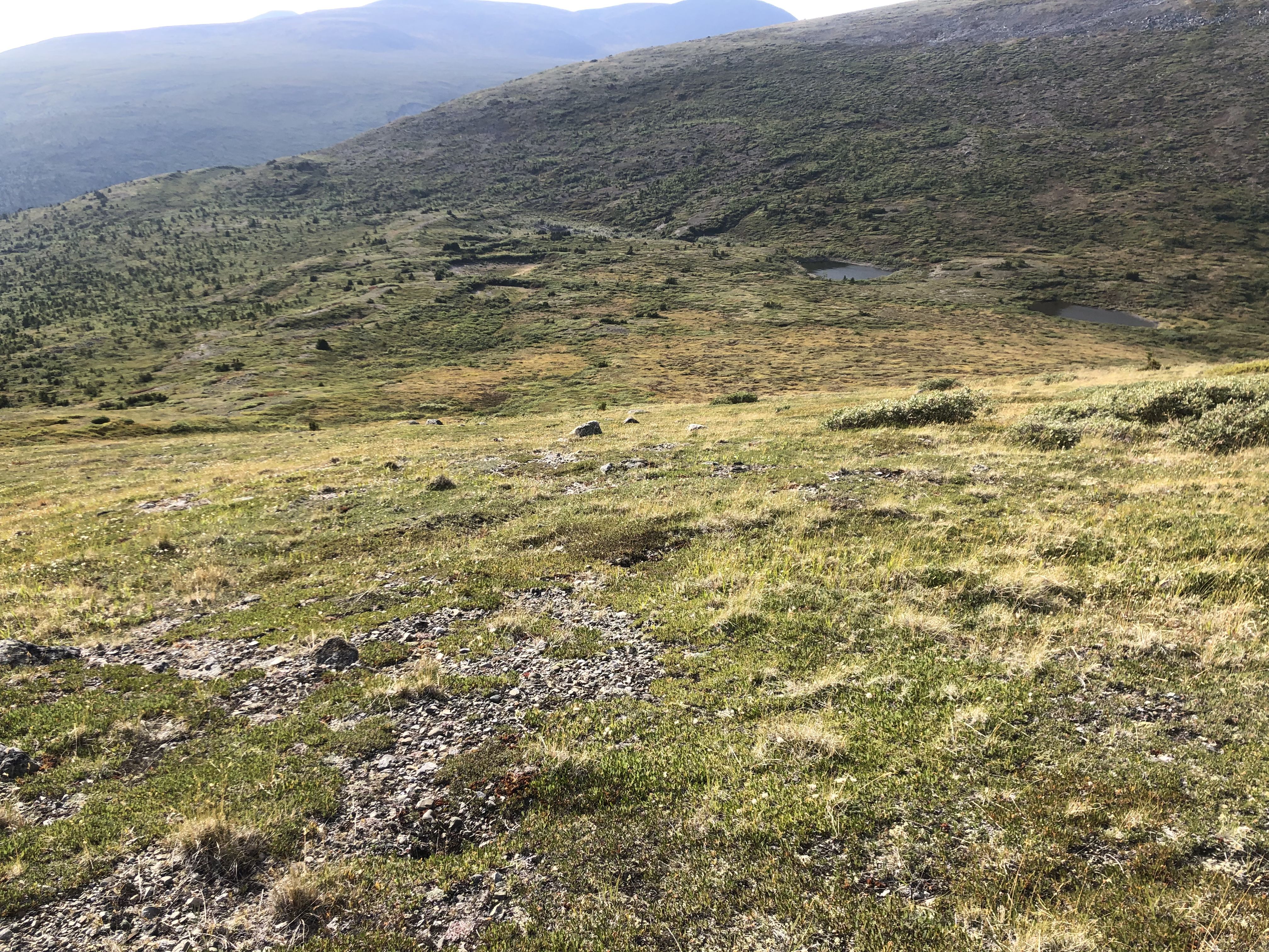
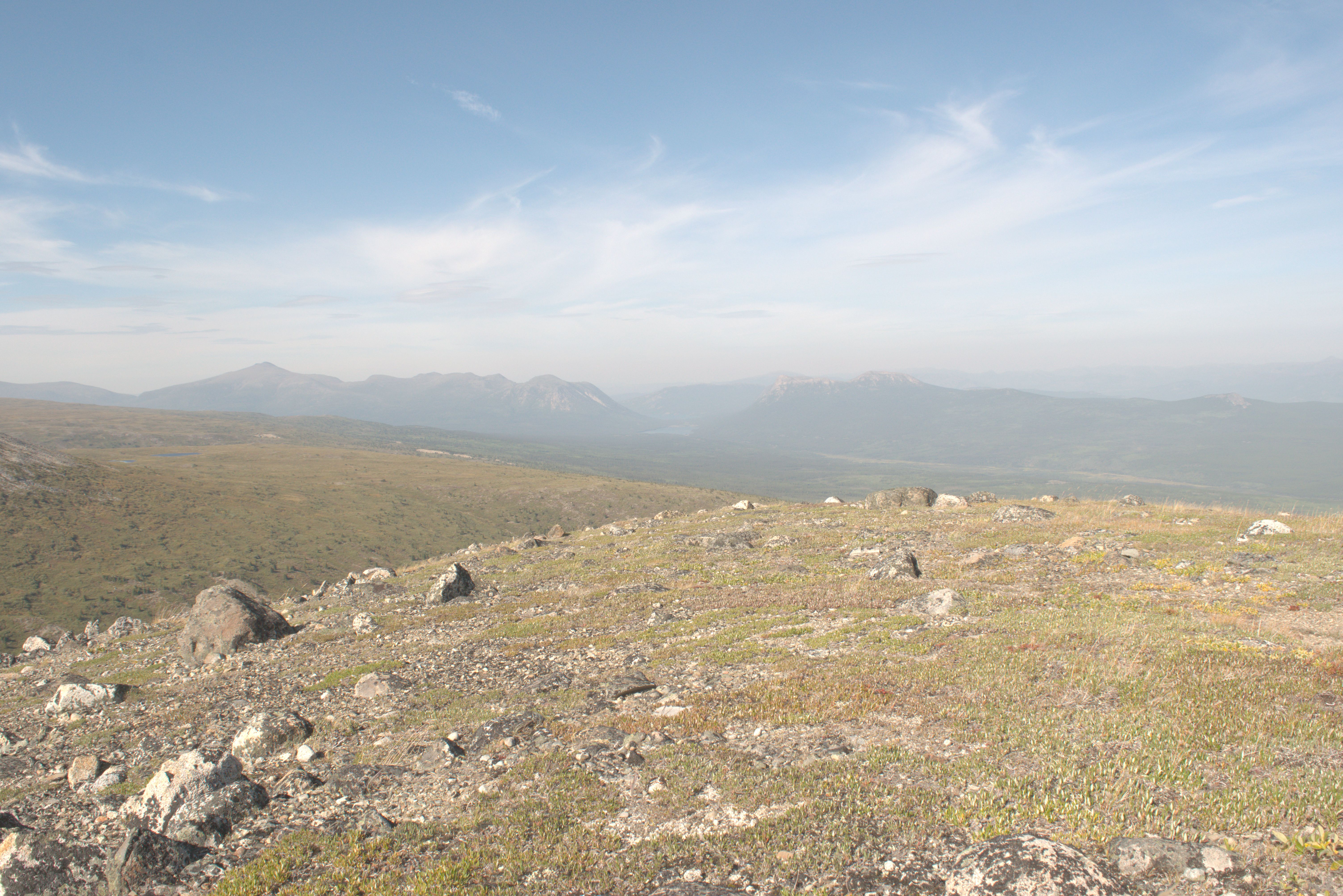
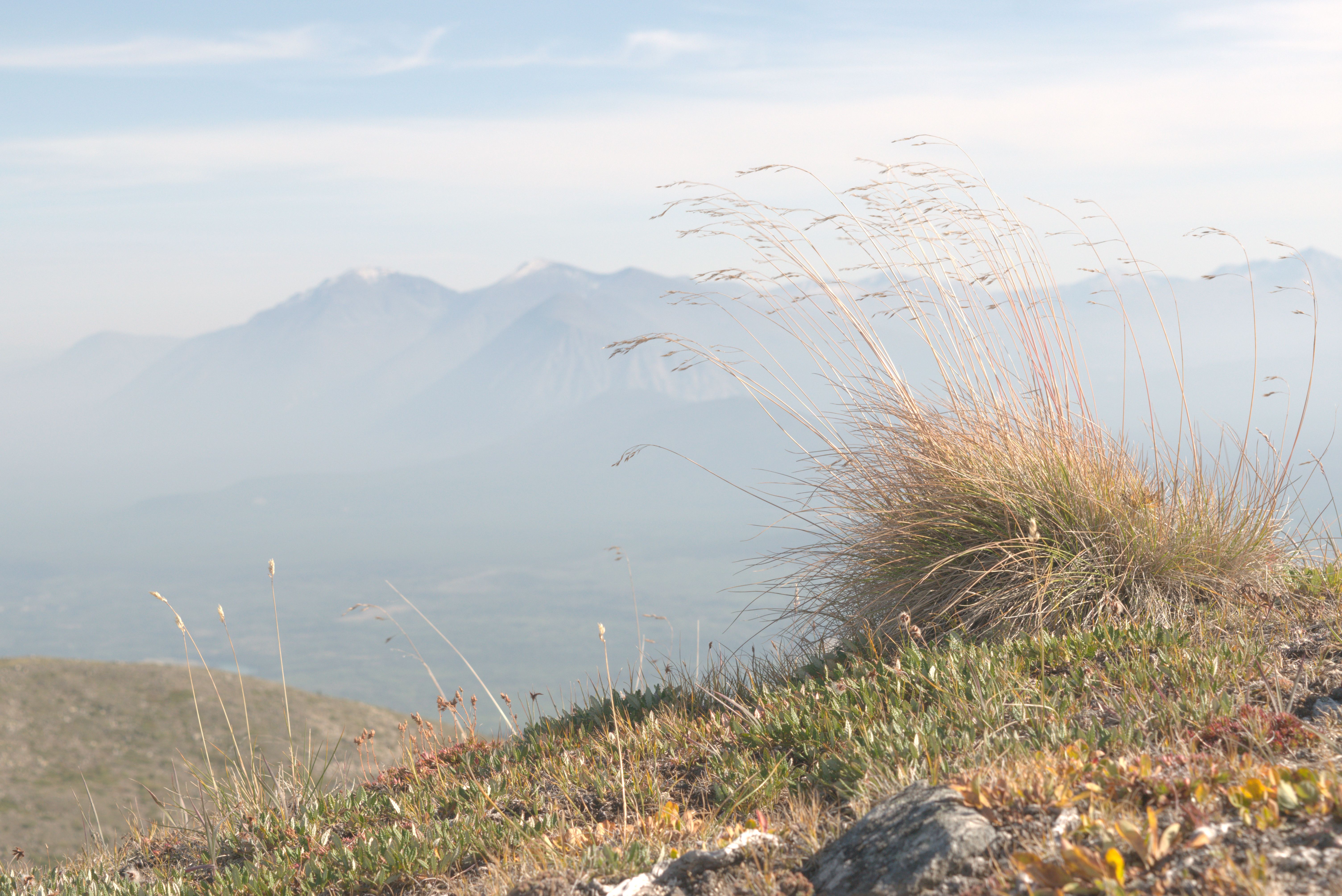
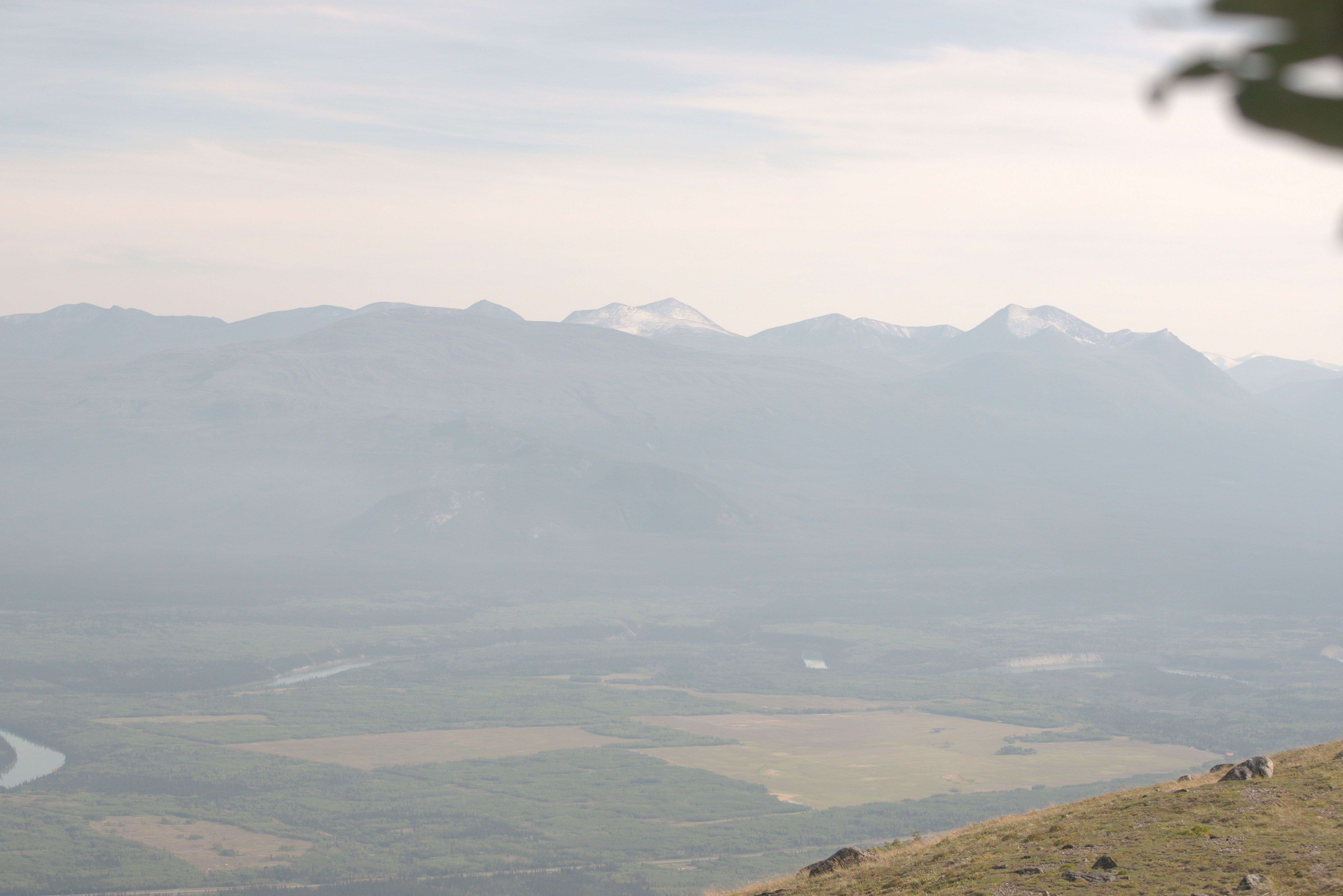
Overnight, I camped beside the old gravel pit at the Stoney Creek trailhead.
The trailhead is on a side road near a First Nation spiritual center. The trail begins through a dense forest but soon opens up to views of the Ibex Valley. After a rainy morning, everything is soaked, turning into a wet drizzle.
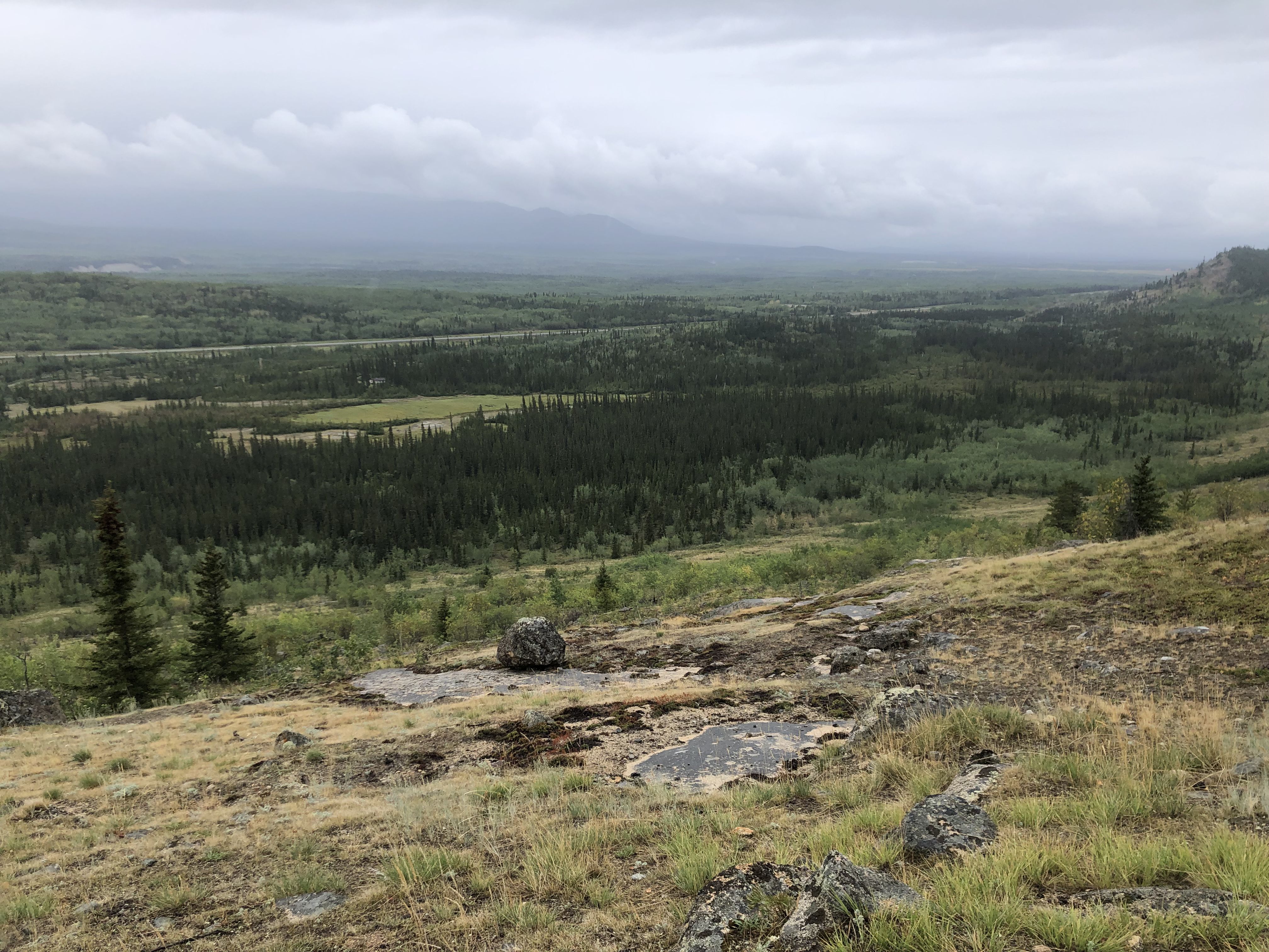
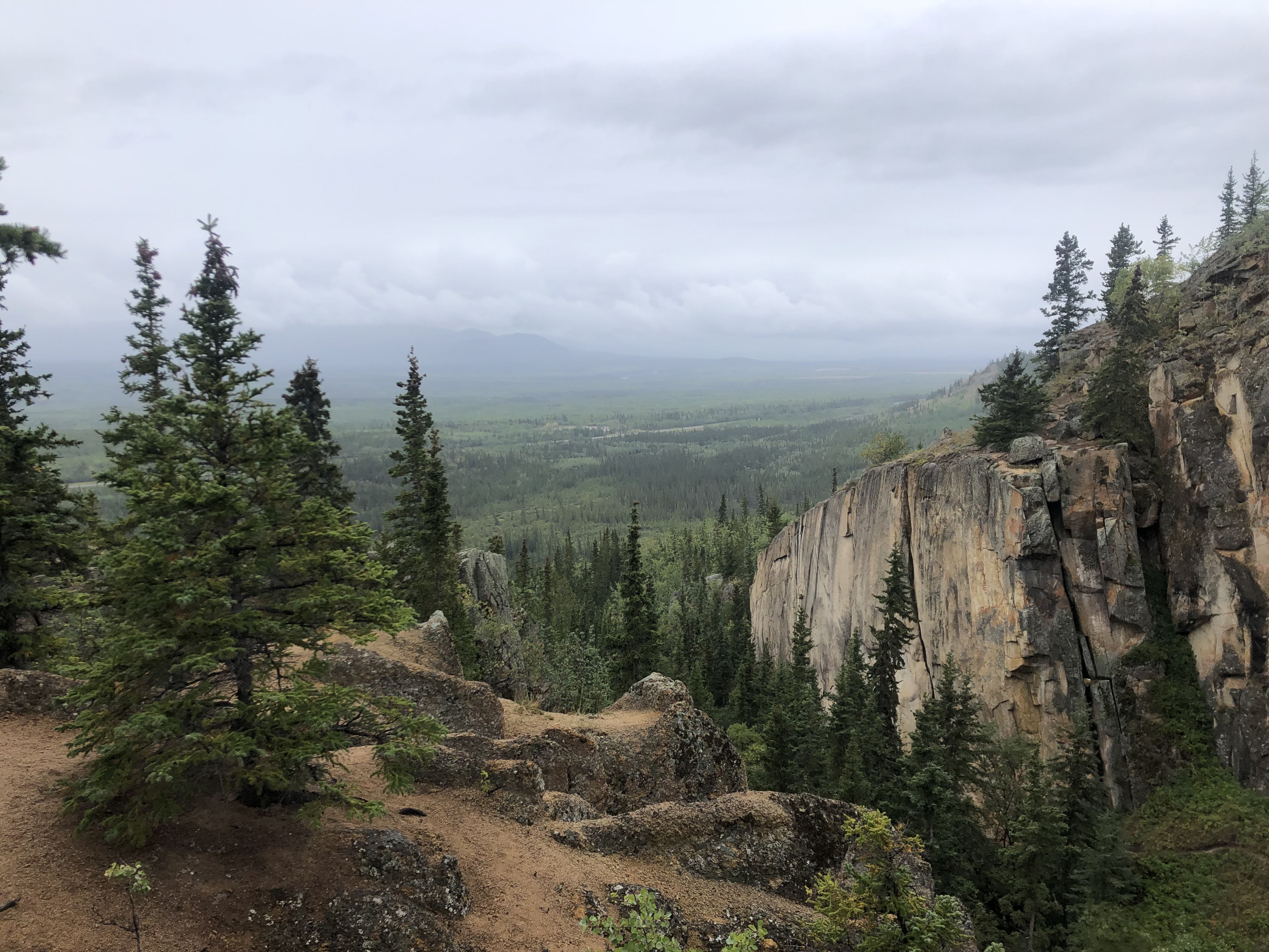
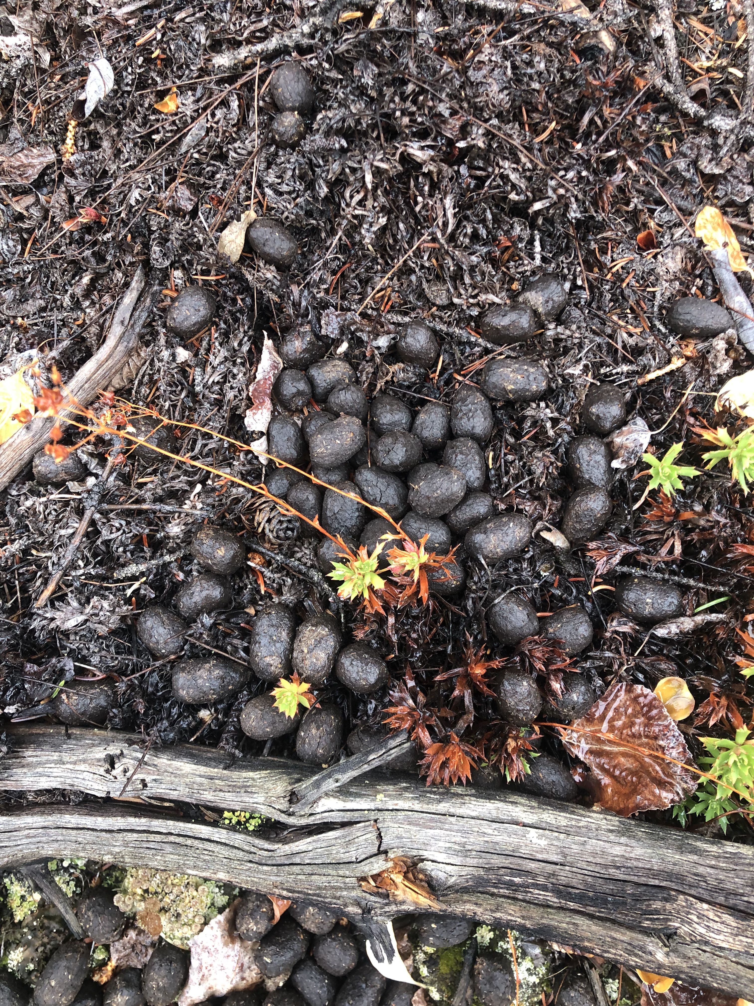
While overlooking the canyon, I met a local musher guiding two guests. He didn’t know the history of this place or why it was called Spirit Canyon. On the hilltop beside the canyon, the ground was covered in elk droppings. Perhaps their presence is connected to the name of this place?
Returning from the walk, I turned off the Alaska Highway onto the Kusawa Lake Road, which follows the Takhini River and ends at Kusawa Lake. For the night, I stayed at Mendenhall Landing beside the Takhini River.
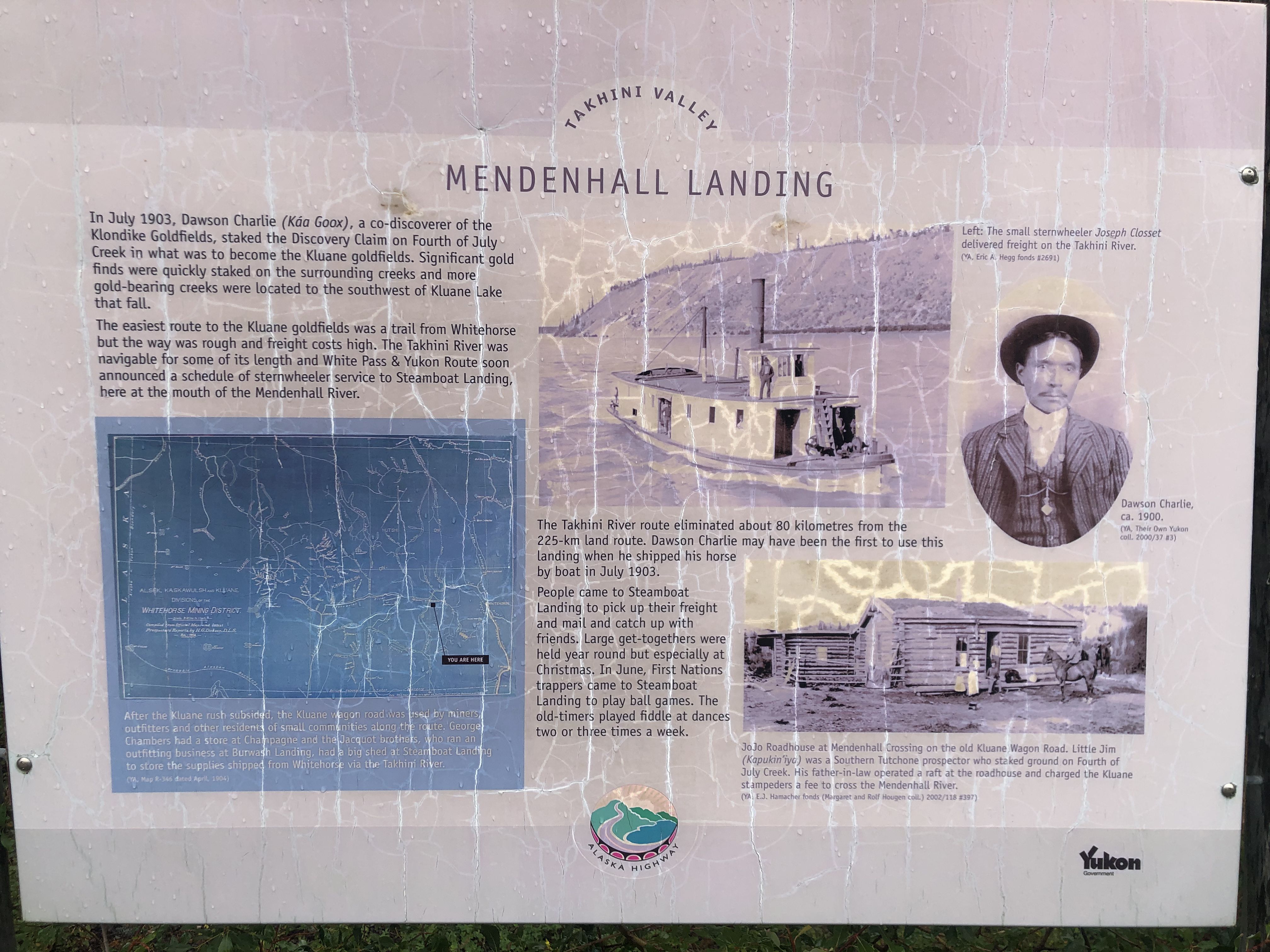
In July 1903, Dawson Charlie (Kao Goax), a co-discoverer of the Klondike Goldfields, staked the Discovery Claim on Fourth of July Creek in what would become the Kluane goldfields. The Takhini River became an important transportation route, and Mendenhall Landing was a stop for a sternwheeler.
The next morning, I continued down the Kusawa Lake Road, past the Kusawa Lake Campgrounds to the Kujo Ridge trailhead. Upon arriving, I discovered that I hadn’t properly closed the compartment where we stored our boots, and one had fallen out. I immediately retraced my steps and was lucky to find it in the middle of the dirt road after just 15 minutes. What a relief!
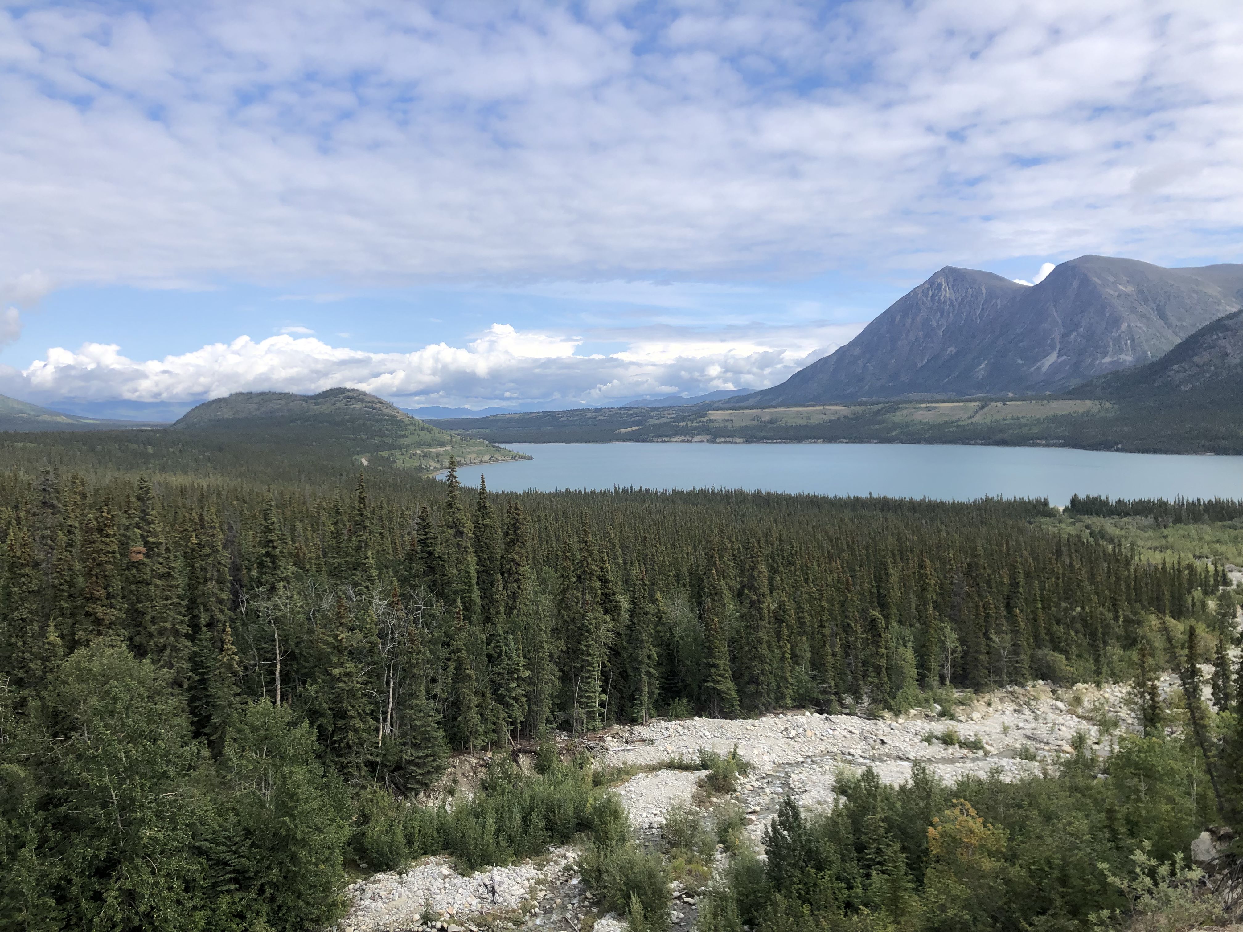
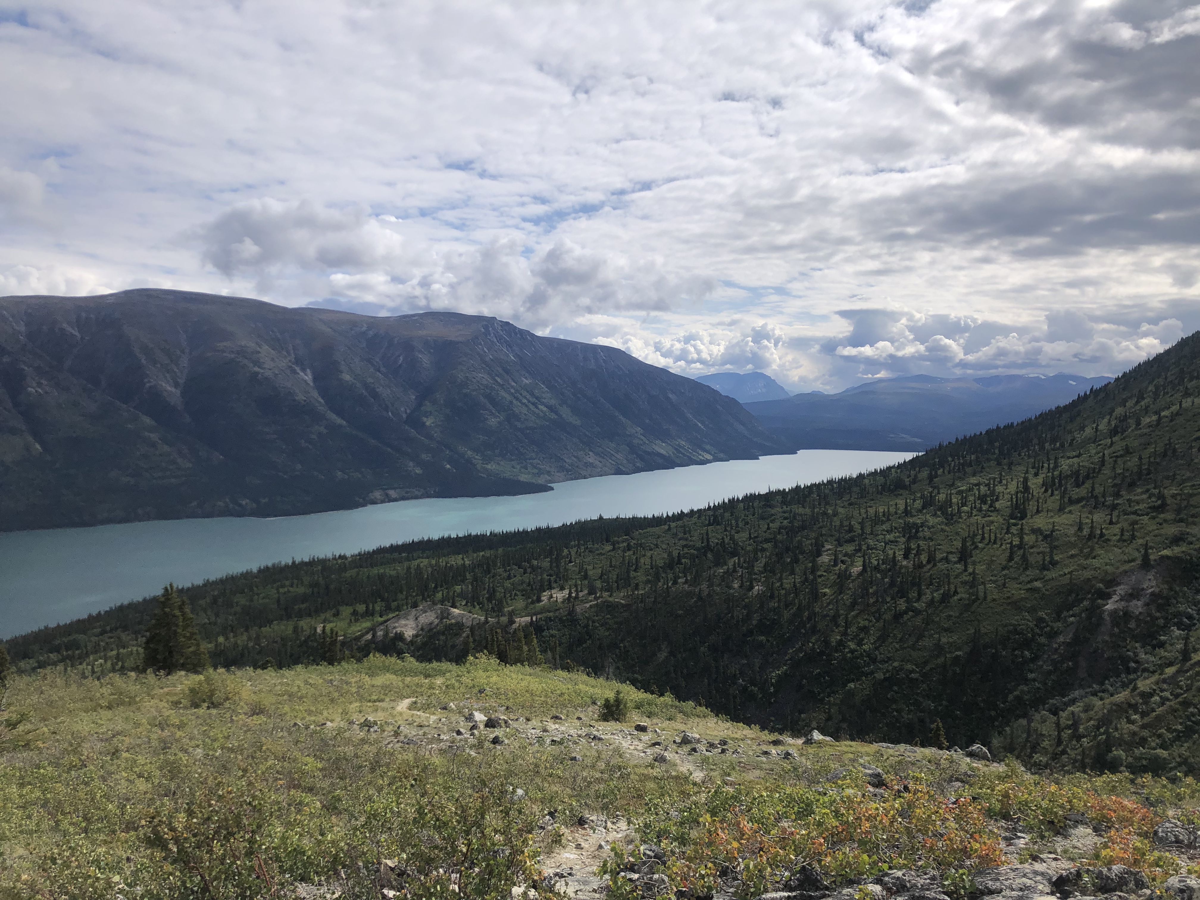
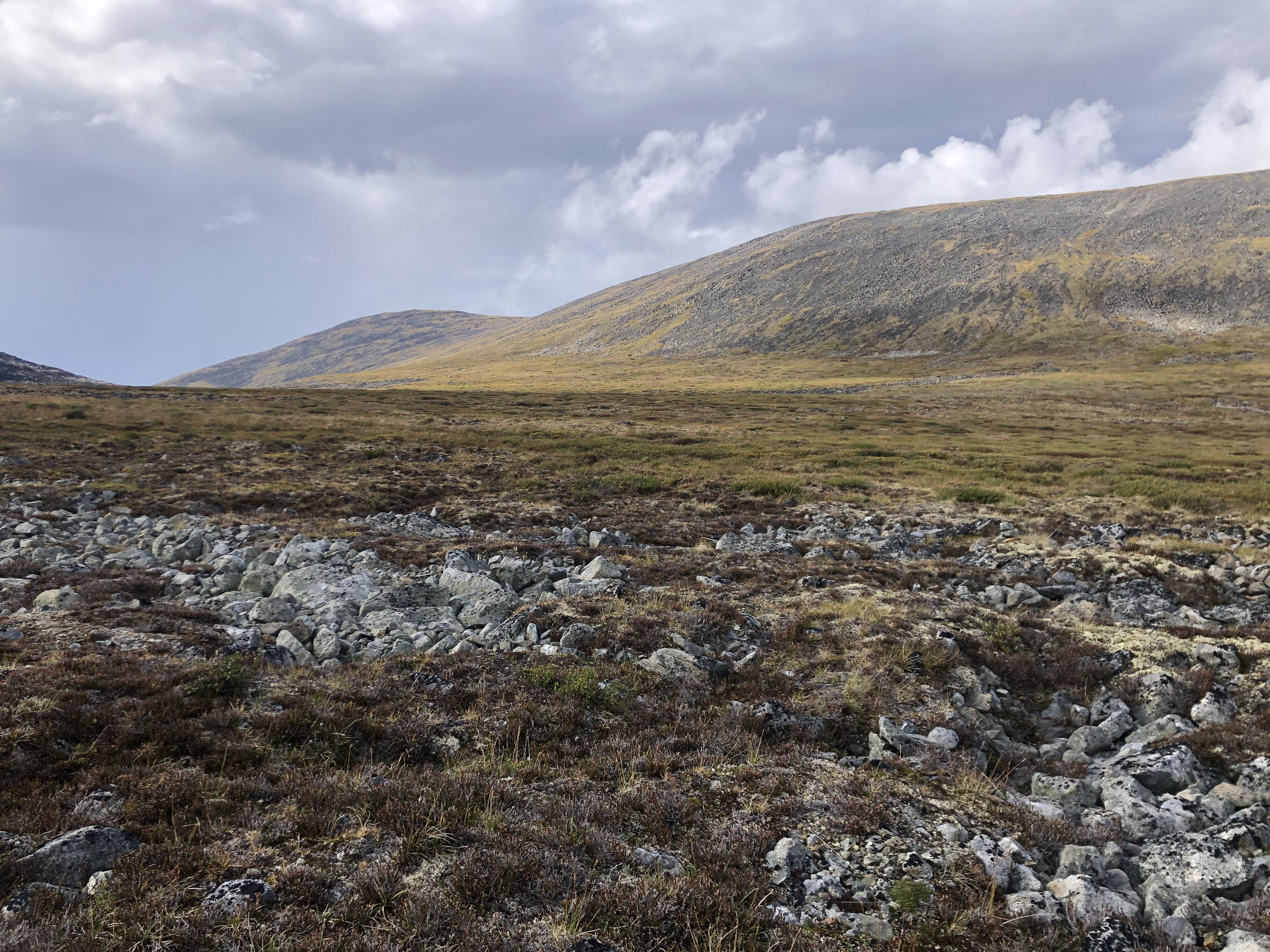
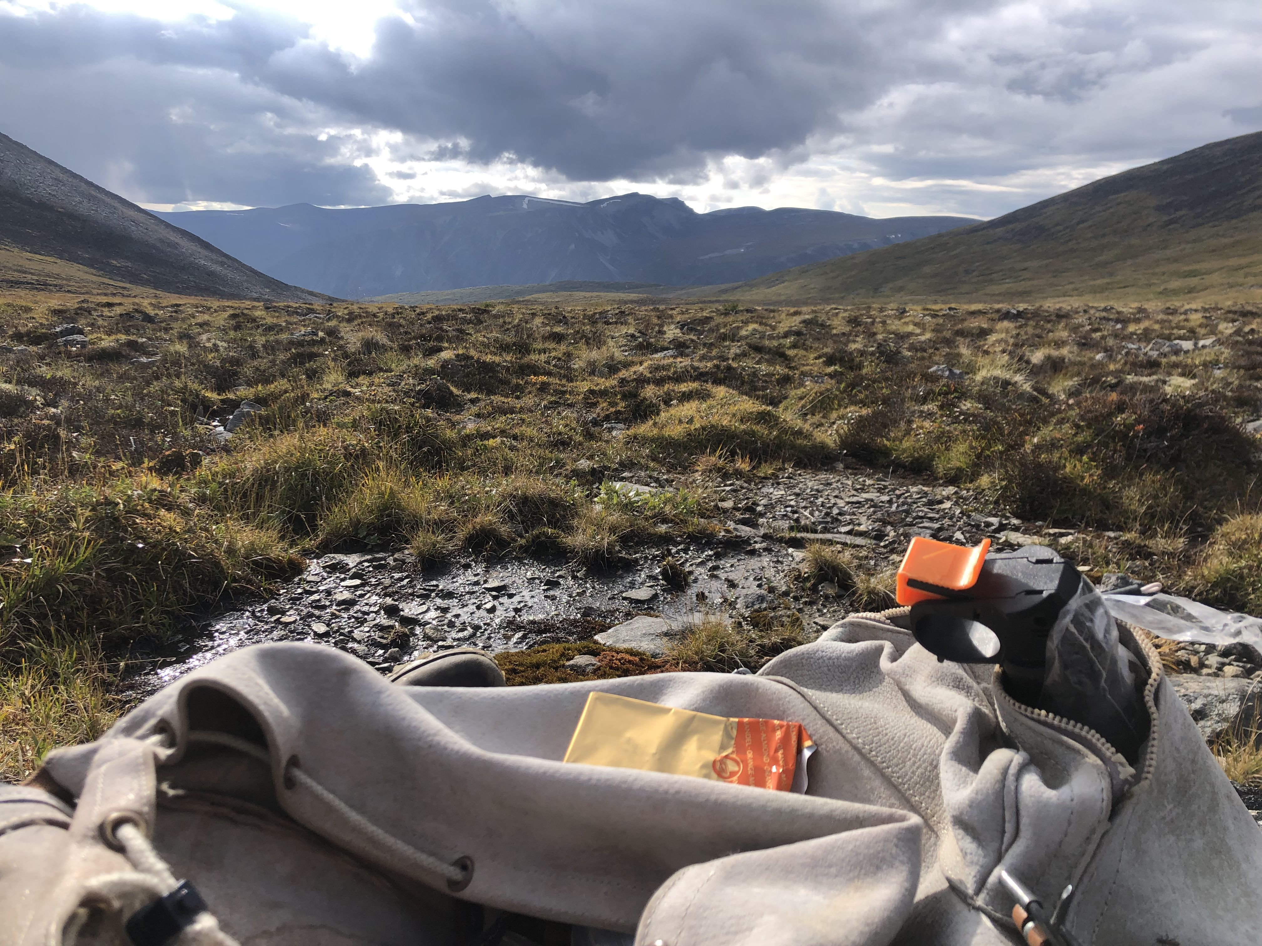
While resting on the saddle, I watched as a helicopter arrived to pick up two hikers or explorers who had descended from the southern boundary of the saddle. The scene added an unexpected touch of adventure to an already dramatic landscape.
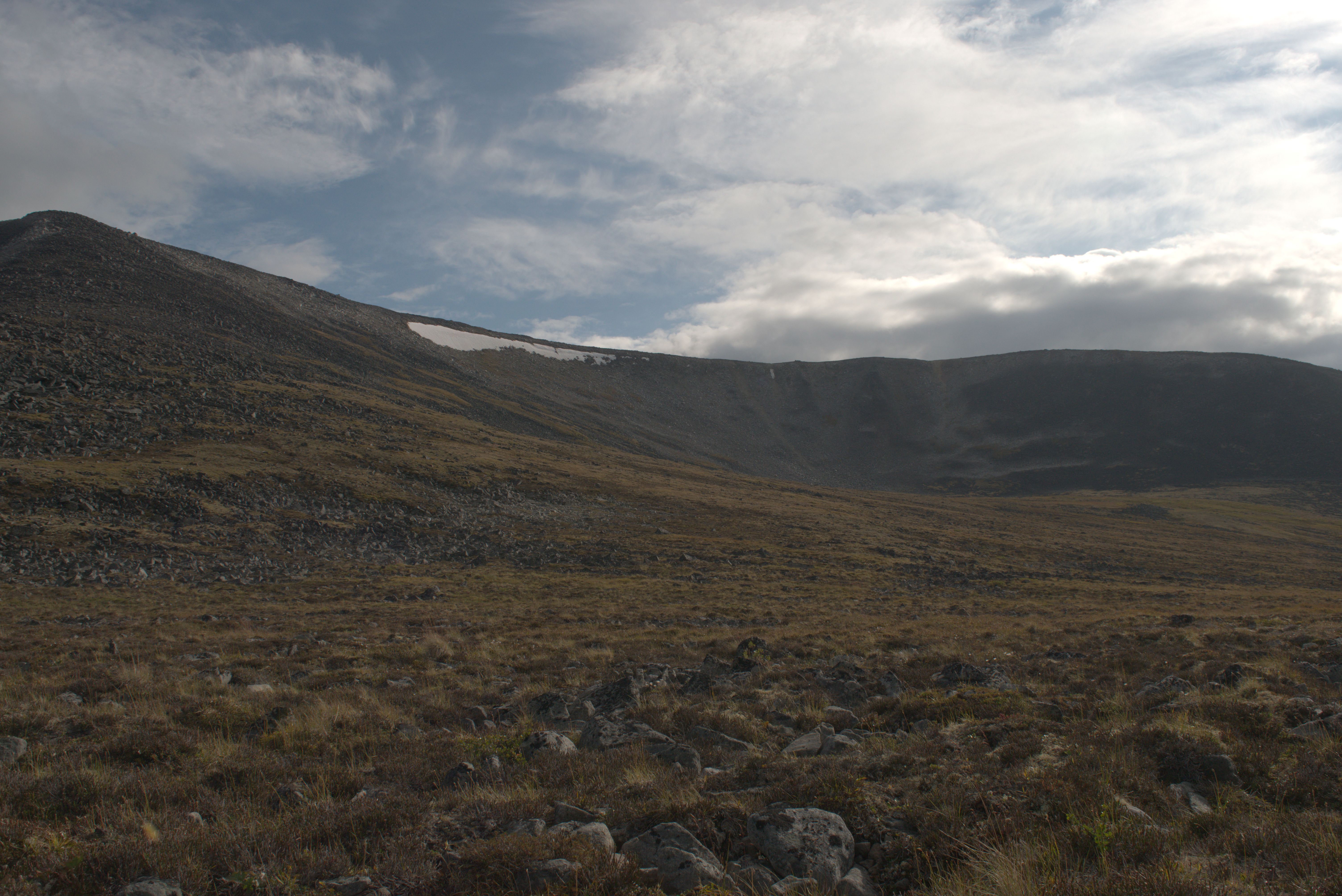
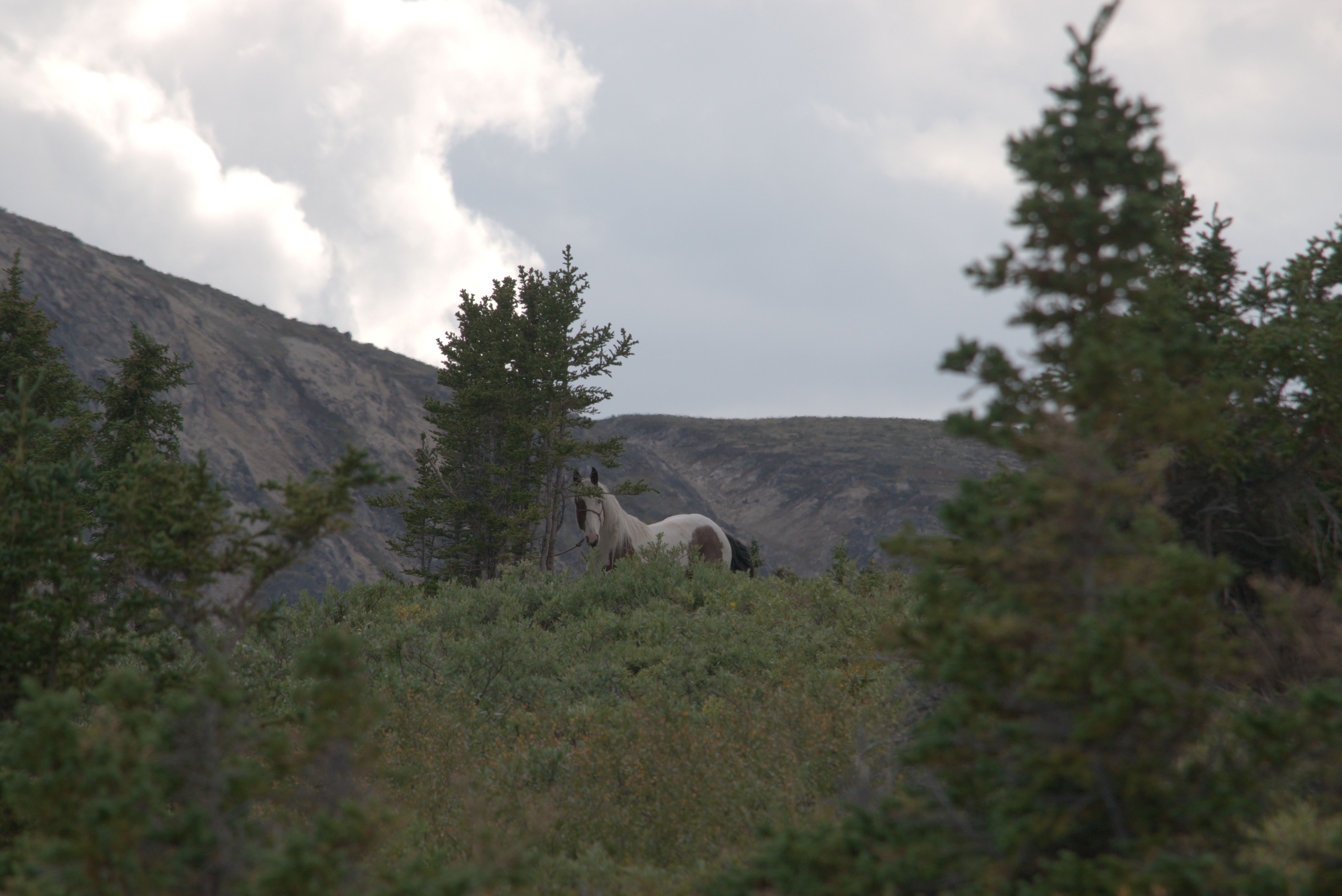
A group arrived on horseback and set up camp.
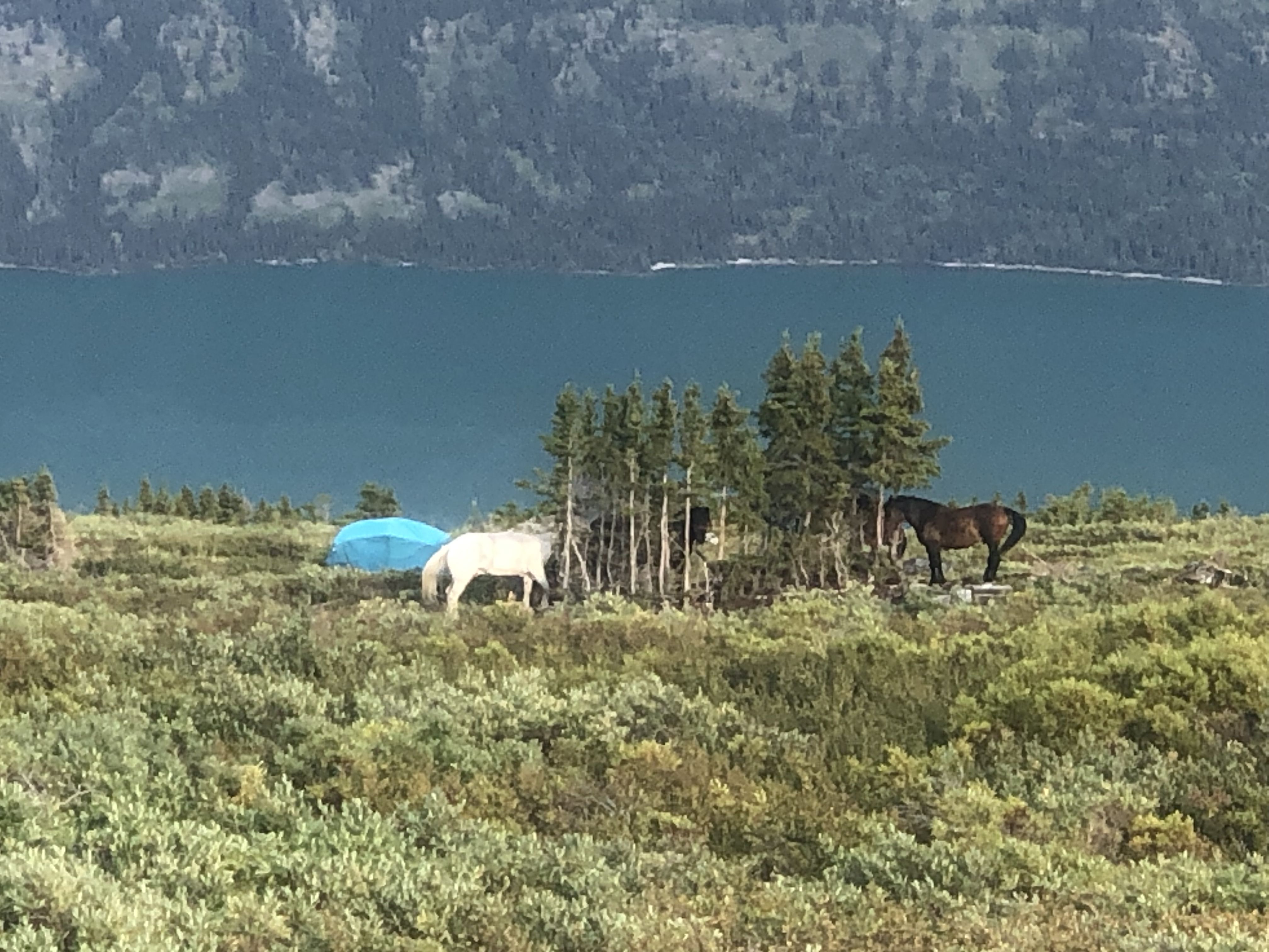
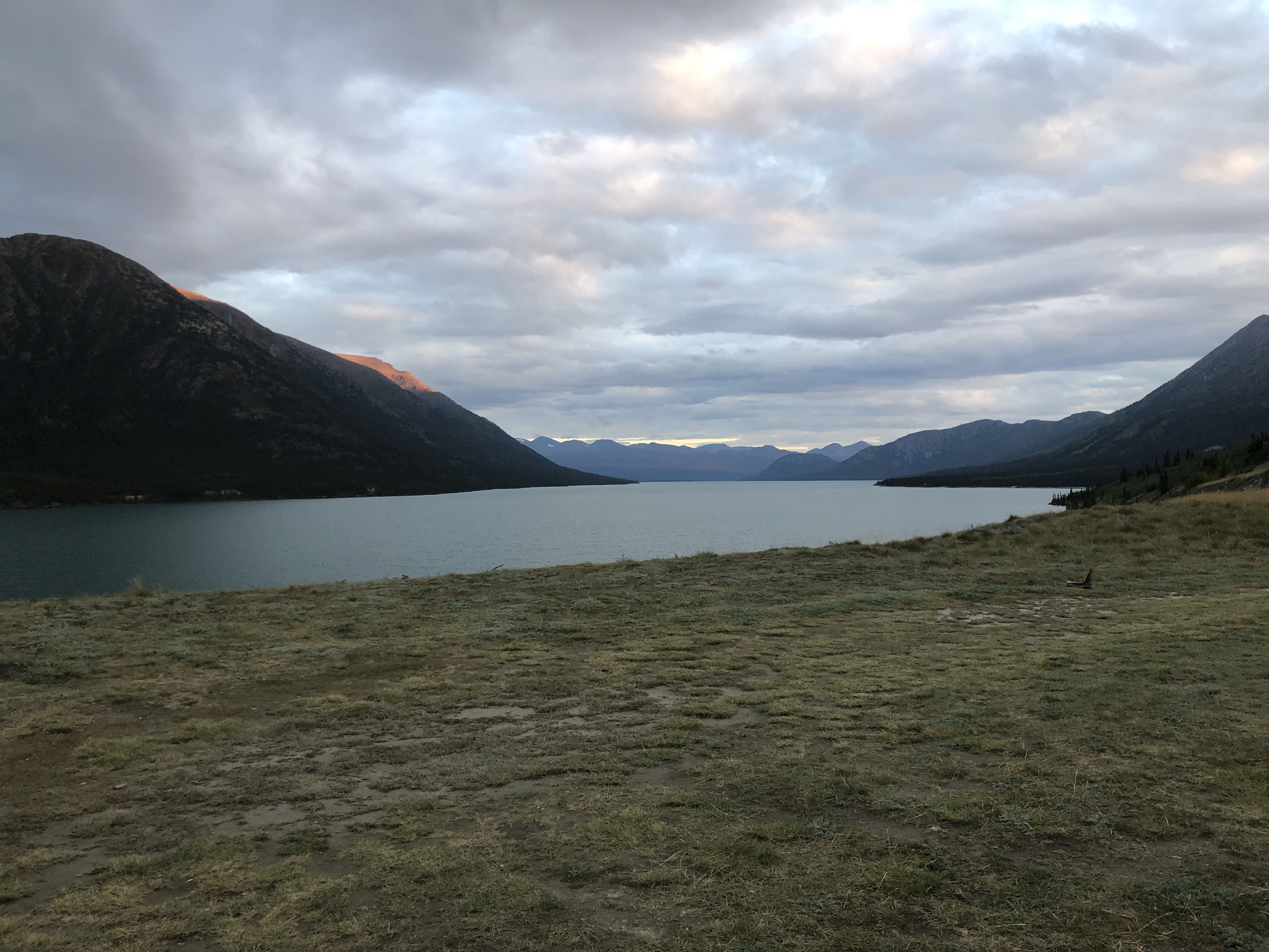
After returning, I camped for the night at the northern end of Kusawa Lake, on a very exposed terrace overlooking the lake.
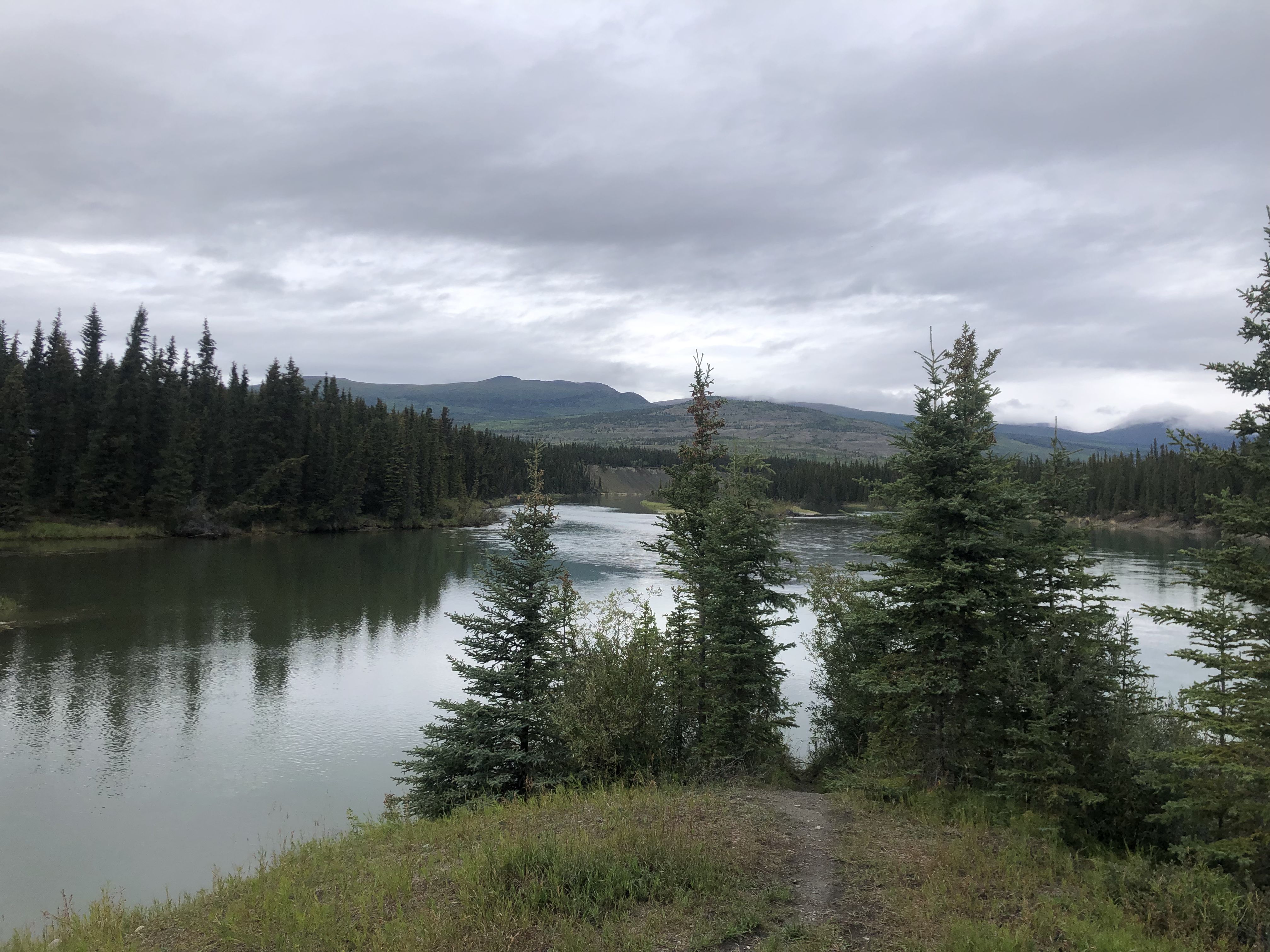
Having heard faint mating calls from the elk, I searched for a spot where I might see them. I followed a small side road leading to a communication tower—a route Susi and I had explored during our first trip to Haines Junction. This time, I continued along the overgrown trail we had previously turned away from, eventually reaching a turnoff that led to the hydro corridor.
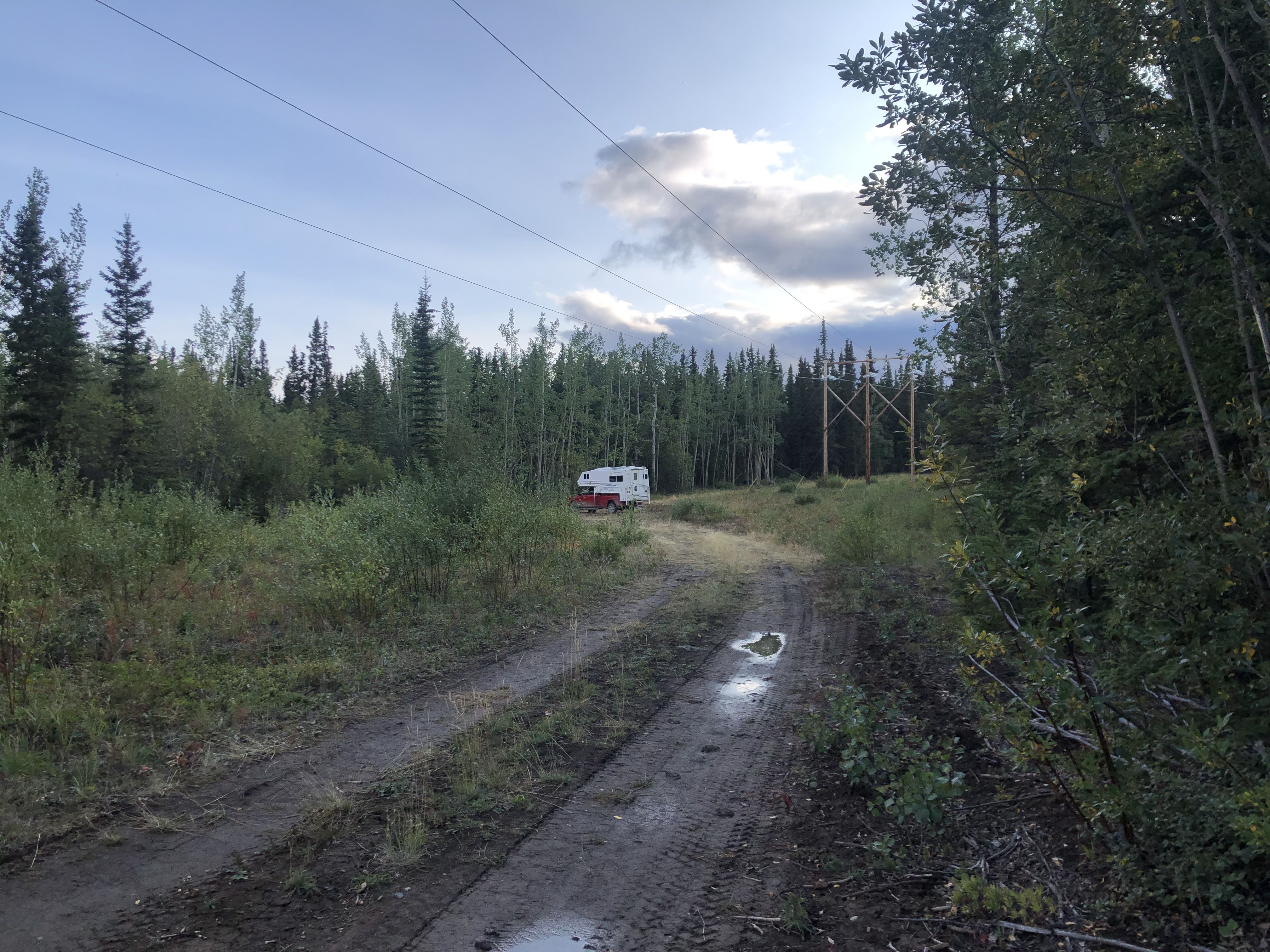
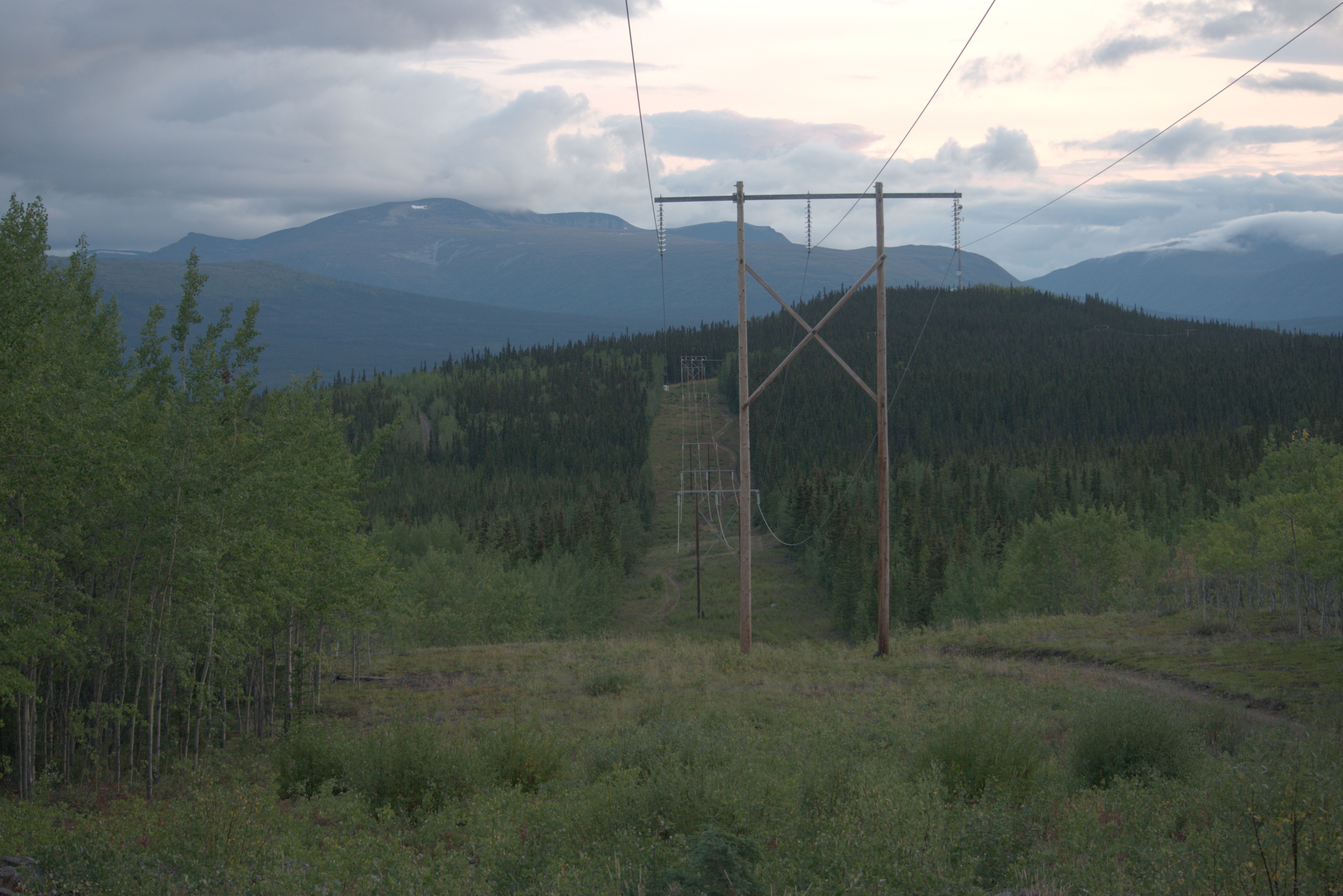
Walking the hydro corridor southward around midday on August 26, I came across a small herd grazing in the corridor. They gradually moved along, and I was relieved that the wind was blowing from their direction toward me, enabling me to follow them quietly and undetected.
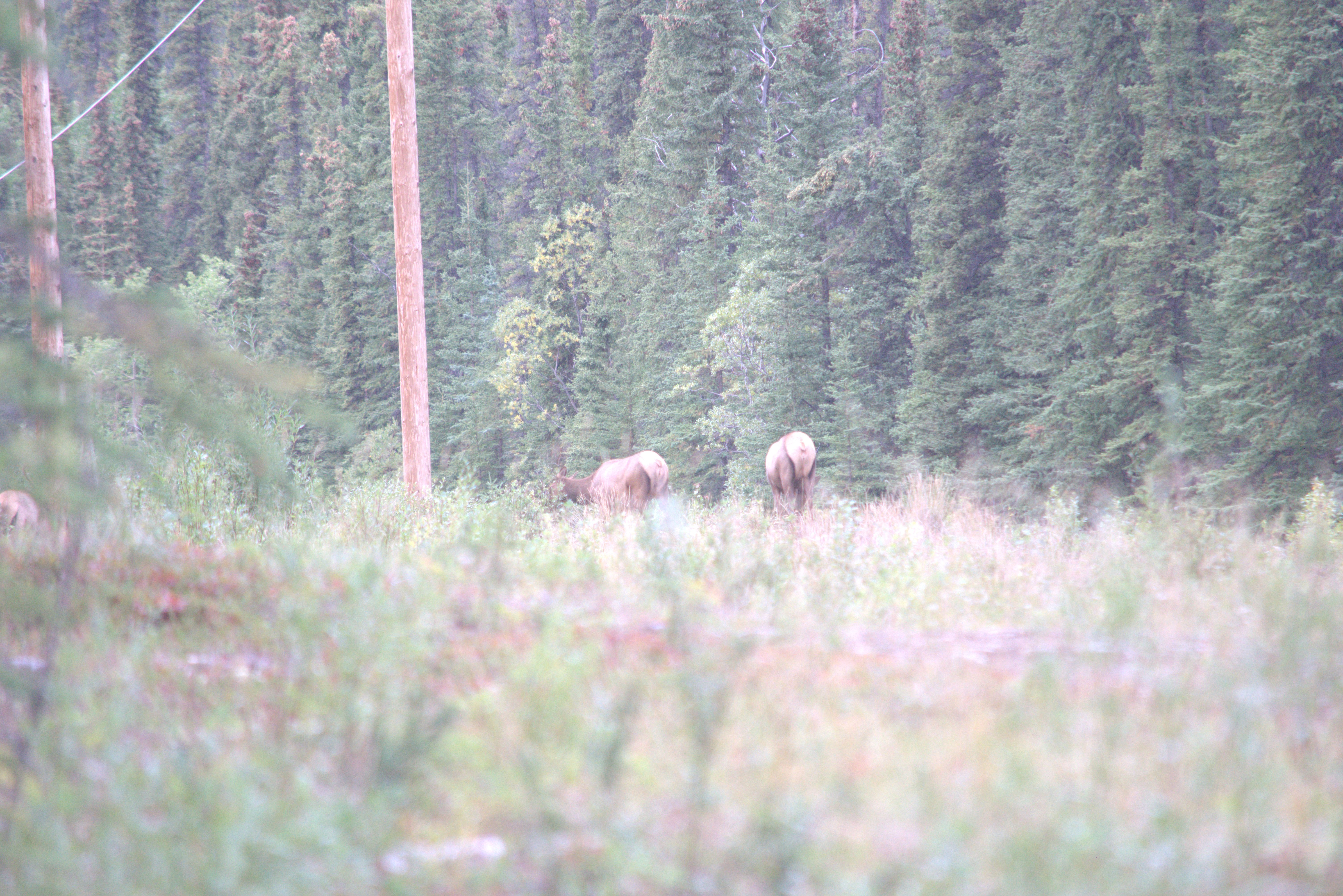
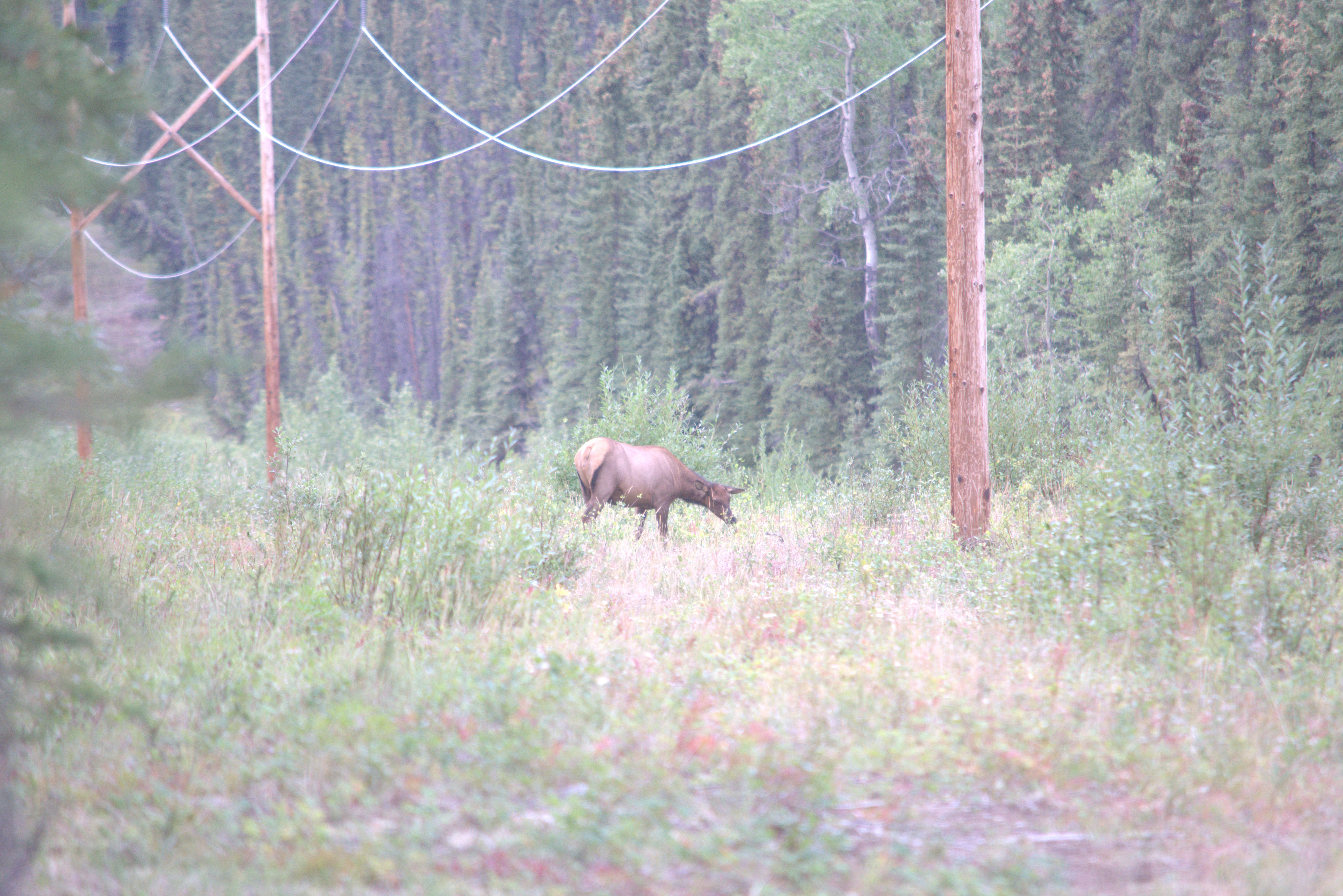
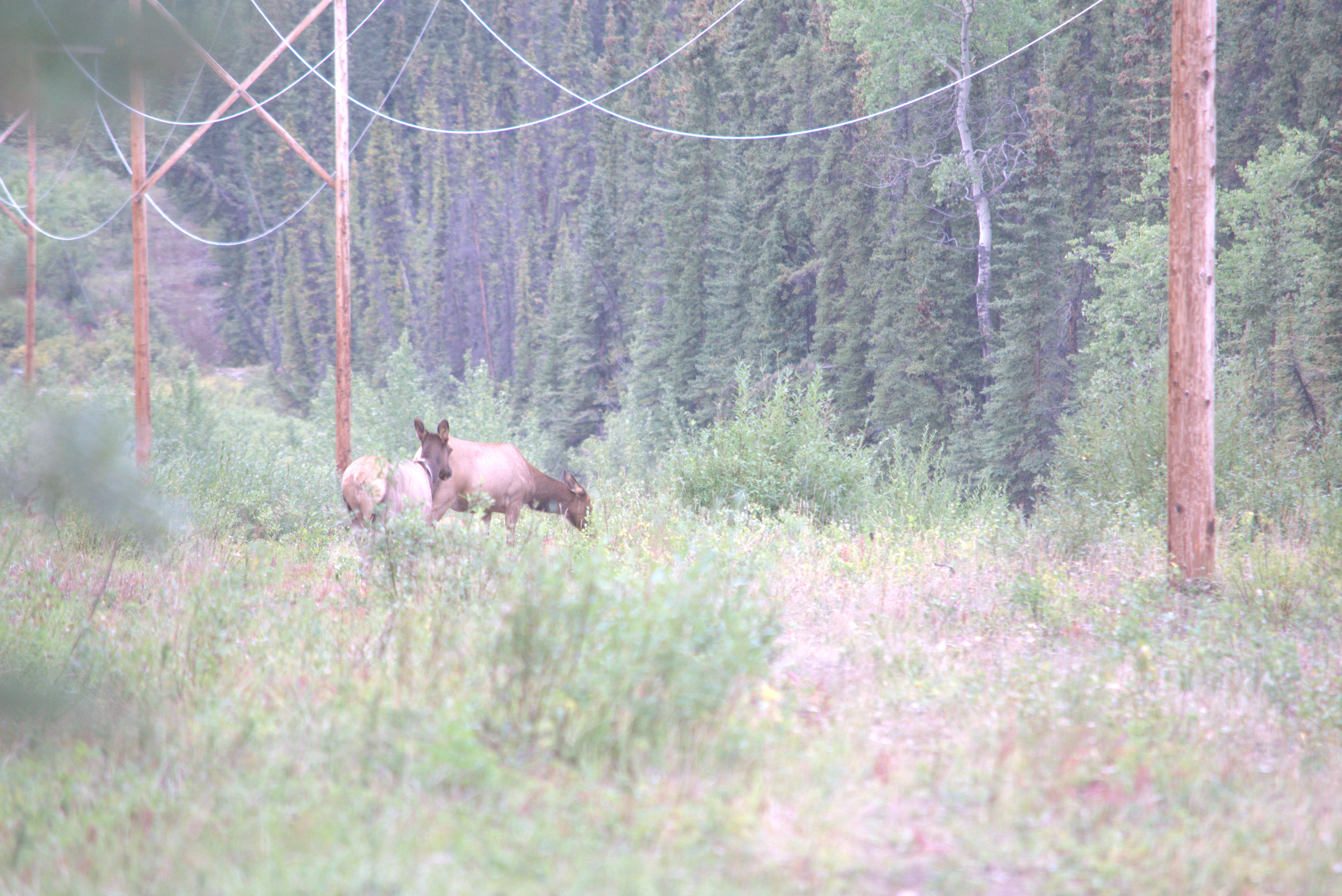
After trailing them for about an hour, the herd entered the forest and settled down for a midday rest. To my surprise, they allowed me to sit nearby, where I quietly read my book until the cold eventually forced me to move. What an exhilarating experience!
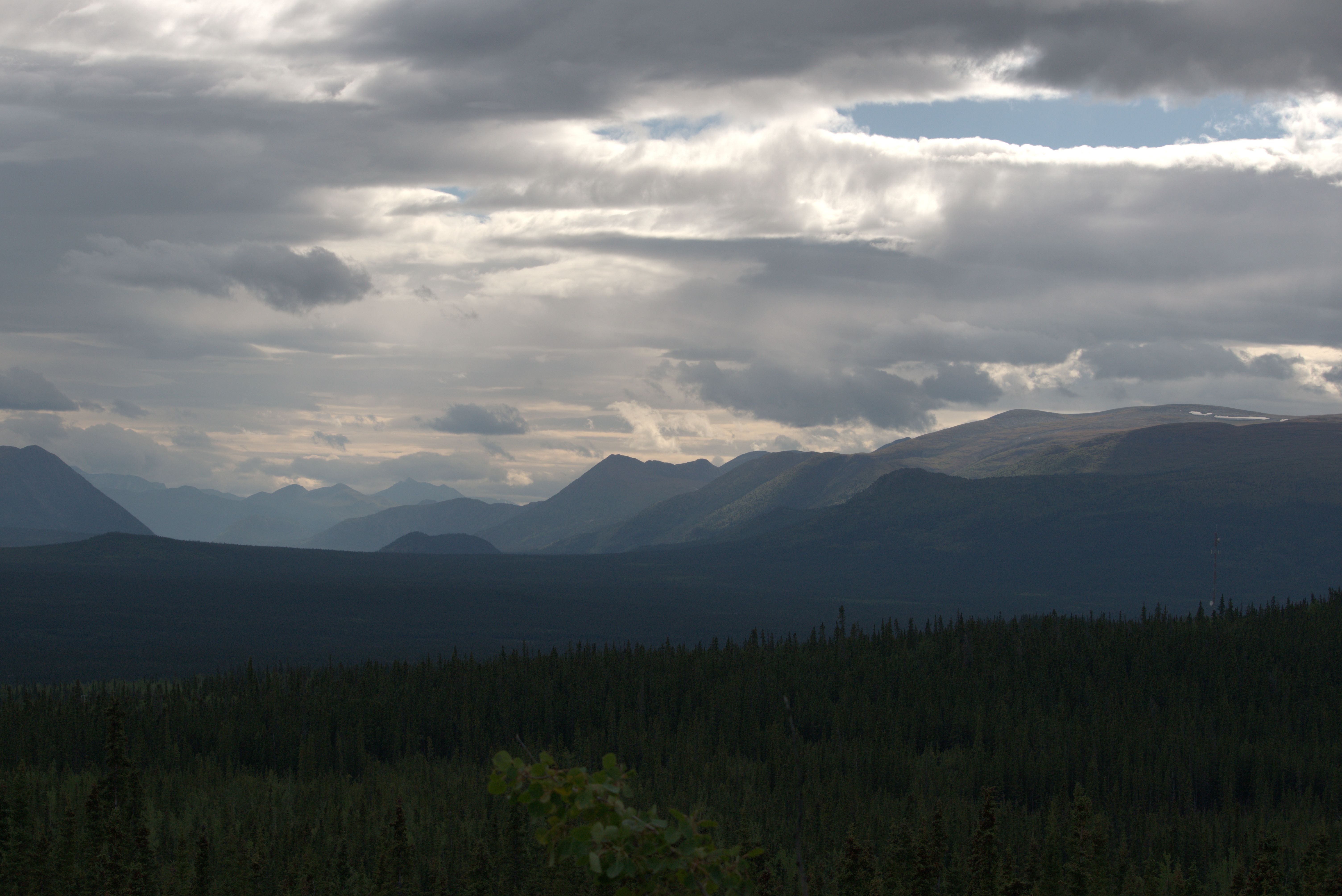
Taking advantage of the excellent internet service provided by the nearby communication tower, I enjoyed having a stable phone and internet connection. The next day, I contacted Northern Lite to determine what could be done about the screws securing the front legs to the camper. These screws had deteriorated over time and no longer securely attached the legs to the camper.
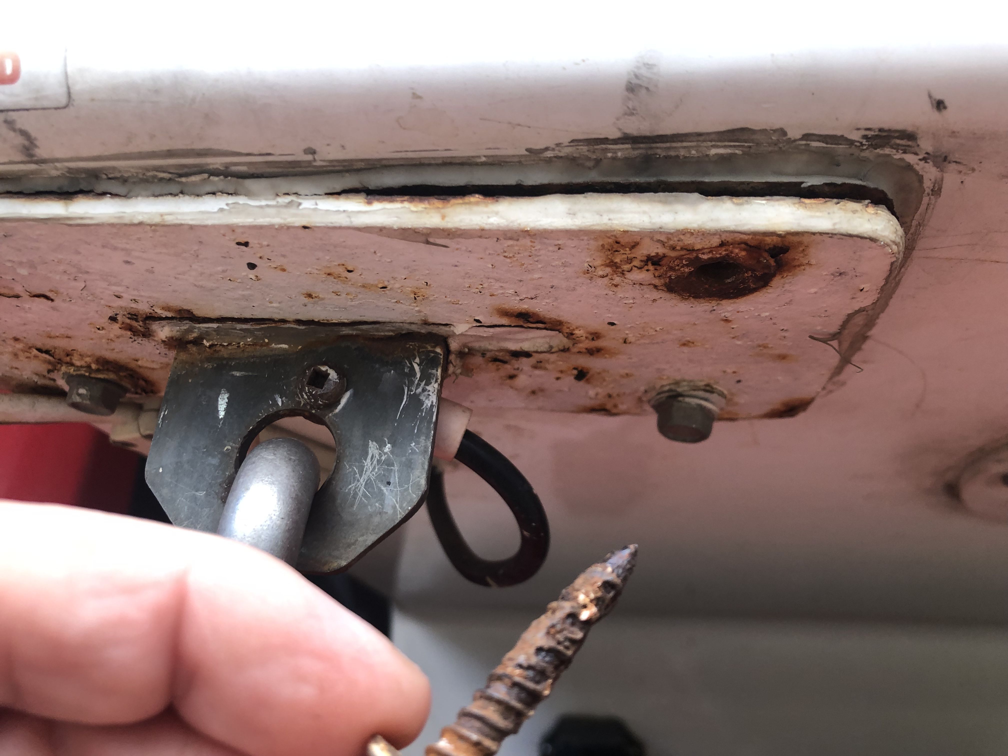
To my surprise, I received a quick response explaining the process for replacing the internal plywood boards into which the screws were fastened, along with an estimate of the time a shop would require for the repair. After another conversation with a truck camper maintenance mechanic in Houston, BC, I successfully completed the repair after returning to Lion’s Head.
While cooking dinner, I suddenly noticed a group of elk had approached from the south, grazing and moving close to the camper.
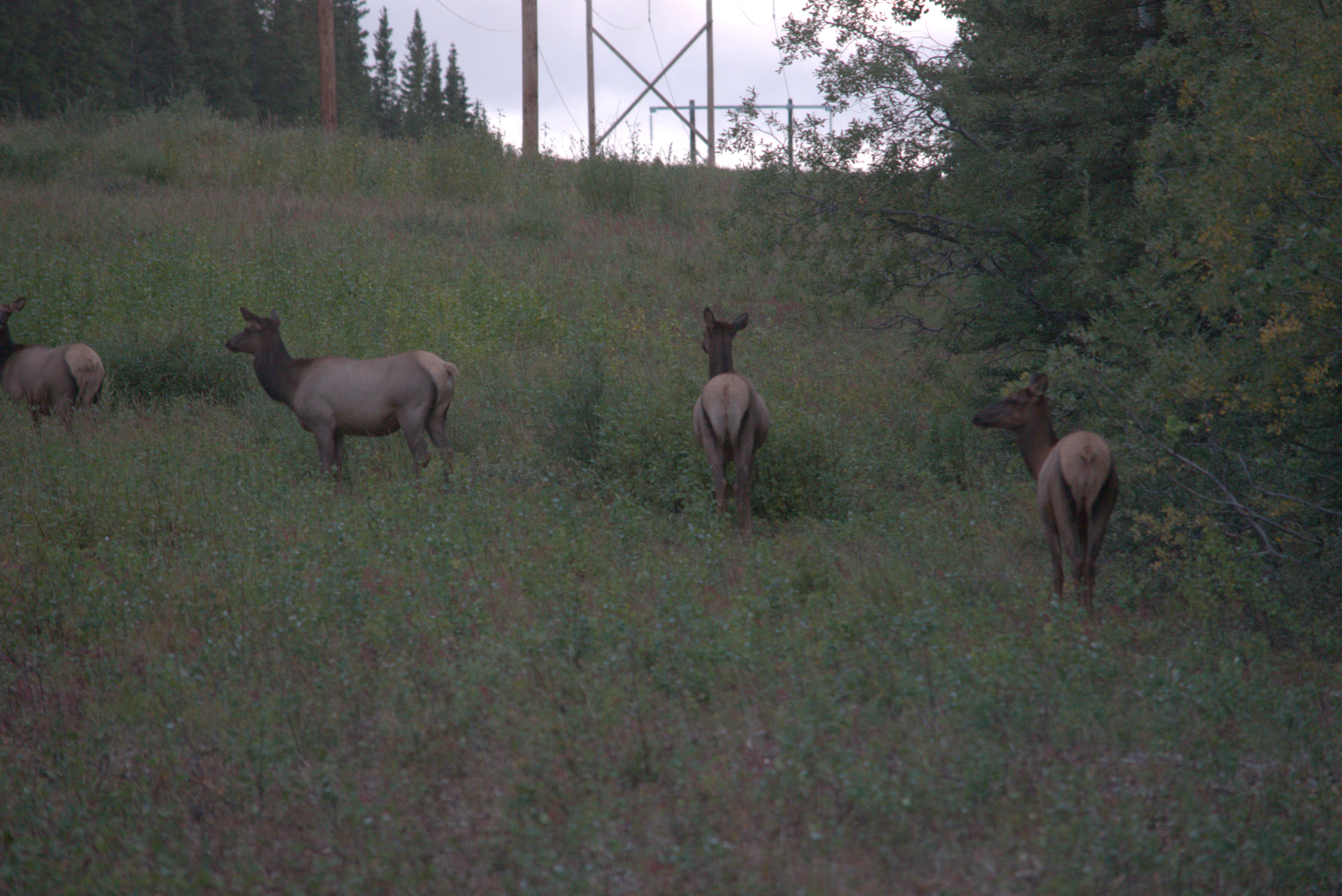
The next morning, I woke up to this view.
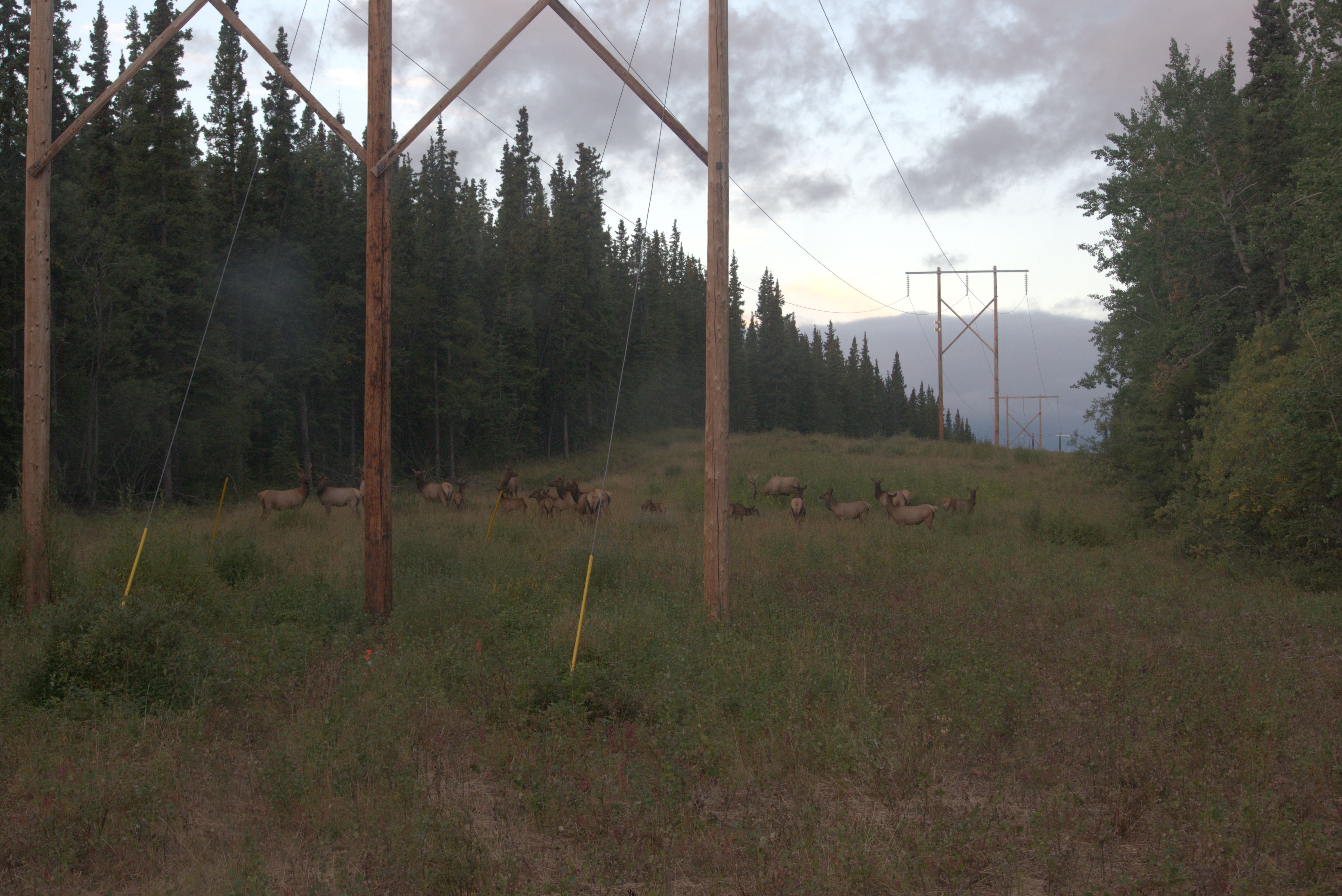
It looked like the whole herd was having breakfast around the camper.
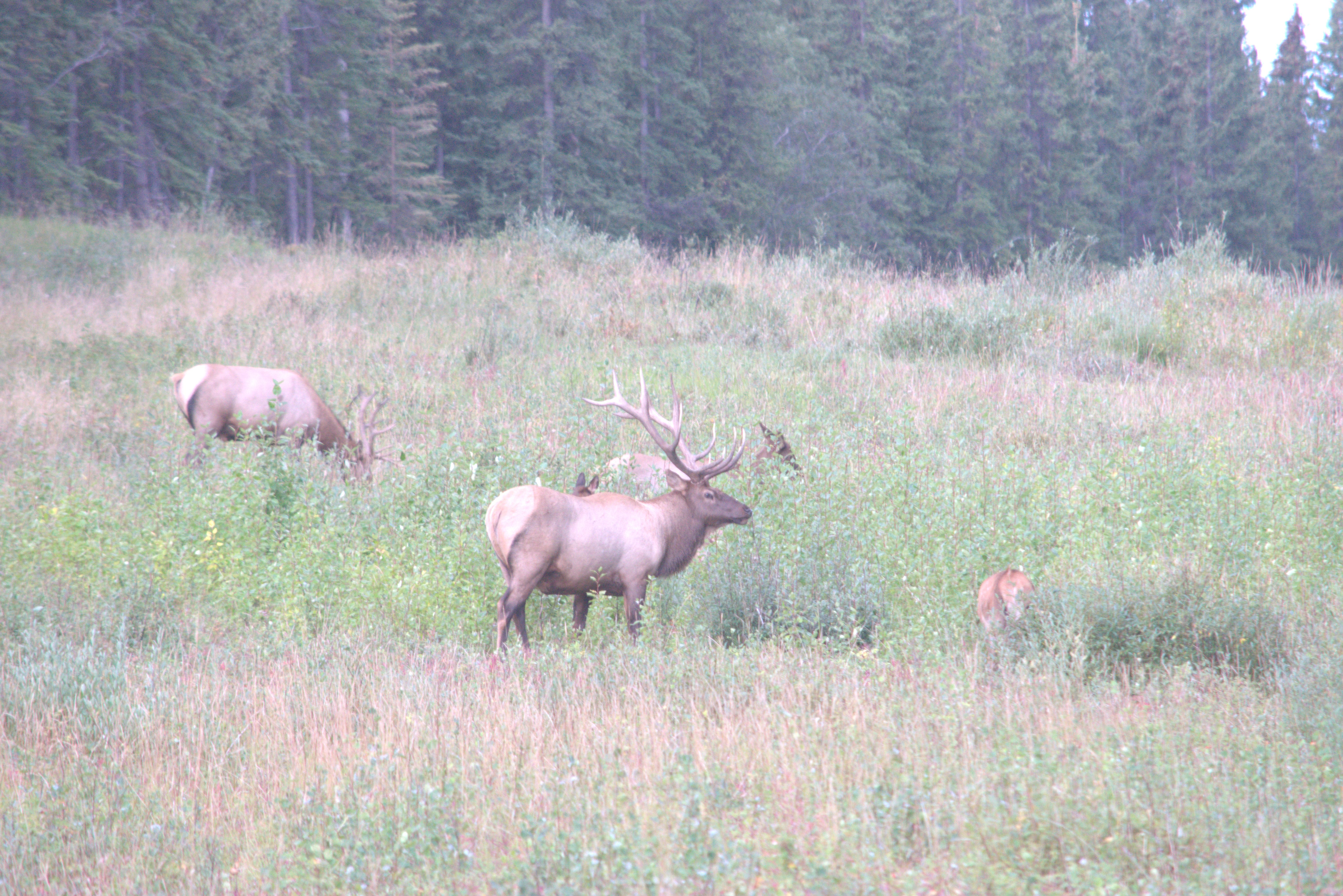
After the morning excitement, I hiked up a hill to the northeast, following ATV trails and doing some bushwalking.
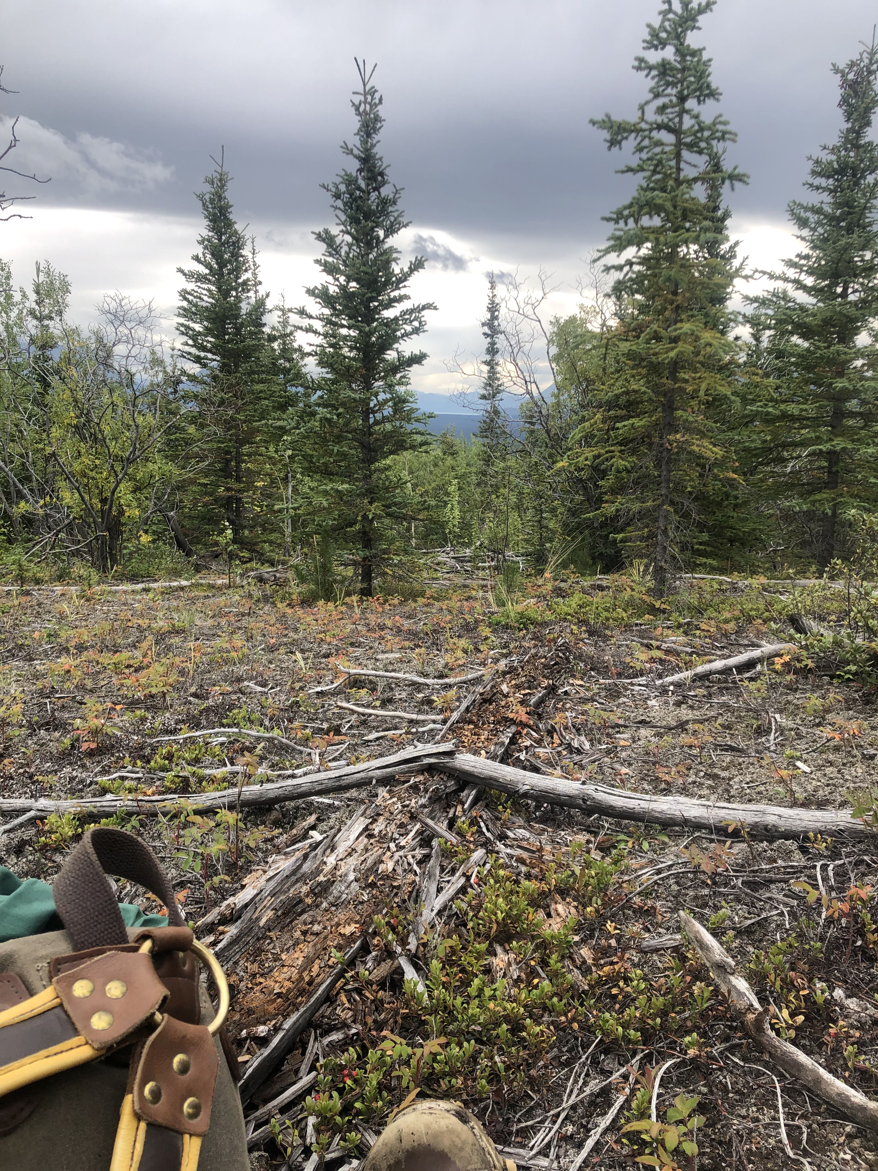
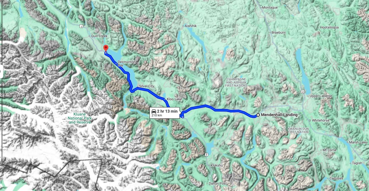
On August 29th, I headed out to Haines Junction and continued north on the Alaska Highway towards Bear Creek. In Bear Creek, I turned off the Alaska Highway onto the Alaska Valley Road, which leads to the trailhead of Thunderegg Creek. I attempted this trail but soon discovered that it was completely washed out, and continuing would require crossing a ford—not what I had in mind for this afternoon walk, considering the much cooler temperatures. Instead, I walked a loop in the open meadows and low brush, enjoying the beginning fall colors of the aspen and views of Mount Archibald.
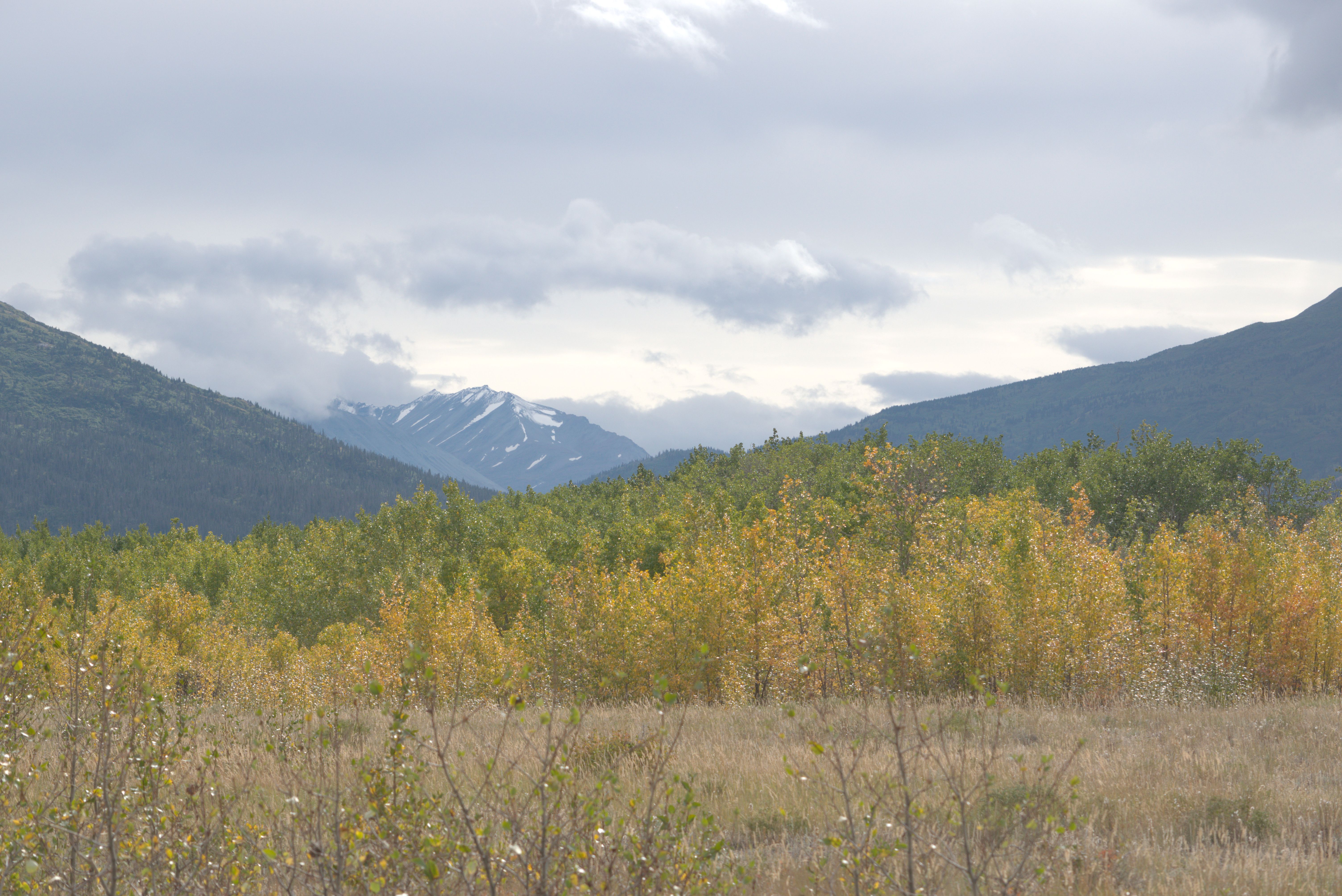
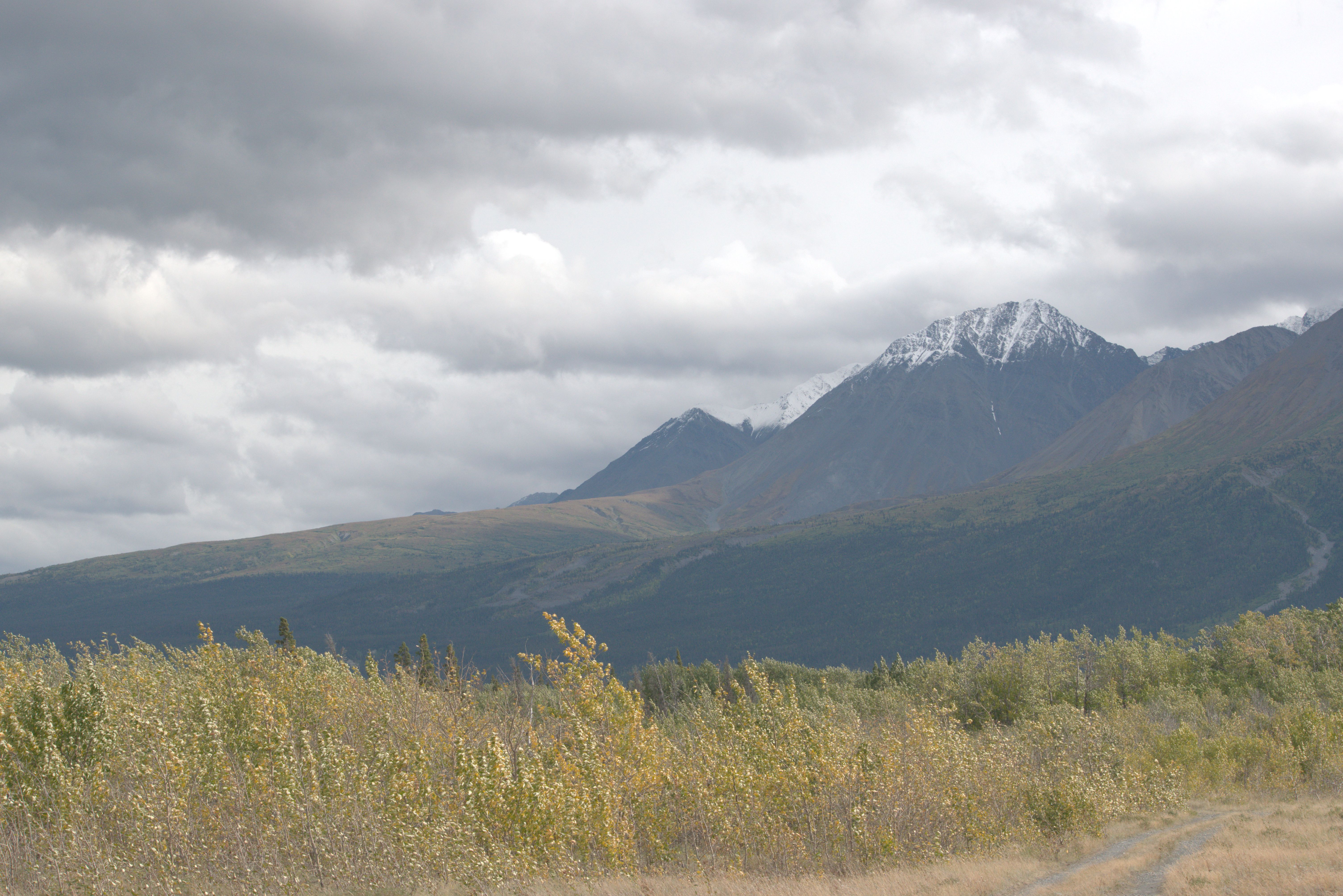
Afterward, I continued further north to Lake Kluane. Approaching Tech Dhal, or Sheep Mountain, I was lucky to actually see sheep on the mountain slopes—Susi and I had been unsuccessfully looking for them when we hiked here in June.
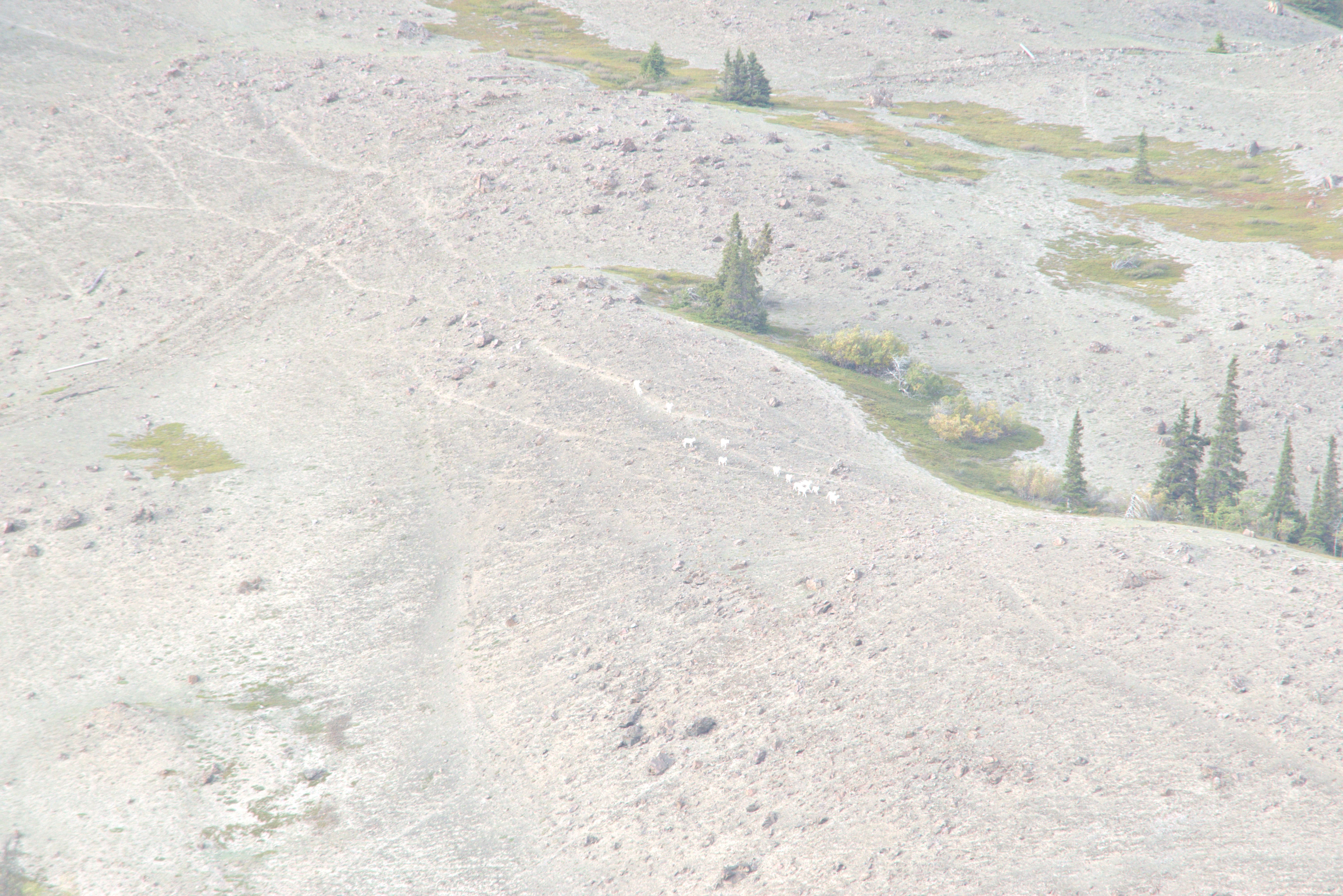
Tomorrow, I plan to hike up the Sheep Creek trail again, hoping to experience this beautiful area in the fall colors.
For the night, I stayed at a pullout just north of the National Park boundary. This spot offers great vistas of the Mount Cairnes range, south of Lake Kluane.
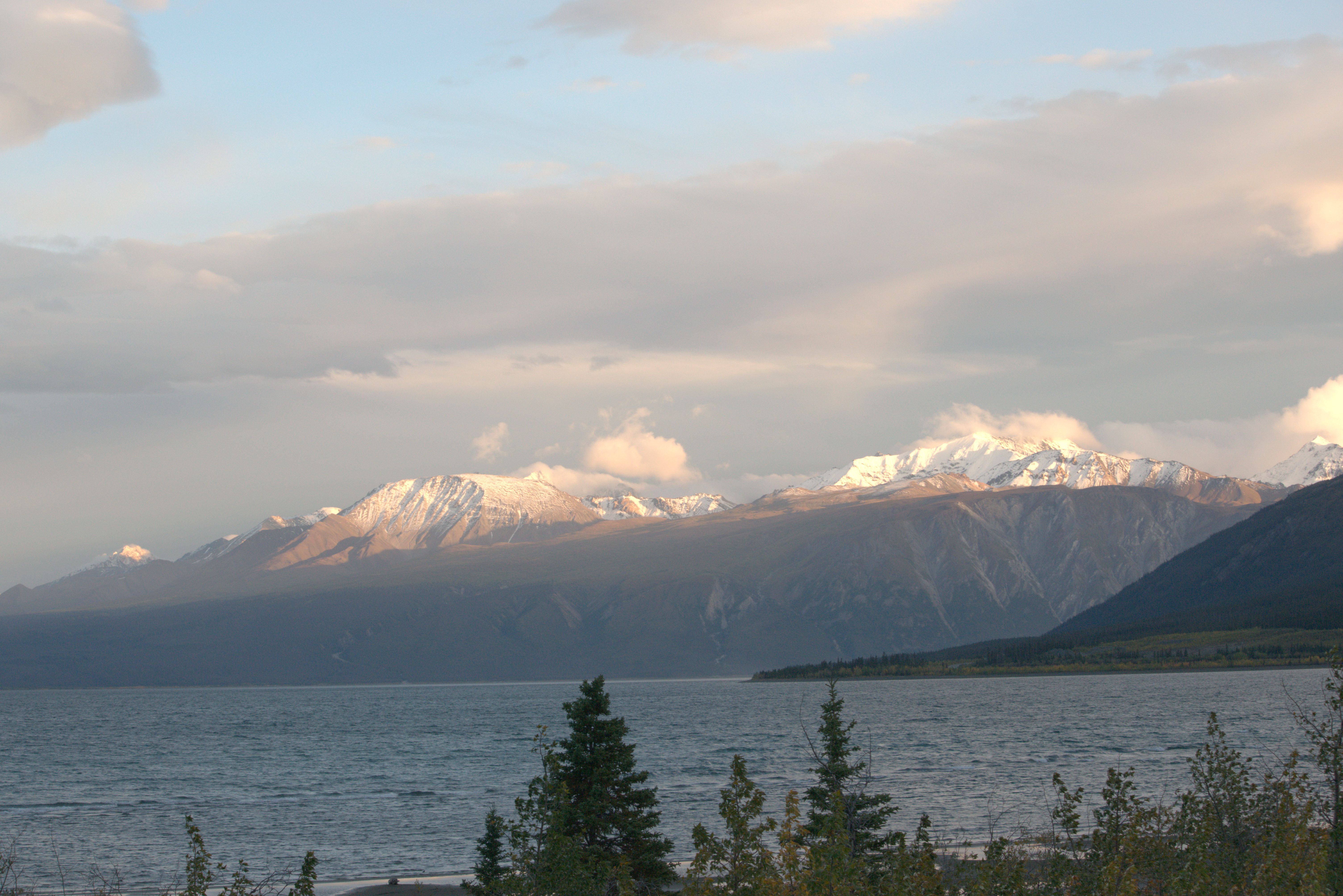
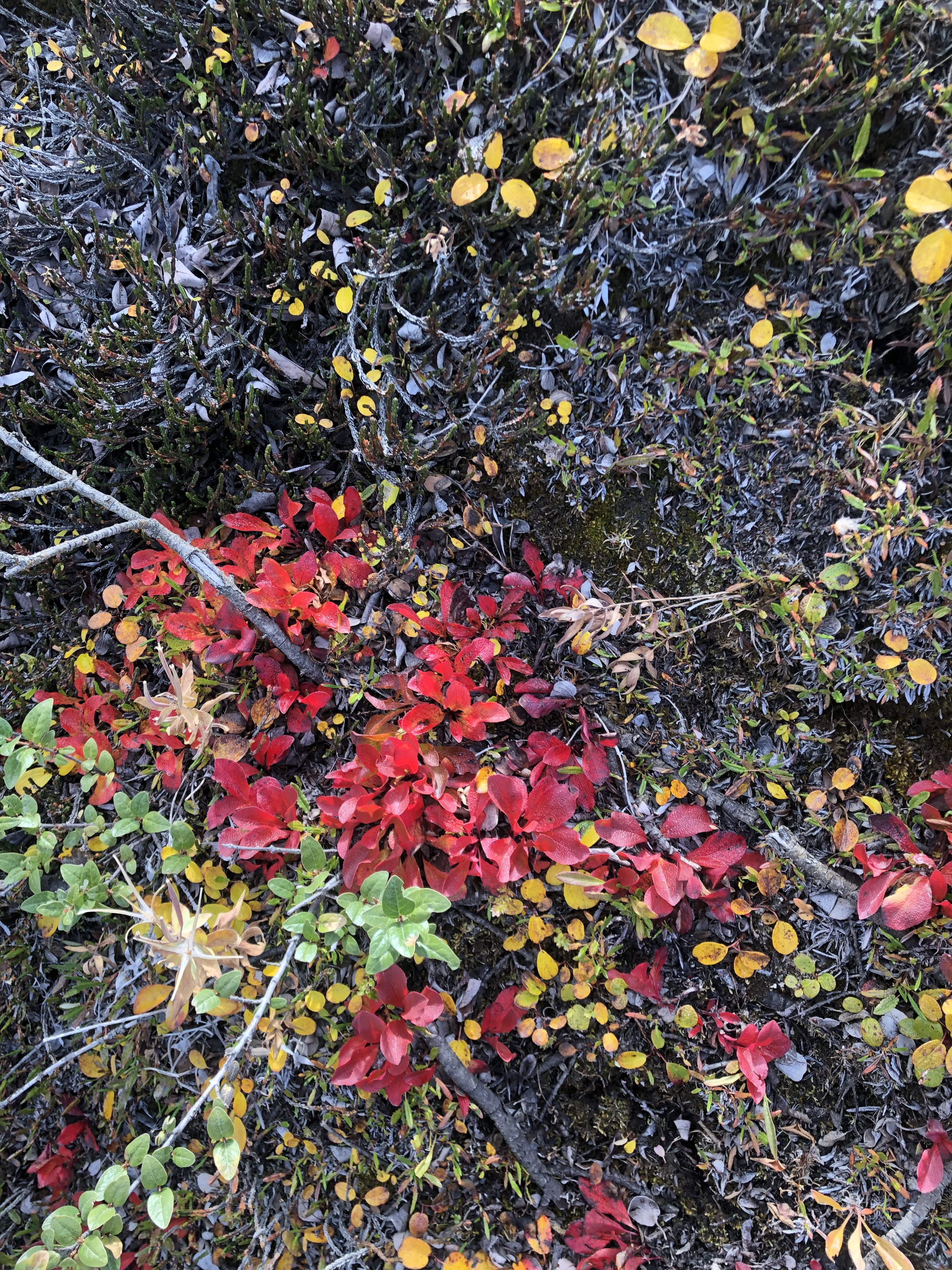
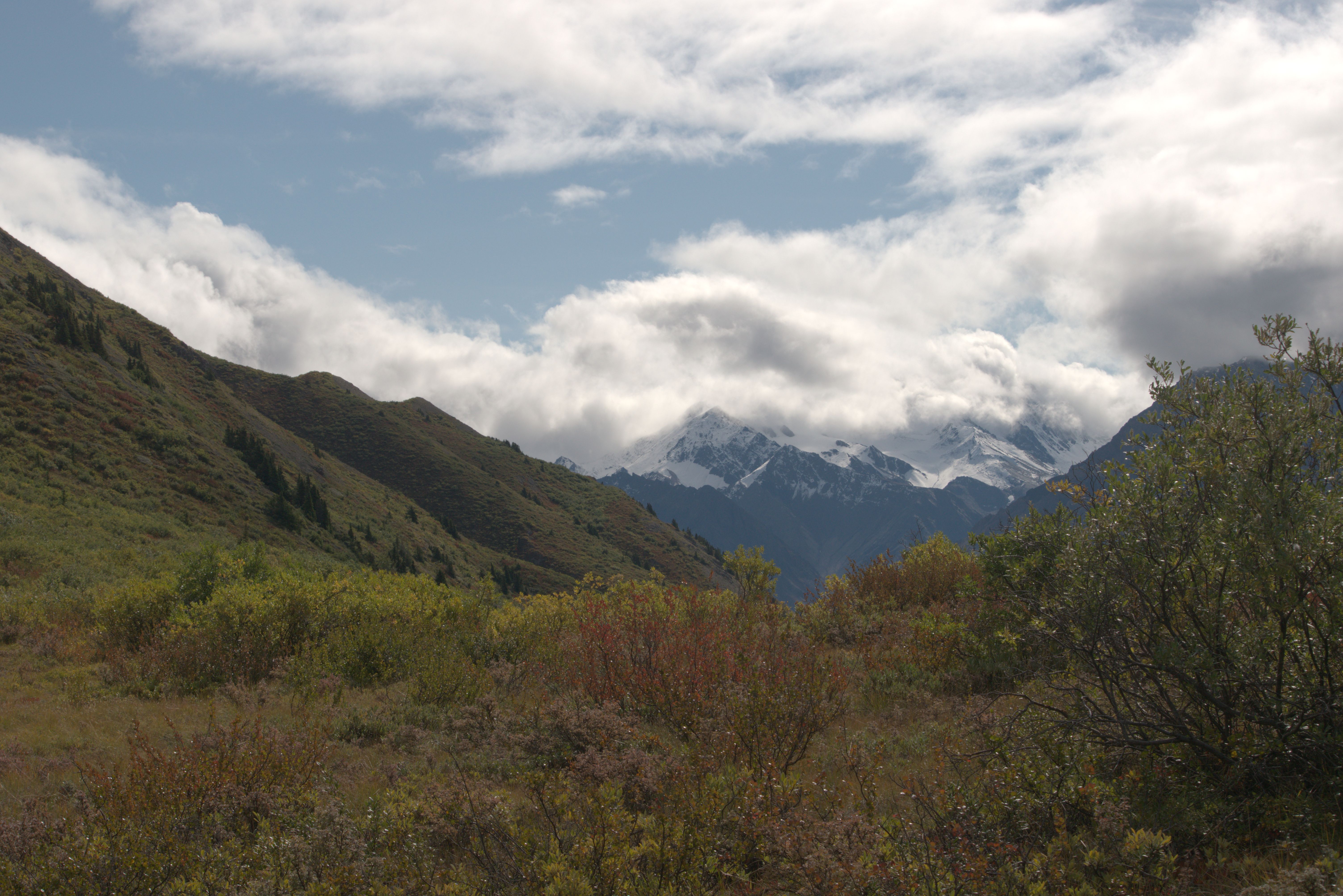
Enjoying the wonderful outlooks over the A’ay Chu (Slim River) valley and the patches of bright red leaves, indicating that fall has arrived.
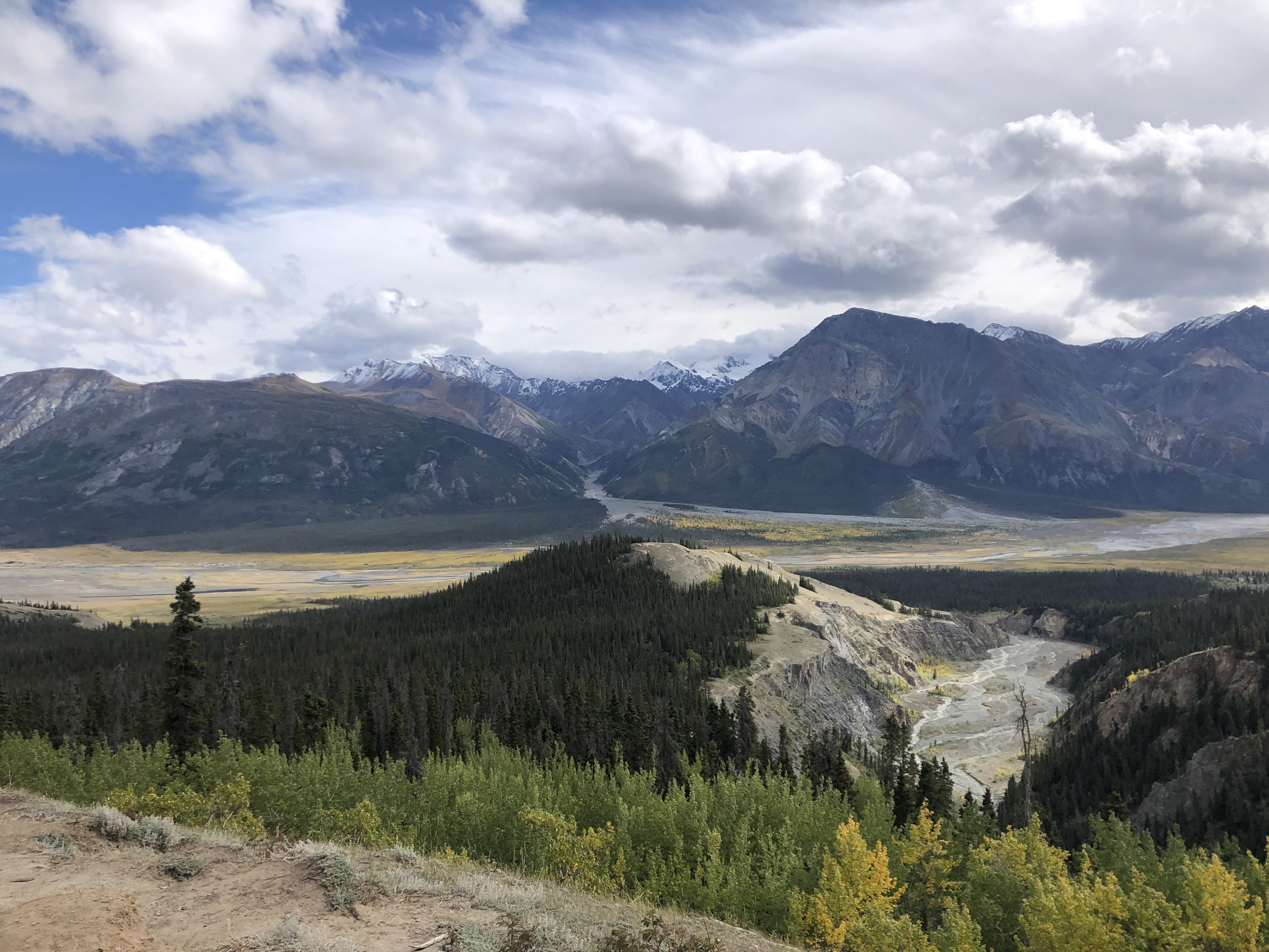
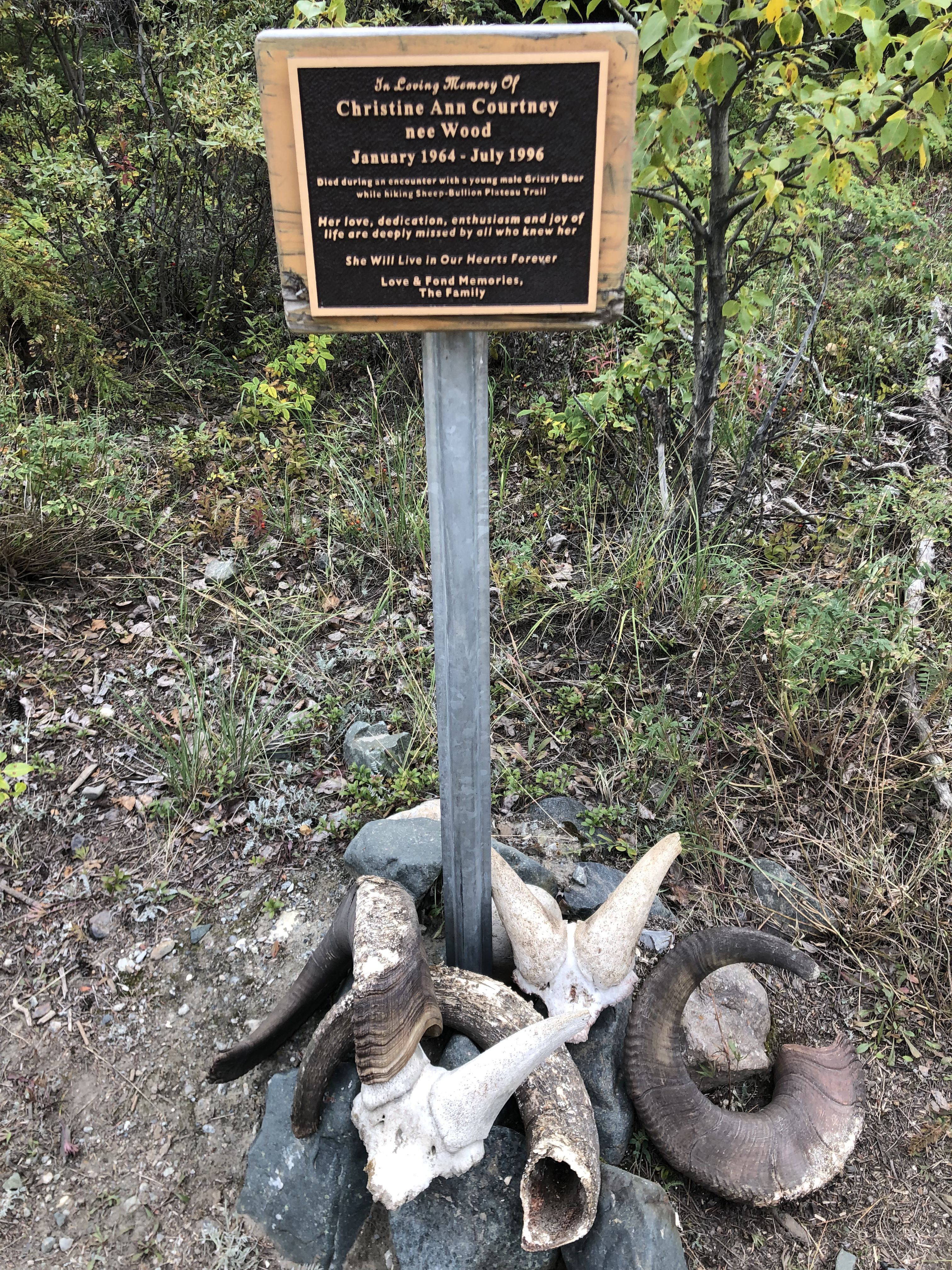
A reminder that we are in bear, specifically grizzly bear, country. This sign tells the story of Christine, a woman hiking in this area who encountered a young male grizzly and suffered fatal wounds.
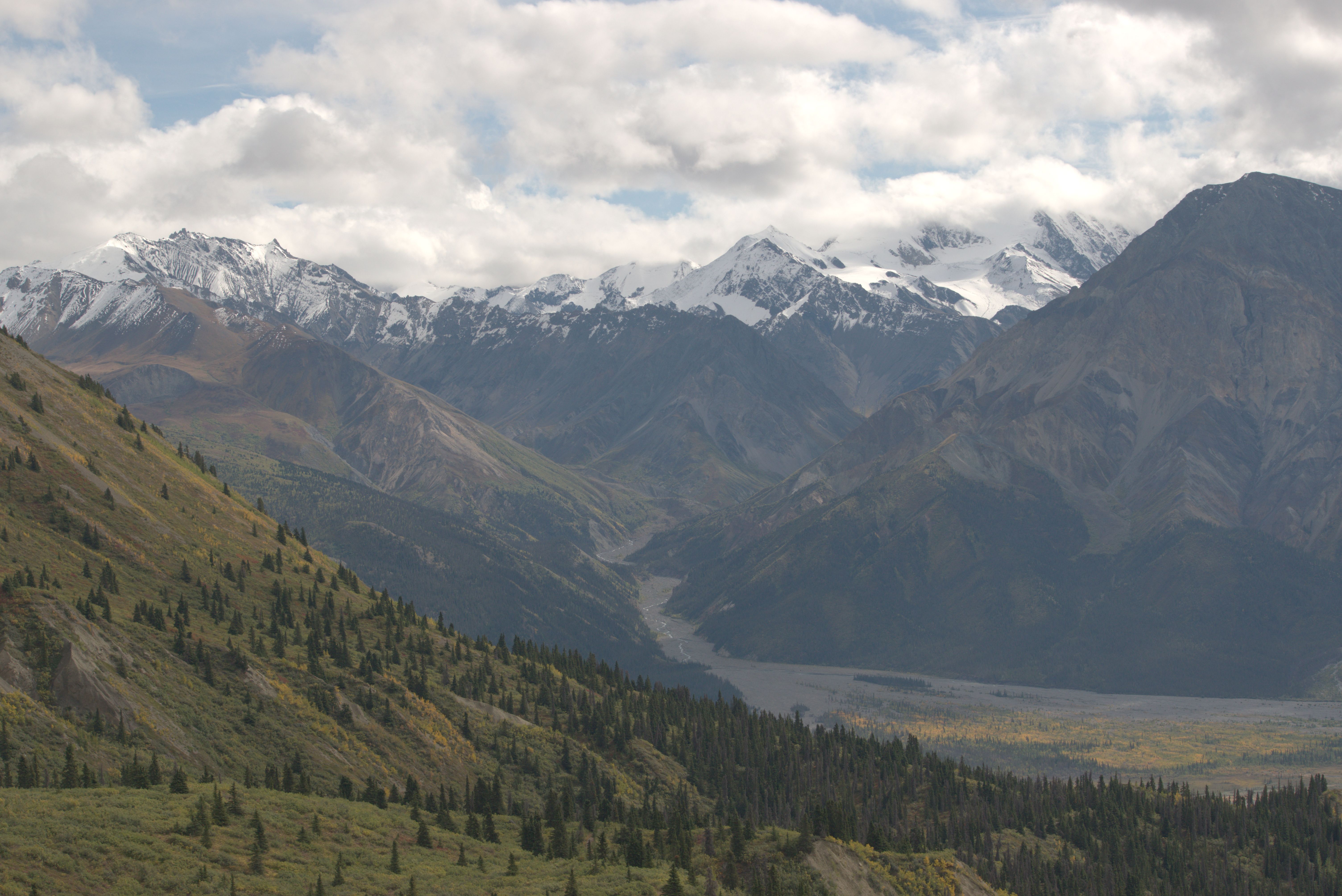
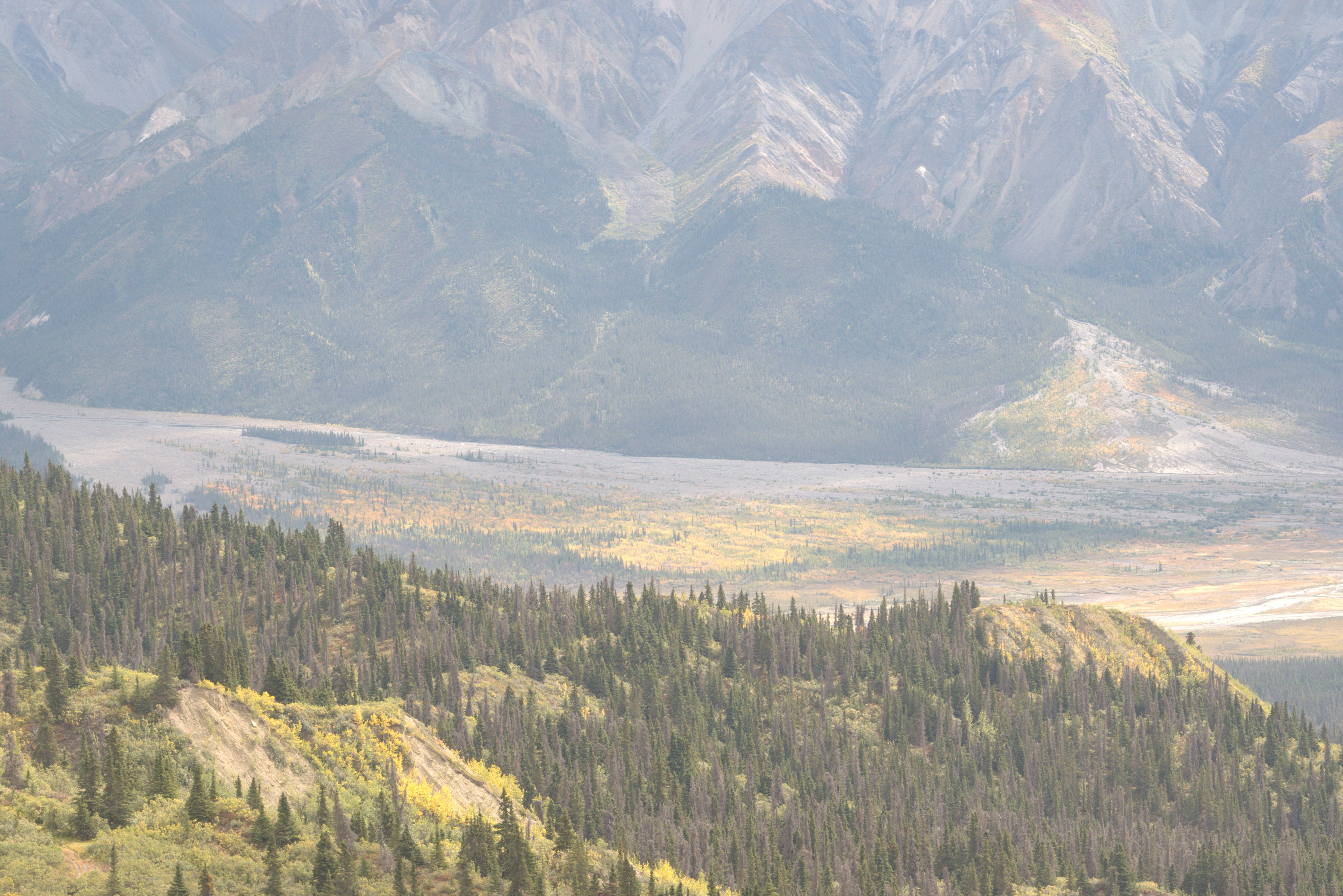
After returning from the hike, I found a camp spot on the shore of Kluane Lake, just north of the closed Congdon Creek Campground.
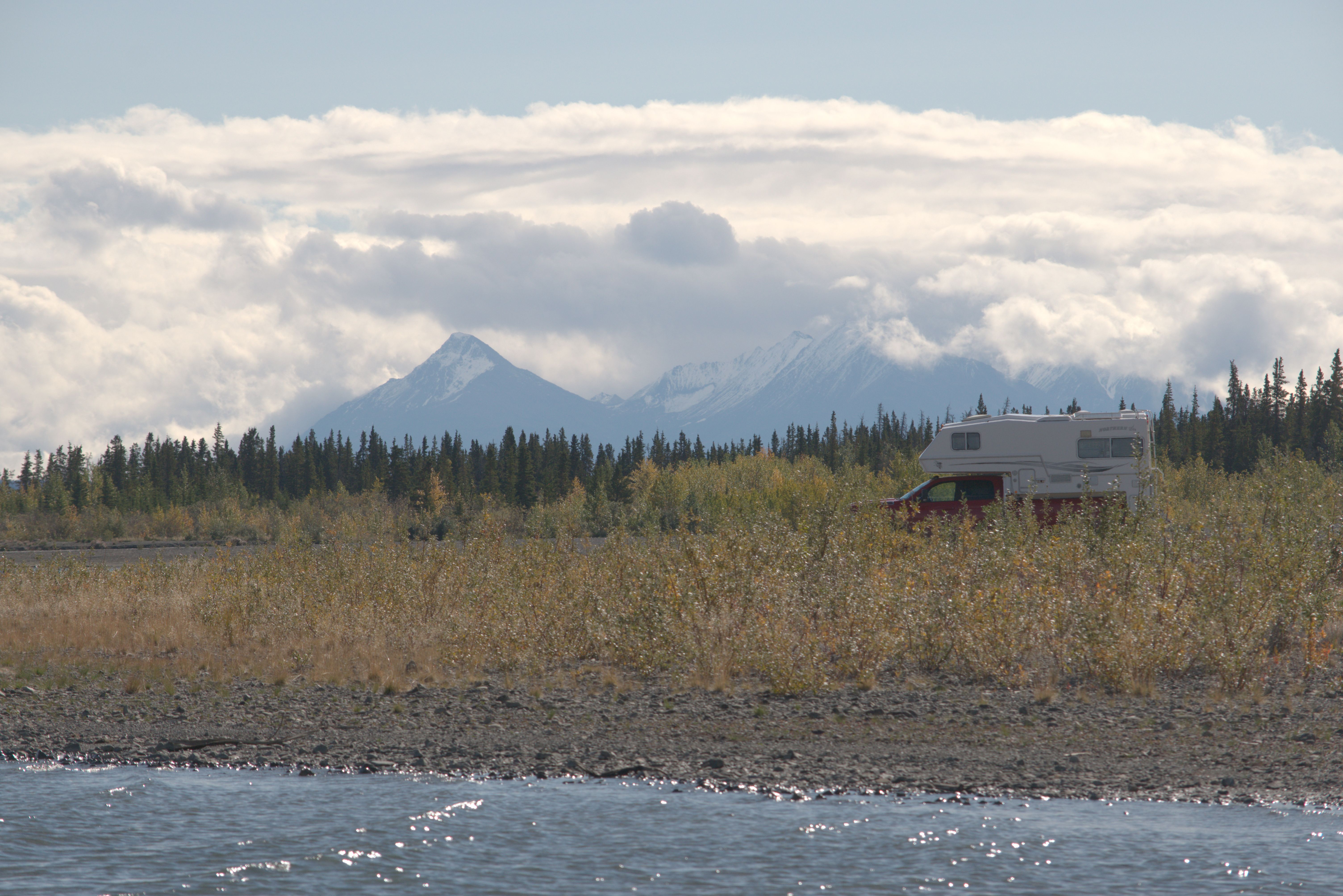
Susi and I have been in Yukon since June 26th, and now, at the end of August, the spring flowers are gone, and fall is clearly approaching. Even after two months, I am still baffled by how, almost every day, I experience vistas that leave me in stunned silence and awe!
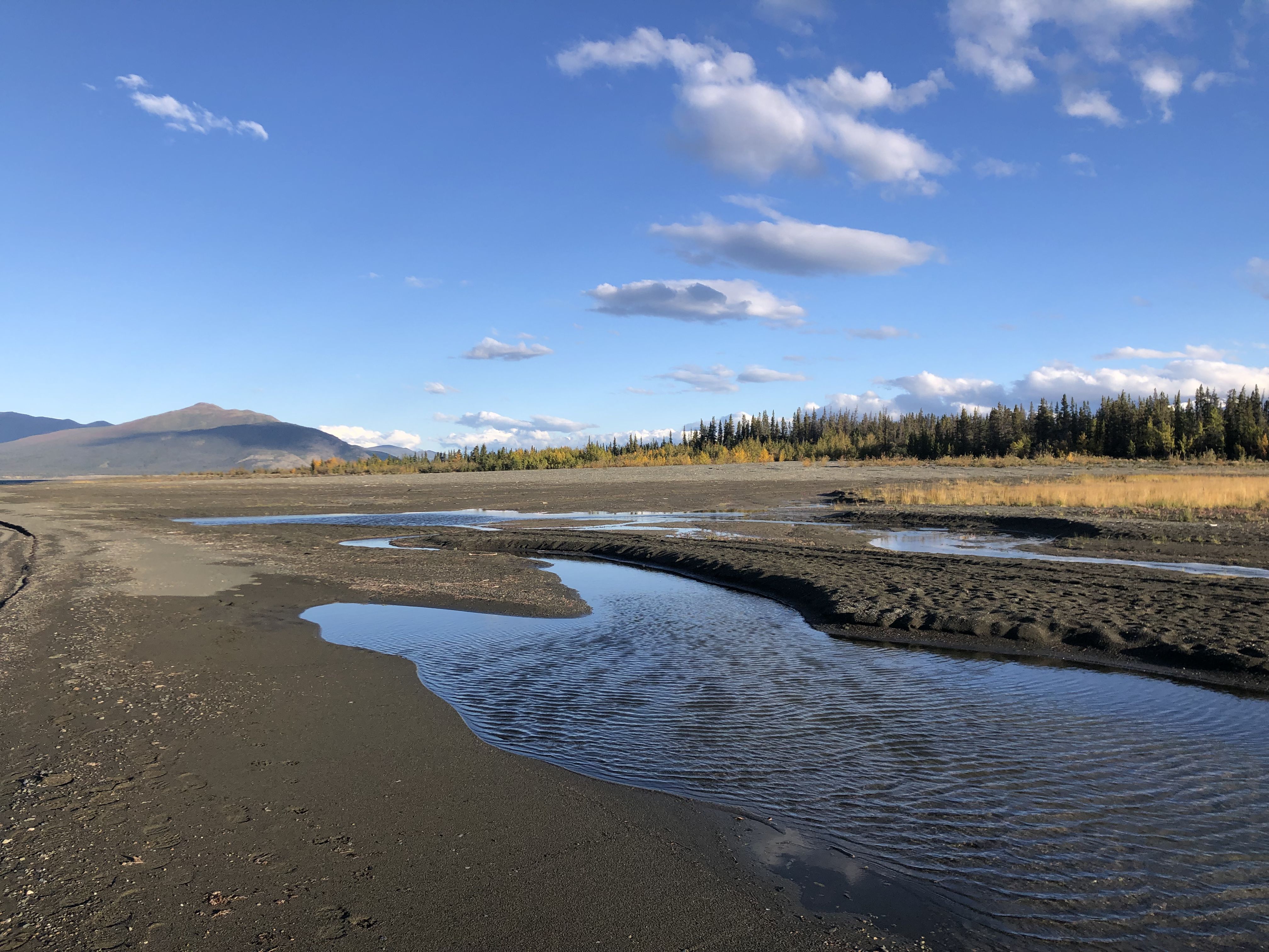
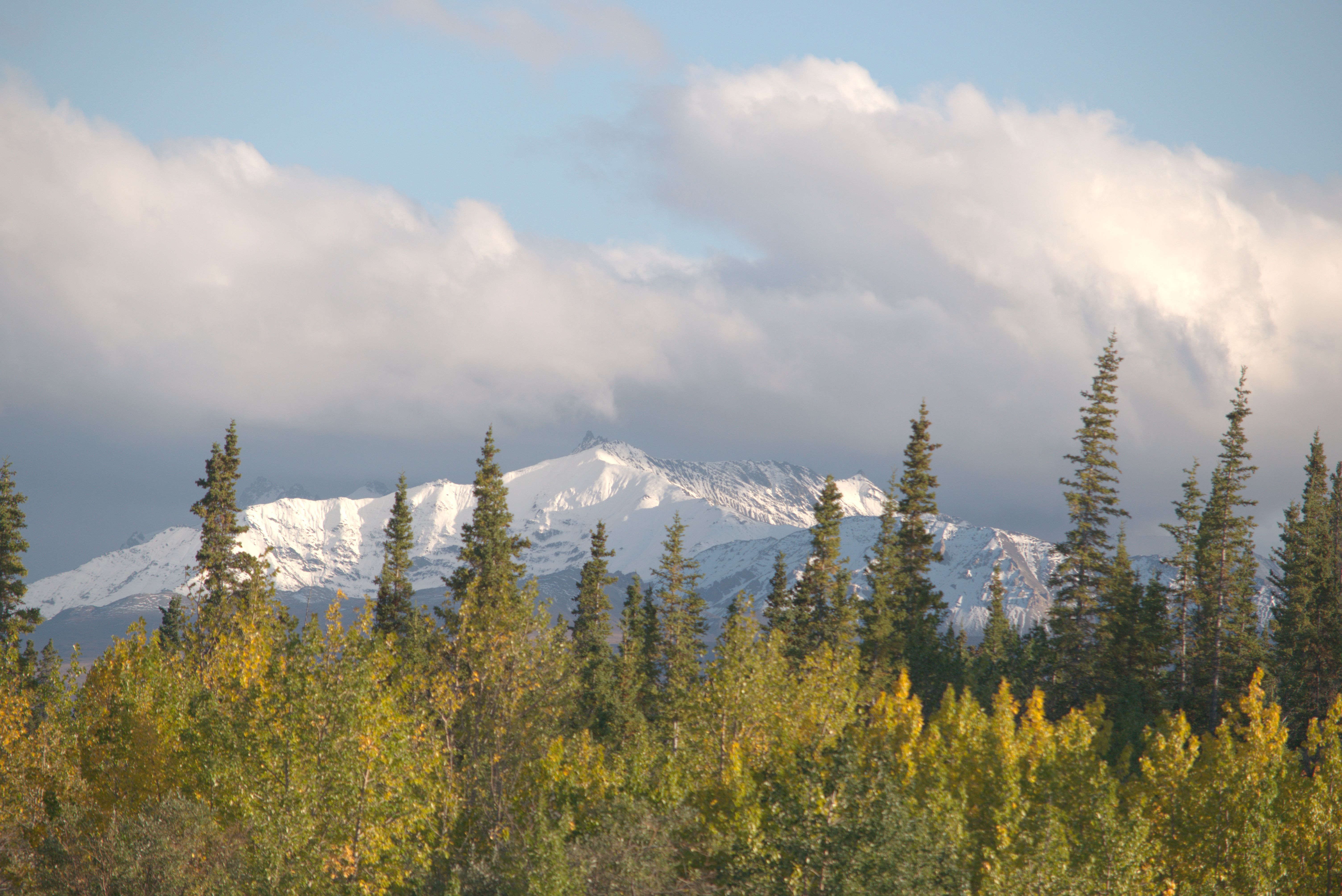
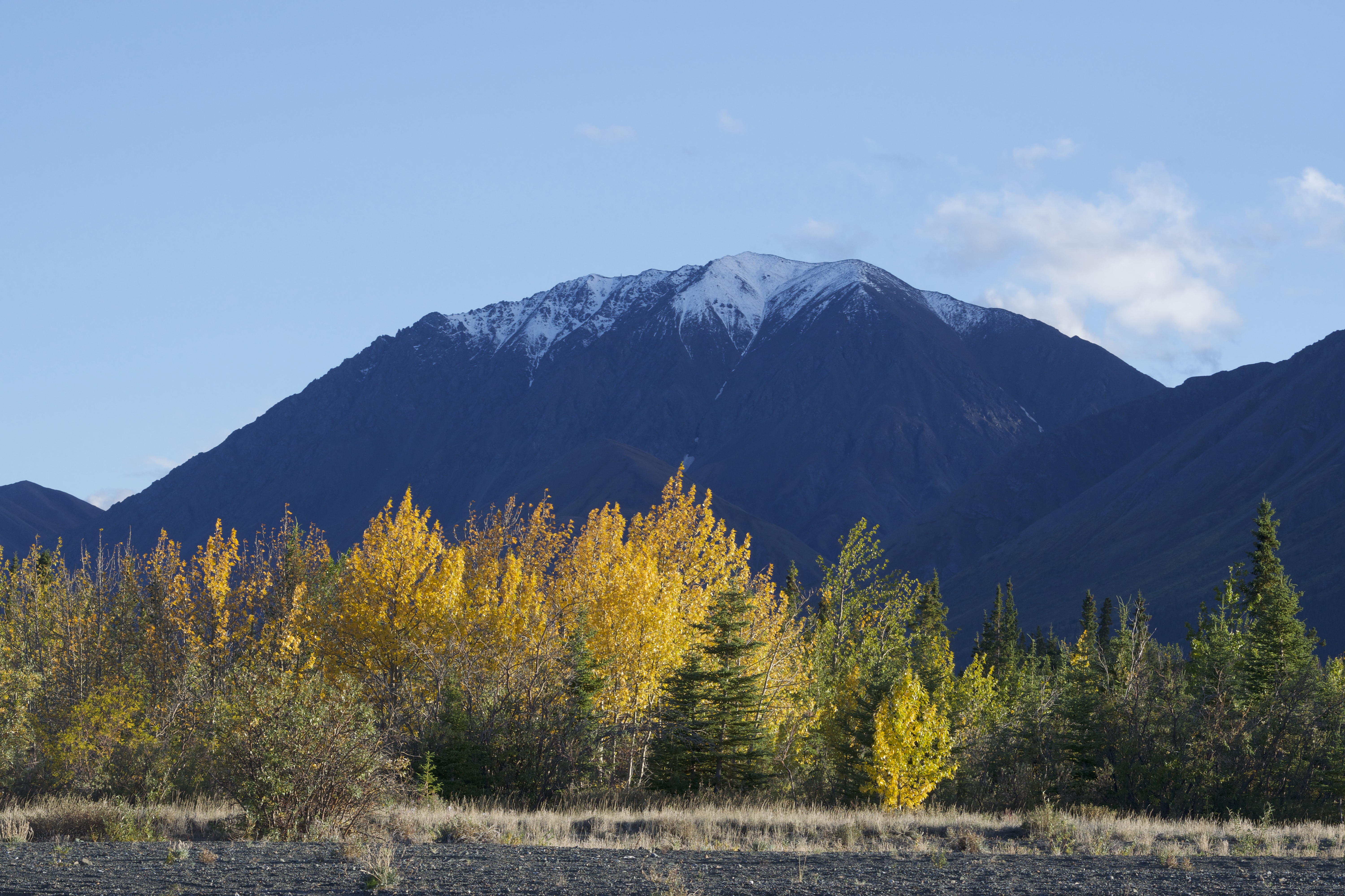
The wind picked up over night and the lake got choppy.
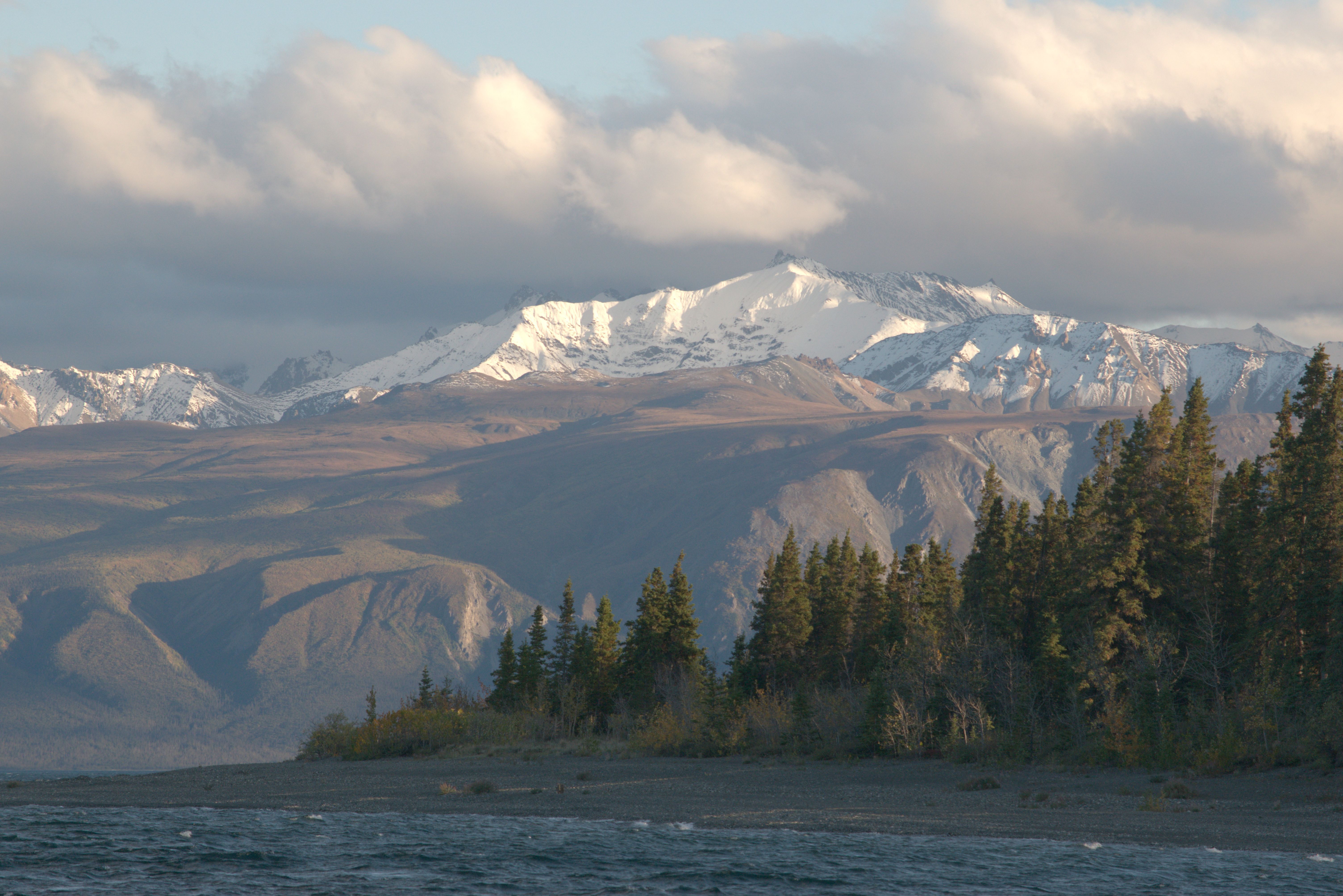
It looks like the weather might be changing, with more clouds moving in.
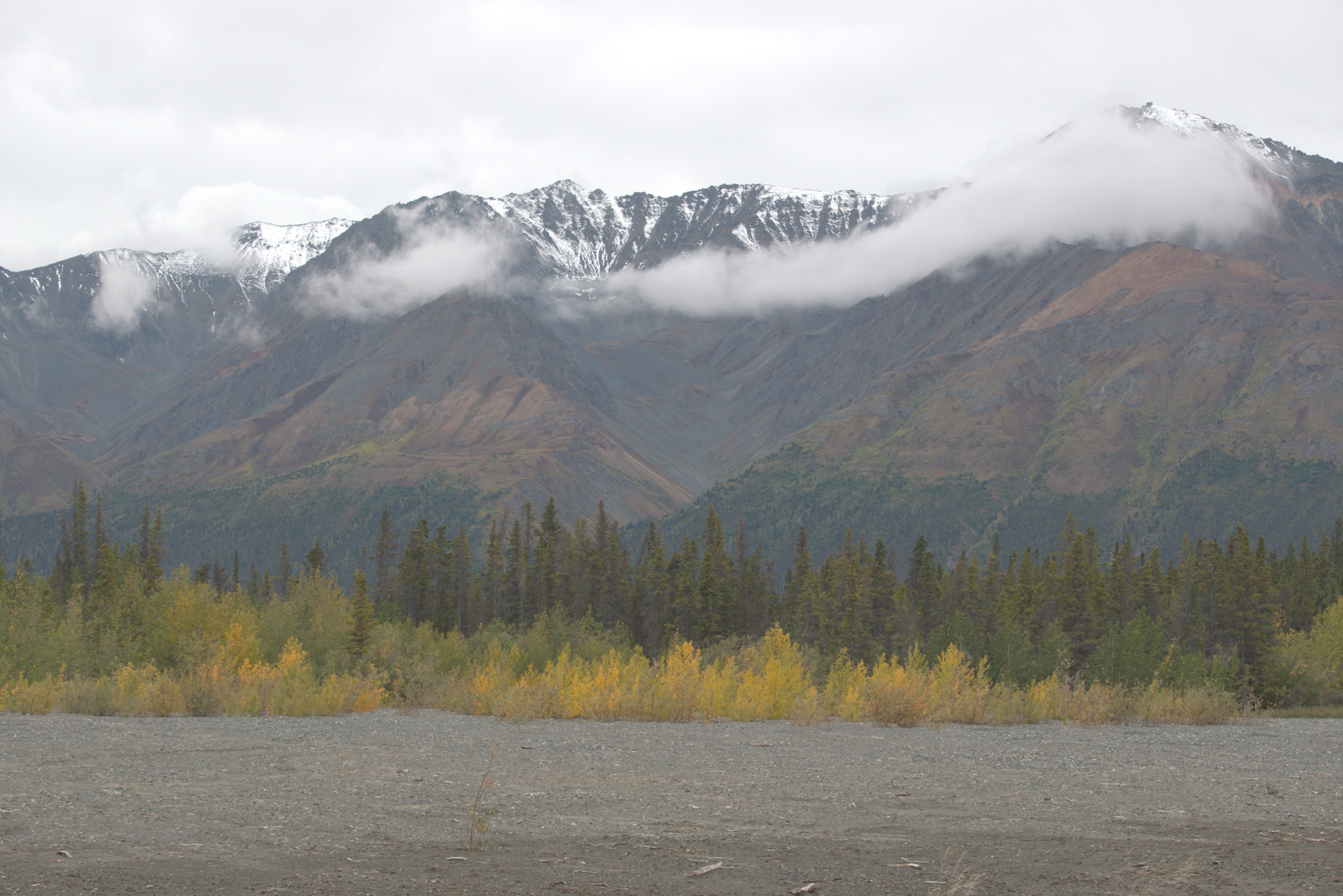
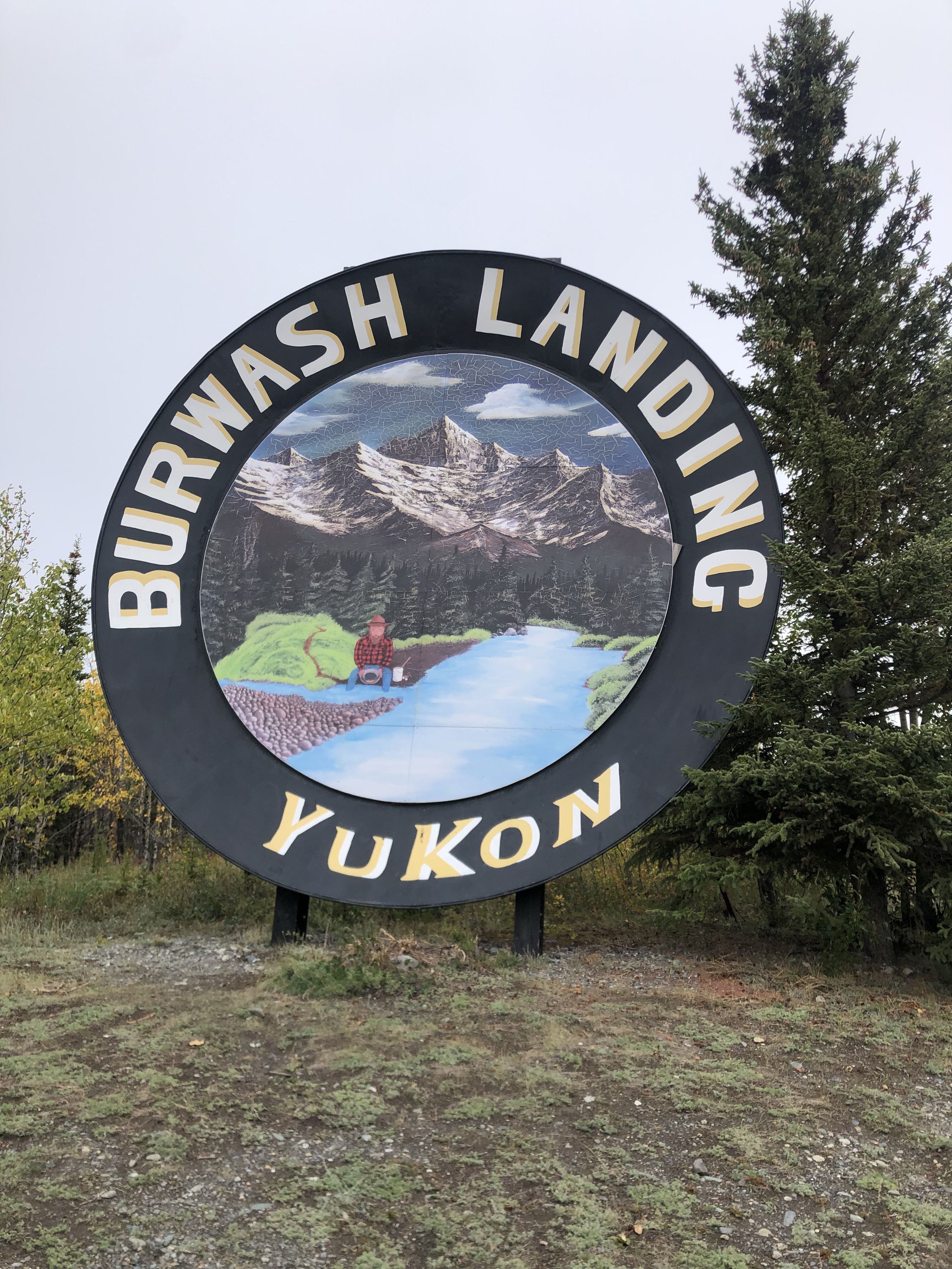
After a day on the shore of Lake Kluane, I headed north to visit Destruction Bay and Burwash Landing. At a gas station in Destruction Bay, I met an elderly couple from Switzerland with a truck camper. They come most summers to travel through Yukon and store their vehicle for the winter at the truck camper rental Frazerway in Whitehorse.
Destruction Bay, situated near Lake Kluane, was one of the settlements established in 1942 by the U.S. Army Engineers as a tent camp for the construction of the Alaska Highway. After Pearl Harbor, the U.S. government assumed that Japan might try to invade Alaska, and it was deemed necessary to build a road to Alaska for military purposes. This camp was destroyed by hurricane-force winds in 1952, hence the name. An article describing the history of the Alaska Highway can be found in The Milepost.
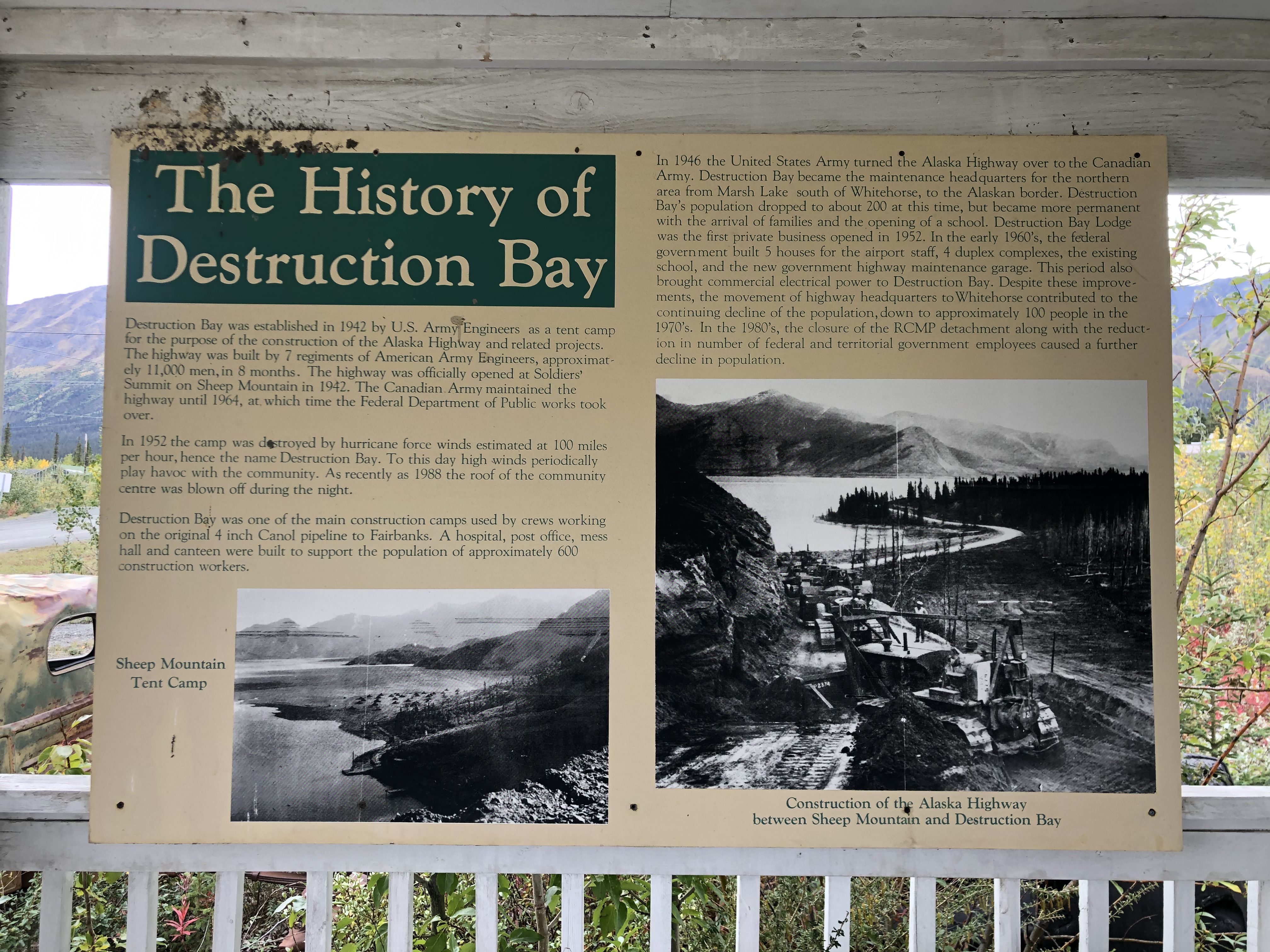
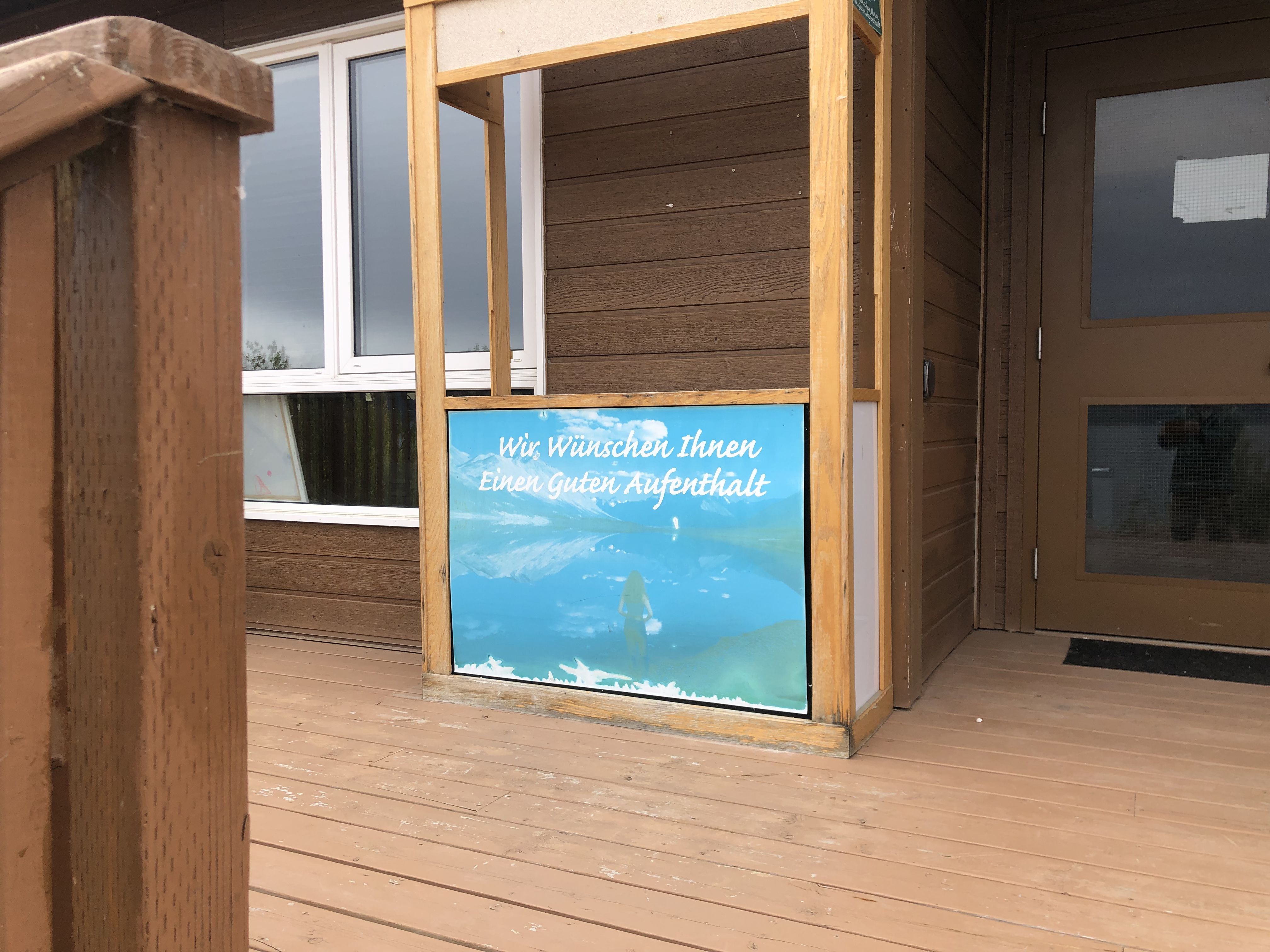
Surprise—some Germans must have been here. I found this sign on the porch of the library in the First Nations village.
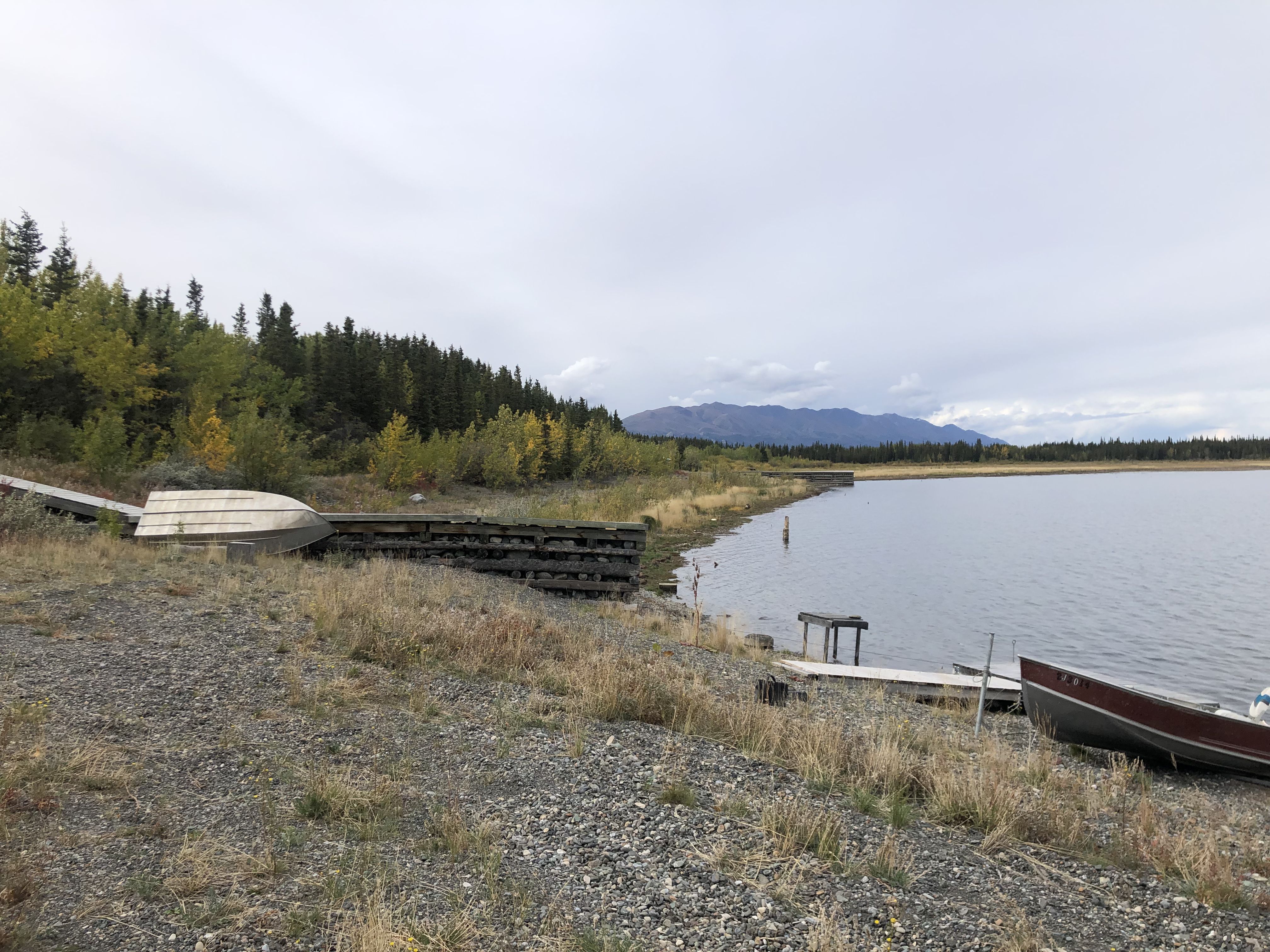
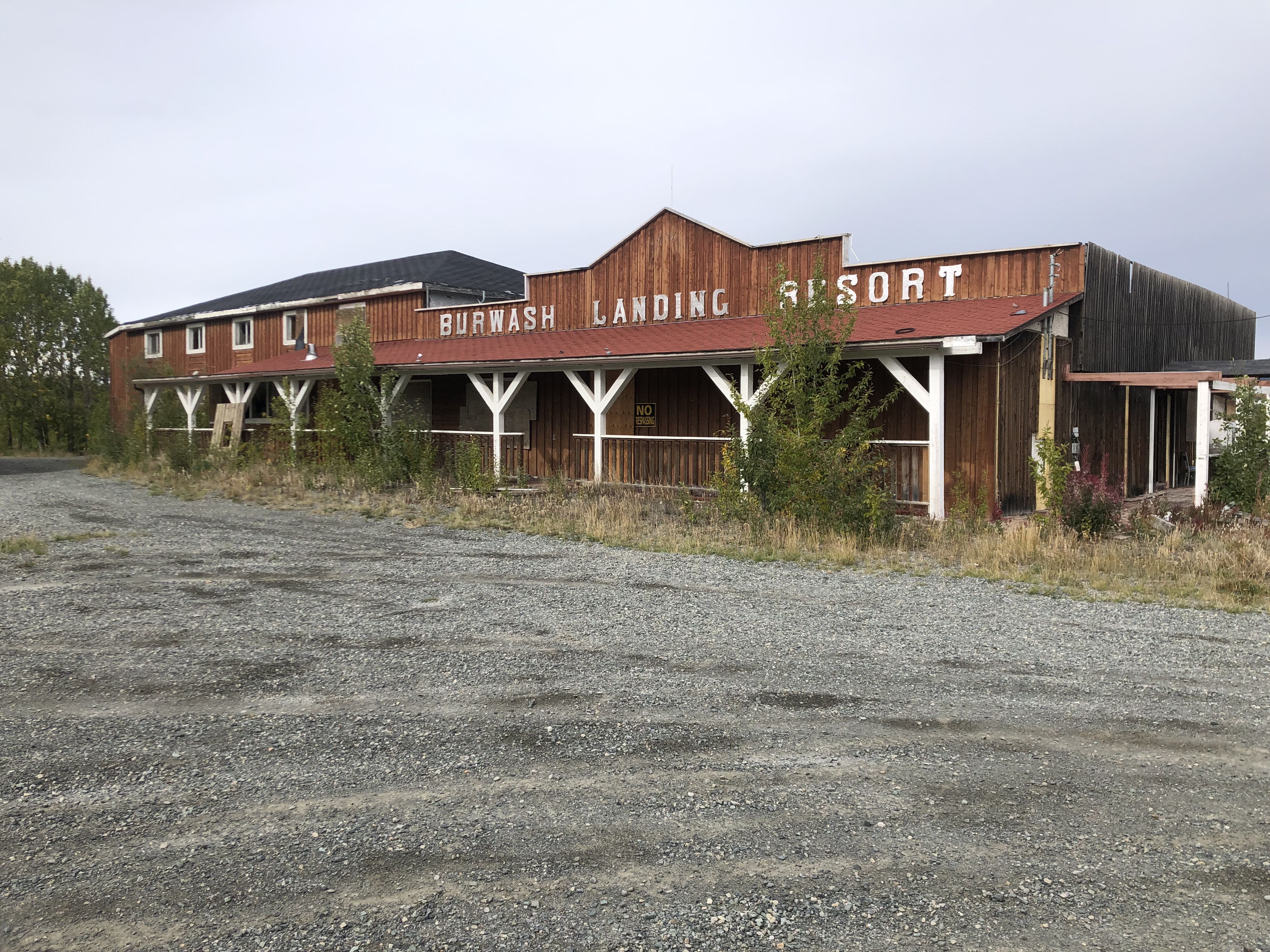
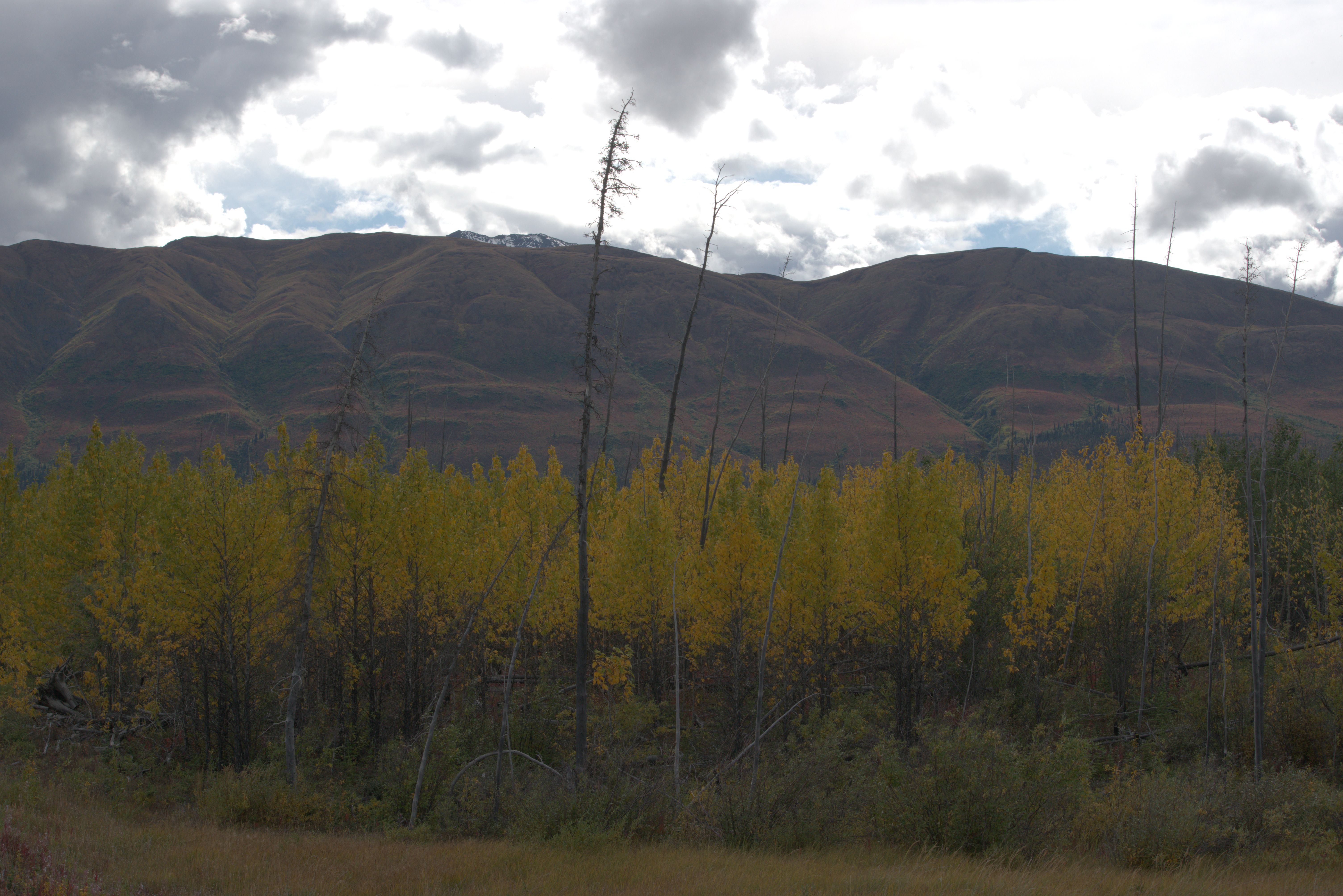
After visiting the museum at Burwash Landing, which displays many animals from the region and hosts the local quilting community, I turned around to spend the night at last night’s spot on the shore of Kluane Lake.
Map link Part 15, Montana Mountain
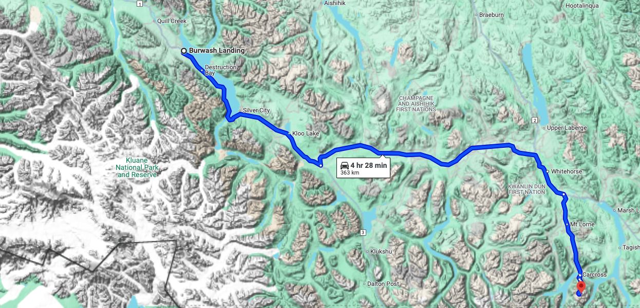
On the next day, I returned to Whitehorse.
The following days were spent enjoying the warmth in our preferred coffee shop and at the fantastic local library, searching for literature about the mining history of Carcross and especially Montana Mountain. With the help of a friendly librarian, I found Fractured Veins & Broken Dreams by Murray Lundberg, which I later discovered was also available online. This history of the exploration of Montana Mountain and the surrounding areas was written by a local. I found it fantastic to read—it reminded me a bit of the Jack London stories I loved as a young adult.
On September 4th, I returned to ‘our spot’ in Carcross to spend the night there before hiking up Montana Mountain the next morning..
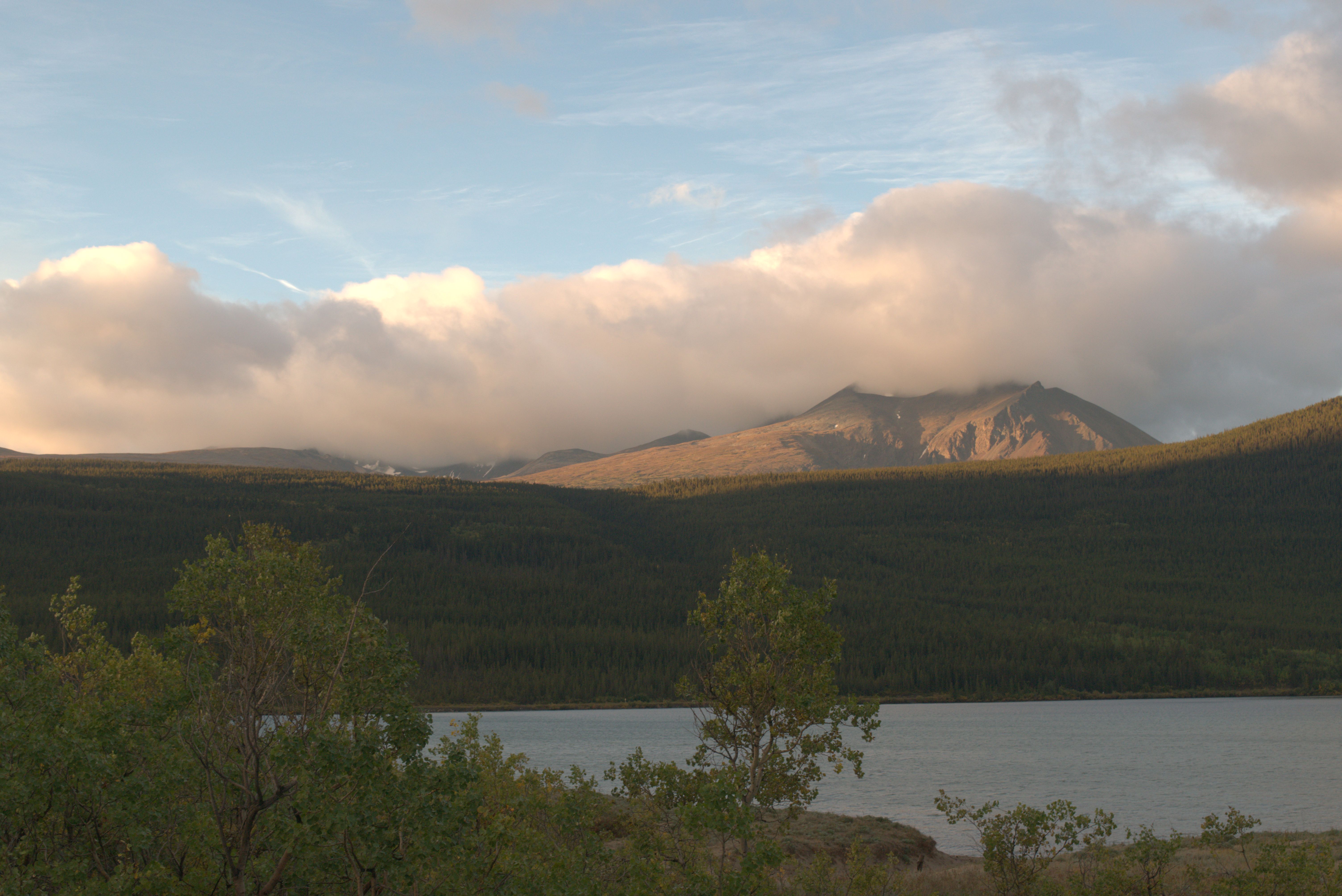
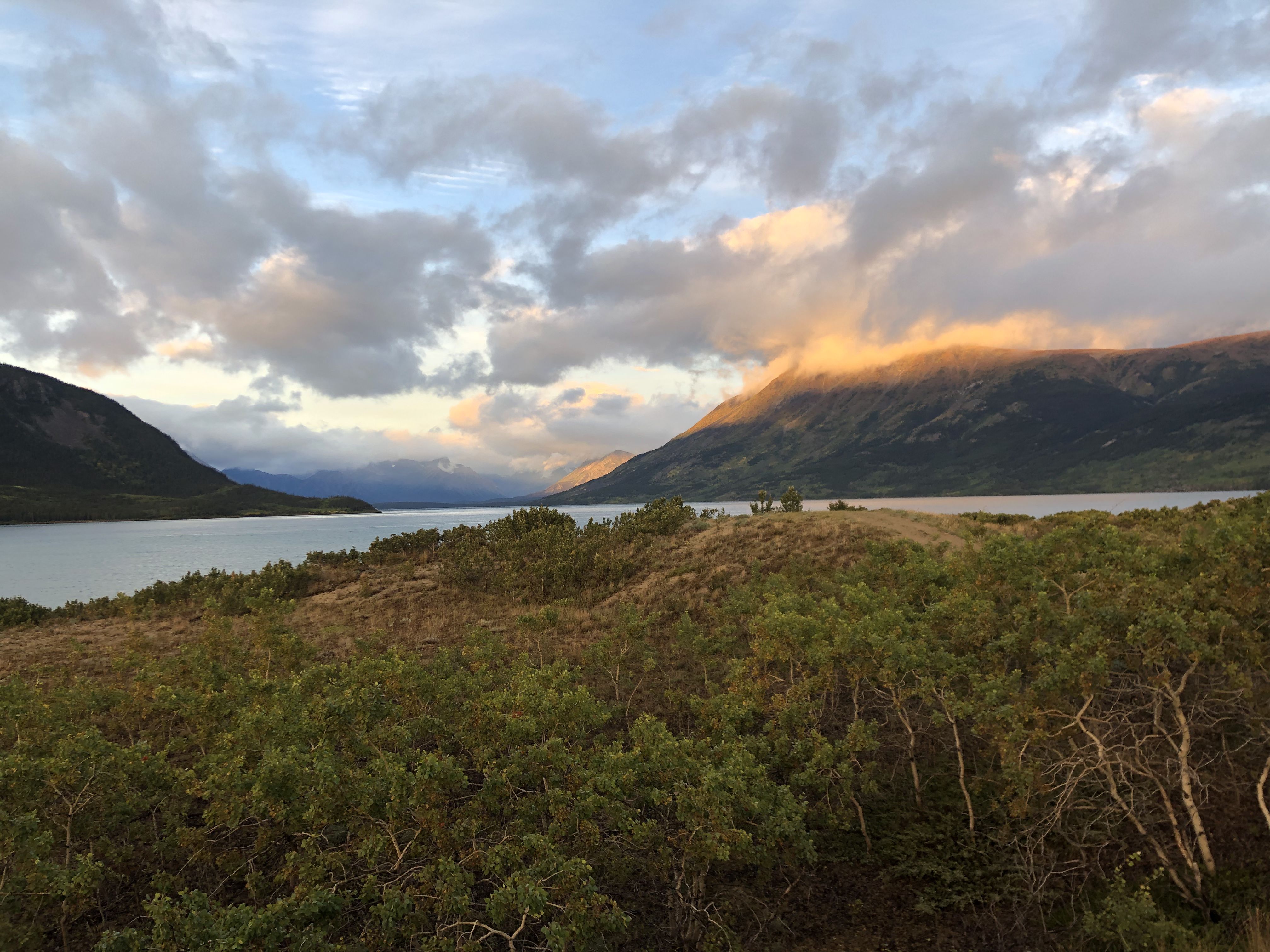
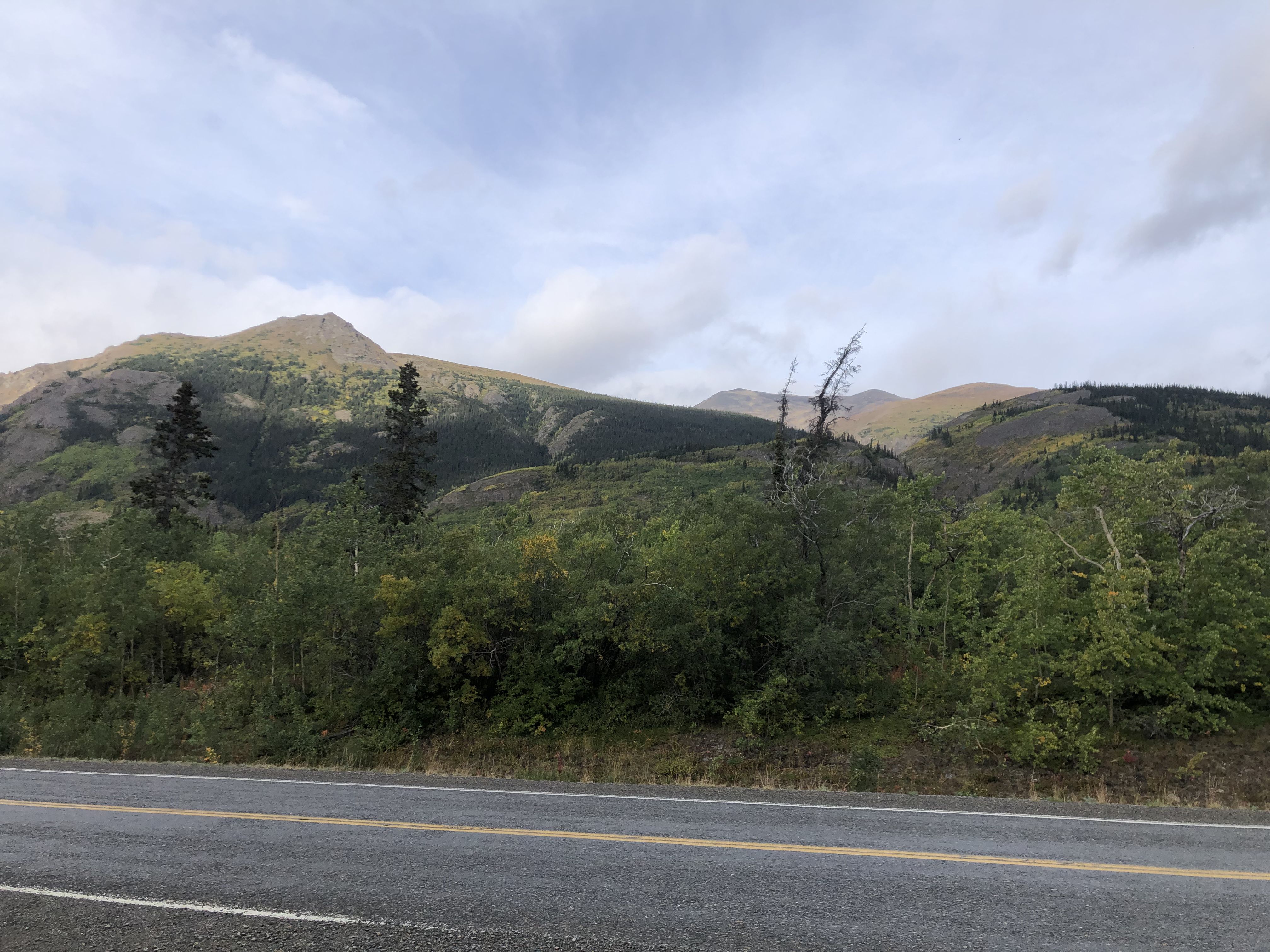
Montana Mountain is about 2000 meters high, and the road is at an elevation of about 700 meters.
I followed the Sam McGee Trail and later the Mountain Hero Trail up to the ridge between Montana Mountain and Mount Matheson.
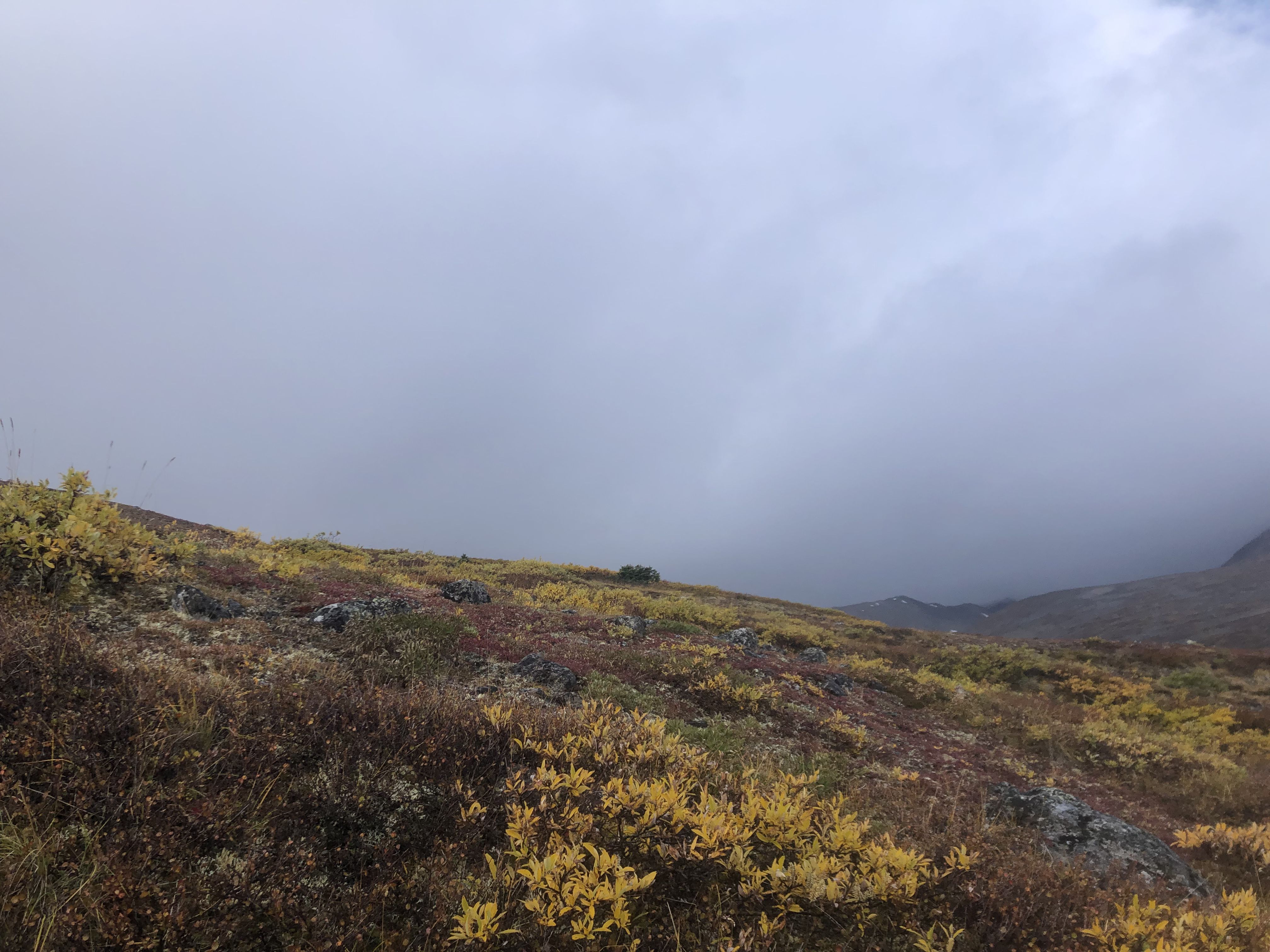
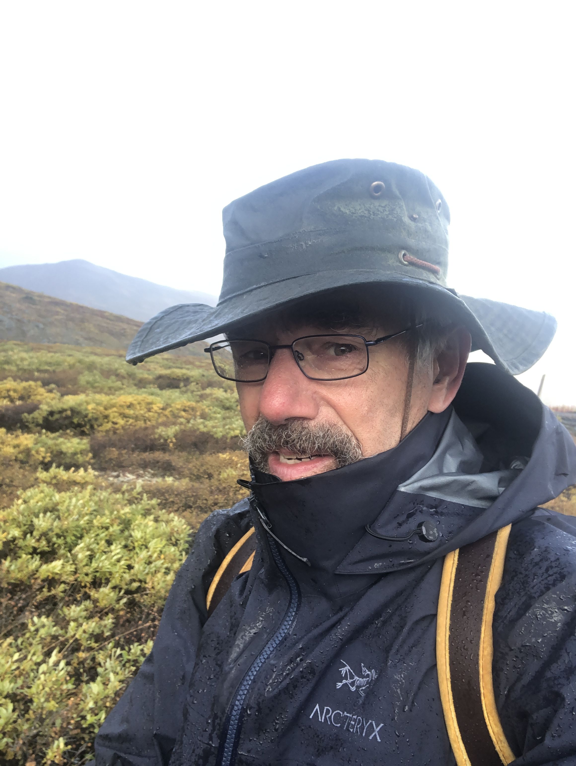
After gaining significant elevation while walking through the forest, the weather changed as I entered the alpine meadows on the Mountain Hero Trail. High winds drove cold rain, at times interrupted by brief periods of sunshine.
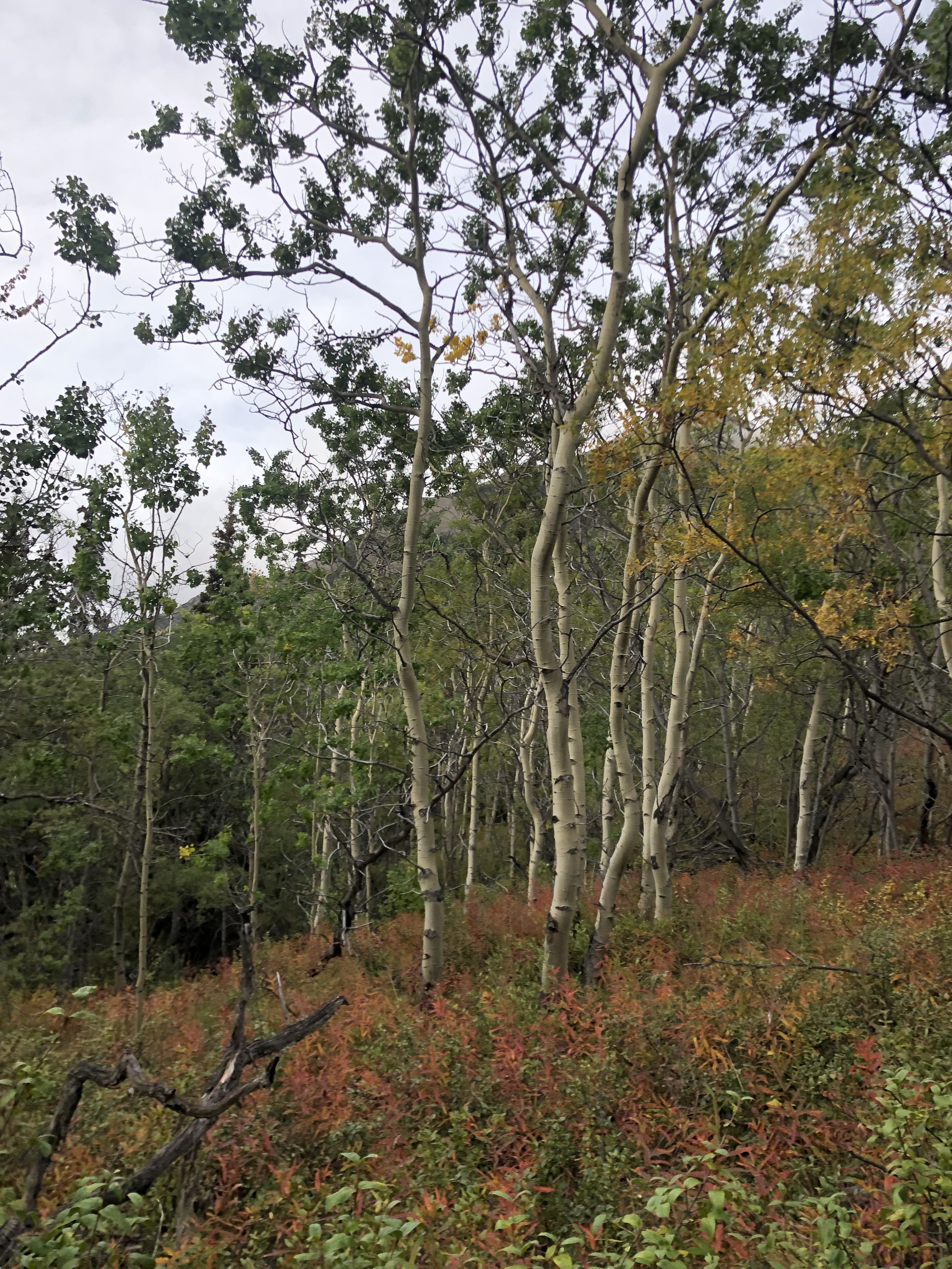
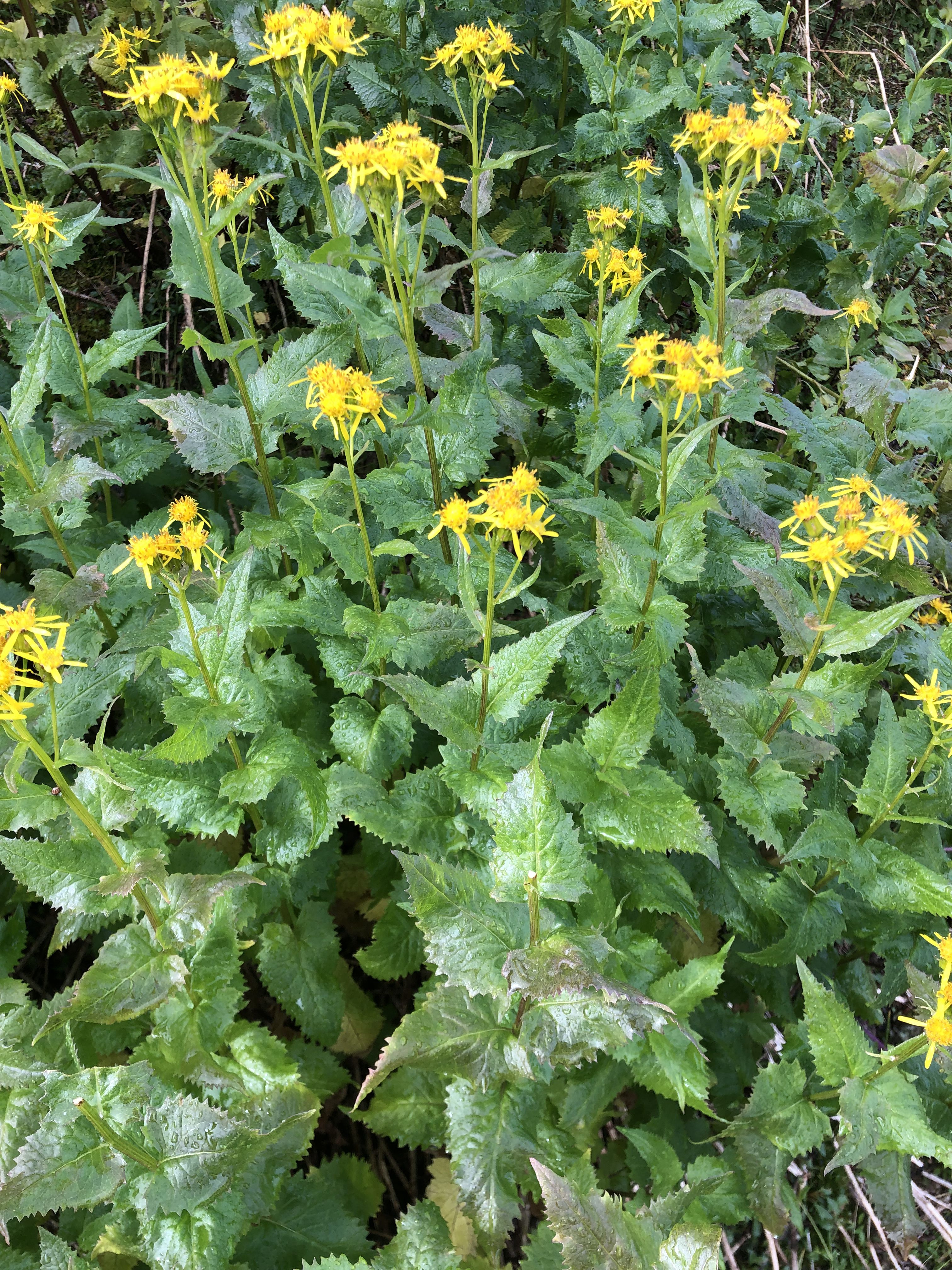
Some flowering plants are still around.
Wonderful rainbows appeared when the rain stopped for a while.
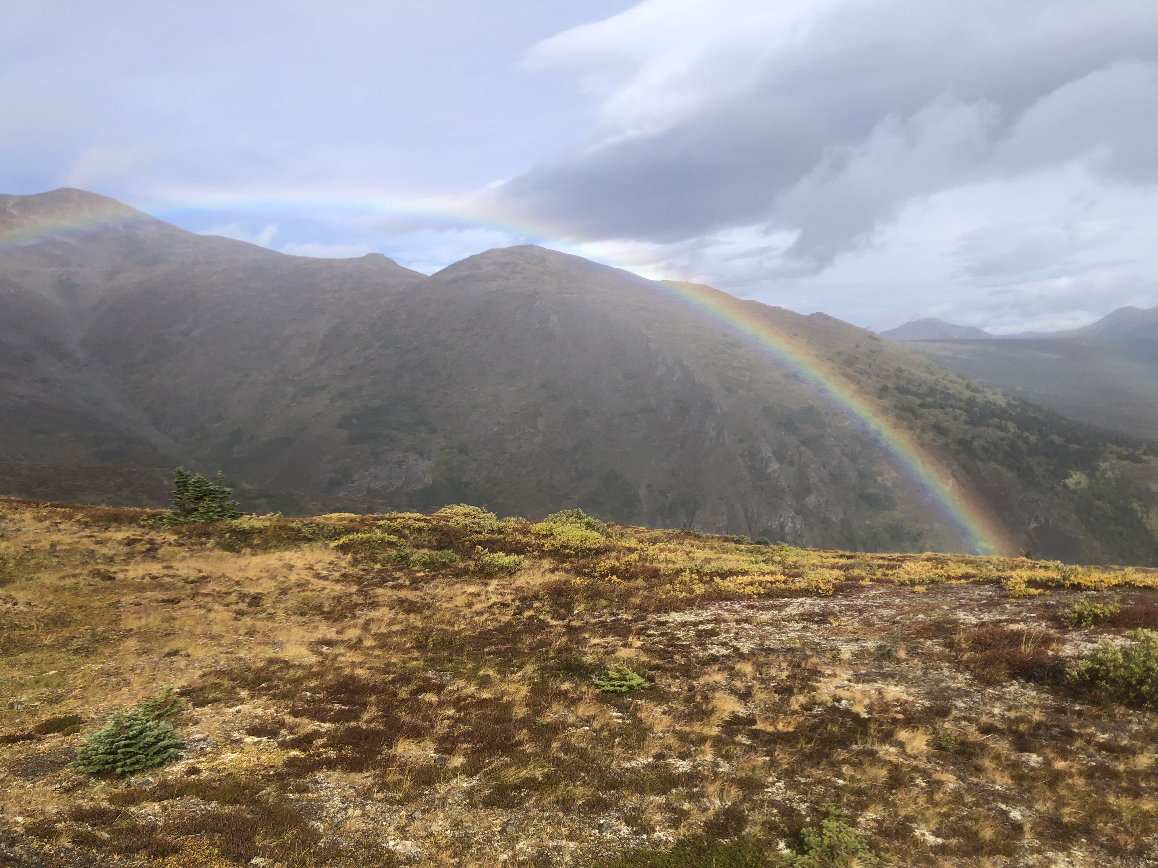
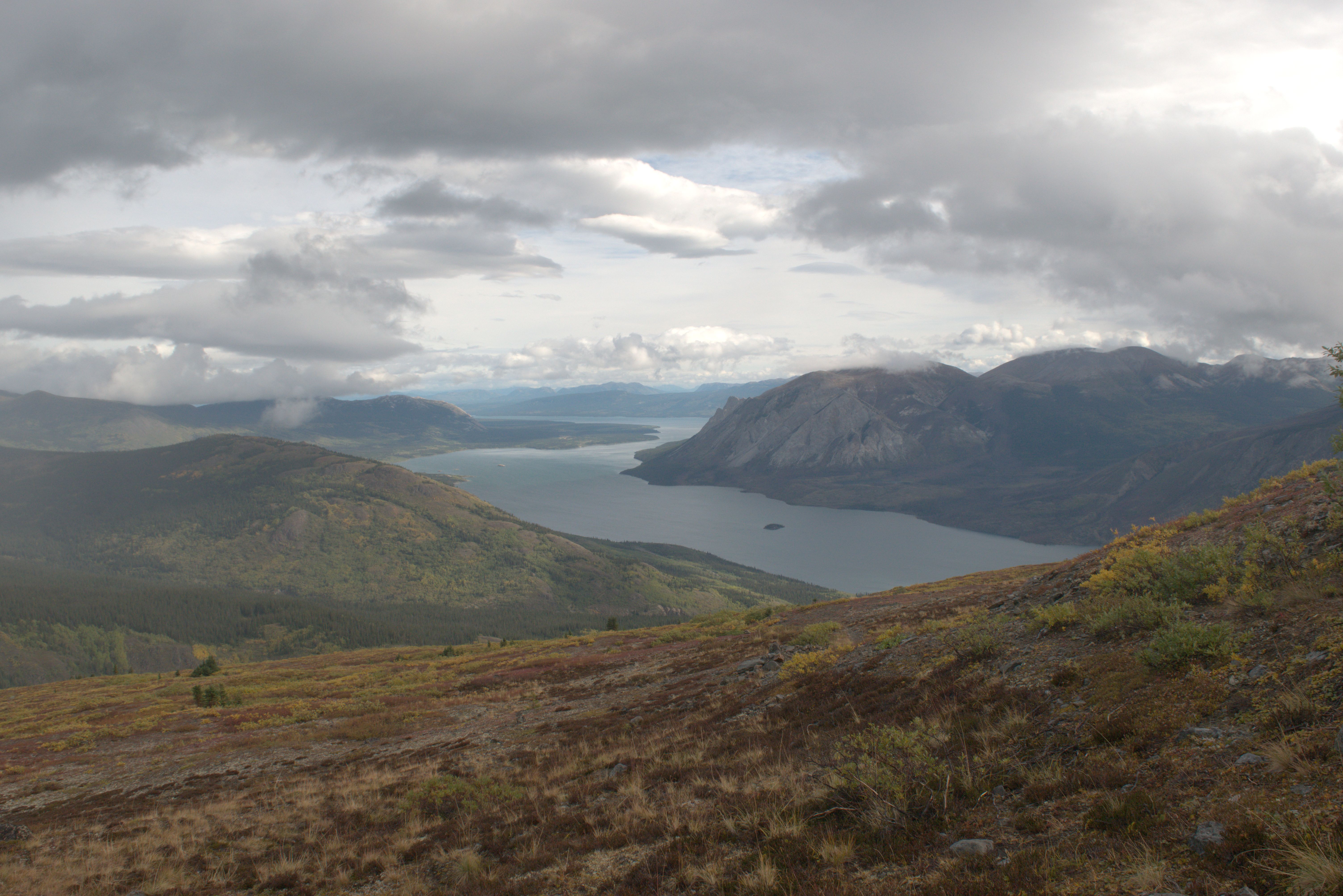
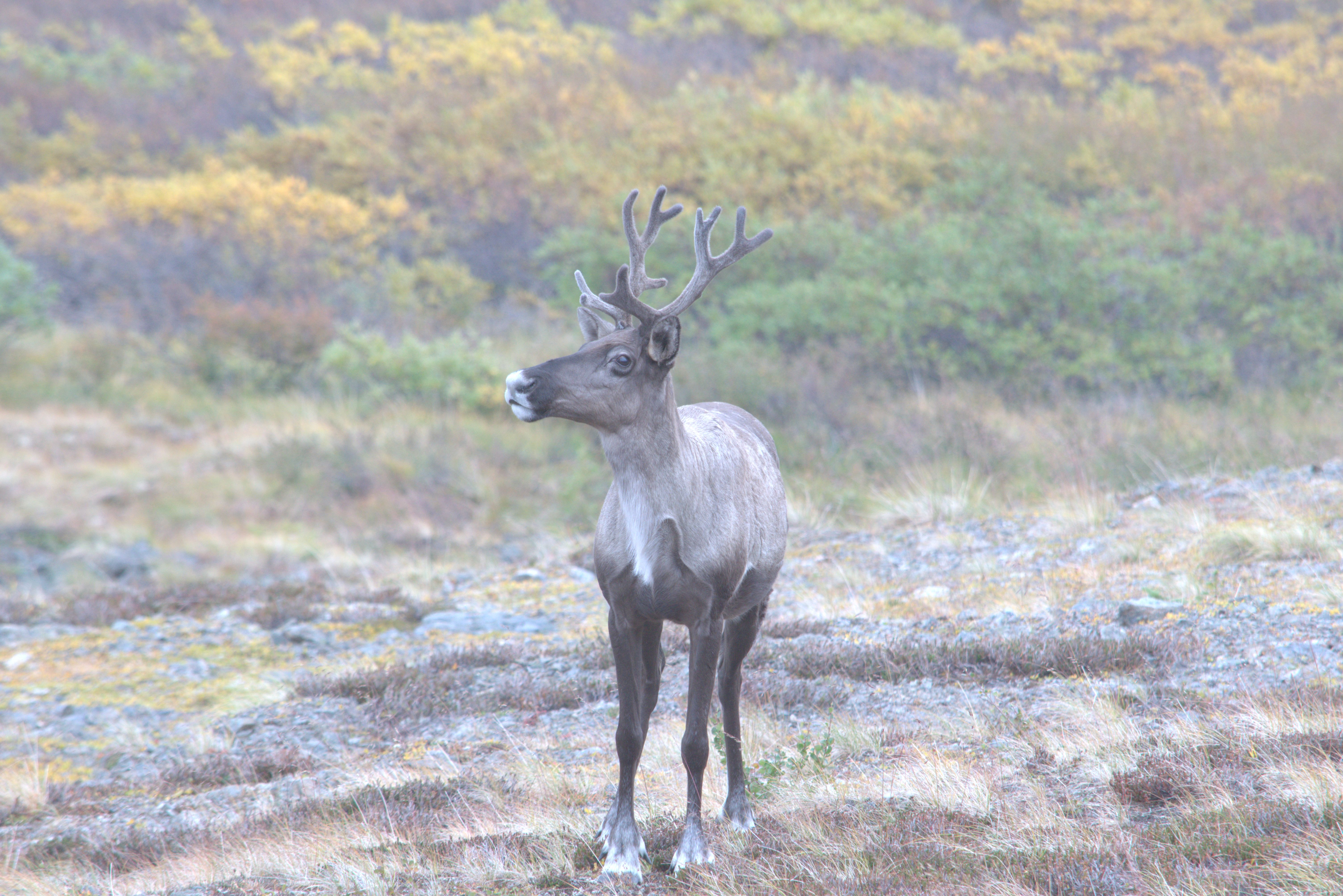
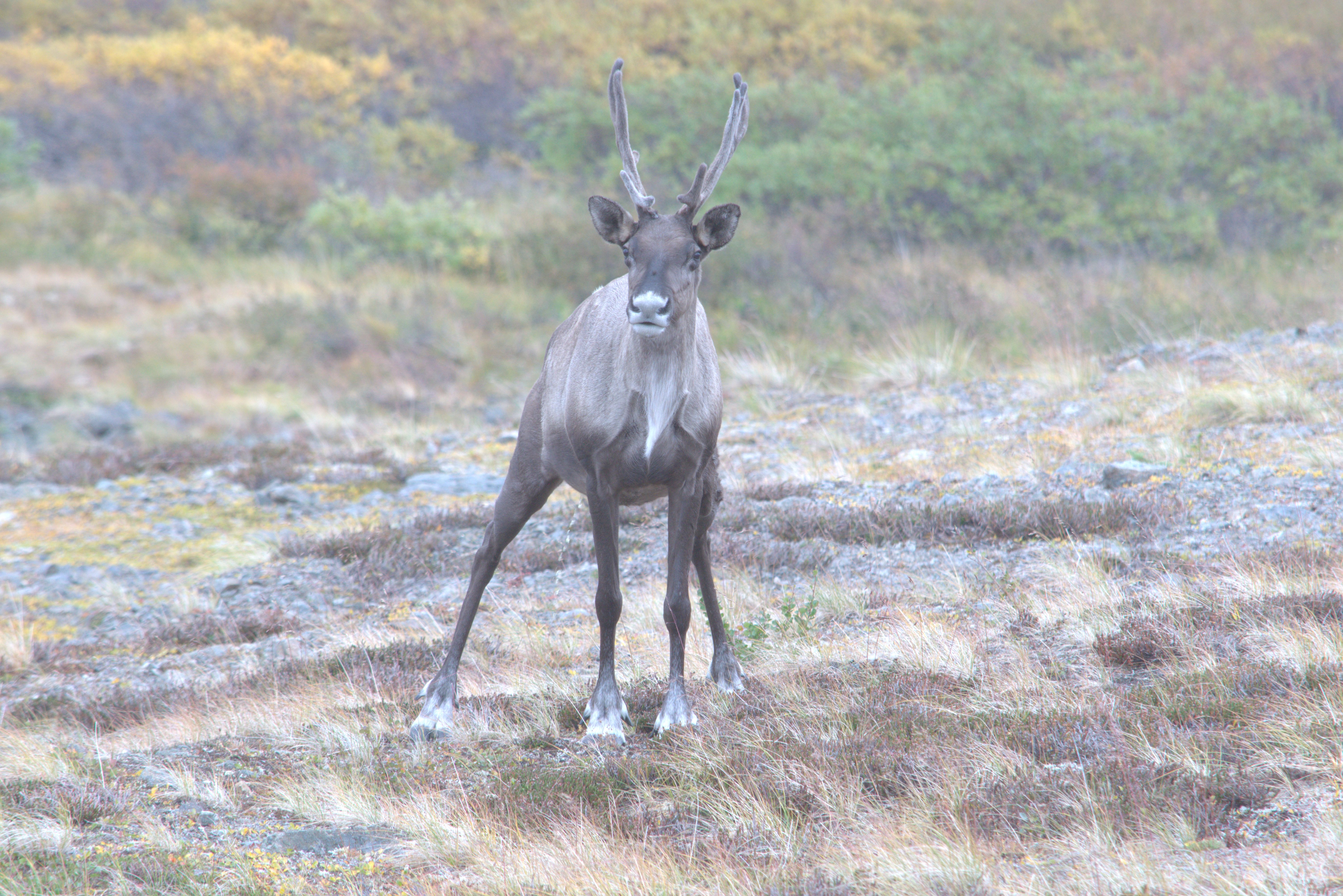
A caribou came over the ridge to visit.
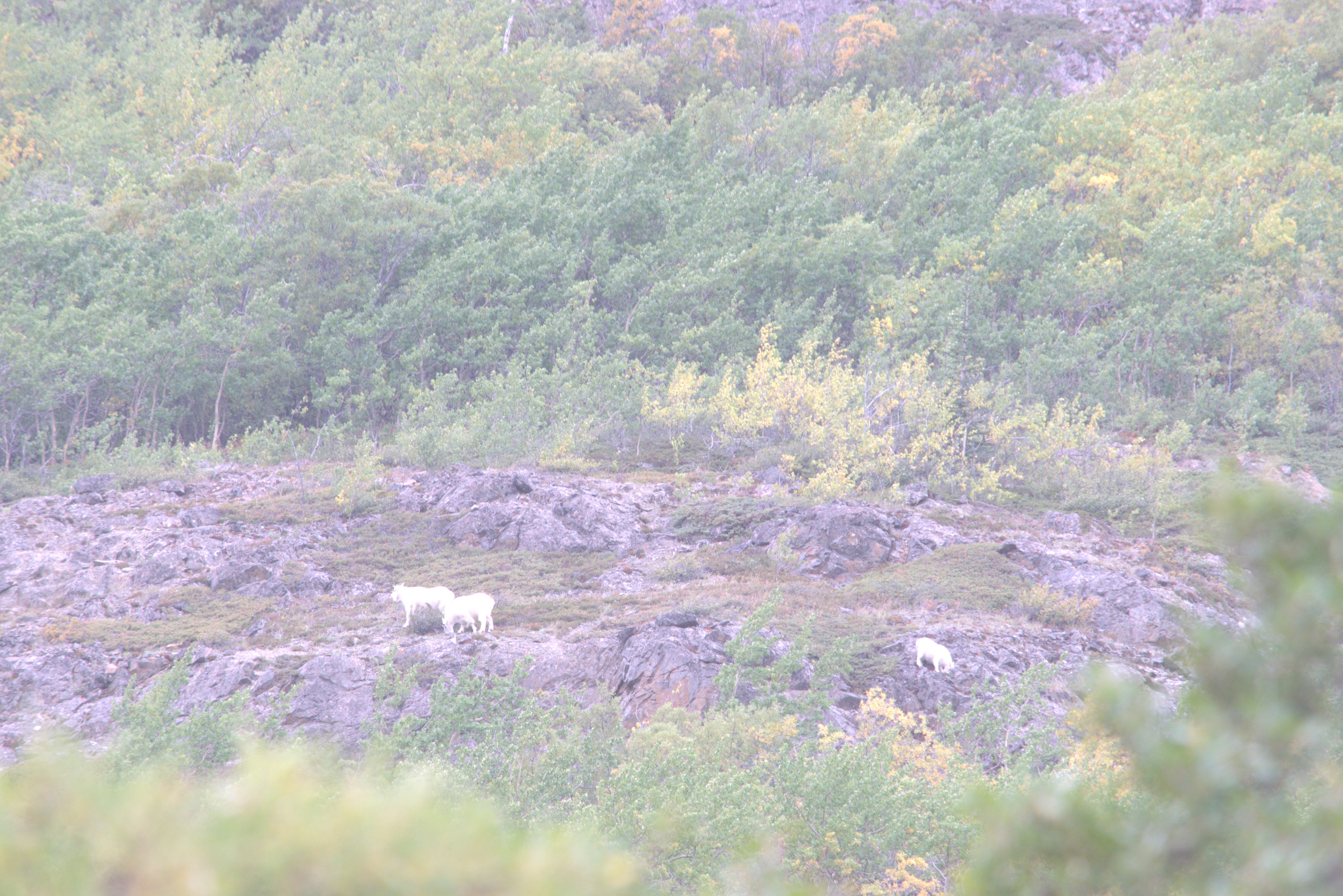
On the return trip, I spotted some Mountain Goats. Mountain goats are not true goats; they are as closely related to muskoxen as they are to goats.
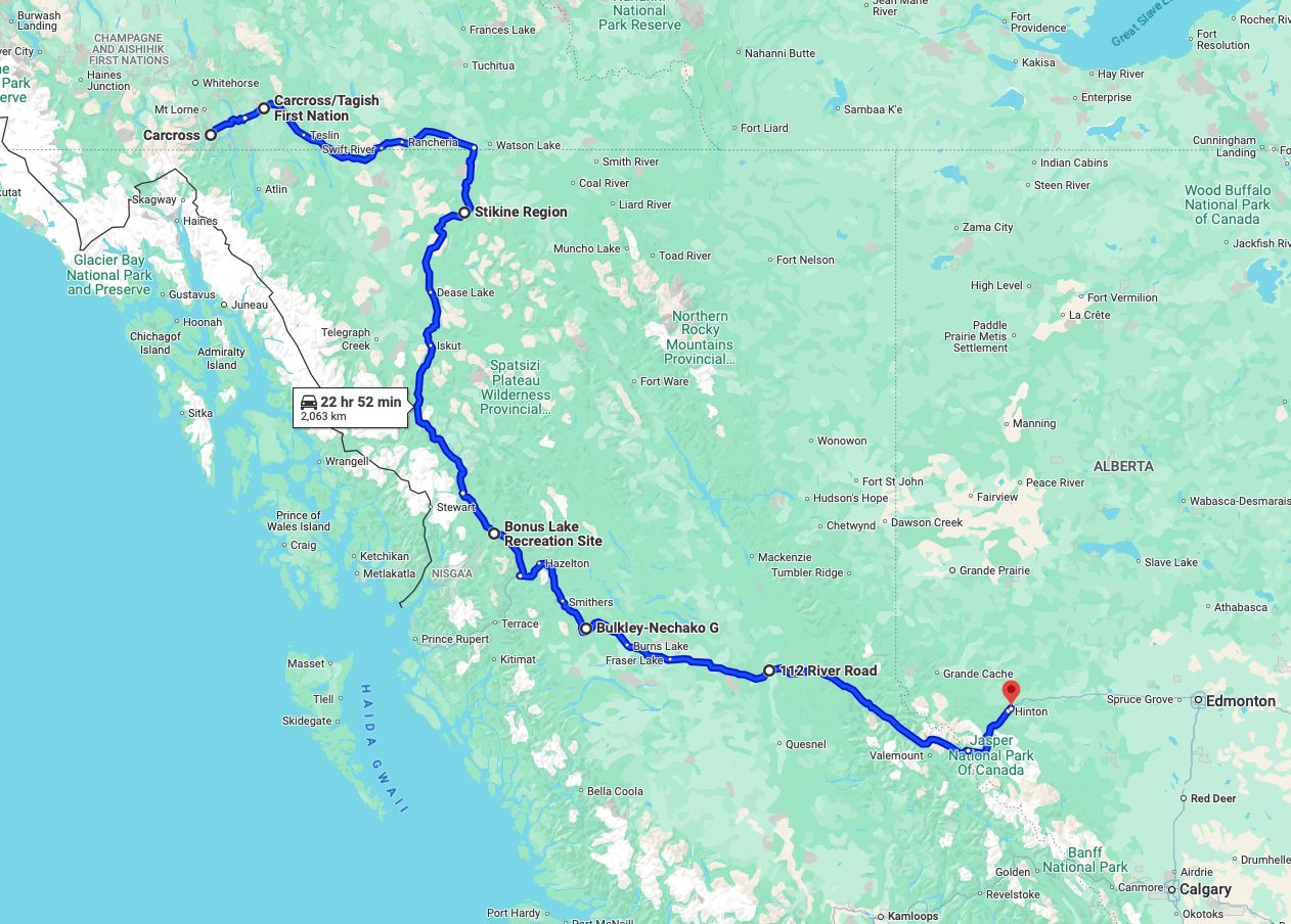
After returning from the hike on Montana Mountain, I started the trip back home, traveling from Carcross towards Tagish and Jakes Corner, where the side road joins the Alaska Highway.
In the evening of September 5th, I camped at Marsh Lake near the Alaska Hwy.
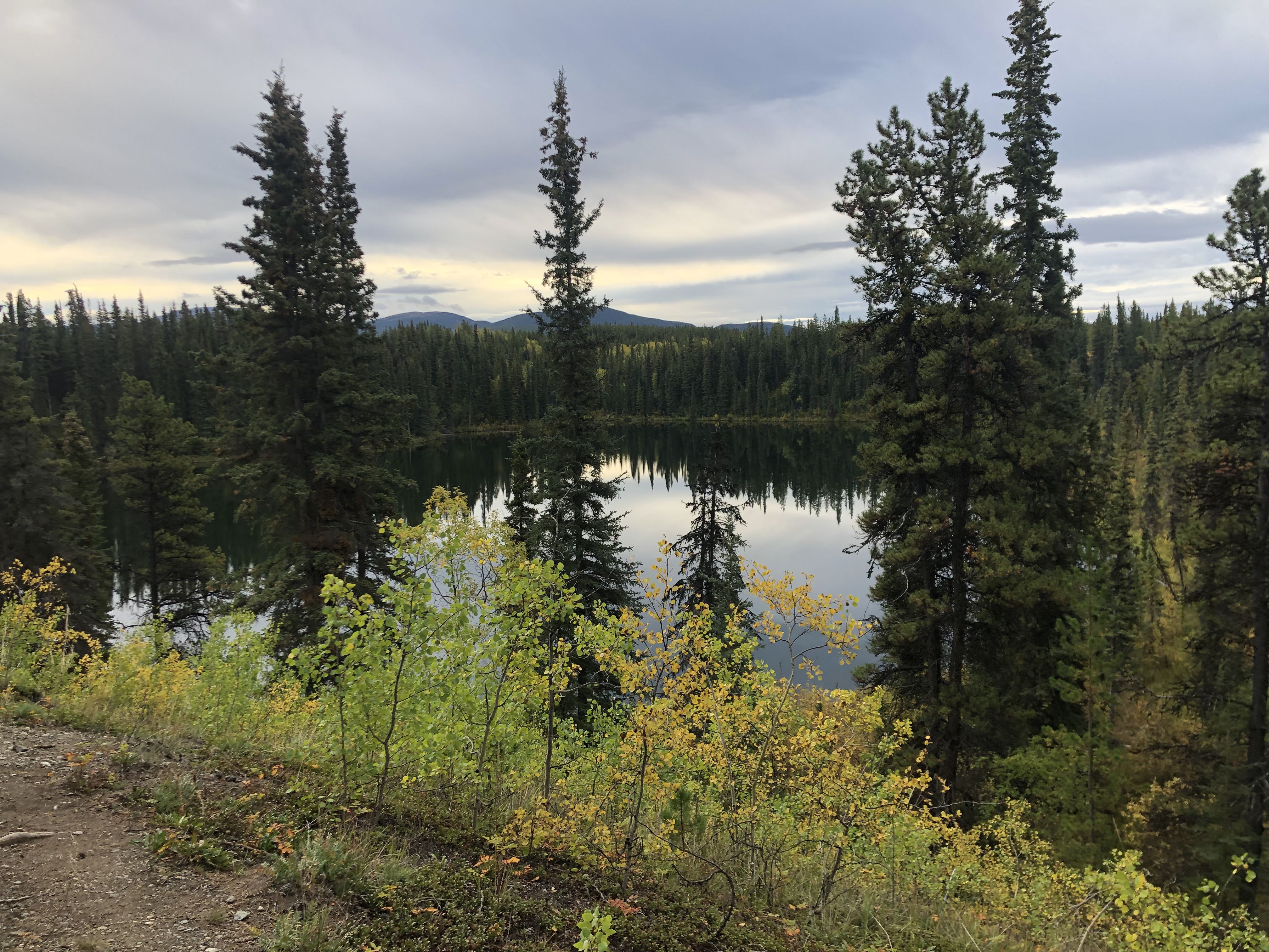
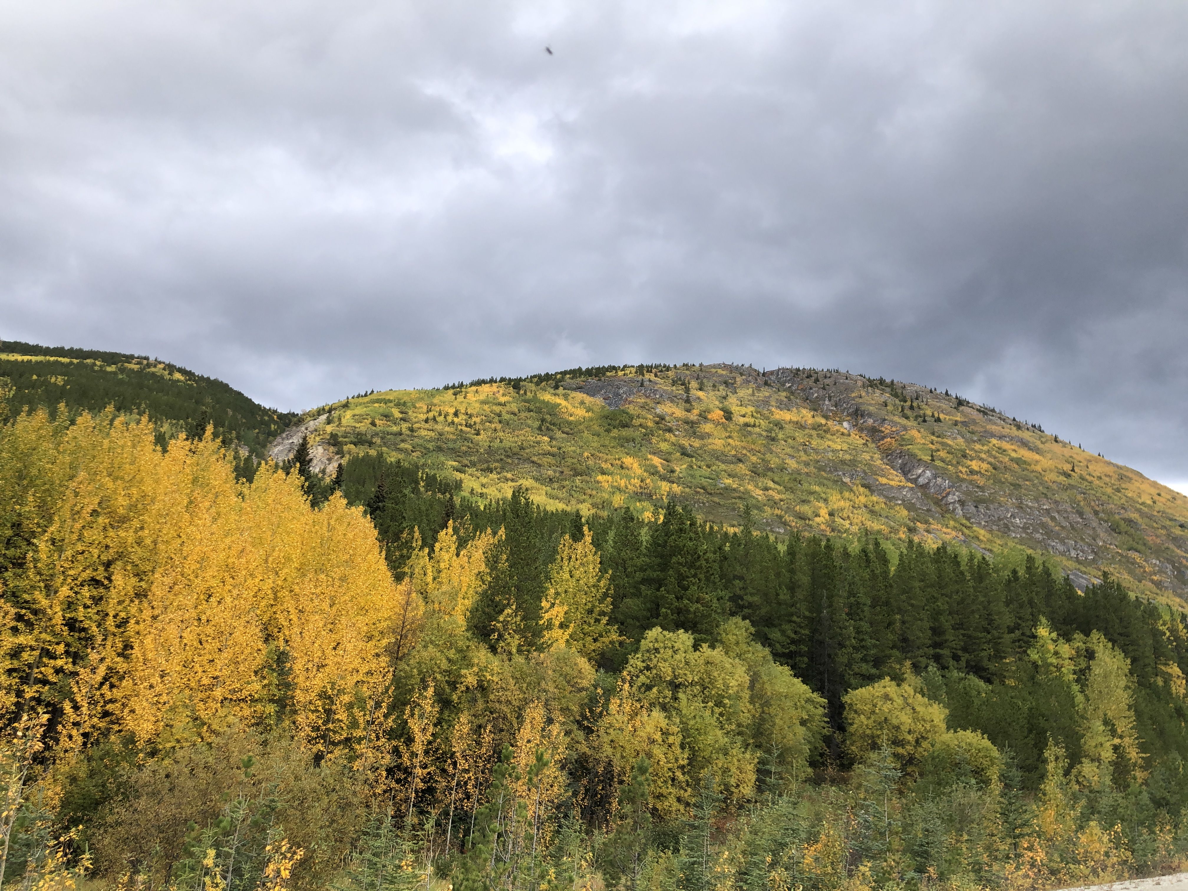
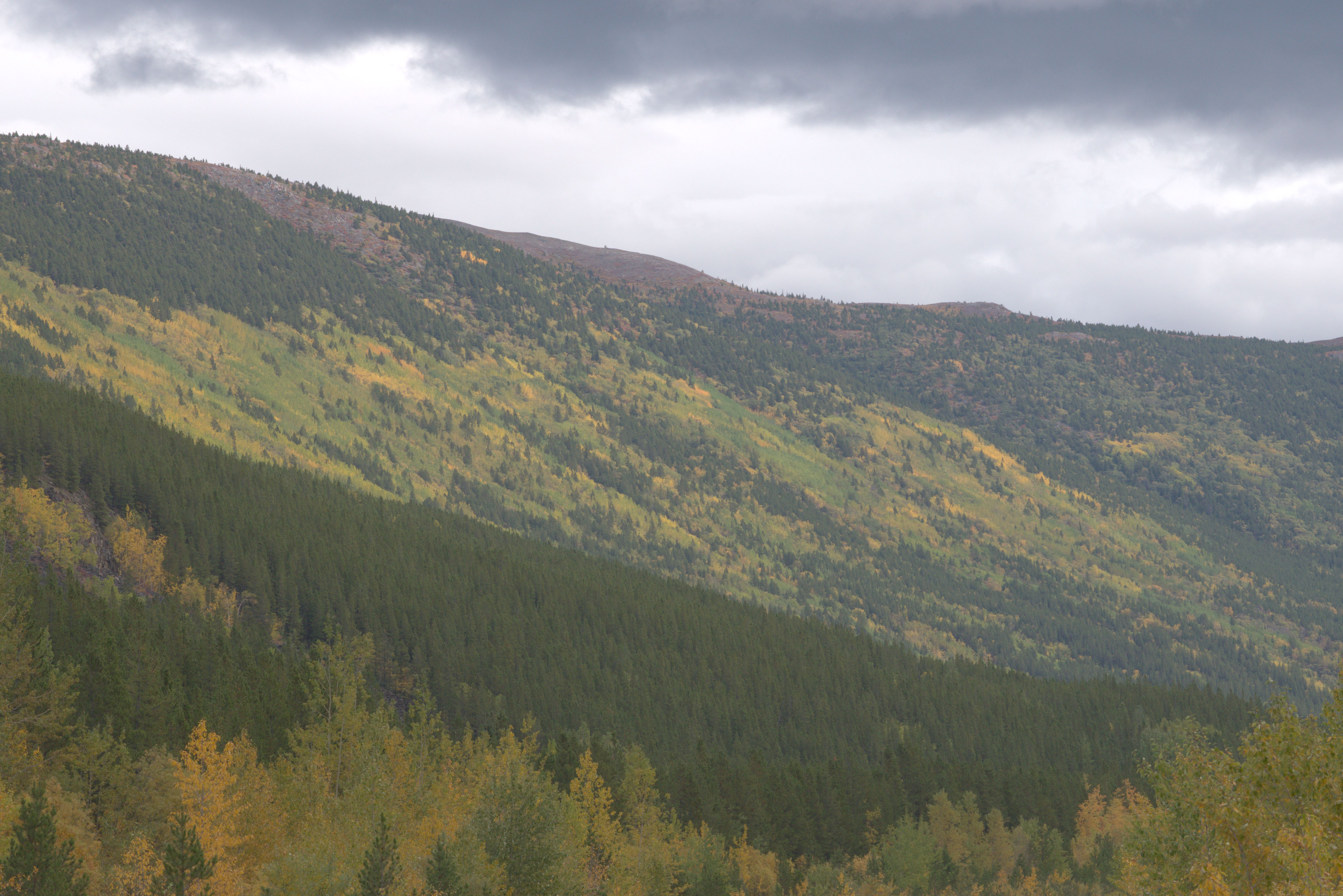
The next morning, I continued traveling through the fall landscape along the Alaska Hwy. The hillsides past Rancheria on the Alaska Hwy, a motel with a restaurant and campground on the Rancheria River, displayed spectacular fall colors.
Just before the Alaska Hwy crosses the Liard River, the Dease Lake Hwy, also called the Stewart-Cassiar Hwy (BC Hwy 37), turns off to the south. A motel, restaurant, and guesthouse are at the crossing, named Baby Nugget. I visited the restaurant, hoping to get access to their internet, and ordered a nice-looking pie that was served with ice cream. No luck getting internet access, but the pretty good-tasting pie turned out to be the most expensive slice of pie I’ve ever had.
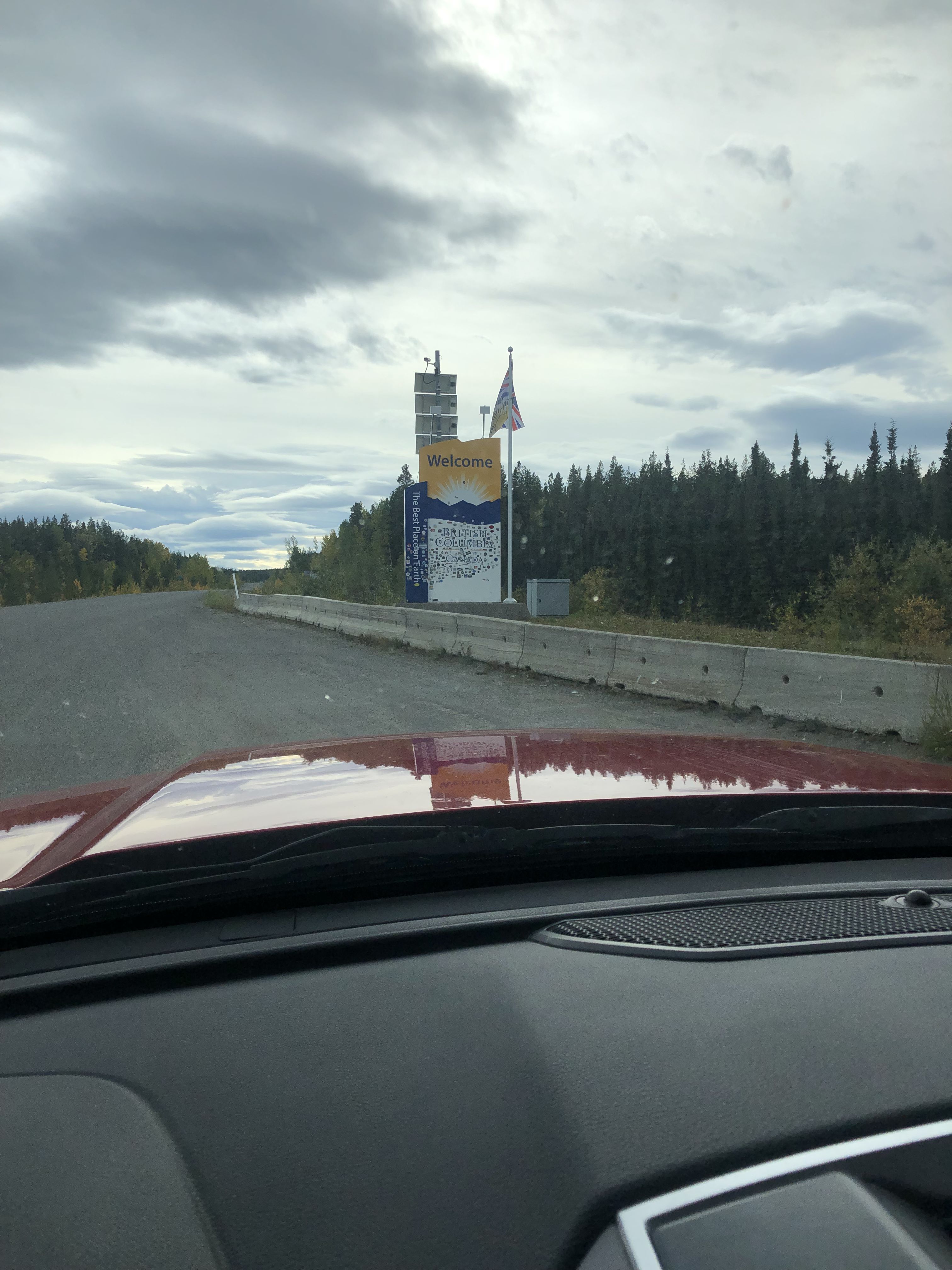
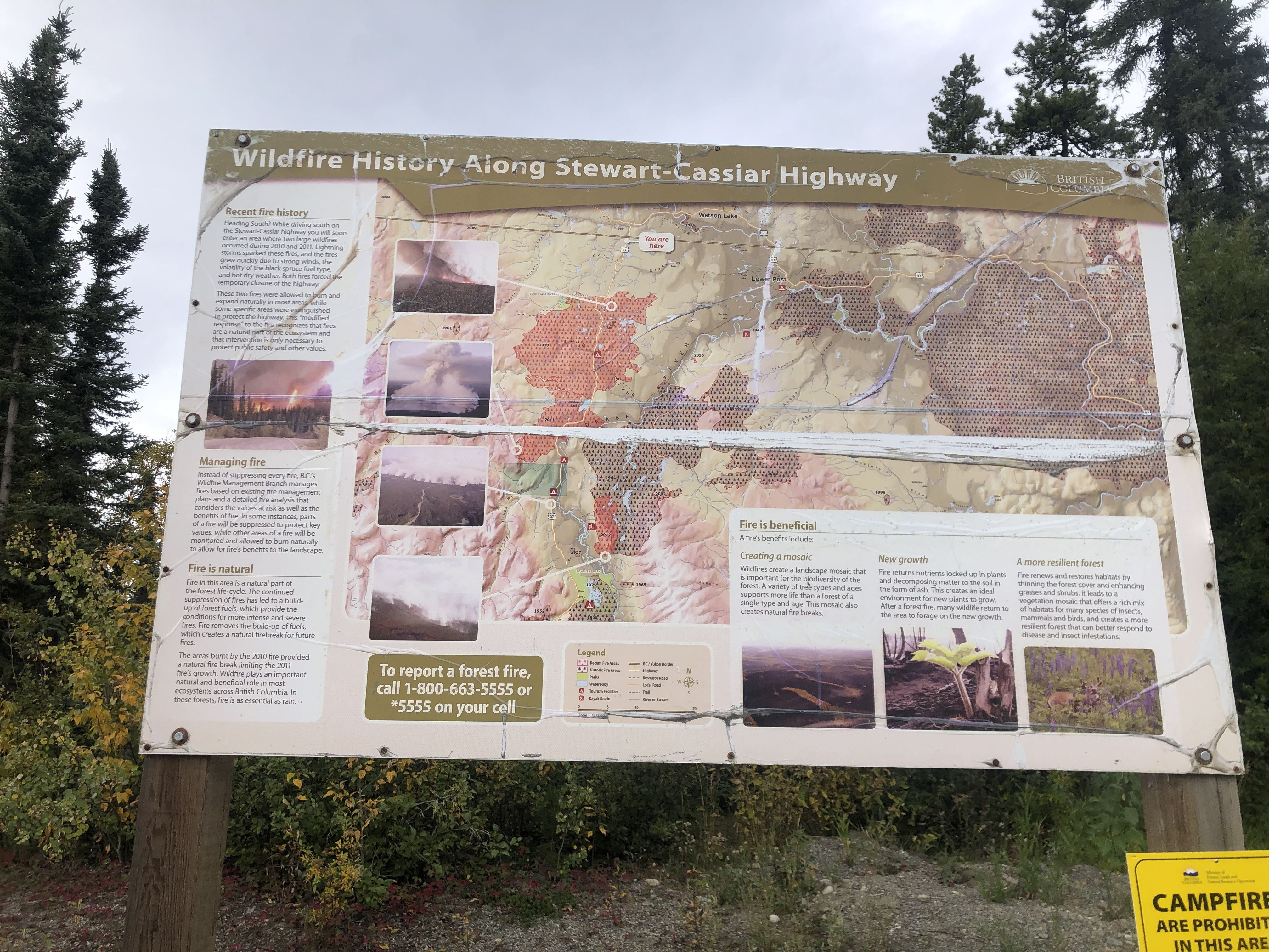
The Stewart-Cassiar Hwy turned out to be a small, meandering road that winds through hilly country, interrupted by flatter landscapes with lakes and bogs. Many wildfires have impacted the region in the past, and the marks are clearly visible. Depending on how much time has passed, the vegetation is in various stages of recovery. It’s fascinating to see this while slowly driving through the landscape.
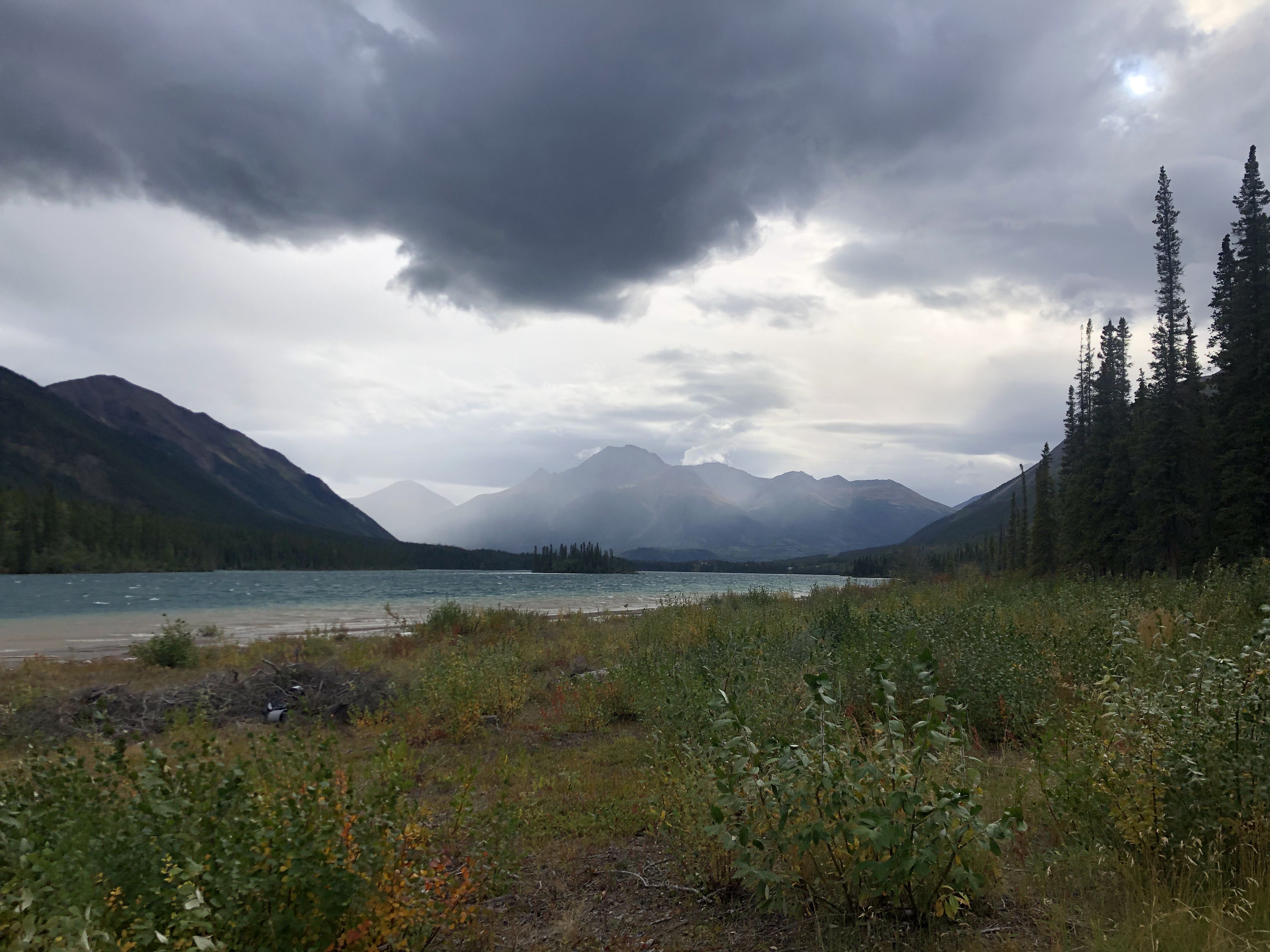
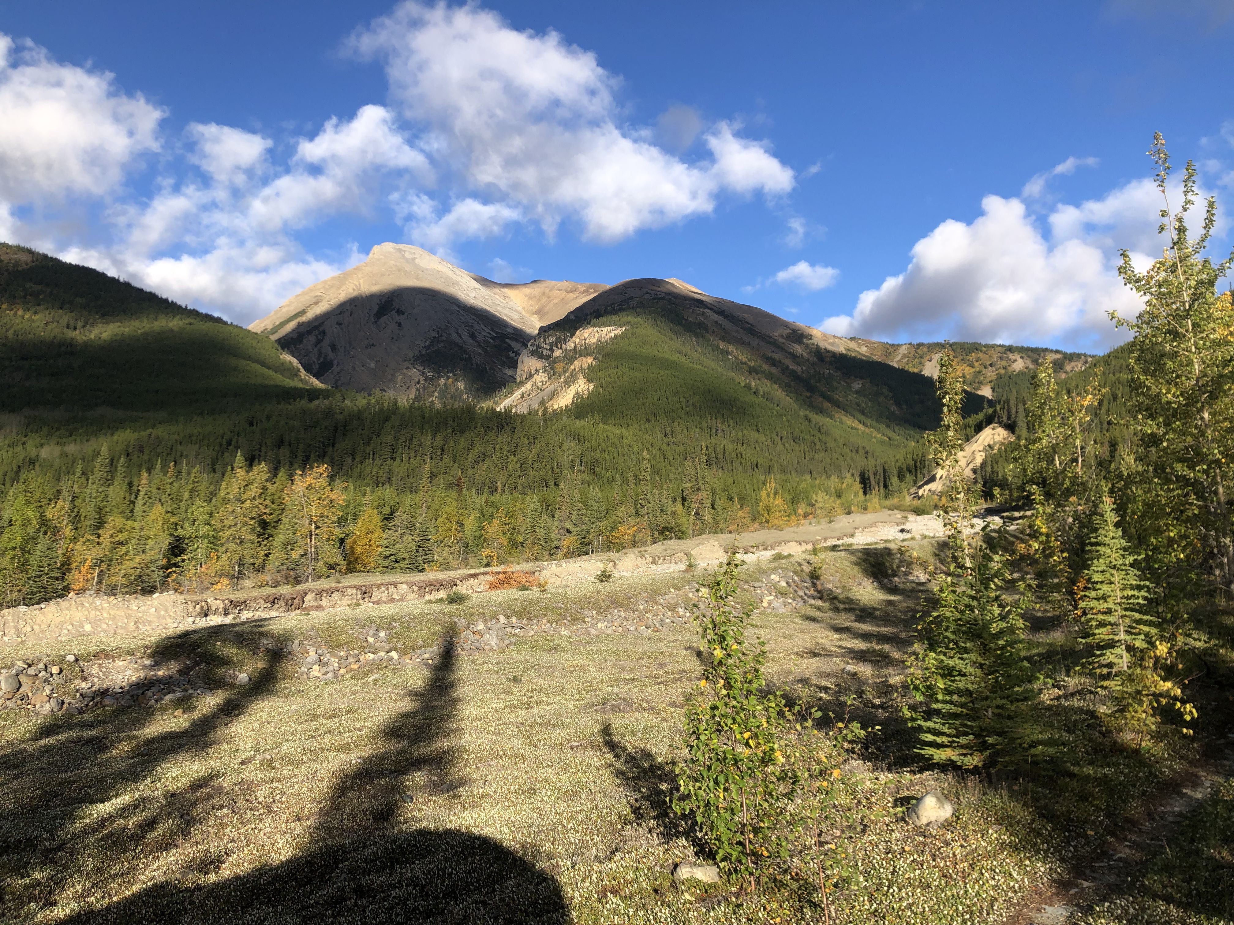
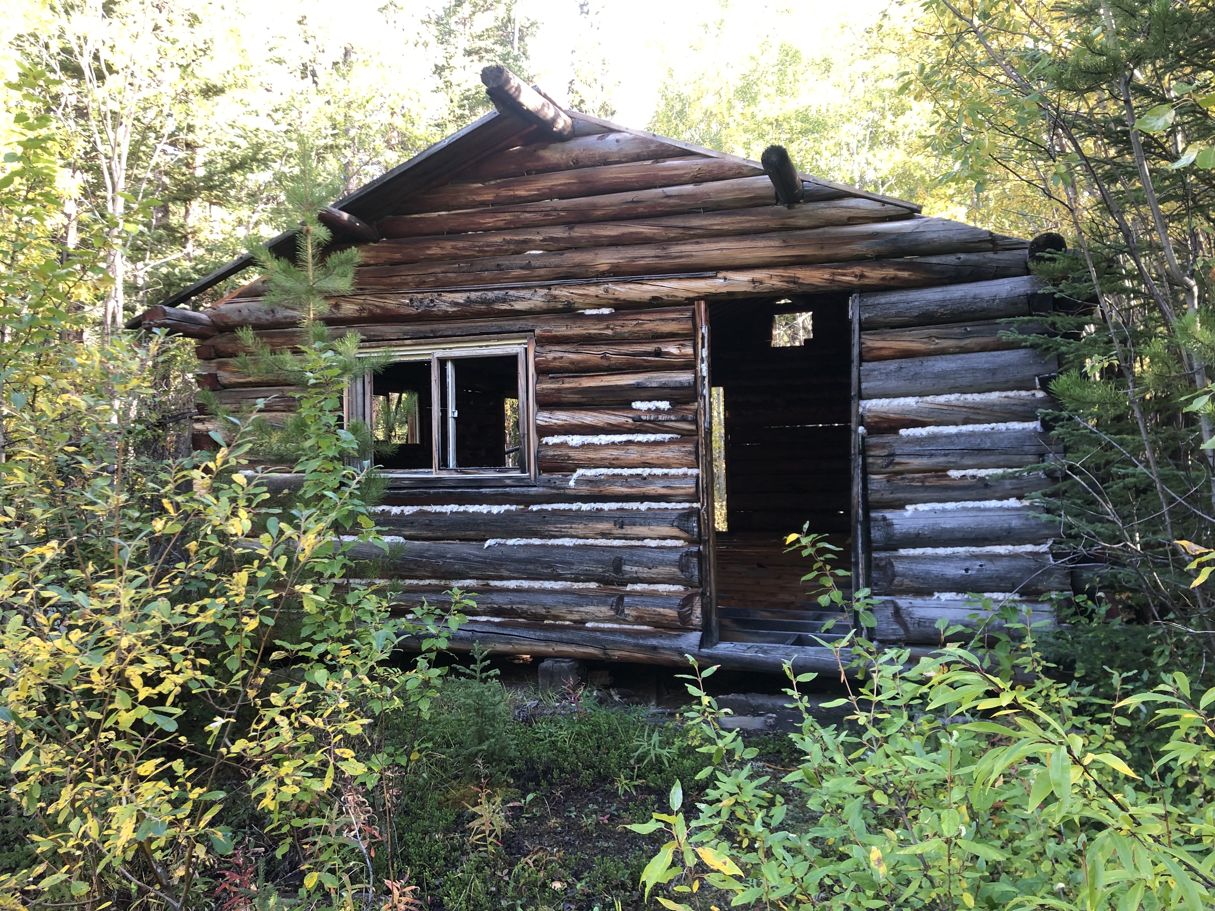
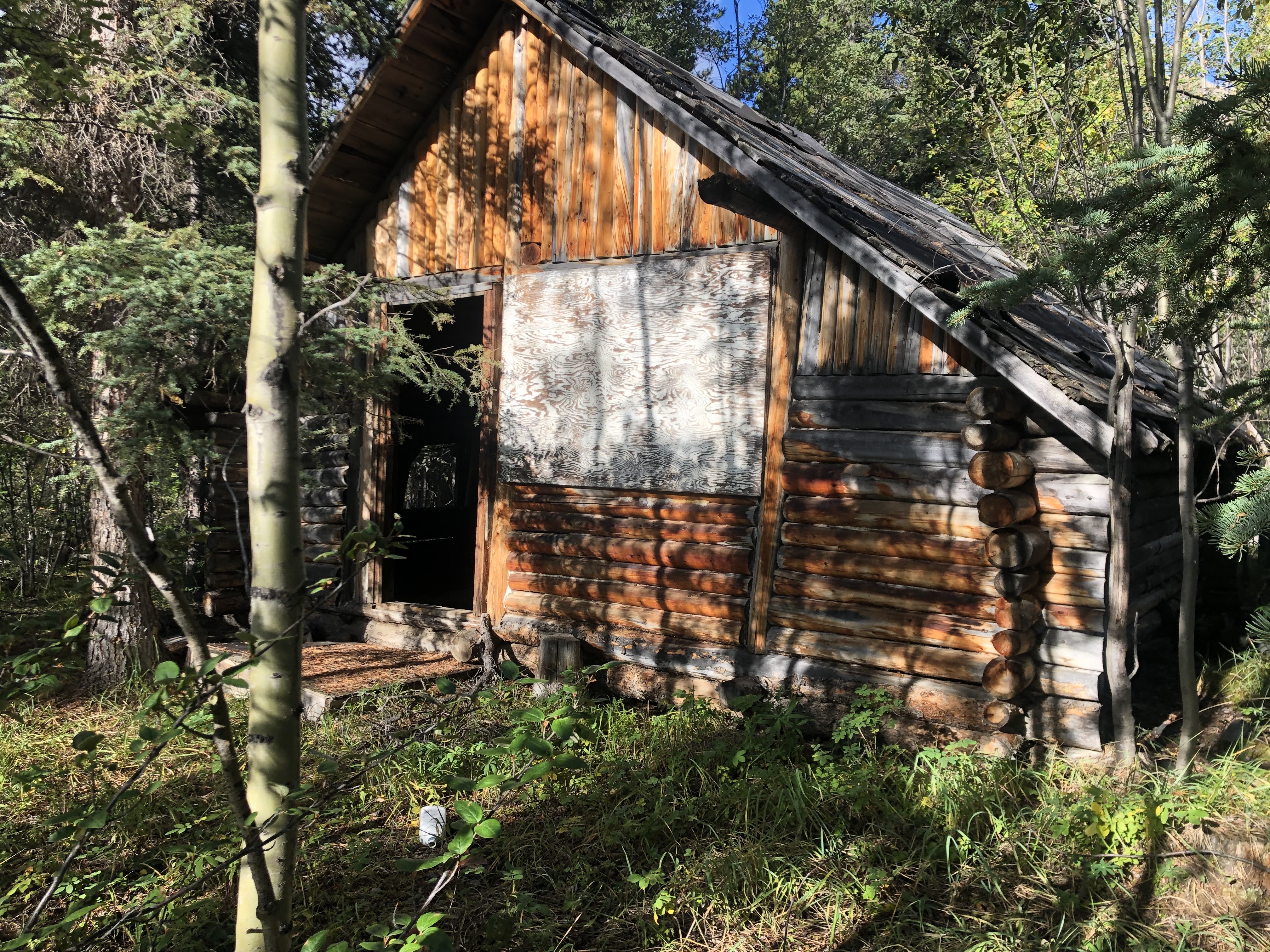
On a walk the next morning, I found an old cabin situated just above the place where I stayed for the night.
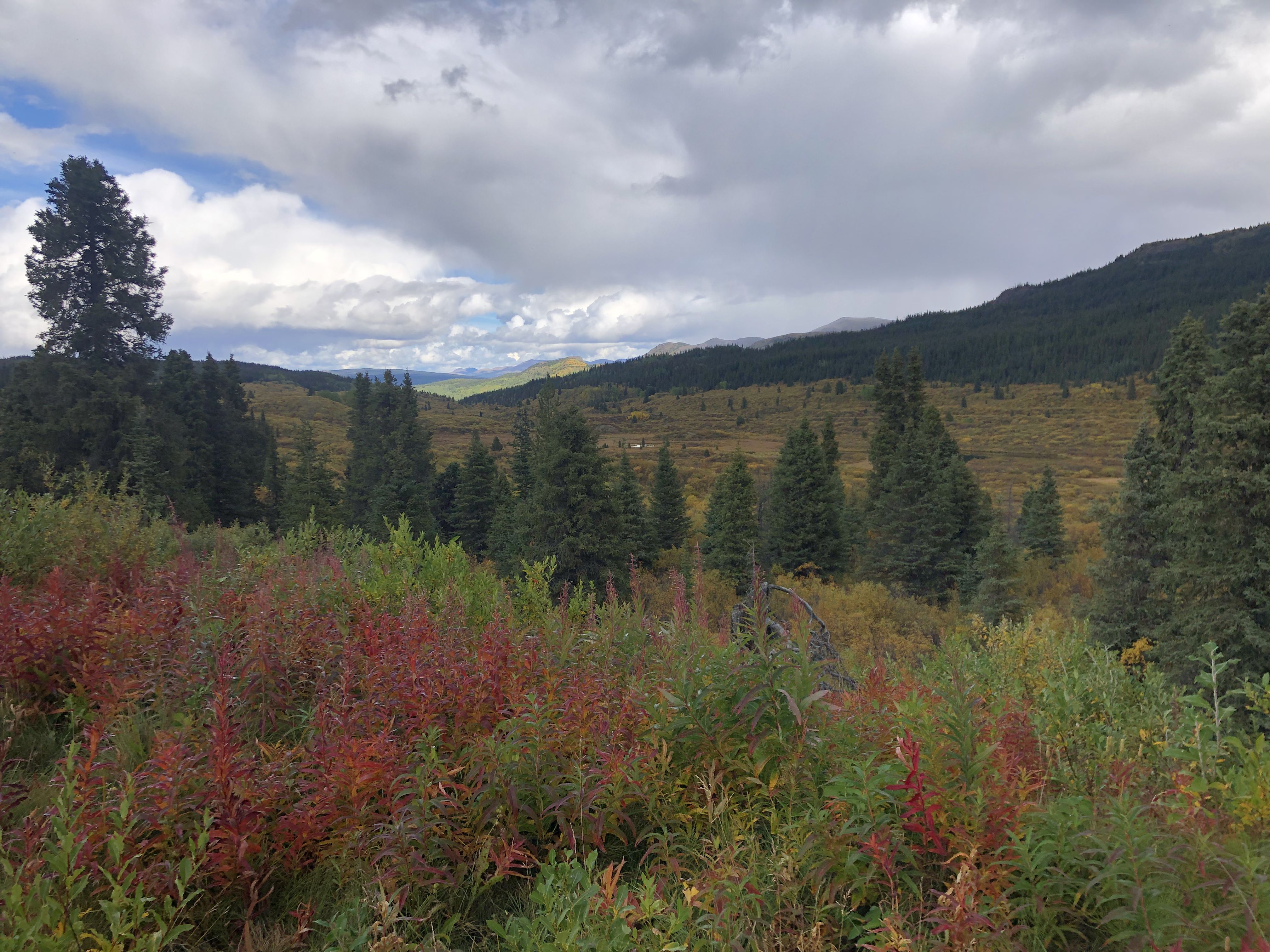
After the settlement of Dease Lake, the road goes over a pass, where it meets a railway. These higher grounds resemble the Yukon landscapes much more compared to the woodland I had seen since entering BC.
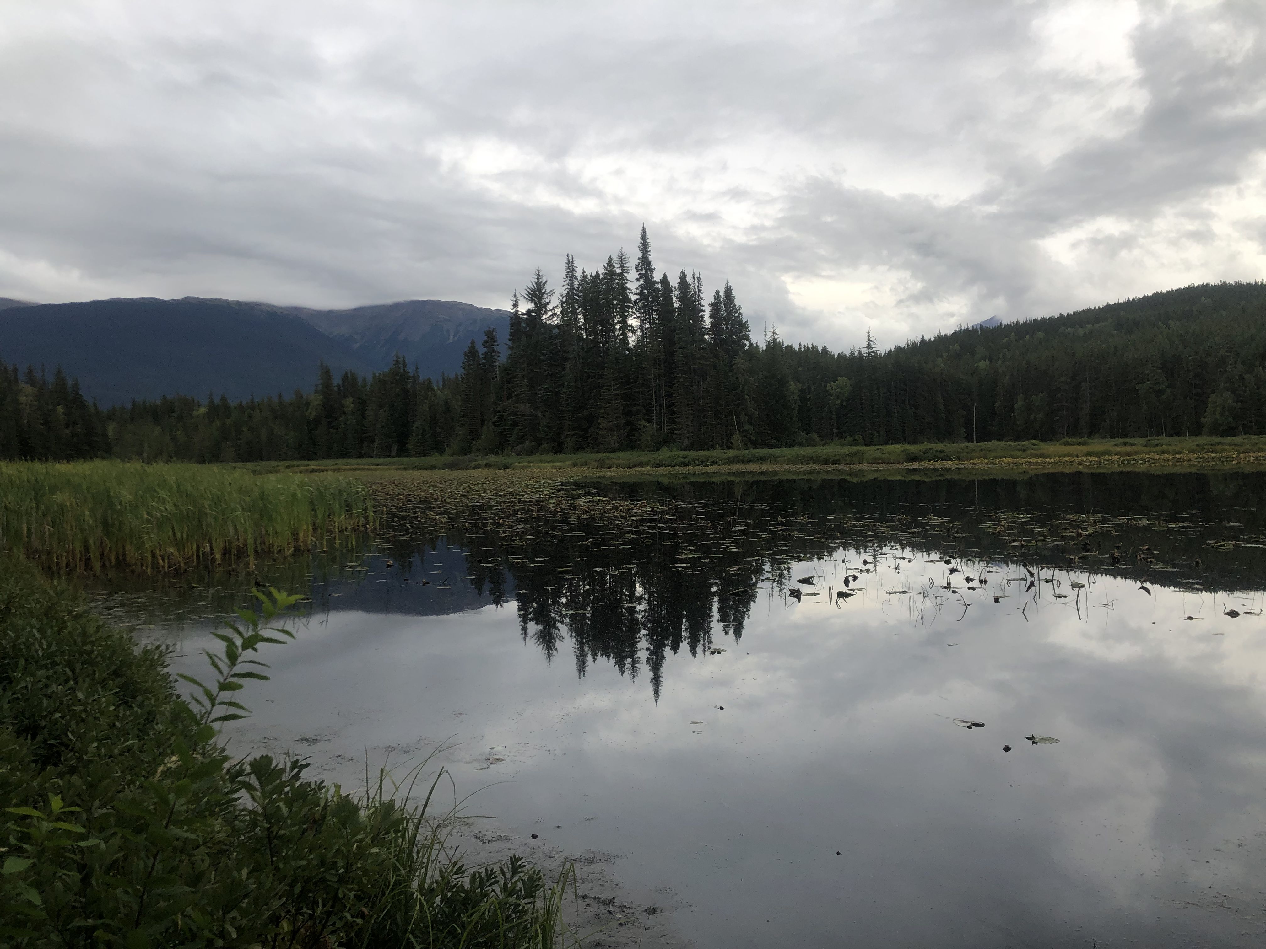
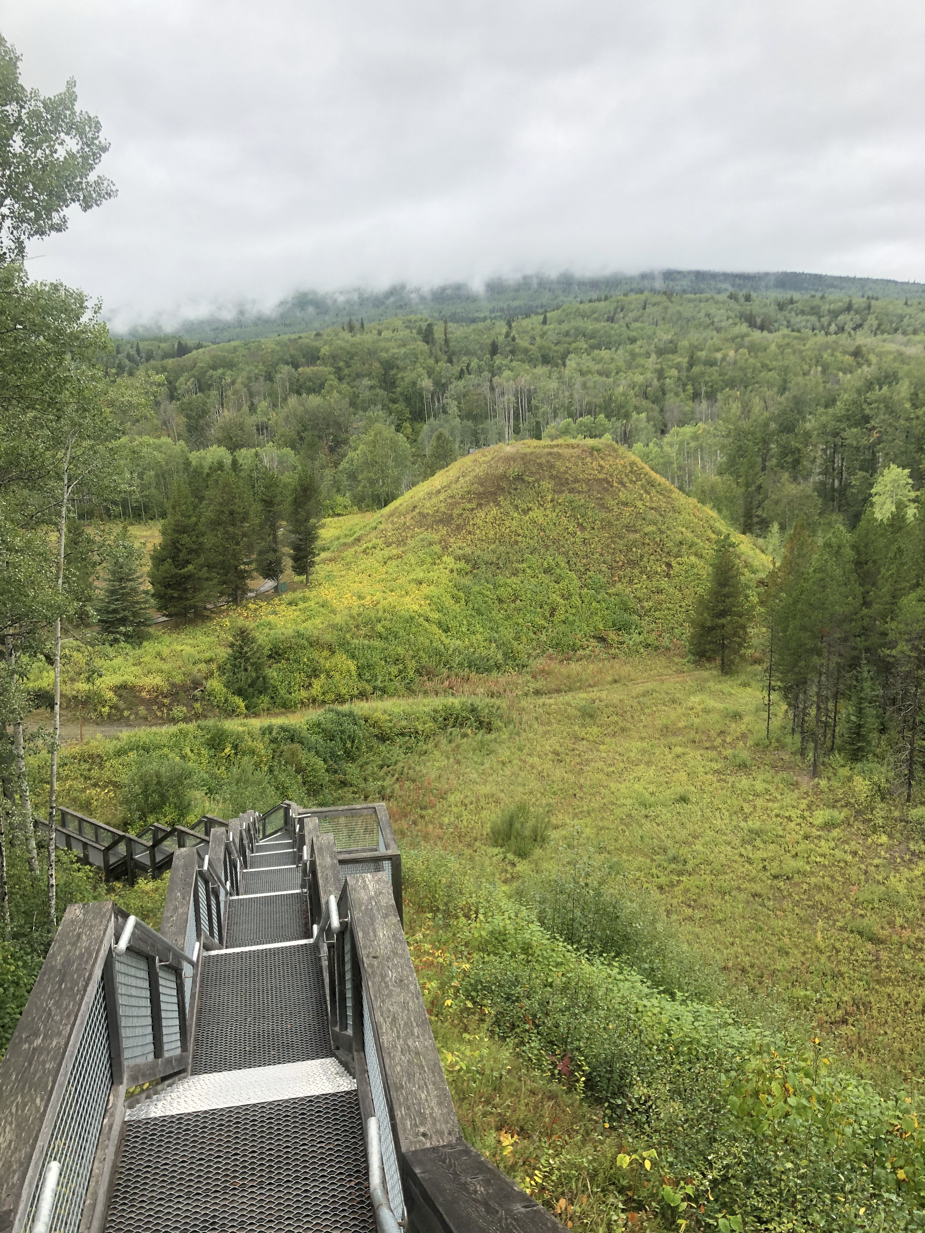
Continuing on Hwy 37, the First Nations community of Kitwanga eventually comes into view. This marks the end of Hwy 37. Outside of Kitwanga is the historic site Battle Hill located.
After Kitwanga, I followed the Yellowhead Hwy towards the east. The next day, I planned to visit the Northern Lite dealer in Houston, BC.
For the night, I found a spot on a hill northeast of Houston in a recreational area with hiking and mountain bike trails.
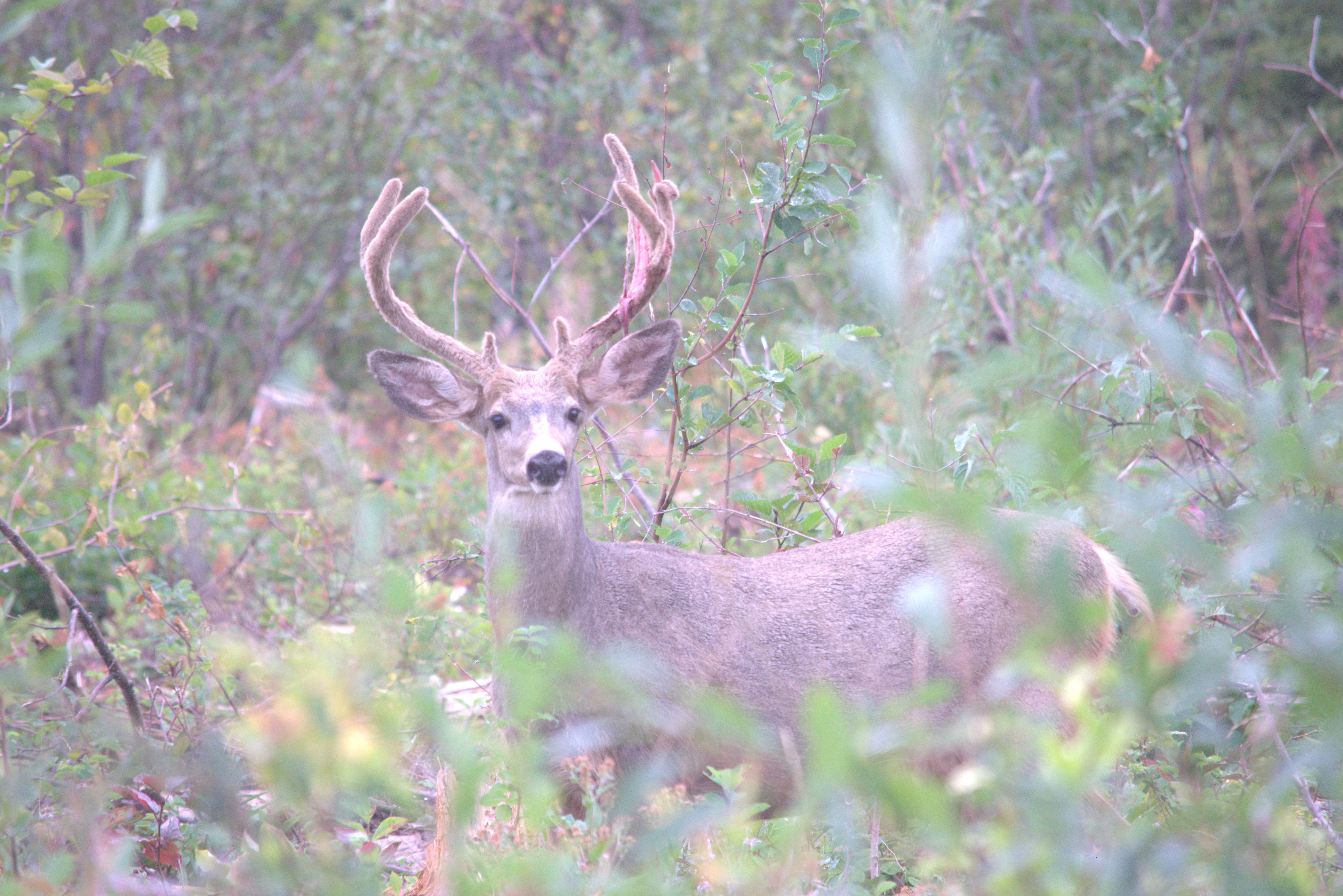
On the way up, a deer stood in a clearing, its antlers stripped of their skin. It was striking how much more delayed the seasons were compared to Yukon.
At the Northern Lite repair shop, I had a very helpful conversation with a seasoned mechanic that boosted my confidence to try the required repair myself when I got back home.
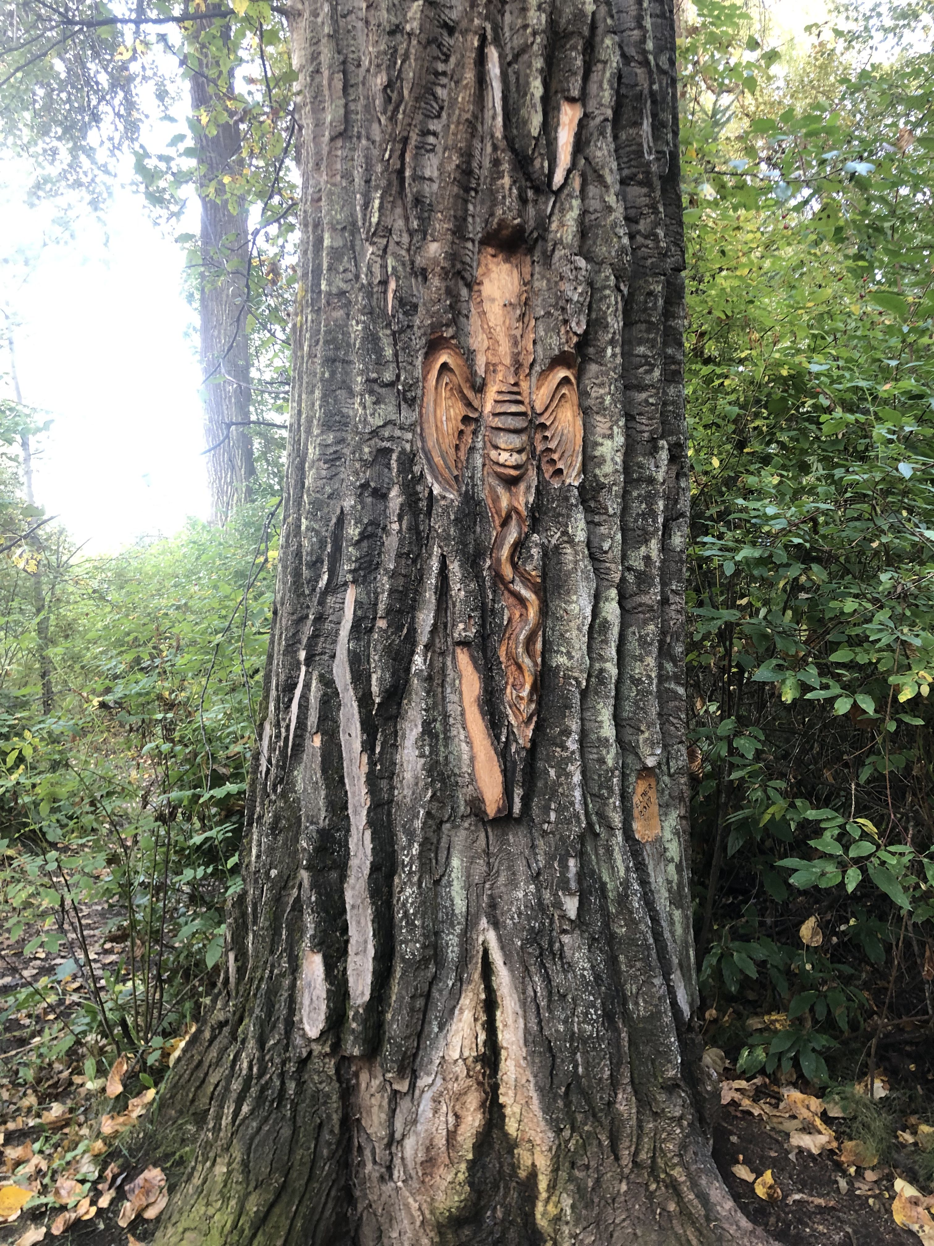
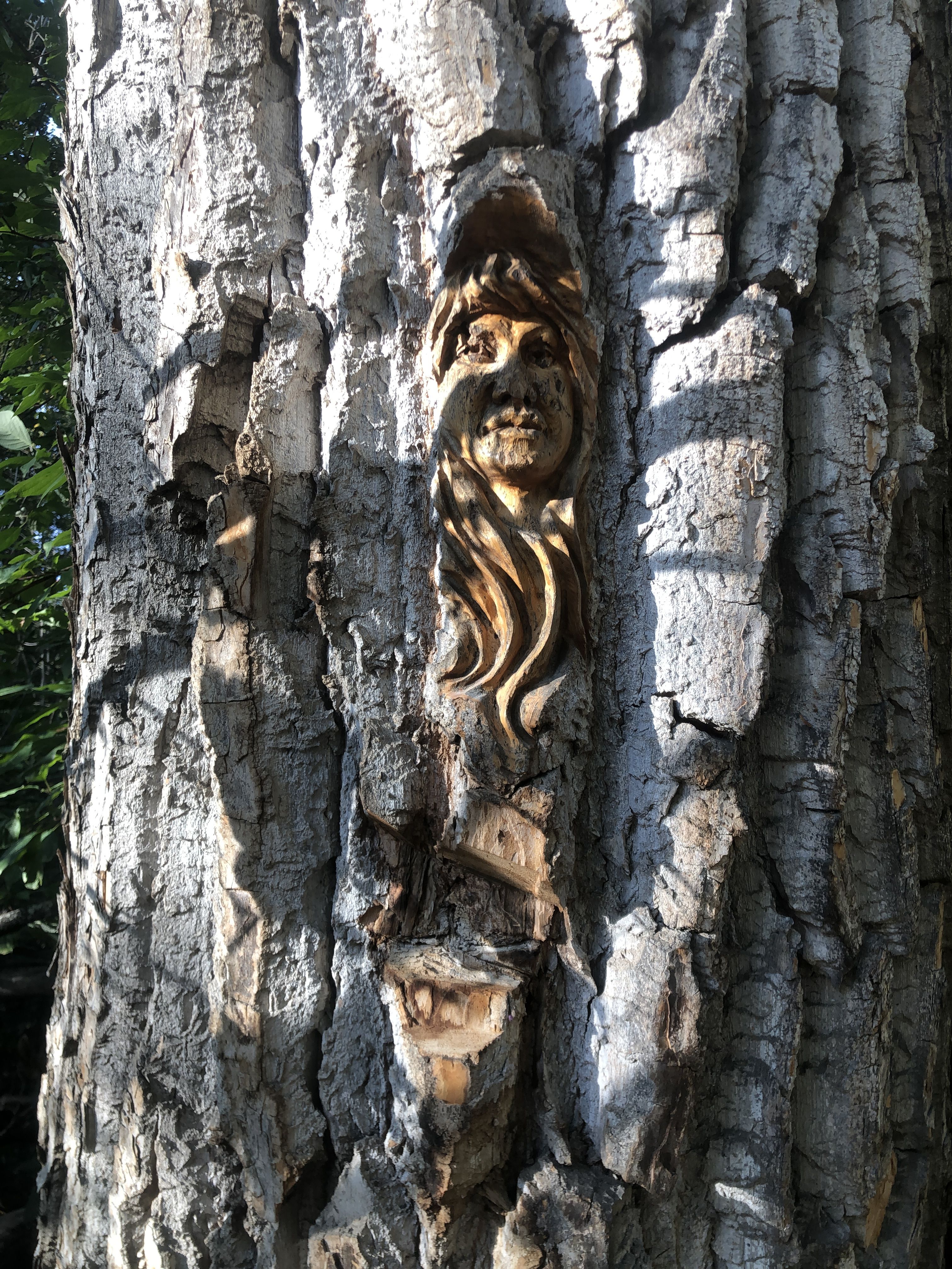
From Houston, I continued east towards Prince George. Here, I stayed overnight in Kiwanis Park by the shore of the Nechako River. This shoreline park is dominated by very tall and large poplar trees. A closer look reveals many impressive carvings in the thick bark of the cottonwoods.
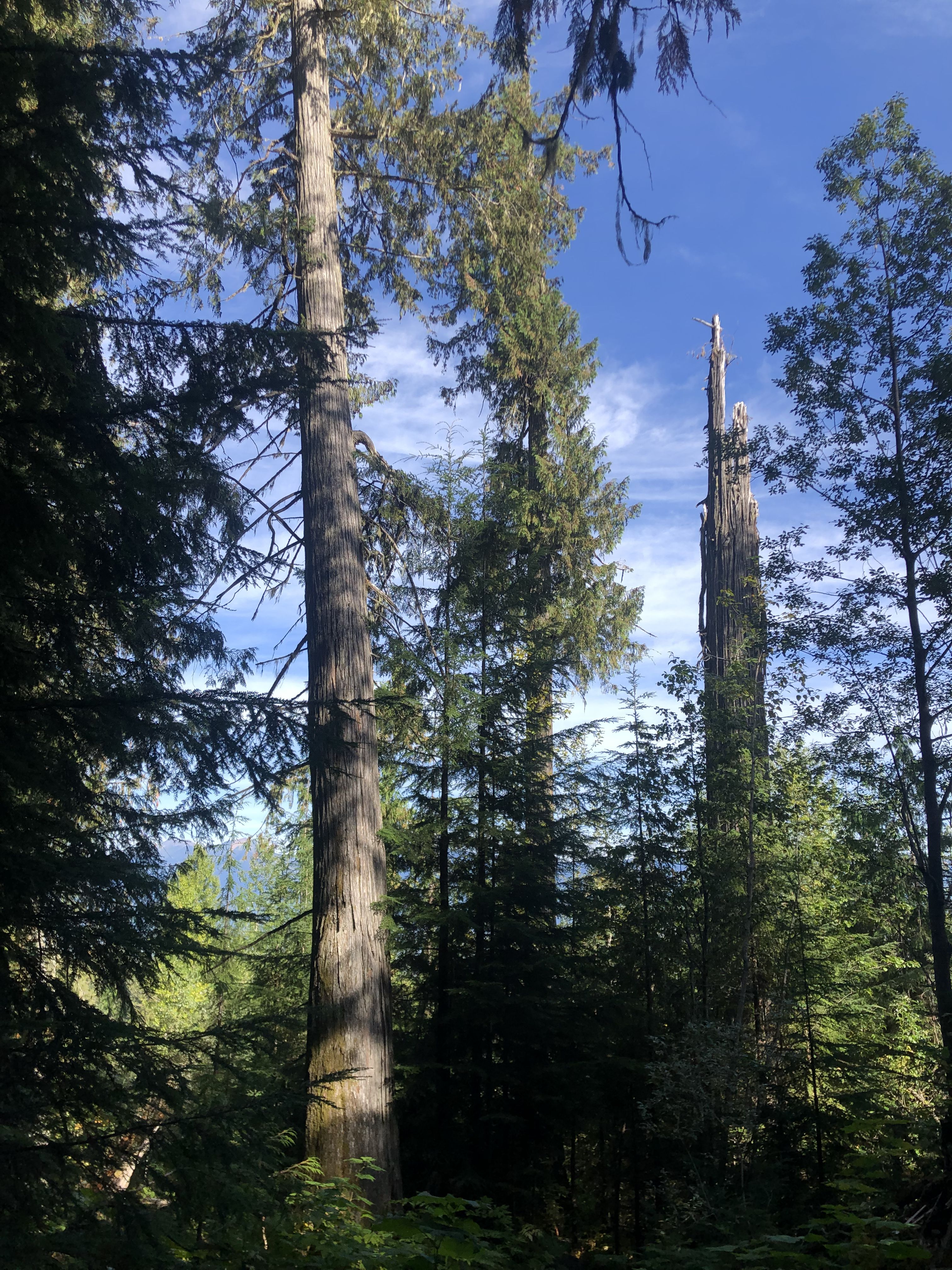
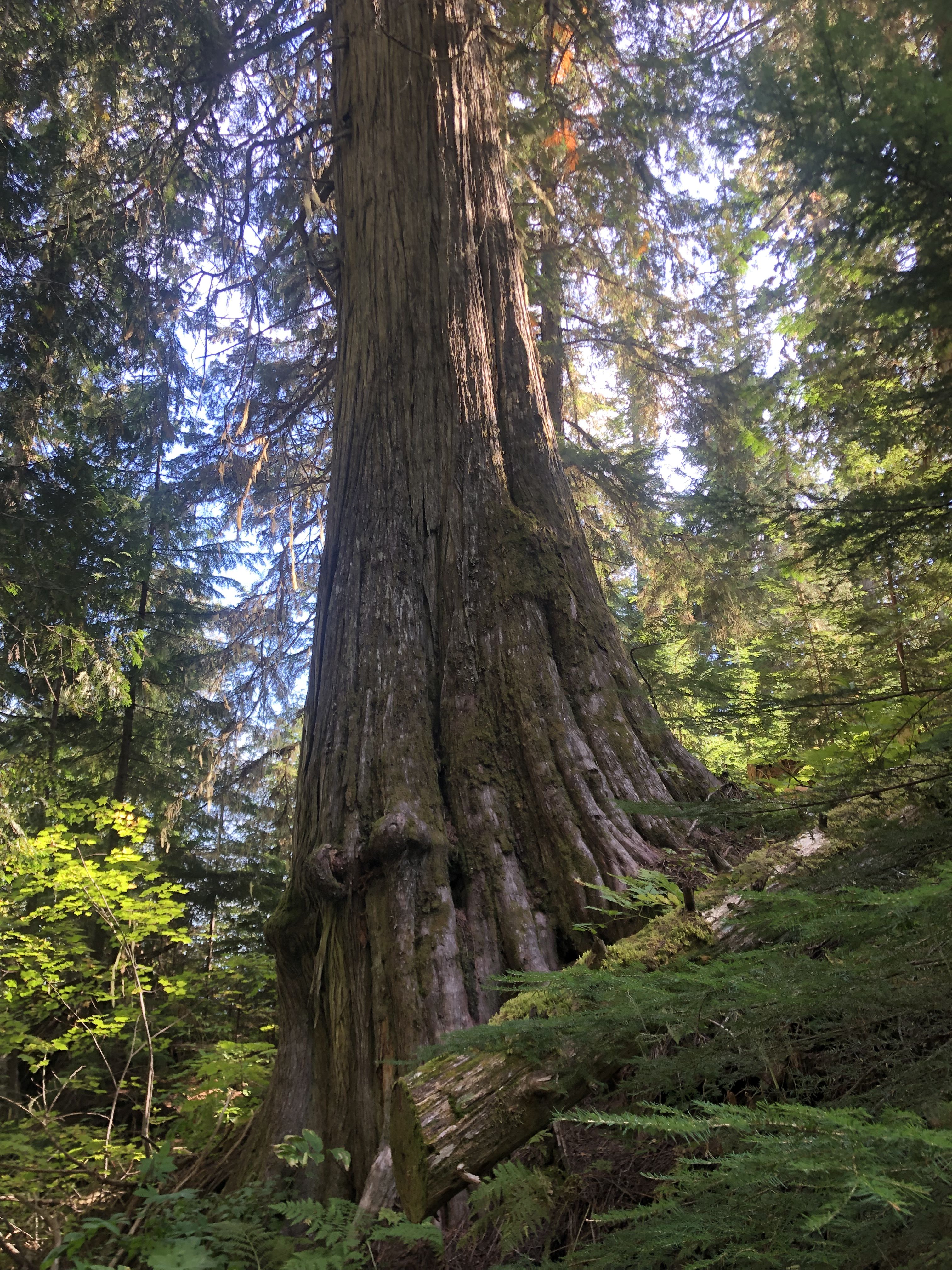
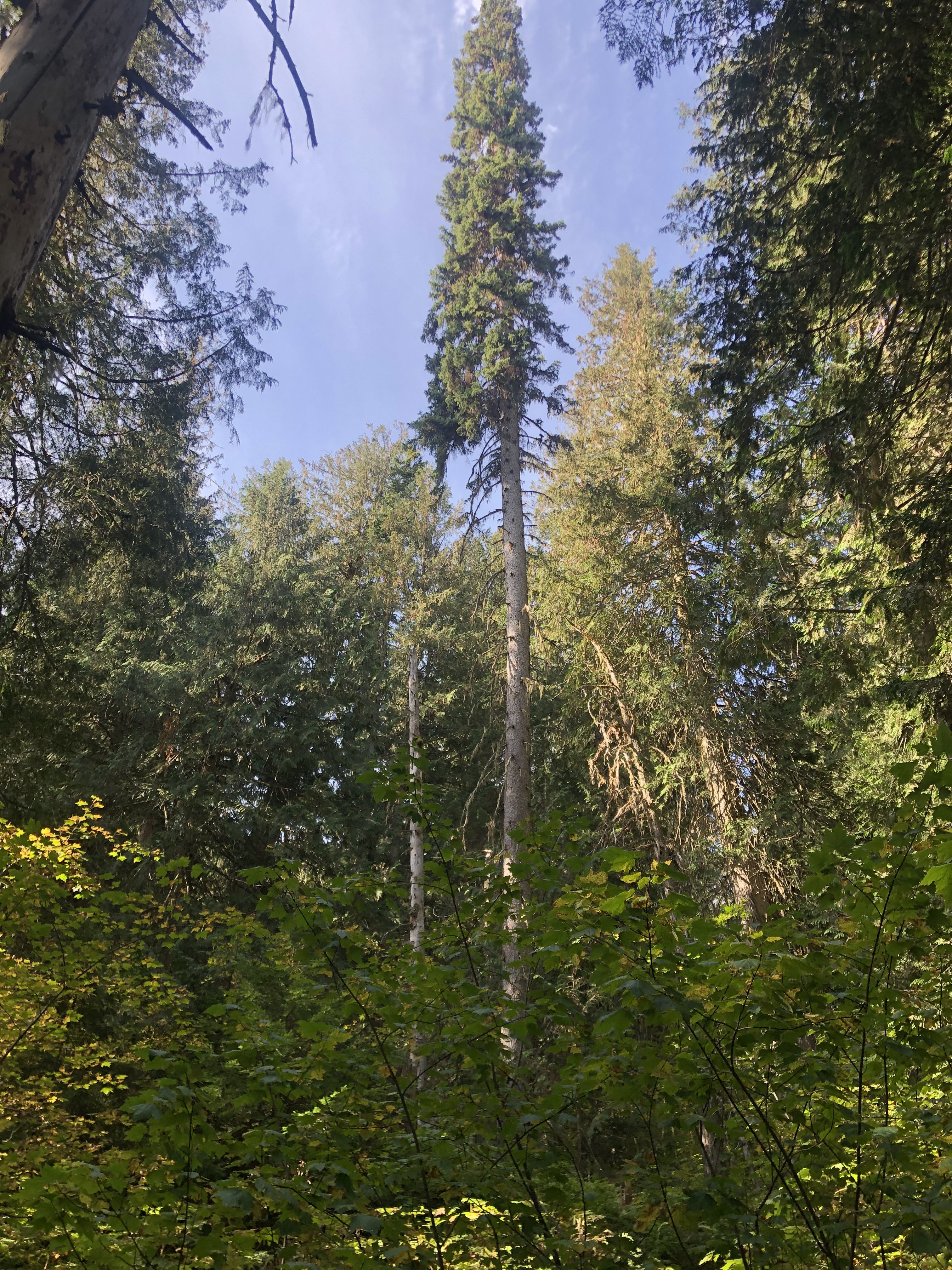
The next day, I continued east through the intermountain valleys, with the Columbia Range to the west and the Rocky Mountains to the east. These conditions create the ideal environment for a rainforest, which otherwise only exists west of the Columbia Range, where the clouds coming over the ocean release their rain. This location is over 800 km east of the ocean. A small patch of ancient old-growth forest has been protected, with some cedars over 1,000 years old.Chun T’oh Whudujut
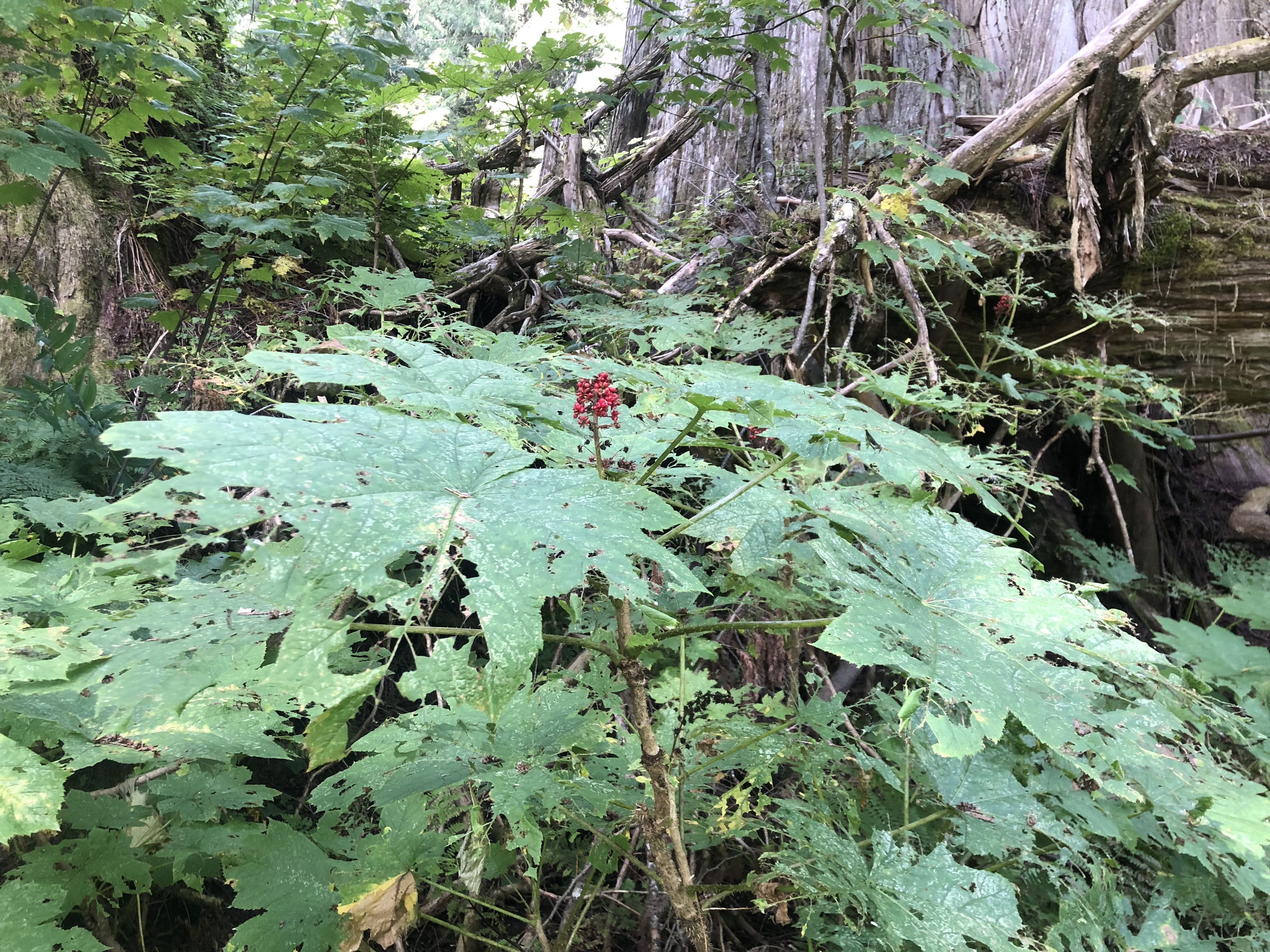
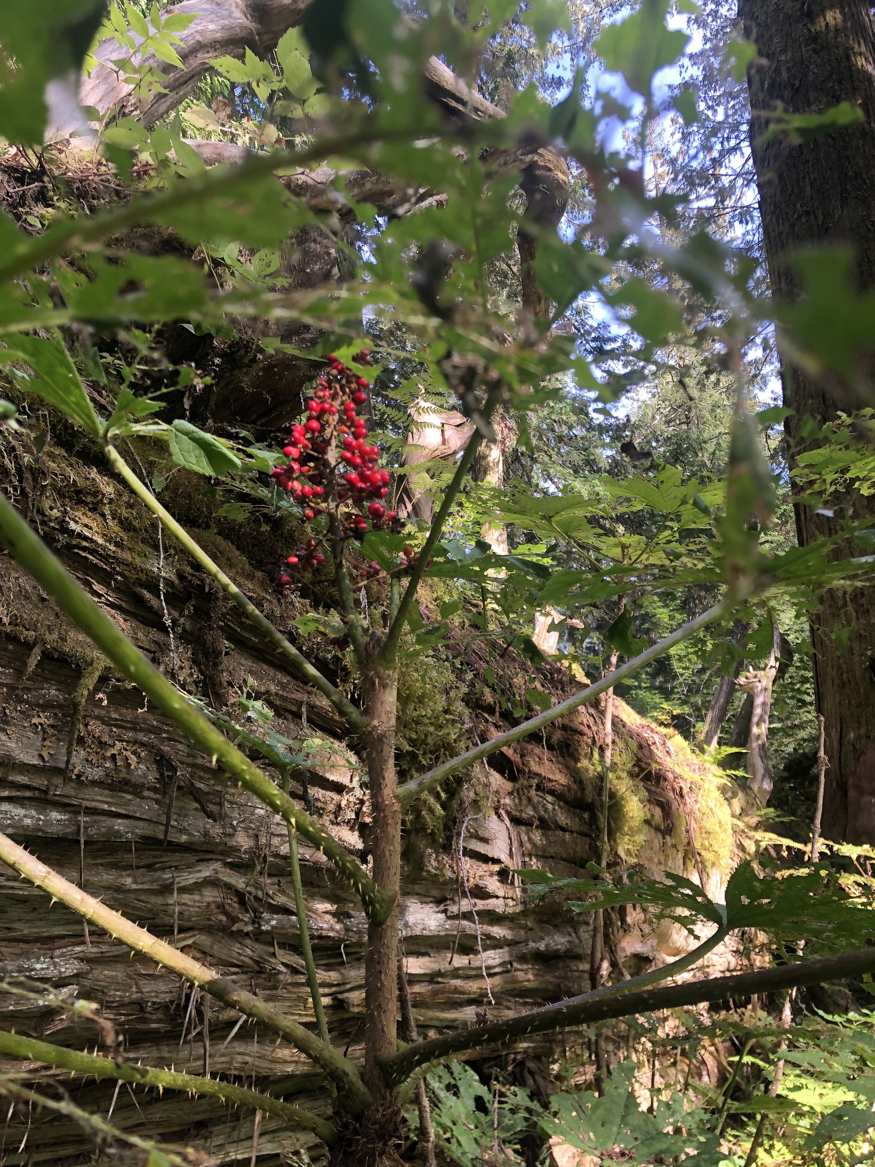
The spines of the Devil’s Club penetrate all but the sturdiest clothing.
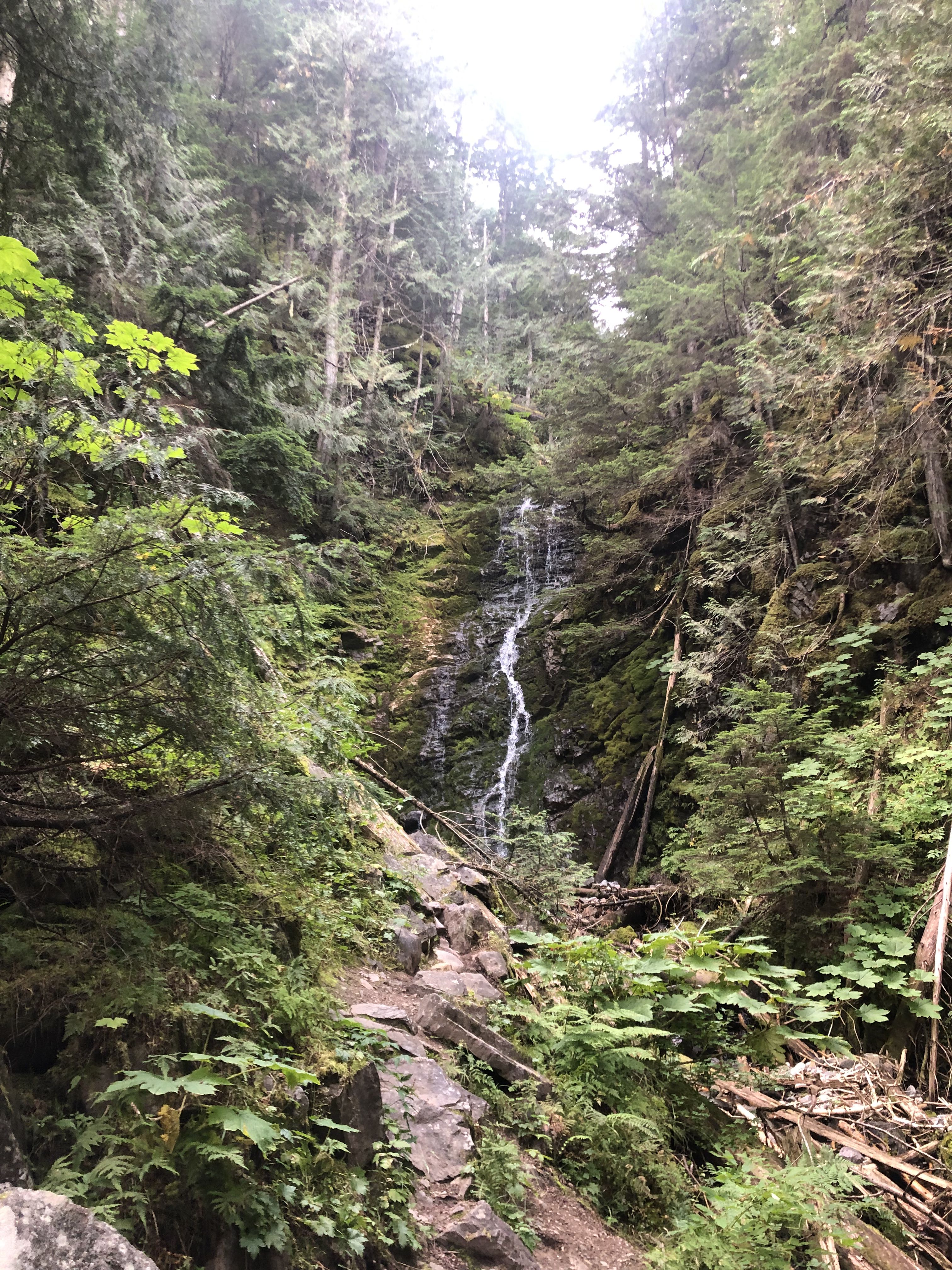
After leaving the ancient trees and heading further east, I reached the Rocky Mountains at Mt. Robson, one of the most impressive peaks.
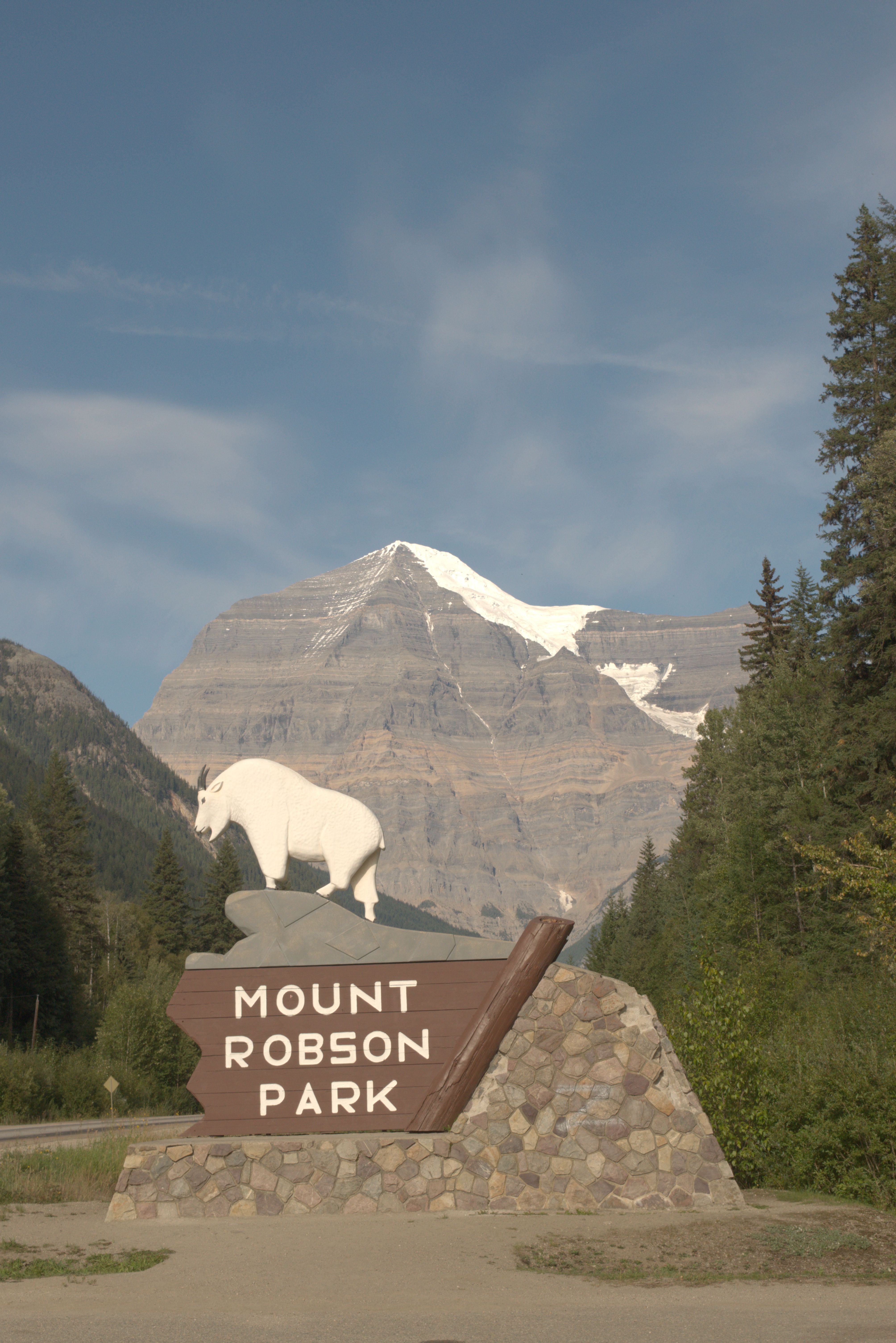
From Mt. Robson it wasn’t far to Jasper.
The forest fires that started on July 22, 2024, north and south of Jasper, were devastating. Due to the rapid spread, the main transcontinental train line near Jasper was shut down. By the evening of July 24, the southern fire had reached the town, and by July 25, 25,000 people had been evacuated. The fire grew to 32,000 hectares, and around one-third of the town’s buildings were destroyed. Fortunately, by September 7, the fire was under control, although it had expanded to 32,722 hectares.
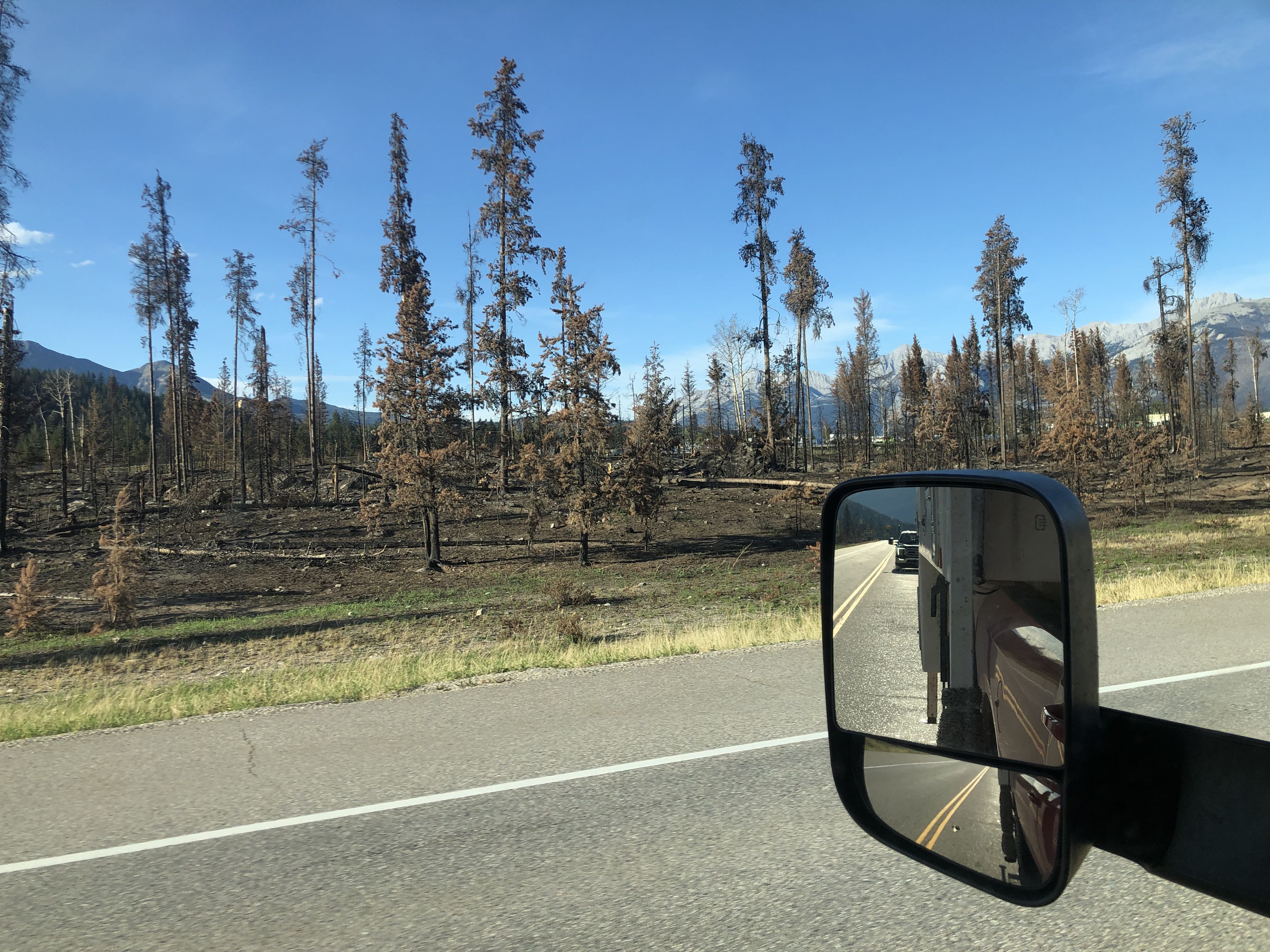
The evening after I passed Jasper, I learned that the facilities in the town had just reopened to the public, following the wildfire and the evacuation.
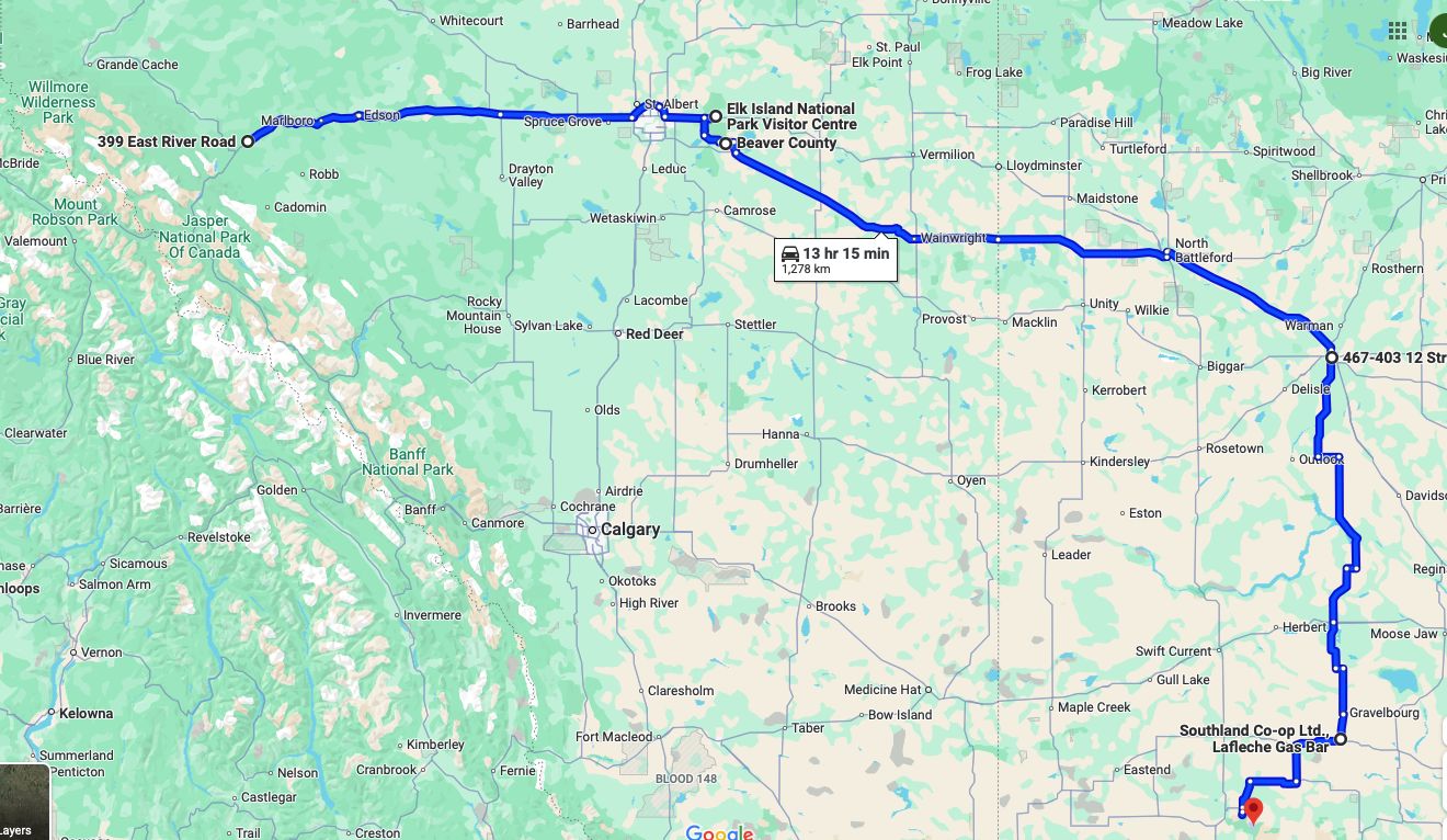
After spending the night at Mary Reimer Park in Hinton, BC, I was looking forward to the delicious treats the Italian Centre Shop in Edmonton offers. We celebrated Susi’s birthday with a cake there on our way over.
After splurging on a delicious sandwich and coffee, and bringing prosciutto for the next lunches, I set off to visit Elk Island National Park just east of Edmonton.
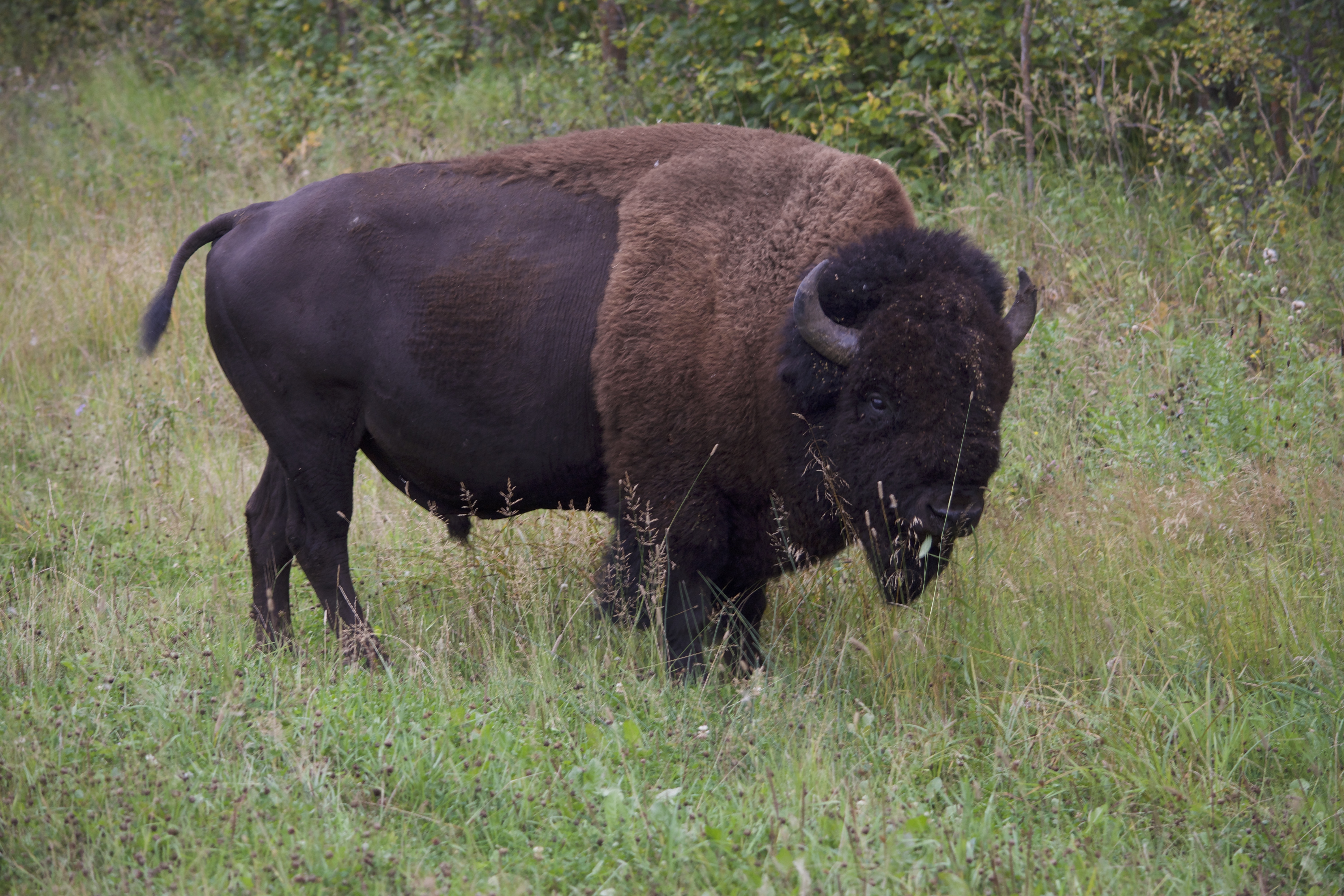
Stretching my legs with an extended afternoon hike, I encountered quite a number of bison. The last one got a little too close for comfort.
Staying overnight just south of the park, at the entrance to a cereal field recently harvested, the farmers nearby continued harvesting until late at night. The next morning, I continued to Saskatoon, where I stayed for two nights before heading to Grasslands National Park in southern Saskatchewan.
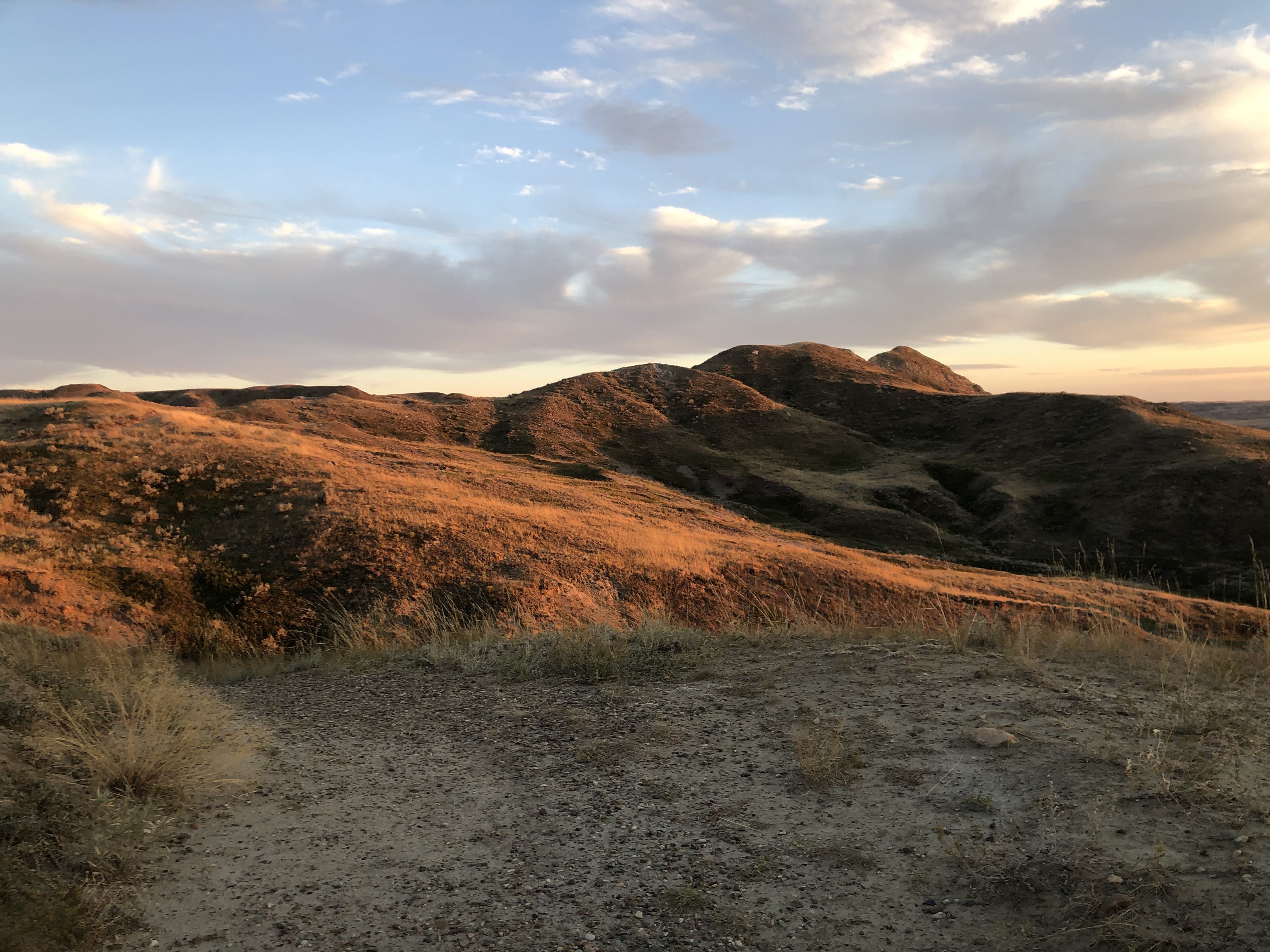
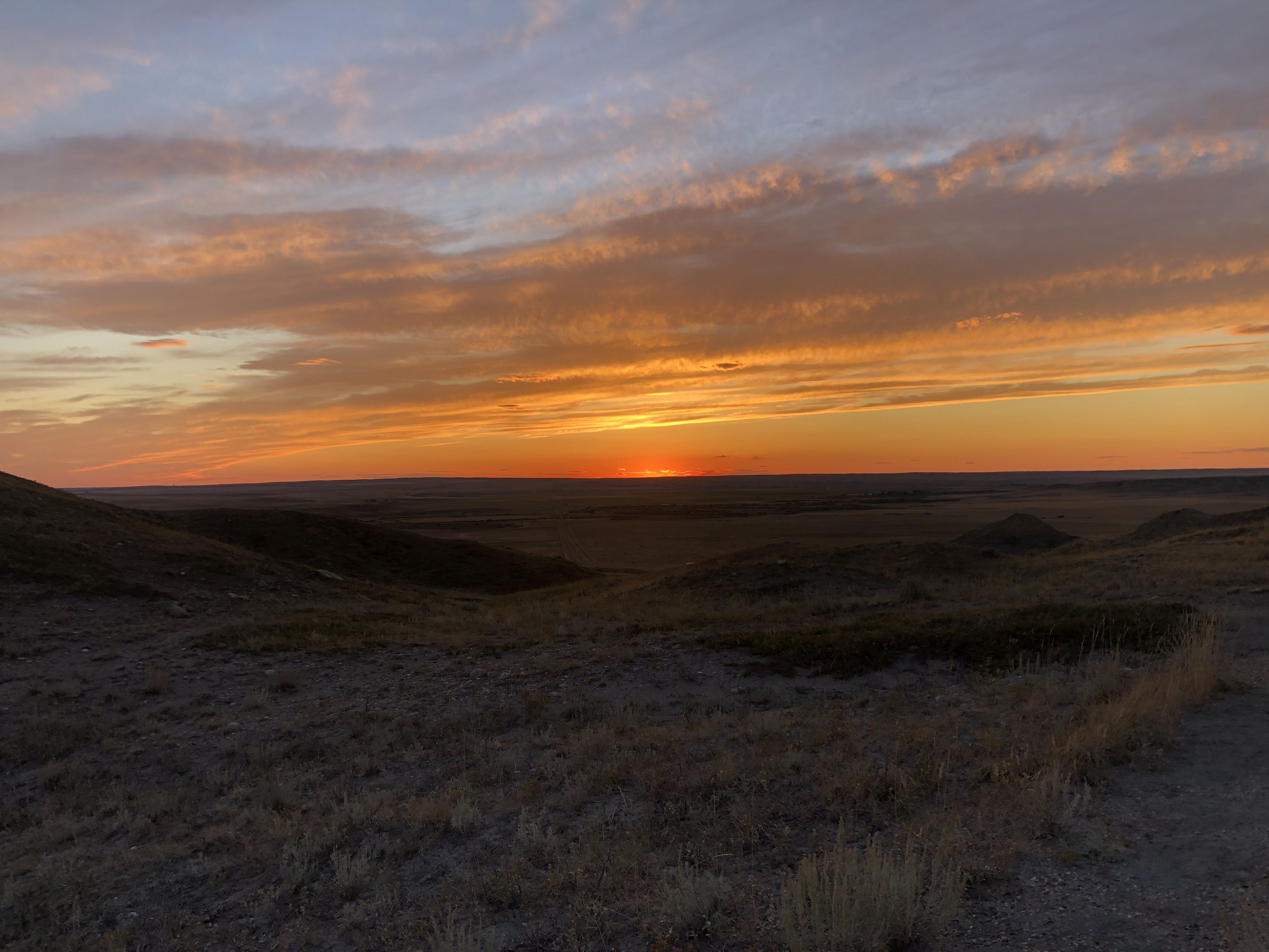
Grasslands NP is one of my favorite places. Visiting it now in its late summer state provided a nice comparison to the early summer when we spent some days here. The flowers are now mostly gone. On one of my walks, I met a woman traveling in a Dodge van. She works as a professional truck and bus driver and explores North America in between gigs.
Link to Google Maps for Part 18
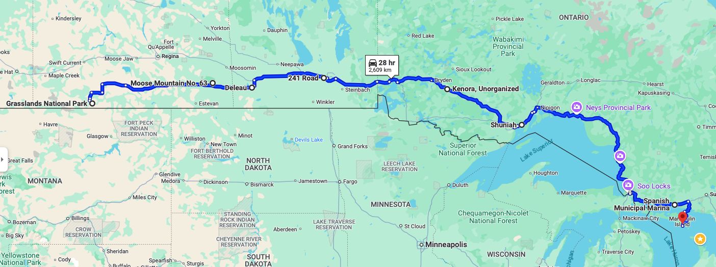
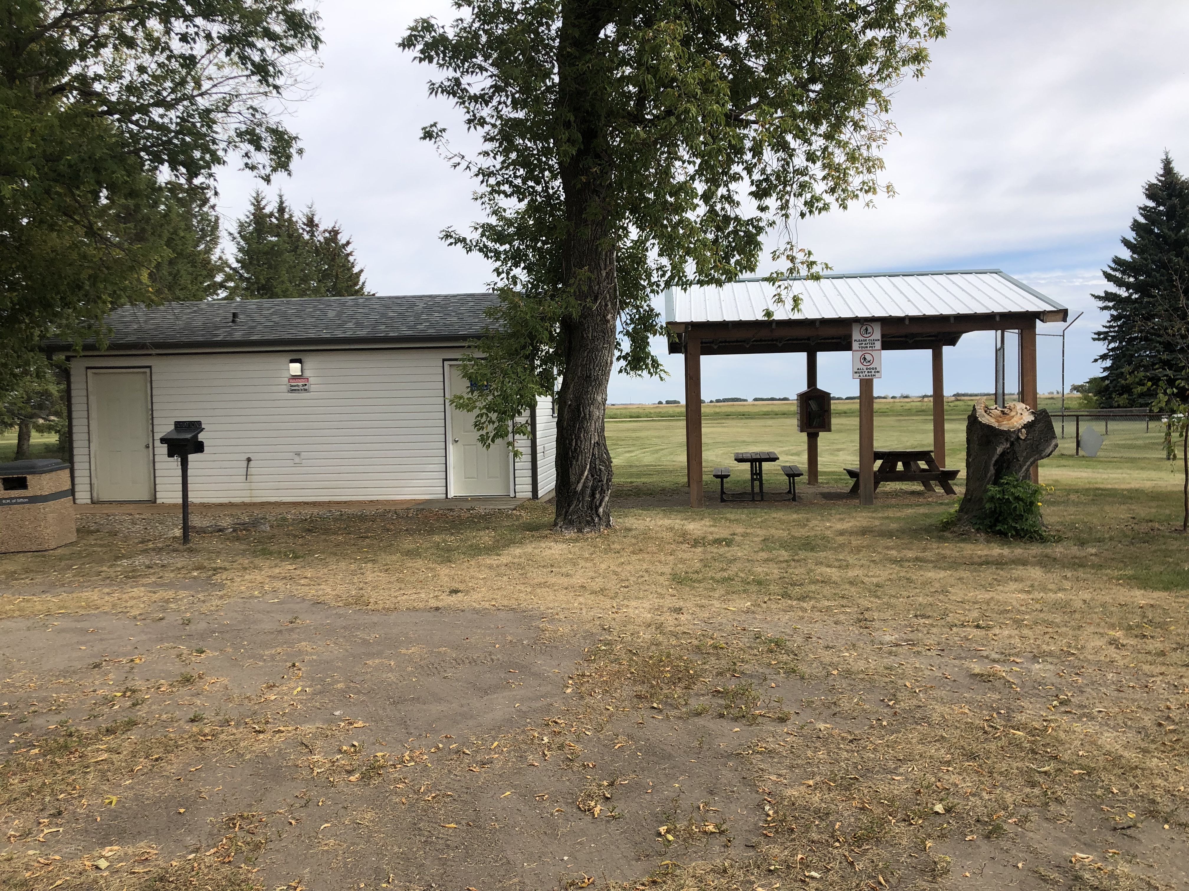
After leaving Grasslands and heading towards Carlyle, I was reminded of the very strong winds we experienced on our way west. This time, however, the weather was calm until I approached Winnipeg. I had a wonderful break at the community park in Deleau, enjoying the fun of exploring all the romance novels that populated the book exchange ‘birdhouse’.
Closer to Winnipeg, it started to rain quite heavily, and the news reported that many villages I had passed through had been flooded.”
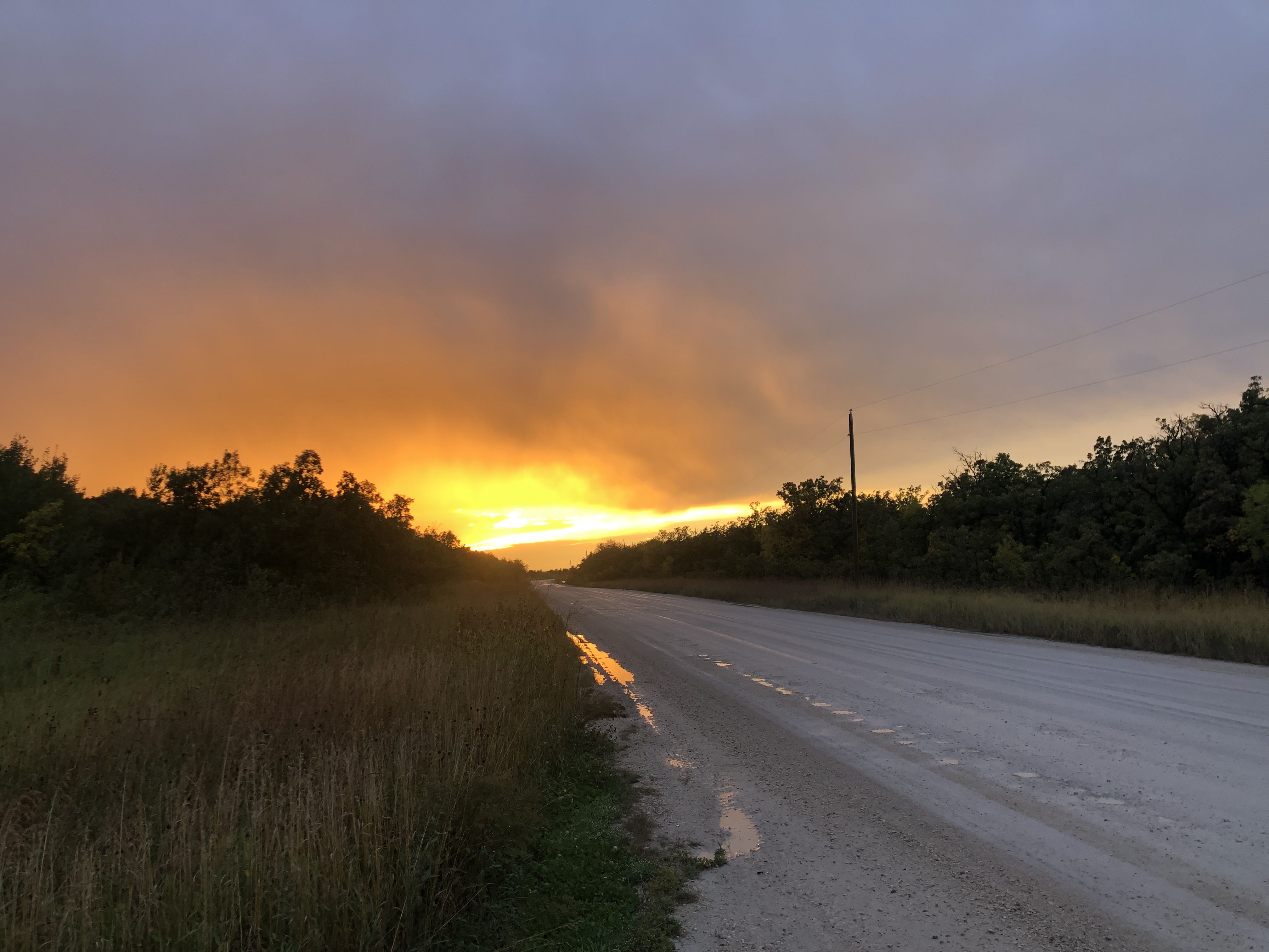
The gravel road leading to Beaudry Provincial Park, where I spend the night, was completely waterlogged and difficult to navigate due to all the rain that must have fallen just before I arrived.
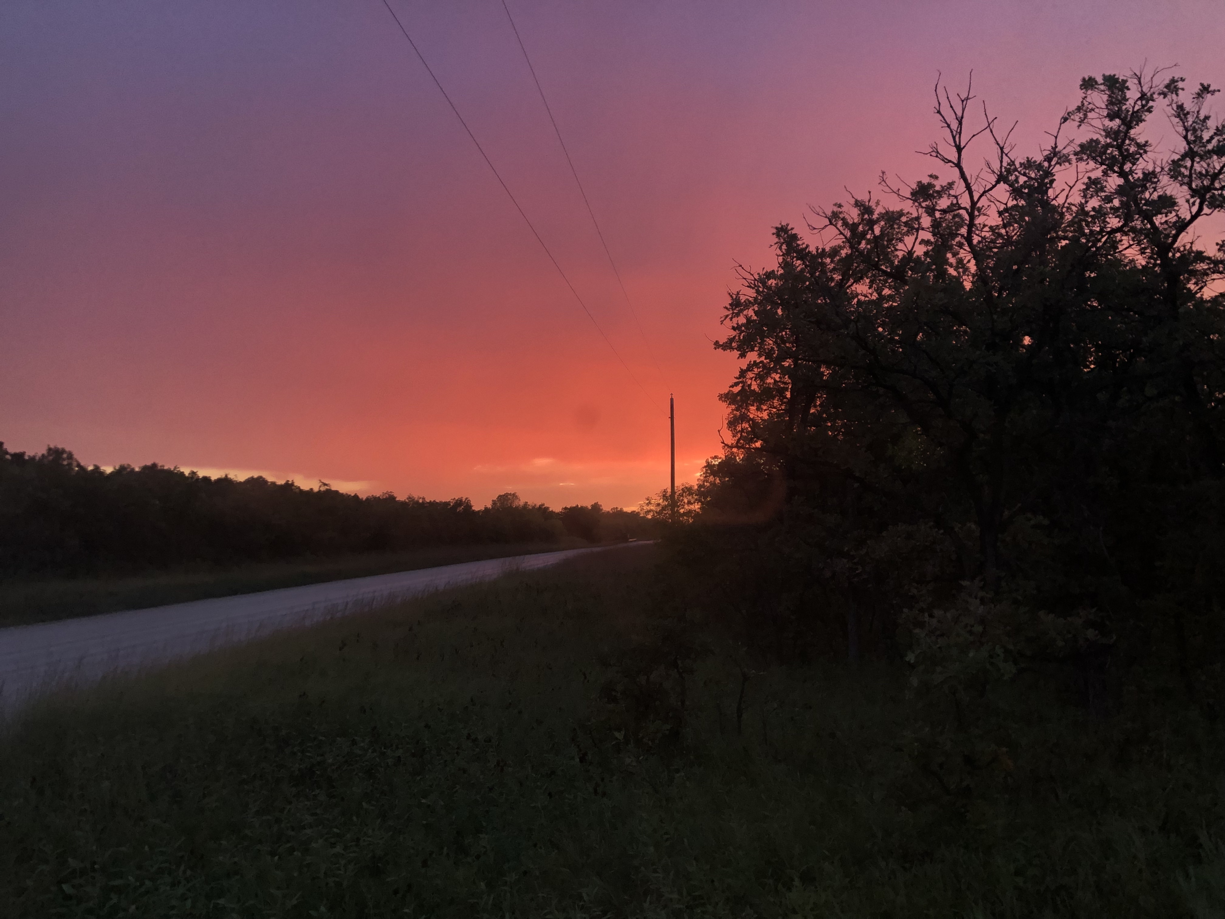
More rain overnight made me look forward to reaching asphalt roads again. I spent half the day at the impressive Museum of Human Rights in Winnipeg. While entering the museum early in the morning, I passed Wab Kinew on my way in, as he was just walking out to his car.
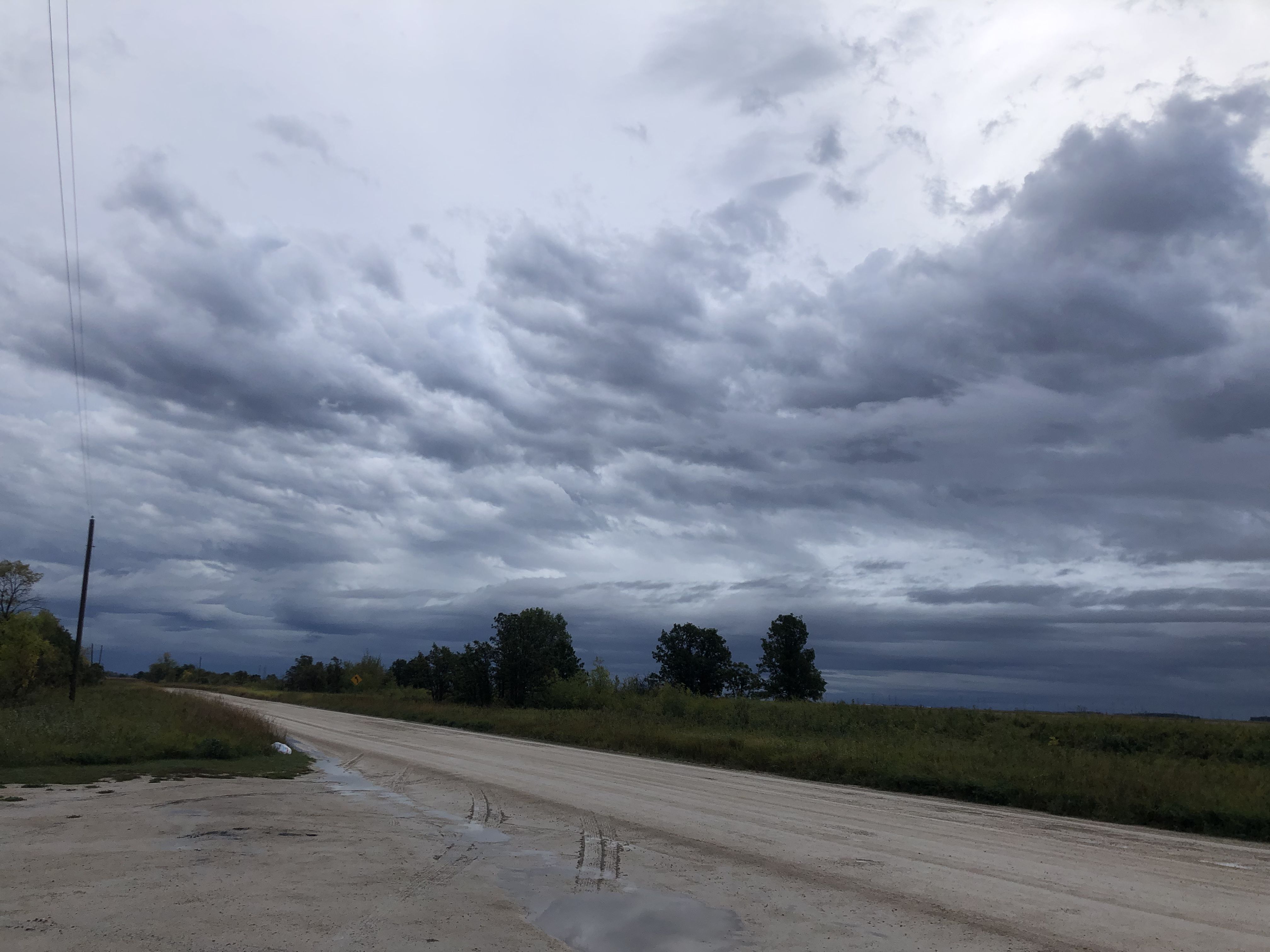
Leaving Winnipeg, the weather got increasingly unsettled with wild cloud formations jetting across the sky. On the radio, they talked about the possibility of tornado touchdowns and funnel clouds, but I didn’t experience either.
Reaching Thunder Bay, the excellent public RV water and wastewater station was very welcome! On the way out of Thunder Bay, I was wondering why the right side of the highway was lined with transport trucks for many kilometers until I came to a police stop. The highway towards Sault Ste. Marie was closed in both directions, with no bypass available. The police estimated it would take 12-24 hours before the road would open again.
Getting off the highway, most RVs went to the nearby KOA campground, which had a long line waiting to enter. Following a small road near the Lake Superior shore, I ended up at MacKenzie Point Conservation Area. Surprised to see people swimming in Lake Superior, I was happy to follow their example and was surprised at how warm the water was.
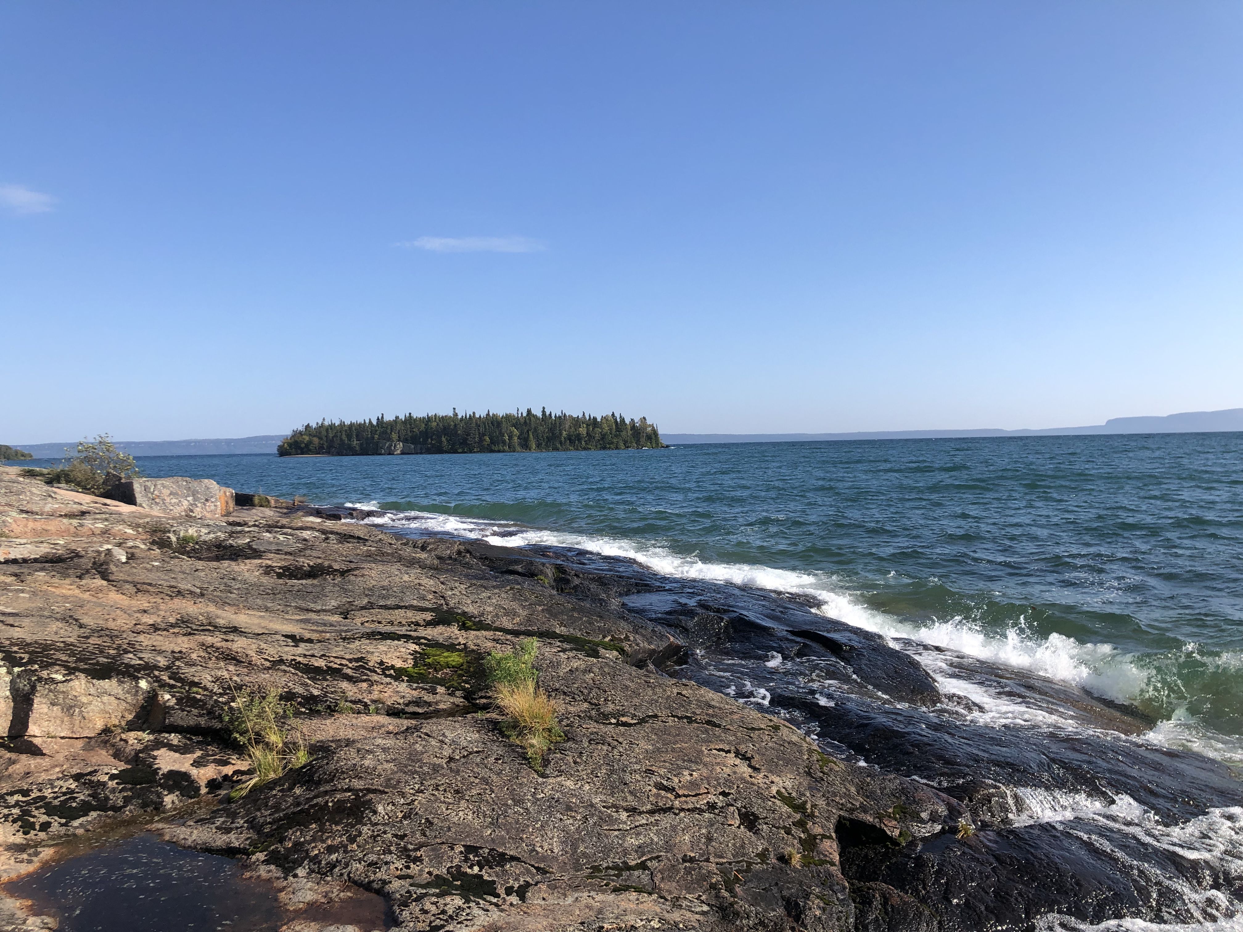
With no other options available, I stayed overnight and was very happy that nobody complained.
The trip along the shore of Lake Superior is always exciting, with all the great vistas.
The last night of this trip, I stayed in the marina by Spanish, near the residential school ruins.
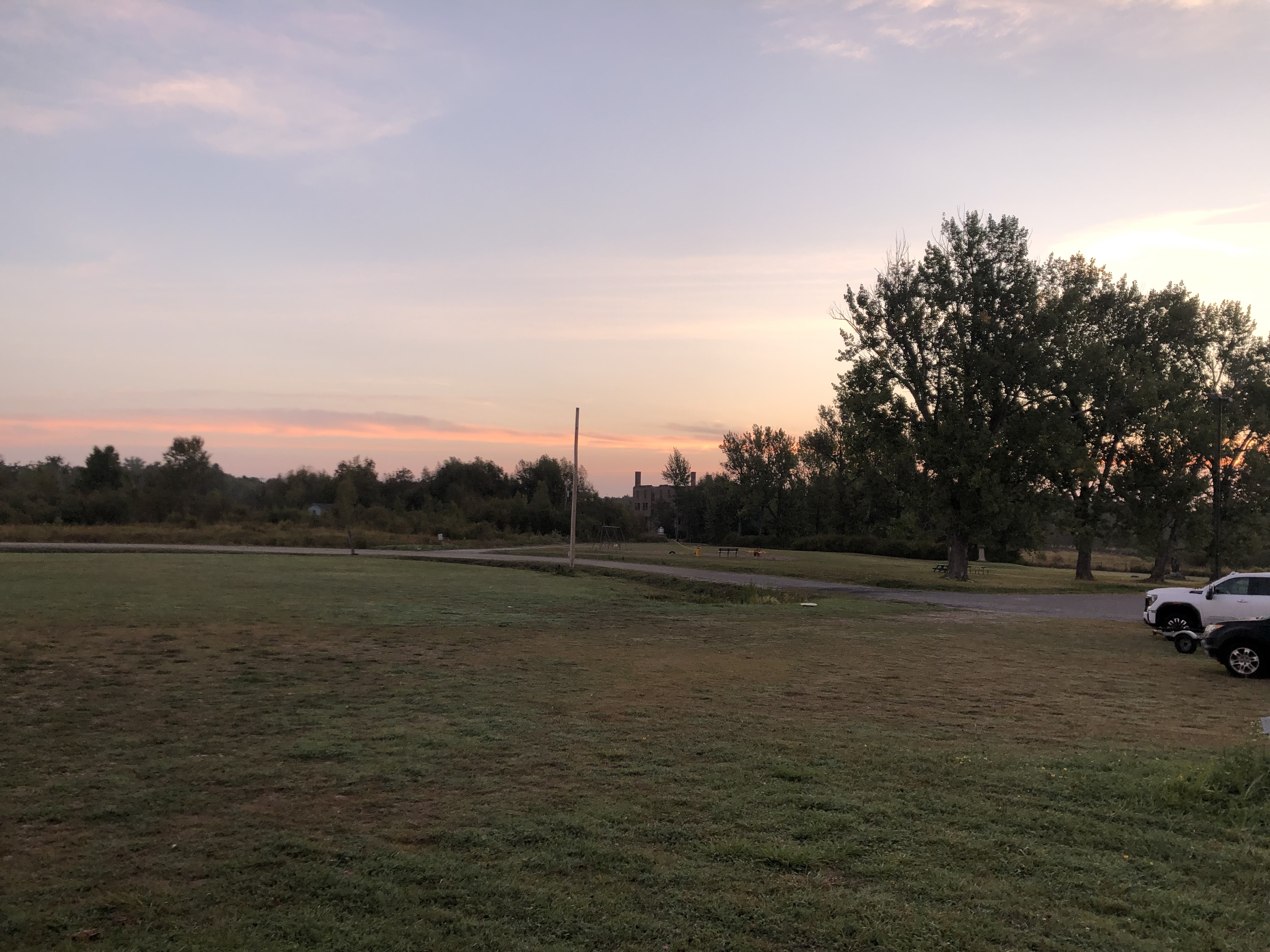
The next day, I was lucky to get an early ferry and was happy to arrive back home in the afternoon.
We started on May 28 and I came home on September 20. What a beautiful trip this was! It is incredible to be able to live in a country where we can travel 18,322 km, never stay on a campground, and meet so many friendly and supportive people across many provinces and territories.